Trip Report
Our annual, week-long backpacking excursions continue! This time a record five people decided to waste their vacation days walking in a circle: myself, Amy, Tim, Dan, and Alex VR. For sake of clarity, I will henceforth be referring to myself as Alex 1, and Alex VR as Alex 2 (please note: I am only doing this to avoid confusion and it does not necessarily reflect my beliefs on the Alex hierarchy). This is one of the largest groups I have ever gone backpacking with and it was great to spend the week with so many awesome people. Our target was the Wonderland Trail in Mount Rainier National Park. It was the ideal length to tackle in a week, treat ourselves with views of the tallest mountain in Washington, and discover a new biome. This was the furthest I have ever traveled for a hike and our first time coordinating permits to backpack in a National Park, but it was worth it.
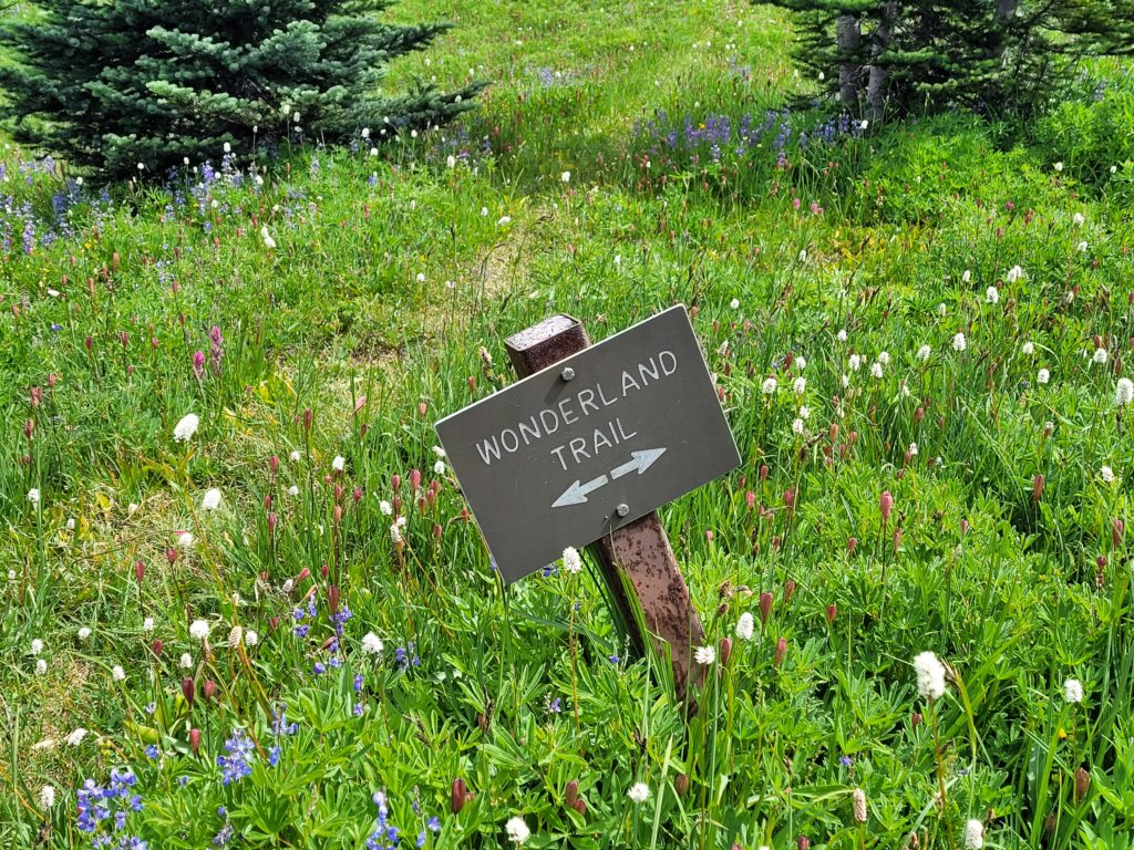
Where: Wonderland Trail (w/ Spray Park alternative) counter-clockwise through Mount Rainier National Park in Washington
When: 7/23 – 7/30
Distance: 90 miles
Conditions: high 30s to 80s, mostly sunny or overcast, only a single day of rain
Pre-Trip Information
Overview
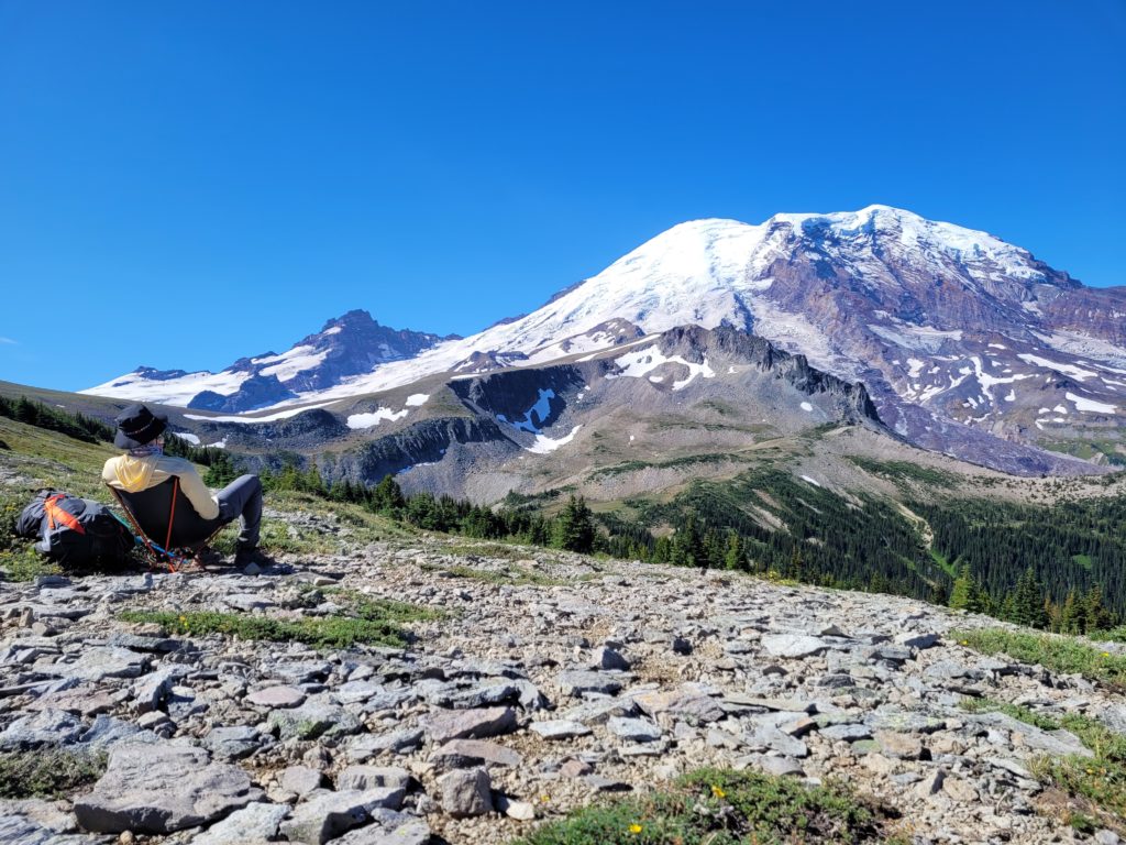
There are few trails with as legendary of a reputation as the Wonderland Trail. According to NPS, the name “Wonderland” was first attached to the trail in 1920 because the superintendent and the park concessionaire had begun promoting it as a tourist destination. That is, a literal wonderland of scenery with the iconic and somewhat intimidating Mt. Rainier (aka Mt. Tahoma) at the center. Mt. Rainier is an active volcano carved into form by glaciers. The Wonderland Trail takes you through a variety of sub-alpine landscape, including dense evergreen forests, glacial valleys, wildflower meadows, and rocky passes. If you’re a sucker for epic backdrops, it’s hard to imagine a better place in the world to go for a hike. However, there is a narrow hiking season and the only time to attempt this trail without significant snow coverage is between late July and early September.
![]()
![]()
Permits
This trail shares a permit system with all campsites in MRNP. Rather than securing a single permit to hike the entire trail, you must individually reserve campsites along the way. This means thru-hikers compete against hikers doing shorter sections and even people reserving sites for a night of camping. Of course, I did not expect special privilege for hiking the loop, but planning a full itinerary was somewhat difficult and very competitive. In addition, we were limited to a group size of five people.
Sometime in the winter of 2023, four of us each paid a couple of bucks to enter an early access permit lottery. A few months later, we got the results back: two of us lost and two of us won. The winners were then given a date in which we could log onto recreation.gov and reserve our campsites. Unfortunately, even our earliest date (Tim’s access date of 4/13) was relatively late, which meant our preferred itinerary was useless and we had to get creative. By time our access window opened, the two most popular sites on the trail (Indian Bar and Summerland) were booked for pretty much every possible date. Worse than just missing a pretty campsite, these two spots were a massive bottleneck on the trail, leaving a minimum of 18 miles between the next two viable options (Nickle Creek and White River) that had to be selected on consecutive dates. We found a couple of days in peak season where those sites were available, then worked backwards to create the rest of our itinerary. Due to surprisingly slim pickings, the best we could come up with was an 8-day loop starting July 21st at Longmire, including two campsites several miles off the Wonderland Trail and one day with only 3 miles of hiking (we call that a “nero”). Whatever, we were stoked to have the opportunity to go!
Once we arrived at Longmire around noon the day of our permit, we were able to secure walk-up permits for the campsites Carbon River and South Puyallup River, eliminating both of the off-trail sites and greatly improving our itinerary. It seemed that most of the “average” campsites had walk-up availability beyond a few days in advance. For locals, I bet it would be possible to secure walk-up permits for the entire trail.
Water
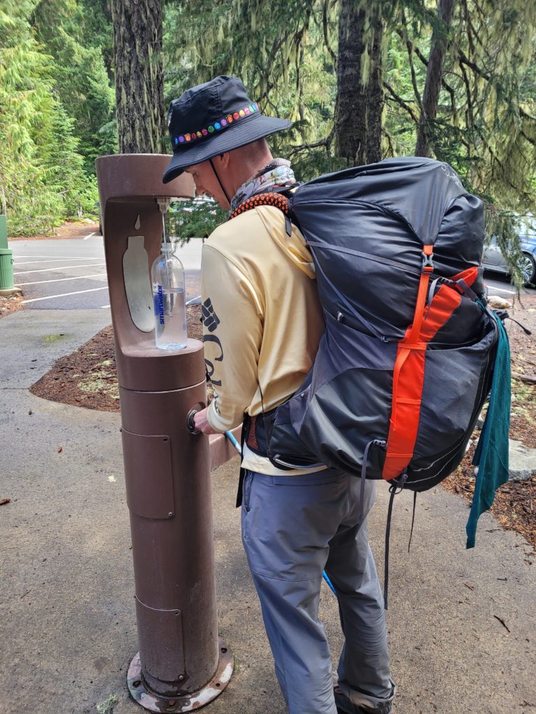
There is an abundance of water on the trail. Even during a “dry year”, practically every mile included a stream crossing. That being said, some campsites only offer a small pond/lake to filter from (they were fine). Devil’s Dream campsite is totally dry. Some of the larger rivers had grey water from glacier runoff, which we were advised not to drink. The longest dry stretch of trail was between Indian Bar and Panhandle Gap, a whopping six miles of cottonmouth that tested our survival skills. Otherwise, water was regular, crystal clear, and delicious, usually stemming from underground springs or snow melt.
Resupply
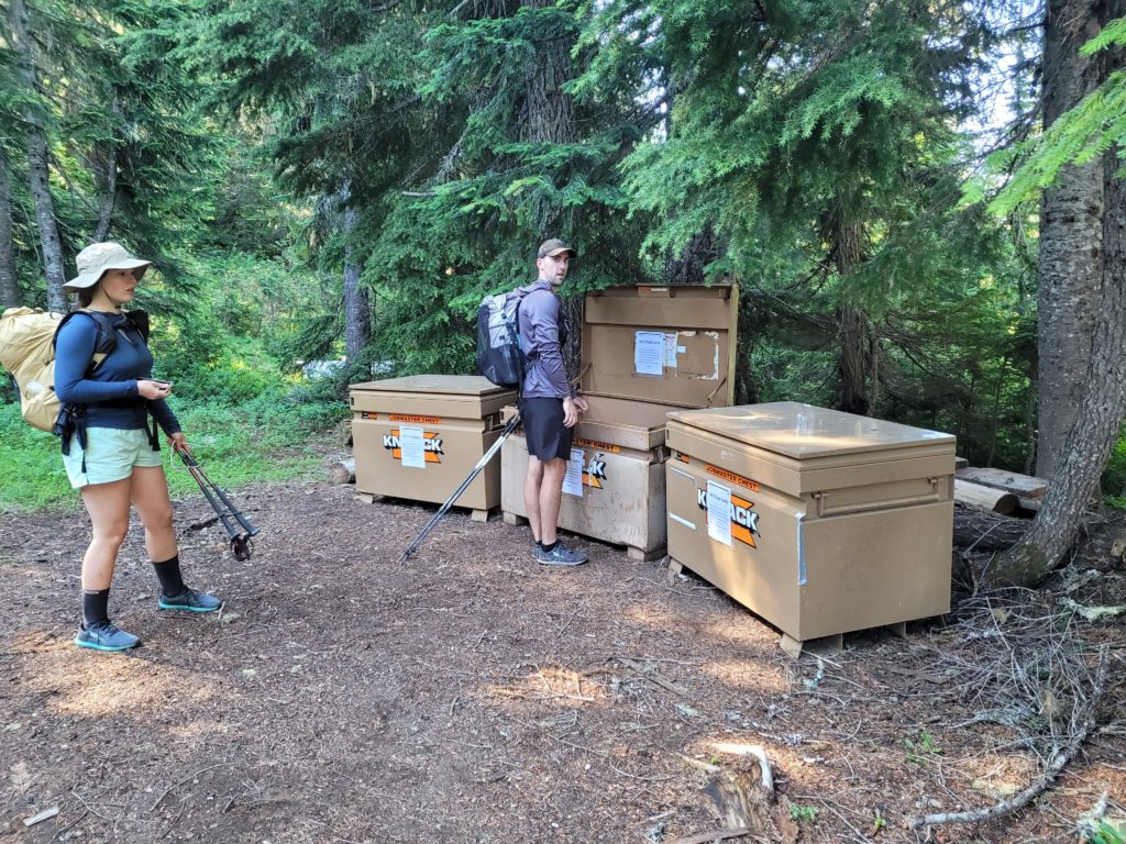
The 90 mile length of the Wonderland Trail is right at the threshold of a comfortable food carry. Since most choose to hike the loop in 9 or 10 days, having the option to resupply is handy. The NPS lists three options to mail or drop off resupplies at MRNP: Longmire, White River Campground, and the Carbon River Ranger Station by Mowich Lake. We chose to mail a single resupply cache to Mowich Lake for the final three days of food for our hike. For this, I bought a 5 gallon bucket from Ace Hardware, which had enough space for Tim, Amy, and me to store all of our food. This is recommended to prevent rodents from chewing through a box, since the caches are stored outside. The sixteen pound bucket cost us $80 to mail across the country. Retrieving the cache was easy. All of the buckets were stored securely in bear-proof, metal boxes at the patrol cabin.
Transportation
Our crew traveled from three different states this time (PA, CO, and MS). On Friday, 7/21, everyone flew into the town with a horribly contrived name, SeaTac. Located smack dab in the middle between Seattle and Tacoma, it is home to highlights such as the Seattle-Tacoma airport, Dick’s Drive-In, a sketchy, purple fast food restaurant called Master Burger Meister, and the luxurious Silver Dollar Casino. From the airport, we rented a Toyota 4Runner that comfortably fit all five of us and our hiking gear. It was comfortable for, well, everyone except whoever got the middle seat. A shuttle to the trailhead would have been ideal for a trip like this, but nothing of the sort exists, and we were forced to pay for nine days of rental cost just for our SUV to sit in a parking lot 80% of the time.
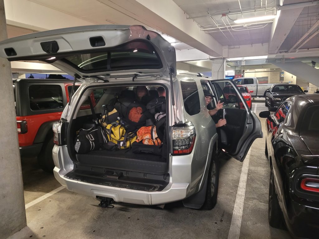
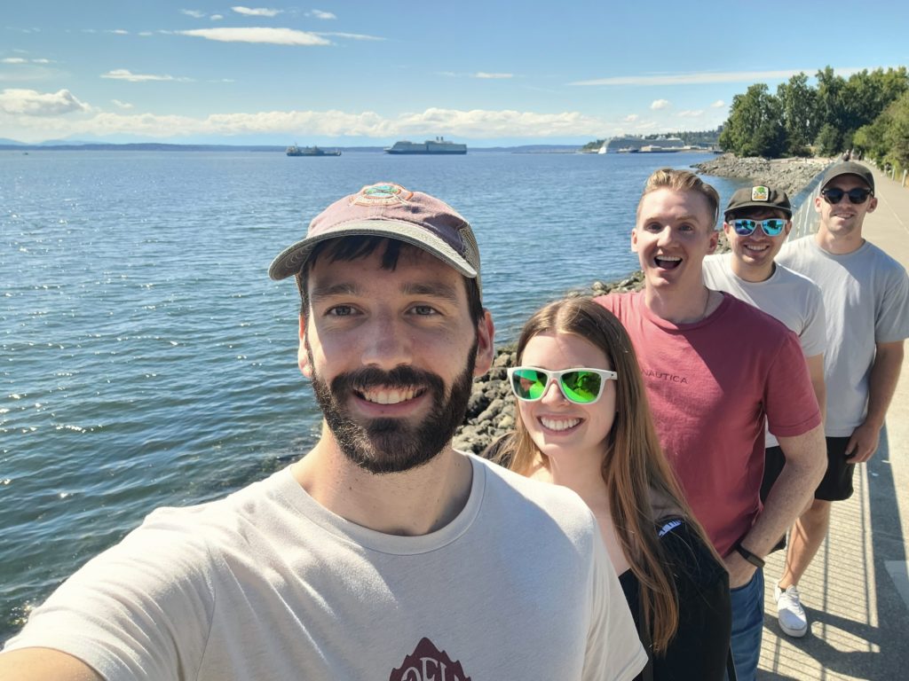
Another stroke of misfortune was Ms. Taylor Swift planning her Eras Tour in Seattle the same weekend we flew in, jacking up the hotels to ridiculous prices. Even worse, everyone thought we were Swifties. To avoid the shame, we drove an hour from the airport to Olympia, WA where we found an AirBnB with 0 reviews looking to build a reputation (pun not intended). We saved quite a bit on lodging this way, and the house turned out to be a nice little home base for our activities the next day. We would have preferred a free day after the hike rather than before, but this was the only way we could make our permit work. So, we spent our Saturday in Seattle:
- Drinking olive oil coffee at an authentic Starbucks
- Visiting the REI flagship store for their Anniversary Party
- Checking out Pike’s Place Market, watching fish get tossed around, and eating seafood at Lowell’s
- Looking at gum stuck to a wall
- Walking the Olympic Sculpture Park and visiting the Space Needle
- Drinking beer at Cloudburst Brewery
- Playing hide n’ seek at Volunteer Park
- Introducing Dan to raw fish and getting sake drunk at Aoki Sushi
Day 1
Longmire to Nickle Creek
Distance: 14.2 miles
Elevation Gain: +3387′ -2754′
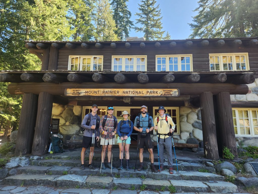
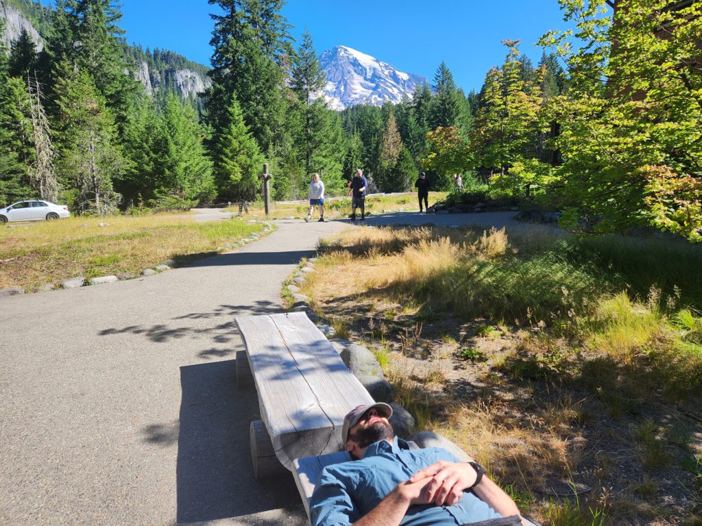
We set our alarms for 8:00am Sunday morning, ate half a bagel each, and stuffed our packs in the trunk of the 4Runner. We navigated to the mountains with only the towering visual of Mt. Rainier to guide us (and a little help by Google). We stopped halfway for gas, sunglasses, and McDonald’s. About two hours later, we drove underneath the wooden sign denoting Mount Rainier National Park and parked the boat at Longmire. We spoke to the ranger to pick up our permit and make some modifications to our itinerary. He gave us a rundown on park rules of which I barely listened due to pure excitement. Even from the parking lot at Longmire, we had en epic view of Rainier on a beautiful summer day and we were all stoked to get started. After a quick stop in the gift shop, we hit the trail around 1:00pm heading counter-clockwise around the 14,411′ mountain.
The trail outside Longmire was so well groomed it was almost unbelievable. Two people could easily hike side-by-side and no rock nor root was to be found along the pine needle foundation. In addition, the trail was gently graded for our first climb to Reflection Lakes. Along the way, we passed three separate waterfalls! The highlight was the fantastic, Narada Falls, projecting a vibrant rainbow across the mist.
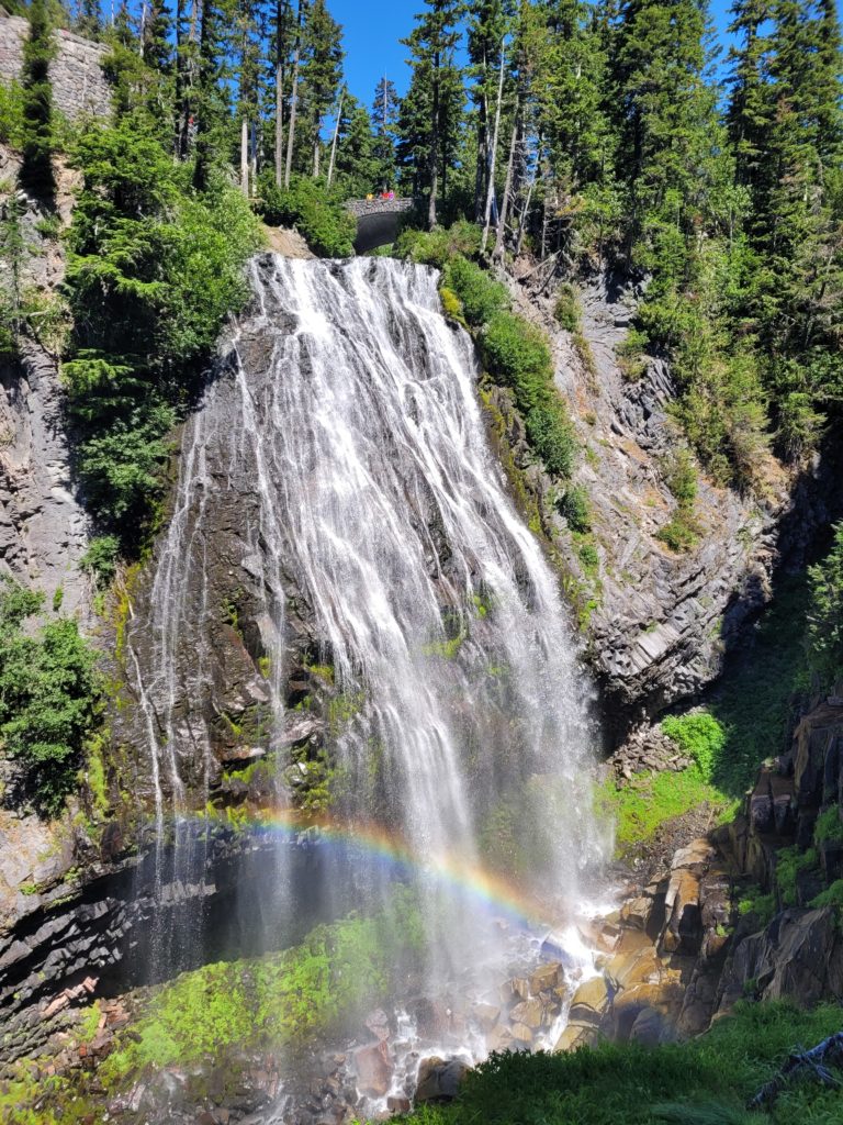
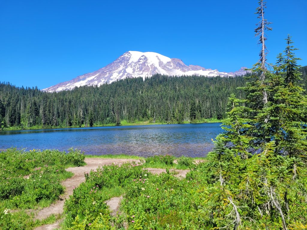
This southern section of the loop had several accessible parking lots, which meant it was flooded with day hikers that made it feel, well, like a National Park. Reflection Lake offered a stunning view of the mountain, with fish regularly jumping out of the water to catch mayflies. It was posted “No Swimming”, so we hiked a bit further before stopping for a bite and a dip at Louise Lake. Here, the water was shallow and warm for ten or more yards before dropping off to icy depths. It was a hot summer day (and would prove to be the hottest of the entire hike) so we all enjoyed our first swim in the gorgeous lake while baking in the sun.
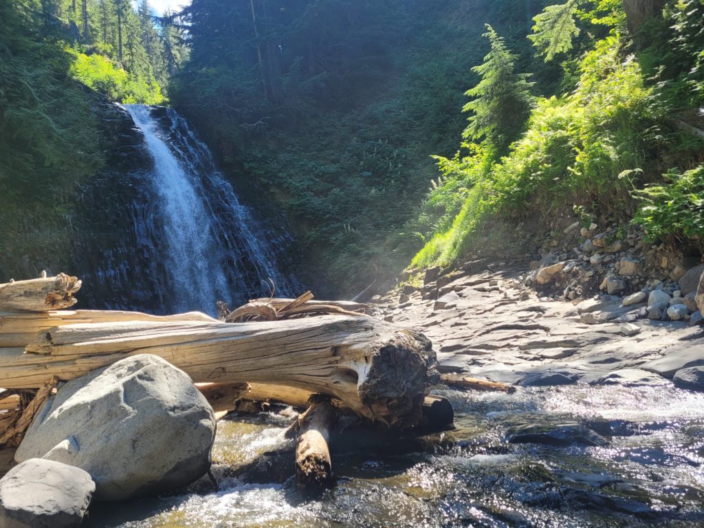
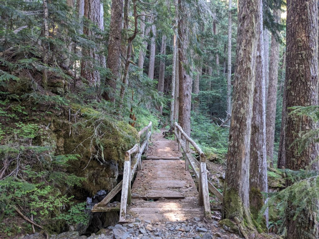
We continued on past one final waterfall deep in the woods, Sylvia Falls, which ran from Unicorn Creek. There was a stretch of washed out trail along the way that slowed us down. Then, we crossed a sturdy footbridge over Box Canyon, a narrow, 115′ plunge to a stream of rushing water. Finally, we reached our first campsite at Nickle Creek and surveyed the grounds.
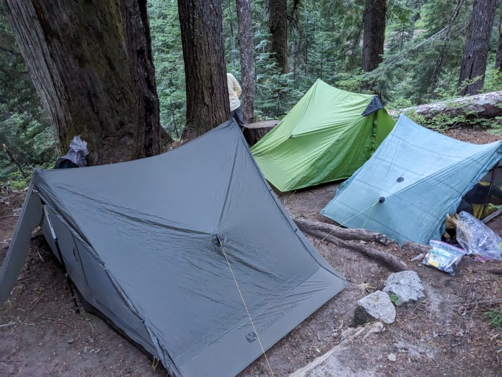
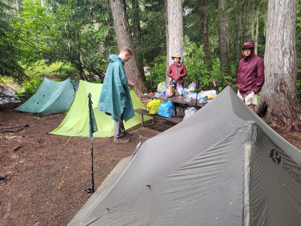
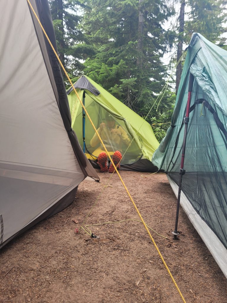
There were only three numbered plots for tents (one was already taken) and all were quite small. We took the larger one and barely had enough space to pitch three tents. Amy and I shared one, as well as Tim and Dan, but even so, three non-freestanding trekking pole tents require a decent amount of space to string the guylines. I will say that despite the group size limit being 5 hikers per permit, it is not possible to fit more than three tents at most of the Wonderland Trail campsites. We found out after the trip that groups with three or more tents are supposed to reserve group sites. Oh well, we made it work.
Fortunately, the other campsite was left vacant during the evening, so after setting up we all ate dinner and played the game “Love Letter” on a nice, round tree stump at the other site. Alex 2, Amy, and I brought our stoves and boiled water for dehydrated cuisine, Tim prepared slightly elevated cold soaked dinners, and Dan packed exclusively plain ramen noodles for both lunch and dinner for every day of the hike. Some people are just built different. After eating, we decided to give each other butt-themed trail names on the spot:
- Dan got Sticky Buns because he sat in tree sap
- Alex VR was Butt Flap because he packed a chair and told us he wished it had a butt flap
- Tim got Skid Mark because we thought that was hilarious
- Amy got Wide Load because we passed a wide load truck on the freeway
- I got Nutz so I had to introduce myself as “Hi, I’m nuts”
Day 2
Nickle Creek to White River
Distance: 18.0 miles
Elevation Gain: +5611′ -4709′
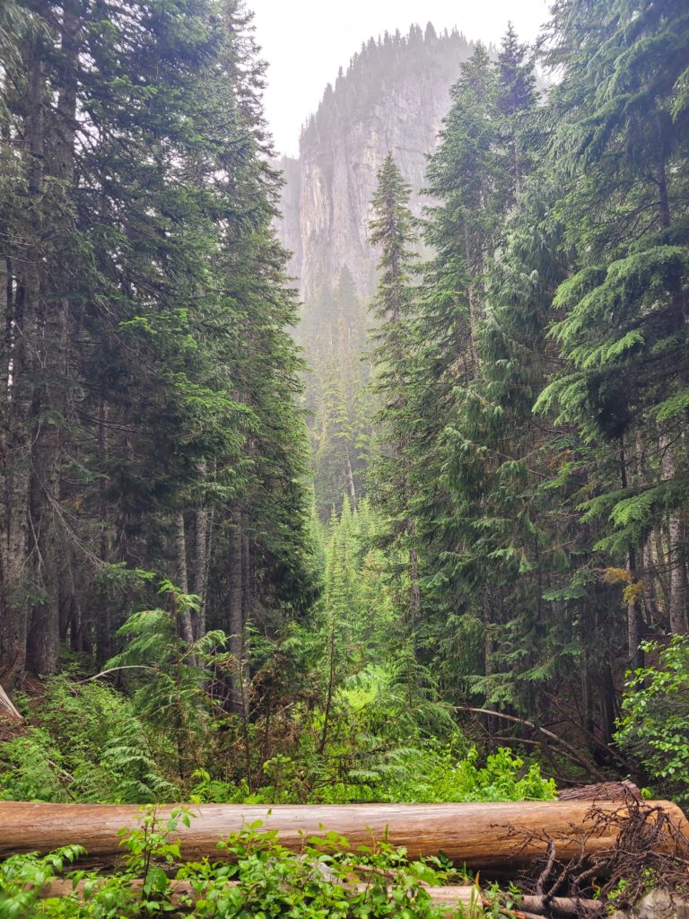
Most of us were still running on EST, so we rose somewhat early the next morning. Alex VR brought his stove to heat oatmeal and coffee for breakfast while the rest of us relied on dry energy bars or pastries. Our group started at 7:40am for what was our longest planned day of hiking, 18 miles up and over Panhandle Gap. Immediately, we began climbing a dense, wooded hillside for several miles. The fir trees in the park were simply massive and I was amazed at the abundance of evergreens. As we went we saw views of distant mountains, including Mt. Adams, which we mistakenly took for Mt. Rainier as it was covered by clouds (how did we get so far away!?)
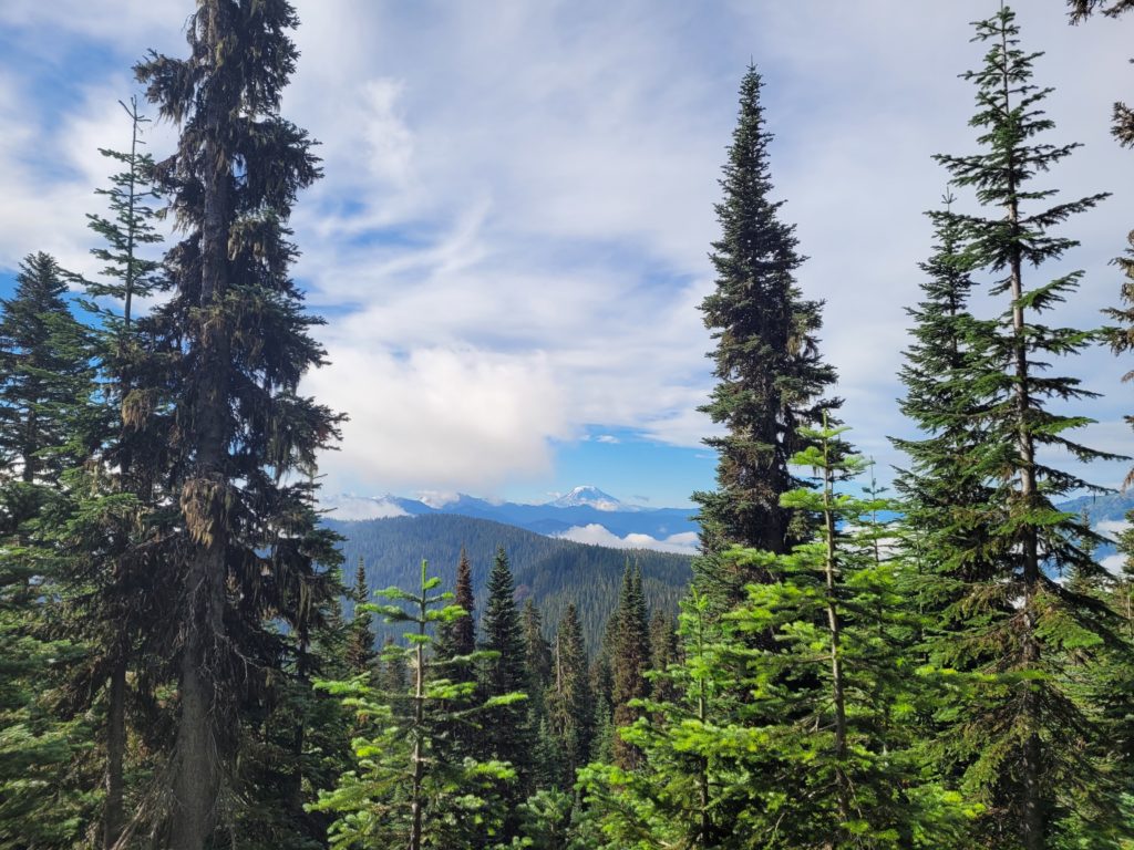
We took a break on an overlook and got swarmed by mosquitoes, then quickly continued ahead past two proud marmots basking in the sun while their pups played in the rocks. Marmots look like groundhogs, only white, less-chunky, and generally cuter. We found them chilling all over the park. We also saw some unique flora on this stretch, including fields covered in beargrass and shaggy mane mushrooms.
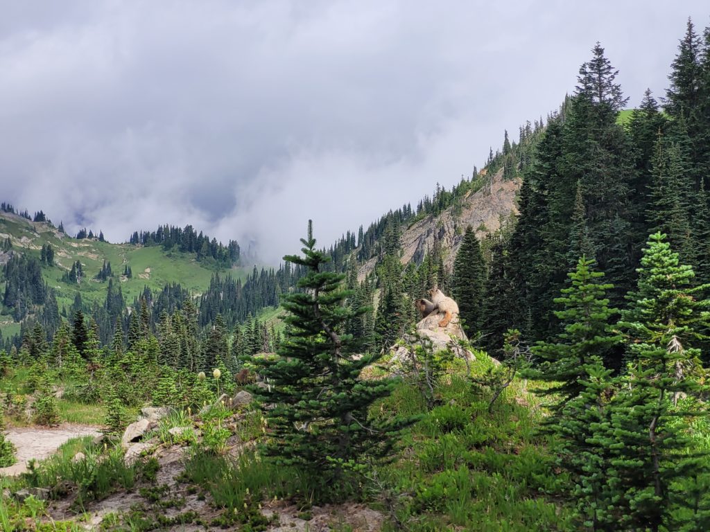
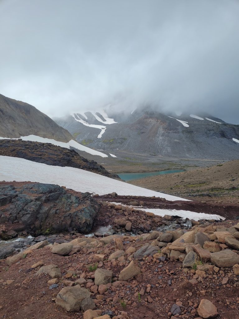
As we continued to climb, we grew more tired and the weather became colder, foggier, and rainier. Not wanting to take lunch in the rain, we trudged ahead despite our collective hangriness. The dense fog obscured what would have otherwise been fantastic views of Mt. Rainier, and contributed a chilling aura. It seemed we were hiking through a dream, with vibrant green grass and wildflowers contrasting the white haze. Soon, the lush landscape gave way to cold rock and patches of lingering snow. We decided to stop for lunch about a mile shy of Panhandle Gap, thinking the boost of energy would help us knock out the final few hundred feet of climbing.
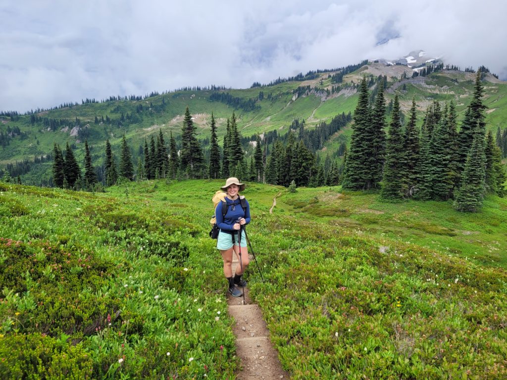
It may have been the shortest lunch break on record. As the wind blasted us, we were way too cold to sit still. We found ourselves hauling up the pass twenty minutes later to the highest point on the Wonderland Trail at 6,781′. The crest of Panhandle Gap was an exposed ledge of boot-tracked snow. Amy took her time tip-toeing across. Dan decided to slide down the ice on his butt. You know what they say, there’s more than one way to skin a marmot.
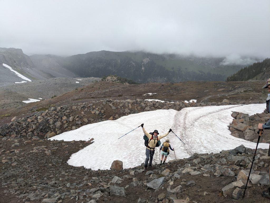
As we began the descent, a group of three foreigners hiking the opposite direction were blown away that we were doing the full Wonderland Trail and I mistakenly gave one of them my email address. We watched them conquer the pass while we stood by a bright blue tarn in the center of an alpine bowl between the mountains. Everything higher than ~50′ was still obscured by heavy fog. As we declined further to Summerland, the fog slowly lifted but we never caught sight of Mt. Rainier. Still, the Summerland meadow was a beautiful area, littered with flowers and happy marmots chowing down on them.
The remaining seven miles were a drawn out series of switchbacks through the woods. Everyone handled the monotony in their own way. Our group often fractured into conversation pairs, mindlessly rambling about how things have been at home, future plans, weddings, etc. At length, we popped out of the forest in front of a great white river, which we crossed to find a restroom with flushing toilets, a water fountain, and a massive car camping paradise. Seeing acres of massive car camping sites with roaring fires made us excited to see how nice the backpacking sites would be. It was after 7:00pm at this point, and we were whooped.
The sites were, for lack of a better word, pathetic. All of the sites were shoved into a tight space behind the ranger cabin in extremely cramped pads. At the risk of sounding entitled, I do think it is a shame that such a competitive permit process yields such underwhelming backpacking campsites. With car camping sites having more space to park their truck than we had for our tents, it was hard not to be disappointed. We chose what we determined was the best remaining rectangle and started setting up. While we were doing geometry to figure out how to arrange the tents, Tim got stung causing him to step backwards on a rotting log and split open a bees’ nest.
Just a few feet beside our site was the group campsite, where a large crew of eight hikers had already set up. They suggested we seek out the ranger on duty, Kelly, whom they described as “super cool”. So, Dan and I decided to take a walk around the campsite to find the mythical Kelly. When someone is described as super cool, I never know quite what to expect. Someone who is super cool could just be interesting or just really charismatic. All I can say is that Kelly was, in fact, super cool. When we told her about the bees, she was appalled. She said she would take care of it first thing in the morning. In the meantime, she gave us permission to camp in an unoccupied car camping site, gave us fresh baked cookies and local craft beer, and was just wonderfully passionate about her job. We migrated our camp by literally picking up our tents with our sleeping pads inside. Then, we enjoyed the evening by eating dinner on our picnic table by a fire and drinking delicious trail magic. Car campers have it made.
Day 3
White River to Sunrise
Distance: 3.2 miles
Elevation Gain: +2034′ -67′
It poured overnight, but the rain was never to bother us again. We had a short day planned and slept in accordingly. Kelly had told us that the hike to Sunrise was a 5k and to plan for two hours of hiking. If that sounds slow, look at the elevation gain. Dan and I powered up the hill for no reason at all, the others followed closely behind. As we climbed, we caught glimpses of the misty mountains across White River. The trail leveled out as we neared Sunrise camp.
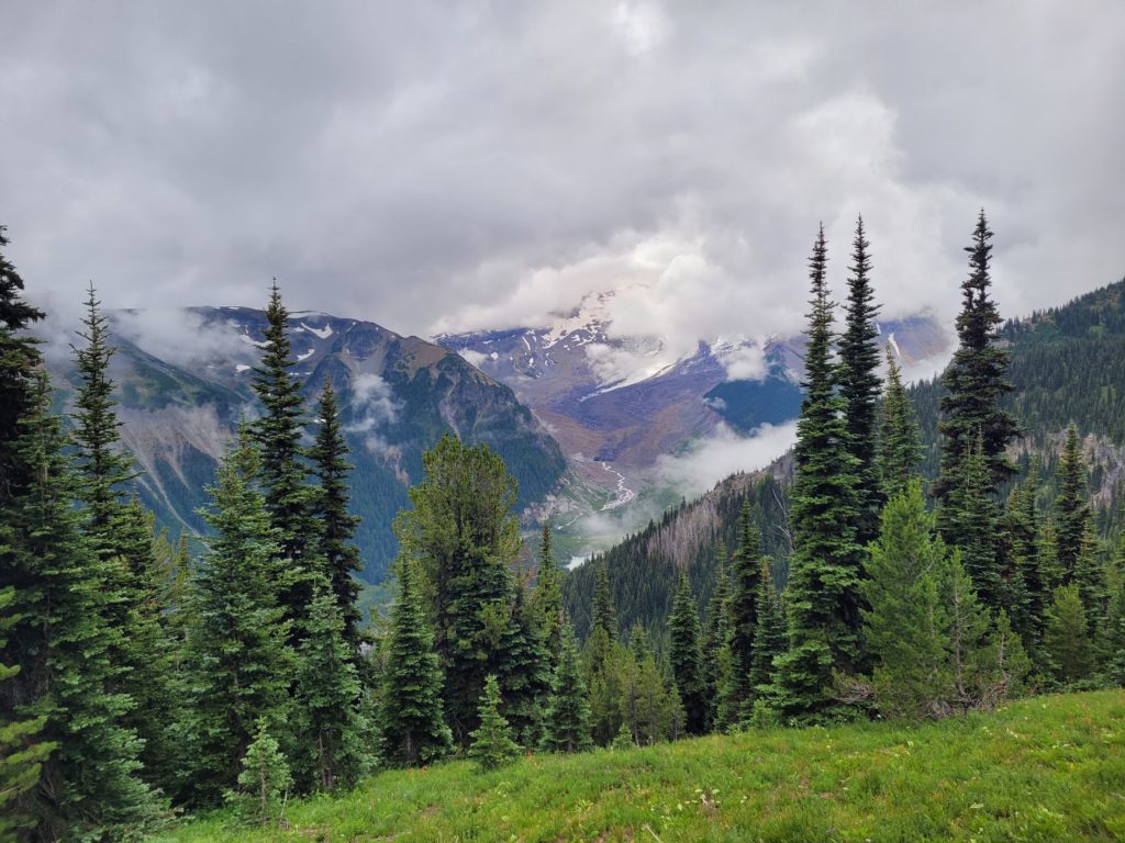
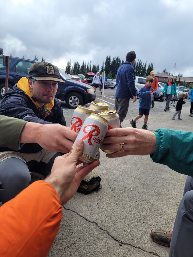
After setting up, we went for a day hike to the Sunrise Visitor Center and Gift Shop. There we found a concession stand serving tasty chili dogs, some modest resupply options, and a fridge with five varieties of beer. The bravest of our group made it a mission to drink one of each. It was totally overcast and not much going on in the way of scenic views, so we got shamelessly drunk in the gift shop.
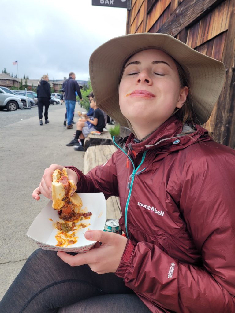
Beer Review
- Rainier (Pabst Brewing Co): Piss beer I’d put in the same tier as Miller Lite or PBR. $1.75 for a can. 4/5
- Pilsner (Talking Cedar Brewery): Over-hopped pilsner that tastes like it’s trying too hard to be a pale ale. 2.75/5
- Pacific Northwest IPA (Talking Cedar Brewing): Better than the pilsner, the hoppiness actually works. Tastes like your average west-coast IPA. 3.5/5
- Peachy Voyage Fruited Blonde (Narrows Brewing Co): If you replace every element of a blonde ale with that of a gose, this is what you get. 3.25/5
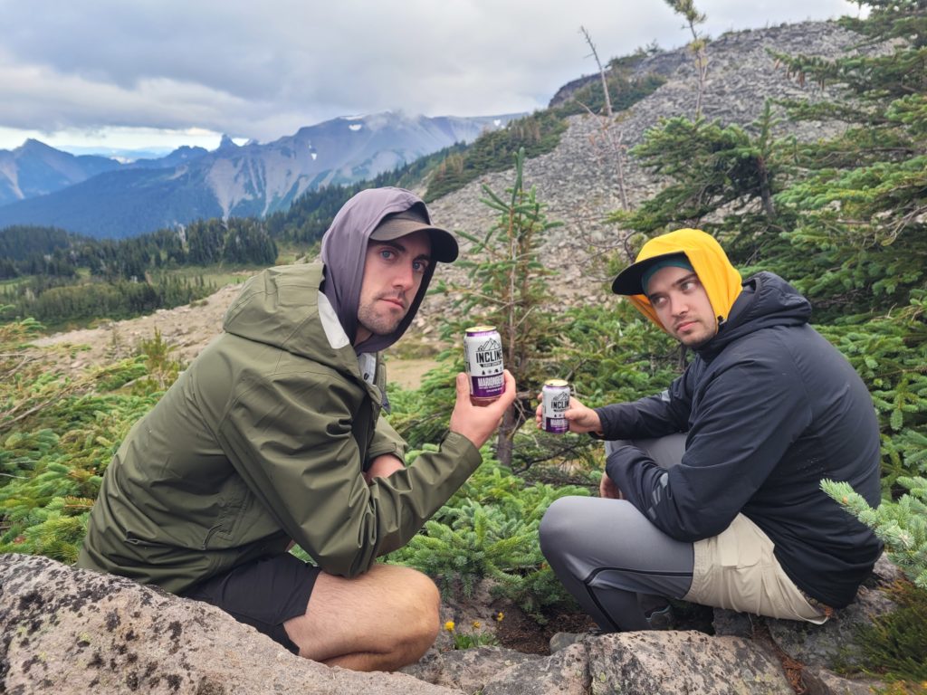
- Marionberry Cider (Incline Cider Co): Marrionberries are local to WA and we found them all over the Wonderland Trail. A bit sweet for a cider, but good flavor. 3.75/5
- **BONUS** Lucille (Georgetown Brewing Co): This is the beer Kelly gave us. She knows her beer. Solid west-coast IPA. 4.25/5
(follow @amccafferty42 on untappd for the best beer content around)
After charging up our devices and touring the visitor center, we took the long way home on Sourdough Ridge Trail. It cleared up quite a bit as the ridge walk took us past some great views of the surrounding mountains and the aptly named Frozen Lake. There were black-tailed deer snooping around camp when we returned. This is probably a boring thing to note but since I’ve only ever seen white-tailed deer, I found it interesting.
This night was by far the coldest we faced on trail. Temperatures dipped into the 30s. Amy shivered all night long despite her heavily insulated sleeping pad, 10 degree quilt, and puffy jacket. It was hard to believe it was late July.
Day 4
Sunrise to Carbon River
Distance: 12.8 miles
Elevation Gain: +2649′ -5633′
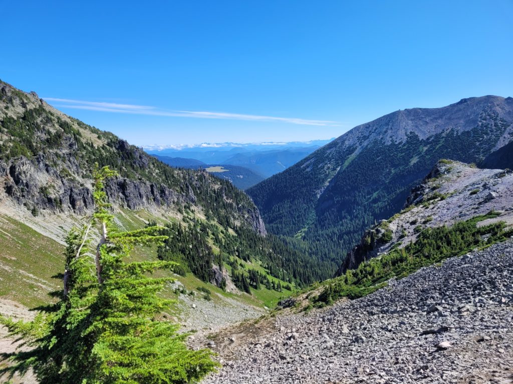
Finally back to a real day of hiking, we shook off our hangovers with a brisk climb up Skyscraper Pass. Along the way, we could see the beautiful Berkeley Park between the hills. It was a bluebird day, and as we neared the top of the pass, we were rewarded with the most stunning views of Mt. Rainier yet.
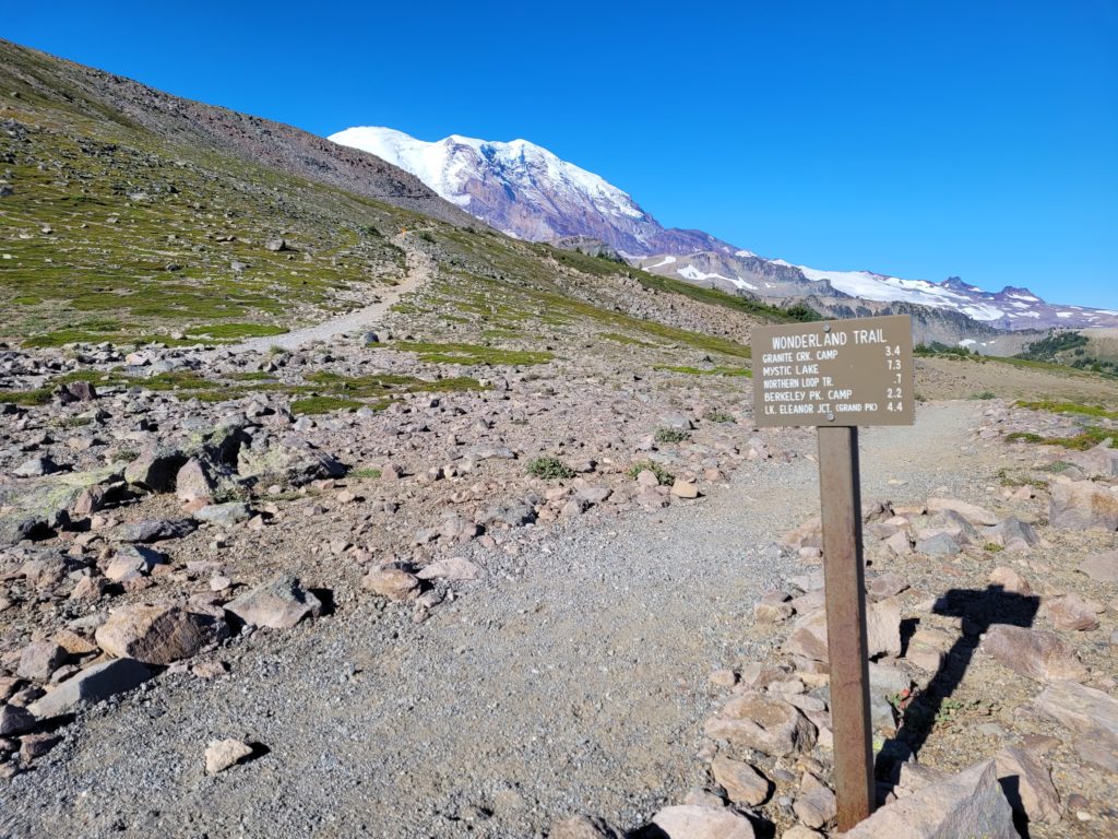
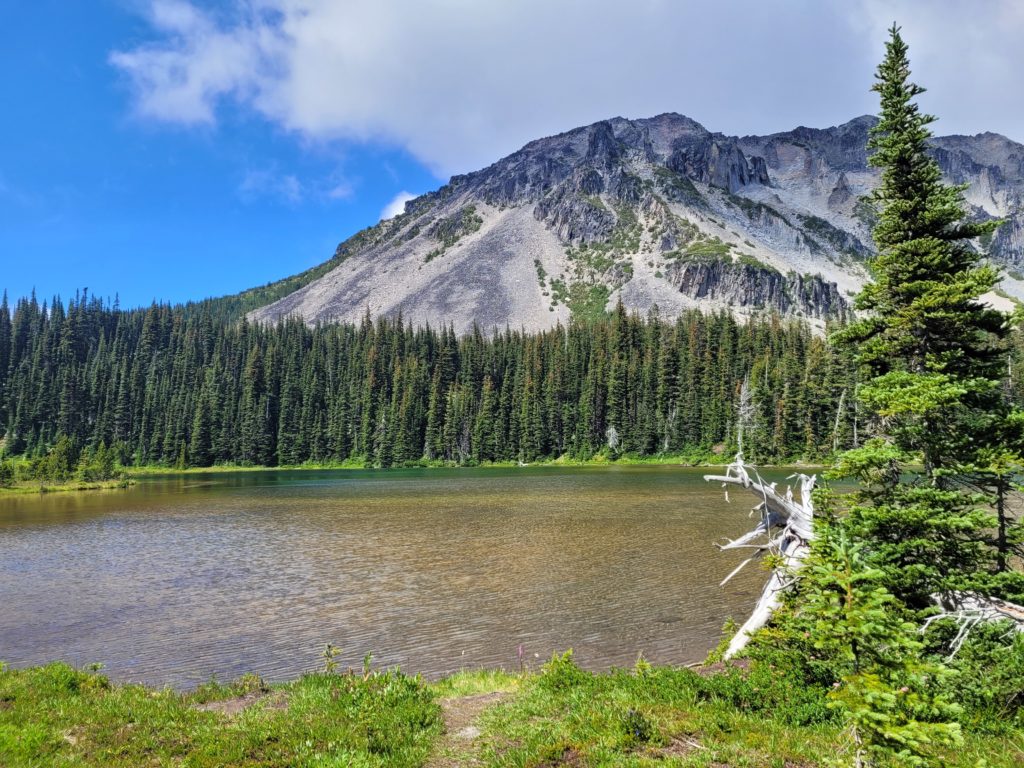
A long descent brought us past several streams and rivers that tasted like melted snow. Winthrop Creek in particular was raging. Only about a foot of clearance was the difference between the log bridge being rock solid and being totally swept away by the waters. Several miles of downhill wooded hiking led us to Mystic Lake, where we stopped for lunch.
When we first arrived, Mayflies must have just hatched. They flew around us everywhere in a loose swarm, often swooped up by a leaping fish or landing on our shirts. I learned that the Mayflies live a short, yet spectacular life. Female mayflies live for just five minutes before dying. Males can survive up to two days. They spend every moment of their lives making desperate, passionate love, and then, I presume, die happily.
We were joined by the large group we had met two nights ago at White River. One of the members, Ben, rocked sandals and a tank top. Without hesitation, he dove into the freezing lake. Not wanting to be shown up, all five of our group took turns wading into the water. It soon turned into a rowdy pool party. Another group member introduced himself as Arby’s (because he had the meats) and we learned that many of them were locals who had hiked the trail before, coming back for round 2.
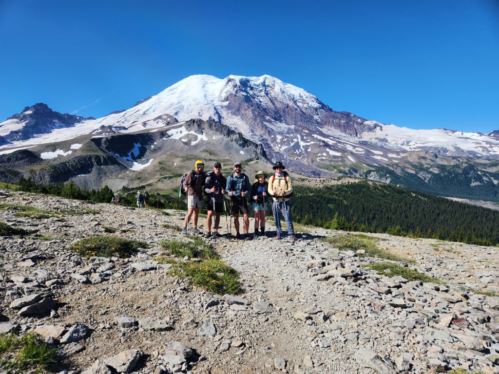
As the sun peaked, the clouds shrouded Mt. Rainier. We learned that this was a recurring theme. In the mornings, the mountain would be perfectly clear, only to slowly build up cloud coverage as the afternoon wore on. Fortunately, there were plenty of other shiny things to catch our eyes, including some beautiful mossy streams and the toe of the massive Carbon Glacier depositing into Carbon River.

Along the descent past Dick Creek, we encountered a fresh rock slide that turned the trail into comically sketchy debris. Tim and Dan started ahead and were forced to slide down the mess of loose rocks. Alex 2, Amy, and I turned around and found an alternate route through Dick Creek campsite. Before much longer, we were all rock hopping on the gravel until the trail eventually returned to familiar form near the bottom at Carbon River.
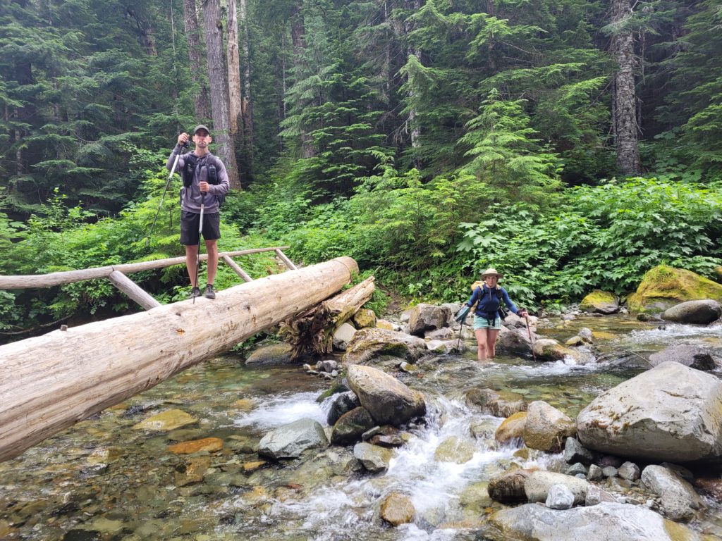
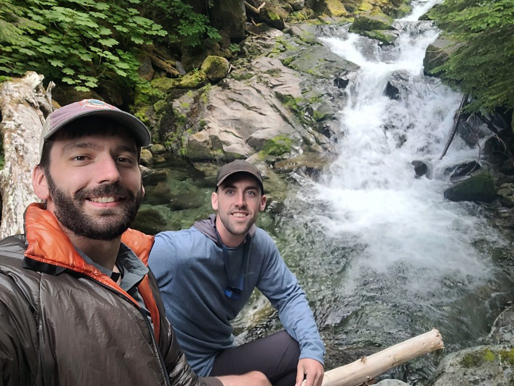
Leading across the river was a large suspension bridge in which we (unintentionally) ignored the “one person at a time” recommendation. The bridge marked the intersection with the Spray Park Trail, a section that was formerly part of the Wonderland Trail. We pulled over at the Carbon River campsite and crossed a bridge that was stuck sideways at a 45 degree angle. From there, we climbed a long hill to our campsite. Dan and I were antsy to continue exploring, so after dinner we returned to the bridge and climbed as far up the creek as we could manage. After an unreasonable amount of effort, we made it to a hidden pool maybe fifty yards upstream and relaxed on a fallen log.
Day 5
Carbon River to Eagle’s Roost
Distance: 6.7 miles
Elevation Gain: +3277′ -1733′
The Spray Park Trail is definitely not to be missed. We started our hike relatively late after 9:00am and began working our way up the steep, wooded trail. Eventually, we popped out of the trees into a grassy hillside with white, purple, and red wildflowers. Some of the white flowers were avalanche lilies, and they are apparently quite rare.
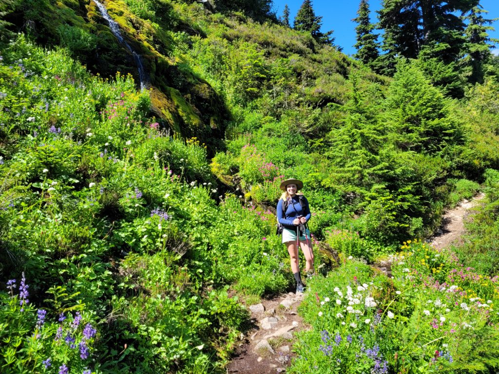
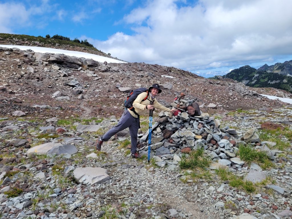
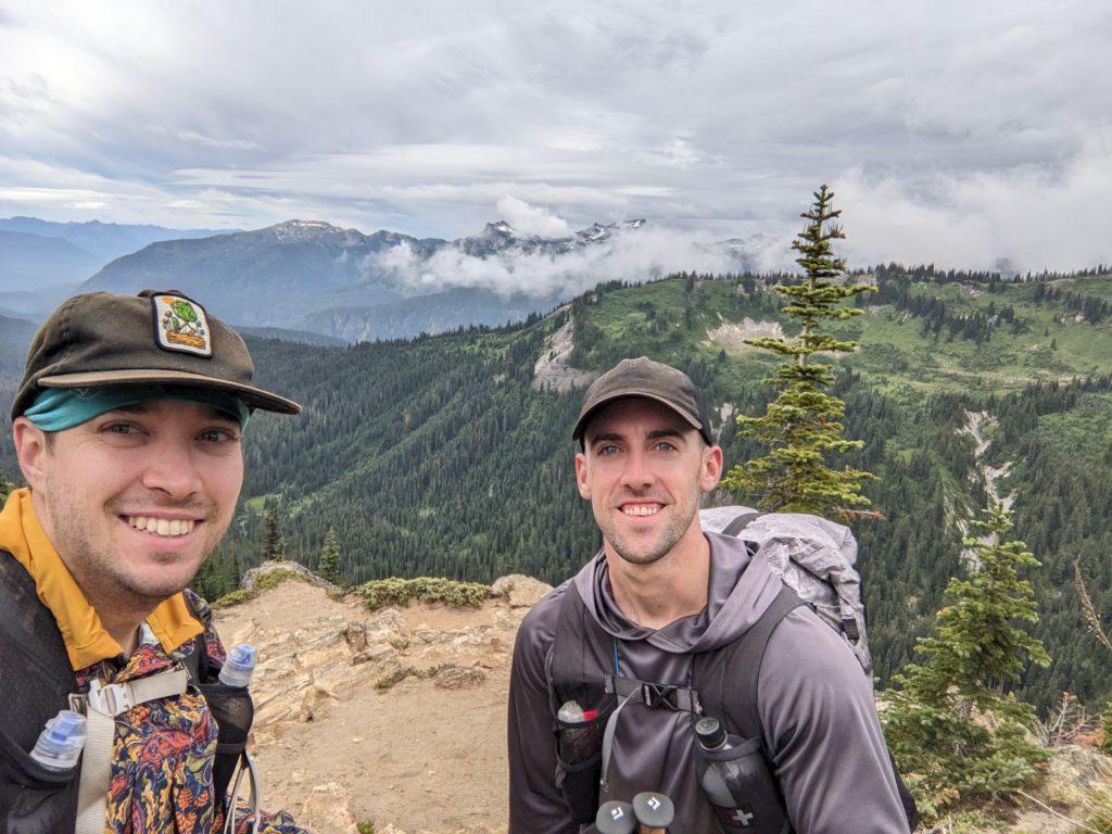
It was another clear morning, and the snow-capped summit of Mt. Rainier was clearly visible to our rear. In practically all other directions, we could see equally spectacular views of jagged mountains. Before entering the boundaries of Spray Park, we stopped for lunch on a high cliff with our new friends (we just called them “the group”). It was a contender for the best view of the entire hike!
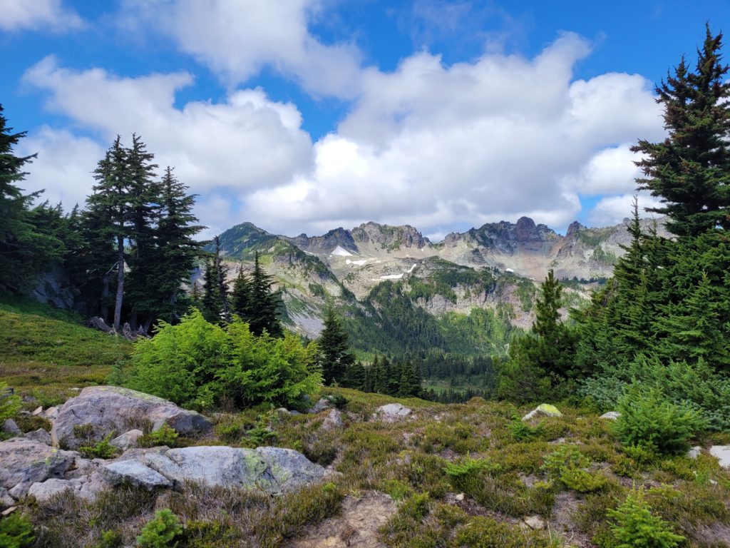
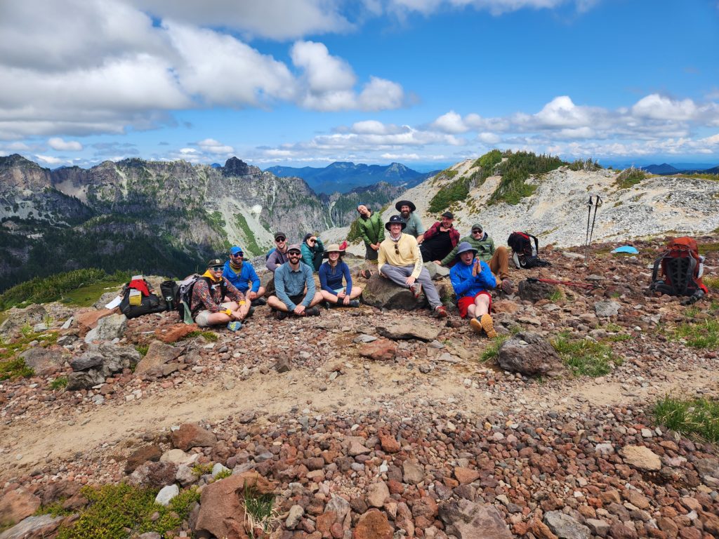
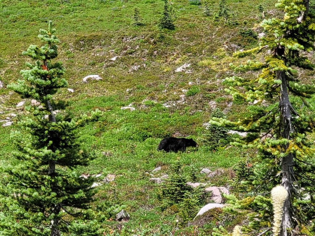
After a long break, we continued hiking into Spray Park, characterized by bright green meadows and, of course, more wildflowers. Shortly after, we came across a crowd of hikers peering over the hill. They pointed out two black bears moseying along in the shrub. One was dark black and appeared to be an adolescent. The other was cinnamon and noticeably larger. Both were a safe enough distance away for us to stand around taking photos for a while.
Our short day’s hike concluded with a downhill stretch back into the trees, with a spur trail leading us to Spray Falls. It may have been the coolest waterfall I’ve ever seen; a towering cascade of misty water tumbling a few hundred feet down andesite rock. We stayed for a minute, then decided to revisit later in the evening after making camp, since Eagle’s Roost campsite was only a short walk away. We scored a pretty cool site, with more space than we were used to and some log benches to use as a common area. Mt. Rainier was vaguely visible beyond the trees.
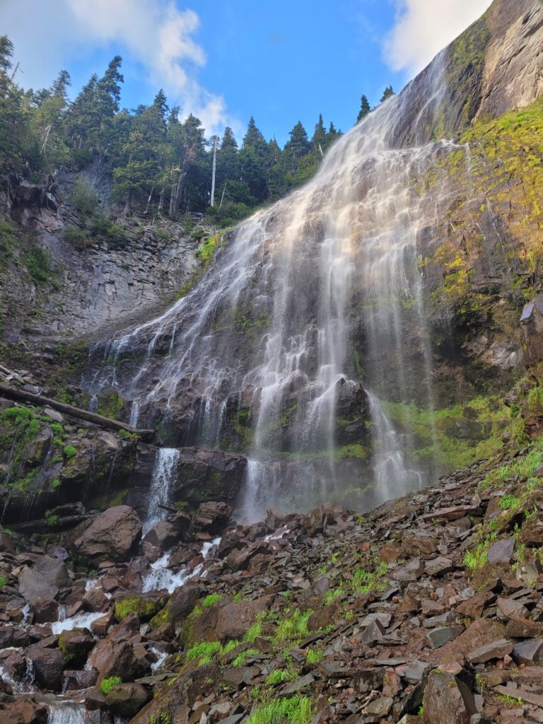
Unfortunately, Tim developed a sore throat and went to bed early. The rest of us went back to Spray Falls as the sun was setting. It was not exactly hot outside, in fact it was probably down to the 50s at this point, but Dan and I couldn’t resist a cold shower. It was like the falls were designed as God’s ideal shower head. Beautiful scenery, great water pressure, might need to repair that water heater though.
Day 6
Eagle’s Roost to Golden Lakes
Distance: 12.0 miles
Elevation Gain: +2923′ -2815′
It was resupply day! Which meant we all got to see what our stupid past-selves thought our current-selves would want to eat after hiking five days straight. First, we stopped at Eagle’s Roost for a fabulous view of the mountain. Mowich Lake was only about a mile past where the Spray Park Trail ended at the intersection with the Wonderland Trail. The caches were stored in metal bins behind the ranger station, which was a short ways along Mowich Lake. In addition to the food we sent ourselves, there was a hiker box with a variety of stale garbage. Amy and I did, however, manage to score a package of Patagonia black bean soup mix.
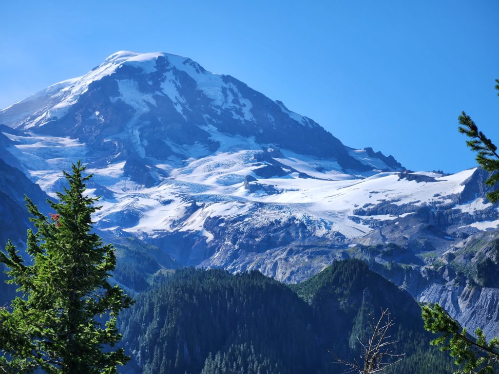
It was too early to want to swim in the lake, so we simply packed up our food, dropped our empty buckets by the garbage cans, and set off. The scenery today was the least impressive of the trail, in my opinion. Still, it is never a bad time strolling through giant Douglas firs playing “would you rather?” with the crew.
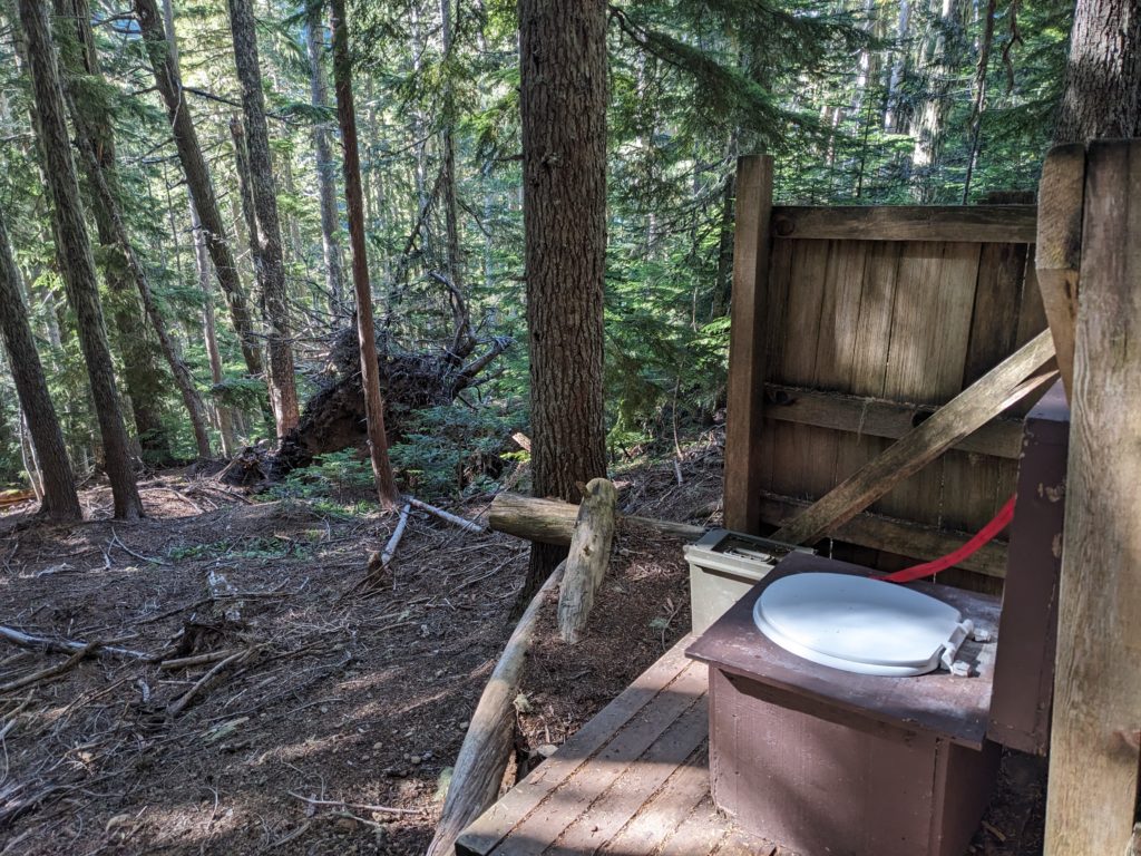
After a long day of stubborn ups and downs, we crossed a short boardwalk leading to our campsite. An old cabin was built on the shore of the largest of the Golden Lakes, which made for a nice spot to do our evening cooking. Our particular campsite was tucked away up a nearby hill, and was arguably the most cramped of the week.
Two of the campsites (which were already claimed when we arrived) had incredible views of the lesser Golden Lakes, as well as Mt. Rainier to the east. Way in the distance, you could make out the Olympic Mountains and even see the dim reflection of Puget Sound. It made for an unforgettable sunset. We spent the rest of the evening sitting on a boulder on the shore of the lake, listening to the sounds of the wild, hanging out, and chatting with other campers as they came to fill up water.
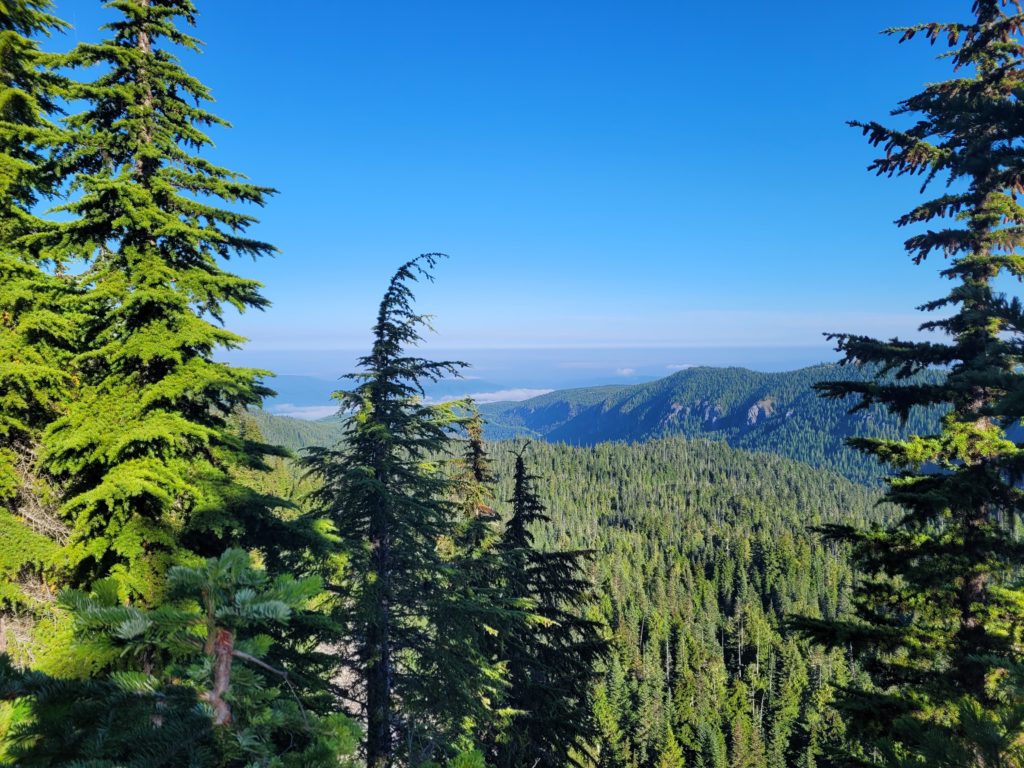
Day 7
Golden Lakes to Devil’s Dream
Distance: 18.2 miles
Elevation Gain: +5846′ -5848′
After a 9:00am start, we hiked an easy five miles to North Puyallup River (a name I never once managed to say confidently). We took a break on what Arby’s had explained to be the remains of a planned parking lot. At some point, the park service had planned to build a road around the entire mountain, but the cost was deemed too high and the project was abandoned (thank God).
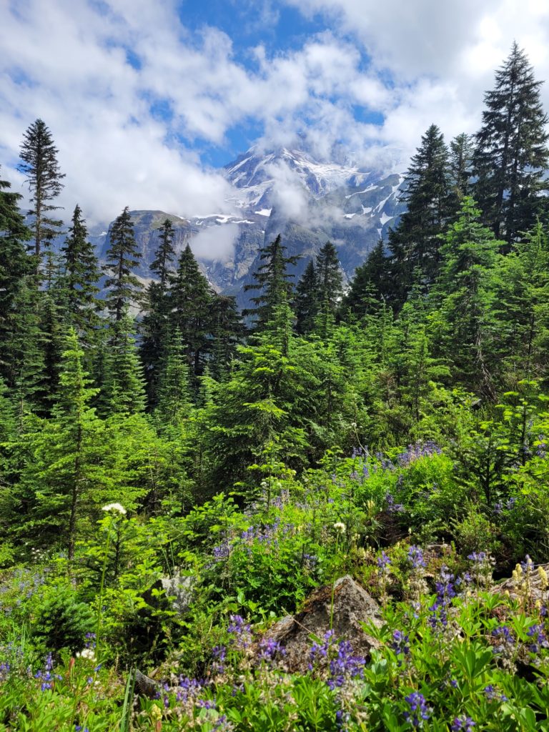
Afterwards, we climbed a hill to Klapatche Park, a wide open field with jaw-dropping view of Mt. Rainier. The turbulent clouds swirled around her summit, so it seemed every time we turned around we had a different view of the mountain. Next, we stumbled upon the gorgeous Saint Andrews Lake. It was one of the coldest swims yet, but it may have also been the most scenic.
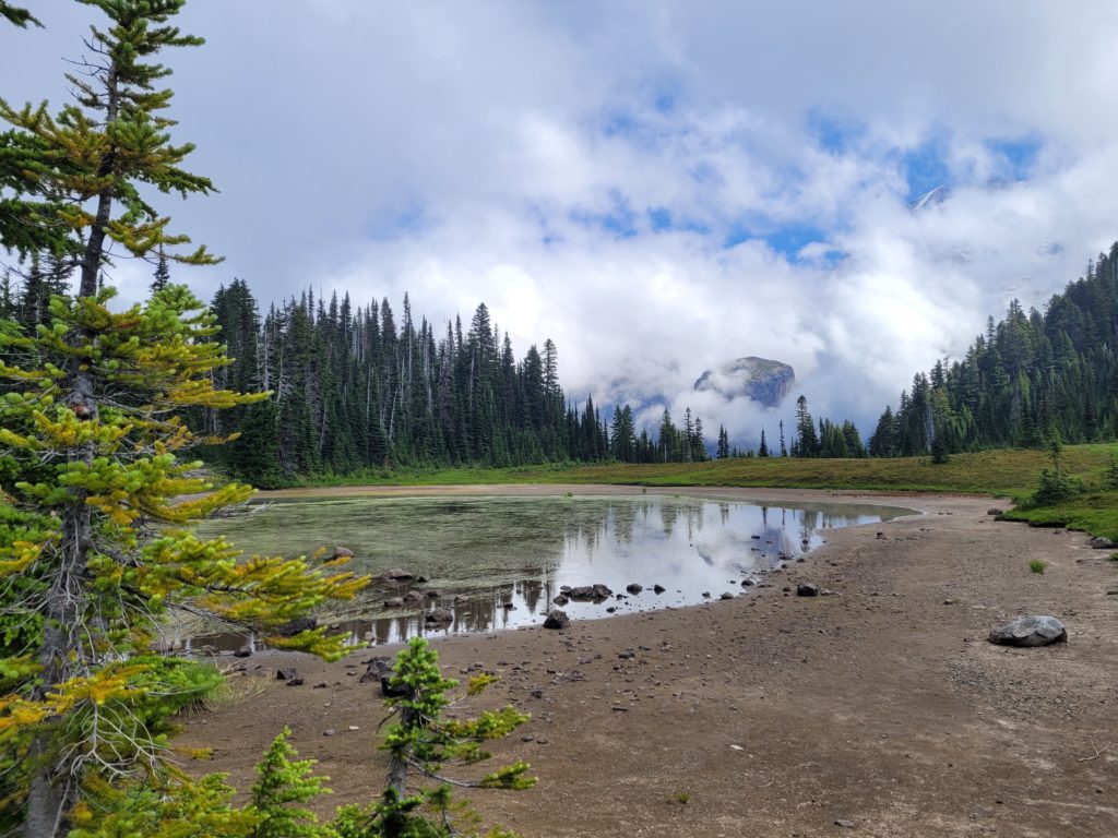
There were several groups already enjoying the wonderful alpine waters. Two women hiking together told us that one of them had injured her knee and were hoping to shorten their day of hiking. Since we were growing eager to complete our journey, Amy jokingly offered to swap campsites with them. Then, we realized that was actually a great idea. They would cut it short at South Puyallup River, we would trek on an additional seven miles to Devil’s Dream and finish earlier tomorrow. Win-win.
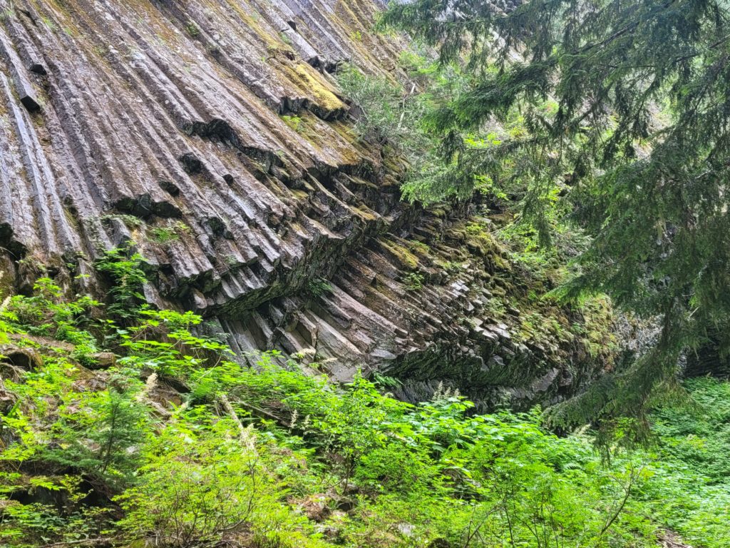
We dried ourselves off and cruised downhill to South Puyallup River. My body told me it was privy time, so I threw my pack down and hurried into the campsite, following signs that said “Toilet 600ft”. 600ft is a deceivingly long distance when you gotta go, but the trek took me past some ridiculous geometric rock formations.
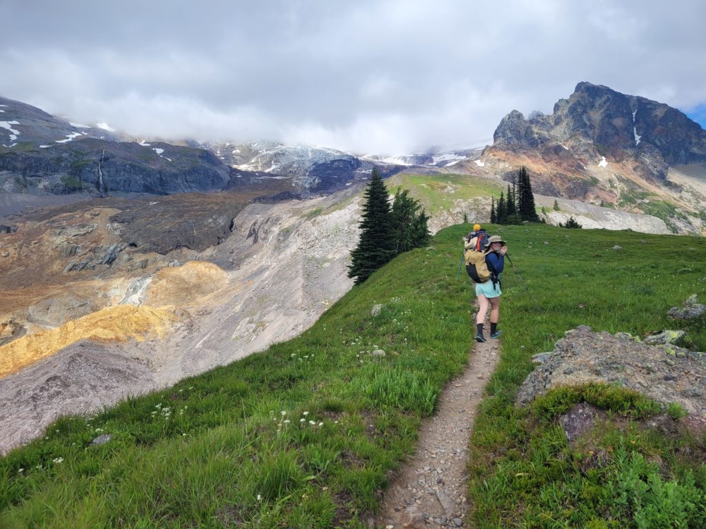
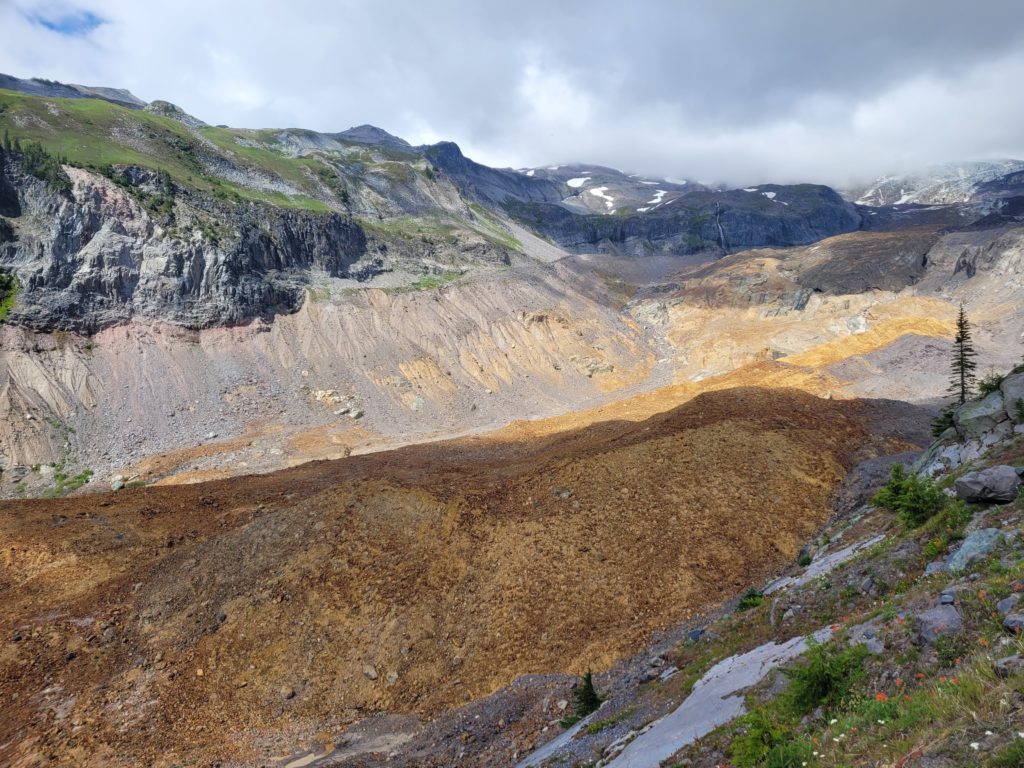
It ended up being a great decision to switch campsites, as we had perfectly clear weather for the rest of the day for what was undoubtedly one of the most scenic days of hiking I have ever done. Beyond the campsite, we made a spectacular climb to the Emerald Ridge, which offered views of the rusty orange Tahoma Glacier and the Puyallup Cleaver. For miles, we hiked on the exposed ridge overlooking a MacOS background.
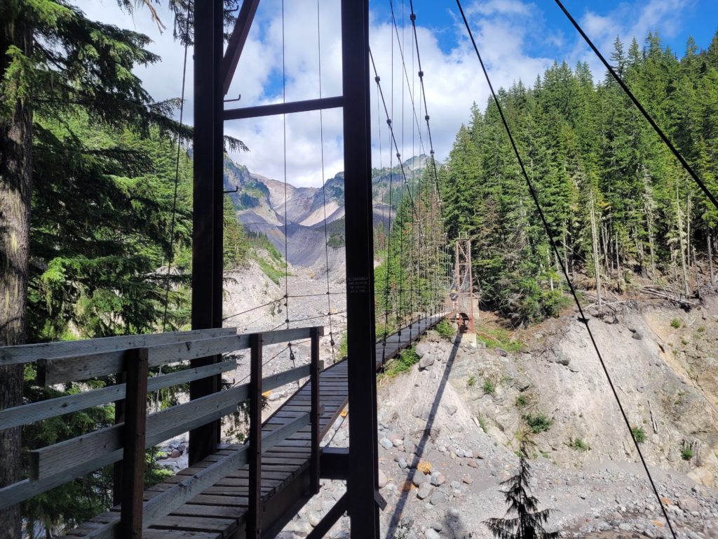
We then declined to a suspension bridge over Tahoma Creek, over 150′ long and 200′ high! This time obeying the “one person at a time” recommendation, mainly because it wobbled quite a bit in the center. At length, we arrived in yet another beautiful meadow with a bubbling stream to fill up water. It was getting late in the day and we decided our best bet was eating dinner on trail, since Devil’s Dream had a bad reputation for mosquitos anyway.
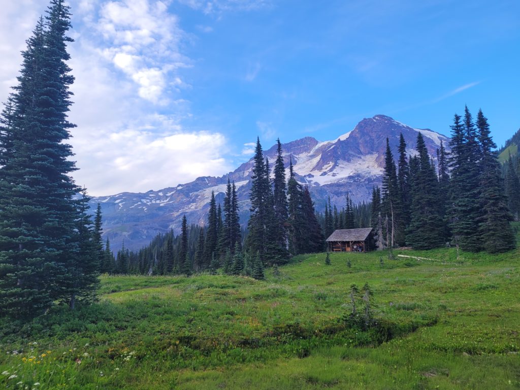
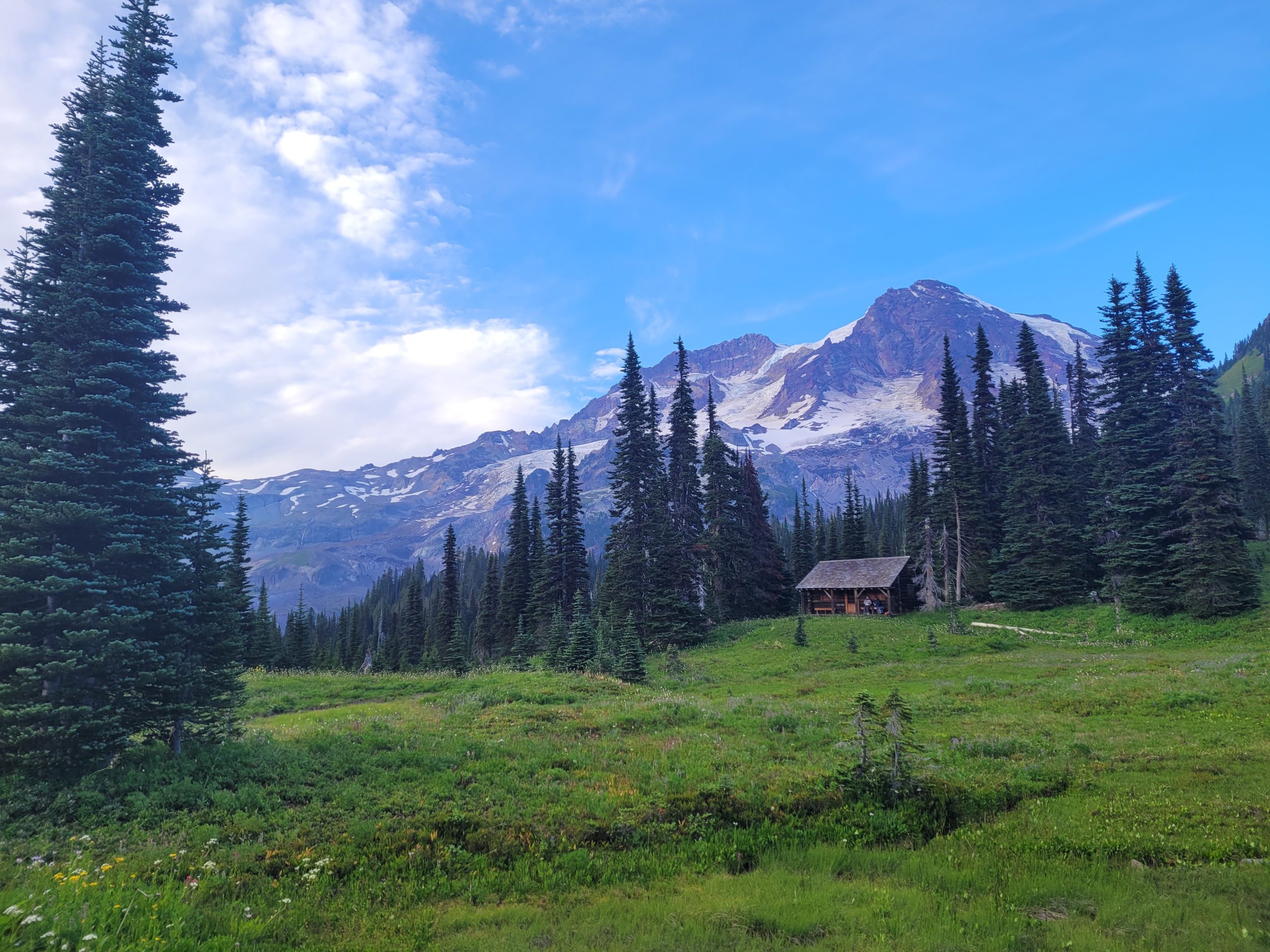
Dan decided that 18 miles of hiking was not enough and left to go on a day hike to Mirror Lakes, where he was ambushed by a protective grouse momma. The rest of us relaxed by Indian Henry’s Patrol Cabin. The epic backdrop of Mt. Rainier was simply breathtaking. A hot meal of rehydrated beans and rice never tasted so good.
After Dan returned and slurped up his noodles, we knocked out the final two miles to Devil’s Dream. We took the first campsite we came across, set up our tents, and formed a symphony of snores by 9:00pm.
Day 8
Devil’s Dream to Longmire
Distance: 5.5 miles
Elevation Gain: +377′ -2544′
Our alarms were set for 5:45am, a questionably early hour we came to regret later in the day. Like most hike-out days on backpacking trips, there is not a whole lot to cover. Everyone felt like a dirt ball, smelled like a diaper, and looked like a hobo. At a blistering pace we set off down the trail, all downhill, only five miles remaining to reach our 4Runner. Arby’s was solo hiking away from his group and we caught up with him. He then proceeded to tell a horrific story about the history of his hometown, Enumclaw, WA (don’t Google it).
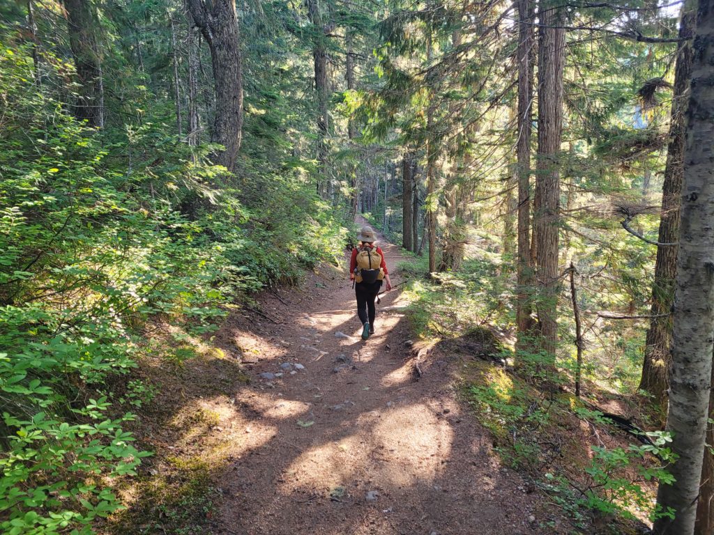
By 8:00am we reached Longmire and completed our hike! Since we had started so early, we were not particularly hungry for lunch yet, so the first priority was showering. Our flights were scheduled to leave later that evening. Though it wouldn’t bother me too much, it seemed a cruel and unusual fate for some poor souls to get stuck next to us on the plane if we didn’t bathe beforehand.
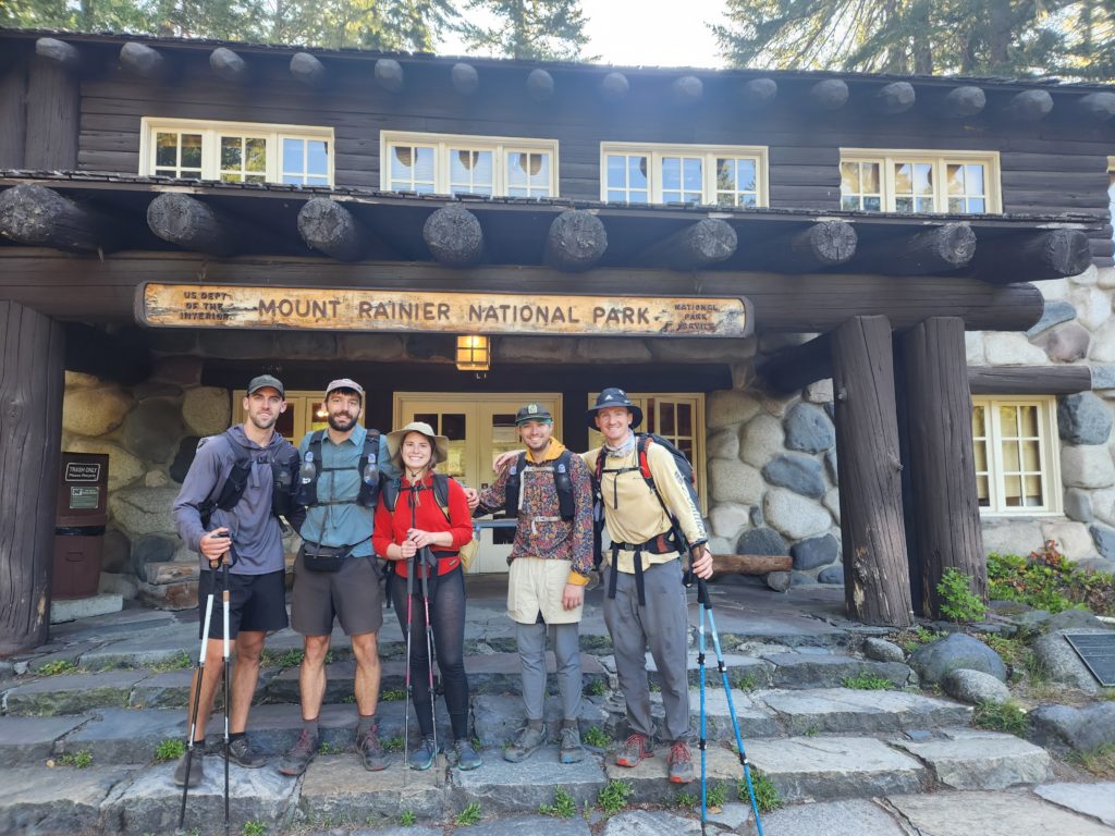
I went to the National Park Inn to ask the lady at the desk if we could pay a couple bucks for a shower. She essentially told me no, but go upstairs confidently and there are showers accessible from the hallway we could use. Just make sure we are done by 9:00am before her manager comes in. It was 8:40am. Off to the races, we grabbed our bags and took hasty showers with Dr. Bronner’s soap and no bath towels to dry off. Soaking wet, but clean and deodorized, we bought some coffee for the road, and drove off towards Seattle.
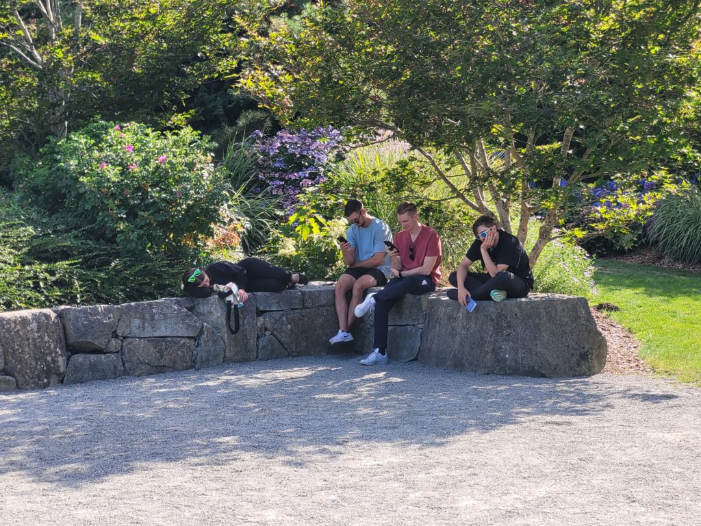
We stopped for a juicy cheeseburger at Roadhouse Bar and Grill in Puyallup, WA (R.I.P. Team Italian). Alex VR regrettably flew stand-by, so we were exactly unsure when we needed to be at the airport. Eventually he determined his best option was leaving around 9:00pm with the rest of us. We killed more time by stopping for meat sticks at B&E Meats, ice cream at The Creamy Cone, and beers at our new favorite spot, Georgetown Brewing. We also explored a Japanese style park called Kabota Garden. The day was a bit chaotic and not nearly as nice as sitting in a hottub. Lesson learned, taking a redeye after a backpacking trip is a big no.
That’s it. Thanks for reading.
This is Nutz, signing off.
Stay dirty.

I enjoyed your whole trip write up. I am Tim’s Nana in Granby, CT.. Tim’s Father did this trip a few years ago and saw this gorgeous scenery. Thank you for adding info on how you cooked and set up your tents. Thank you, Nana Johanna