Trip Report
Since I found myself unemployed a month before flying out west to attempt the PCT, I had some time on my hands for a backpacking trip. Unfortunately, Amy couldn’t swing it, as she was apparently the bread winner now and had to work for another two weeks. However, Tim and his dad Chris were game for an adventure. We chose to thru-hike the Standing Stone Trail, a trail that had been sitting on my “want to hike” list for far too long.
Where: Standing Stone Trail, NoBo through central Pennsylvania
When: 3/15 – 3/20
Distance: 84 miles
Conditions: upper 20s to 70s, chilly and overcast
Pre-Trip Information
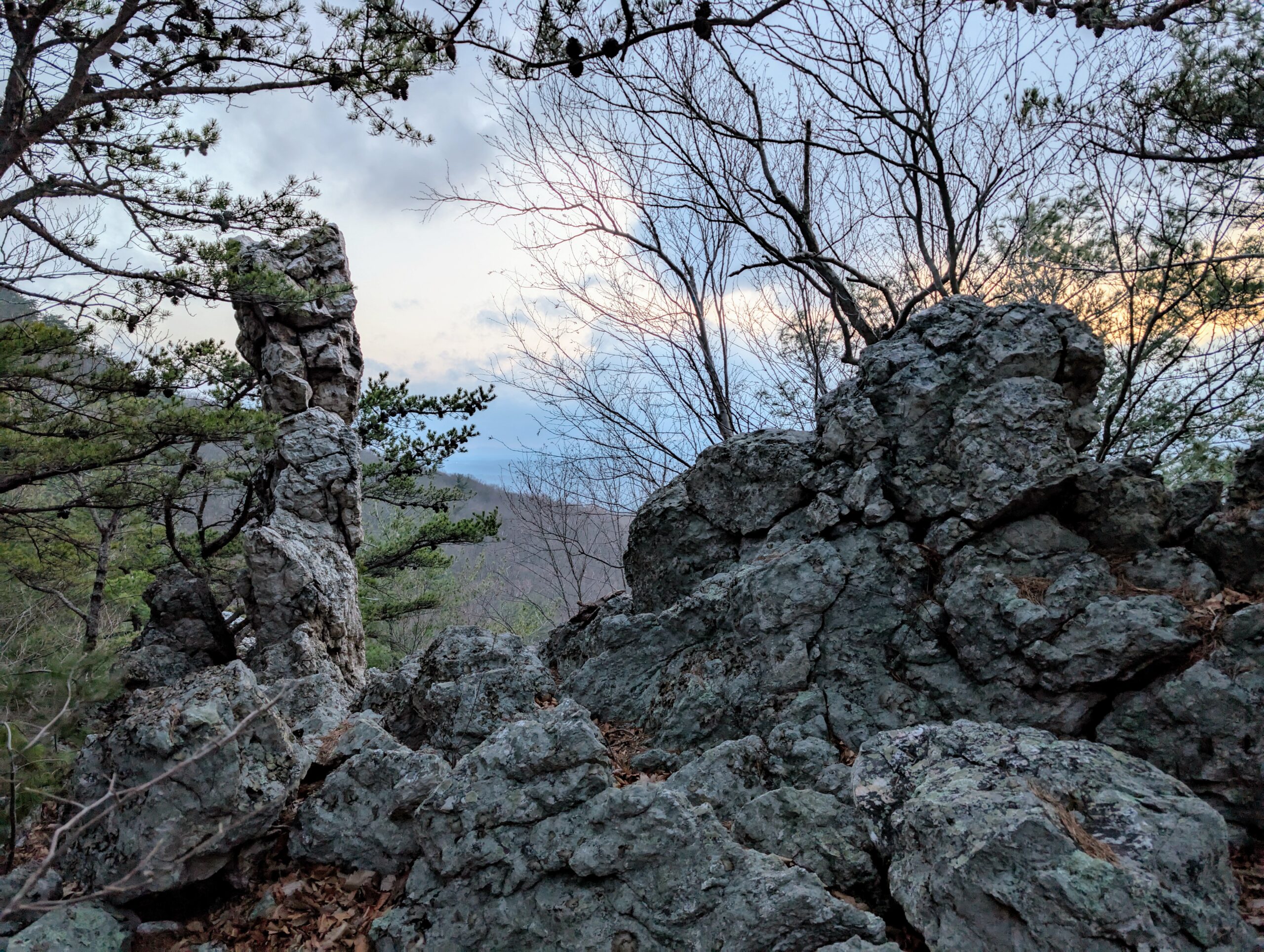
The Standing Stone Trail (SST) was formerly known as the Link Trail, connecting the Mid State Trail and Tuscarora Trail. It traverses the underbelly of south-central Pennsylvania, highlighting rugged ridges overlooking endless farmland. It also showcases two quaint towns along the route that offer a glimpse into rural America and make the trail feel more like a proper thru-hike.
Gear
A pretty standard three season load out is sufficient for this trail. If you are hiking during the fringe seasons, definitely err on the side of caution and bring additional layers. I used a poncho for rain protection, a fleece + puffy + wind jacket/pants for warmth, and a 20 degree quilt. I will cover some of the “new” gear that I experimented with below.
I was sorely missing having a dedicated sit pad on my last hike and decided to carry a Gossamer Gear Thinlite 1/8″ foam pad on top of my pack. In addition to be a standard sitpad, it can also be extended into a full length mat for laying down. It can add extra insulation under my inflatable sleeping pad or be inserted under my rib cage when I side sleep for more support. It is super lightweight and quickly became a personal favorite.

I finally had a chance to field test my PadPal v5.3 sleeping pad pump that weighs a paltry 9g. The inventor of this gadget should be in the same conversation as DaVinci and the Wright brothers. It worked perfectly and only takes 10-15 seconds to inflate my (large size) sleeping pad. The energy it consumed from my battery was negligible. A massive W from one of the most unique pieces of gear I’ve ever used.
I had good success using a DCF wallet and stake bag that I stitched together from the fabric of my old backpack. The wallet is simple and convenient. The stake bag prevents my trowel and stakes from ripping my backpack and makes it easier to retrieve everything when I pitch my tent.
I used a few new pieces of clothing. First was a Tilley AirFlo Cap that worked as a hat should (not that there was much sunlight to test it). Instead of trying out my Altra Lone Peak 9+ shoes, I decided to give my old pair of Lone Peak 7s one last burn before being canned. I had at least one good opportunity to use my MLD Event rain mitts and was thoroughly impressed by the warmth they provided during a cold rain.
I experimented with “Expedition Mode” on my Garmin Instinct 2X watch, which is why there are fewer details on the GPS route and no daily stats. This mode is ultra-conservative with battery, designed for long expeditions where you won’t be able to charge the watch easily. I had the watch set to record a single GPS point every fifteen minutes. This means that quite a bit of the route was not accurately tracked (i.e. a hill with switchbacks with only two points at the bottom and top). While this was extremely efficient for the battery, I think I would much rather have the additional data and probably won’t use “Expedition Mode” for a backpacking trip again.
Permits
No permits are needed to hike the Standing Stone Trail.
Water
The SST tends to follow dry ridgelines before descending to abundant water in the woods below. In March, there were significantly more water sources than indicated by our FarOut guide. However, I would still say that water is less common on this trail than you might expect in Pennsylvania. Our longest water carry was around 8-10 miles before reaching Greenwood Furnace State Park (NoBo). The road walking near Three Springs, PA had plenty of streams, but much was through farmland and we were advised to avoid them due to agricultural runoff.
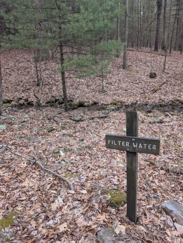
Less common water sources on the trail included a faucet at Greenwood Furnace State Park and the Spring Creek Diner in Three Springs, PA. We were unable to find reliable water in Mapleton, PA, not wanting to fill from the polluted Juniata River and not finding a single public restroom. However, we may have had luck asking the kind folks at the Original Italian Pizza shop to fill our bottles if we had remembered.
Transportation
The SST is located just south of State College, PA, making it a reasonable drive for anybody coming from the Pittsburgh or Philly metro areas. We chose to do a two-car shuffle, meeting Tim and Chris at an unmarked parking lot near the northern terminus of the trail, where they left a car and drove with me to Cowan’s Gap State Park. The drive to Cowan’s Gap State Park took over an hour, however we managed to complete the whole car setup from Pittsburgh in less than five hours.
To my knowledge, there is no commercial shuttle service running between the two ends of the trail and I imagine using ride share apps would be difficult or impossible.
Day 1
Cowan’s Gap State Park to Dispersed Campsite
Distance: 13.5 miles
Elevation Gain: +2509′
The lake at Cowan’s Gap was shrouded with fog and marked the start of our 80 mile trek heading northbound. It was just after noon by the time we got started. Aside from the poor visibility, it was also much colder than expected. Following a streak of 70° days in the city, the temperature hung in the 40°s and was accompanied by a bitter wind.

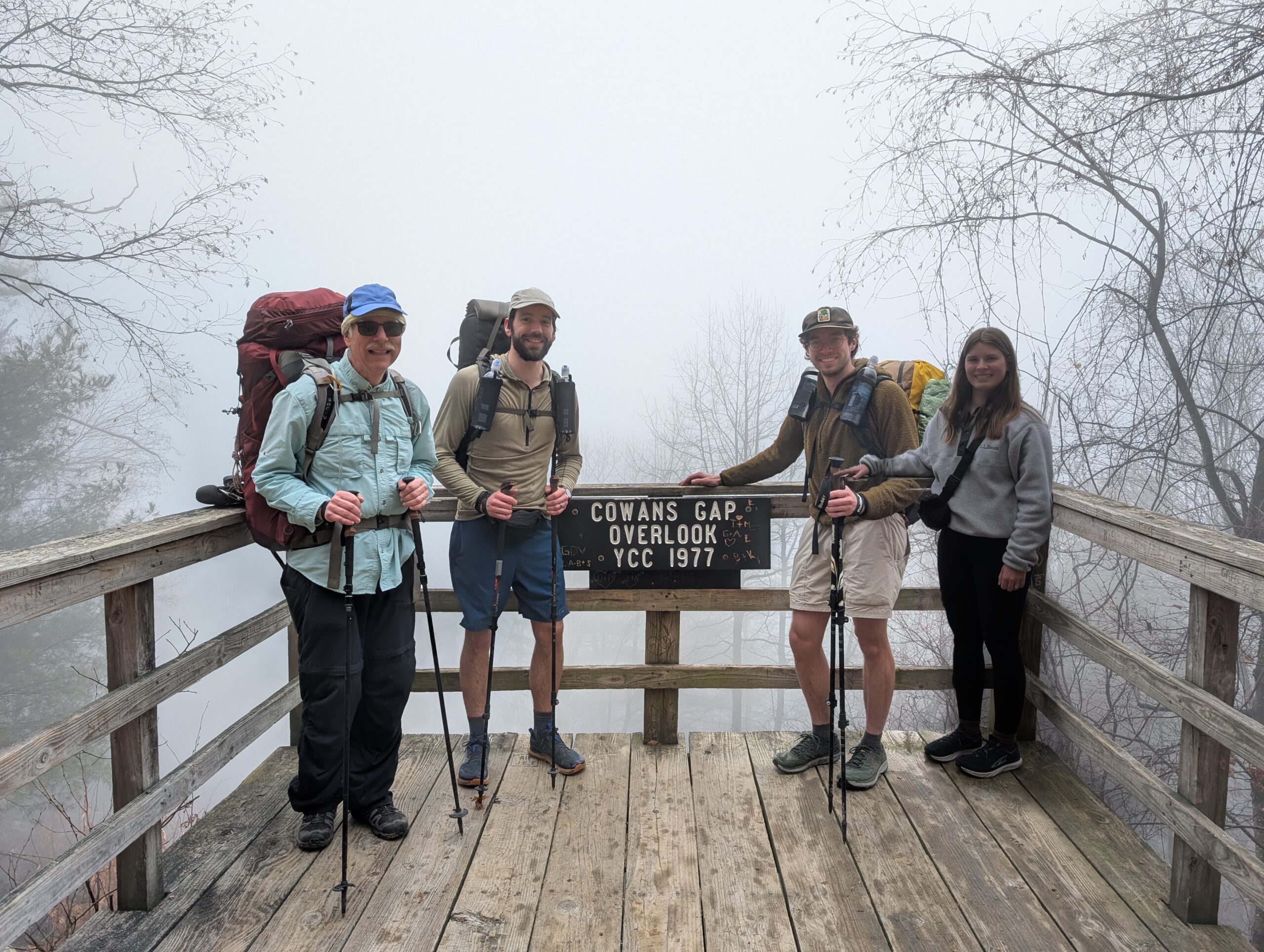
Amy was not able to commit to doing the full hike with the rest of us, as she was working the following week, but she happily followed Tim, Chris, and me to the top of the first ridge. Along the way we passed a defunct incinerator before coming to an absolutely jaw-dropping view of Cowan’s Gap Lake. We used Google Pixel’s “Add Me” feature for a group photo, which resulted in a crude photoshop that seemed appropriate for the view.
With that, Amy said goodbye and hiked back to the car whilst the three of us continued north. The ridgeline was littered with rocks that grew increasingly slick as it started to drizzle. We tip-toed along for a few miles before stopping for a 1:30pm lunch. My hands were freezing and losing circulation, so I threw on my rain mitts, which were quite effective in the conditions.
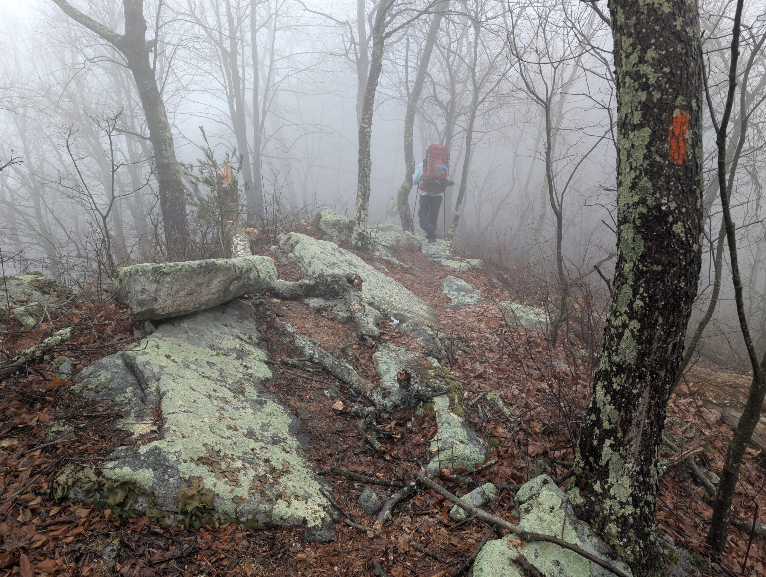
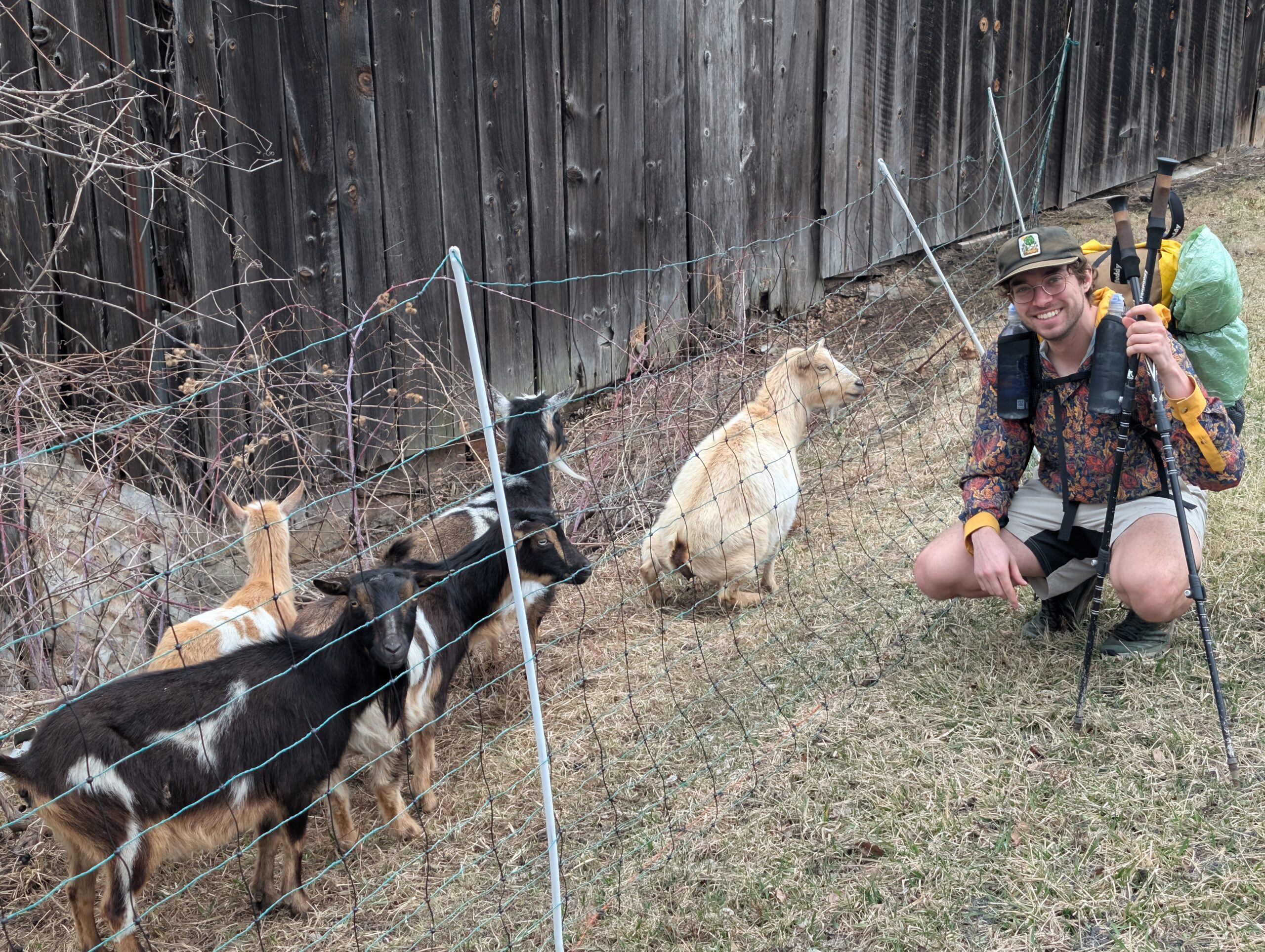
The trail stuck to the ridge for five miles or so before descending to Ninemile Run. We filtered our first water of the hike from the ice cold stream. While we had originally planned a short day to start, we still had a good bit of daylight remaining and decided to hike on past the first campsite opportunity. The trail brought us to Vanderbilt’s Folly, a failed railroad attempt by the big man himself, then turned off into some goat pastures that required hurdling two stiles.
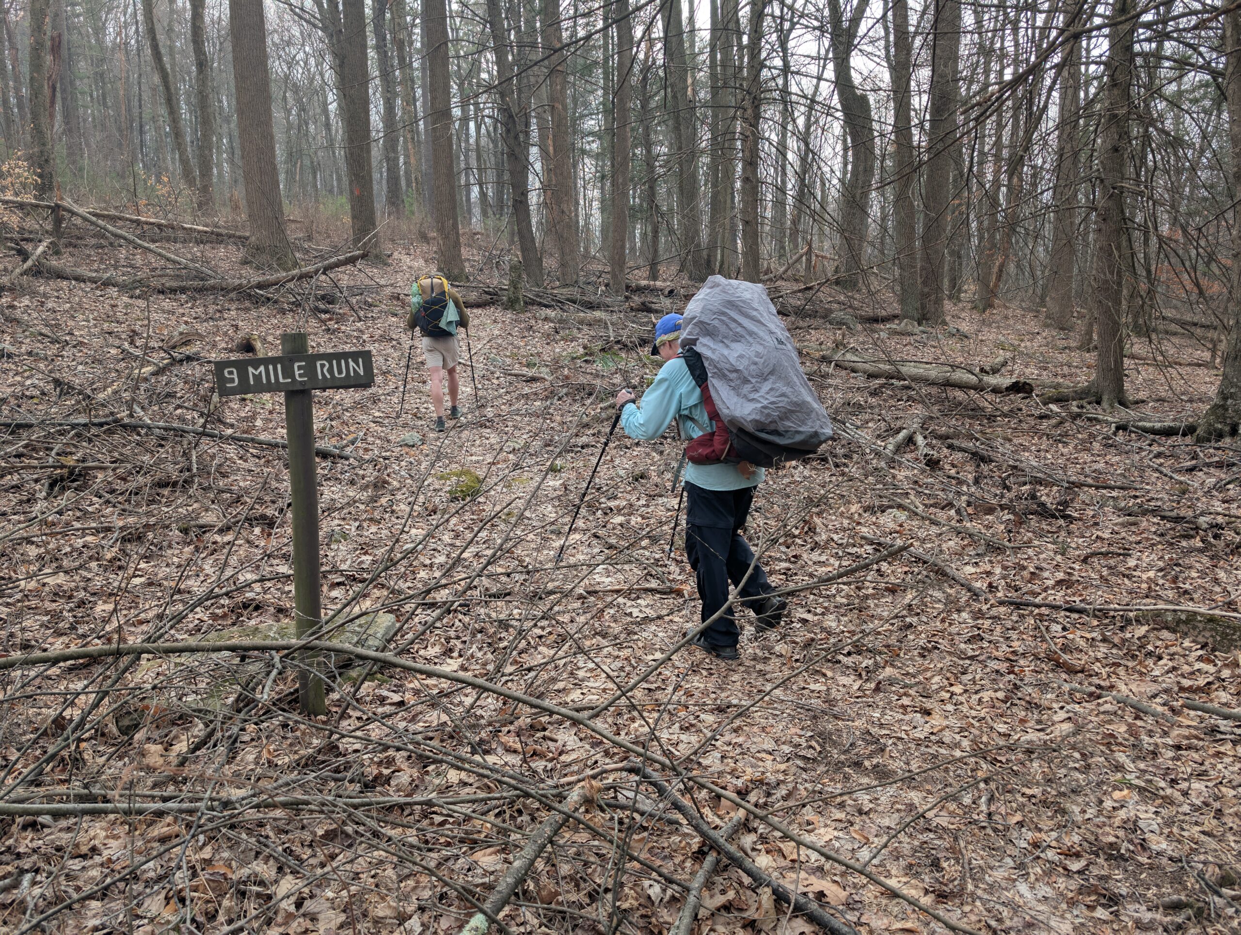
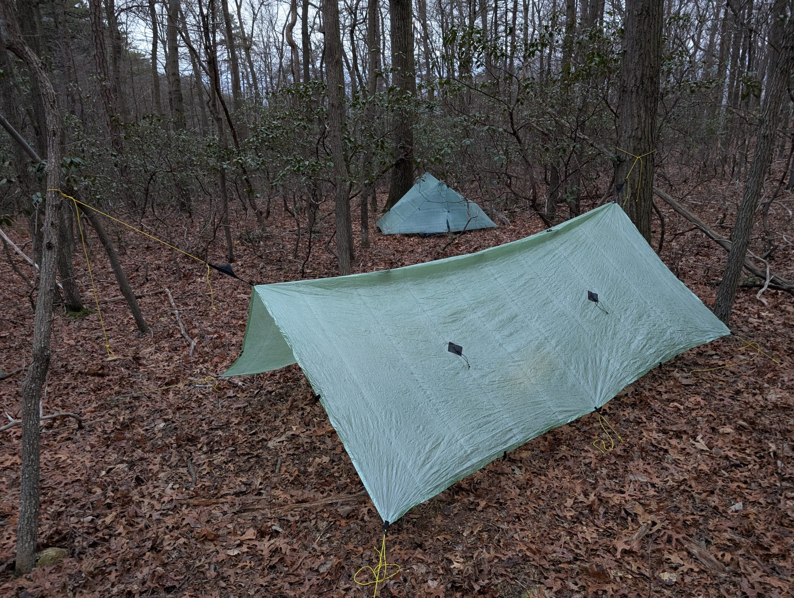
Another four mile push brought us most of the way up Blacklog Mountain. The sun was setting now and we aimed to make camp along the following ridge. There was a short side trail leading to Monument Rock. We tagged it and caught a glimpse of the hazy PA countryside at dusk. After this, we hurried along the trail to find a suitable campsite outside of State Game land before darkness fully settled.
Day 2
Dispersed Campsite to Butler Knob Shelter
Distance: 20.5 miles
Elevation Gain: +2,959′
Tim woke me up by shaking my tent and telling me it was 10:00 (it was 8:00). I packed up and emerged for a quick PopTart breakfast before we hit the trail. Our hike began with a ridge walk similar to the previous day’s; we navigated lichen covered rocks and struggled to pick out the trail amongst the mass of fallen leaves. It was cloudy and the skies threatened storms that held off through the afternoon.
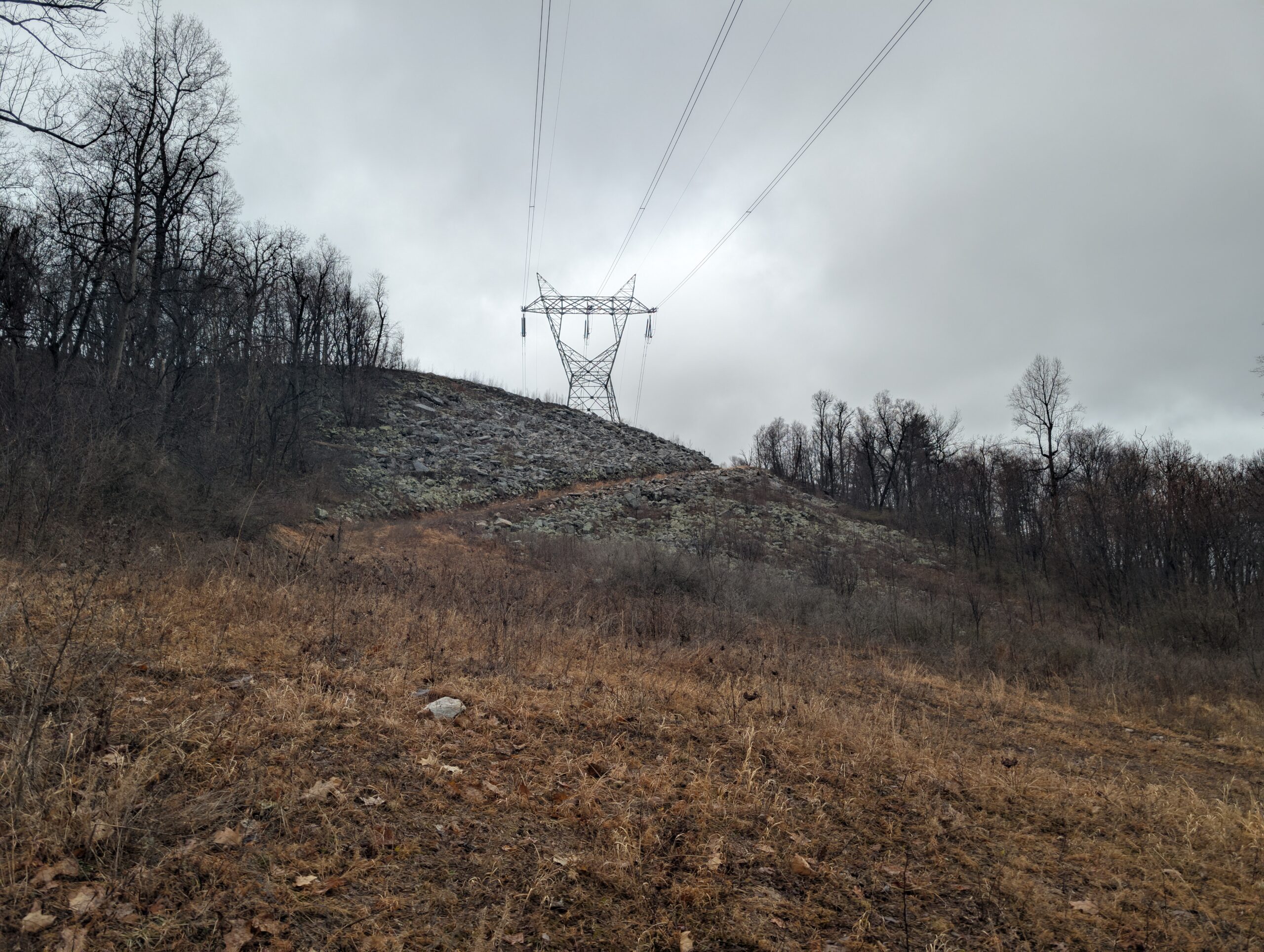
The theme for this section of the SST was road walking. After four miles along the ridge, we descended for a mile or two across broad switchbacks, popping in and out of powerline clearings. We reached Locke Valley Rd and began a road walk that would continue for over ten miles. The first five of which were along a narrow shoulder through the village of Meadow Gap and largely uneventful.
At length, we reached the town of Three Springs. The Spring Creek Diner was open, and we happily indulged in some delicious peanut butter pie. We sat outside at some tables, planning our next move. We had already covered over ten miles on the day, but did not have another good camping opportunity for another ten. A lady picking up takeout warned us to stay put though, because “multiple tornado warnings” were being issued. The darkening skies confirmed that a storm was imminent.

The small town did not boast a single lodging option, so we had little choice but to hike on. After another mile cutting through town, we turned up a gravel road. Here, the skies opened up rather abruptly. We completed the two mile climb in the pouring rain as thunder roared nearby. Fortunately, the worst of the severe weather missed us, but we found ourselves in our rain gear for the remainder of the hike today.
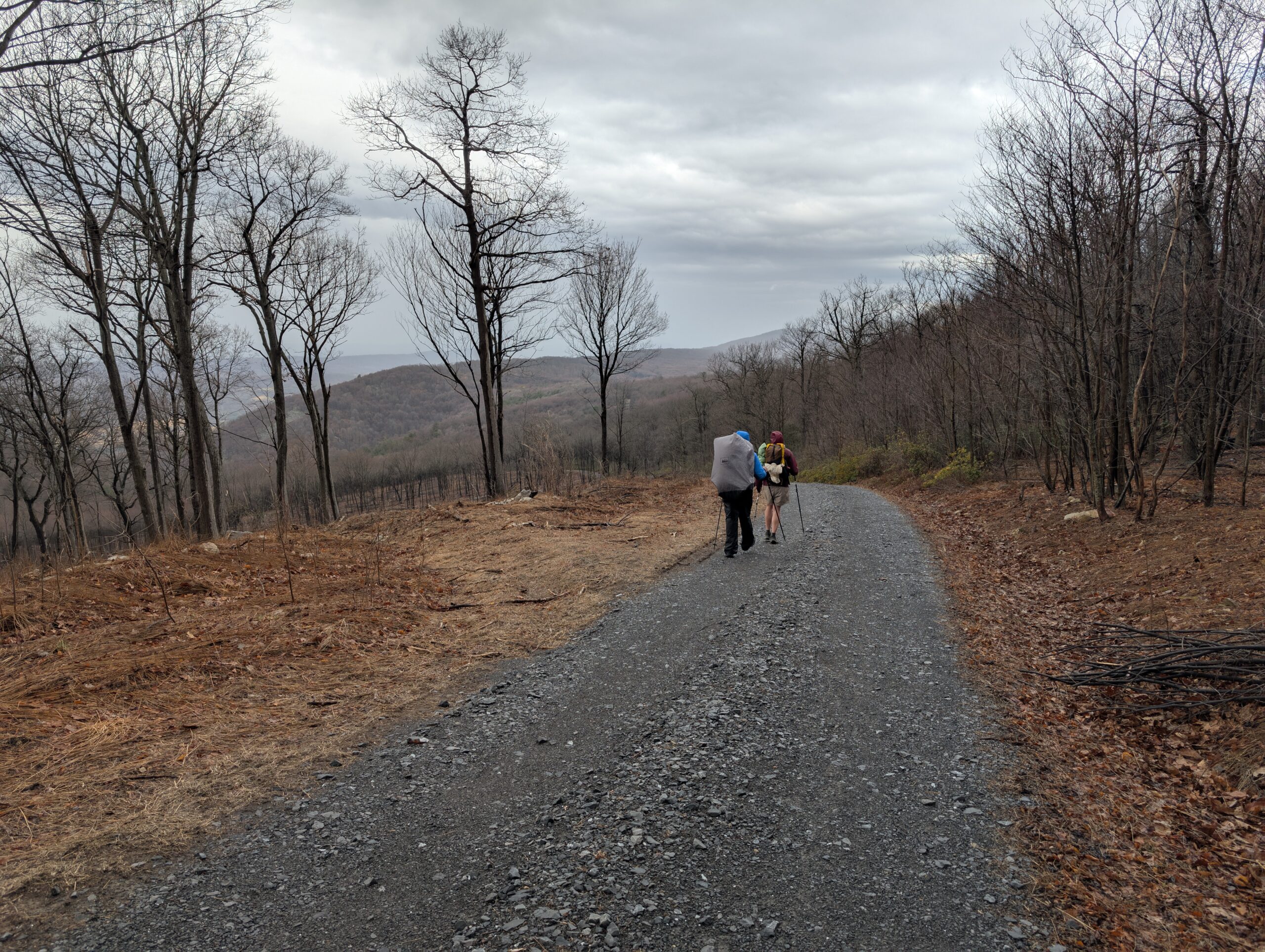
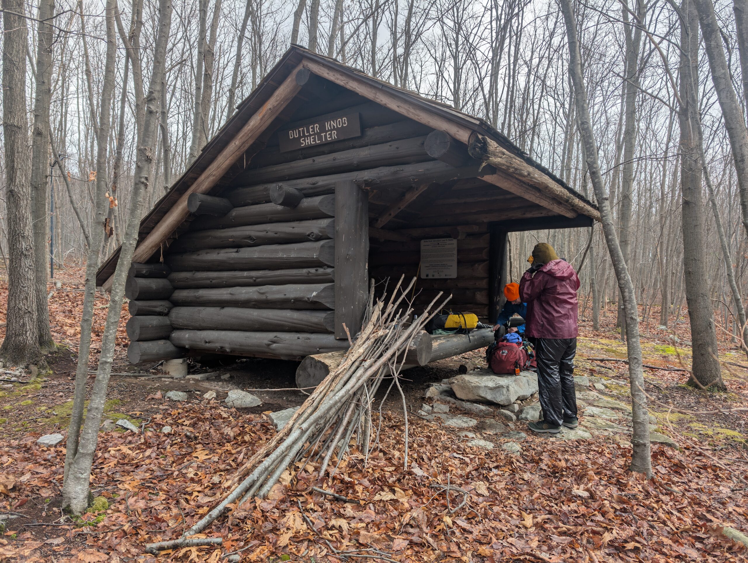
After a few more hours, we logged nearly 20 miles and reached the Butler Knob Shelter by 6:00pm. Beyond being our safe haven from the elements, the shelter was clean and impressively well-constructed. We dried off and started preparing our hard earned dinners as the thunderstorm tapered off. Since we were sheltered now, I wished the storm would have raged the whole night.
Day 3
Butler Knob Shelter to Memorial Park
Distance: 12.8 miles
Elevation Gain: +1,627′
Temperatures plummeted overnight and when paired with the wind coming through the open side of the shelter, I slept uncomfortably. The high today was only 44° and the wind was planning to stick around. By 10:00am, our trio was awake, packed up, fed, and ready to continue our hike north.
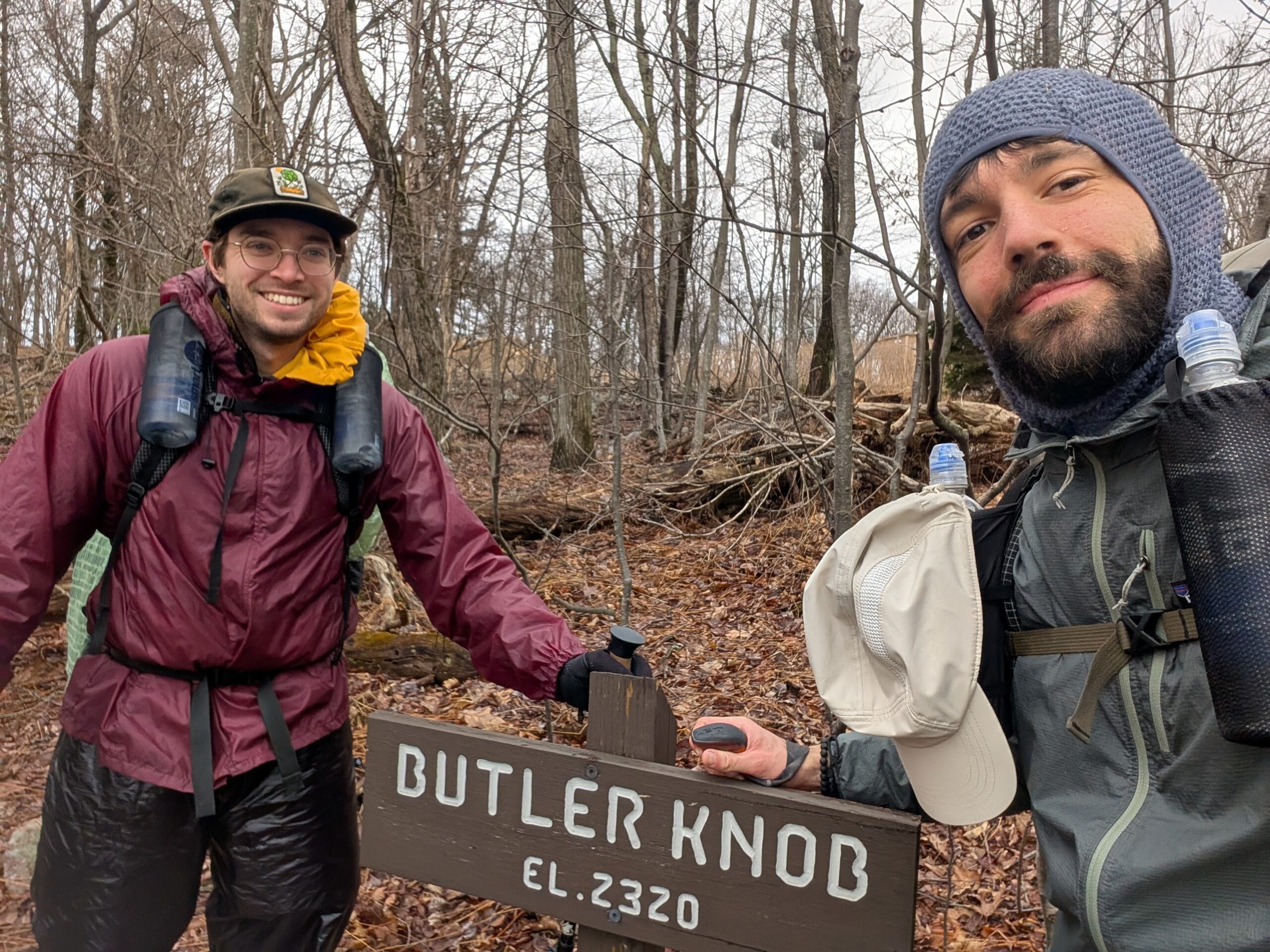
We made a short climb to Butler Knob and were treated to some of our first decent views of the trail. Afterwards, we hiked another mile to a talus field called Hall of the Mountain King, named after a lyric in Spill the Wine by Eric Burdon & War. We survived the treacherous rocks without spraining any ankles and considered that a success.
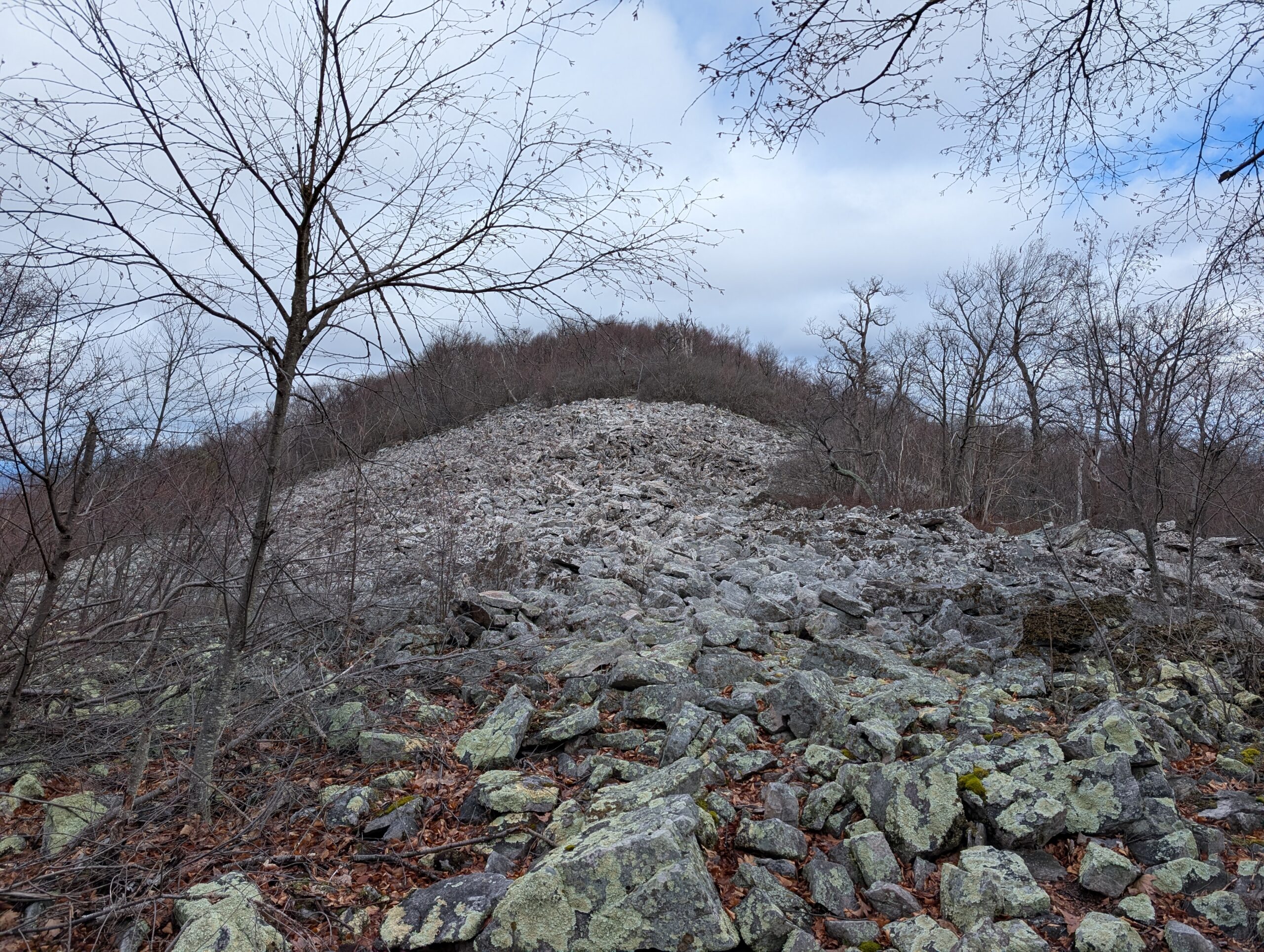
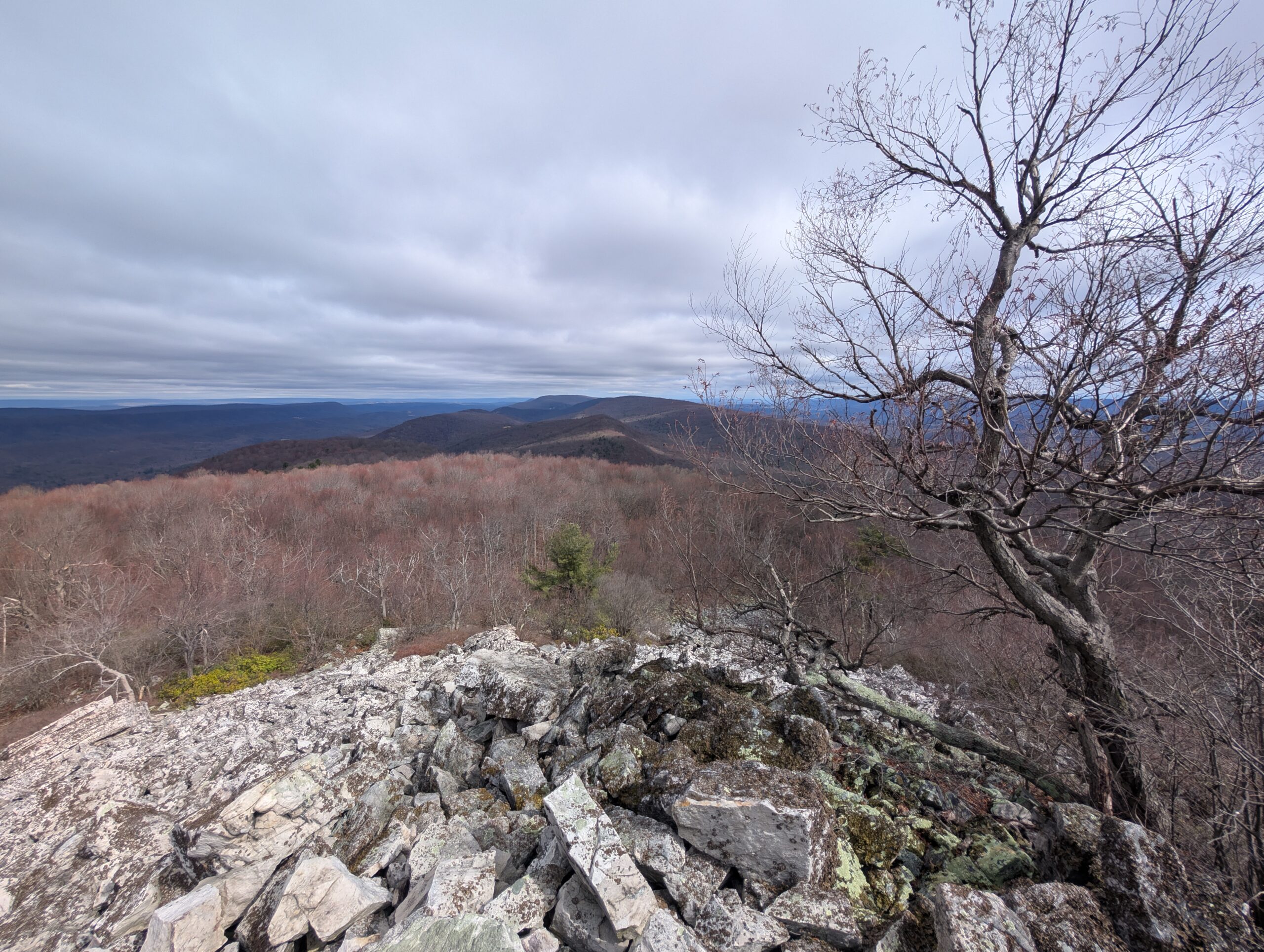
A short while later, we came to an overlook named the Throne Room (love the theming) and enjoyed a fantastic view of several rolling ridges as we were pummeled by wind. Tim agreed to call me by the trail name “Mountain King” and he would henceforth be known as “Stove Boy”.
We descended to a service road that we followed for several more miles. The frequent road walks are a bit of a downside to this trail, however it just means there is room for it to continue to grow and evolve. The majority of this trail traverses private or state game land and it may be difficult to build due to permitting or funding. In any case, I’m thankful it exists and that there is an active organization dedicating to maintenance.
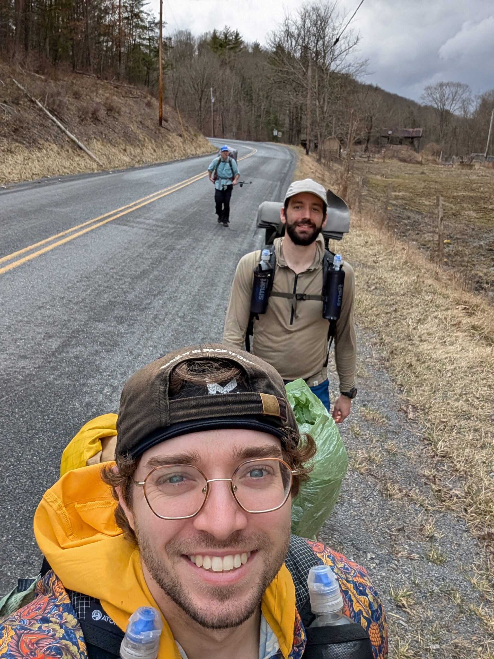
The grassy road turned off the top of the ridge and brought us on a nice stretch of woods with abundant mountain laurel. We passed a side trail for the aptly named Windy Vista, then descended sharply to Scrub Run. A mile or so followed alongside the water and led us to the town of Mapleton, our planned stopping point for the day after logging 13 miles.
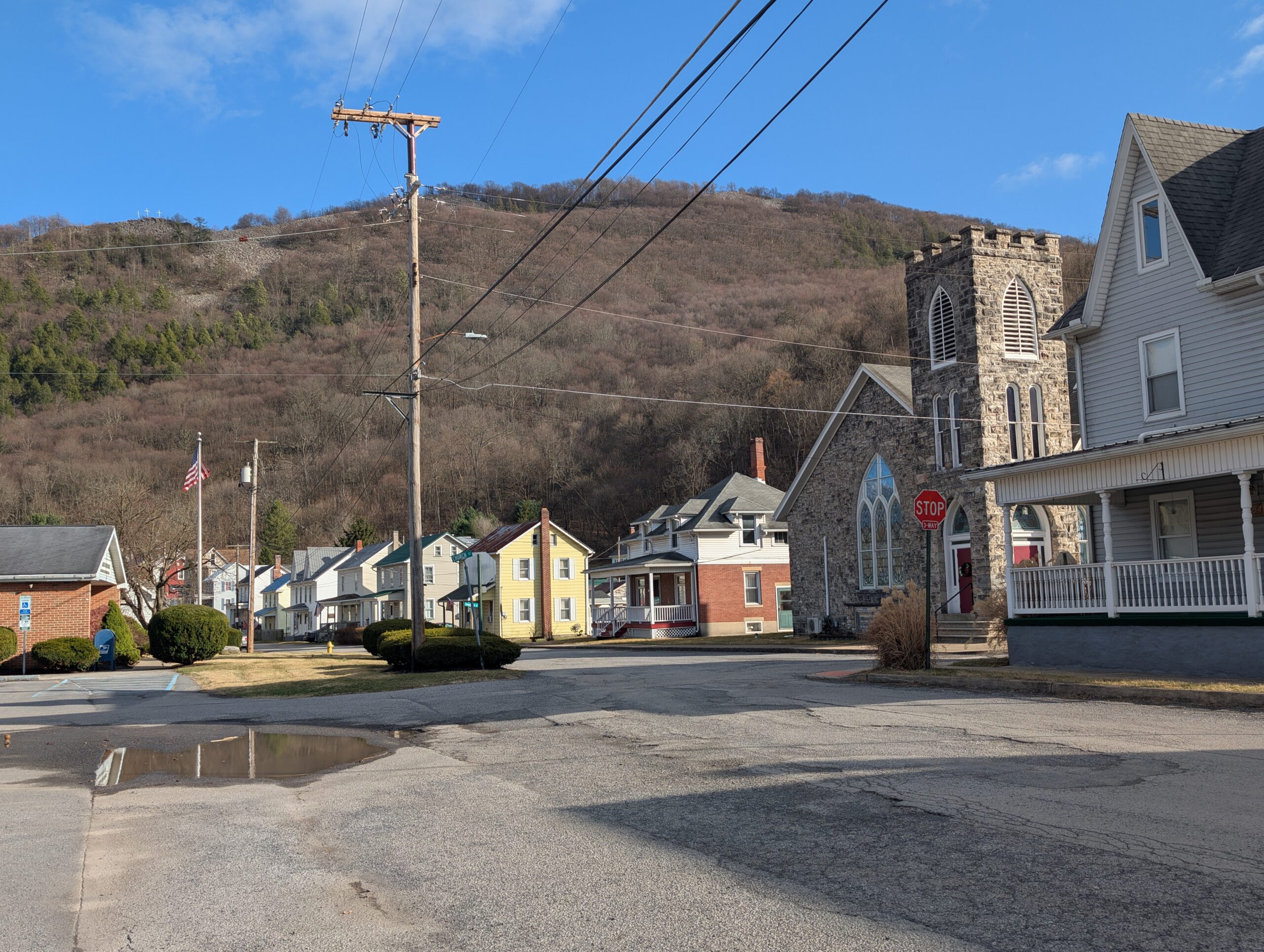
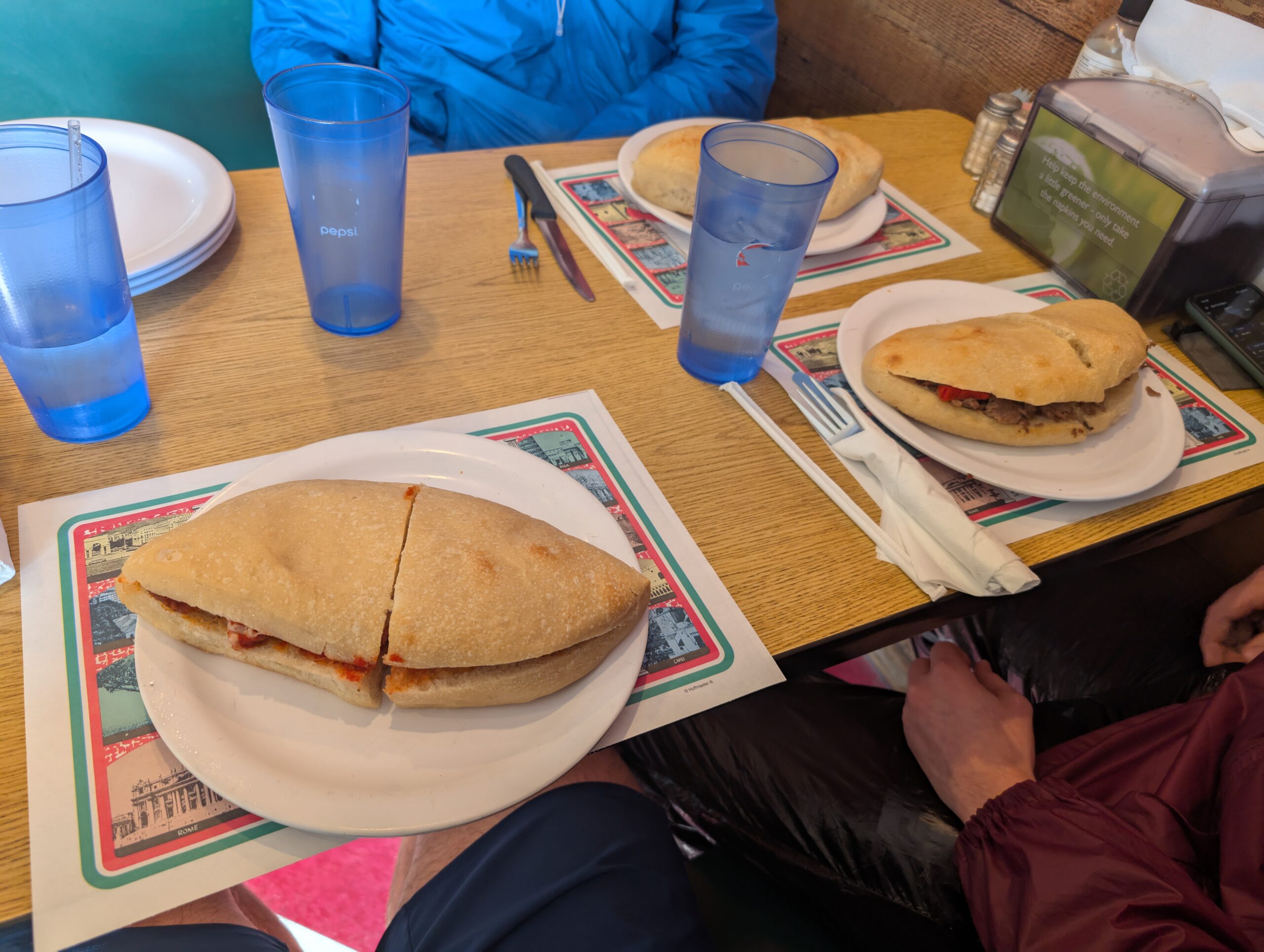
Our second town in two days had some Appalachian charm. It felt like a genuine mountain town, with an active rail line running alongside the Juniata River at the base of Mount Union. It was dinner time when we arrived, so we pulled over at Original Italian Pizza and stuffed our faces with exceptionally doughy subs and strombolis.
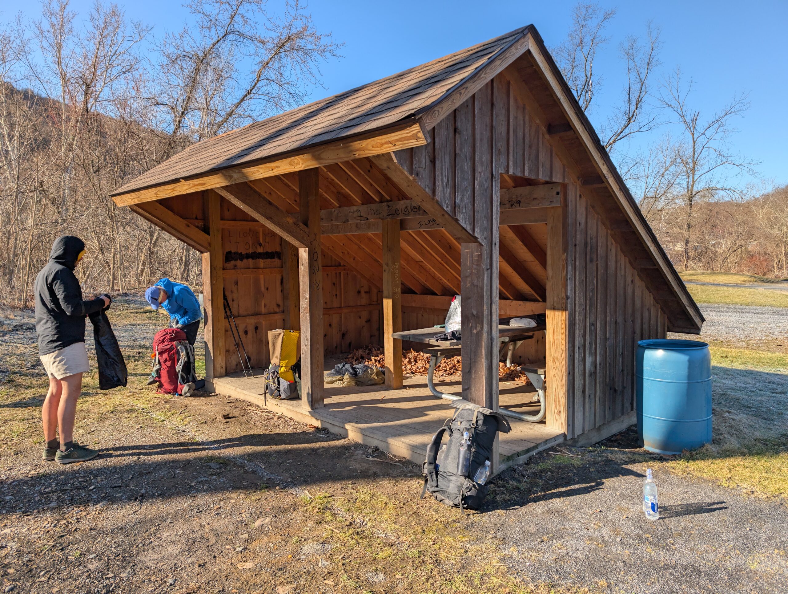
Across the river on the other side of town was Memorial Park. Several picnic tables, fire pits, and a lean-to shelter were available for the public to use. We happily took advantage of the shelter, but decided to pitch our tents for the night anyway. Our goal was to avoid the draft from the shelter, since the low tonight was only 28°. Tim and I stayed out for an hour after dark for some casual star gazing, but retired before much longer due to the uncomfortable cold.
Day 4
Memorial Park to Dispersed Campsite
Distance: 14.2 miles
Elevation Gain: +2,753′
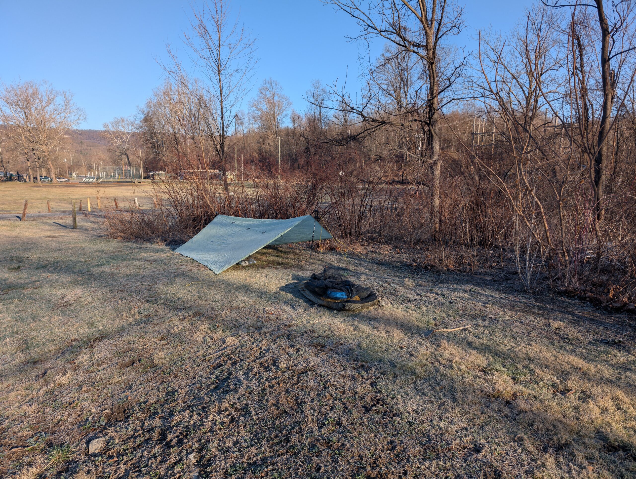
An overnight frost led to a slow and chilly morning. Fortunately, the sun was out for the first time all hike and we hung up our quilts and tarps to melt the ice that had crystalized on them. It was set to be a beautiful day with a high in the 60s.
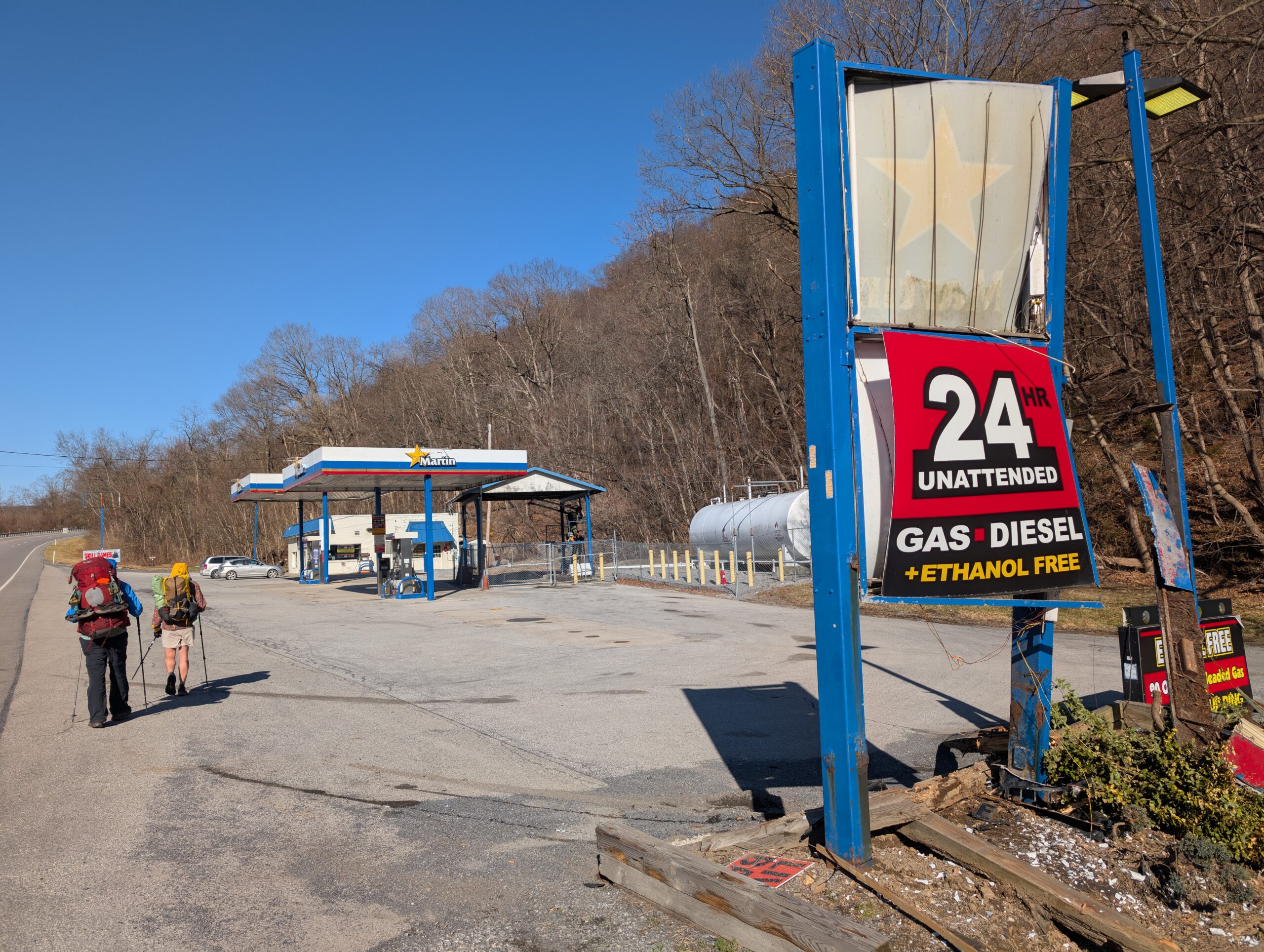
We walked along the Juniata River, then crossed Rt. 22 and came upon a Martin gas station. Mostly looking for water and a restroom, we went inside its dilapidated storefront. The restroom was out-of-order and there was absolutely no coffee, but there was a modest selection of Delta-8 products and a whopping six slot machines. The cashier explained that the previous owner left the place neglected, and said “it’ll never be what it once was”, leaving us wondering what the glory days of Martin were truly like.
On deck was the infamous Thousand Steps, a steep staircase up Mount Union that’s been used by miners in the area since 1936. I gave up on counting early on, but can confirm that there are at least 1,000 steps. It was likely the most challenging climb of the SST. At the top, we found an old stone building called the Dinkey House and enjoyed some great views of Mapleton and the Juniata River below.
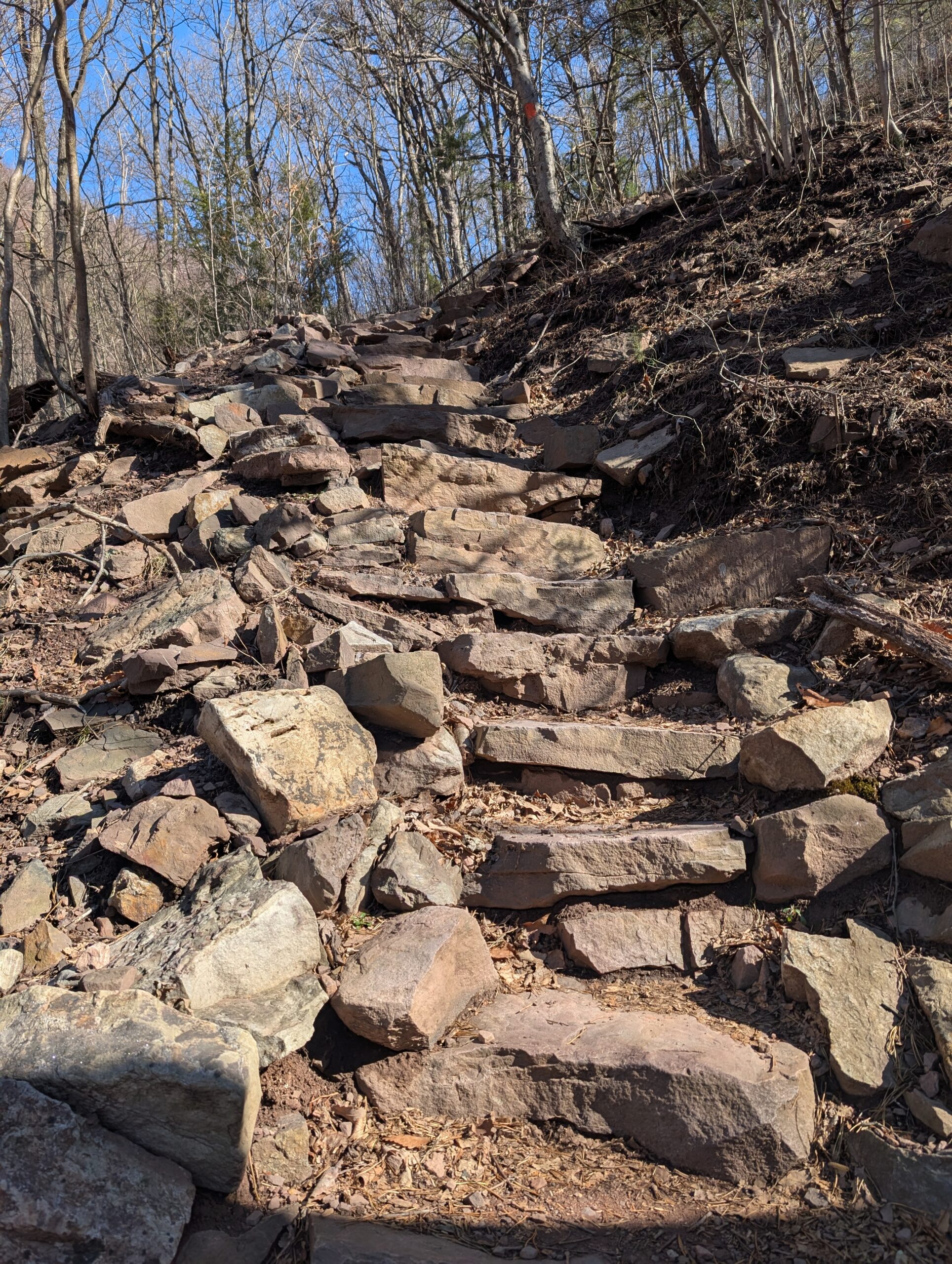
The following miles were a mixed bag of loose rocks and padded, mossy trail. We often missed unassuming switchbacks and had to spy an orange blaze before turning around and backtracking. However, there was not a cloud to be seen and regular scenic views made today the best day of hiking yet. We took a short lunch at a trail junction with Jack’s Mountain campsite, where I made a quick, quarter-mile water run to Smoke Ums spring.
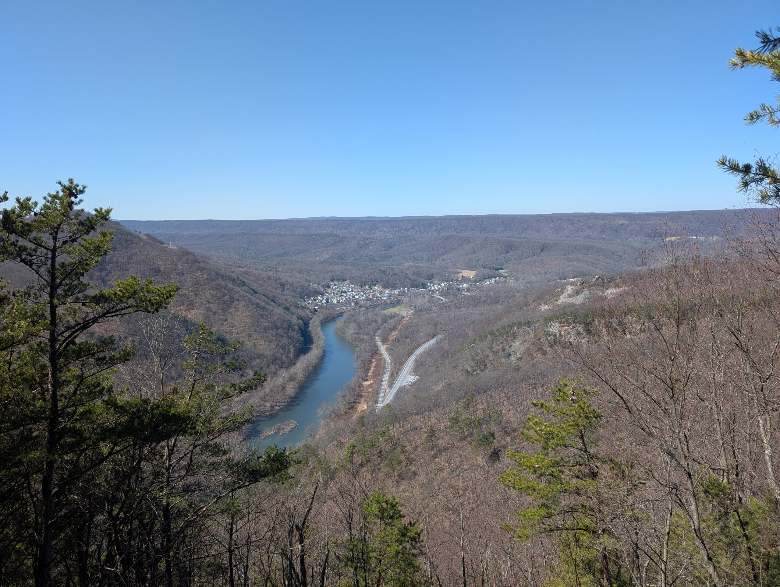
The trail made a steep descent to Rt. 655 before climbing back up the next ridge. A heavily logged section made for a few frustrating miles, but we soon found ourselves back in the woods as the day was nearing its end.

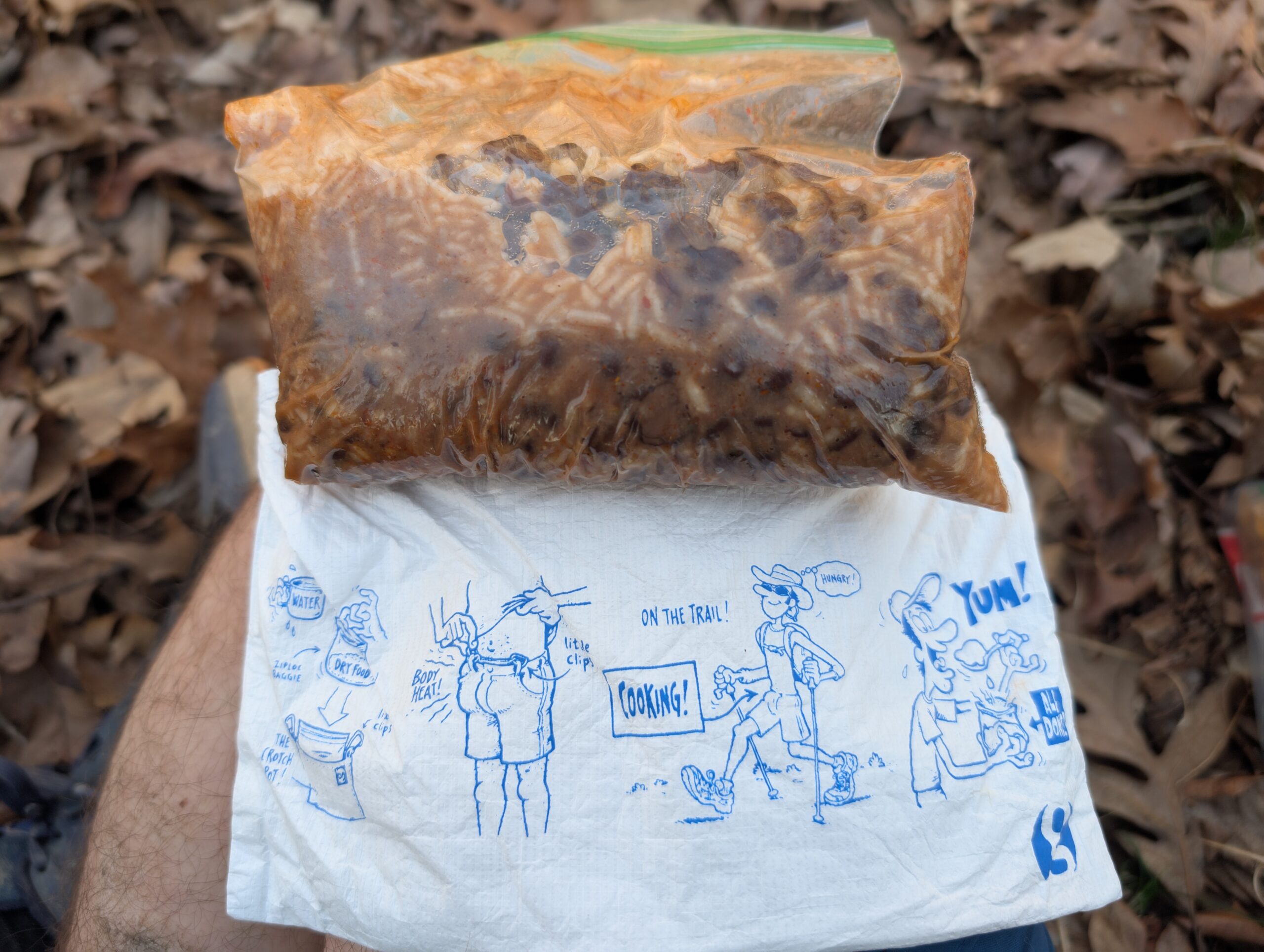
Now, as we were beginning to look for a place to make camp, was the perfect time to try out my Crotch Pot. This was a gag gift given to me by my brother, Tyler. I would explain how it works, but the illustration on the front does a much better job than I ever could. After nearly an hour of hiking, the ice cold spring water I poured on my beans was just about room temperature. Success?
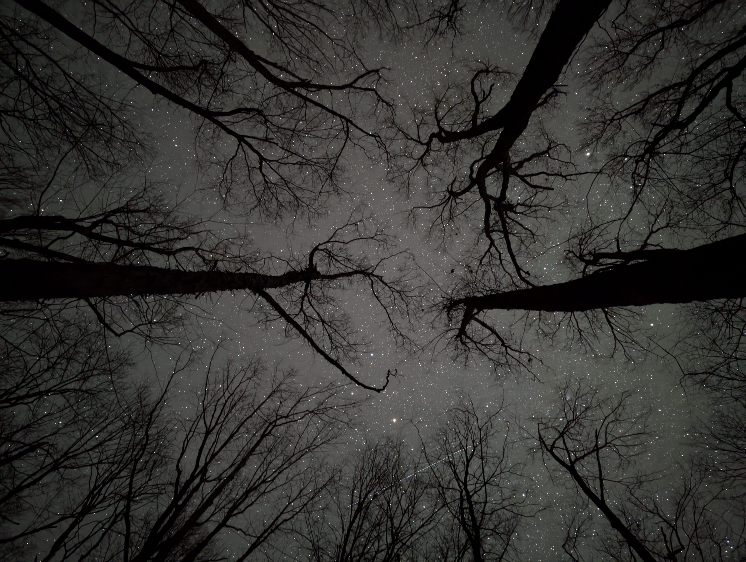
We had to travel a bit further to get out of State Game land for a campsite, settling down near dark.. After dinner and chores were completed, dusk gave way to a perfectly clear night sky beyond the trees. Tim and I practiced our astrophotography for a while before heading to bed.
Day 5
Dispersed Campsite to Greenwood Furnace State Park
Distance: 17.2 miles
Elevation Gain: +3,449′
Another brisk morning greeted us, with the sunrise being blocked by a hill to our east. By 8:30am, we were ready to tackle our last full day of hiking, which began with casual, rolling hills past unique rock formations. If there is one thing that defines PA hiking, it’s plenty of awesome looking rocks.
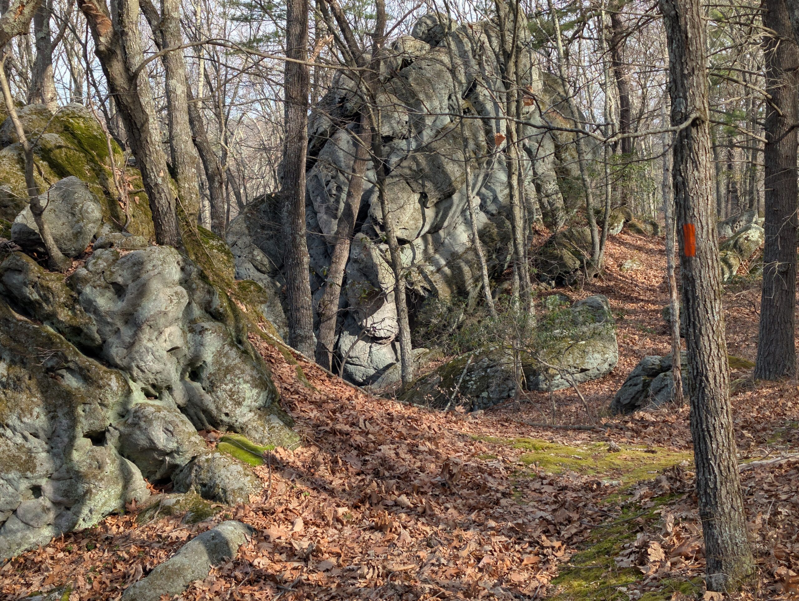
We passed several features in the morning, including Vulture Rocks, navigating twists and turns through stone corridors. Everyone was starting to get hungry by noon as we passed Hunter’s Rocks, so we ate lunch among the boulders. I climbed around a bit, but will definitely be returning in the future to properly attempt some of the trickier problems.

After lunch, we descended to Frew Rd and a nearby stream that marked our last reliable water source for the next 8 miles over the following ridge. The climb up was not terribly steep, but felt like one of the more strenuous hills of the trail thus far. The ridgeline offered consistent views of farmland on either side and was a hotspot for spotting birds of prey.
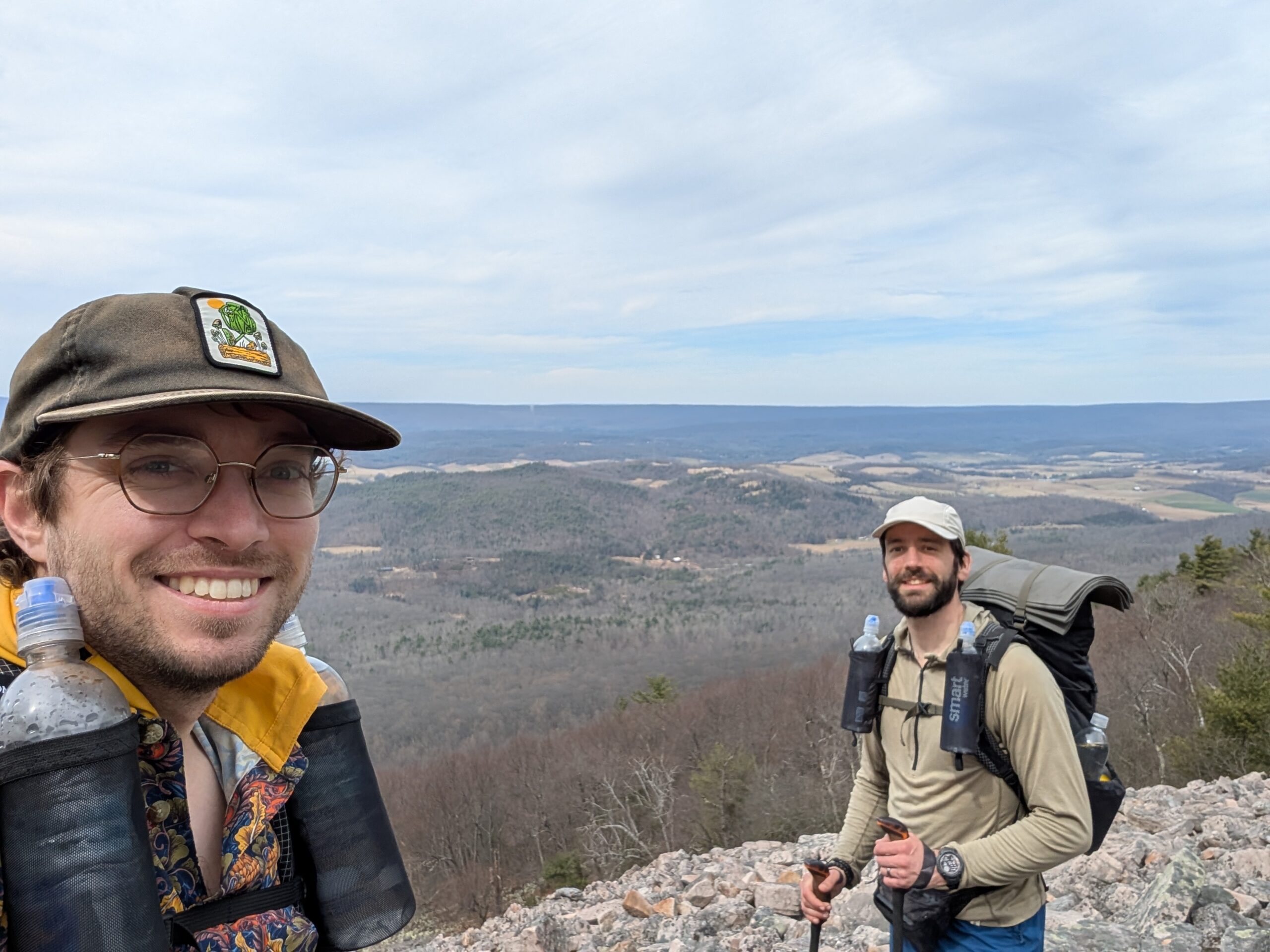
The trail grew quite technical and our pace slowed considerably. There was a solid four mile stretch on the ridge where every step was over loose rocks and fallen debris from trees had yet to be cleared. After a long and exhausting afternoon, we cleared the ridge and started making our way down towards Greenwood Furnace State Park.
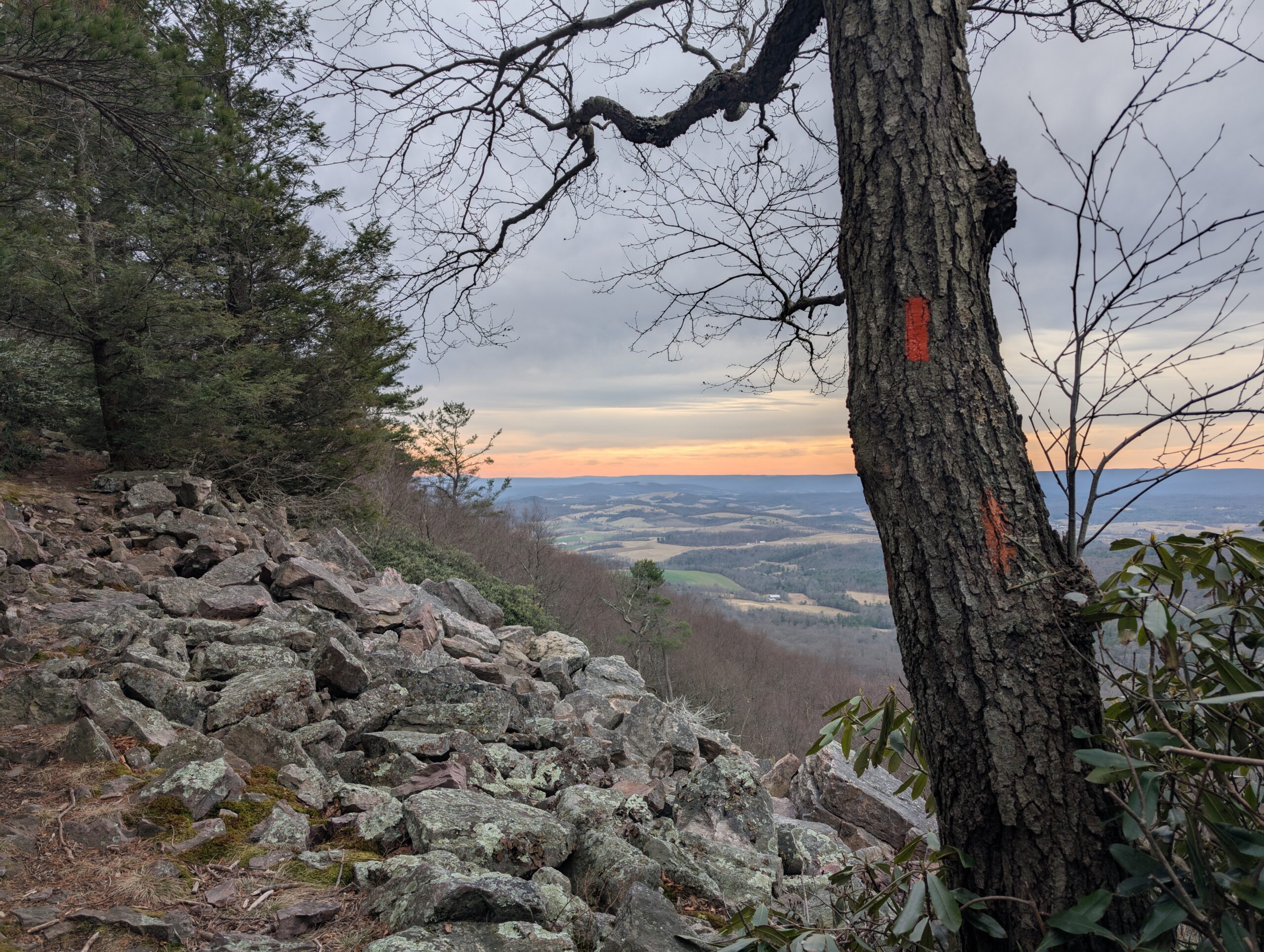
We entered the park at sunset after all the amenities had closed, but managed to find potable water from a faucet underneath a pavilion. Not sure what to do about camping just yet, we decided to eat first, think later. After a satisfying meal, we figured that finding a campsite on trail was preferable to road walking to the campground in the park and saddled up our packs once more.
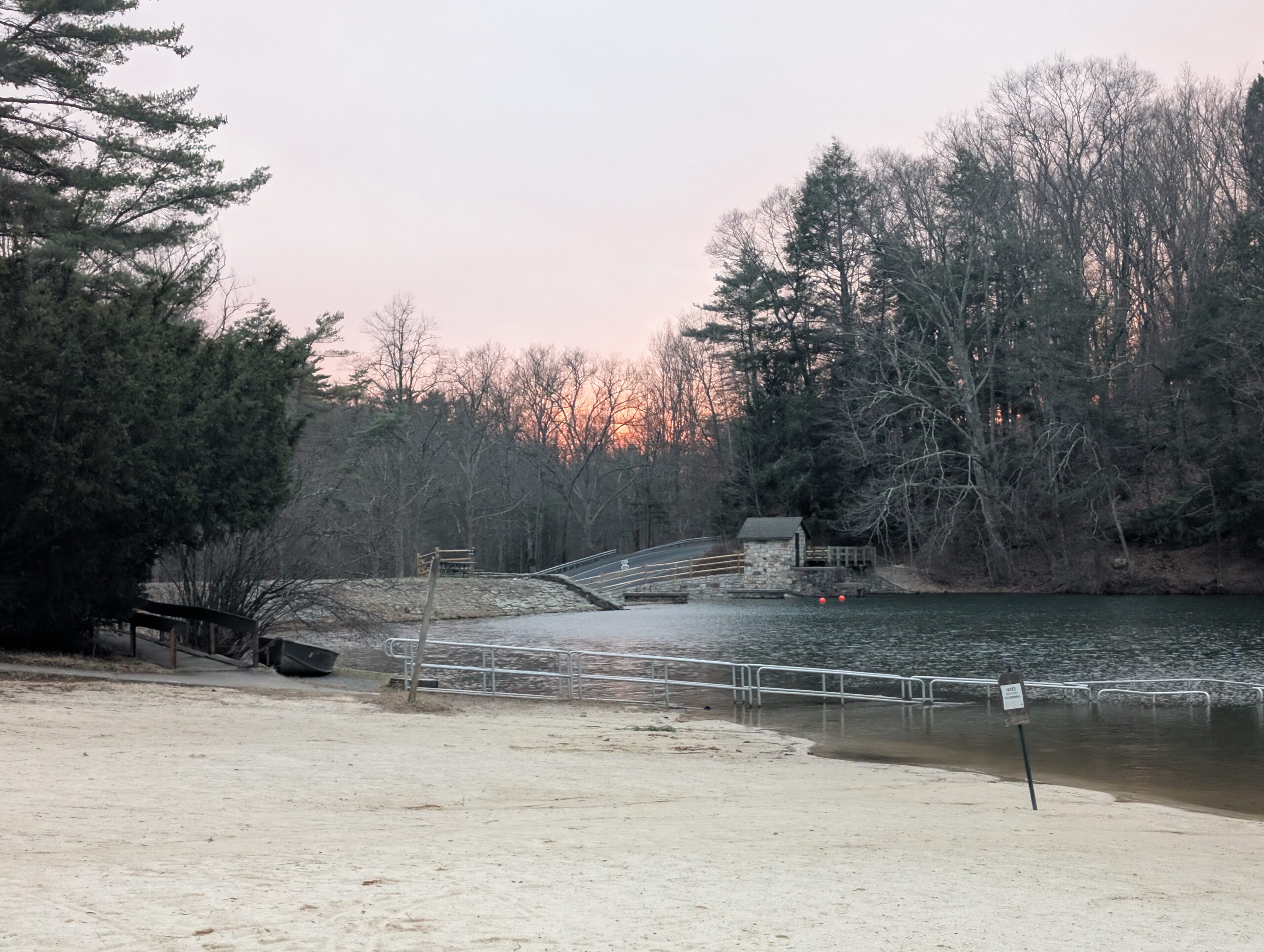
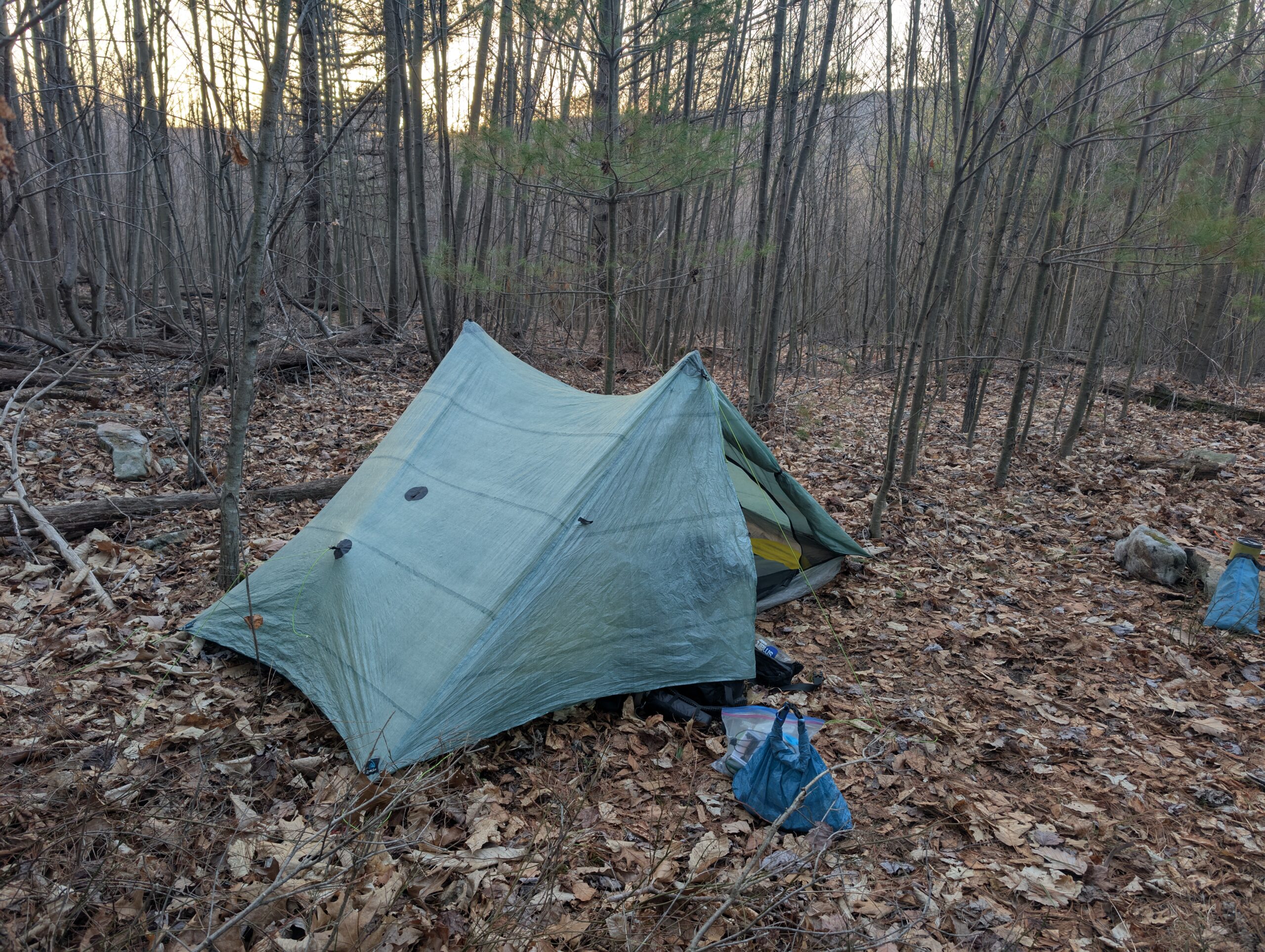
Another mile of night hiking brought us to a low-key campsite marked by the FarOut guide. We quickly set up camp and retired for the night. This trail proved to be the ultimate shakedown, throwing a variety of conditions at us including thunderstorms, freezing temperatures, technical terrain, and now a sprinkle of night hiking.
Day 6
Greenwood Furnace State Park to Detweiler Junction
Distance: 5.8 miles
Elevation Gain: +1,643′
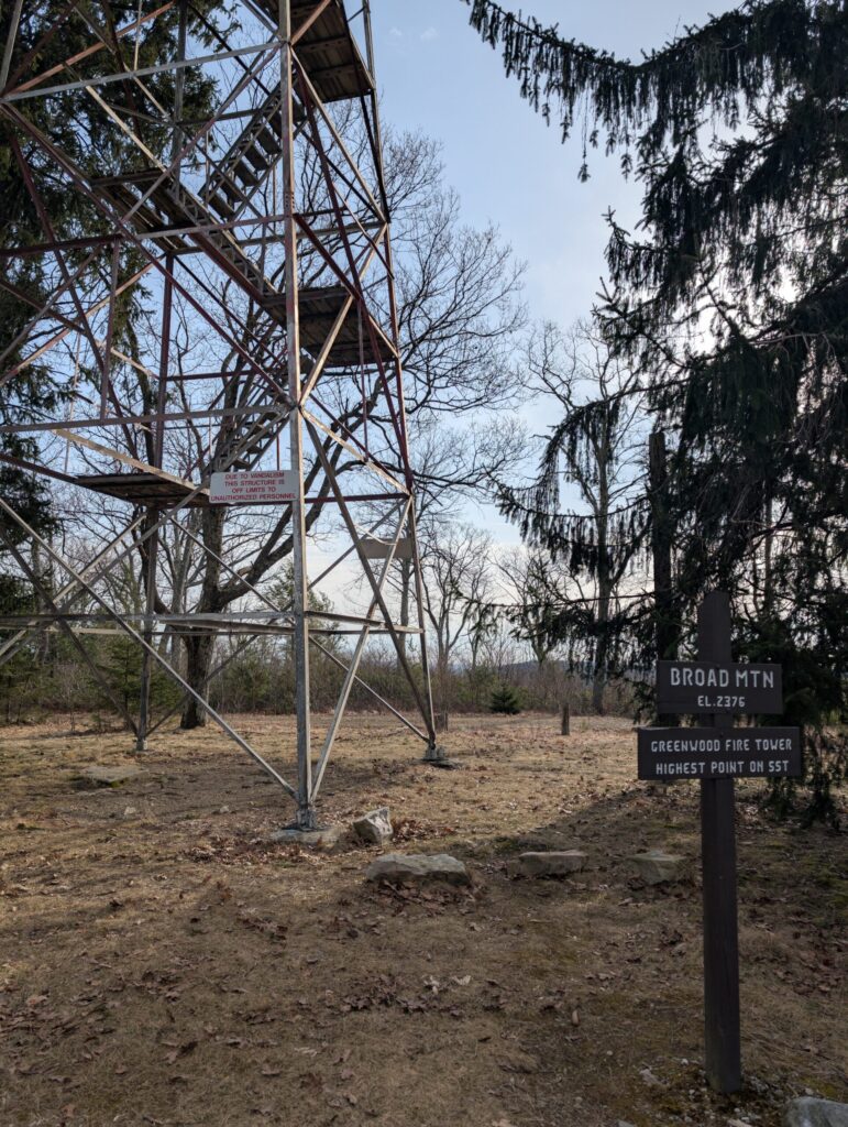
Covering extra ground the previous day was worth it, now only a handful of miles remaining. We started sometime after 8:00am and completed the rest of a gradual climb to the top of Broad Mountain and the Greenwood Firetower. This was the high point of the SST, standing at 2,376′.
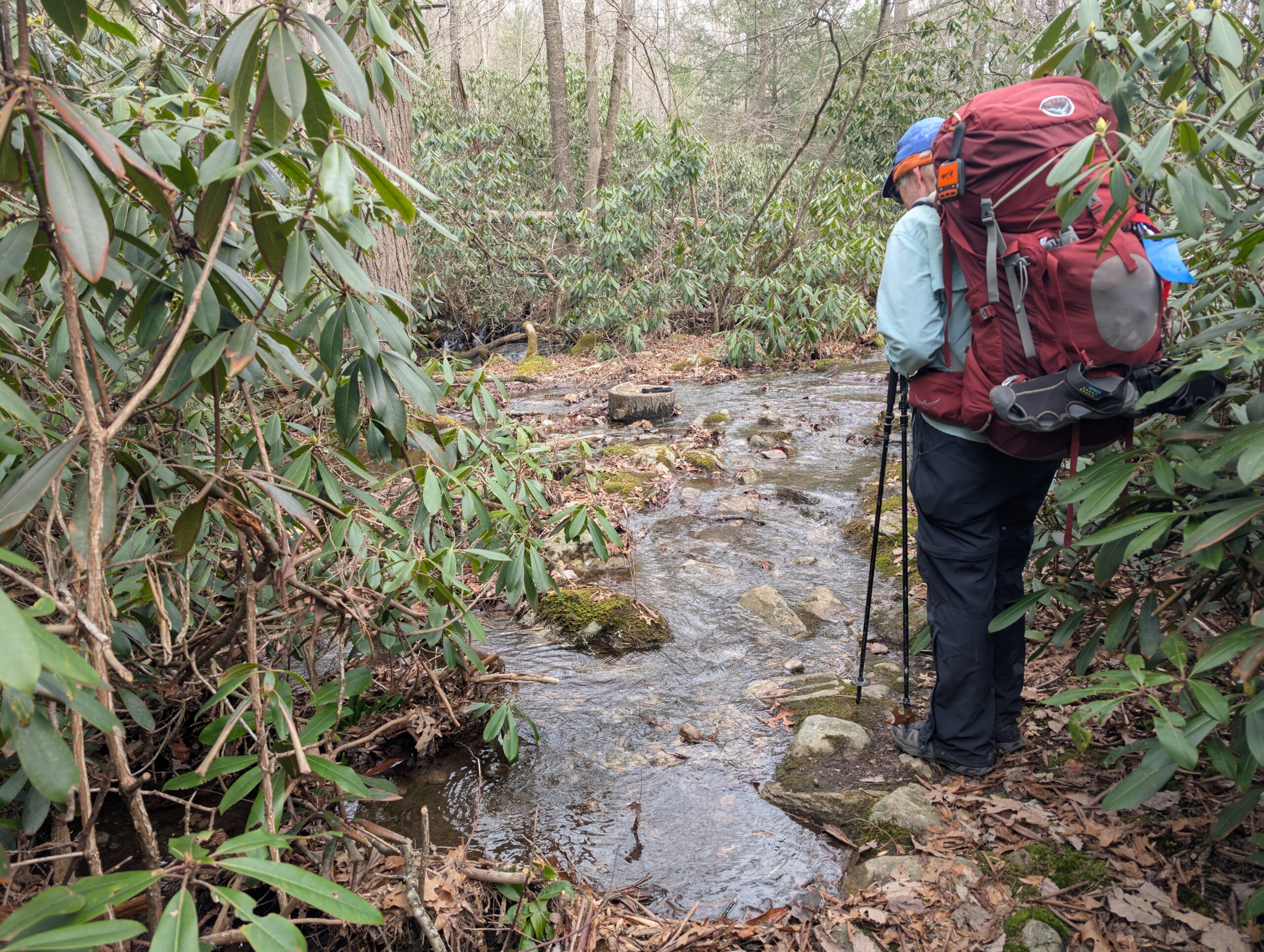
We descended towards the Alan Seeger Natural Area. Here we found abundant patches of rhododendron and pleasant footbridges over rushing streams. That is, until we crossed the last of them and found ourselves hopping across flooded trail. With less than a mile to go, the trail still did not let up.
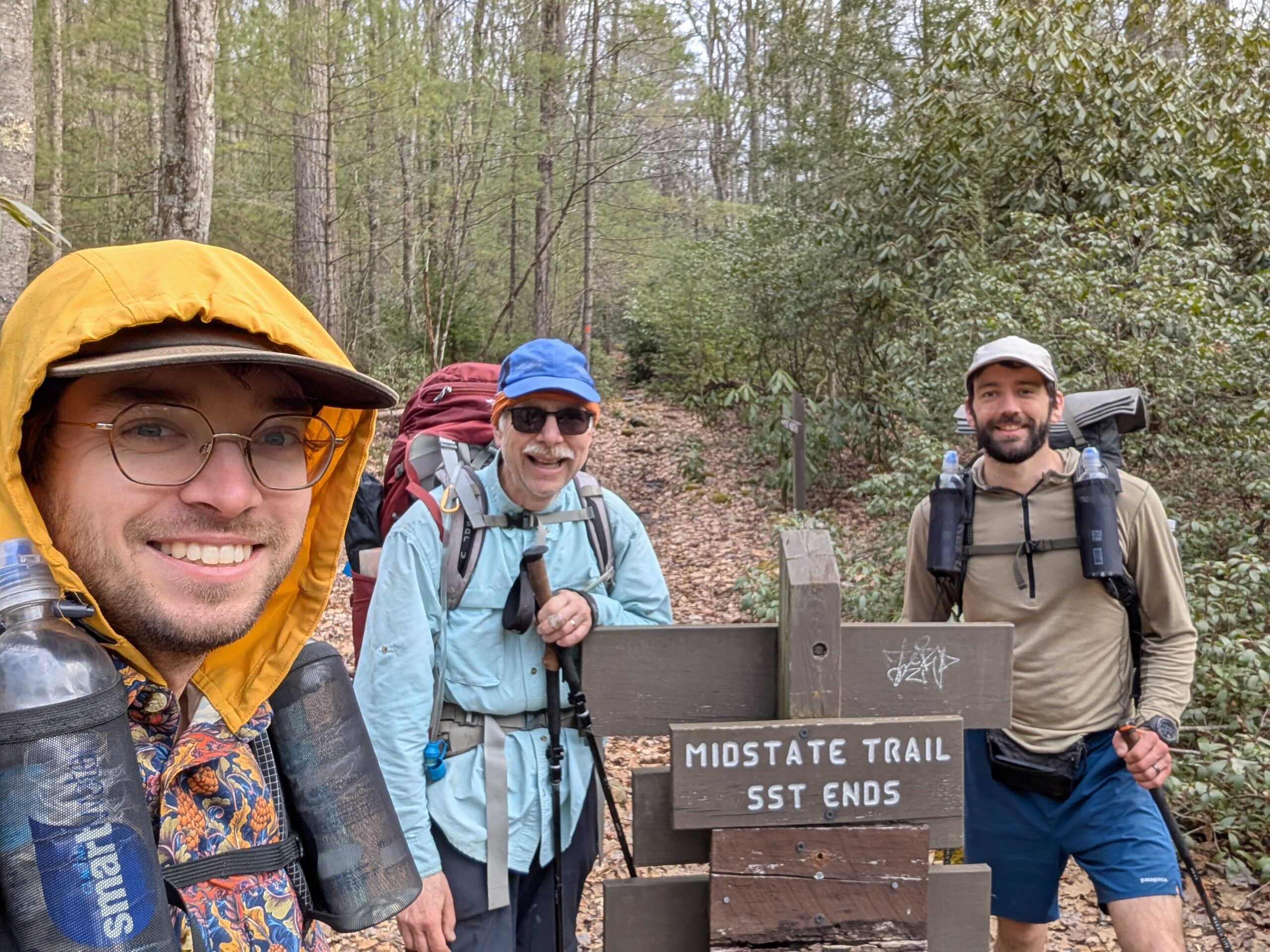
We followed Detweiler Run for a short while before we reached the junction marking the end of the Standing Stone Trail and its connection to the Midstate Trail. It was about 11:30am and we began the drive back towards Pittsburgh.
Overall, I had a great experience on the SST. I was a little skeptical after the first two days of hiking, but this could probably be blamed on the poor weather and resulting lack of views. The highlights for me were the Hall of the Mountain King & Throne Room, Thousand Steps, Hunter’s Rocks, and Alan Seeger Natural Area. The SST certainly feels like an adventure. Tim commented that he enjoyed this hike more than other PA trails because it had a bit more variety and I agree that it offers a little bit of everything.
Stay dirty,
Alex

