7/4 – Day 65
23.8 miles from Jim & Molly Denton Shelter to Buzzard Hill
Following two neros and a zero, it was time to stop being lazy hikers and put in an honest day’s work. We hit the trail at 8:20am and it was only an hour later that Spout began complaining she was tired. Fortunately, she managed to power through a dozen miles in the morning before we stopped for lunch. As we were getting ready to hike again, a guy named Lentilman (Candyman’s arch nemesis) was walking northbound and we fell into stride with him. Despite his poor taste in trail food, he was an intersting lad from State College, PA who was on his final few days of a hike to Harper’s Ferry to complete the entire AT in sections.
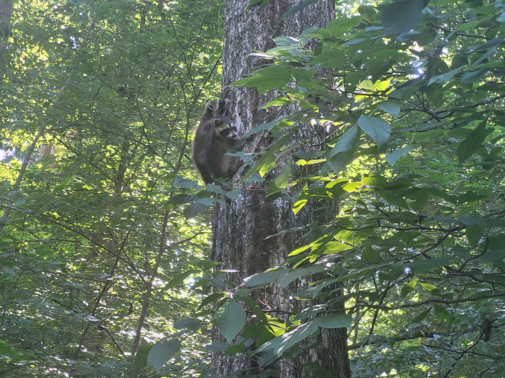
We hiked through Sky Meadows State Park, defined by a series of meadows with tall, yellow grass and little elevation change. A few hours later, we had re-entered the green tunnel when we heard some leaves rustling off the right side of the trail. Expecting to see our one-millionth squirrel, we were shocked to find three baby raccoons clambering their way up the side of a large oak tree. They climbed in a clumsy fashion, apparently frightened to see us but not quick enough to shoot up the trunk, which gave us plenty of time to watch their adorable escape.
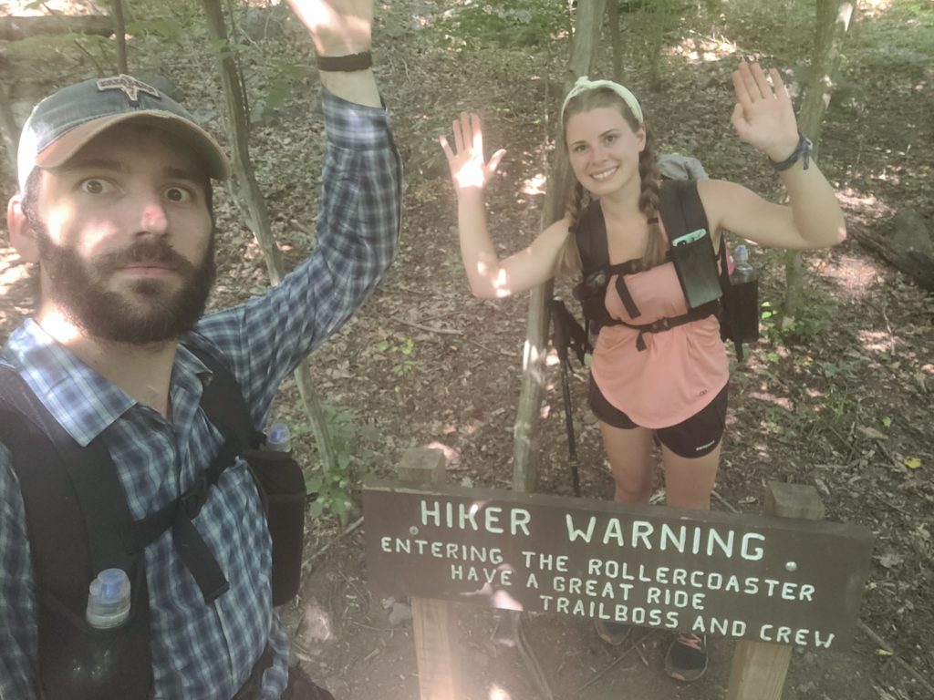
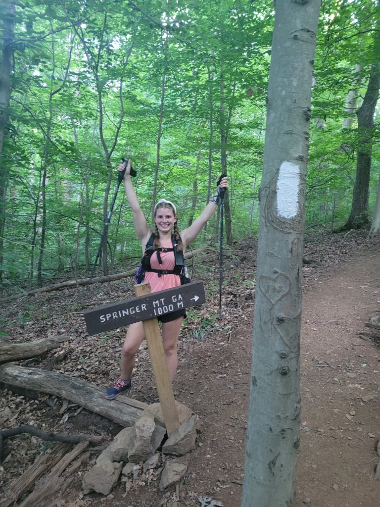
A few miles farther north we reached the southern end of the infamous rollercoaster section. Known as Virginia’s last hurrah, the trail traverses ten peaks (each less than a 500′ climb) over a fourteen mile stretch. We buckled in, climbed the first of the hills, and zoomed down the opposite side. A few weeks ago it might have been something to fear, but now it was more like a fun challenge. The best part? After our third hill we passed mile marker 1,000. Pretty cool.
And I would walk 500 miles
And I would walk 500 more
Just to be the man who walked a thousand miles to fall down at your door
We went a few miles further to reach Buzzard Hill where we reconnected with Dipper and camped on a nice clearing. I have to say, I did not expect to spend my 4th of July sleeping on top of a rollercoaster…
7/5 – Day 66
15.7 miles from Buzzard Hill to David Lesser Memorial Shelter
My sleeping pad developed a large pinhole leak at some point during the few nights prior. The pad went from fully inflated to flat in just under an hour. I had a miserable night using the Earth as a mattress, earning a meager two hours of sleep. I knew we needed to find a solution or somewhere else to sleep before the following night because it was not sustainable to deal with it until the next town.
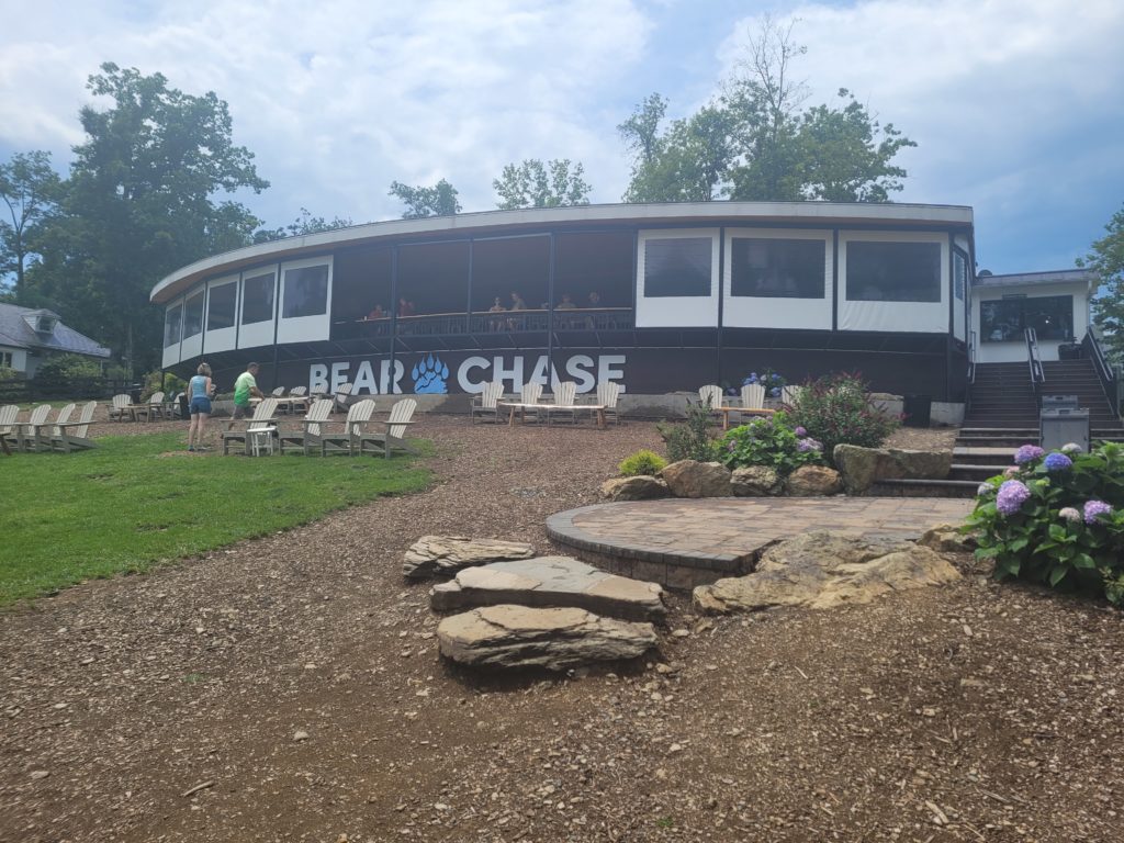
I was testy all morning long. Spout and I argued about whether to push twenty-five miles to Harper’s Ferry or to find somewhere else to stay. Ultimately, we gave up on trying to force a long day once we realized the rollercoaster had other plans for us. After toying with us for several miles, we reached Bear’s Den Hostel and went to the Bear Chase Brewery next door for some food and beer to ease our minds.
After we left, we came across a couple, Doppler and Queue, doing trail magic at Snicker’s Gap. Just what we needed, more beer. Doppler and Queue were in the process of finishing up the trail in sections when their house in Virginia flooded and they had to go back home to deal with it. They may have been the nicest people I have ever met. They offered to house us overnight in their home and provide showers and laundry. After we refused, they gave us a ride a mile down to the river so I could submerge my pad and find the leak. With a real hack-job of a repair, I slapped some glue and a patch over the hole and prayed it would hold.
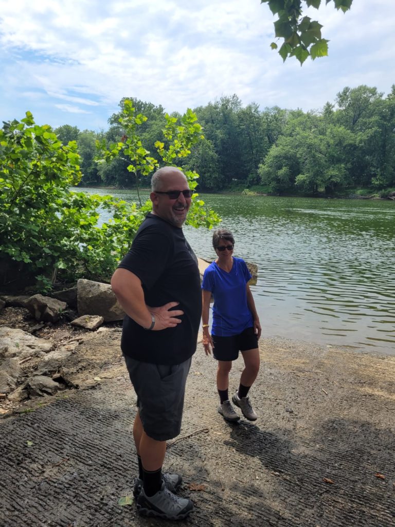
We thanked them way too many times and continued on our way, eager to conquer the remaining few hills of this annoying section. Halfway up the second-to-last climb, we reached the state line and officially crossed into West Virginia! It was hard to believe it, but the state that we hiked in for the past 550 miles over five weeks was now complete.
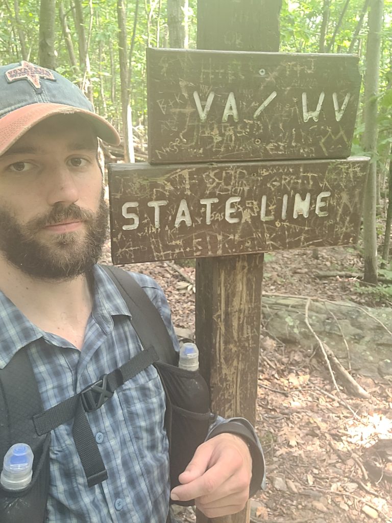
Well, except that the trail crosses back into Virginia after the rollercoaster ends. Virginia is a bit clingy and still did not want us to leave. We went five miles further to a beautiful lookout at Buzzard Rocks and settled down at David Lesser Memorial Shelter, which, of course, was still within the VA border. There was always the next day…
7/6 – Day 67
15.9 miles from David Lesser Memorial Shelter to Edward B. Garvey Memorial Shelter
My sleeping pad repair seemed to work and I awoke well rested at 6:30am. We wanted to reach Harper’s Ferry as soon as possible, so we set off after a filling oatmeal breakfast. The remainder of whatever state we were hiking in was pleasant. The forest floor was blanketed in vibrant green ferns with frequent patches of wineberries between the trees. It was flat but somewhat rugged.
Somewhere around Loudon Heights we passed the anticlimactic state border sign (again), but this time for good. From there, we descended a steep, gravely hill towards town. Excitement began to brew as the Shenandoah River popped back into view through the cover of the trees; we had made it to Harper’s Ferry!
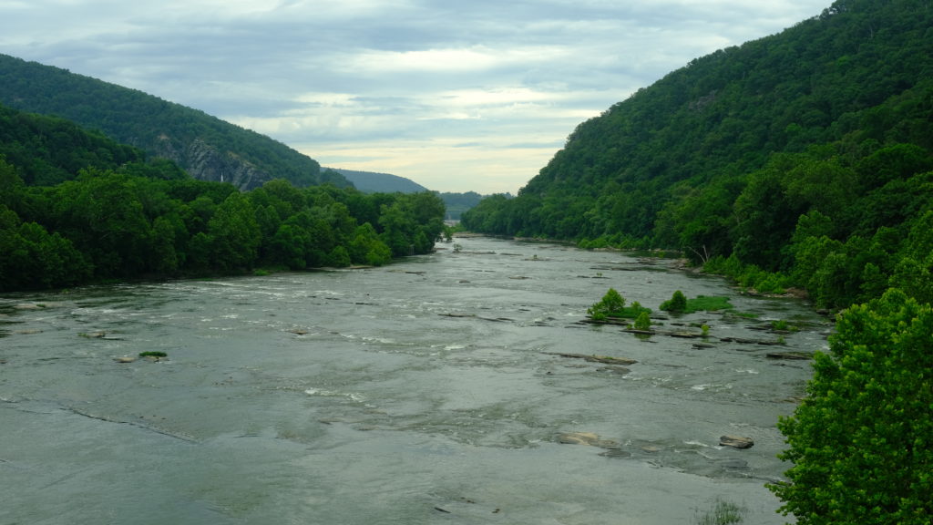
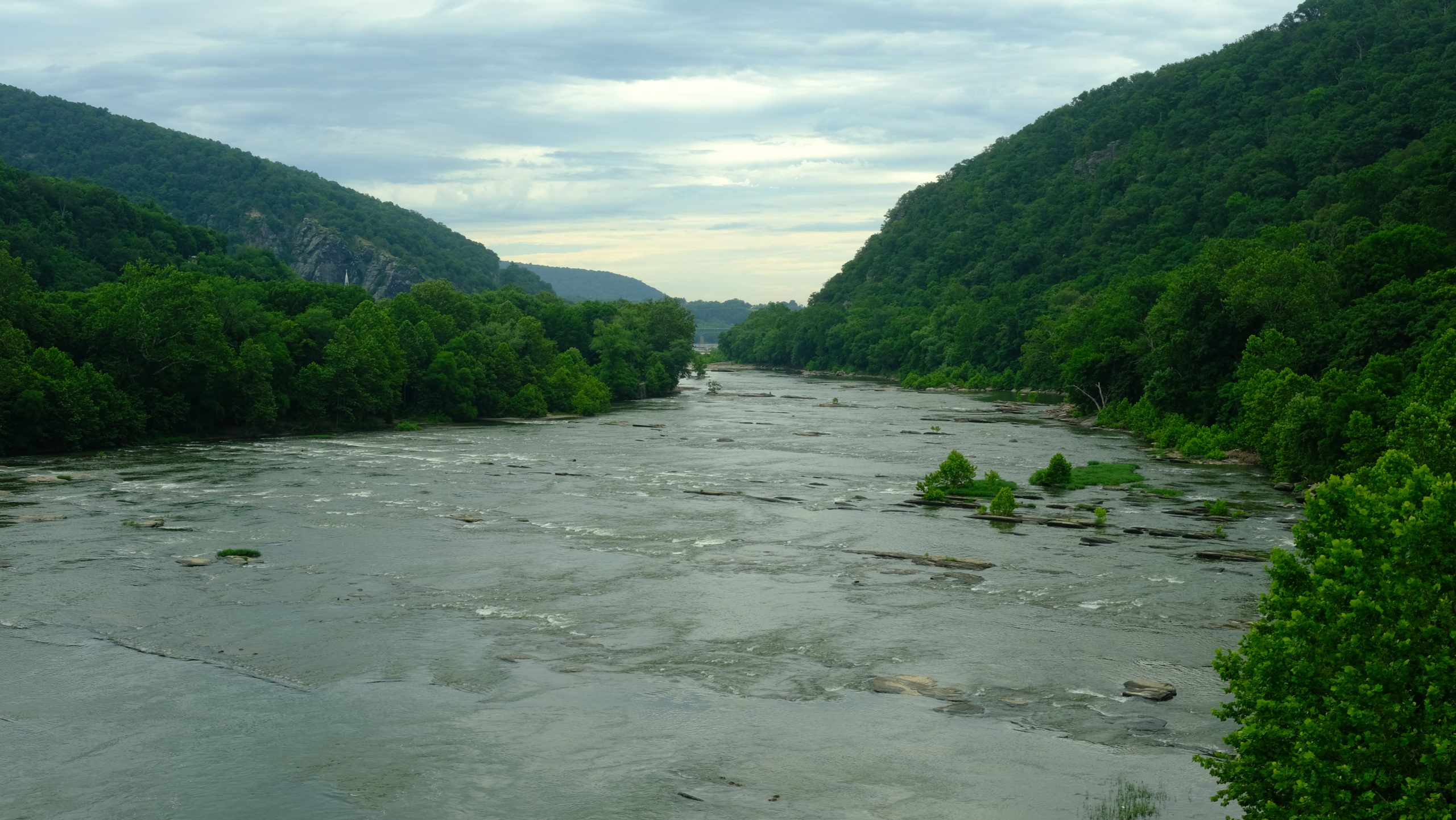
Harper’s Ferry National Historic Park is the ‘spiritual halfway point of the Appalachian Trail’. It is also the headquarters of the ATC and an important historical town with a rich history in several great American conflicts. We crossed the bridge over the Shenandoah River and looked out over the rapids that forced their way along the rolling green mountains in timeless wonder. It was a sight that seemed instantly iconic.
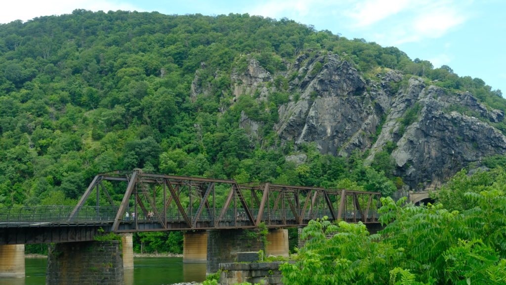
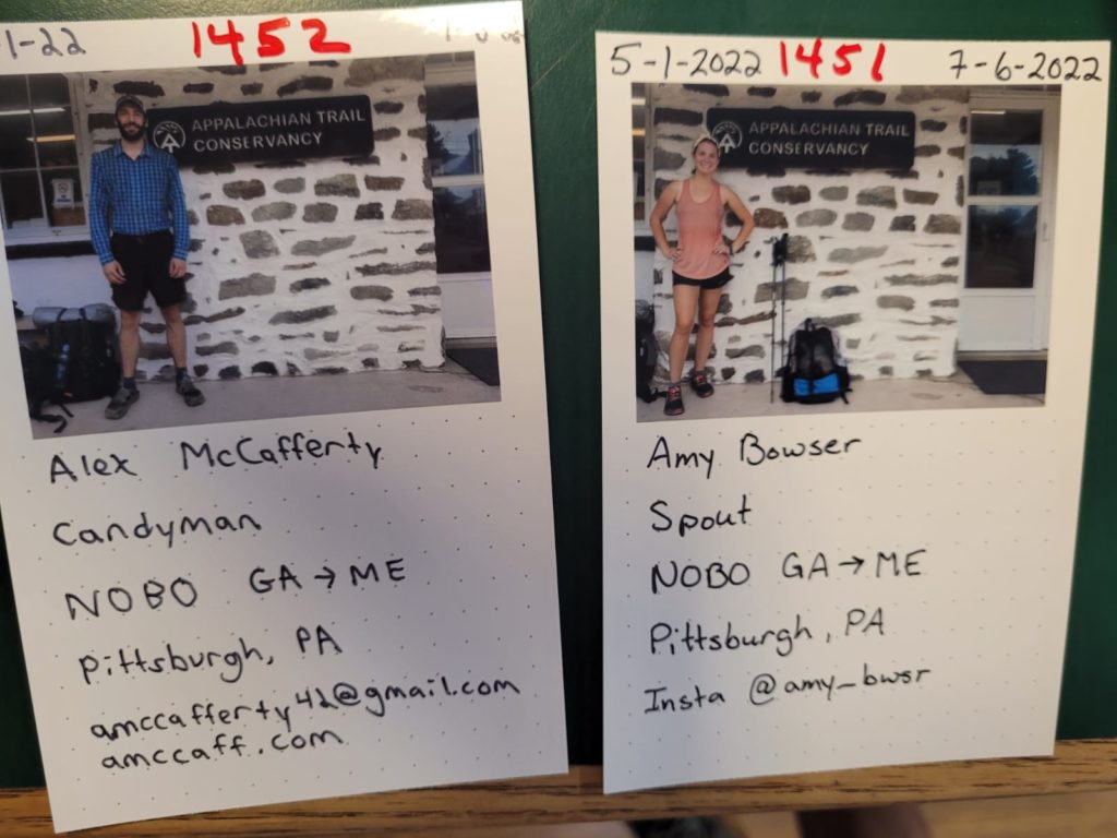
The trail re-entered the woods for a short while. We scrambled up another unnecessarily steep slope formed by flat, stair-like rocks and turned off a blue blaze that led into town towards the ATC. We crossed a quaint campus of one of America’s first black universities on our way. At the ATC, we saw a few dozen other thru-hikers gathered. At this point, hikers check-in, get their photos taken by the sign, and recieve a new number denoting how many people have reached the halfway point. Spout was #1451 and I was #1452, less than half of our starting numbers of #3162 and #3163.
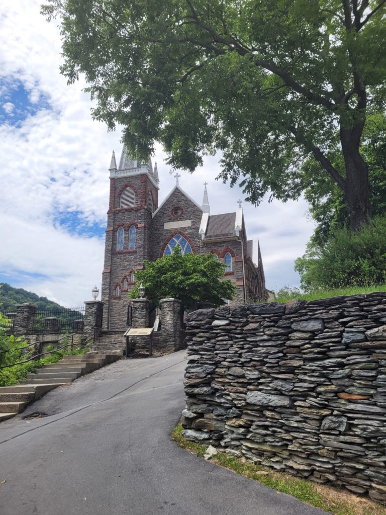
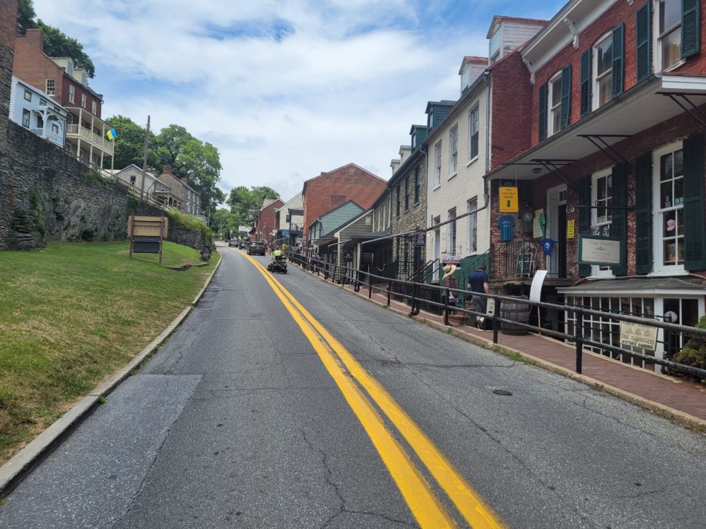
We walked down to Bolivar Bread Bakery, where we shared an unbelievable focaccia and what is arguably the best chocolate chip cookie I’ve ever had in my life. Then, we returned to the trail which led into the historical part of town. There were old churches, houses where Thomas Jefferson had stayed, and two parallel streets of shops and restaurants. It was a charming town and we enjoyed exploring the many interesting attractions.
After an hour or two, we walked to the Point where the Shenandoah and Potomac Rivers met (just like Pittsburgh!) and crossed the bridge that led into Maryland, our sixth state. The trail was totally flat along a gravel bike lane that took us to Cross Trails Hostel. We payed the owners a couple bucks for a shower and laundry and hung out on the porch with an entire crew of fresh faces. We met A.O., the Cousin Brothers, and even Tags, whom we only seen once on our second day on trail!
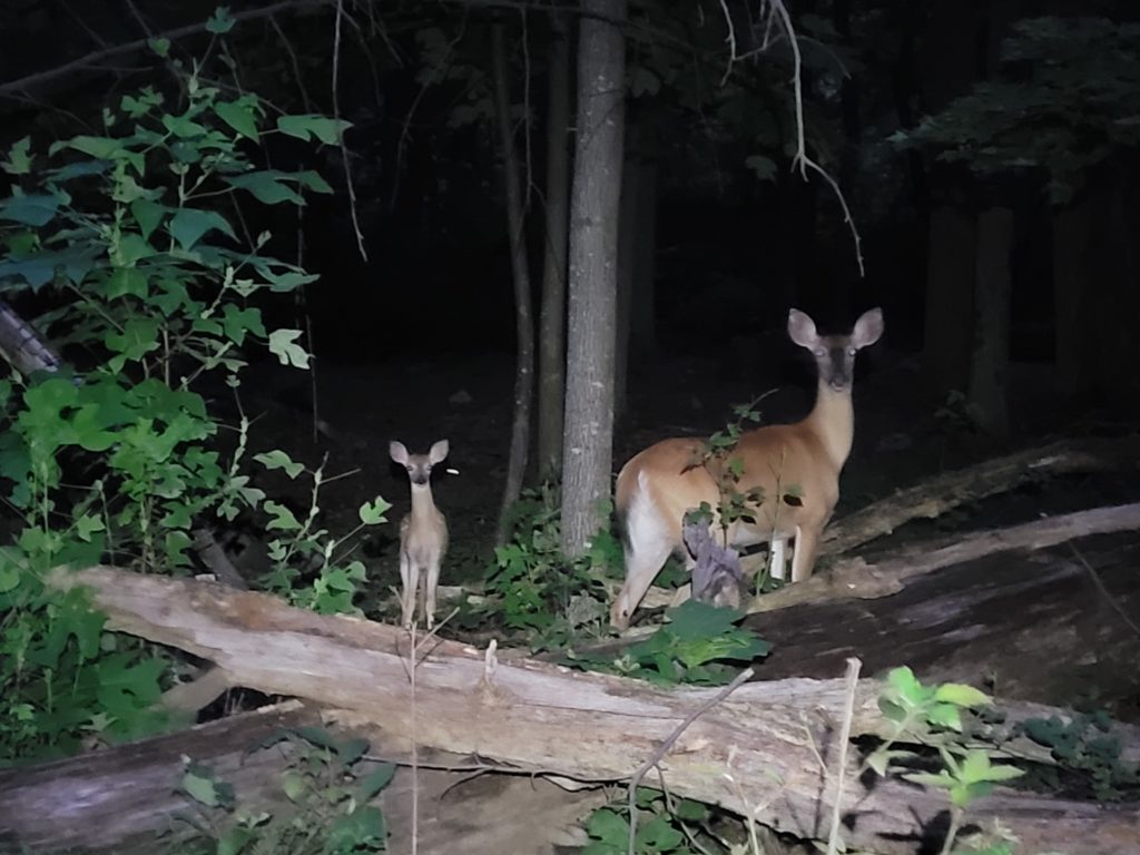
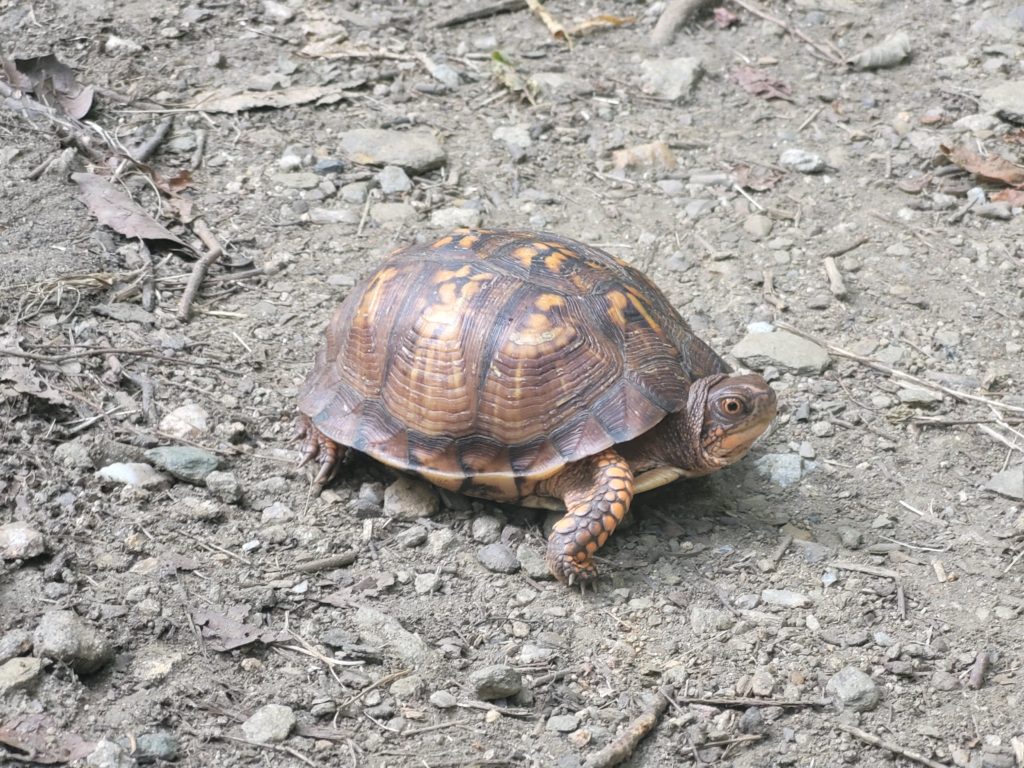
We left in the evening to get back on trail rather than pay for a bunk. It was 90 degrees and the humidity was reaching levels I didn’t think were possible. We slogged our way up the relatively tame hill leading out of town, wondering why we left the A/C at the hostel. We saw a red fox, a box turtle, and a massive black rat snake in the few miles leading out of Harper’s Ferry. The abundance of wildlife on trail is amazing and it’s always a nice reminder of one of the many reasons why hiking the AT is a dream come true. We stopped for the night at Edward B. Garvey Memorial Shelter, which had a wonderful, laminated wooden floor and a second floor loft.
Once it was already dark and we were nuzzled up under our quilts, a couple came into the shelter and claimed two spots. The man threw down his foam sleeping pad unnecessarily close to mine, despite plenty of space between myself and Easy Day, who was sleeping on the other side. Of course, he was a loud snorer, but even worse was that throughout the night he kept rolling on top of me! At one point after being woken up multiple times by the sweaty, foul stranger, I asked Spout to move her pad over a bit so I could leave more space. Even after moving over a solid twelve inches, he continued to roll towards me until his elbow jabbed me awake around 3:00am. Needless to say, I was not happy with him. Before I could call him out in the morning, however, the couple had already packed up and left. I’ve learned to accept that there are always going to be shenanigans when you opt to sleep in a shelter.
7/7 – Day 68
24.9 miles from Edward B. Garvey Memorial Shelter to Ensign Cowall Shelter
We had a late morning conversing with Easy Day about the mystery couple of chaos. After some light breakfast, we set off and reached Gathland State Park a few miles in. There was a museum, some ruins, and Gath’s empty tomb on site. Further along, the trail transformed into the flattest, most forgiving terrain we had yet set foot on. We put away twelve honest miles before lunch at a campground.
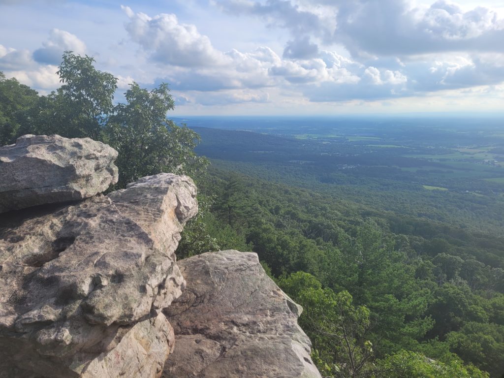
FUN FACT: the original Washington Monument was in Boonsboro, MD. The trail took us through the heart of the aptly named Washington Monument State Park, which boasted a huge stone obelisk built in 1827, over 40 years before the monument in D.C. Climbing the tower offered a great overlook of the checkered fields that constituted Maryland’s rural countryside.
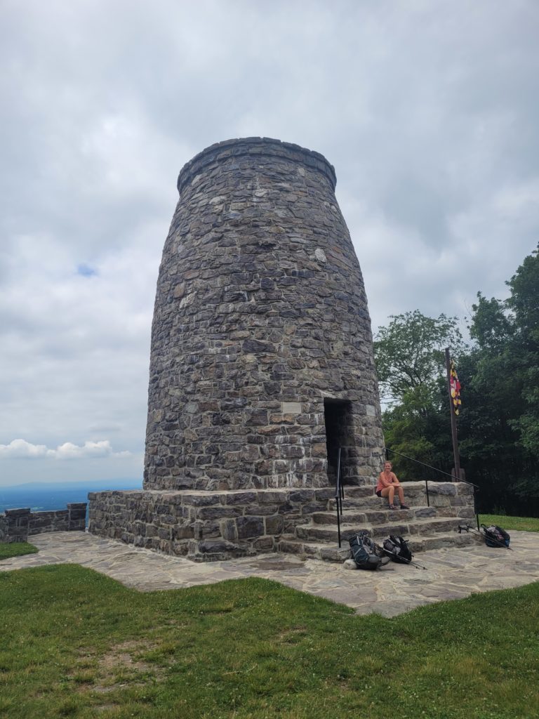
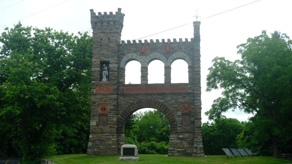
We passed through a few more state parks, many of which were strategic sites for Confederate Civil War generals. The trail took us up a ridge and viewpoint from Black Rock Cliffs, looking west to more farmland. We continued pushing forward, becoming fatigued despite the flat-ish terrain. With only three miles left before our planned stop, we navigated a long stretch of boulders and sharp rocks that slowed us down considerably. At last however, we reached the shelter just before it was too dark to hike anymore and collapsed onto our sleeping pads.
7/8 – Day 69
18 miles from Ensign Cowall Shelter to Tumbling Run Shelters
The remaining miles of Maryland were mostly flat, with sporadic patches of frustrating rocks. The woods were calm and pretty, but it was clear that the views from this point until we got closer to New England would be more subdued. In any case, the biggest challenge today, the last few days, and likely the next few weeks would be the excessive humidity. It was not overwhelmingly hot outside, but we found ourselves losing significant amounts of water after climbing minor hills.
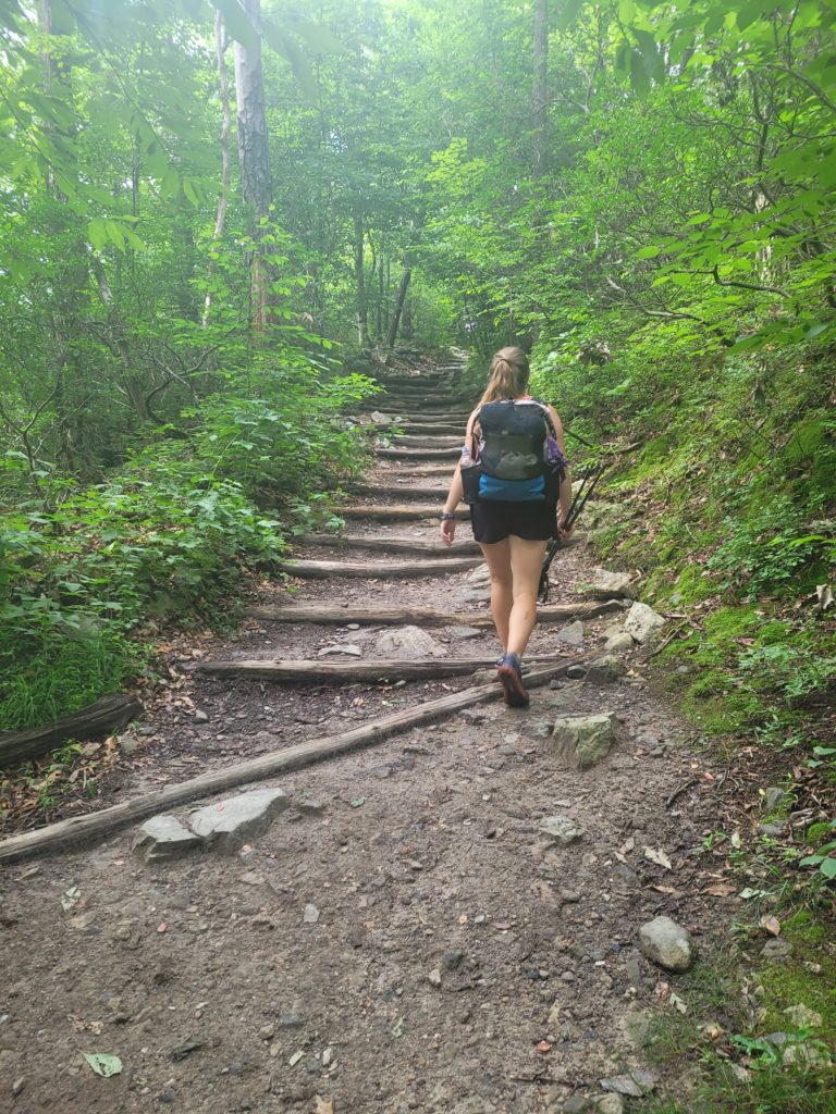
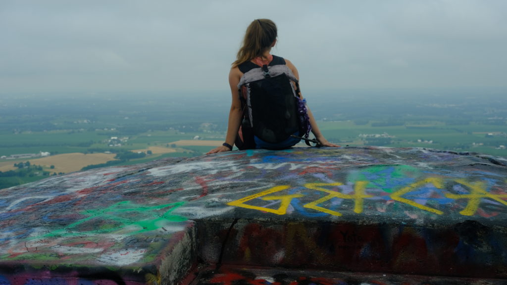
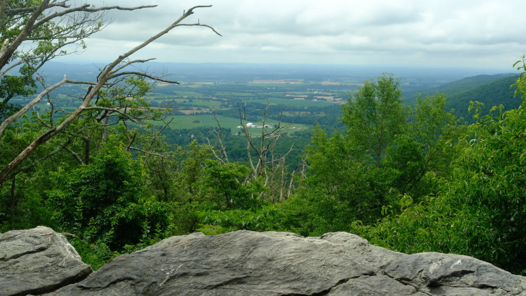
Working our way north, we traversed through a dense wood with a thick covering of ferns on the forest floor. After several miles, we took a short spur trail to High Rock Ledges. A heavily graffiti’d cluster of rocks overlooked an expansive, seemingly endless, valley of rural landscape. A nearby road gave access to hoards of motorcyclists, who were apparently visiting Gettysburg and the surrounding area for “Bike Week”. After leaving the rocks, there was a brutally steep descent of more large, loose rocks.
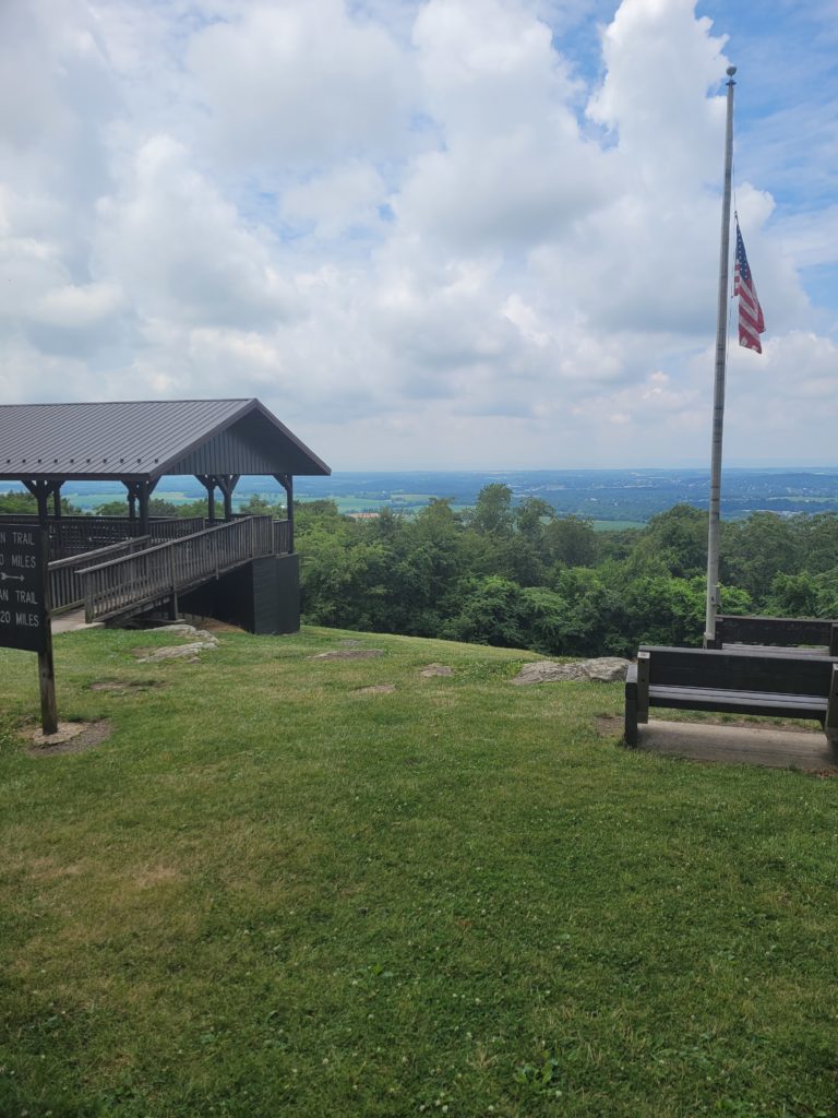
We were the closest we had ever been to running out of food, though we were not concerned. We held off on stopping for lunch because we had nothing appetizing left to eat whatsoever and we were hoping to make it to town for a hot meal. We continued hiking until we reach Pen Mar Park, a cute little developed picnic area with pavilions, restrooms, playgrounds, and a lovely view south into Maryland. After a brief stretching break, a hop, a skip, and a jump later, we were at the Mason-Dixon Line and officially crossed into our home state of Pennsylvania.
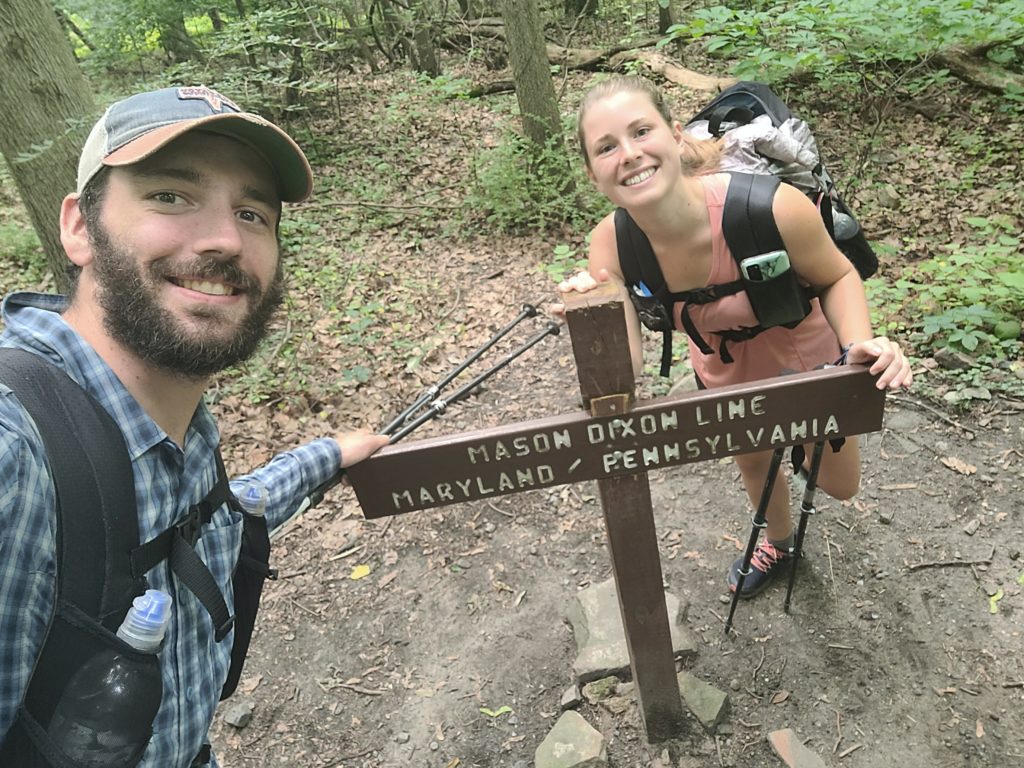
Hiking over 1,000 miles back home is a pretty surreal experience. Spout asked me what I wanted to do now that I was back in PA. I answered, “Go to Sheetz”. Fortunately, there was one right next door to the Walmart in Waynesboro, PA that we hitched to for a resupply. We ordered shnack wraps, burritos, milkshakes, and beer and spent nearly three hours sitting in the A/C in total comfort. Eventually, we managed to leave our safe space to go back to the dark and gloomy woods, just as a rain storm rolled in. Feeling refreshed regardless, we traveled another five miles before night settled in and we stopped at Tumbling Run Shelters. Waiting there were Happer and Cinderella and we caught up with them while huddled in the shelter to stay dry.
7/9 – Day 70
15.5 miles from Tumbling Run Shelters to Middle Ridge Rd
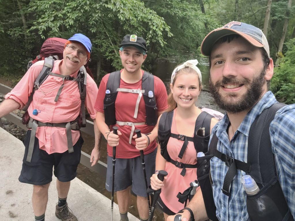
My good friend Tim and his dad Chris, whom I’ve hiked with for many years, drove from Pittsburgh to spend the weekend hiking with us! After a brief confusion in our meet up location, we walked from the shelter to Old Forge Rd to meet them. They brought along some trail magic with a large variety of snacks, Gatorade, and fresh watermelon, a regular craving of mine. It was so awesome that they came to visit and we were pysched to hike part of the trail with them. As it goes, the rain from the previous night continued all morning long after our group left the shelter around 11:00am. Welcome to the AT.
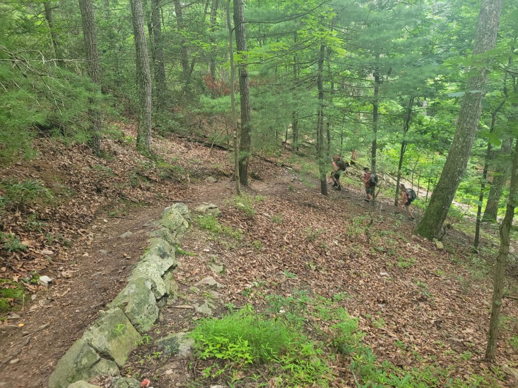
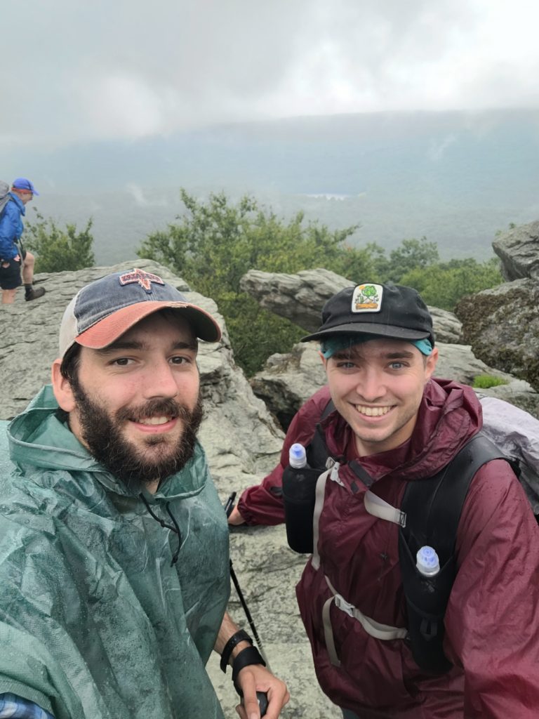
Tim and Chris are no strangers to backpacking, so it was great that we could hike at our standard pace right from the get-go. The terrain also just happened to be particularly flat with few rocks or roots obstructing the trail for most of the morning. We scrambled up a short spur trail to Chimney Rock, where the view of the surrounding hills was mostly clouded over but formed a neat aesthetic with the mist. Afterwards, we continued steadily into the afternoon, catching up with our friends about life on trail and how things have been back home.
As we neared Caledonia State Park, we saw rows of cars and tents with vendors. It turned out that a craft festival was just wrapping up. Unfortunately, we didn’t have much time to shop around, but we did manage to snag some ice cream and freeze-dried cookie dough before they closed up shop. The four of us sat on a picnic table along Conococheague Creek as we ate, then played hacky sack with Tim’s million dollar brain child, the “packy sack”, which is a hollowed out, DCF sack that can be filled with rocks to make a surprisingly usable footbag. Also important, we found a book called “Bratfest at Tiffany’s” in the mini pop-up library that is now at the top of my reading list.
We reached Quarry Gap Shelter, with Morpheus and Dry Oats finishing up a chess match on their “trail zero”. We could immediately see why they chose this spot. The shelter area was incredibly well maintained. The shelters and fire ring were surrounded in a bed of blooming mountain laurel. There was a swinging bench, potted plants, and even an automatic air-freshener that sprayed in the privy when you walked in. Complete with an ice-cold spring nearby, it was an oasis among the dry, tall grass fields and stands of fir that populated most of southern PA.
Spout and I wanted to make it a bit farther so we could reach Pine Grove Furnance the following day, so we continued hiking until we reached the next campsite on the ridge. There was one couple already camped there who appeared to be burying a dead body or just digging around in the dirt for fun. We pitched our tents and built a toasty fire to fend off the chill that had crept in after the rain. A campfire and good company is really what it’s all about at the end of the day.
7/10 – Day 71
21.2 miles from Tumbling Run Shelters to Tagg Run
Tim realized that he forgot the insoles for his trail runners at home and had been hiking with no padding under his feet for the weekend. We certainly weren’t going to let him live that down easily but he refused the name “Souless”. In any case, we made our usual banter in the morning while hiking down off the ridge. Today, we traveled another pleasant stretch of clear, wide trail through the thick Pennsylvania forests.
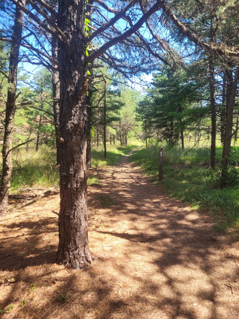
After several miles, we reached a rather unimpressive paper sign denoting the halfway point of the Appalachian Trail! 1097.15 miles south to Springer Mountain and 1097.15 miles north to Mount Katahdin. 71 days on trail later, and we were finally closer to the finish line than where we started. Surprisingly enough, it was sort of anticlimactic for the both of us. Perhaps it was watered down by the other major milestones we recently surpassed, such as leaving Virginia, reaching Harper’s Ferry, and hiking 1,000 miles, or perhaps we were terrified that we’ve only gone halfway on this hike that will never end.
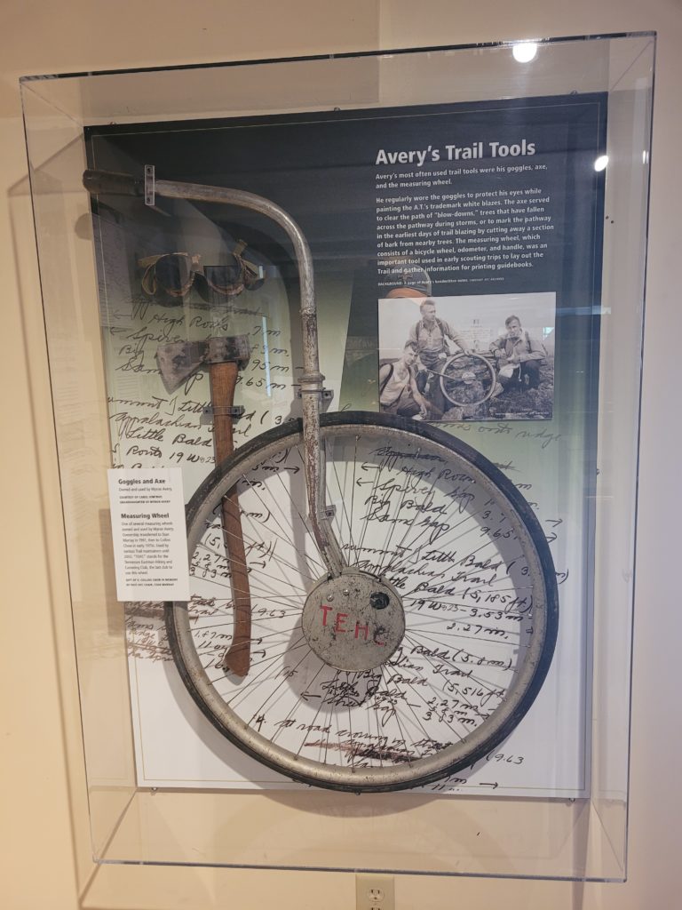
From this point, Spout and I had stopped eating snacks in preparation for the half gallon challenge in Pine Grove Furnace State Park, where hikers attempt to eat a half gallon of ice cream in one sitting to celebrate halfway. When we rolled into the park a few hours later, we were devasted to find they had run out of all flavors except orange sherbert. Defeated before we had even started, we passed on the ice cream and ate burgers with Tim and Chris as they waited for their shuttle driver to arrive. In the meantime we toured the Appalachian Trail Museum, which housed a number of fascinating pieces of AT history, including Myron Avery’s measuring wheel and the original sign that stood on Mount Katahdin.
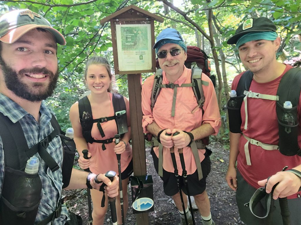
Tim and Chris’ ride pulled in and we said our goodbyes. I have to say, it was great to hike with familiar faces for the weekend; it made hiking feel like it did when I first fell in love with it. After they left, we walked down to take a dip in Fuller Lake, which was infested with screaming children, then showered in the bathhouse. We managed to put away another six miles in the evening, making it to a peaceful campsite along Tagg Run. We ate dinner in the company of two girls we met for the first time, Star and Pearwood.
What’s Next?
A bit behind on posts, but the next week should be ready soon. We get to enjoy the cruisy terrain of our home state for a week before the infamous rocks are supposed to begin.
Stay Dirty,
Candyman & Spout

Loved this post and the wonderful descriptions of the trail. What an awesome experience you both are having. A dream coming true!! I am the happiest Grandmother in the world for y’all! Hiking is my love and blessed to know that is also yours! Prayers for continuing safety and more miles accomplished. You got this!!