5/5 – Day 5
11.1 miles from Tray Mountain to Hostel Around the Bend
Today, Amy and I had to make a difficult decision: we were getting off the trail.
We made it nearly 70 miles, a day short of the GA/NC line and had the time of our lives while doing so, but we were out of food and needed to go into town to get more!
But first, we needed to hike eleven more miles. There was a stunning sunrise from the top of Tray Mountain as we packed up our tent at 6:15am and hit the trail. It was the hottest day yet, flirting with a high in the low 80s without a cloud in sight. Fortunately, the hike was mostly downhill as we worked our way down to the nearest road to Hiawassee, GA.
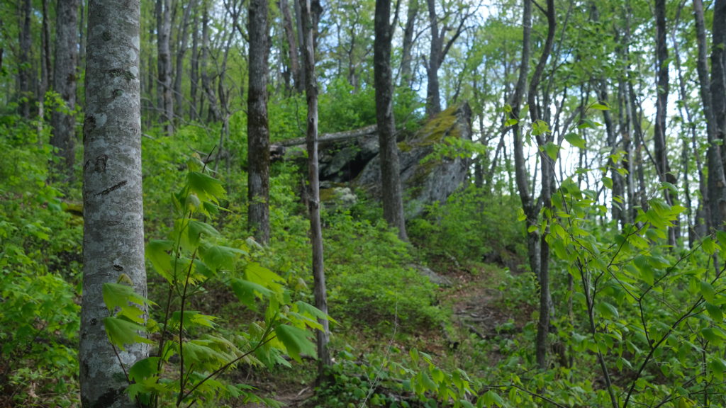
We deleted the first five miles to the base of Kelly Knob. Trying to keep up the momentum, Amy and I tried a new strategy for the 1000′ climb. We tried to recall as many state capitals as possible as we hiked. It’s hard to focus on how exhausted you are when you’re thinking of the capital of Missouri or arguing whether Seattle is really the capital of Washington (it’s not). Before long, we conquered Kelly Knob and passed Deep Gap shortly after.
We decided to push to Dick’s Creek Gap parking lot before taking lunch so we could eat a hot meal. Near the bottom of the descent to the road, we passed a familiar face. Roy was hiking up the hill (again!) and offered us more fruit at his truck. Three days in a row, this amazing gentleman had met us at different parking lots for some trail magic. He then loaded us into the bed of his truck and drove us to the hostel. I can safely say I had an authentic southern experience in Georgia. Thanks, Roy.
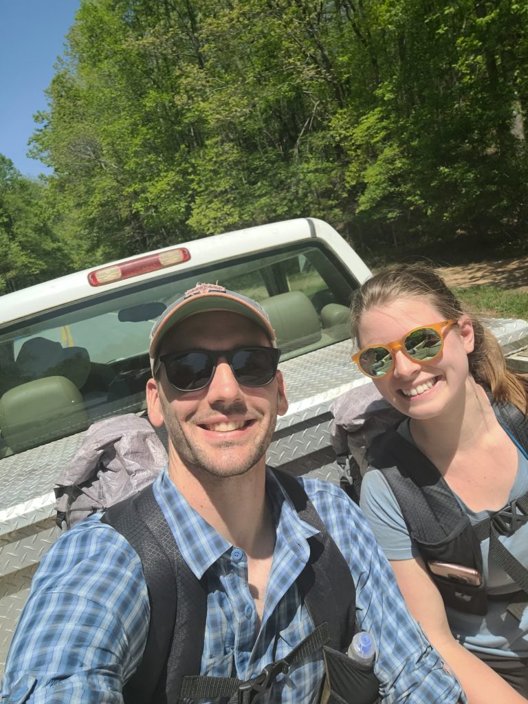
Hostel Around the Bend is a newer hostel ran by Gordon and Lisa, layed out in two separate houses with a mixture of private and bunk rooms. It truly feels like you’re just living at home! It had two kitchens, laundry, and even some loaner clothes we wore during our stay. They shuttled us to town for free so we could resupply. A group of us went in on burgers, hotdogs, rice, and lentil stew and we made a feast for dinner. Afterwards, we sat by the fire as Danielle, a woman helping out around the hostel, played guitar and sang beautiful folk tunes late into the night.
Almost heaven, West Virginia
Blue Ridge Mountains, Shenandoah River
Life is old there, older than the trees
Younger than the mountains, blowin’ like a breeze
5/6 – Day 6
0 miles
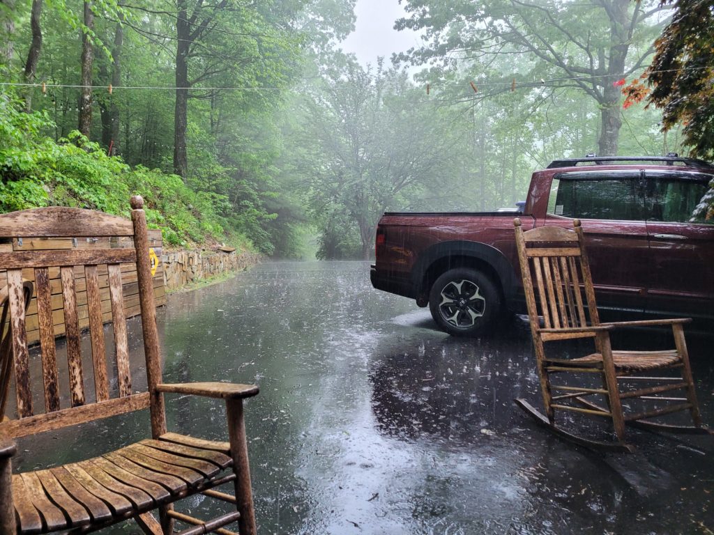
We couldn’t have picked a better place to spend our first zero day. The forecast was a complete wash, rain, rain, and more rain. We slept in as late as we could. Then, our group made two tall stacks of pancakes, a package of bacon, two dozen eggs, blueberries, and a muffin loaf that we found in the hiker box. A good ol’ fashioned American breakfast was the perfect remedy to achey bodies.
Freckles was another hiker staying at the hostel. She happened to be a professional yoga instructor for many years and led a “Hiker Yoga” session that afternoon where we learned some new flows.
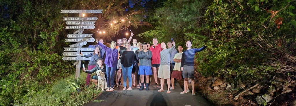
The rest of the day included a whole lot of nothing except for hanging out and relaxing with some awesome folks. We made one last trip into town to grab some beer at Hiawassee Brew.
Since we decided last minute to stay the extra night, the private room we had stayed in the night before was booked. Onion and Alpha, a father and daughter duo who were section hiking, offered for us to stay in their bunk room. A bonus was that we got to play with their adorable golden lab, Masha.
5/7 – Day 7
16.7 miles from Hostel Around the Bend to Standing Indian Shelter
After a night of Masha keeping me awake by hopping from bunk to bunk to cuddle (worth it), I had little rest as we prepared for the 8am shuttle out of Around the Bend to Dick’s Creek Gap. The zero day didn’t feel strictly necessary, but I think it will be best for my body in the long haul. My feet, ankles, and knees all feel pretty good, save some expected sourness from the sudden increase in activity. We felt ready to hike even as the rain from the previous night continued steadily into the morning.
Ten of us packed into Gordon’s van and we shuttled a half mile to the trail- happy to avoid even a short road walk with speeding vehicles. We got back on the trail northbound with plans to cross into North Carolina before lunch. Amy and I hiked with Onion, Alpha and Mosha of course, along with Happer, Webs, and Styrder.
The remaining miles out of Georgia were relatively easy. We came out of Dick’s Creek Gap and immediately started a gradual climb over to Bull Gap. Light rain and fog began to build on the trail. We hiked the first nine miles quickly and before we knew it had completed our first state!
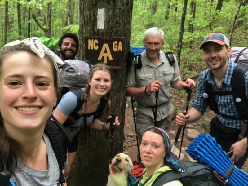
Stepping into NC was almost comical, as the fog doubled down and temperature seemed to drop, all while the trail shot steeply up towards Muskrat Creek Shelter at 4,500′ in elevation. It was as if the North Carolina section was symbolically ramping up the difficulty, “abandon all hope ye who enter here”.
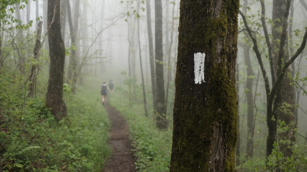
Our next milestone is to push forward a few more days to reach the Great Smokey Mountains.
We climbed a number of relentless hills before reaching the shelter and taking lunch at 1:00pm. Originally we planned to stay at the Muskrat Creek shelter. But after eating a huge lunch consisting of a buffalo chicken tortilla, a peanut butter tortilla, chocolate covered almonds, and a random assortment of protein bars, I felt energized and our group decided to continue five miles to Standing Indian shelter. The rain picked up and the temperature hung in the low 40s.
We reached the Standing Indian shelter around 4:00pm. Stryder shared some whiskey with those wanting to warm up as we dried out under cover of the shelter’s canopy. We hung out for a while as dark approached. We were now in the “Bear Can Strongly Recommended” territory and only one person at the shelter had a can. The rest of us needed to do a food hang. Most shelters up until this point had either bear cables or a bear box. Rumor floating around was that eight bags of food were stolen in one night last week around mile 90, a lone 600lb black bear was the culprit.
5/8 – Day 8
23.5 miles from Standing Indian Shelter to Skyvue Ranch
Fortunately, we had no close encounters of the bear kind that night. However, the next few campsites had numerous reports of bear sightings: Beech Gap, Carter Gap shelter, and Long Branch shelter. At a minimum, we needed to make it past Long Branch and just happened to be within spitting distance of Winding Stair Gap, the nearest access point to Frankin, NC where we had plans to stay with Amy’s Grandma Carol. We commited that morning to our longest hiking day yet.
Over the river and through the woods to grandmother’s house we go…
It was a cold morning and the fog showed no signs of clearing up as we climbed the remainder of Standing Indian that morning at 7:30am. Along the following ridge we found ourselves walking above clouds to the east that broke against the mountain and gave way to expansive views of the Nantahala Wilderness to the west. As we dug in farther, the fog shrouded everything. Carter Gap, the notorious bear haven, looked like it came out of a horror movie, complete with fallen trees, excessive bear scat, a dense cover of fog, and posted warnings for hikers to take caution.
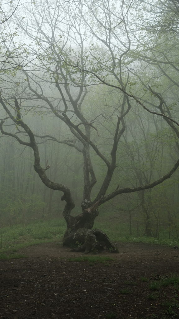
We continued our hike, summiting Albert Mountain to find the fire tower looking out into an endless white void. Regardless, we were elated to have completed 100 miles of the Appalachian Trail! Amy’s grandmother told us to wave from the fire tower because she could see it from her porch. At this point, we had already hiked about 15 miles and had 9 more remaining. We took a short lunch and pressed on.
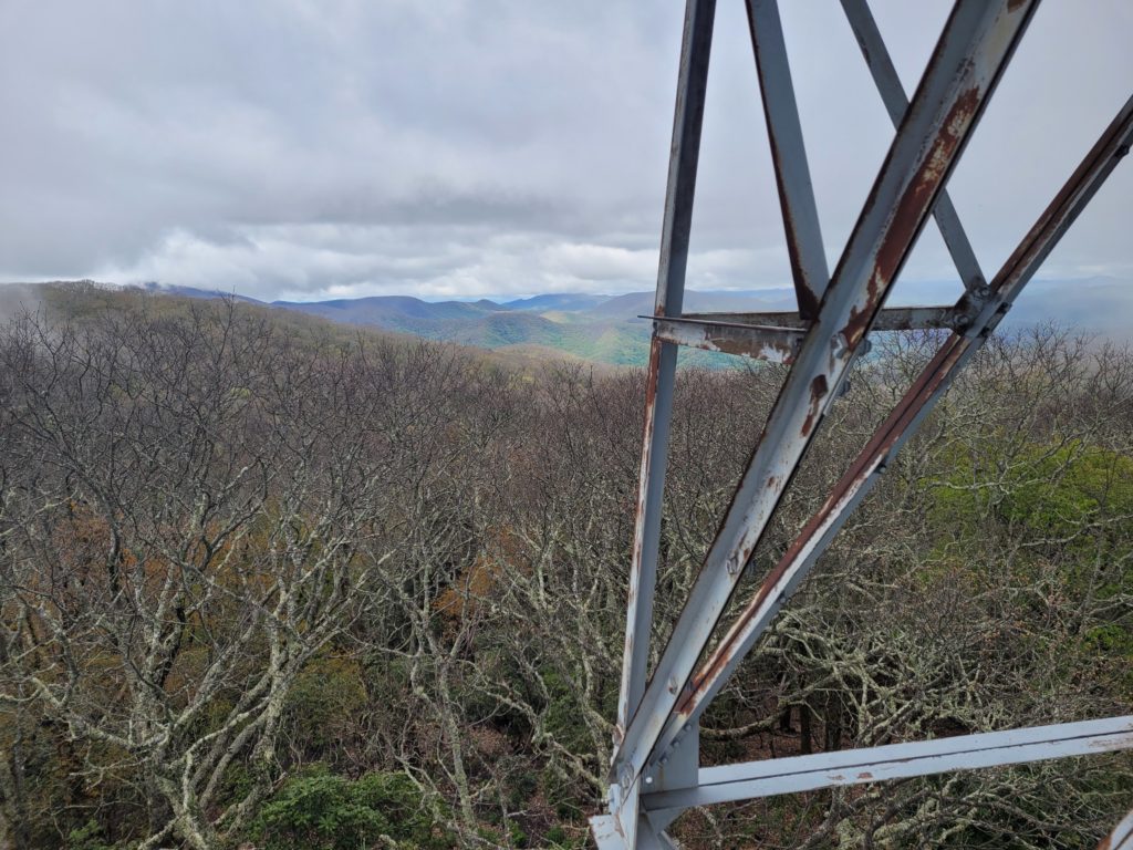
The terrain from Albert Mountain onward was more forgiving, favoring a steady descent, as is often the case when approaching a road junction leading to a town. We passed Long Branch shelter, which appeared to be one of the most well-constructed shelters of the trail thus far. From there, we followed another long down-climb past Rock Gap and eventually reached Winding Stair Gap at 5:20pm.
Grandma Carol was waiting at the bottom taking pictures as we approached and gave us a warm greeting. She was overjoyed that we were hiking the AT. We hopped in her SUV and rode to her house in Franklin: Skyvue Ranch alpaca farm.
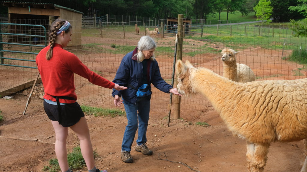
Exhausted from our day’s hike, we ate a healthy portion of spaghetti and meatballs. Then, we showered and caught up for a short while before retiring to bed.
5/9 – Day 9
15.8 miles from Skyvue Ranch to Cold Springs
We took our time to enjoy Grandma Carol’s house. After a big breakfast, we did a proper tour of the property, then went to greet the alpacas on the farm. She owns over a dozen alpacas, including a baby, Rocky, and a guard llama. Fun fact: llamas are strong enough to kill wolves and will naturally assume a guardian position when living with their close relative, the alpaca. The alpacas were adorable. Although a bit timid, they will eat out of your hand if you hold out food. Carol sheers their fleece when it grows long enough and sells a variety of products in a shop.

As midday grew nearer, we knew it was time to say goodbye. She drove us back to Winding Stair Gap and we got started on the trail by 12:00pm. Despite the late start, we were refreshed from a good night’s sleep and needed to hike at least 11 miles to Wayah Shelter. The heat crept up to 80 and there was no chance for fog in the beautiful sunny weather.
We climbed out of Winding Stair Gap for several miles onto a ridge. A spur trail led farther up through a clearing of trees onto Silar Bald. The advice of No Dog echoed in our heads because he specifically mentioned not to skip Silar Bald. The short climb was worth it and we saw a splendid panorama of countless mountains in the distance.

Next, we descended the bald and worked our way towards the second landmark of the day: Wayah Tower. The trail leading to the tower was designed by engineers to be the minimum possible steepness that is still difficult enough to make you want to die. It dragged on and on and starting the hike in the heat of the day made the sweat come in buckets. At last, we reached the stone tower and saw another spectacular view.
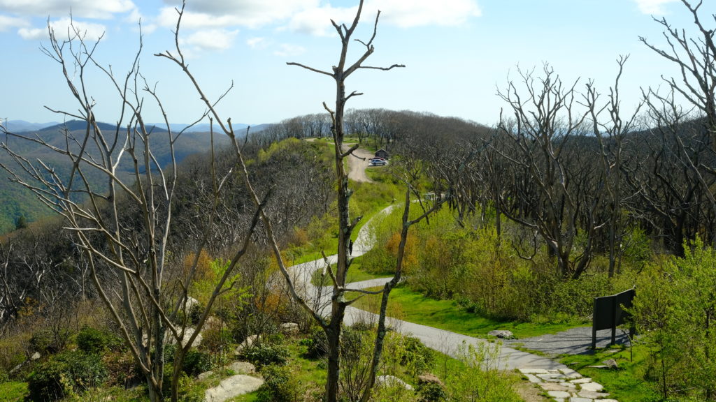
The Wayah shelter was not much farther down the hill. We arrived around 5:00pm. Since we had somewhat fallen behind our group, we wanted to reach the NOC (Nantahala Outdoor Club) as early as possible the next day. We decided to push ahead five miles to the next shelter. It was not fun, but we dragged our still-recovering-from-a-twenty-four-mile-day bodies to Licklog Gap and back up to the next marked camping area at Cold Springs by 7:15pm. We completed our camp chores and went to bed under another beautiful sunset in the mountains.

Awesome 👍 love u guys, mom