6/8 ‐ Day 39
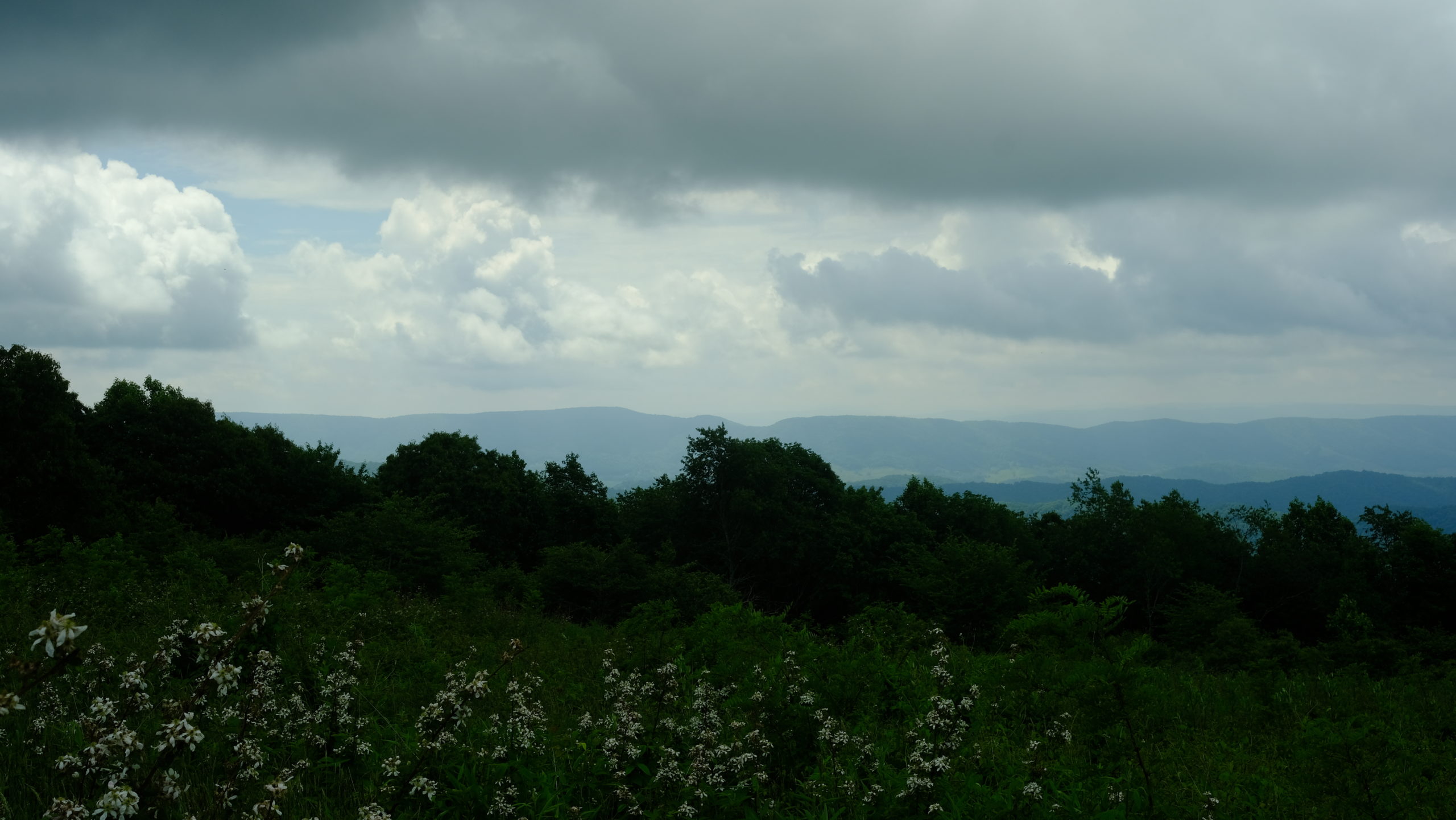
20.1 miles from Knot Maul to Jenkins Shelter
We lazily refused to walk down a steep 0.2 mile spur trail to get water at the shelter, opting instead to pack up and eat our breakfast at the Knot Maul Branch a mile further north. I was sitting on the bridge over the steam, mid-bite on a cinnamon pretzel Pop Tart when it started to rain heavily. It was going to be one of those days.
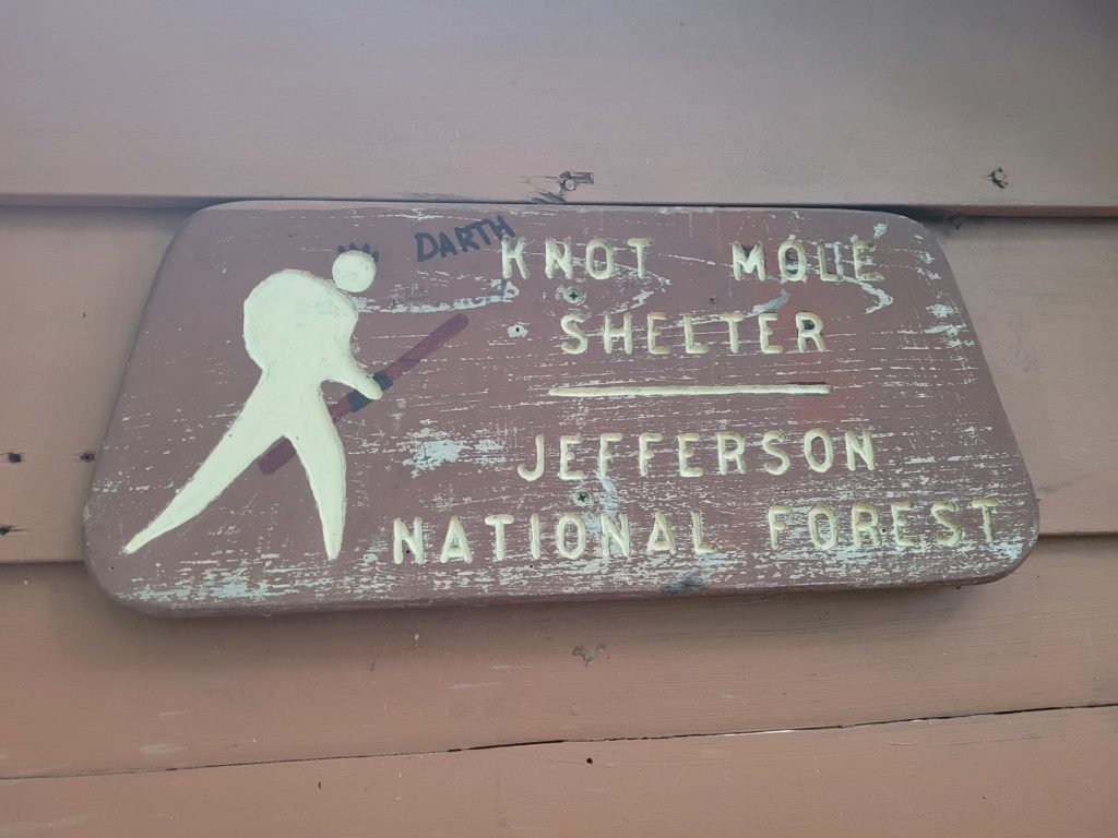
On deck, we had a 500′ warmup climb before a five mile slog to the top of Chestnut Knob. Between the two was Lick Creek, which used to crossable by a bridge that was washed away in 2020. We had to do our first ford of the trail to get across. At this point, the rain had ceased but the skies remained mostly overcast the rest of the day. We ran into a couple that warned us that five hikers at one of the nearby hostels had norovirus and we began to take extra precaution by washing our hands more frequently and avoiding privies.
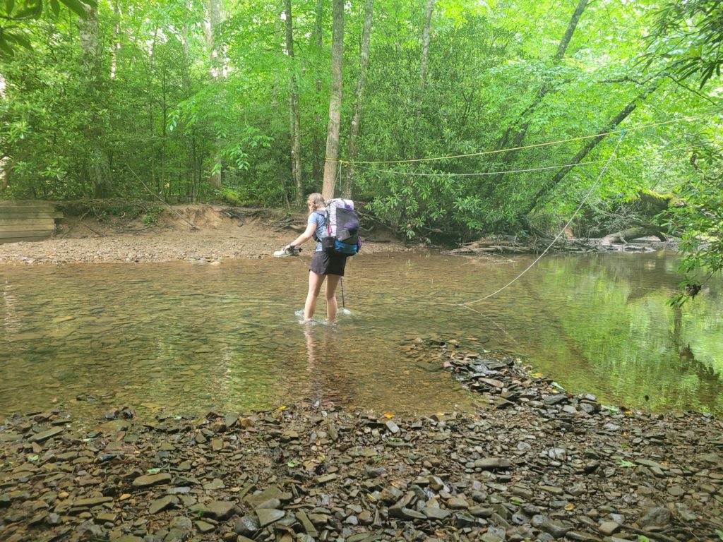
Spout fording Lick Creek
The running joke on trail is saying that “Virginia is flat”. Some hikers believe it gets easier once the mountains shrink, but it is certainly not the case. Overall, the elevation looks easier on paper but the trail still seems to avoid anything remotely considered “flat”. The climb to Chestnut Knob was quite strenuous. It was a few hours of trudging uphill before we popped out of the trees and came upon a pond that sat peacefully next to an overlook of the surrounding mountains. Spout and Happer decided to go swimming. I did not because it looked gross. As they were drying themselves off, three butterflies landed on Happer’s sock all at once. If those poor butterflies thought his putrid sock was a flower then I feel very sorry for them.
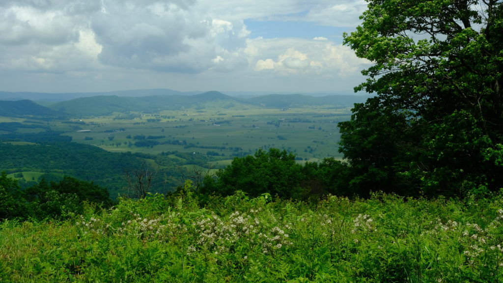
We completed the two remaining miles of the hill and took lunch at the shelter. Afterwards, we descended the knob and continued several miles over continuous ups-and-downs. The rain restarted and back on went our ponchos just as the terrain transitioned to steep downhill over loose rocks. I took my third fall of the hike when I placed my right foot on a slanted root, got absolutely no purchase, slipped and knocked my knee hard against the ground. It was one of those days.
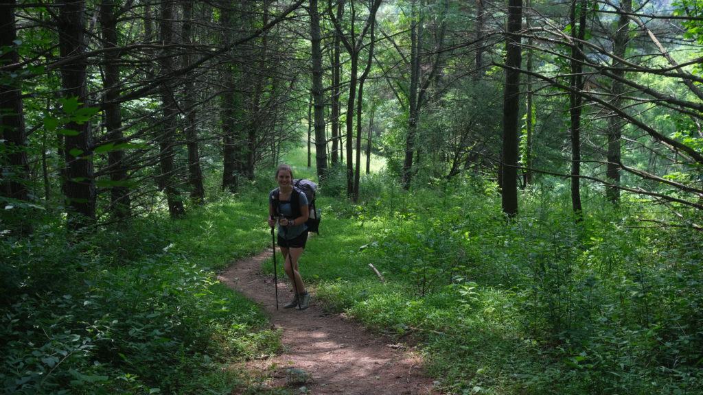
We made it to the shelter around 6:00pm and claimed two spots to dodge the overnight rain that was forecasted. Despite passing few northbounders since we left Damascus, the site was packed with people. Some of them said they were camped there all day dealing with the stomach bug that was working its way around. Spout and I both ate our dinners and felt great as we crawled into the shelter to go to sleep. Out of nowhere, Spout began to throw up. As a courtesy, we pitched our tent and she slept alone, blowing chunks in intervals of twenty minutes out of the tent vestibule.
Around 1:00am, I started throwing up too. It overtook me unbelievably fast. One minute I felt fine, the next, well, let’s just say it was the beginning of a miserable night. Everytime I switched sleeping positions, it would trigger intense nausea and I would quickly hop out of the shelter to vomit into a grocery bag. At one point, maybe sometime around 3:00am, I left the shelter to hurl just as the rain picked up and began to soak my fleece – my only dry layer. Then, while squatted down, I got a charlie horse mid-dry heave. Rain, vomit, and cramping: the trifecta of suck. It was one of those days.
6/9 ‐ Day 40
4.4 miles from Jenkins Shelter to Best Western Wytheville Inn
Noroviruses outbreaks have been occurring on the Appalachian Trail for years. It is typically spread through vomit and stool of infected people, often times contaminating water sources and privies. We spoke to a few of the other sick hikers and believe the hose from the pavilion at the Settlers Museum might have been the common denominator. Otherwise, it could have just as likely been any of the streams we filtered from, since viruses are not removed from water even after ultrafiltration. It is so difficult to control the spread when you have large groups of hikers drinking from an inconspicuous, contaminated water source who feel perfectly fine until they begin to throw up with nowhere to go.
The vomiting for both us ceased late in the night. Still, we slept about as poorly as anyone would stuck in the middle of the woods with a stomach infection. In the morning, we felt marginally better and decided our best course of action was to head to the nearest road and get to a hotel for the night. However, this meant hiking four and a half miles, including a steep climb out of the shelter area onto a ridge between the road. Our stomachs were empty and we had no appetite or desire to drink water, since we feared it would be contaminated. Sick, dehydrated, and energy deprived, we toughed out the miles and made it to the small road, VA 615, where we had arranged a shuttle to pick us up and bring us to town. Except, there is more than one spot that the trail crosses VA 615 and due to a miscommunication, our shuttle driver was over thirty miles away at the wrong road crossing. Fortunately, a woman driving along the road saved the day and offered us a ride to town for some gas money.
We made it to the hotel and slept for most of the day. We felt horribly nauseaus with low-grade fevers but there was no more vomiting or diarrhea for the rest of the day. We each ate half of a Subway sandwich and our stomachs managed to hold it down. Originally, we had planned to hike consecutive twenty mile days and reach Pearisburg for a resupply, but we instead ended up watching reruns of The Office in bed and passing out at 9:00pm. A Mike Tyson quote comes to mind: “Everybody has a plan until they get punched in the mouth.”
6/10 ‐ Day 41
19.9 miles from Best Western Wytheville Inn to Prince Ridge Rd
We left our clean hotel room with a soft, king-sized bed, all while fighting off the remnants of a stomach virus just to get back on the trail as soon as possible. Collectively, we felt much better and were confident enough to fill up on pancakes and toast at the continental breakfast before calling a guy named Bubba for a shuttle at 11am. We got dropped off thirty minutes later, effectively only losing 22 hours to the sickness.
Oh a 24 hour stomach bug? I beat it in 22. – Spout
We didn’t plan to make it very far, all things considered. However, we were about fifteen miles from the 600 mark and were eager to breach another milestone. We hiked with surprising gusto for the first seven miles, coming across a handful of pleasant views of the westward mountains. Then, we came onto a dirt road that led a half mile to the Brushy Mountain Outpost.
A group of hikers were congregated under a pavilion outside, including our friend Season Pass, whom we haven’t seen since Hot Springs, NC, as well as Songbird, T.C., and Stuntz. We briefly caught up then went inside for food. They served us two oversized scoops of ice cream for only $4. Ice cream cravings go beyond worries of an upset stomach.
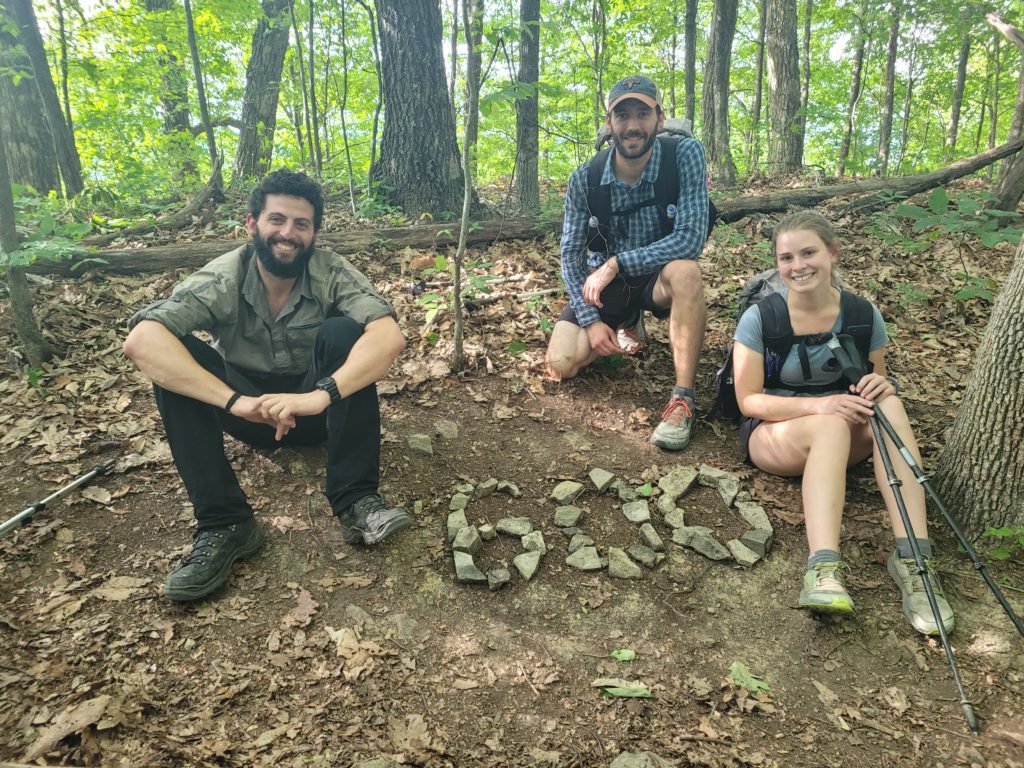
We left the outpost and continued following the road for a short way. I was walking along a narrow path outside the guard rail when my pants snagged and tore along the right seam. The most absurd events occur to ruin gear out on the trail. We kept chugging along, amazed that the ice cream only induced minor discomfort, and eventually reached the 600 mark!
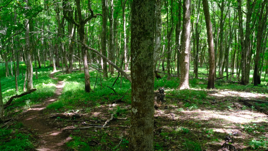
The terrain was easily manageable, which helped us continue pushing forward past a dry stretch to Jenny Knob shelter. It turned out the spring at the shelter was also dry. We hiked a mile farther up the trail and found a stream with a slow trickle that Spout turned into a reliable faucet using her engineering prowess. We snagged a nice campsite just past it then slept like dead baby logs.
6/11 ‐ Day 42
22 miles from Prince Ridge Rd to Cliffs near Doc’s Knob
The morning began with a two mile warmup climb and then a gradual descent to Kimberling Creek where we crossed a wobbly suspension bridge. We decided to head a few miles further to a place called Dismal Falls for lunch and a break. As we followed a short blue blaze spur trail to the water, it began to sprinkle despite no rain in the forecast. I suppose I should have expected it to be dismal…
In reality, the waterfall was amazing. The current flowed from a fifteen foot tall cliff and cascaded off some mossy rocks into a large swimming hole. The rain cleared up quickly and we decided to go cliff jumping with Season Pass. The water was frigid, but submerging yourself in cold water after hiking ten miles is exilerating. I made at least three leaps from various heights before I had my fill. Then, we air-dried our bodies while taking lunch on a large, flat rock on top of the falls.
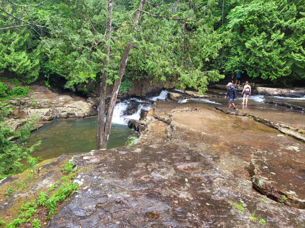
We continued hiking several miles along the creek over soft mud shaded by rhododendron. Then we made a legitimate climb to Sugar Run Mountain which was decorated with vibrant patches of flame azalea. This mountain was today’s lucky winner of the mid-day slog.
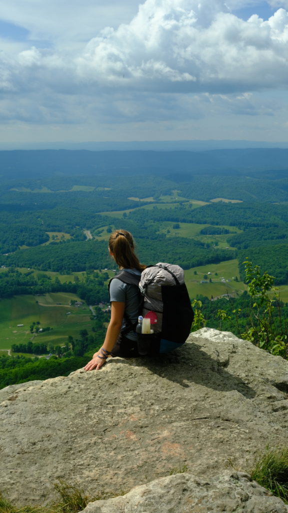
Perhaps we felt like we still had something to prove after the virus knocked us off trail for a day, but we wanted to keep hiking as far as our legs would take us, even as fatigue began to set in. Long gone were the days of rolling into camp at 4:00pm. It was nearly 8:30pm by time we decided we could go no further and stopped at an unexpectedly gorgeous stealth site with some cliffs overlooking Wilburn Valley.
6/12 ‐ Day 43
10.2 miles from Cliffs near Doc’s Knob to Angel’s Rest Hiker Haven
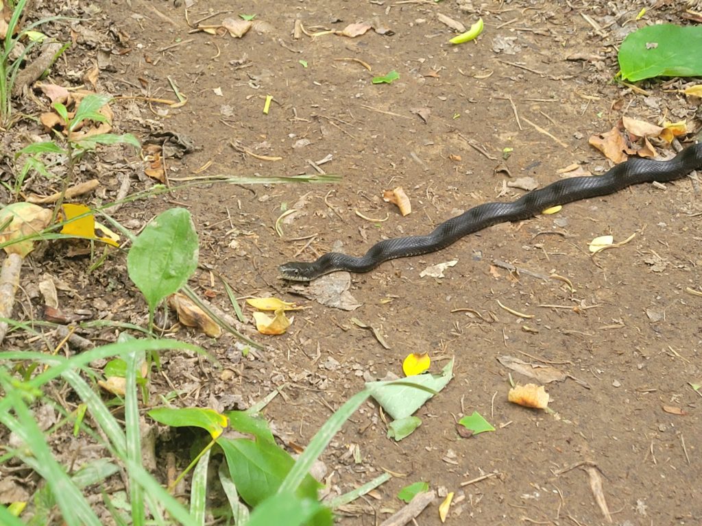
We worked our way along the remainder of the ridge in the morning, eager to get to Pearisburg, VA where we were expecting a care package. For the first time since I had gotten sick, I felt like my appetite was starting to return and I was hungry. We hiked for several miles in the morning when all of a sudden, Spout came right upon a rattlesnake basking in the sun in the middle of the trail, angrily rattling away. This one had an interesting color pattern, the upper half was golden and lower half black. It was maybe three feet in length and thicker than a bowl of oatmeal.
We gave it some space but it just returned to sunning itself contently. Again we approached and again it reacted by curling up in defense. We waited close to ten minutes and it still hadn’t left the trail and bushwacking around it seemed impossible. I could not believe that we were being pace-locked by a reptile. Eventually, however, it granted us passage.
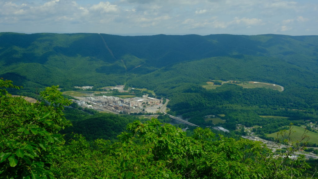
We continued our morning hike to Angel’s Rest: a rock formation with an overlook of Pearisburg deep in the valley below. After this, the trail declined at a steep grade for a few more miles. It was tough on the knees, but we popped out on the VA 100 road that led to Pearisburg by 12:30pm. We hitched to yet another Mexican joint, La Barranca, and had grande margaritas that went straight to our heads. Then we resupplied at Food Lion and went to Angel’s Rest Hiker Haven.

Spout’s brother Sam and his fiancée Abby sent us two bottles of wine, cheese, crackers, and sausage! We were originally on the fence about hiking out of Pearisburg but now with bottles of wine to go around we decided to tent at the hostel and have a picnic in the grass. A toast to our engagement was made. We shared the second bottle with Happer and Season Pass around the fire that night. Thank you Sam and Abby for the care package!
6/13 ‐ Day 44
19.7 miles from Angel’s Rest Hiker Haven to Pine Swamp Branch
In the morning we shipped home a package of gear containing my windbreaker, Spout’s long pants, puffy jacket, and old phone, as well as some various small pieces like our water bottle bidet attachments that neither of us have even used. Then we ate breakfast at Dairy Queen and packed out six cheeseburgers for dinner. The world has changed so much since we started the trail, I can’t believe DQ has breakfast now.
We shuttled back to the trail with Happer and Season Pass around 10:00am. The shuttle dropped us off at the parking lot fifty yards from the road where we were picked up the previous day. Spout marched right back to the road and touched the AT sign, not wanting to “yellow blaze” even the smallest portion of the trail. I followed, fearing she would call me a cheater if I didn’t. We have been meticulous purists during our hike thus far but have earned every single mile without a doubt.
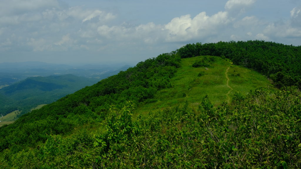
The climb out of Pearisburg was grueling. There was no wind and the air was thick with moisture while the sun baked it to 90 degrees. We were sweating buckets by the time we reached the top. The resulting ridge was scenic and ran parallel along the VA/WV border. We were only feet away from the Mountaineer State at several points.
Despite it being the hottest day on trail yet while coincidentally hiking on a ridge with long, sun-exposed stretches, we cruised through the flat terrain in excellent time, save a few lengthy hydration breaks. In the afternoon, we passed the southern terminus of the 330 mile Allegheny Trail, then began a descent to the Pine Swamp Branch. We reached camp at 8:00pm and I caught up with Gandalf, whom I had first introduced myself to a few hours before vomitting all over Jenkins shelter campground. First impressions are overrated anyway.
What’s next?
The iconic Triple Crown section of Virginia is up next. This stretch is very nostalgic for me, as it was my first introduction of the Appalachian Trail during a section hike when I was in Boy Scouts.
Spout told me she wanted to try writing the next week of entries, which is great so I can take a break from journaling each night.
Stay dirty,
Candyman & Spout

