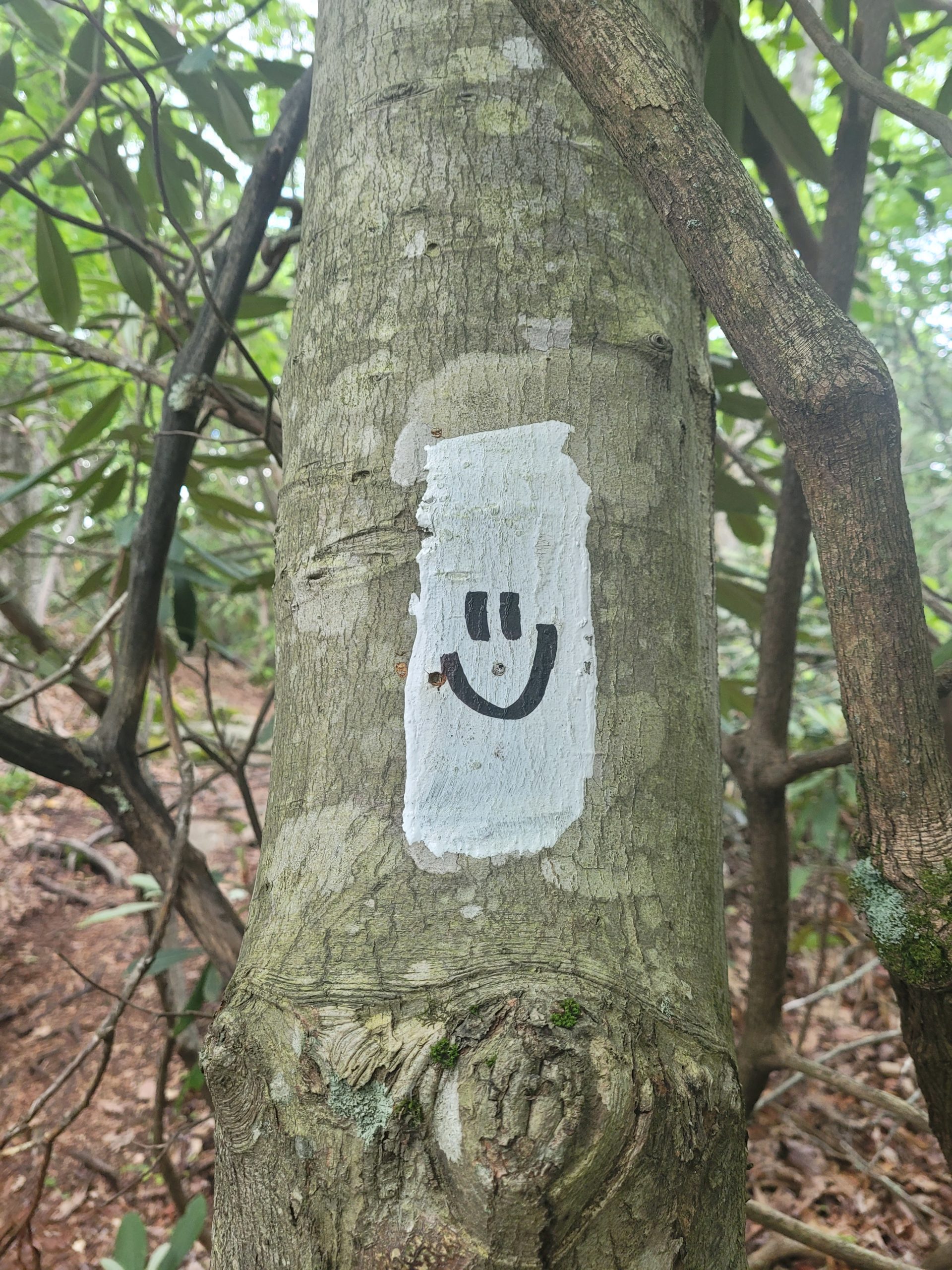
5/24 – Day 24
16.9 miles from Bald Mountain to Mountain Inn
The rain stopped in the morning by time the first hikers in the shelter were stirring. Unfortunately, that doesn’t make the sensation of putting on a full, sopping wet outfit feel any better. We suited up in our sloshy sockies around 7:30am.
Spout had a worsening cough that came to a head that morning. She struggled over hills that would normally be no sweat. Then after sliding down some mud, she noticed a sharp pain in her lower shin that made the hiking even more laborious. But we were commited to making it to town for a resupply and decided that doing laundry and showering was vital since everything we owned was wet.
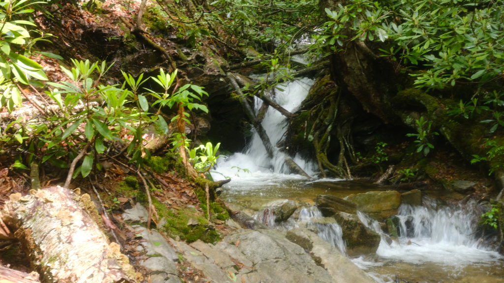
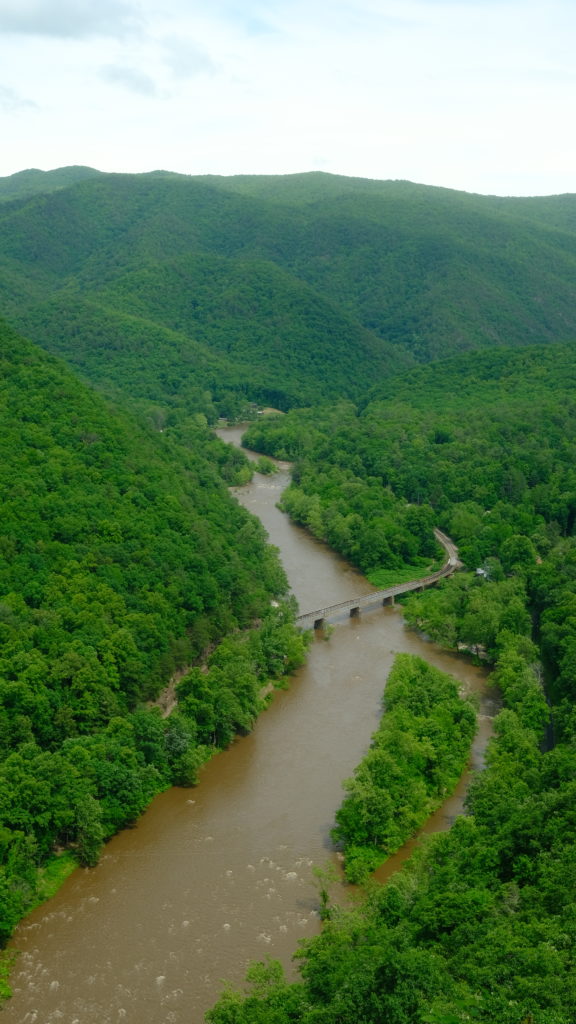
We hiked seventeen miles through the Cherokee National Forest and came out to an overview of the Nolichucky River that was a dark shade of brown, likely from runoff after the storm. We descended from Temple Hill and reached Uncle Johnny’s Hostel around 3:30pm. We hitched into town, courtesy of Miss Janet, a wonderful woman who spends a lot of her time providing free rides for hikers. Then we hitched a few more times to get to and from the Dollar General for a three day resupply before Roan Mountain, TN.
Happer, Spout, and I split a room at the Mountain Inn, ate some good Mexican food from a restaurant next door, and completed all of our (hotel?) chores, like hanging our tent to dry in the shower. Our room absolutely reeked and it was severely noticeable everytime we left and came back. Spout spent her evening popping Dayquil, icing her shin, and watching Shrek 3 in the hotel room.
5/25 – Day 25
9 miles from Mountain Inn to Indian Grave Gap
I feel obligated to write down everything that happens during the hike, both good and bad. Because contrary to what some of our posts might indicate, not everything is sunshine and rainbows. Spout’s sickness and leg injury did not go away overnight, so for the first time we were forced to make a decision about what to do. We were only five days off a zero but it was clear that hiking a full day would be unwise or impossible.
We had a disagreement that stemmed from our differences in pace. Hiking with a partner has been amazing for the most part, but there have also been some difficult challenges and compromises that seem to be inevitable when dealing with the variablity of the trail. For example: if one of us wants to quit, should the other be expected to follow? What if one of us is injured? We ultimately decided to take it easy but still hike a few miles. After all, finishing together is our highest priority.
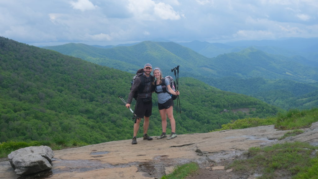
Spout continued to ice her leg in the morning and we found some KT tape in the hiker box to help stabilize the injury, which we believe might be the onset of anterior tibialus tendonitis due to overuse. Her cough was showing signs of improving, which was positive.
The Mountain Inn had a pretty good breakfast including eggs, sausage, bagels, biscuits, and sausage gravy. The three of us hitched back to Uncle Johnny’s hostel, just off the trail, right after filling up. It was close to 1pm by the time Spout and I started to hike four and a half miles to Curley Maple Gap shelter.
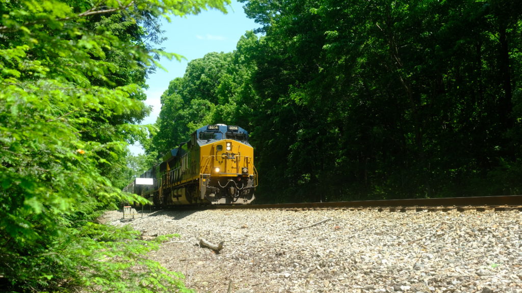
The trail followed a bridge over the Nolichucky River, then crossed some railroad tracks. It was the first time we have crossed tracks on the whole trail and we just happened to catch the train. I wonder if it could take us to Maine? We climbed up a hill with a half dozen tributaries of the Jones Branch and stopped at the shelter for a late lunch.
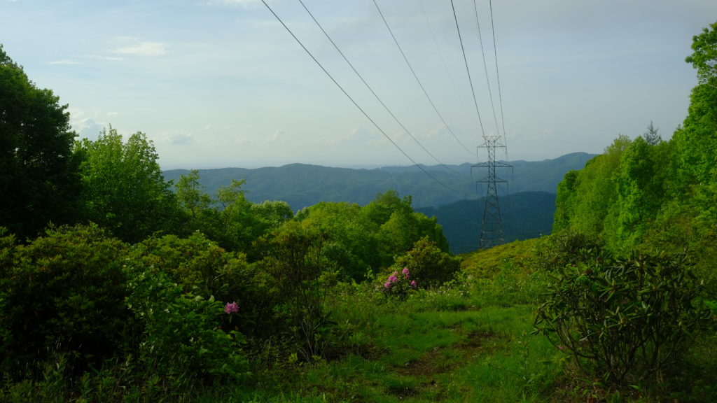
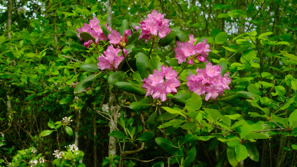
Spout was feeling good enough to keep going a bit further. The next hill gave us some fleeting glimpses of the mountains over a long stretch with patches of beautiful pink mountain laurel in bloom. We camped at what is probably the most picturesque power line cut-out strip you’ll ever see!
5/26 – Day 26
17.2 miles from Indian Grave Gap to Clyde Smith
The wind shook our tent violently all night long and we awoke to a familiar layer of dense fog covering everything in sight. We started hiking early, about 7:15am, in hopes to complete a longer day. Spout’s leg was still hurting but she felt good enough push through. Beauty Spot and Unaka Mountain were both clouded over but at least the rain was holding off and temperatures were cool.
We steamrolled ahead eight miles to Cherry Gap Shelter, took a brief break, then hiked another nine without stopping. Scattered showers opened and closed overhead as we went and the forecast indicated heavy thunderstorms starting in the late afternoon and continuing all night long. Not wanting to deal with another wet and cold night, we needed to pick a shelter to stop at. Dealing with the inconvenience of shelter spacing and weather was a limitation we had never really considered before starting our hike. Sometimes, you feel good enough to hike more but if it means getting soaked, it makes sense to cut it short.

We arrived at the Clyde Smith shelter at 2:30pm and called it a day, one of our earliest arrivals to camp yet. There was a variety of section hikers camping there who were chipping away at the trail each year. The storm started right on cue and we knew we had made the right decision as we relaxed and read our books as the rain pounded off the tin roof all night long.
5/27 – Day 27
24.8 miles from Clyde Smith to The Station at 19E
The amount of rain in the past week has been absurd. The ground was fully saturated and all new water had nowhere to go. Deep puddles formed anywhere the ground was flat and any slope was transformed to a rushing stream along the trail cut-out. The climb up Roan High Knob was stretched out over five miles with switchbacks and a moderate grade. If it hadn’t rained enough to satisfy the Amazon Rainforest, it would’ve been relatively easy. Instead, we had to carefully traverse slick rocks, wade through heavy runoff, and soak our shoes and socks yet again. It was fine, they never really had a chance to dry anyway.

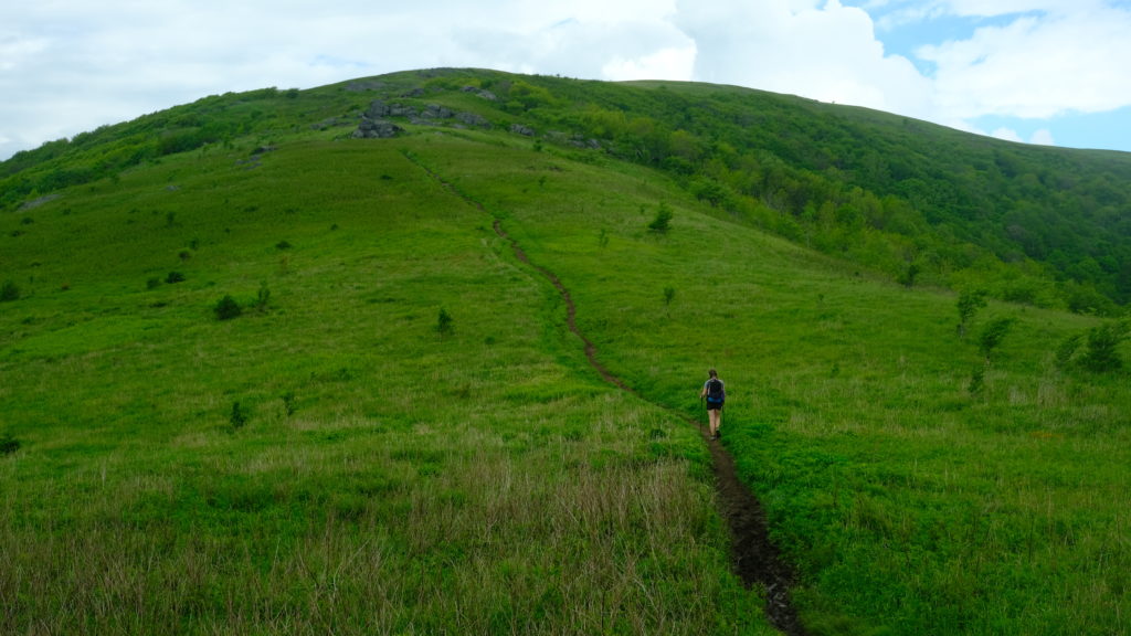
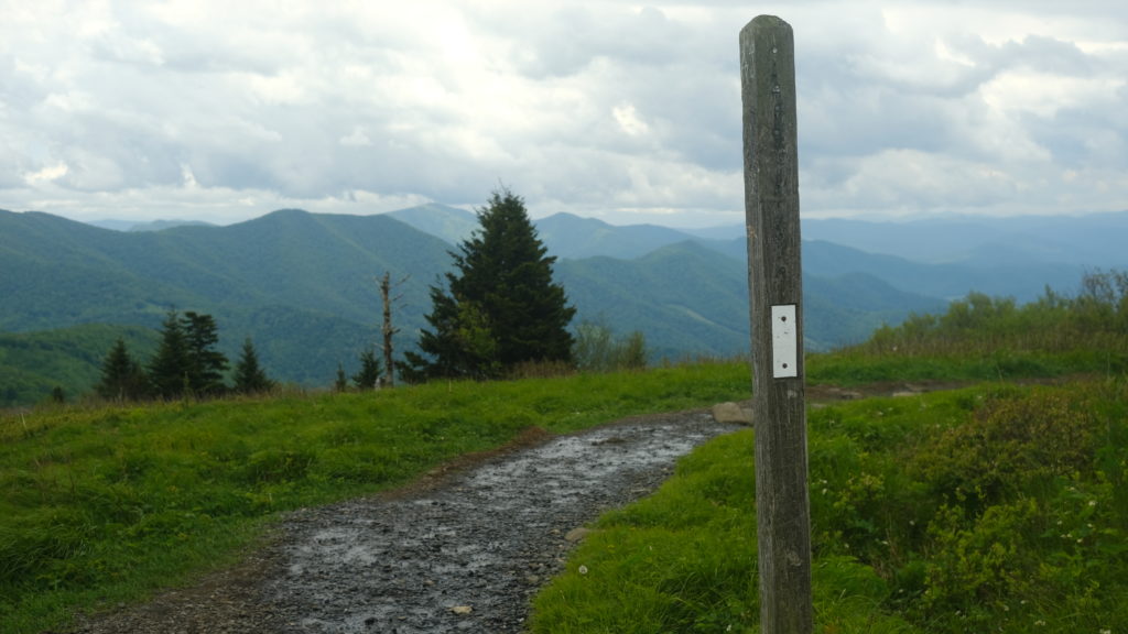
We took a break at the Roan High Knob shelter, the highest shelter on trail sitting at 6,200′. From there, we hiked through the water falling down the opposite side of the mountain. After the descent, we passed the Carver’s Gap parking lot and the terrain opened up over some gorgeous hillsides along Round Bald, Jane Bald, and Grassy Ridge Bald. The skies were still overcast and the lack of sun was unhelpful in clearing the excessive water. The mud in this section was terrible and dangerously slick.
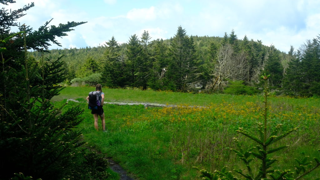
We pushed forward past Yellow Mountain Gap and climbed up both Little Hump Mountain and Hump Mountain. They were each challenging ascents but offered spectacular views of the Blue Ridge Mountains. This was, in fact, the final few miles we would be in North Carolina! After climbing down Hump Mountain, we passed the “Leaving NC” sign. It was a beautiful state, but it was time to move on.
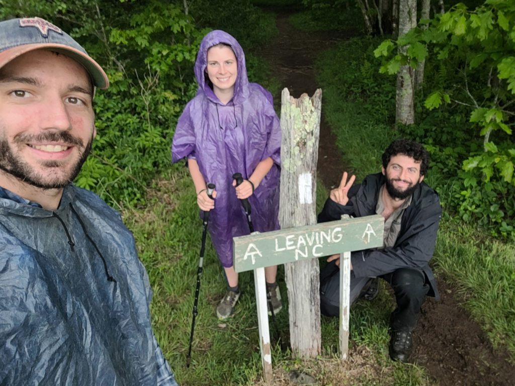
We had hiked twenty-two miles and were approaching the wall of fatigue, but after a brief break we decided to try and make it to the Mountain Harbor B&B. All the rooms were already full but we heard rave reviews about their breakfast and wanted to tent outside along the river. We limped our way to US-19E after our longest hiking day yet. Spout’s leg was beginning to hurt again as we walked a half mile down the road to the B&B.
We walked in and one of the workers was on the porch and greeted us. We told him we were looking to tent and he pointed us to the general store. In the general store there was a lady working. The very first thing she asked was if we were here “only for the breakfast”. We told her no, since we were looking to camp, do laundry, shower, etc, but would also like have the breakfast in the morning. She began to explain to us how she had over forty people coming to breakfast and there would be no way they could feed everyone. Not sure what I was supposed to say to that but long story short: she sounded upset that she had to deal with more people and was extremely unwelcoming to us the entire time so we decided we didn’t want to stay there anymore.
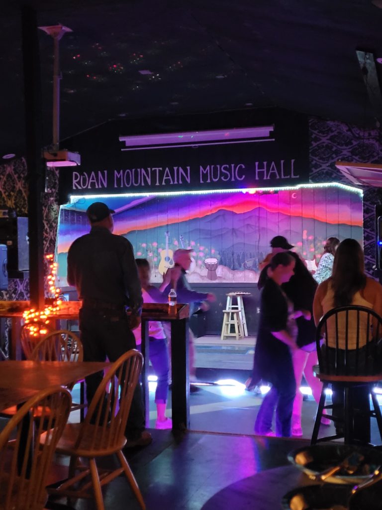
Another mile in the opposite direction was The Station at 19E. It’s a hostel and bar with a massive craft beer selection and a neat atmosphere. The beds were also full, but one of the owners, Dave, offered for us to stay in “The Dungeon” where work-for-stays normally sleep. We gladly agreed and spent the evening in the bar hanging with a number of familiar hikers and some new faces we just caught up with.
It is usually clear which businesses geniunely care about hikers and which ones treat them as an afterthought or want an easy way to make a buck. Trail angels and the people who run hiker-focused hostels and shuttles are always interesting people who make wonderful company. The tight-knit community on this trail is undoubtedly one of the best parts of being out here.
5/28 – Day 28
8.6 miles from The Station at 19E to Mountaineer Falls
The hostel made leftover biscuits and gravy for breakfast, courtesy of some random trail magic by a man in Denmark who donated $1,000 via trailmagicdesk.com. Around the table, I realized I had left an entire bag of dark chocolate buckeyes in the freezer at our hostel in Hot Springs. Morpheus commented how I always seemed to awesome candy, Happer said my trailname should be Candyman. I think it’s pretty good name and a nice homage to my first trailname in Boy Scouts, Skittles.
After eating and packing up, we left around 11:30am with the objective of reaching The Refuge Hostel to pick up some packages we had shipped there. Happer hiked with us about one and a half miles through some fields of waist-high grass before we turned off towards the hostel.
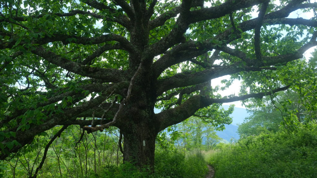
The Refuge Hostel is a unique, octagonal building with a quaint layout. We walked right in but the owners were nowhere to be found. We texted them and they replied saying they were in town for a few more hours, feel free to use the living space, but the packages are locked up and we would need to wait for them to return.
We killed a couple of hours eating microwave corndogs and watching Ace Ventura until the owner, Robert, came in and retrieved our packages. It felt like hiker trash Santa just squeezed down the chimney on Christmas morning. Spout got a brand-new phone, since her old one couldn’t make calls, texts, or use data. I got a new pair of shoes, since the padding in my old ones was so flattened it felt like I was hiking barefoot. We also got a replacement water filter that my parents shipped to us, along with thumbprint cookies and some delicious caramel-chocolate popcorn. It was a good day.
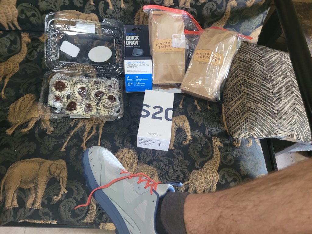
Robert was so friendly and told us about the hostel that he and his wife had just opened up a year ago and dedicated it to serving only thru-hikers. We almost regretted that we did not hike the extra mile to stay here the previous night, it was a really nice spot. We left around 4:30pm and continued to hike north towards Maine.
According to Robert, the terrain from here to Damascus was cake. It seemed true enough, as the next eight miles were arguably the easiest of the entire trail so far and also included a number of highlights. We stopped to eat a cookie at Jones Falls, a 100′ tall waterfall that cascaded onto multiple tiers of rock. Thanks to the rain, the water was absolutely gushing and sprayed mist onto a large boulder that sat in the middle of the falls. Then, the trail followed peacefully around the Elk River for a stretch before a short climb to Mountaineer Falls.
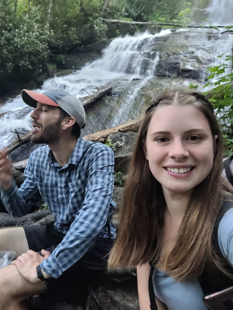
Spout’s leg was flaring up, as tendonitis tends to do, and it was getting late. We pitched our tents on a hillside that had a nice view of the waterfall and took advantage of a fire that another group of campers already had ablaze.
5/29 – Day 29
21.8 miles from Mountaineer Falls to Pond Flats
The easy terrain continued past Mountain Falls for several miles. The trail wound its way through thick woods, crossing streams every half mile with split-log footbridges and occasional waterfalls. Hardcore Cascades (also a good name for a metal band) was a particularly beautiful one with a heavy flow falling over large rocks that looked like a giant staircase.
We took lunch at Moreland Gap shelter and met a few new NOBOs. It seems we are passing more and more people everyday. Spout and I put in our headphones for the section after lunch, which we haven’t been doing too often. I have been experimenting with listening to audiobooks while hiking, though I sometimes find my concentration is jeopardized when navigating difficult terrain. Spout claims that 2010-era pop is the best music for hiking.
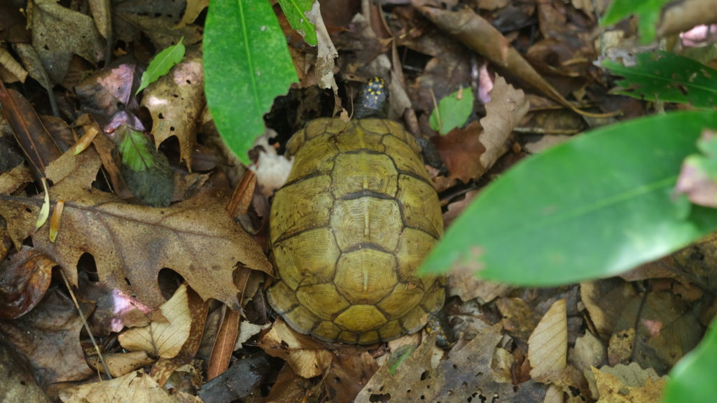
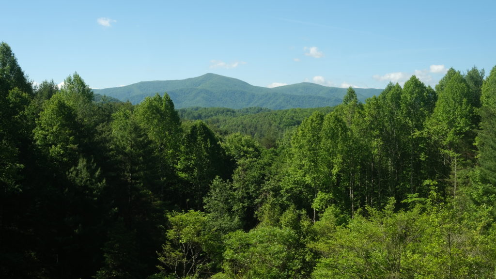
We came to some great views hiking across White Rocks Mountain. Setting a strong pace, we hit Dennis Cove Road by 4:00pm and walked a half mile down the road to Black Bear Resort. There were modest resupply options enough for three more days until Damascus, VA. We hung out on the porch for a while and each of us inhaled a pint of ice cream.
Leaving the resort, we entered the Pond Mountain Wilderness and were confronted with a massive slab of rock that sat behind the Laurel Fork River. A bit further down was yet another impressive waterfall, Laurel Falls. At one point, the trail followed precariously along the edge of the rock as the river roared below.
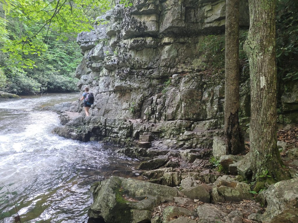
We had originally planned to camp at the Laurel Fork shelter, but for whatever reason, both of us just wanted to keep hiking. It was after 7:00pm, we had gone nineteen miles, and a three mile, 1,800′ climb sat in the way of the next possible campsite at the top of Pond Flats. But we were feeling good and decided to send it.
When you are hiking and you feel that irresistible urge to keep going, that is Katahdin pulling you forward
It seems that switchbacks were finally invented by the time this section of trail was built. Despite the grueling elevation gain, the climb was actually quite manageable. The sun was setting through the trees and the sky was engulfed in fiery red as we made camp on the flat. A warm, celebratory fire is always in order after a long day of hiking.
5/30 – Day 30
18.8 miles from Pond Flats to Iron Mountain
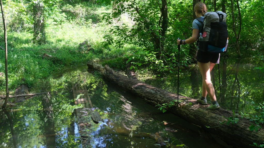
Spout claims she is a morning person, but her sleeping past 8am on trail (that’s about 10am in real-world time) shows otherwise. The sun was already high in the sky when we started hiking on Memorial Day and it was beginning to heat up on Watauga Lake as the crowds poured in. Grills were fired up, PBRs were cracked, and nobody offered us poor, starving hikers anything.
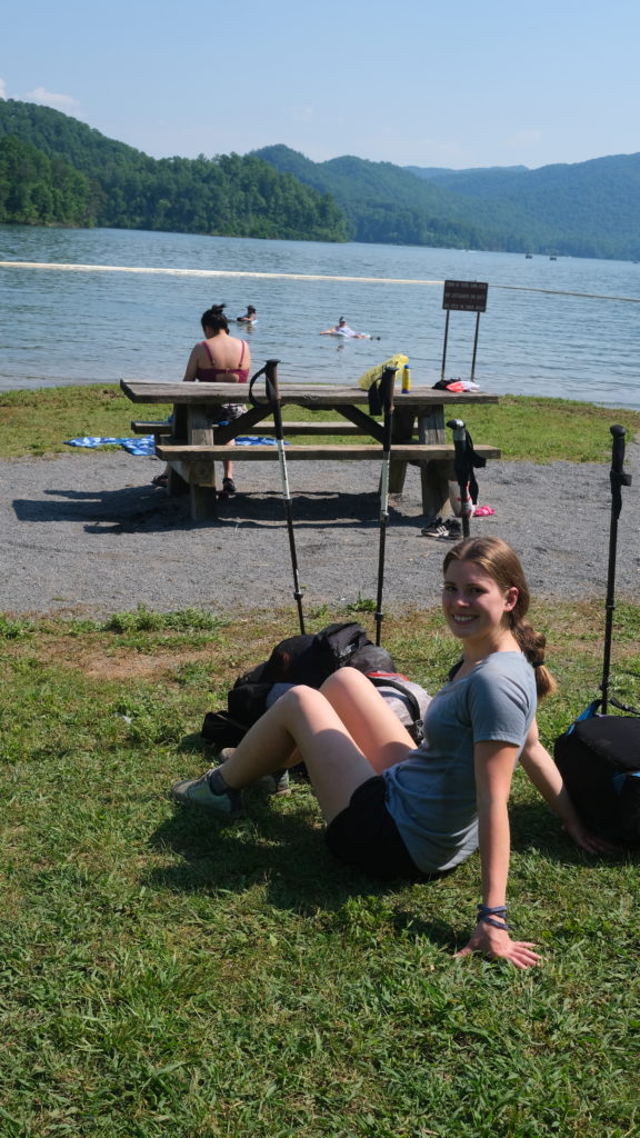
The trail took us around the western perimeter of the lake for a few miles. It was clear the water level of the lake was higher than what was typical. At one point, the trail sunk a few feet to a section completely underwater. We were forced to climb up the hill onto the road and “blue blaze”, which we later found out was a temporary reroute of the trail.
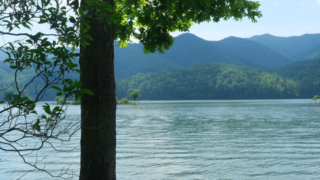
We crossed the Watauga Dam, which had stunning overlooks of both the lake and some rocky mountains on the opposite side. Afterwards, we began a climb through the Big Laurel Branch Wilderness with fleeting views of the lake below. We took lunch and filled up at a spring before Vandeventer shelter and prepared for an eight mile dry stretch by cameling up as much as we could.

We flew by the remainder of the day over rolling hills, clocking miles well under twenty minutes and hit the brakes at Iron Mountain shelter. Spout was struggling with building a fire and a man named Juanito helped her by using Fritos as a fire starter, it actually works!
5/31 – Day 31
24.0 miles from Iron Mountain to the TN/VA border
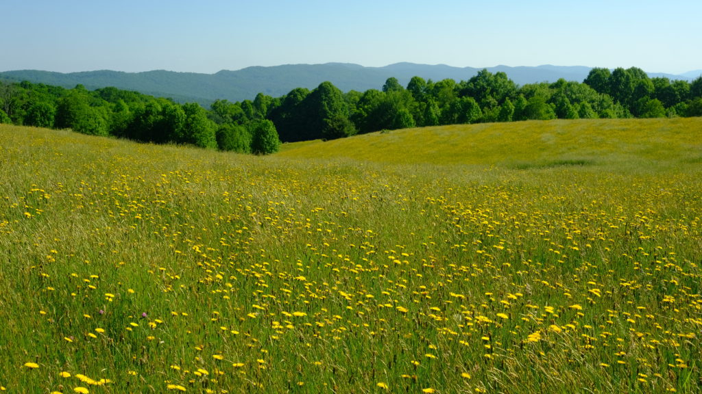
The miles heading north from Iron Mountain were certainly the easiest of the trail thus far, and the closest we may ever get to some freebies. After a few minor warmup hills, we entered a pasture of tall grass with bright, yellow dandelions abound. There was an old stable with the “AT” logo blazed on the side visible from across the fields.
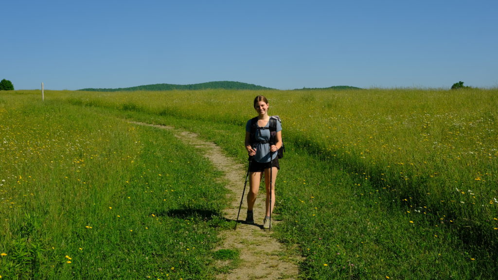
We pushed ahead about eleven miles before lunch at the US 421 crossing. Much of the final miles out of Tennessee were slightly overgrown and not particularly scenic. The associated perk with that, as mentioned, is that there was little elevation change. It was a bluebird day and just barely too hot for crusing conditions, but we still hiked quickly.
After lunch, we were heading up McQueens Knob when we saw a bear just off the trail. Our confidence in dealing with the big black dogs has grown significantly since our first few encounters. Especially since we are out of the Smokies and bears are actually afraid of people again.
A fun fact about Spout and me is that we are both bear enthusiasts. Seeing bears in the wild is one of my favorite things about hiking, it never seems to get old. The one we saw looked to be an adolescent.
We took another break at the Abingdon Gap shelter with an animated woman hiking southbound who gave us some suggestions for Damascus. We didn’t plan to reach town today, rather we were hoping to stop just short and then nero in the following day. I began to feel some tendon pain in my lower right shin, just as Spout said her’s was feeling better. I never knew tendonitis was contagious, she must have given it to me.
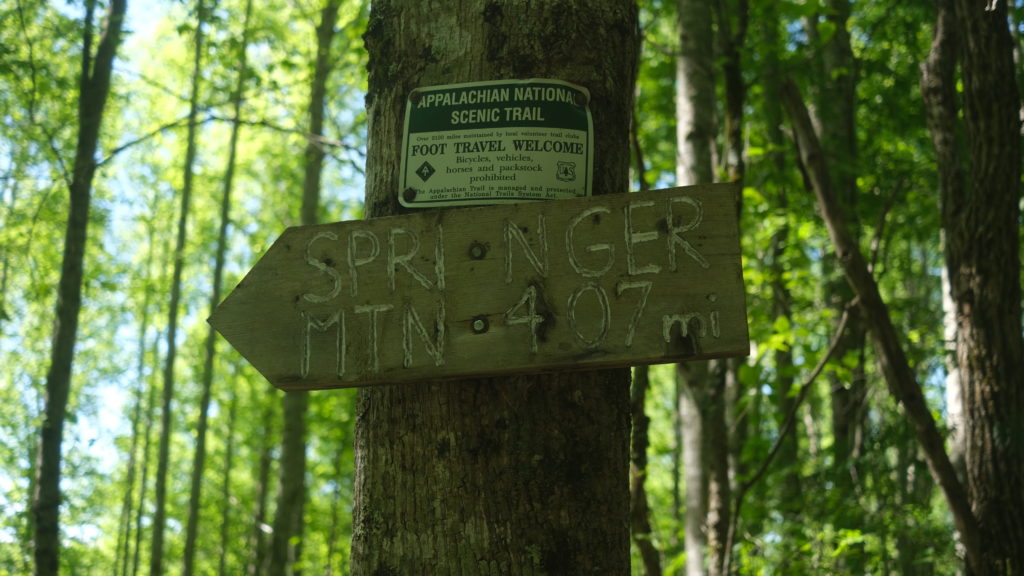
The final steps out of Tennessee were a slog. Despite the flat-ish terrain, it was hot and we had to grind through our growing hunger. Furthermore, I just couldn’t seem to drink enough water to overcome the humidity. We found ourselves hiking in a state of deteriorating alertness, where movements are in autopilot and thoughts trail off. Eventually, we saw a basic, wooden sign up ahead and we officially crossed over to Virginia. We did it. In the month of May alone, we hiked in four different states and over 450 miles. We will need to get comfortable being here, as the next 550 miles of trail are within the state’s boundaries.
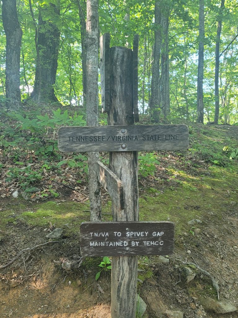
My body was ready to quit long before the border, but we crawled ahead another two miles to a location just up the hill from Damascus. We made camp and were joined by Happer and a new friend, Cabbage. Everyone was ready for an easy day tomorrow and we felt tremendously accomplished; we hiked three days over twenty miles in a five day stretch. Virginia better watch out!
What’s Next?
Southern Virginia has a number of highlights we are looking forward to, such as Grayson Highlands. Most hikers report Virginia as being easier than GA/NC/TN but there are also some sections that can be tedious and repetitive. The mountains will be less dramatic until we get to New England, but great things await us in this state and we couldn’t be more excited to have made it this far.
Stay Dirty,
Candyman & Spout

