5/18 – Day 18
17.5 miles from Snowbird Peak to Bluff Mountain
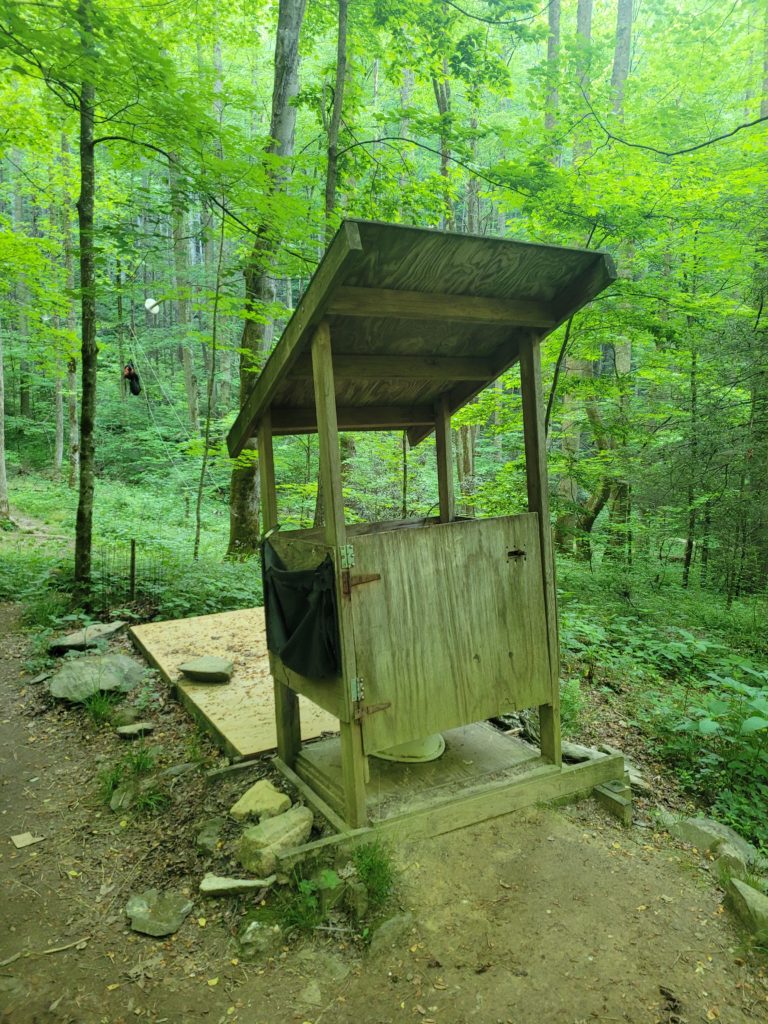
We awoke to a warm sunrise visible through the trees from Snowbird Peak. We had a bit of a late start but hiked with Happer down the mountain in good time. At the bottom, we stopped at Groundhog Creek shelter where I used the worst privy I’ve ever seen in my life. If you sit down, your knees don’t allow the door to close. One comment on FarOut put it nicely, “if you’d like to take a dump into the gate of Satan’s lair, you’ll love the privy”. The best part is that it was clearly visible from the shelter full of people about twenty yards away.
Next was another climb to an area called Max Patch. The terrain was brutally steep for short pushes. A common phrase Amy and I have been telling each other was that there are no freebies on this trail. You had to earn every single mile.
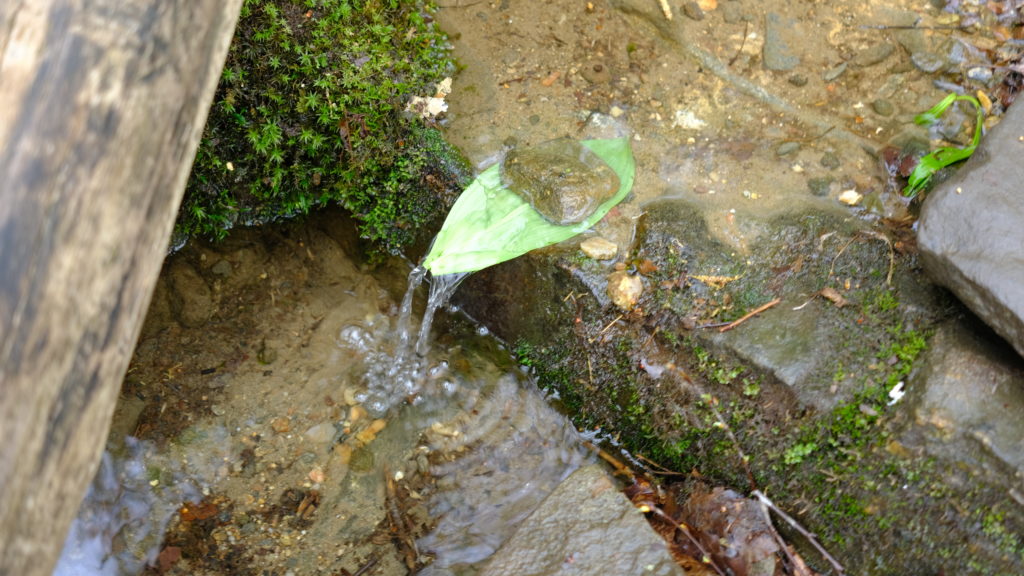
Still, we were in high spirits and made easy conversation as we hiked. Amy developed a fascination for leaf spouts that hikers would build at water sources. Basically, to better enable filling a water bottle from a stream, you can dam the flow and funnel it over a rock. Then, place a large leaf like rhododendron in the center and the water falls off the leave forming a spout with a much improved flow rate. After Amy took to building multiple of these in the span of a few miles, I started calling her Spout. We all liked it. I think it will stick!
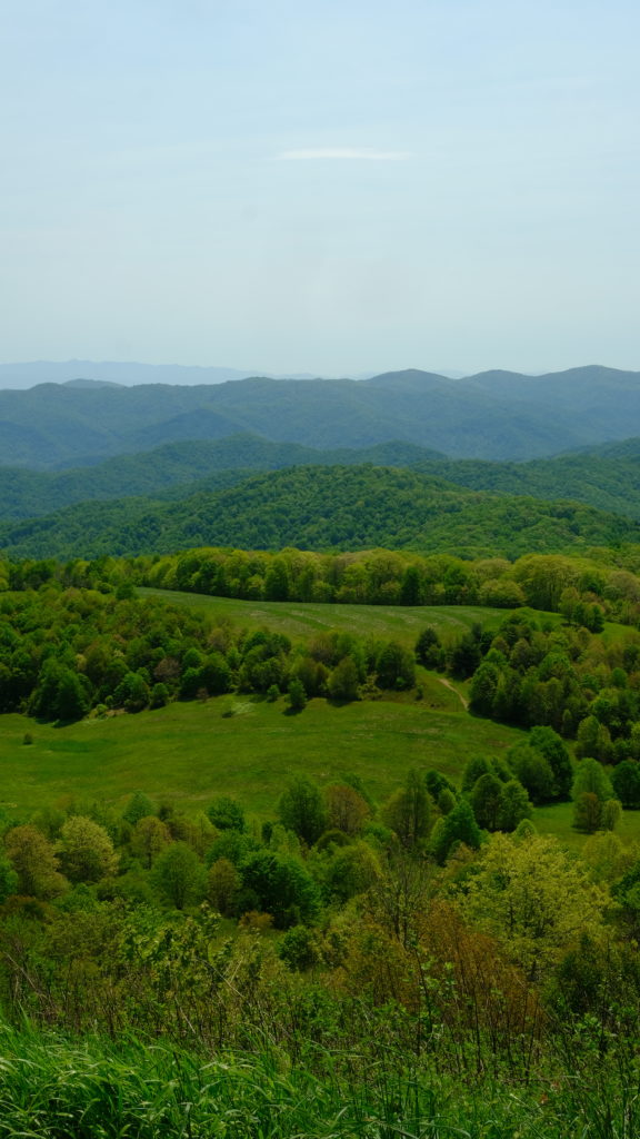
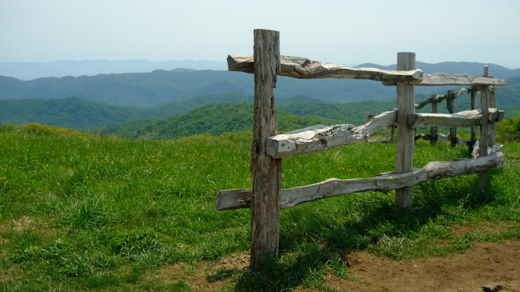
We finished the remainder of the climb to Max Patch after spending way too long filtering water. The patch is a massive bald with tall green grass that flows peacefully in the breeze. Colorful trees from nearby hills and a cool gradient of mountains in the distance accompany it, forming a landscape that feels like it was plucked out of a storybook.
There was supposed to be a burger shack at a hostel near Max Patch but we found out it was closed for the season. Devasted, we sat underneath a tunnel of rhododendron and ate our cold tuna tortillas instead. Afterwards, we hiked another seven miles to Walnut Ridge shelter. It was an old, decrepit hut swarmed by flies and we had no desire to stay the night there. Since we wanted to shorten our hike into Hot Springs anyway, we pushed ahead to Bluff Mountain. Amy spied a bear cub hiding off the trail as we hiked up.
We made camp at a nice spot on top of the mountain. We made a fire to commemorate a minor Jewish holiday called Lag B’Omer that Happer informed us about. It was a windy evening and the breeze fed the flames late into the night as we slept.
5/19 – Day 19
10.5 miles from Bluff Mountain to Hot Springs
The anticipation that you develop for reaching the next town when thru-hiking is staggering. After only a few days, you crave modern luxuries like a shower, laundry, and a bed so much that you find yourself planning your entire week around getting them a few hours earlier. Back at Newfound Gap, we were in position to hike four equal-sized days of about 16 miles to reach Hot Springs. Instead we ended up hiking 16, 24, and 18, so that our final day was only 10 miles into town. That number is significant because it means, “hot food for lunch”.
The wind calmed slightly in the morning. The skies were dark and overcast and threatened thunderstorms. We packed up and set off down Bluff Mountain, another hiking day that was pretty much entirely downhill. We let our cravings motivate our aching bodies. Before 11am we covered the majority of the miles and took a short break at a Deer Park Mountain campsite.
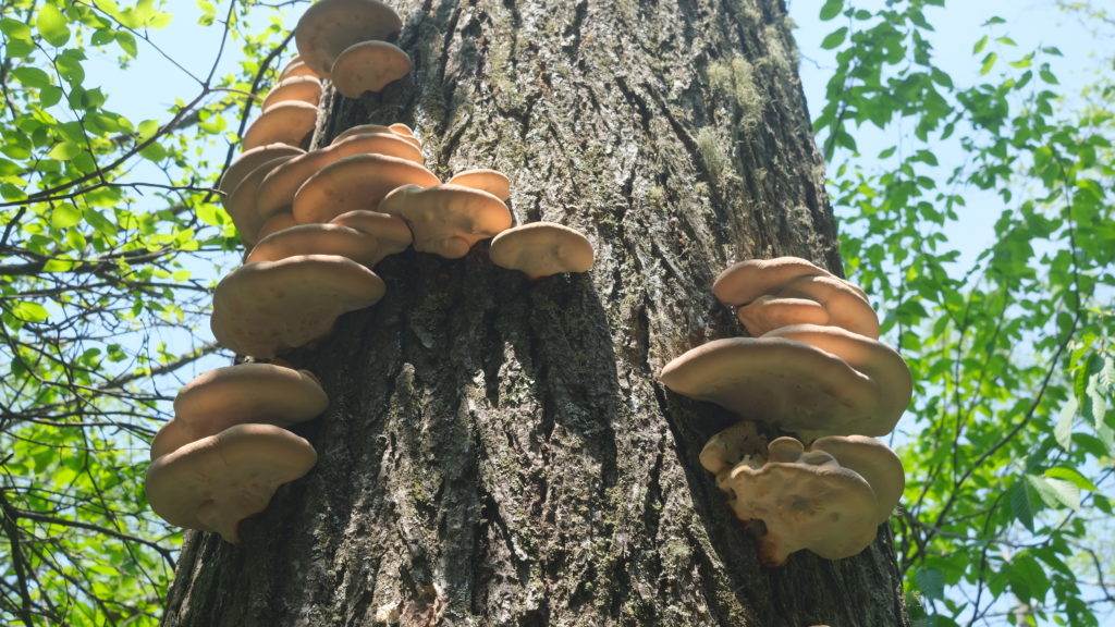
The descent continued and we eventually heard cars and caught glimpses of buildings sitting at the bottom of the hill. We reached Hot Springs by 11:30am. The trail passes right next to Laughing Heart Hostel, where we booked two nights in a private room for our second zero day in about three weeks of daily hiking. The next priority was grabbing food so we went to Spring Creek Tavern and got burgers that were suspiciously tasty. I’m never sure how good that first meal actually is when you’re hungry… I’m hesitant to say I already have “hiker hunger”, but the amount of food I’ve been eating is almost concerning.
Immediatley after paying the bill, we went next door to Big Pillow Brewing and ordered quesadillas, churros, and some good brews. Then, I got some goat cheese and lemon zest ice cream from Artisun, which was also a local art decor shop that offered some of the most unique trail related art I’ve seen. We resupplied at a Dollar General and a local deli for four days, hoping to reach Erwin, TN by then.
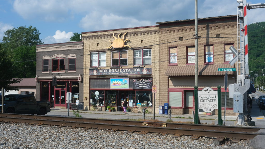
Finally, we made our way back to the hostel and spent the evening hanging out with the other hikers. I taught Happer how to play cornhole. We called it an early night, excited for a big, fat day of doing nothing tomorrow.
5/20 – Day 20
0 miles
Zeroes are amazing in every way. Typically, lying around in bed for half the day makes me feel lazy, but after a few weeks of hiking it is nothing short of bliss. We slept in late and woke up with two objectives: 1. Eat as much food as possible 2. Take as few steps as possible.
The dilemma we faced was that Laughing Heart hostel was a good ten minute walk from the rest of the town where the restaurants were. According to my phone, I still ended up racking up 10,000 steps throughout the day.
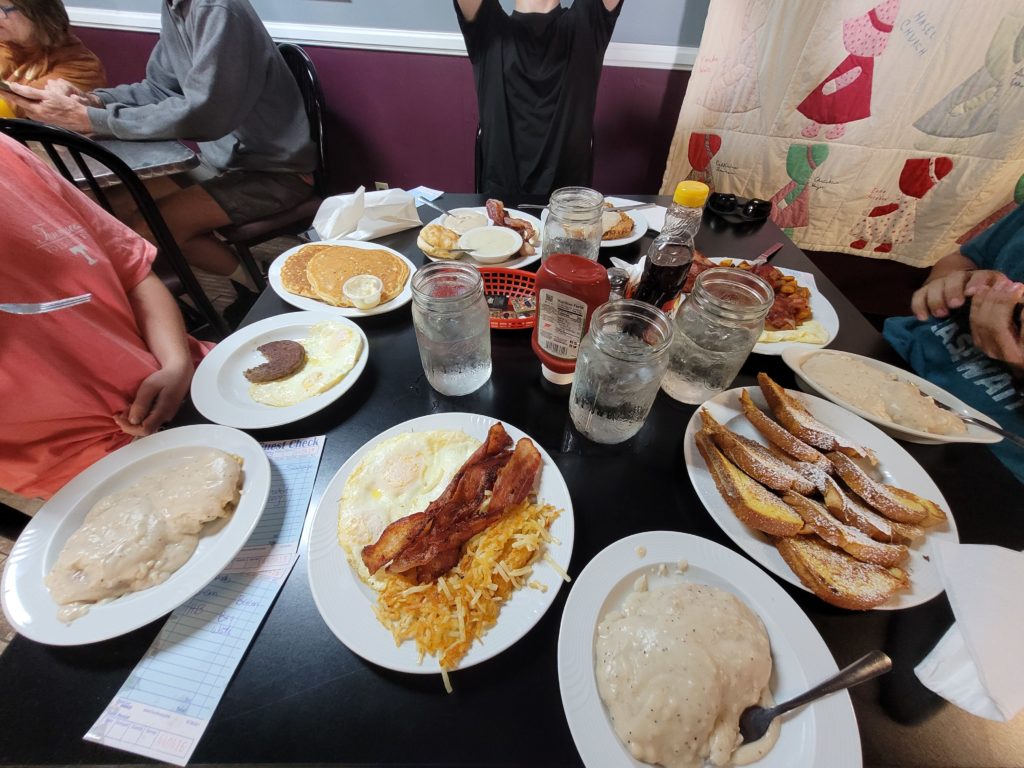
We went to the Smoky Mountain Diner for breakfast with Happer and Frogman and ate a magnificent portion of biscuits & gravy, eggs, bacon, and french toast. A+ southern breakfast, good prices, hospitable service, go here if you visit! (this post is not sponsored)
We layed in bed for most of the afternoon and met some more new faces at the hostel. Before dinner, we went back to the brewery to meet up with Season Pass and Business Casual who had just rolled into town. There was live music and the place was totally packed. For dinner, all four of us ordered pan-fried trout at Iron Horse Tavern. I’m not sure how it happened but we managed to eat at every restaurant in Hot Springs in a day and a half. It was a great place for a zero and my favorite trail town so far!
5/21 – Day 21
19.9 miles from Hot Springs to Little Laurel
Leaving town is always slow going- sleep in, pack up, eat breakfast, maybe even shower one last time, and before you know it, it’s 9:30am and you still have twenty miles to go. We left the hostel and rehiked the half mile of trail that goes through town that we had done close to ten times already. From there, we crossed the French Broad River, apparently one of the oldest rivers in the world, and entered back into the wilderness.
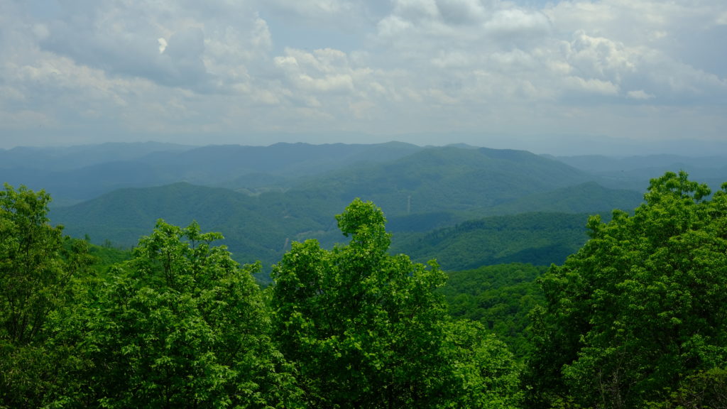
The trail followed along the river for a short while and then climbed steeply up a hillside that offered a cool perspective of the town below. To literally no one’s surprise, today was all uphill. The thermostat reached a new high at about 85 degrees and the overbearing humidity was a not-so-subtle reminder of what we have to look forward to in Virginia this June.
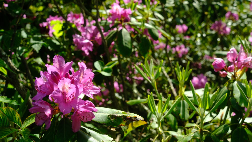
Our freshly washed clothes were once again saturated with sweat by time we completed a two mile section. What’s the point in paying for laundry again?
We passed a dammed pond with gross stagnant water and a hiker told us he saw someone fill up their water bottle there. Thought that was interesting. Shortly after, we climbed Rich Mountain which had a fire tower for observation. It was a bit hazy and storms were supposed to be rolling in by mid-afternoon. We continued hiking while thunder roared in the distance but the rain held off. We went about twelve miles total before reaching Spring Mountain shelter where we took cover as a sprinkle turned into a heavy rain. Six of us were hiding out and it turned into a mini shelter party.
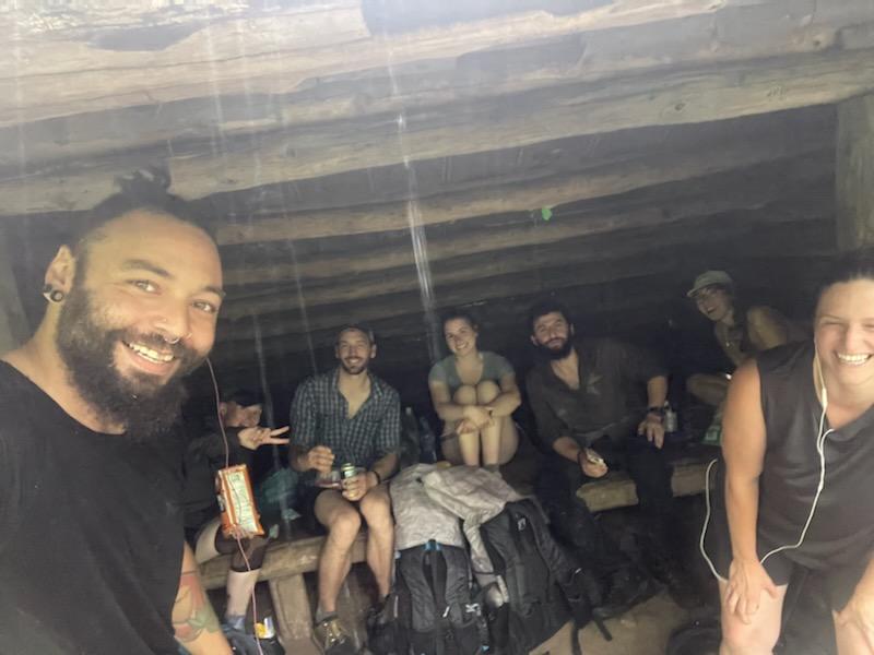
We knew we had to keep hiking, so Spout, Happer, and I readied our ponchos and set off. There was not much in the way of interesting views today, but this was really the worst storm in three weeks on trail and it is so nice to listen to the rain while walking in the woods. After two hours of walking through the misty forest, the thunderstorm lightened up. We pushed ahead a few more miles to Little Laurel shelter and got to camp around 7:00pm.
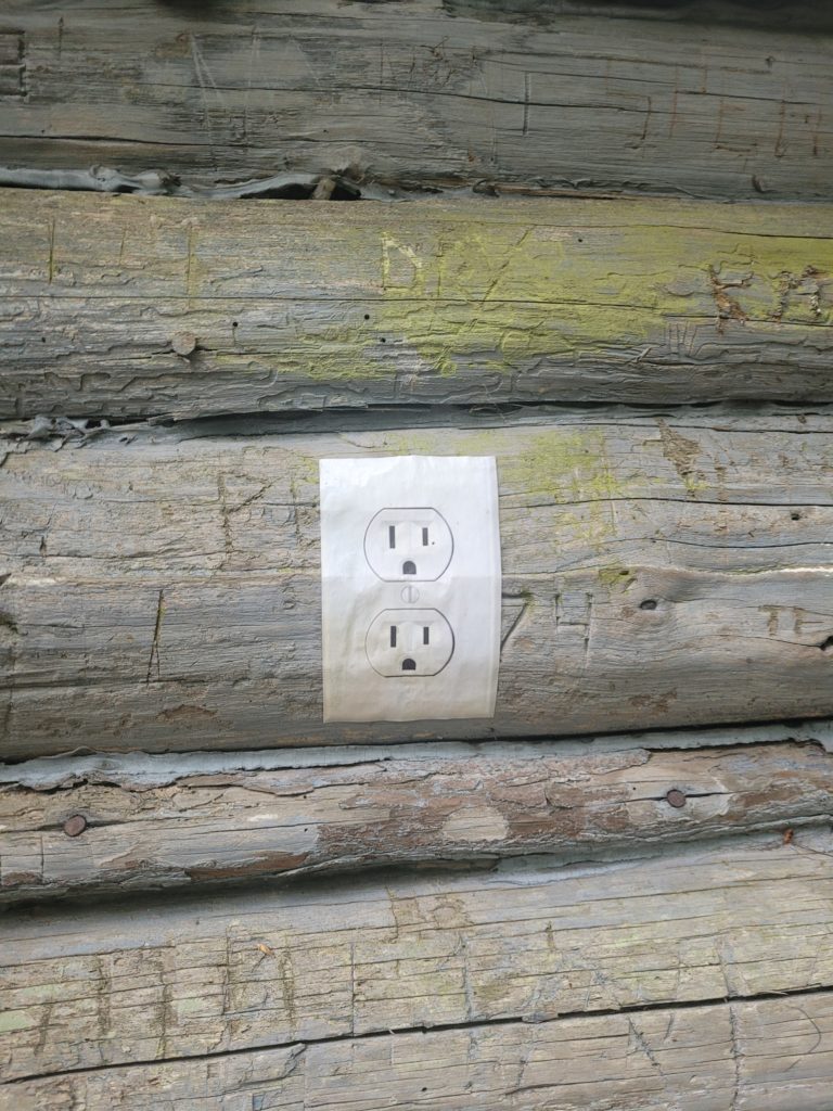
The shelter was crowded and there were nearly a dozen tents pitched throughout the area. It dawned on us that we may be catching up the tail end of “the bubble”. In any case, we didn’t feel like doing much that night so we ate dinner and retired to our tents to read. I’m currently reading the first book of Lord of the Rings and Spout is reading Wild.
5/22 ‐ Day 22
17.5 miles from Little Laurel to Sugarloaf Branch
We slept in the latest we have on the trail so far, excluding towns. It was 8:45am by time we laced up our shoes and started hiking the remainder of Camp Creek Bald. Afterwards, the trail grew increasingly rocky until the boulders were so large we were scrambling.
After a slow mile, we popped out on top of an epic exposed ridgeline near Big Firescald Knob. It was totally unexpected and there were stunning views in both directions. East was the typical lush mountains of the Cherokee National Forest, but looking west showed us something we hadn’t yet seen: farmland. The mountains came to a grinding halt upon endless fields and some rural developments. It was the first time the trail had approached the “edge” of the Appalachians.
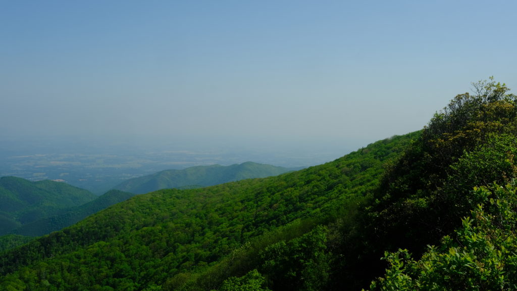
The large boulders continued as we gingerly lowered ourselves off the ridgeline to Jerry’s Cabin shelter. But there was another climb on deck today, the infamous “Big Butt”. We were giggling like children making jokes as we left the shelter. It seems even trail builders have a sense of humor. There was even a rock with a crack down the middle on the way up!
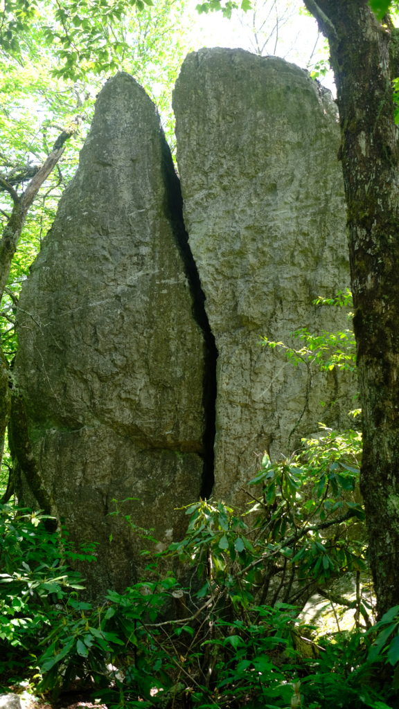
After wiping the Big Butt, the trail was largely uneventful during a subtle descent for the next several miles. Showers came and went and we heard thunder in the distance once again. At one point after removing our ponchos for a quick break, we heard a heavy rain in the distance that formed a satisfying audible wave for about twenty seconds as it approached. Satisfying, well, until it hit us.
Happer hiked with us to Flint Mountain shelter, where we took a short break, then decided to continue hiking to reach Laurel Hostel right off trail at Rector Laurel Road. Happer later said that the hostel was exactly what he pictured backwoods American houses would look like. It was on the property of a small farm house with roosters crowing loudly down the driveway. Low Interest Loan and Snacks were chilling on the porch with the owner.
Amy attempted to order a Gatorade. The man behind the counter told her he was out of Gatorade. Then, she tried to order cupcakes; they were out of cupcakes. Finally, she asked for a corndog and not surprisingly, they were fresh out of corndogs. It reminded us of the donut store scene in Weird Al’s Albuquerque.
They did, however, have frozen pizzas and Yuengling, so we filled up like true hiker trash instead. After eating, we continued up the trail for a few more minutes and stealth camped along Sugarloaf Branch with Happer. Showers came and went all evening long.
5/23 ‐ Day 23
15.4 miles from Sugarloaf Branch to Bald Mountain
The rain picked up sometime in the middle of the night and, unbeknownst to us at the time, wouldn’t stop for over twenty-four hours. We had made the mistake of camping close to the stream, at the bottom of the mountain, in foggy conditions so the condensation that formed inside our tent was significant. We got restless sleep as water dripped onto our faces and soaked the goose feathers in our sleeping quilts.
We packed up our gear in the morning under light rainfall that turned moderate as we hiked towards Rice Gap. Our socks, shoes, and clothing were already wet and we were generally miserable. After five miles we reached Hogback Ridge shelter and took a break under cover with Morpheus, Happer, Dune, and Mouse (a different one). We checked the forecast and saw 100% of rain every hour until 2am. We had to make a decision, hike or stay put.
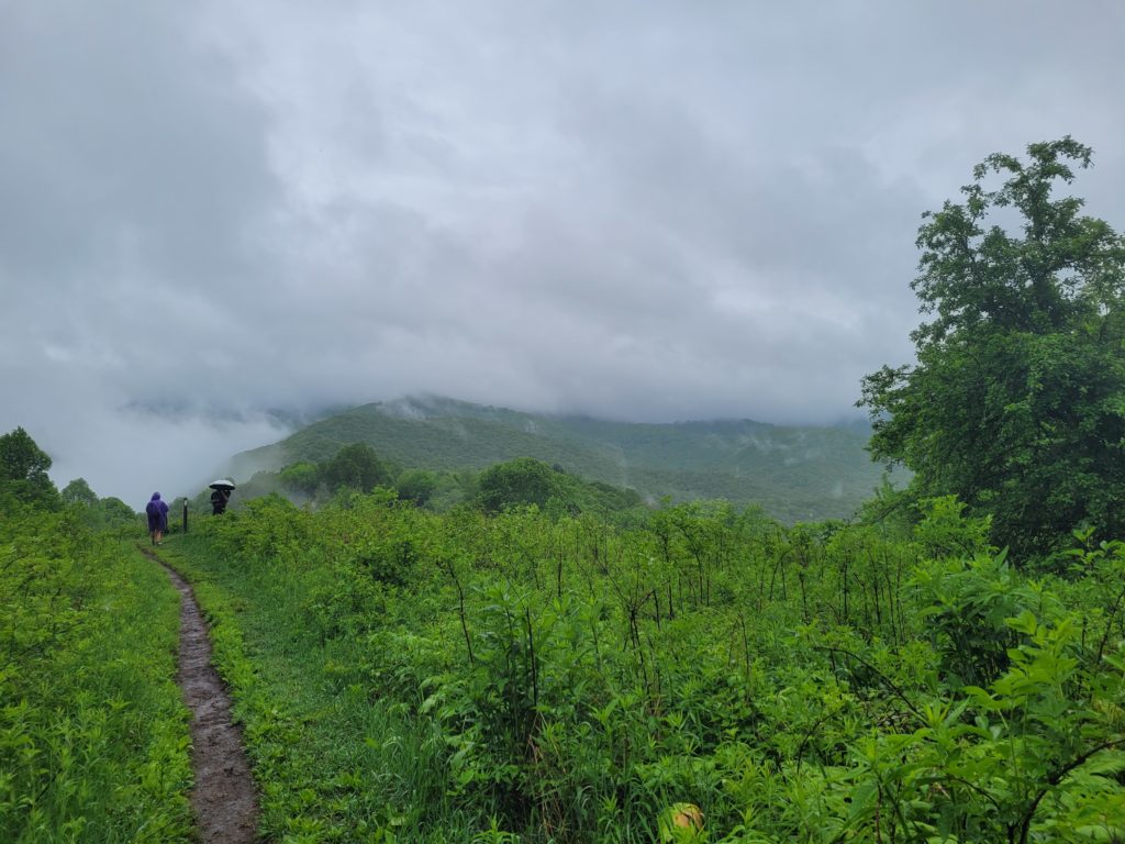
It felt as simple as flicking a switch in the brain. We were going to hike ten miles to the next shelter. We would be soaked but we will not be miserable. The rain turned to a downpour as we loaded up our packs and hit the trail. Within the hour, we were totally drenched. It is one of the most freeing sensations you can experience on trail; to give in to mother nature and just hike. Don’t walk around that puddle, walk through it.
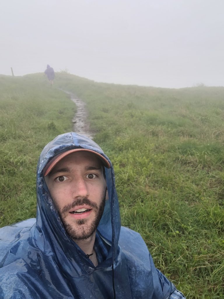
The woods seems to come to life even more so when it rains. The leaves appear more vibrant under the subdued tones of grey that encompass them. We hiked up several miles of ridgeline covered with mayapple and towering maple trees singing Weird Al songs. We even met a trail angel carrying a box of fresh apple fritters and bananas hanging from his waist. Trail magic always seems to come at the most unexpected times.
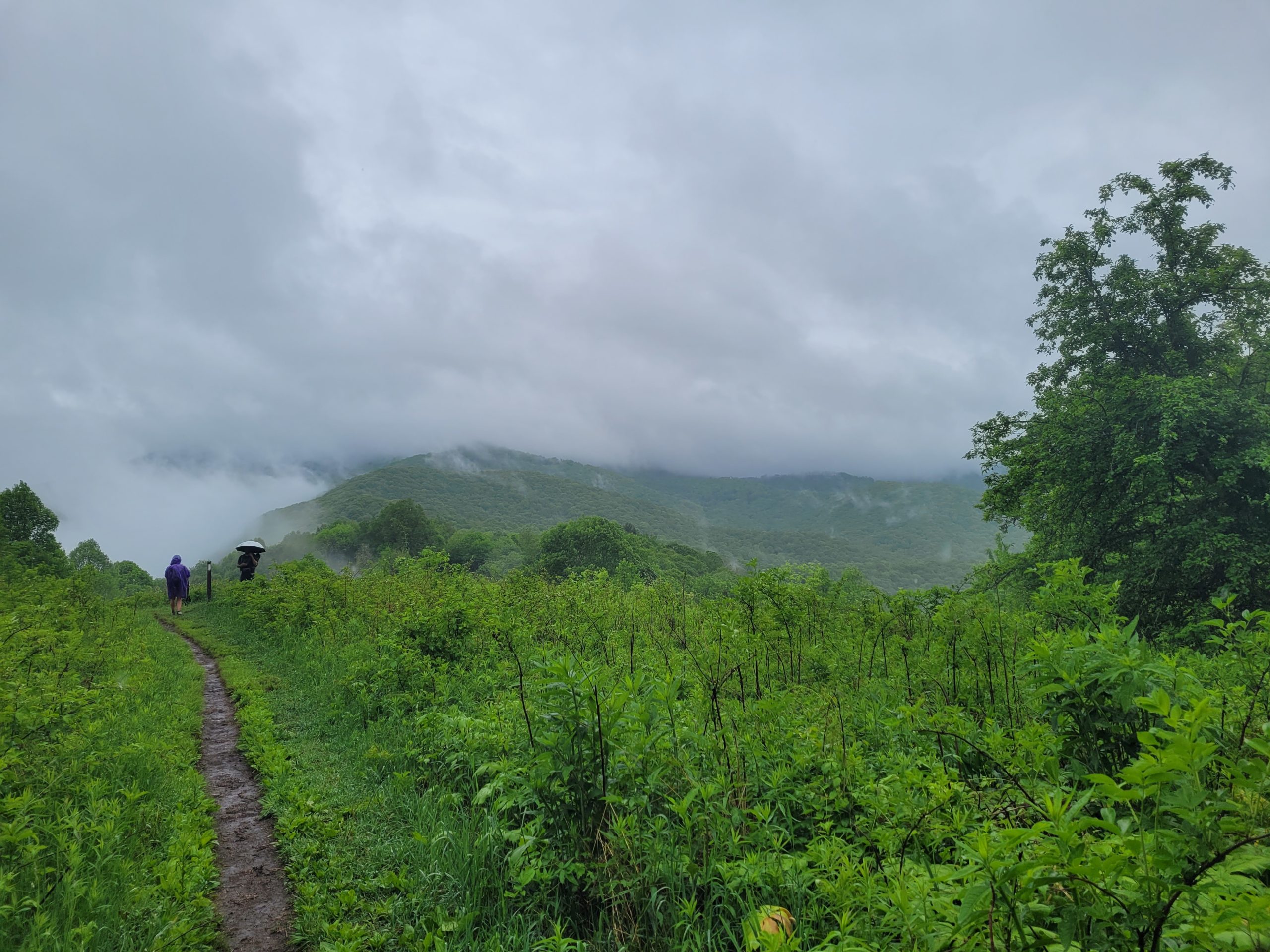
After nearly ten miles, we were hiking up a hill when the canopy disappeared and we found ourselves fully exposed on the slope of Big Bald. The trail wound through tall grass submerged in ankle-deep water. Slushy, muddy, and whipped with wind, summiting Big Bald was unlike any experience I’ve had while hiking before. No views, just a complete washout in every sense. It was surreal.
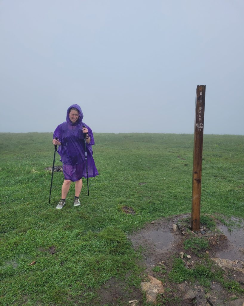
Though we had done our best to push it to the backs of our minds, the cold rain was beginning to take its toll. Our joints were stiff and fingers and feet pruney, but we made it to the shelter around 4:30pm. Fifteen miles that took a lifetime. No freebies on this trail. The shelter was spacious, so we crawled onto the top bunk and changed into the driest clothes we had. All night long, the rain echoed off the metal roof in relentless fury.
What’s next?
Erwin, TN is just a stone’s throw away. After that, we will reach another small town called Roan Mountain, TN. We’re so close to being out of North Carolina for good and will hopefully finish Tennessee before much longer (it’s confusing since we keep going in and out of each state). Over 300 miles in!

Still holding it down with the Tuna Tortilla wraps! 💪🏻 haha
I always look for chicken first. I hate tuna more and more with each meal 🤢