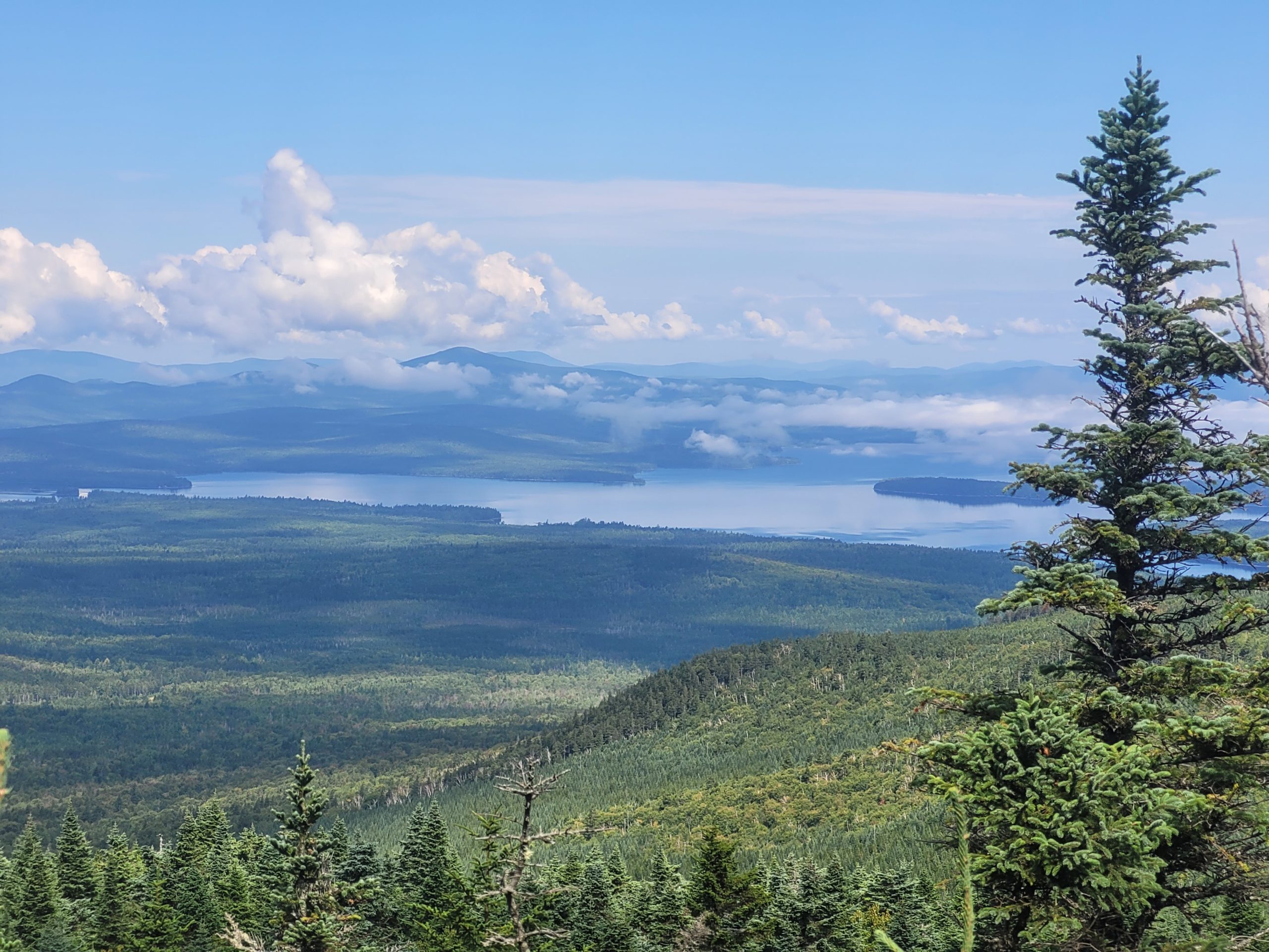
9/2 – Day 125
10.4 miles from Top Notch Inn to Middle Carter Peak
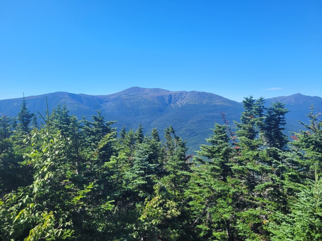
After a lazy morning, we packed up and stopped at White Mountain Café for some tasty breakfast sandwiches. Spout went to a local gear store to replace her broken trekking poles. Afterwards, we hitched back to the trail and began hiking around noon. It was a bluebird day and not a single cloud blocked Mt. Washington nor any of his company.
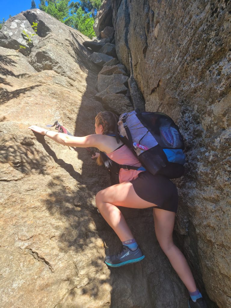
The Wildcats were next, composed of some of the most high level rock climbing we’ve yet had to do. Eventually, we made it to the top of Wildcat Peak D and continued steadily up for another two miles to the main summit. It was an altogether brutal stretch of trail in which we averaged barely over a mile per hour.
There was an unsurprising, steep decline to the final hut of the Whites: Carter Notch. There wasn’t much for us there, so we left after a short break and conquered the very steep, but non-technical Carter Dome. Outstanding panoramic views greeted us at the top.
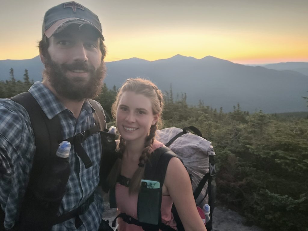
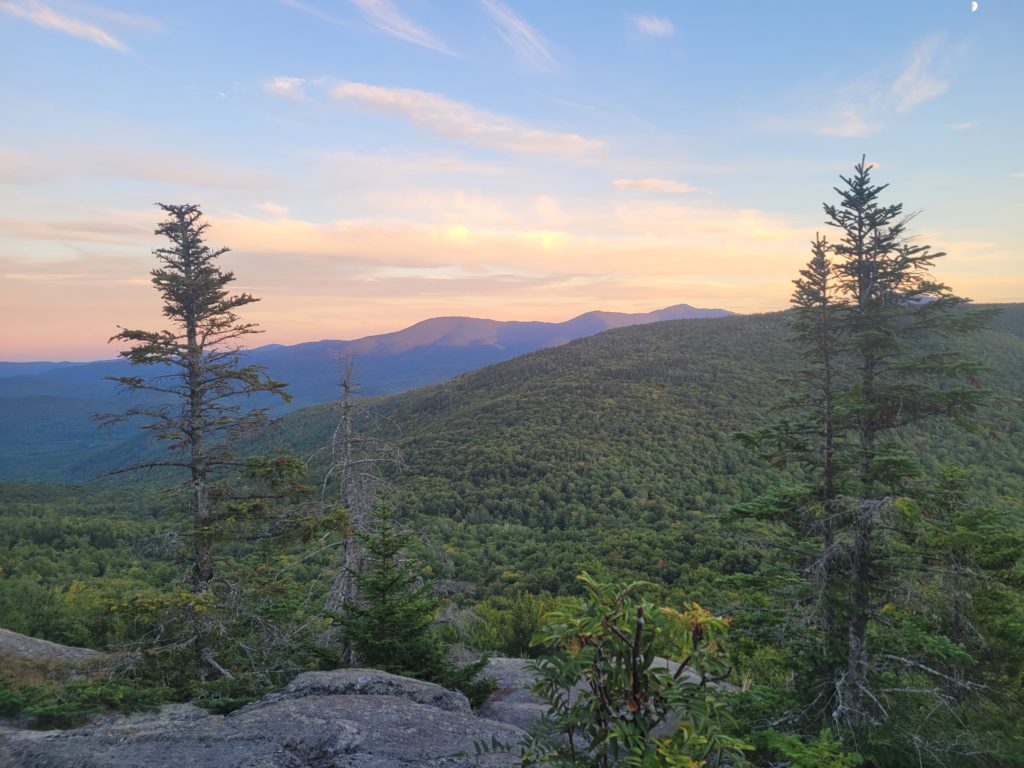
More mountains followed, including Mt. Hight and South Carter. Every step took double the effort, and we had to push ourselves just to squeak out a tenth mile. As we traversed the Carter ridgeline, we witnessed an otherworldly sunset from behind the Presidential Range. The temperature began to drop rapidly and we hurriedly found a campsite on a clearing of pine needles. It was likely the coldest night of the trail for us, sitting in the low 40s.
9/3 – Day 126
16.4 miles from Middle Carter Peak to Mt. Hayes
We broke camp at 7:45am and made our way across the remainder of the Carter peaks not much later. Descending off North Carter was not lengthy, but it was almost unbelievable that someone thought a trail could be built on nearly vertical slabs of rock. It required a great deal of patience to make it down. Even then, Spout took her third fall of the Whites and was left with a tender bruise on her hip.
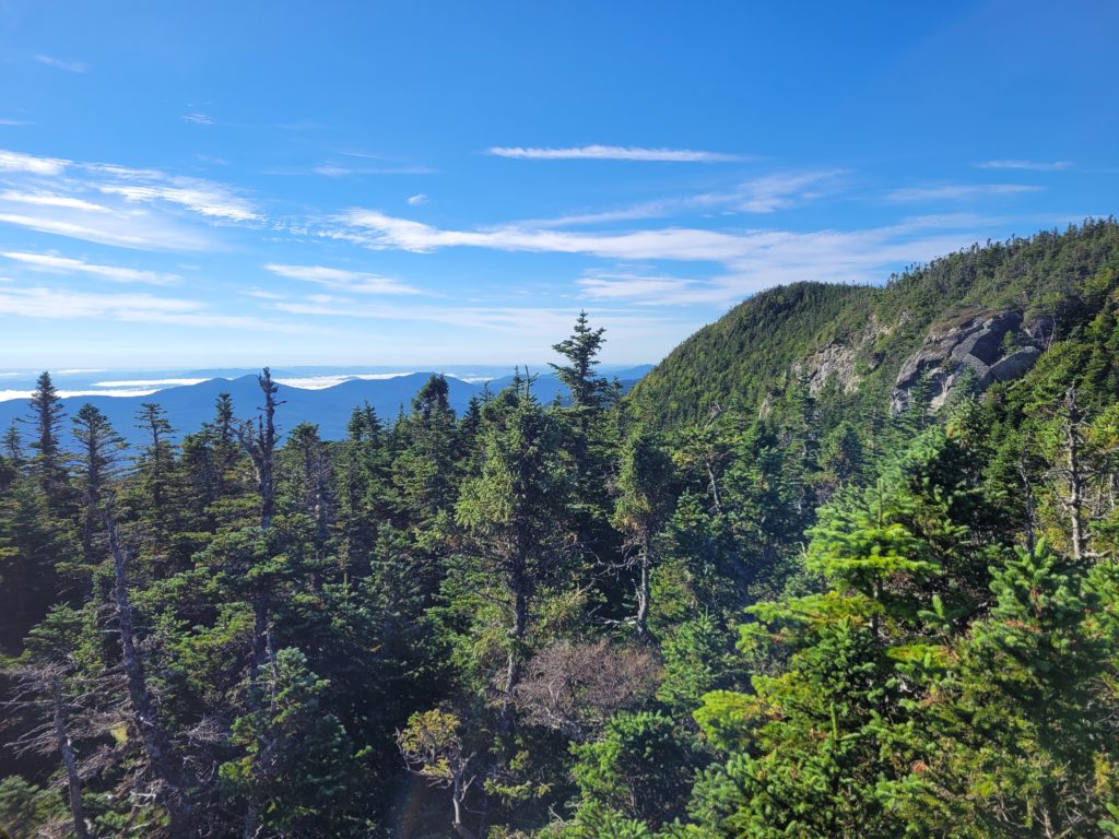
After the ordeal, she was testy. Neither of us were in a good mood really. We had a brief spat over something stupid and hiked in silence for a while up last of the Whites, Mt. Moriah. Eventually, we realized that we were actually upset at the trail building crew of the 1930s and not each other.
Like every other mile in this state, the climb up was both beautiful and painful, but we made it in one piece. The White Mountains had chewed us up and spit us back out. There we stood atop the final 4,000-footer in New Hampshire, looking back in awe to the magnificent mountains we had conquered.
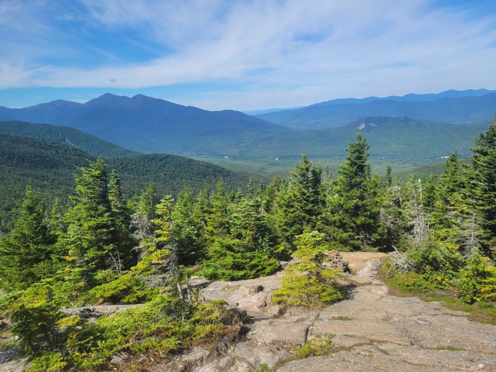
Several miles of downhill on increasingly pleasant trail followed. By the end of it, we were even walking on dirt. We reached Route 2 at the bottom of the hill, leading west into Gorham, NH. Two girls in a camper van were setting up trail magic in the parking lot. They cooked us hot dogs and chatted with us about adventures of their own. Sometime after 5:00pm, we said goodbye and continued hiking north.
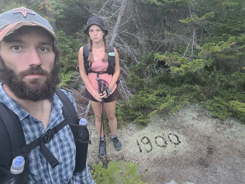
The trail went up a tall, unnamed hill. Easy by New Hampshire standards, it was likely more difficult than anything we touched south of New England, save a few exceptions. At the top, we reached mile 1,900 and now had fewer than 300 miles remaining. To celebrate, we kept hiking. We went down past a muddy stream, climbed a final, steep ledge, then found another random campsite off the side of the trail. After eating dinner it was already pitch black and we went to our tent for the night. Spout checked her phone and let me know that is was only 8:15pm.
9/4 – Day 127
15.7 miles from Mt. Hayes to Full Goose Shelter
The morning hike traversed rolling hills with a few spaced apart ponds. The unforgiving terrain has continued and every hundred feet of elevation change includes some form of rock climbing, in varying degrees of difficulty. We made decent time getting to the base of Mt. Success, where we then began a long journey to the summit, cracking the occasional Borat joke to cope with the hard uphill. It opened up at the top, crossing a mixture of slab rock and alpine bogs boarded over with planks. In some sections, the boards gave out and we had to do some tricky maneuvering to prevent stepping into the deep mud. One hiker, YaYa, wasn’t so lucky. We passed her later in the day after she had fallen waist deep into a bog and had to be pulled out using her friend’s trekking pole.
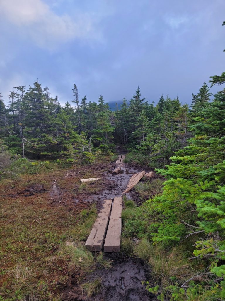
We ran into Season Pass eating lunch at the summit, then all hiked together down the treacherous north slope of Mt. Success. New Hampshire was certainly not letting us go easily, some of the most absurd scrambles of the trail were found in the mile leading up to the state border. Yes, the state border. At length, we came upon a sign that signified the border of Maine, our fourteenth and final state on the AT. It had seemed so elusive for the entire journey; a distant land that was fun to dream about occasionally, but we would never actually reach. Yet, there we stood. Spout expected to cry, but in the end we both just stared at the sign in disbelief for a few minutes, took a selfie, and trudged ahead.
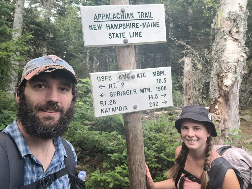
The first challenge of Maine was Goose Eye Mountain. The climb up was not particularly difficult, but still slowed our pace to a crawl and took a greater toll on our stamina than expected. We took a spur trail to the summit of Goose Eye West for a spectacular view of the mountain’s own ridgeline, as well as Old Speck Mountain not far ahead to the north. The Whites were still very much in range, but the glare of the sun among the clouds washed them out. We continued along the ridge across Goose Eye East over several boggy sections. After the final northern peak, we lowered to the Full Goose Shelter for the night. It was safe to say that my goose was fully cooked.
9/5 – Day 128
9.7 miles from Full Goose Shelter to Grafton Notch
It was a tough couple of days prior, but we woke up in good spirits. Afterall, we were in Maine! Even better, we had plans to meet up with my brother Tyler and his girlfriend Olivia in Grafton Notch State Park around lunchtime. This gave us a lot of motivation to head up and over Fullton Mill Mountain and down towards Mahoosuc Notch. If nothing else, the trail was only going to get easier from here.
Narrator: The trail did not get easier from here.
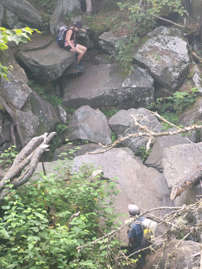
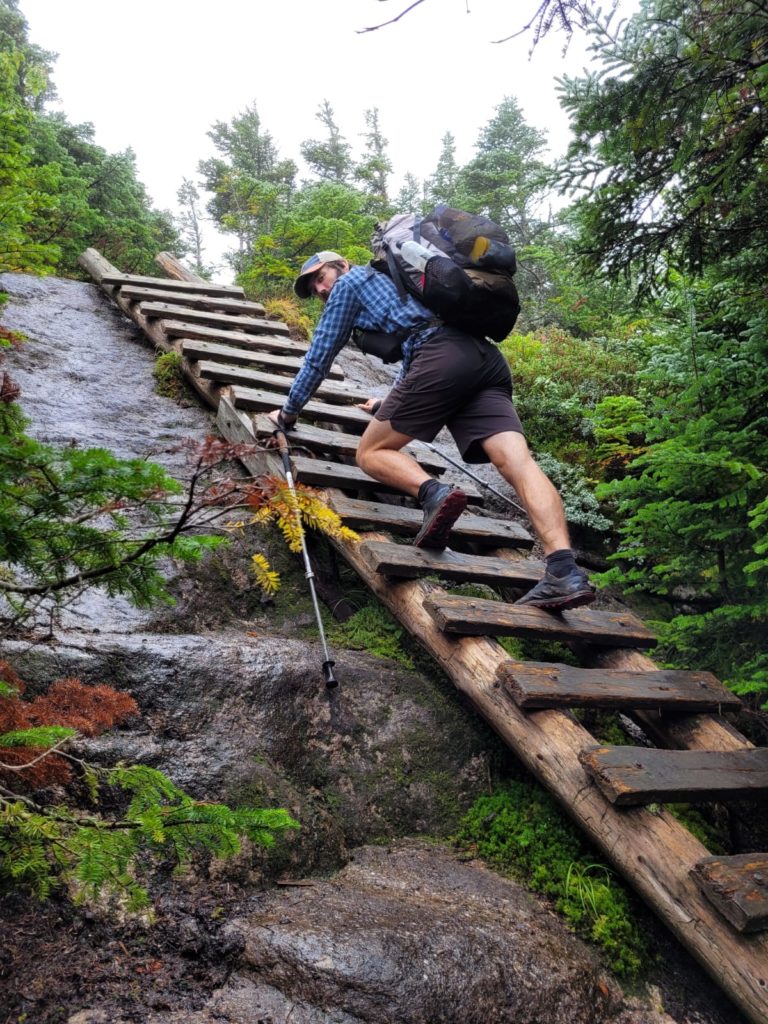
Mahoosuc Notch takes the cake for being the most insane stretch of hiking on the AT. The slope leading up Mahoosuc Arm seemingly vomited giant boulders into a groove between the hills. Deep crevasses, hidden caves, and a full mile of rock climbing proceeded. This is not “hiking” by any definition:
Each tenth of a mile took us ten minutes. After we had made it about a third of the way through, it began to rain and the difficulty was ramped up further. No longer could we trust even the most gently slanted rocks, for fear that we would slip and fall ten feet into a crevasse. Trekking poles were only a hindrance. Sitting on the edge of a boulder and dropping down proved to be an effective strategy.
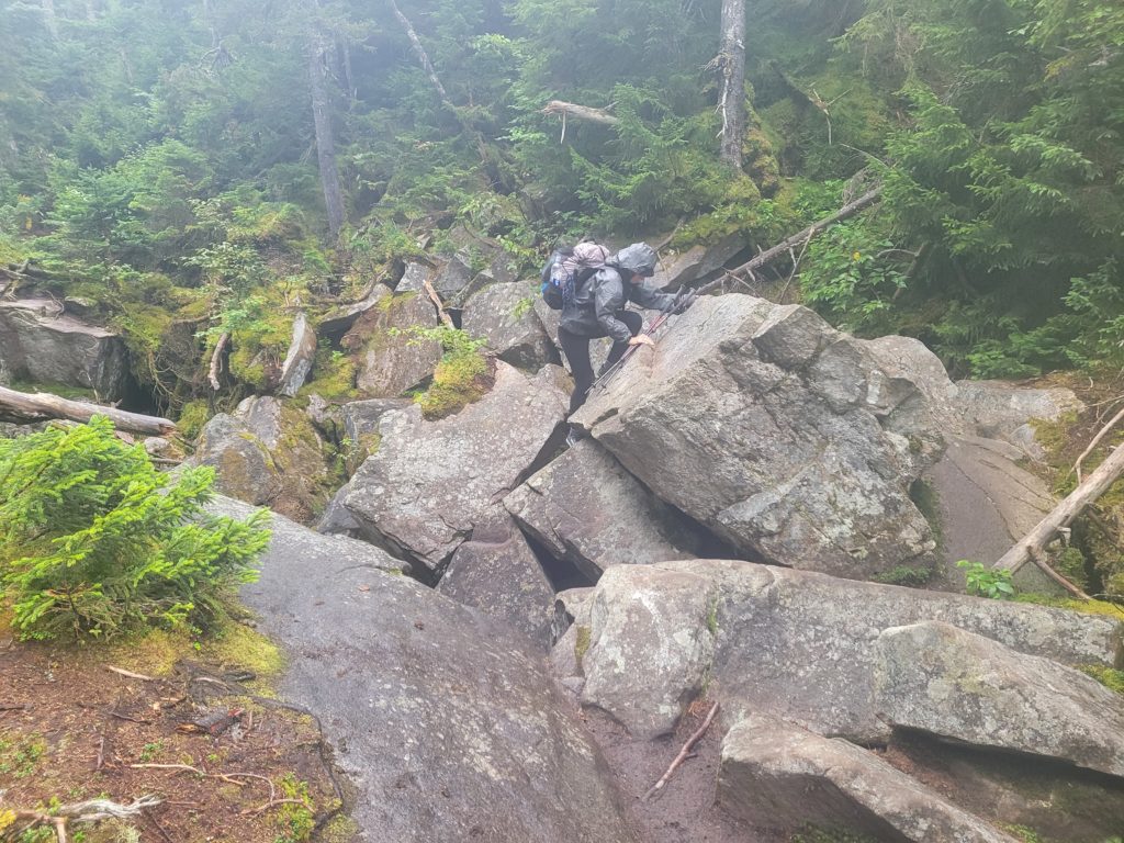
At one point, we crawled through a tight passage under a massive boulder on our hands and knees. While underneath, we took a break from the relentless downpour and snacked on the remainder of our Clif bars in the dark like two grumpy cave trolls.
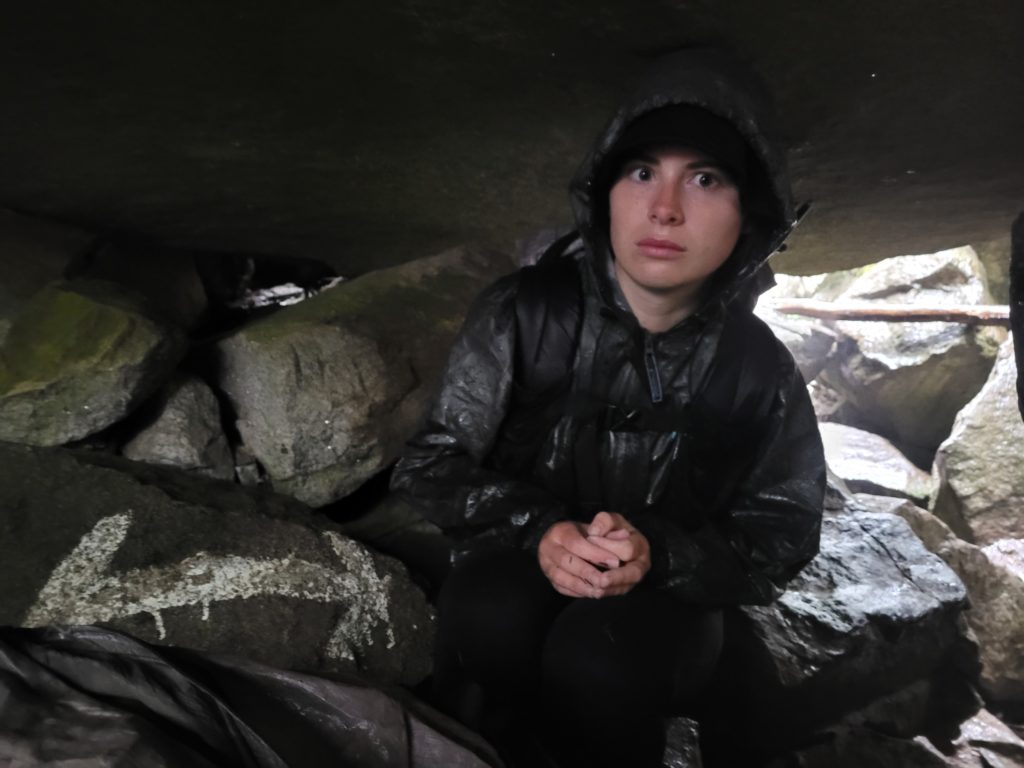
It took us about two hours to complete the notch. Our reward was one of the steepest climbs of the entire trail up the Mahoosuc Arm, mostly over slabs of rough granite paired with lightly flowing water. It was over-hyped for sure (we’ve been hearing about it for months) but I can see how it might be very difficult if we were going down instead of up. Unfortunately, it was another foggy day and we did not get to take in much of the landscape as we climbed further up Old Speck Mountain.
This was another nostalgic section for Spout and me, since we climbed Old Speck Mountain in 2020 during our one month, work-from-home adventure in Maine. We ended up arriving much earlier than anticipated, despite the major slowdown of Mahoosuc Notch. Since there was no view near the top anyway, we began to head down the mountain to cut-off Tyler and Olivia. We finally found them about two miles from the summit. Those two heroes hauled up reuben sandwiches for us all the way up the mountain. It was so awesome to see them and we got to hike together as a group down the rest of the hill, passing a few pretty waterfalls in the misty Maine forest.
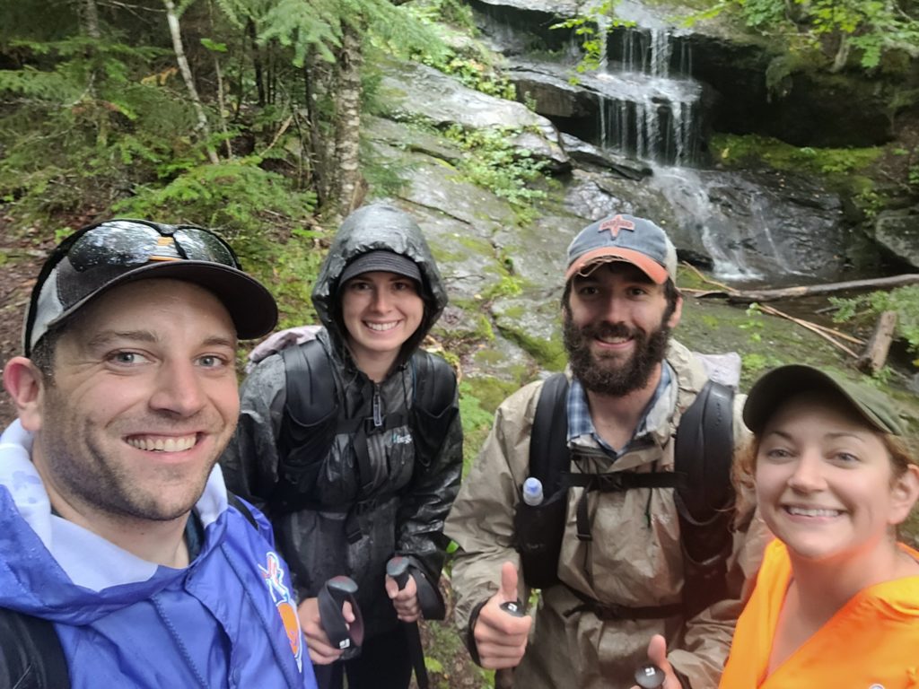
We spent the night in the West Bethel Motel (WeBeMo) which gave off major Schitts Creek vibes. The room we checked into was not even cleaned yet and the guy at the front desk told Tyler he did not really know what was going on, since his uncle typically runs the place. In my opinion though, the room was actually sort of charming.
After washing up, we went on a food tour of Bethel, ME. First was dinner at Butcher Burger, which served us tasty burgers and even better french fries. Second was the “Bethel Bohemth” banana split at a place called Sugar Shack. Third was below average beers at Sunday River Brewery. It was a good time with good company and some good eats to top it all off.
9/6 – Day 129
9.5 miles from Grafton Notch to Dunn Cascades
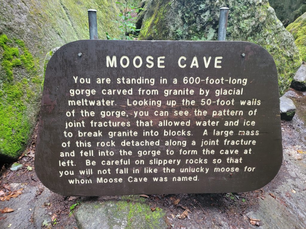
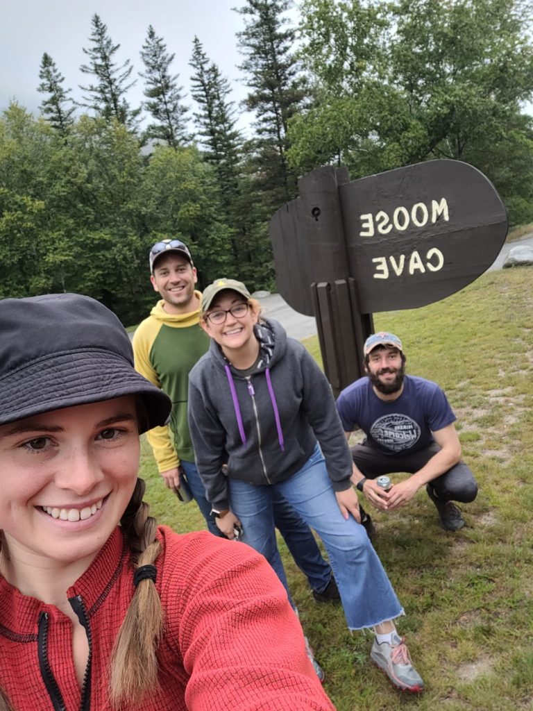
We found out in the morning that the washing machine in the annex was busted, so we had to make a pitstop at the laundromat before grabbing breakfast at the Crossroads Diner. After that, Spout and I ran around the grocery store grabbing our week’s supply of junk food while Tyler and Olivia waited patiently. On our way back to Grafton Notch, the four of us pulled over at Moose Cave for a relaxing, quarter mile hike that brought us to a neat gorge carved by glacial meltwater.
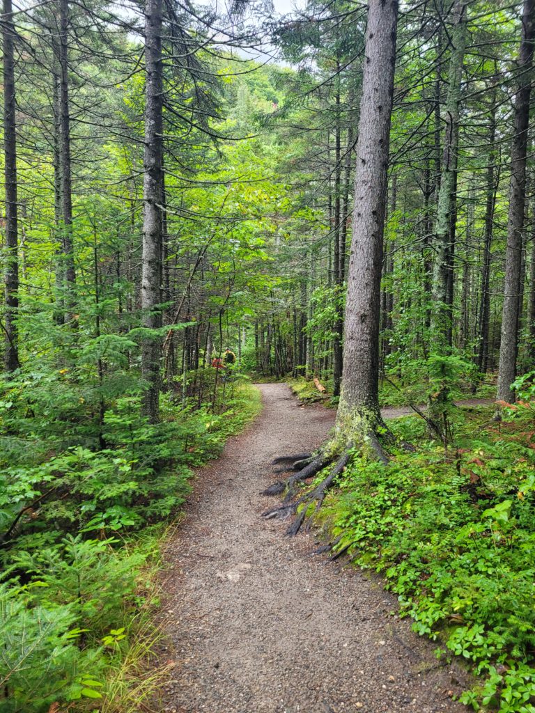
The trail was so flat and pleasant to walk upon. I realized how much I missed chill hikes that are not overly-technical rock scrambles. All the while, we chatted with Tyler and Olivia about many things, such as our looking forward to the completion of the trail and future plans to visit LA.
Around 1:00pm, they dropped us off at the trailhead and we said our goodbyes. There is never enough time to spend with family and friends out here. Away we went up the sheer hillside of Baldpate, now lost in discussion about our plans for after the hike, which draws nearer by the day.
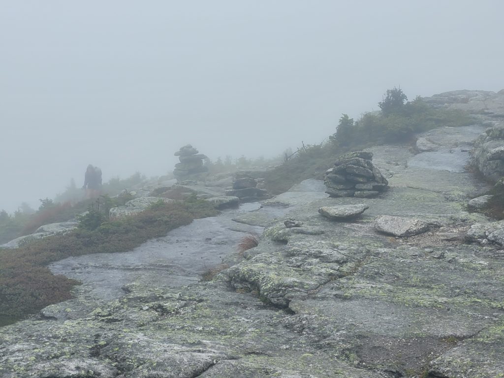
Baldpate was upset that we did not focus all of our mental energy on its grey rockyness. It grew angrier, steeper, and more slippery as we neared the summit. Again, we were stuck inside a cloud with no views. We hiked within the desolate fog that looked like the world-boundary of a video game.
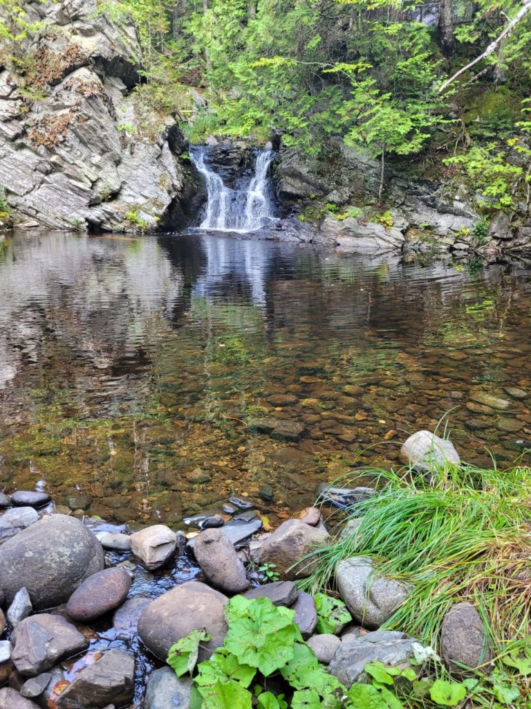
We descended from Baldpate on more wet and slippery terrain. Spout took her forth fall of the past two weeks, treating it like some sort of competition. We ate a late lunch at the Frye Notch shelter and decided to push on three more miles to Dunn Cascades. The woods were spooky and ominous as we hiked through the lingering mist, arriving at the falls just past dark. We pitched our tent in the first flat spot we found near the water. Spout’s family was doing a fantasy football draft and we just happened to have enough cell service to participate, snagging Chris Boswell as our future MVP.
9/7 – Day 130
15.2 miles from Dunn Cascades to Old Blue Mountain
We got a better look at the waterfall in the morning by following a short spur trail near our campsite. After that, Spout and I packed up and set off up Wyman Mountain. It was a long, gradual hike with few obstacles save for the normal roots and rocks of the northeast. We passed the secluded, Surplus Pond along the way, then topped out around noon.
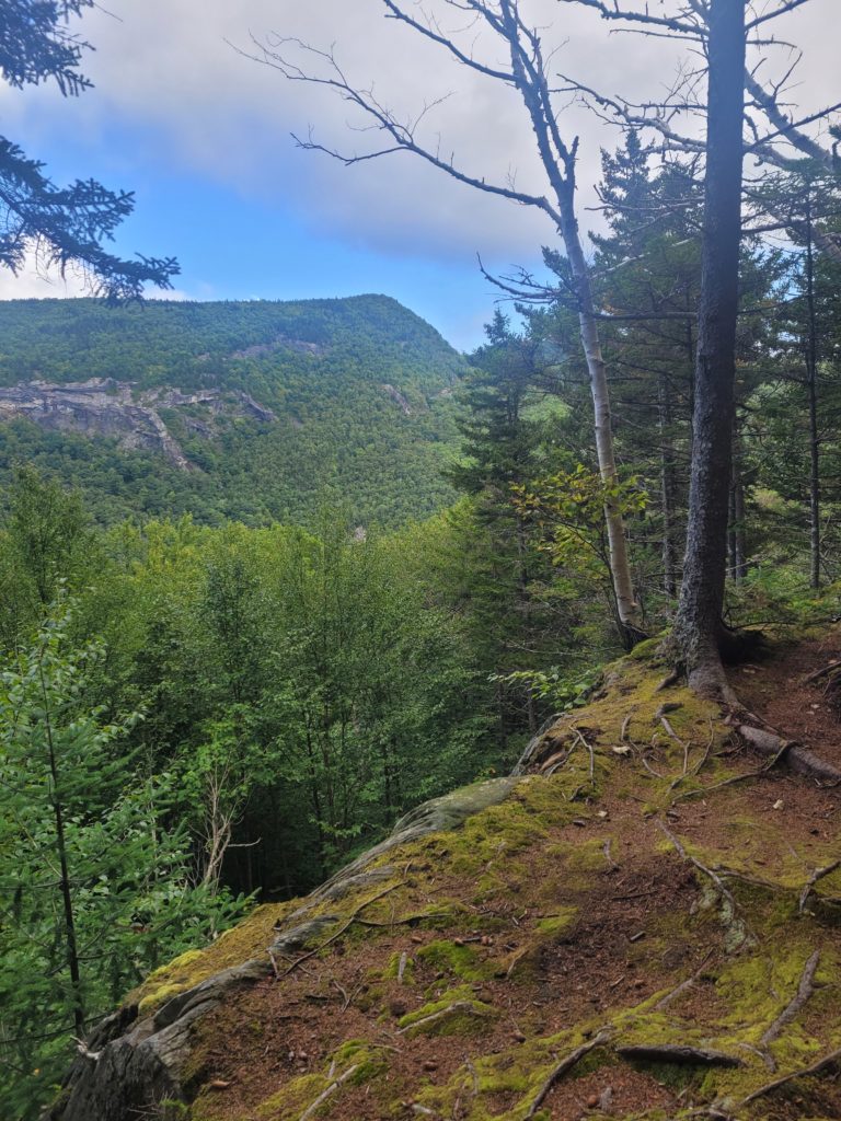
This section was reminiscent of the mountains in North Carolina, at least as far as difficulty goes. We tip-toed down the steep north slope of Wyman, then faced the short but challenging Mount Moody that climbed like a 4ker. There was no relief, every step was either straight up or straight down. We were glad, however, that we didn’t need to use our hands more than a couple of times on some re-bars.
At the bottom of Mount Moody, we reached South Arm Road. A deep voice in the woods called out, “Ahoy NOBOs”. Naturally, we wandered into the brush to see what the commotion was about. An old man with a thick, grey beard that was fuller than mine had set up a canopy and bug net with tables, ashtrays, and coolers. A couple of hikers were sitting around in camp chairs drinking beer. The man introduced himself as Patriot. He was a crazy old coot but was otherwise very kind to us. He handed us a bag of snacks to dig through and gave us each a cold Gatorade. Everytime we thanked him, he replied, “no, thank you for hiking”. Eventually, he abandoned his post to drive some other hikers into town and we walked away in confusion.
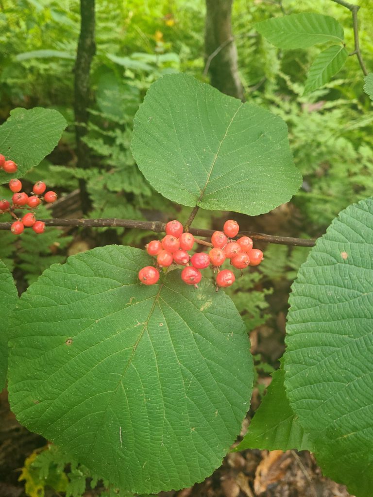
We pushed up the exhausting, Old Blue Mountain late in the evening. We passed frequent patches of hobblebush, with bright red or yellow berries sticking straight up. There were also some beautiful views of the less dramatic, more rounded mountains of Maine and we even spied a lake far in the distance. A bit farther down the trail, we crossed a small brook and found a flat spot to pitch our tents for the night.
9/8 – Day 131
15.9 miles from Old Blue Mountain to Little Swift River Pond
It was a chilly morning and we had some condensation to deal with on our tent since we slept with the vestibules down. We hit the trail around 9:00am, traversing some pretty, exposed rock atop Bemis Mountain. Wild blueberry bushes were bountiful, as well as a few families of ruffed grouse pecking about. At one impressive viewpoint, we saw several distant islands floating in the middle of the gorgeous, Lake Mooselookmeguntic.
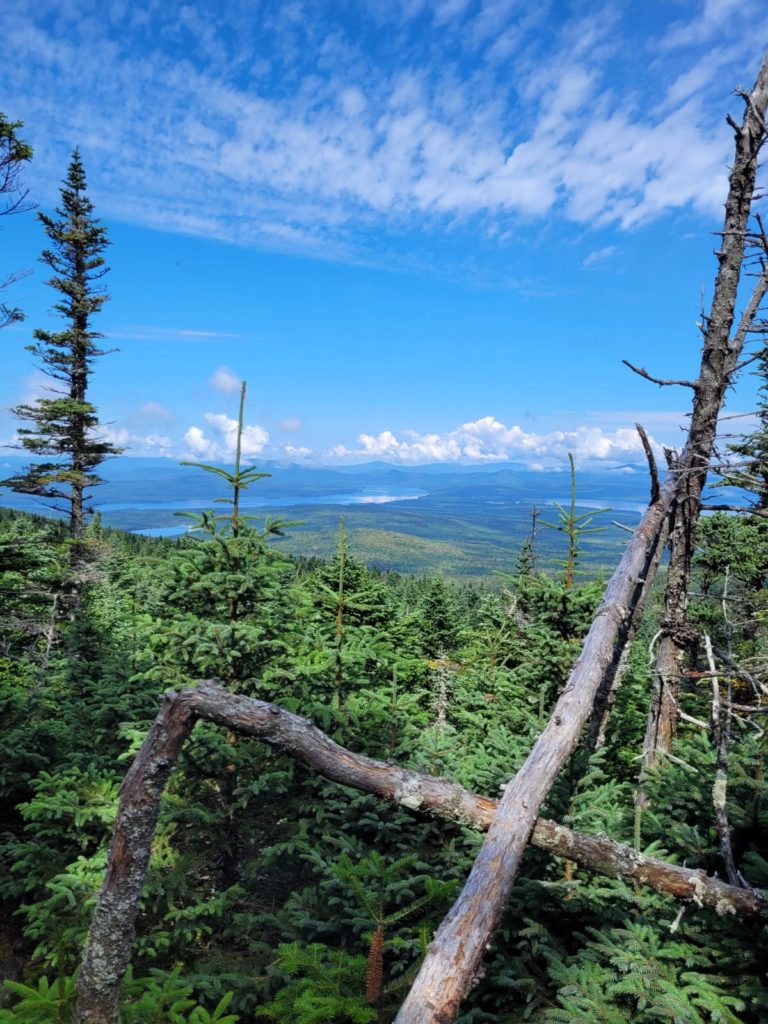
The terrain was easily manageable after Bemis Mountain. The greatest hurdle was the surplus of mud and flooded trail following a few days of rain. We dipped down to Route 17, with an even closer look at the expansive lake, then climbed up a short hill. There, the trail really began to level out. Moxie Pond and Long Pond were both splendid waysides along our trek. As we made our way past the latter, we heard the distinct call of a loon far out on the water.
Spout forgot her phone at the Sabbath Day Pond Shelter and had to hike an extra mile of shame to retrieve it. The delay forced us to stop a bit short of the Little Swift River Pond campsite and we plopped down near a quiet marsh. We realized we had only passed two people the entire day on trail, and our stealth camping has contributed to the feeling of complete isolation. The moon was full, illuminating the marsh behind our tent and providing dim light for us to complete our camp chores before bedtime.
Where is everyone?
We are at the point in the hike where everyone is getting a bit antsy. Many hikers we know are “over the trail”. One even told us, after refusing to climb a fire tower at the top of a wooded summit, that he was “done with views”. The grumpy NOBO hiker is apparently a trope that occurs sometime after four months of doing the same thing every day. I personally do not feel like it is affecting us as bad, but I’d be lying if I said we weren’t looking forward to finishing.
We seem to have caught up with an entirely new bubble of hikers. The fallout of the Whites is evident. Hikers had either sped up to catch a window of good weather through the Presedentials or slowed down for the opposite reason. Habib turned on the jets sometime after Front Royal, VA and is now weeks ahead. Happer is only a couple of days in front of us, but it is difficult to make up miles in this section to catch him. Wraps told us he is trying to finish as soon as possible. The majority of hikers we we have met throughout the trail are still behind us. Our plan is to just keep hiking however feels natural. We’re still so grateful to be out here.
What’s next?
Difficult terrain continues through southern Maine. We are nearing the most remote sections of the trail. The 100 Mile Wilderness is not far away, neither is Mt. Katahdin.
Stay Dirty,
Candyman & Spout

