8/1 – Day 93
18.8 miles from Graymoor Spiritual Life Center to RPH Shelter
We have found that the recipe for a strong day of hiking includes some sort of town food about fifteen miles into the day, preferably with limited business hours. This forces us into breaking down camp before 9:00am, ensures we only take short breaks throughout the afternoon, and sets us up for an easy finish after we recharge with a big meal. The plan was executed perfectly today.

Spout and I made heated discussion to distract ourselves as we eliminated three, six, nine miles across the rolling mountains of New York. It was not excessively hot, but the humidity continued to demand greater sacrifices of our body fluid. At one stream crossing while we were taking a snack break, a hiker named Brunch wrung out a disgusting load of sweat from his t-shirt right over the water source. Spout lost her appetite for her ramen noodles.
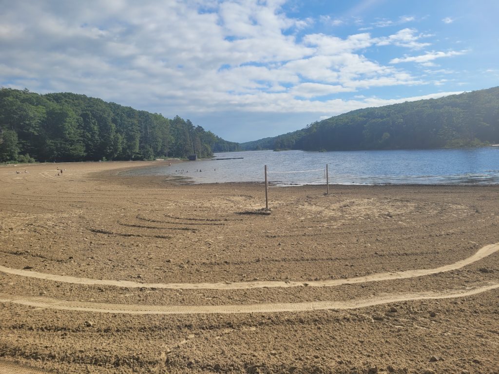
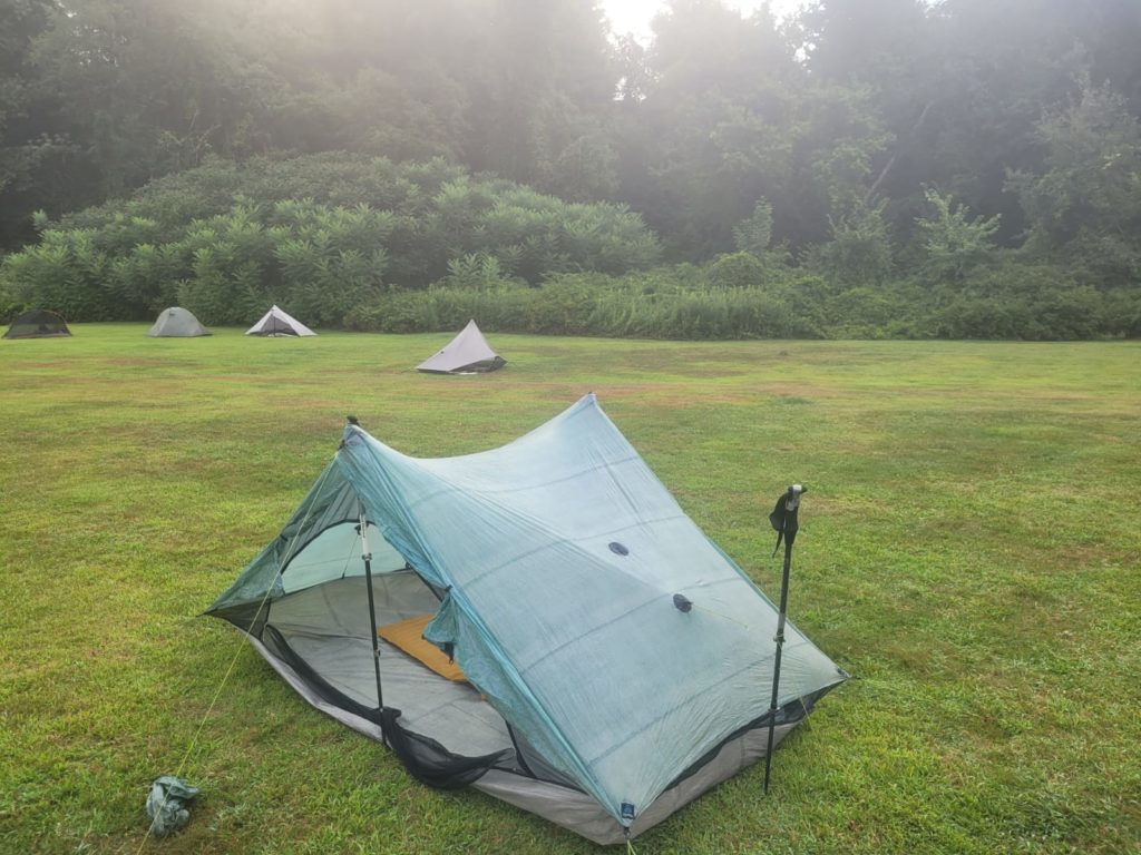
We chugged ahead nearly fourteen miles to Canopus Lake, where we followed a difficult 0.3 mile blue blaze to a concession stand, arriving a half hour before closing at 3:30pm. After lunch, we hiked out with Season Pass and Wraps. The trail took us over a number of rocky overlooks loosely covered with black birch trees. After five miles, we arrived at the RPH Shelter, an odd white shack with several bunks. The front lawn had plenty of chairs, picnic tables, and flat spaces for tenting, which we opted for instead. At this point, it has been weeks since we have slept in a shelter. Keylime’s cousin showed up shortly after with trail magic of pizza and beer.
8/2 – Day 94
17.4 miles from RPH Shelter to Station Inn Pawling
It didn’t rain through the night, but the humidity sat heavily in the air. The high was in the mid 80s. Despite a step down in heat, every inch of my skin and clothing is wet from sweat at all times while hiking. Climbing onto Hosner Mountain was the first of many slogs that took us across an exposed summit with views of farmland. We continued deli-blazing our way through the state of New York. In five miles we reached Mountaintop Deli for some delicious breakfast sandwiches and iced coffee. As we sat outside completely drenched, Spout suggested we get a hotel so we could pretend to be normal people that night. We booked the only available stay in Pawling, NY, which was roughly twelve miles north.
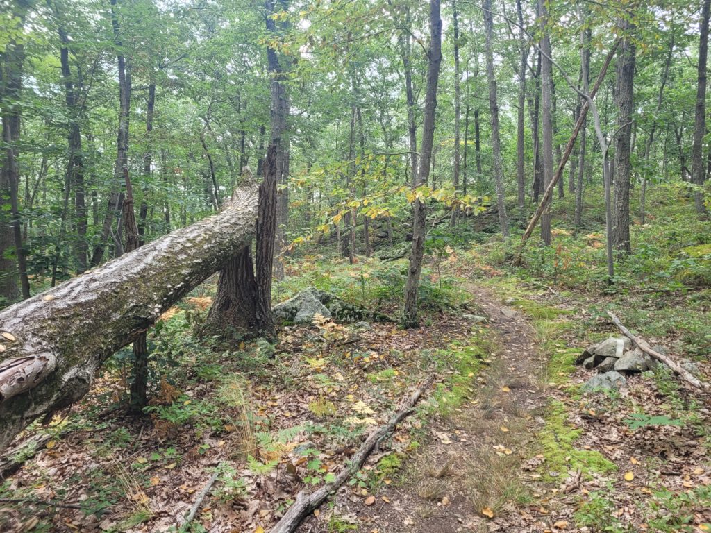
The afternoon was rough for me. In the span of a mile, I had bugs fly into my eye, up my nose, and down my throat. This is the third insect I’ve swallowed this hike, and can say with confidence that mosquitoes taste the worst. The trail took us over rolling terrain with elevation change reminiscent of our early days in Georgia, only not quite as smooth and occasional patches of rocks or sketchy scrambles forced us to turn off our hiker autopilot.
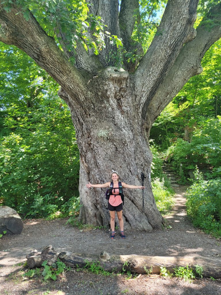
We passed Nuclear Lake, the site of a 1970s nuclear disaster. Rather than go swimming and gain a new superpower, we kept stomping ahead, eager to reach town, relax, and take unnecessarily long showers. It was one of those days where I, admittedly, did not appreciate the beauty of the scenery around us. I knocked out a few more chapters of my audiobook, The Two Towers, and was relieved when we finally reached West Dover Rd at 5:00pm. The largest oak tree on the entire AT stood towering next to the road and made for a perfect hiding spot while Spout scored us a ride to Pawling, NY.

The Station Inn was our most expensive night on trail, partly due to increased northeast prices but also because it was the only stay in town and had amazing, modern rooms. The town itself was small, friendly, and quiet, save the occasional train. A railroad ran through the center, with a variety of local shops and restaurants lining the streets. We showered, did our laundry at the laundromat, and bought a buffalo chicken pizza and a six pack of Corona to bring back to our suite. We layed in bed watching Netflix until the heavenly soft mattress began to feel oh so comfortable and we drifted away… Sometimes, backpacking feels like torturing yourself so that you can enjoy basic creature comforts to a heightened degree. It’s like a reset switch for a world full of luxuries that we take for granted.
8/3 – Day 95
18.1 miles from Station Inn Pawling to Schaghticoke Mountain
Check-out was strictly at 11:00am, so we left our room at 10:59am following a breakfast of leftover cold pizza and beer. I was shamelessly buzzed strolling into the CVS for a resupply to get us through the next two days. We’ve consistently been carrying too much food, so the limited offerings of the pharmacy played to our favor and we left with only a few additional snacks. PSA: Peach sour patch kids have just been released and they taste like peach rings with a better texture. Delicious.
We ate breakfast at Sunflower Cafe and managed a difficult hitch to the trail where the Dover Oak stood silently awaiting us. Despite the refreshing night in town, we felt quite lethargic hitting the trail, especially through an exposed pasture that was preheated to a stout 90 degrees by time we started across. We traversed several short fields and plank-walks over marshy grounds before meeting up again with Season Pass and Wraps. We scored back-to-back trail magic from a couple hiking SOBO handing out fruit and then a LASHer, Rock Steady, whose wife Janelle was posted up at Hoyt Road with an array of treats. We were living the bubble life, running into trail angels daily, being little social butterfies. The downside is that we feel constantly obligated to take breaks and chat with the people giving us free food- it’s rough, I know.

After the road, we officially crossed into Connecticut, the gateway to New England! It’s hard to fathom that we have hiked all the way from Georgia, considered the deep south, now to New England. Connecticut greeted us kindly. The trail through the first handful of miles was buttery smooth, despite plenty of elevation change. We collided with, then ran parallel to Ten Mile River with glimpses of the rushing water. The cherry on top was reaching the 2/3 mark of the AT, though there was not even a sign to mark the tremendous milestone.
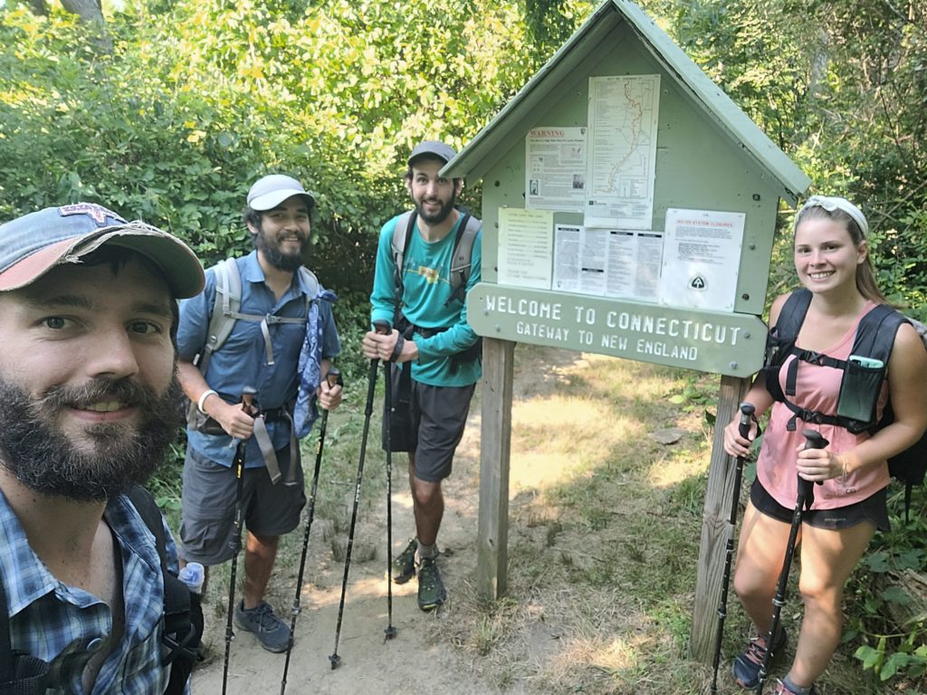
Spout and I hiked with our friends as the westering sun produced as comfortable of an evening as we could wish for. We made some silly conversation about the Kardashians that eventually evolved into more serious topics that kept us well occupied for the next difficult climb. It is amazing how efficiently one hikes when lost in conversation. It is many times the only difference between a hard and an easy day. As dusk settled, we arrived at Schaghticoke Mountain campsite (we say ‘she-got-a-coke’) and pitched our tents among a half dozen other thru-hikers. The mosquitoes are getting worse as we go north, so we quickly retired to bed to avoid being eaten up.
8/4 – Day 96
16.8 miles from Schaghticoke Mountain to Cesar Brook
Excessive heat advisory: high of 96 with a heat index well into the 100s. Spout and I ate our breakfast and sweat our first droplets of the day at 8:30am before even starting to hike. The next series of hills were barely tolerable, but it was clear that we had only a few hours remaining before the world caught on fire. We crossed CT 341 to find a cooler stocked with ice cold Gatorade. It quite literally may have prevented us from heat exhaustion once we began slogging up the ridge leading four miles to Caleb’s Peak.
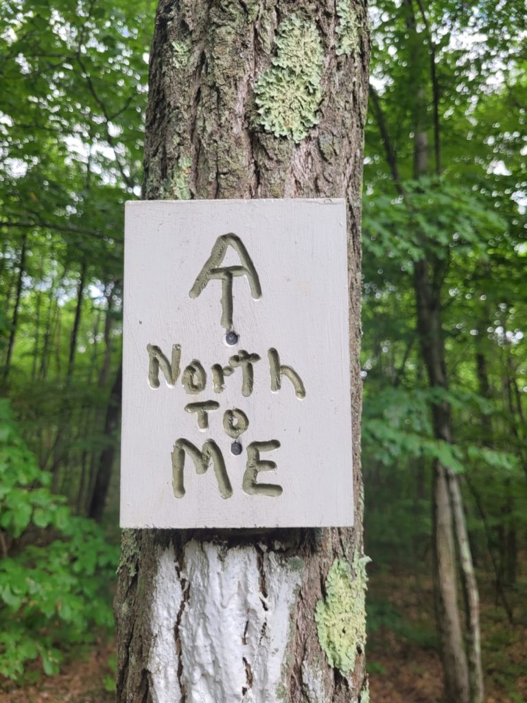
Spout was clearly struggling and took frequent breaks atop the crest of each hill we passed. The protection of the green tunnel was weakening, as much of the Connecticut woods was constituted by narrow, loosely placed trees that let in the scorching rays of the afternoon sun. Once we had summited the peak, we descended over an extremely steep cascade of rocks leading to a mile long dirt road at the base, following the Ten Mile River.
Janelle was again waiting at the road, supporting Rock Steady who was finishing up a 300 mile section hike. We took a short lunch in the shade by the trail magic, slugging more Gatorades to keep up our electrolytes. Wraps caught up with us and we hiked on together through a flat open field. Despite it being perfectly flat for nearly four miles, the heat was nothing short of unbearable when we were left exposed to the sun. We took another short break with Cabbage at a shaded piped spring (the first in over a week) and enjoyed the clear, ice cold water gushing from the mountain side.
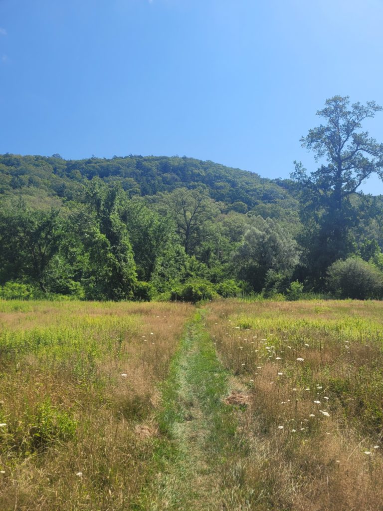
Now after 5:00pm, the temperature showed no signs of dropping. The consecutive 500′ climbs were, without being too repetitive, very hot and very difficult. The final push took us to the top of a rocky outcrop among a pine forest with a nice view towards the southeast. Clouds were finally beginning to roll in and we were blessed with a sprinkle of rain before reaching a campsite along Cesar Brook.
8/5 – Day 97
18.8 miles from Cesar Brook to Salisbury
Arizona is not hot. Nevada is not hot. Connecticut though? It’s hot. At the very least, I have never felt so vulnerable to the summer heat in the northeast, whose fury is not in the least due to overwhelming humidity exceeding 80% during multiple days in the past week. Even Season Pass, who lives in Orlando and is a veteran of desert hiking on both the PCT and CDT, says that “the AT feels 50,000 degrees hotter”.
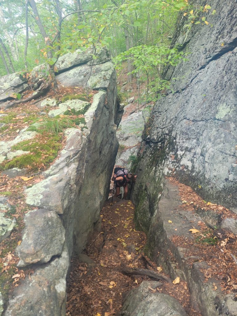
Spout and I were close to our breaking point after a demoralizing crawl over two, back-to-back hills positioned immediately after our campsite. Gnats swarmed our eyes and ears and noses and we felt tremendously sluggish due to lingering dehydration from the previous day. There were no views to reward us at the peaks, only bare rocks that made us sweat even further, then some truly daunting descents that offered little relief. We put our heads down and conquered the hills, bagging only a meager four and half miles. On the final descent, we spied a red cooler as we neared Mount Easter Rd, fully expecting to find it left empty (which is quite common). To our surprise, it was full of ice cold Gatorade. Yet another Connecticut trail magic that saved our lives.
Feeling the boost, we gained some momentum along the next stretch over Mount Easter and several miles leading to the Hang Glider View, looking out over the Lime Rock Speedway. The sound of screeching rubber on asphalt was audible as we left the ridge and came upon Falls Village.
We took a blue blaze to Mountainside Café for lunch to reward ourselves for deleting twelve miles before 1:00pm. It was a cute spot that served us stellar tomato jam burgers and thick chocolate milkshakes. The A/C dried my sopping wet button-down into a crusty sort of material that felt like it might crack if bent in half. When I stood up from my chair to use the restroom, a white ring of God knows what had formed from the resulting pool of sweat leaking off my shorts. I would never in a million years have though it was possible to be this disgusting. Spout and I tell ourselves that one day, we will feel clean again. One day.

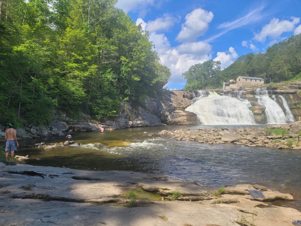
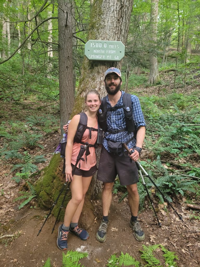
Leaving the café, we walked a flat mile to Great Falls and took another long break to soak ourselves in the Housatonic River, ignoring the signs that said the water may be polluted runoff. Spout and I were joined by Wraps, Season Pass, Eli, High Kick, and Socko on the rocky shore. The waterfall was gushing after a few rainy days and made for a beautiful backdrop above the riverside. An hour later, we climbed Mt. Prospect and subsequently reached another huge milestone: 1,500 miles north of Springer Mountain, GA.
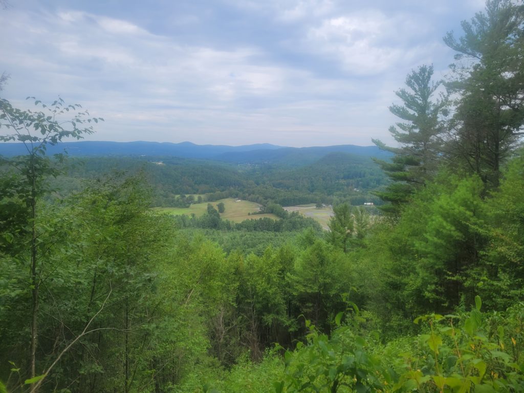
Spout and I trudged ahead with Wraps and Season Pass, passing an open valley with a spectacular view of the Taconic Range, including the highest peak in Connecticut, Bear Mountain, on deck for tomorrow. We reached a road leading to Salisbury and hitched to LaBonne’s Market for a single day resupply before Great Barrington, MA. With no plan or place to go, we smashed a half gallon of ice cream together and walked to the woods on the outskirts of town to plop our tents in a stealthy pine grove.
8/6 – Day 98
21.3 miles from Salisbury to Great Barrington
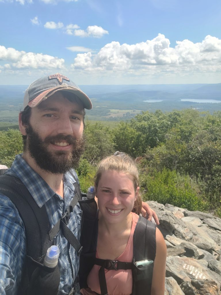
We were packed up and ready to leave by 8:30am when an older gentleman came by and talked our ears off about points of interest on the AT all the way through New Hampshire, which we will never remember. A half hour later, we began climbing up a drawn out series of hills to the summit of Bear Mountain, the highest peak that lies solely within Connecticut. Interestingly though, it is not the state high point. “In the 1940s, the United States Geological Survey determined that the highest elevation in the state, at 2,380 feet, was actually on the nearby Connecticut-Massachusetts border, on the southern slope of Massachusetts’ Mount Frissell”.
It was still exceedingly hot, but not quite as bad as the previous two days. After knocking out the first 2,000-footer since Pennsylvania, the north side of the mountain took us down, down, down, past the Massachusetts state line, into the coniferous depths of Sages Ravine. An old growth hemlock forest stood proudly among the deep, carved ravine formed by Sawmill Brook. We came upon an oasis of a swimming hole about a quarter mile in, with several other hikers already enjoying an eight foot cliff falling into refreshing water. Submerging ourselves in the ice bath was exhilarating and seemed to instantly cure our budding exhaustion.
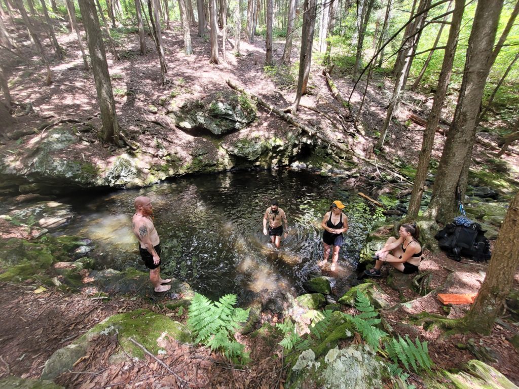
Just after redressing, we made another stop a tenth of a mile north at an equally wonderful swimming hole formed at the base of two short waterfalls. Delayed but reborn, we immediately began another two-mile climb to Mt. Race. Towards the end of the ascent, the trail ran along an open cliff face entirely exposed to the beating sun for the remainder of the hill. Though the AT recieves some criticism for being isolated in a green tunnel of trees, when you are actually on trail exerting yourselves in extreme heat, you crave the sweet relief of shade at all times.
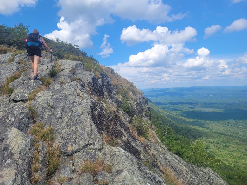
Last but not least, Mount Everett stood in our way of reaching the next town. We hauled 800′ up in less than a mile, a scramble that SOBOs compared to the infamous White Mountains of New Hampshire. The summit was scattered with short, dwarf-like pines and rich with the scent of warm evergreen. The descent of Mount Everett was composed of brutal, exaggerated downclimbs that terrorized our knees and made us trust too strongly in the deteriorating tread of our shoes. Once we finally reached the bottom, we had only five miles of perfectly flat terrain to the road leading to Great Barrington. Easy, except much of it was through bogs swarmed with pesky mosquitos.
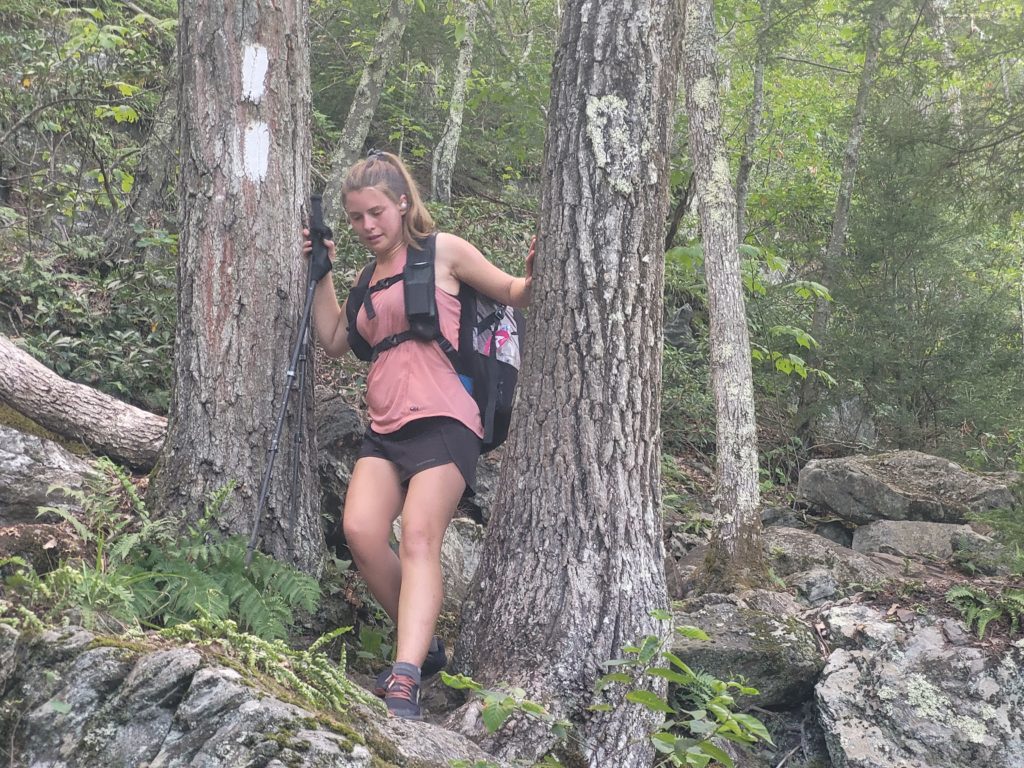
We were tired and concerningly sore when we reached US 7. Miraculously, we managed a lightning fast hitch to the McDonald’s in Great Barrington, MA. Our order: four double cheeseburgers, two McChickens, an eight piece McNugget, a large fry, two large milkshakes, and a large Dr. Pepper. We joined the clean plate club, then walked next door to the Berkshire South Regional Community Center which offered free tenting in the yard behind their gym.
8/7 – Day 99
0 miles
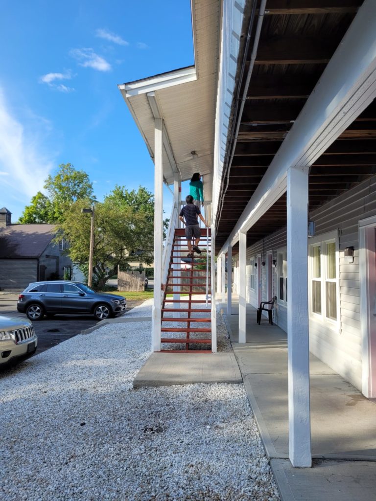
For some reason, I did not fall asleep the whole night. Spout slept poorly too, and it forced our hand into taking our ninth zero day. Wraps was already staying with a school friend at the Travelodge next door and offered to split the room with us and Season Pass for the next night. It smelt like hiker funk and was not particularly clean, but it was in a good location near the grocery store, McDonald’s, Barrington Brewery, and several restaurants, plus we were able to shower and do laundry on site.
Before we met at the motel, Spout and I ate breakfast at Cafe Rio, then resupplied at Price Chopper. It was a typical grocery load for the two of us. Birthday cake flavored Oreos have become our favorite, and we typically go through a 16oz package every other day. I eat cold couscous every single night, with few exceptions. Spout is holding strong with her delicious and nutritious Maruchan ramen noodles.
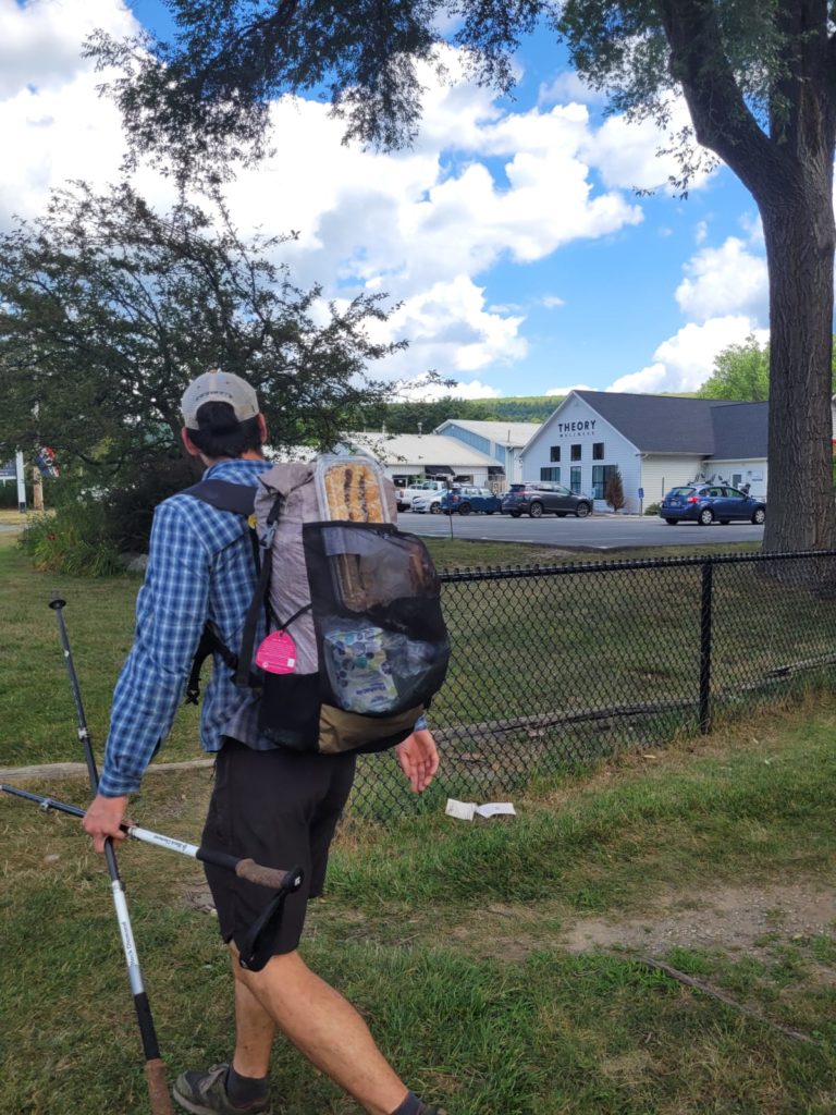
We went to the motel and spent much of the afternoon and evening laying down watching The Office and Impractical Jokers with Wraps and Season Pass. We left once to grab beer at the brewery, but it was a lazy day for the most part. We dodged a heavy downfall of rain around 5:00pm and skipped another 90 degree day of hiking. For those reasons alone, I consider it a win. That night, I was asleep before 10:00pm.
What’s next?
The trail in Massachusetts is shy of 100 miles in length. Afterwards, we will enter Vermont. The trail just keeps on giving!
Stay dirty,
Candyman & Spout

Awesome journaling! Enjoyed reading every bit of it,! Love you both!💞💕
alex you need to shave my man, amy i miss you so much!! i cant wait to see you guys when you get back!
no