5/10 – Day 10
12.7 miles from Cold Springs to NOC
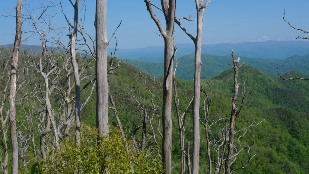
From our site at Cold Springs, we continued north along Copper Ridge and reached Rocky Bald. The morning sun was just kicking into gear and soon ate the remaining fog that settled at the basin of the distant peaks. We crossed Telico Gap, and started a longer climb to Wesser Bald. At the top sat a basic, wooden observation tower that boasted more mountains in view. So far, the terrain of North Carolina has been much more exaggerated than that of Georgia.

We began walking along a narrow ridge with spectacular overlooks to either side. This continued for a few miles before the trail shot downward steeply. We carefully lowered ourselves down a rocky staircase fully exposed on the far edge of the ridge. The downhill continued for the rest of the day, over 4000′ in under 10 miles. I sure hope we don’t have to go back up that tomorrow…
We made it to NOC around 12:30pm. We immediately went to the River’s End restaurant for some lunch and were joined by another thru-hiker, Bard. Afterwards, we went down to the river and soaked out feet in the cold water as competitive kayakers practiced in the rapids.
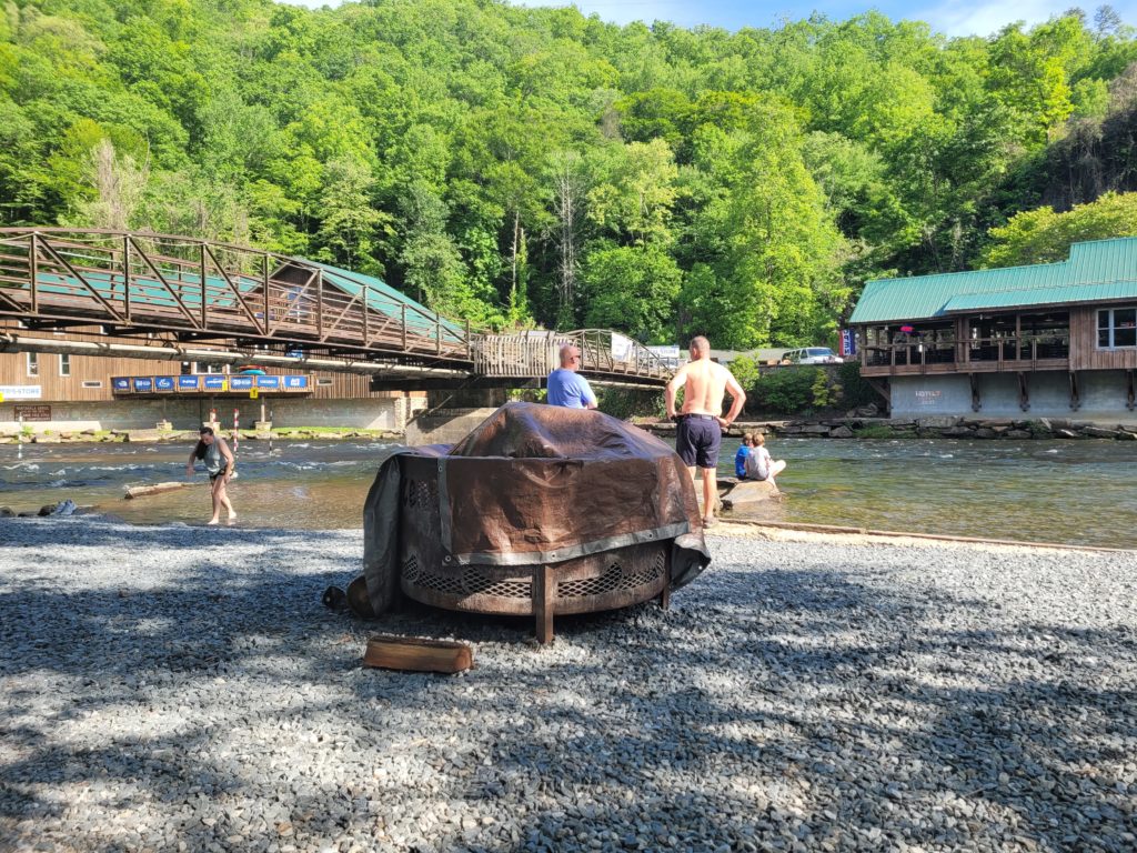
We hung out for the whole afternoon in some lounge chairs with Stryder. He was taking a zero there, and told us about a secret group camping spot with platform tents already setup that we could crash in. He told us the staff was cool with it for thru-hikers. After a second group dinner at River’s End, we walked to the platform tents and snuck in. As soon as we finished inflating our sleeping pads and were about to fall asleep, a security guard came by, asked if we were hikers, then told us to get out!
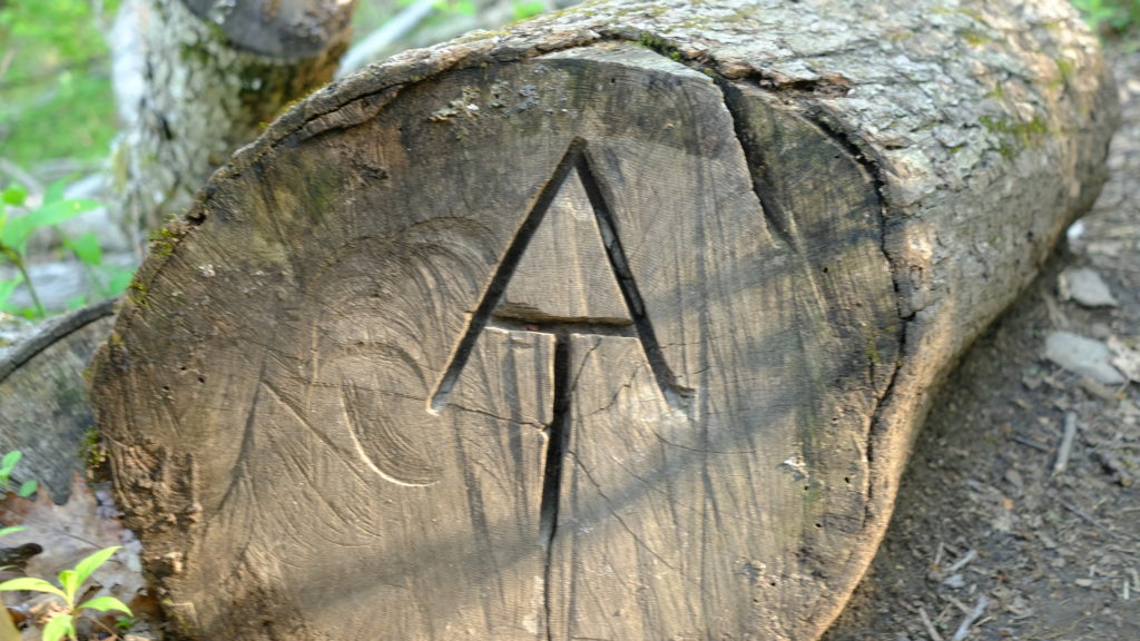
We were forced to do some night hiking and the trail out of NOC was straight uphill. After a miserable mile in the dark and re-soaking our clothes in sweat, we found a flat spot off the trail. It was 9:30pm by time we finally had our camp setup.
5/11 – Day 11
18.1 miles from NOC to Cody Gap
The uphill continued pretty much all day. We stomped our way up eight miles out of NOC and over 3,500′ of elevation gain. It was the most difficult section of hiking we had come across and things were only just getting started. We summited Cheoah Bald, sitting at 5,052′, by 11:00am. It was too early for lunch but we sat down at a gorgeous campsite with a sweet view on top of the bald.
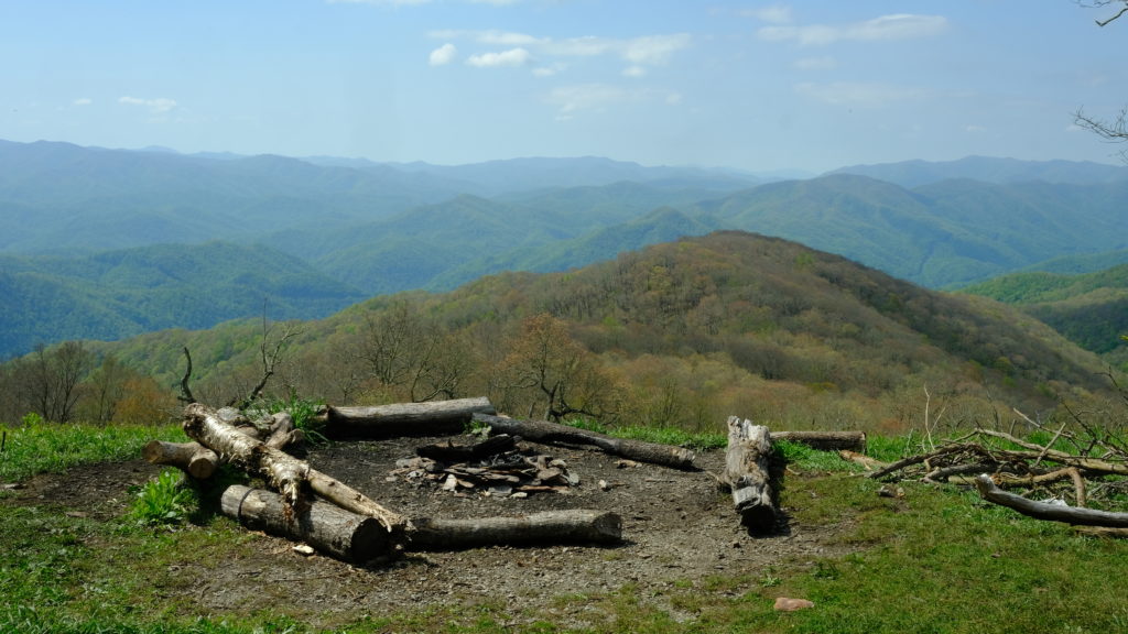
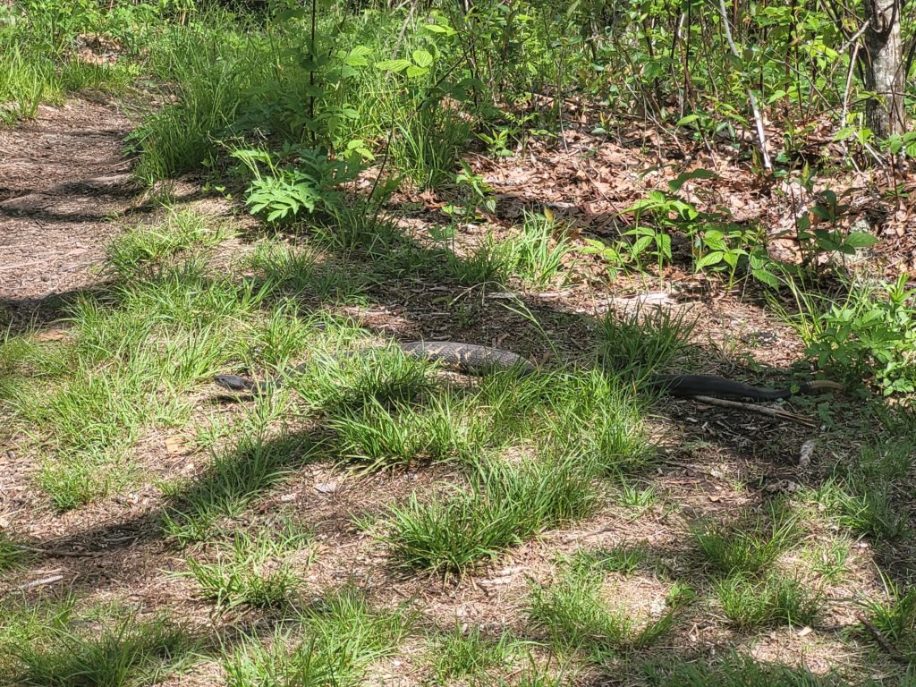
Out of the corner of my eye, I saw a small black head emerge from the grass. “Is that a frog?” I asked Amy and Webs, who was hiking with us today. “That’s a snake!” A large rattlesnake, maybe three feet in length, slithered towards us and began rattling off a warning. Naturally, we grabbed our packs and fled.
Another massive descent followed as we worked back down the bald. At Stecoah Gap, we met a man handing out apples with a large group of thru-hikers hanging out. We pushed forward to Brown Fork Gap shelter, our planned stopping point, but decided to stretch ahead to Cody Gap campsite to shorten our day’s hike tomorrow into Fontana Dam.
I hauled two cans of beer from NOC over nineteen miles. Finally able to enjoy the fruits of my labor, we plopped down in Cody Gap and shared a “warm one” with Stryder. We had another beautiful evening and left our vestibules rolled up as the cool mountain breeze funneled through our tent as we slept.
5/12 – Day 12
9.7 miles from Cody Gap to Fontana Hilton
I woke up with my sleeping pad mostly deflated. It was leaking air somewhere… I also realized I lost my headphones the previous day. Double whammy.
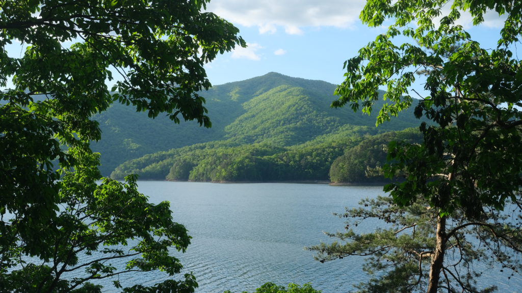
Fortunately, we had a short day planned with much easier terrain into the gateway of the Great Smokey Mountains: Fontana Dam. We breezed through the eight miles to the marina, arriving at 11:00am.
We shuttled into the town at Fontana Dam, where we made a shabby resupply with the intent to last us five days to Davenport Gap. Then, we went to grab lunch at Wildwood Grill. We made acquaintance with another group of hikers: Ghost, Fisherman, Botanist, and a few others. Amy ordered a brisket reuben, and I ordered a dragon burger, both were delicious.
We shuttled back to the marina and hung out with nearly a dozen thru-hikers. The marina, and all of Fontana Dam, was so hiker friendly! We took a dip in the lake and drank some beer on the porch. I was able to find the leak in my sleeping pad by inflating and submerging it in the lake, finding where the bubbles escaped, and using a patch kit to seal it. Good as new!
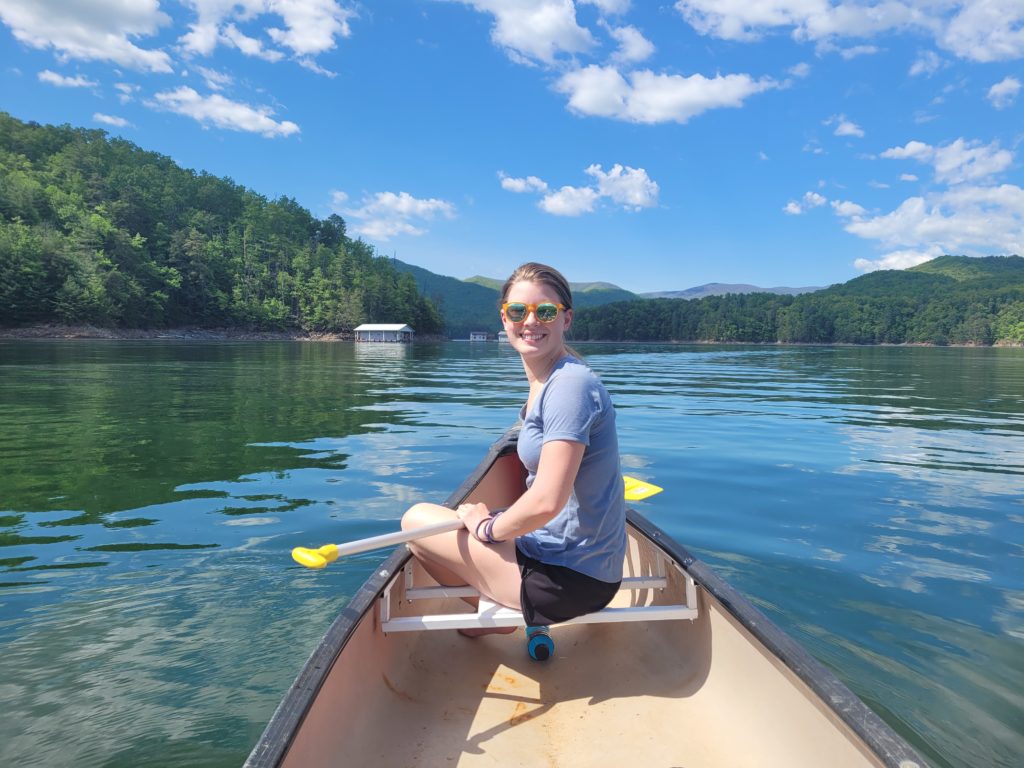
The marina workers let us take out a canoe for free since we resupplied in town. Amy and I paddled out of the bay and took in the beautiful mountains. Once we got back, a family gave our group three fresh trout they caught in the lake, filleted and ready to throw on the grill. Grill-master Stryder took care of the cooking. It was some of our tastiest trail magic yet!

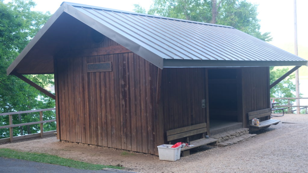
We only had to hike one more mile to the world-famous, Fontana Hilton. It is one of the largest shelters on the trail, with four separate sleeping platforms and a large middle walkway that can hold 24 people. There’s even a restroom, shower, trash cans, and a charging station nearby. It overlooks Fontana Lake, a great place to end another day in hiker paradise.
5/13 ‐ Day 13
18 miles from Fontana Hilton to Spence Field
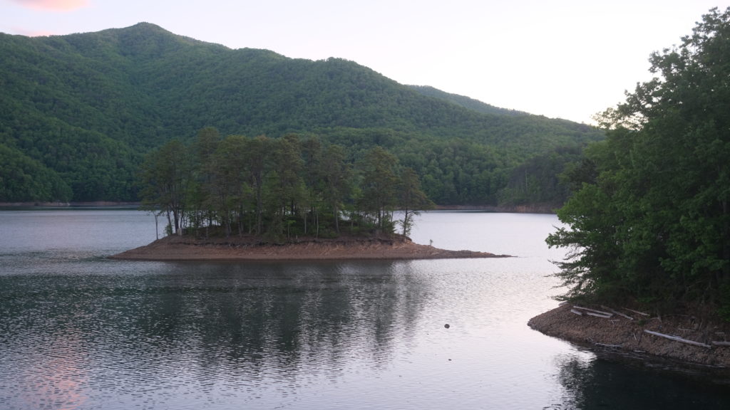
Amy woke me at 6:00am asking if I wanted to go for a sunrise stroll into Great Smokey Mountains National Park. Of course I did. The calm water of Fontana Lake glistened under the multicolored sky. The trail crosses directly over the dam, which is in fact the largest dam east of the Mississippi.
The trail followed a dirt path running parallel to a road into the park. Not five minutes after we passed the entrance sign, I spotted a small black bear on the hillside to our left. It was about 40 yards away and started scrambling up the hill as soon as we started making noise. It was immediately clear we were entering bear country.
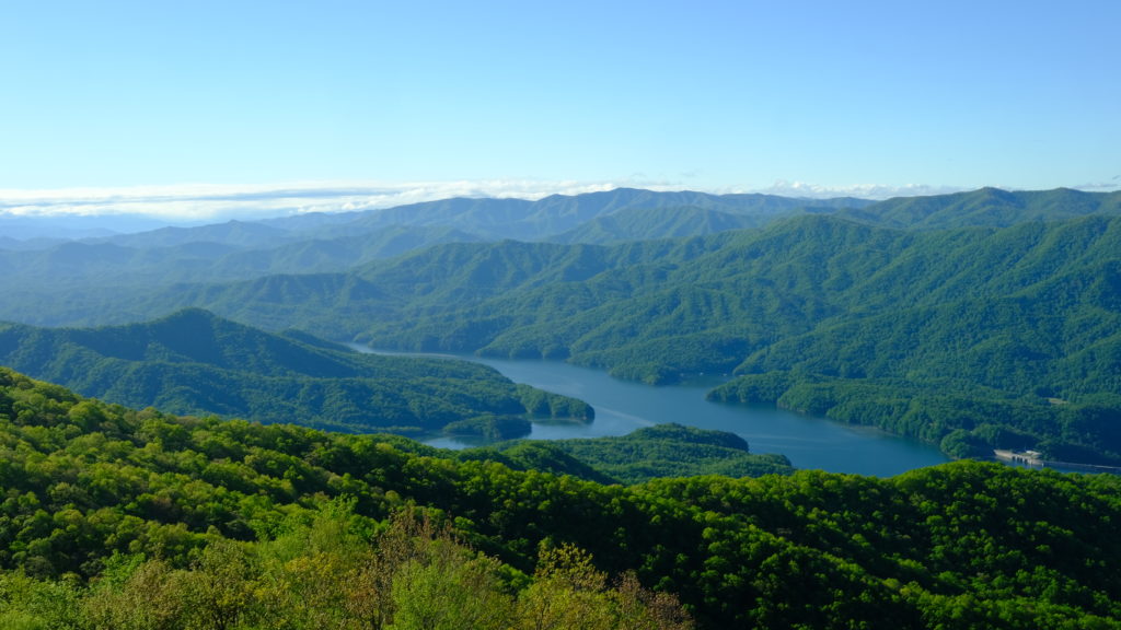
We registered at the thru-hiker box and began a steep hike up Shuckstack. After five miles and over 2,500′ of ascent, we climbed the steps of the fire tower to meet an outstanding view of the Smokies, with Fontana Lake looking no bigger than a pond nestled among the hills. At the top of tower, Amy joked, “what if there was just a bear waiting at the bottom for us?”
Ten minutes after climbing down, we were walking along a narrow stretch of trail on the side of a particularly steep hillside that fell to our left. We were walking around a bend when Amy stopped and pointed to the brush just ahead on the right. Sure enough, a massive black bear was visible through the trees, eating something on the ground.
We followed the standard procedure: yelling, smacking our poles together, backing up slowly. The bear didn’t budge. We eventually backed up far enough around the bend that it was out of sight. We continued yelling like idiots for a few more minutes before we mustered up enough courage to try hiking past again. As we rounded the corner, I didn’t see the bear in its original spot. We scanned the area as we tip-toed down the path. Suddenly, Amy pointed directly to the right and said, “Is that it?” The bear had moved closer. Now only about ten yards away, it was staring right at us!
The image of sunlight beaming through the trees, highlighting its furry head as it observed us curiously is engrained in my mind. Unfortunately, snapping a picture was the last thing I was thinking about. We swung our trekking poles overhead, redoubled our noisy efforts, and backtracked cautiously to our safe spot around the bend. At that point, I’m sure Amy would have been happy hiking all the way back to Springer…
But no! Nothing stands in our way to Katahdin except for over 2,000 miles. We charged in after the beast and drove it away. I’m kidding. We hid for another ten minutes and when we checked again the bear was gone so we scurried past.
Our adrenaline deprived bodies struggled along for a few more miles on the ridge towards Doe Knob. Then, we descended a bit through some lovely scenery over Devil’s Tater Patch and rolled into Russell Field shelter. The latest story was that a bear was harassing that shelter, stealing a food bag a passing hiker had left as he went to go filter water.
It started to rain and we juggled with the idea of hiking three more miles to the next shelter. We decided to go for it and fortunately the rain held to a moderate soaking. After settling down at Spence Field shelter, a bunch of hikers started flooding in saying a Ridge Runner closed Russell Field shelter because a bear kept trying to steal food despite dozens of people standing around! After all that, we didn’t even have the best story…
5/14 – Day 14
19.4 miles from Spence Field to Mt. Collins
We continued our trek through the magnificent Smokey Mountains. It began with a respectable ascent to Rocky Top, offering great views of the mountains with patches of fog floating above the valleys. Absolutely incredible. Then, we traversed down a particularly steep slope of loose rocks.
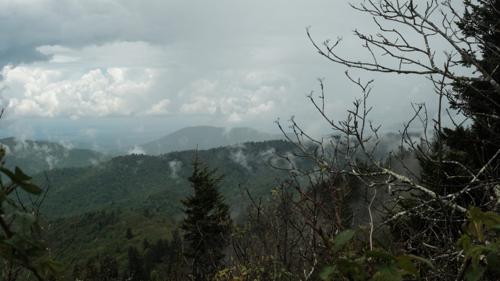
Amy, focused on her footing, hit her head on a log hanging above the trail. It shook her up a great bit, but she toughed it out and wanted to keep hiking. What a trooper!
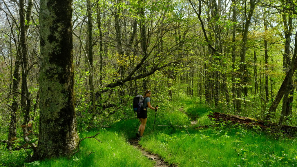
We climbed up and down and up and down along the gaps with some nice scenery to accompany the exhausting terrain. We hiked nearly twelve miles before taking lunch at Siler’s Bald shelter when it started to rain again. Fortunately, it was short lived and the skies were starting open up as we began the ascent to Clingman’s Dome. The foliage made a rather sudden transition in favor of the evergreen. Much of the mountainside was covered in towering Fraser firs and their mossy, felled brethren.
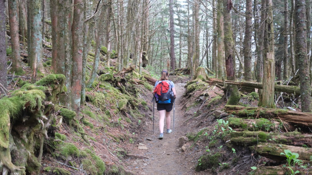
Clingman’s Dome is the highest point on the entire Appalachian Trail and also one of the highest peaks in the east. Oddly enough, there were close to a dozen previous climbs we considered much more difficult. The route was quite scenic and we crawled in and out of dramtic views. The observation deck at the top was packed with day hikers who looked at us like we were zoo animals escaped from their cage.
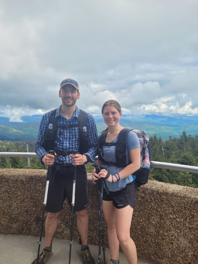
In any case, it was a nice panorama. More importantly, Clingman’s Dome marked mile 200 of the trail! We were now under 2,000 miles remaining.
We were exhausted at this point. In total we climbed over 6,000′ in elevation gain in a single day of hiking. The descent from the dome was treacherous and seemed to drag on forever. We eventually found our way to the bottom, climbed up and down Mt. Collins (yeah, another mountain), and proceeded to find the shelter off a half mile spur trail a few minutes before the rain turned into a downpour. We met a group of section hikers at the shelter. One of them gave each of us a Bojangle’s breakfast sandwich- the highlight of the day for sure.
5/15 – Day 15
4.9 miles from Mt. Collins to Newfound Gap
We resupplied a little too lightly at Fontana Dam and our original plan to push through the Smokies to Standing Bear Farm seemed a bit of a stretch combined with the difficult days of hiking. Suddenly, I felt the urge to visit redneck Las Vegas and get drunk on banana pudding moonshine. We decided to call it a “nero”, hike to Newfound Gap, then hitchhike to Gatlinburg, TN.
The miles out of Mt. Collins shelter were cake. The route was gracious downhill padded with pine needles. We knocked out nearly five miles in just over an hour and a half and stumpled into a large parking lot. Newfound Gap is directly off the parkway leading from the city into the national park. It has a lovely backdrop and tons of traffic flowing in and out. I made Amy, the least threatening girl on the planet, do the dirty work of finding a ride. In only a couple of minutes, a truck pulled over and we found ourselves en route to the GSMNP visitor center, a mile or two from Gatlinburg.
We briefly toured the visitor center then managed to get another quick ride to the city. Entering Gatlinburg was, as Webs later put it, “like stepping into a fever dream”. The contrast of two straight weeks of serene mountain wilderness to obnoxious flashing 7D mirror maze cowboy cinemas was every bit as jarring as you would expect. Our first stop was a general store and then a Walgreens to resupply. We literally witnessed some shoppers turn away in disgust as Amy and I walked by. It was time for a shower, so we made our way to the nearest hotel and booked a cheap room.
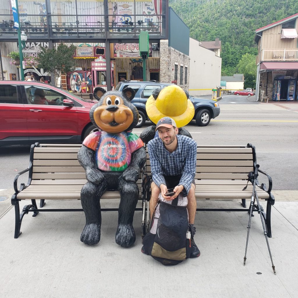
I’m fairly certain the Microtel of Gatlinburg is going to need to throw away every washcloth, towel, and bedsheet that Amy or I layed our hands on. There was no laundry on site and the laundromat was farther than we wanted to walk, so we washed our disgusting hiking clothes in the bathroom sink. I literally wrung out one of my socks thirty times and brown water was still coming out. Good enough. We let them air-dry for a while, then it was time to get our shine on.

We got foot-long corn dogs at a weird arcade place then went to Smoky Mountain Brewery for a drink. Walking down the street, we ran into Business Casual, a retired LASHer we met two nights prior, and toured the rest of the silly town together. I will admit, it is a fun place to spend an evening. After hearing a few too many variations of the same joke at the moonshine tastings, we went back to Business Causal’s hotel that had a nice patio with a fire pit and hottub, and spent the evening conversing as the Moon was eclipsed by the shadow of the Earth.
5/16 – Day 16
15.7 miles from Newfound Gap to Tri-Corner Knob
We eagerly made our way to the hotel lobby for the free breakfast. There was a sign labeled “Bakery” with pictures of fresh-baked bagels and delicious looking home-goods, underneath was a basket full of Little Debbie oatmeal creme pies. The remaining offerings were equally disappointing, but we filled our stomachs anyway. Afterwards, we walked down the strip to hitch back to Newfound Gap. A Brazilian couple picked us up a few minutes later and told us about their home in São Paulo during the ride.
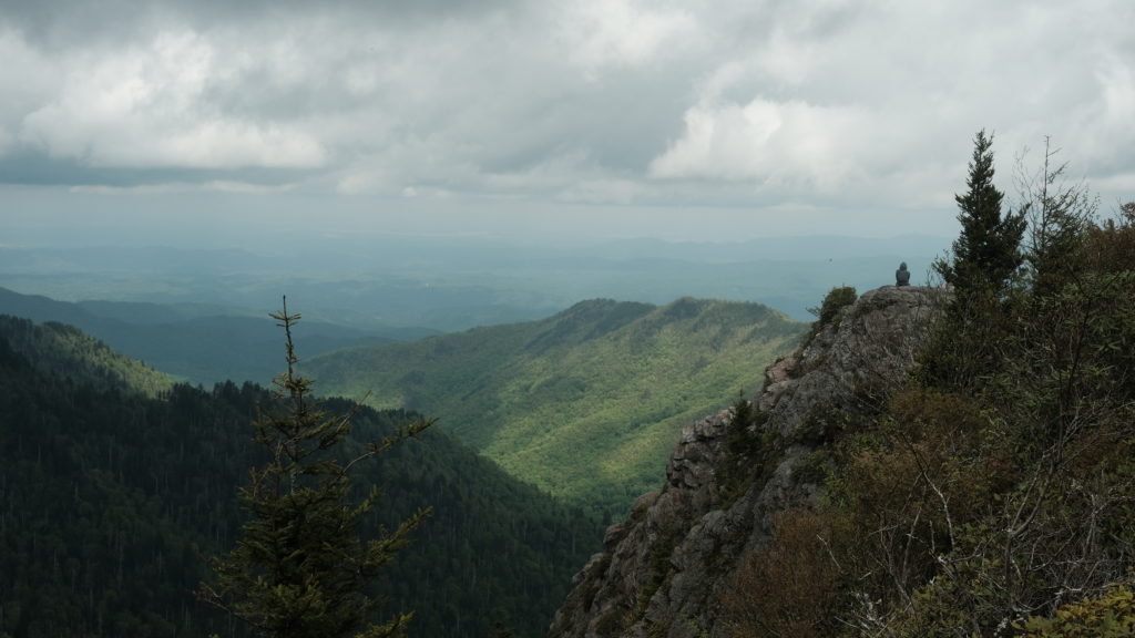
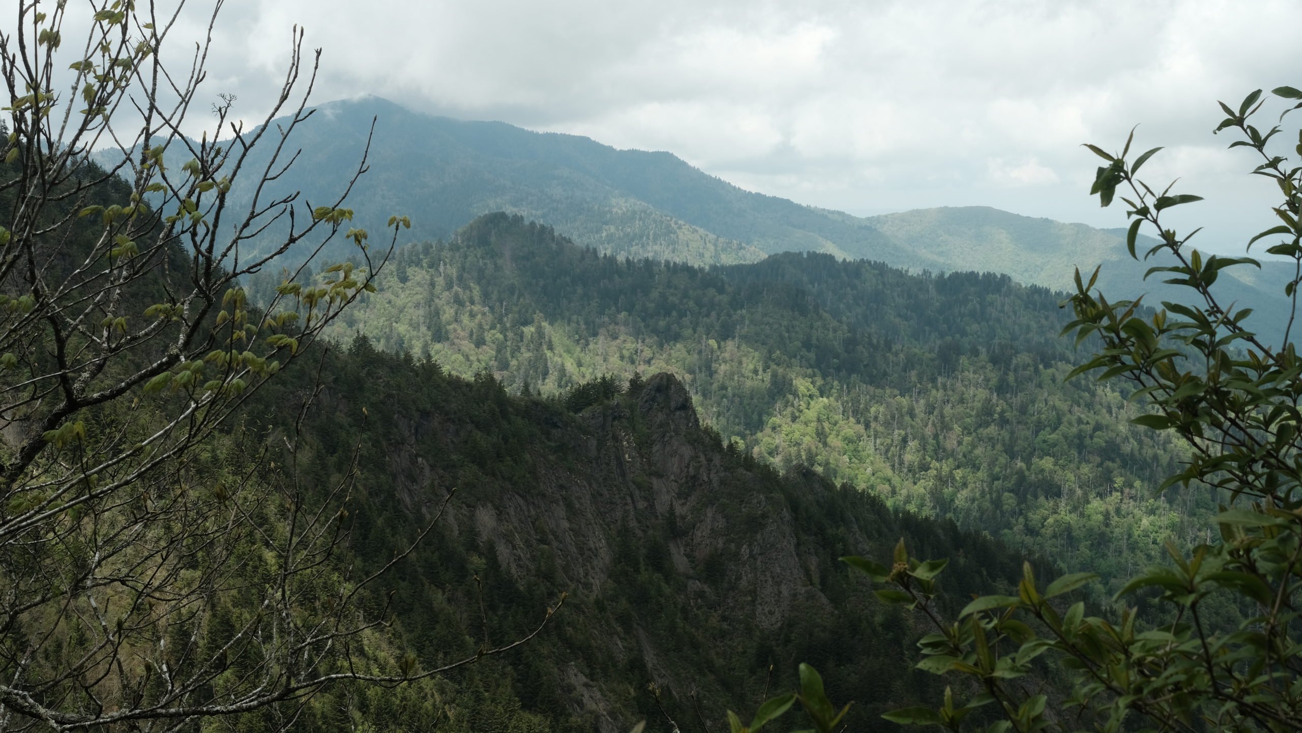
We hit the trail around 11:00am and climbed out of Newfound Gap. Immediately, I knew we were in for a treat. The trail followed a gradually rising ridgeline with expansive views in either direction. It was overcast and fog was bellowing in from the west. We reached Charlies Bunion via a short spur trail climbing over massive, jagged rocks. The view from the outcropping was absolutely spectacular.
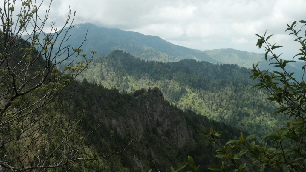
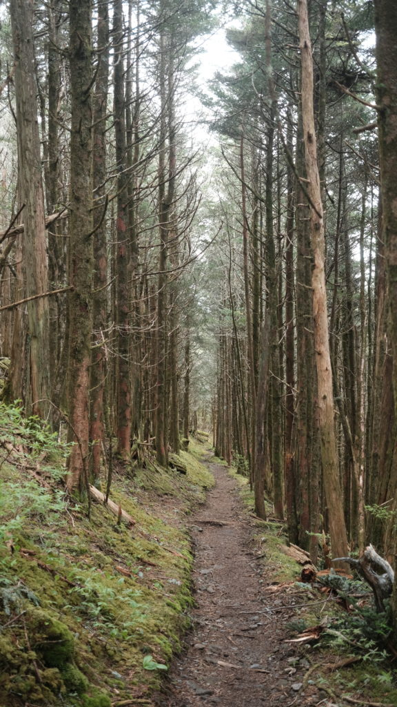
The magic of the Smokies continued as we summited Laurel Top around lunch time. It felt like we were walking through a cloud as mist blew across the trail in front of us and teased glimpses of far away peaks in the openings. The terrain was still persistently hilly but more gradual than the previous days and made for some truly awesome hiking. It was easily the most scenic section of the trail thus far.
Despite our late start, we reached Tri-Corner Knob at 5:15pm. Following the trend, more new faces awaited us at the shelter. A guy named Buttercup built a fire and we huddled under our quilts. Temperatures dropped to 45 degrees that night, the coldest we had experienced.
5/17 – Day 17
23.4 miles from Tri-Corner Knob to Snowbird Peak
Leaving Tri-Corner Knob shelter, we broke the sound barrier and put away eight miles by 9:45am, averaging somewhere around 3.5mph. We met a guy named Morpheus on the trail and started hiking with him. Today was our last day in the national park.
We took a short break at the next shelter, then continued hiking, hoping to reach Standing Bear Farm as soon as possible. We had seen Happer’s name in the past few shelter logs and were hoping to catch up to him, since he had passed us during our Gatlinburg fiasco.
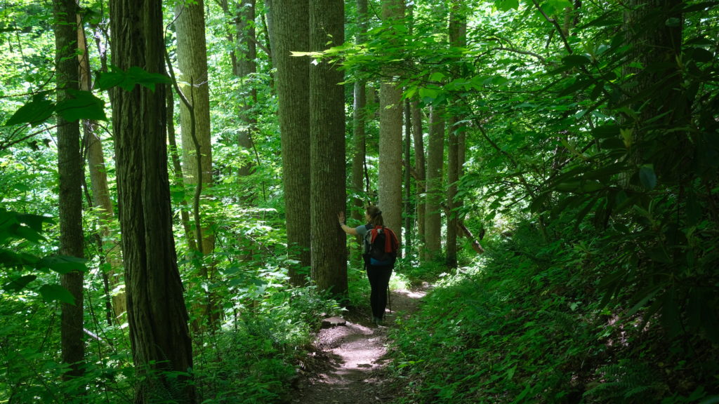
The trail began its initial descent out of the Smokies. For reference, we were going from 6000′ peaks to just over 1000′ at Standing Bear. After another lightning quick seven miles, we reached Davenport Gap Shelter and saw Happer on the way out of his lunch spot. We caught up, then discussed our plans to make it to Hot Springs by Thursday afternoon. Davenport Gap shelter is unique because it is the only remaining shelter in the Smokies that is still caged in- the others have transitioned to more modern bear cables.
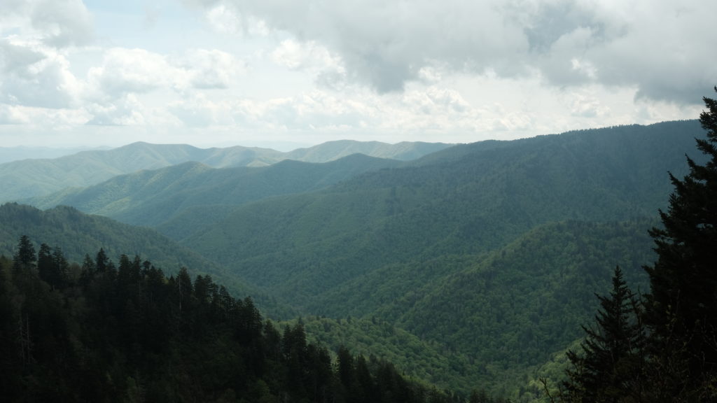
Amy and I continued hiking with Morpheus down the increasingly steep descent. Before we knew it, we passed the exit of the Smokies and that chapter of our thru-hike was over. It has been one of my favorite sections of trail I’ve had the pleasure of hiking. The one thing I did miss, however, was water, which was surprisingly scarce in the park. Once we neared the bottom, water abounded in creeks and springs spouting alongside the trail. It was getting hot, so we decided to soak our feet in a particularly deep pool in the creek.
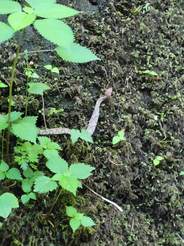
Amy, Morpheus, and I climbed down a sketchy hillside of roots and loose dirt towards a waterfall. I decided to go a bit further down and lowered myself on the side of a flat rock into another pool. My eyes caught a tiny snake laying still on the rock face and I immediately recognized the pattern from the museum in the Great Smokey Mountains visitor center: copperhead. Copperheads are venomous and I nearly sat on one. Luckily, the snake was still as a statue and made no indication that it was going to bite. I still freaked out and hopped over some slick rocks back to safety.
We left the pool feeling refreshed and had a good story to share. We made it to Standing Bear hostel not long afterwards. We hung out for an hour or so, then decided we wanted to push even further to knock out the ascent of Snowbird Peak. Happer joined us and we foolishly subjected our hearts to another five miles of straight uphill climbing. Towards the top, I spotted another black bear walking on the trail ahead of us before he turned to look and dipped into the brush.
We camped at a nice spot on top of the mountain and made a fire since the smoke helps keep bears away. Another long day on the trail, but the sense of accomplishment sitting around the flames is an unrivaled feeling.
What’s Next?
We are working our way out of North Carolina/Tennessee. The trail follows the border for a few hundred miles. Even though we have left GSMNP, the scenery is as beautiful as ever. Max Patch, Hot Springs, and the remainder of North Carolina are in our crosshairs. Looking forward to Virginia in only a few more weeks!
Etc.
If you’ve read this far, thank you. Writing every night has been a fun exercise in creativity and a good way to wind down. Updating the website in town seems to be the only feasible option, however. The biggest hurdle is uploading images, which requires a strong wifi connection. Hoping to continue the trend of posting every week or so.
Our bodies are holding up okay, although pain comes and goes. When I wake up and take the first steps out of our tent, my feet feel like they are heavily bruised. Sometimes, my knees feel like they need replaced with metal plates. Other times my calves or quads are very tight. Yet amazingly, as soon as the hiking starts, the pain vanishes. We believe listening to our bodies and not pushing too hard will bring us success.
The trail is much more difficult than I ever could have anticipated, if I am being honest. But we are ahead of schedule and we both feel confident in our position to finish. We think early to mid-September is a realistic goal.
We’ve been missing all of our friends and family greatly. Looking forward to reconnecting soon.
Happy Trails,
Alex & Amy

I just wanted to let you know that I am enjoying your posts. Keep up the good work.
Love all your posts! Always thinking of you Amy mom