7/18 – Day 79
18.6 miles from Hertline Campsite to Port Clinton
We were rocked by a heavy thunderstorm through the night and woke up to significant water pooling in the tent floor. The Ziploc freezer bag I use for my electronics was compromised and most of everything Spout or I owned was at least partially wet. The damage control process ate up a lot of time and it was nearly 10:00am by time we rolled up our sopping tent and started hiking.
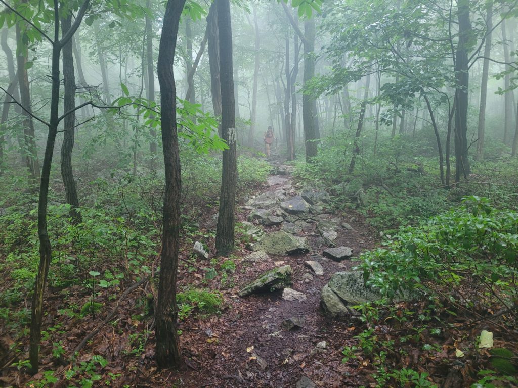
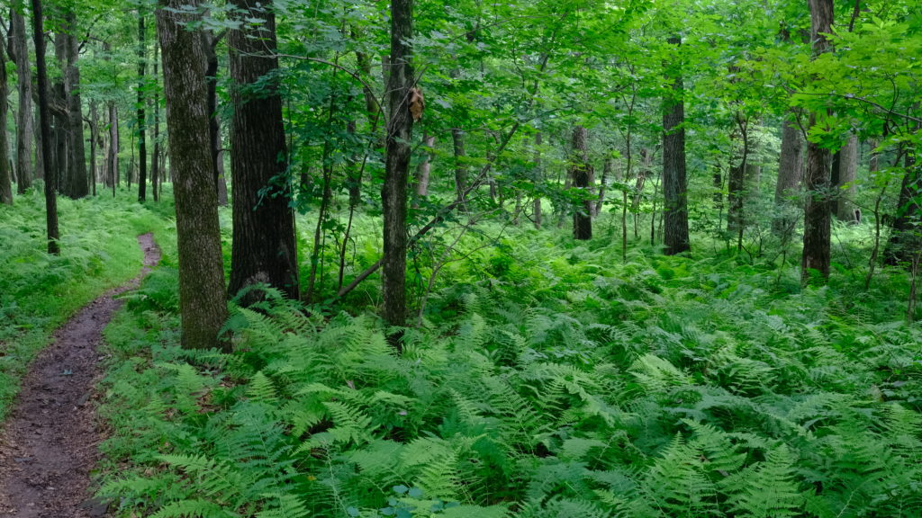
The sun did not grace us with its presence all morning. Still, we walked through the misty forest with high spirits, hoping to reach Port Clinton in eighteen miles for town food, resupply, and a place to dry off. There were several points along the trail where we felt completely isolated in the endless fern sea. The clatter of artillery fire was heard in the distance, perhaps from some nearby training grounds. For all we knew, the first battle of WWIII could have been taking place at the strategic location of Reading, PA. Through it all, Spout and I discussed some plans for our wedding to pass the time.
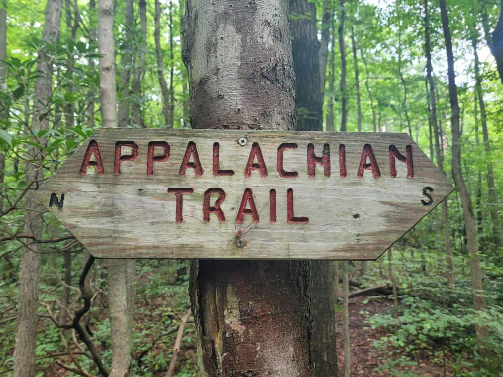
We cruised through most of the day’s mileage in spite of the pain in our legs which has returned with vengeance. With about one mile to go, we began a descent from the ridge that soon grew extremely steep. Per mile, it was likely the highest grade of the trail so far, and it just happened to cover wet gravel. We took our time getting down and made it safely to Route 61 by 7:00pm.
The first thing we did was hitch to a Wawa for our bi-weekly mukbang of fast food and milkshakes. We have been eager to compare Wawa and Sheetz for some time now. In my opinion, Wawa had much better hoagies but their menu was not nearly as extensive and the ordering process was a bit convoluted. The millshakes at either joint are A+. But let’s be honest, never trust a thru-hiker’s opinion on good food.
We left the gas station to walk to the Walmart next door when another rain storm slammed us mid-way. In a few minutes, our last remaining dry socks fell victim to the wet and we made a very unhappy resupply in Wally World. When it was finally time to leave, we met up with Happer and Season Pass who were wandering around in the store. Spout managed to hitch-hike in the dark, stop the first car (again), and score a ride for four putrid hikers to a church ran shelter in Port Clinton that we called home for the night.
7/19 – Day 80
14.5 miles from Port Clinton to Eckville Shelter
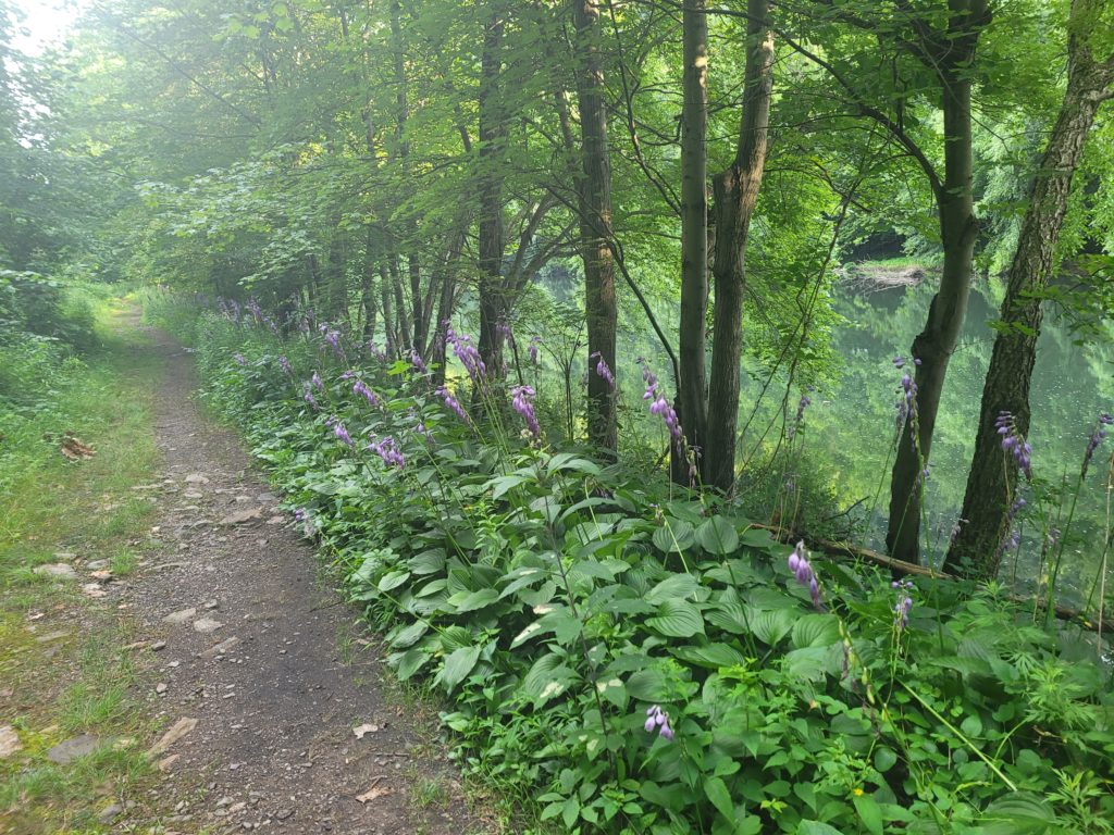
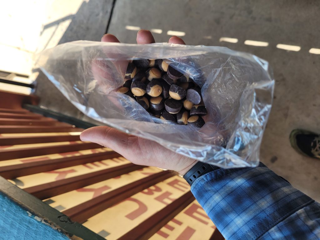
We let the sun heat up the campgrounds in the morning to facilitate the drying of our wet gear. In no hurry at all, we stopped at the Port Clinton Peanut Shop, which offered a fabulous variety of candy and nuts and picked up some treats for the day. At 11:00 (yes, this is apparently when we start hiking nowadays) we re-hiked a half mile of trail alongside the Schuylkill River. We’ve heard numerous locals mention the upcoming heat wave, and it was no doubt that today was going to be a scorcher.
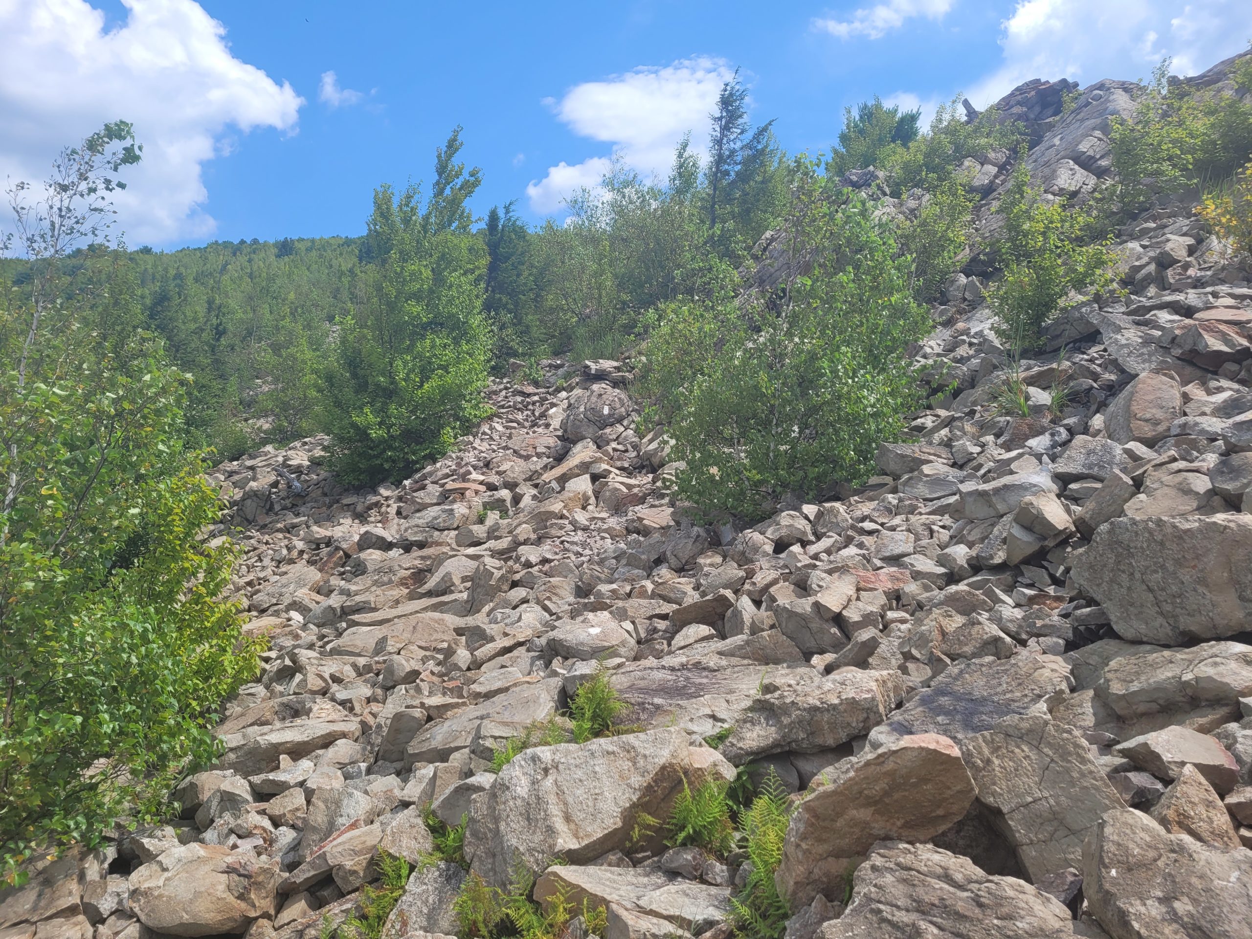
We climbed up and over a short ridge, losing significantly more water than could be found on trail. We’ve regularly been carrying water for stretches of eight miles or longer, which is not typical on the AT. We hiked with Season Pass and Happer for the second half of the day. It began with another steep 500′ climb and the trail soon broke into a million pillow-sized rocks. Let me be clear, the rocks do not feel like pillows, they’re just roughly that size. They feel exactly like normal rocks, maybe even sharper.
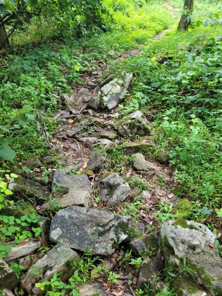
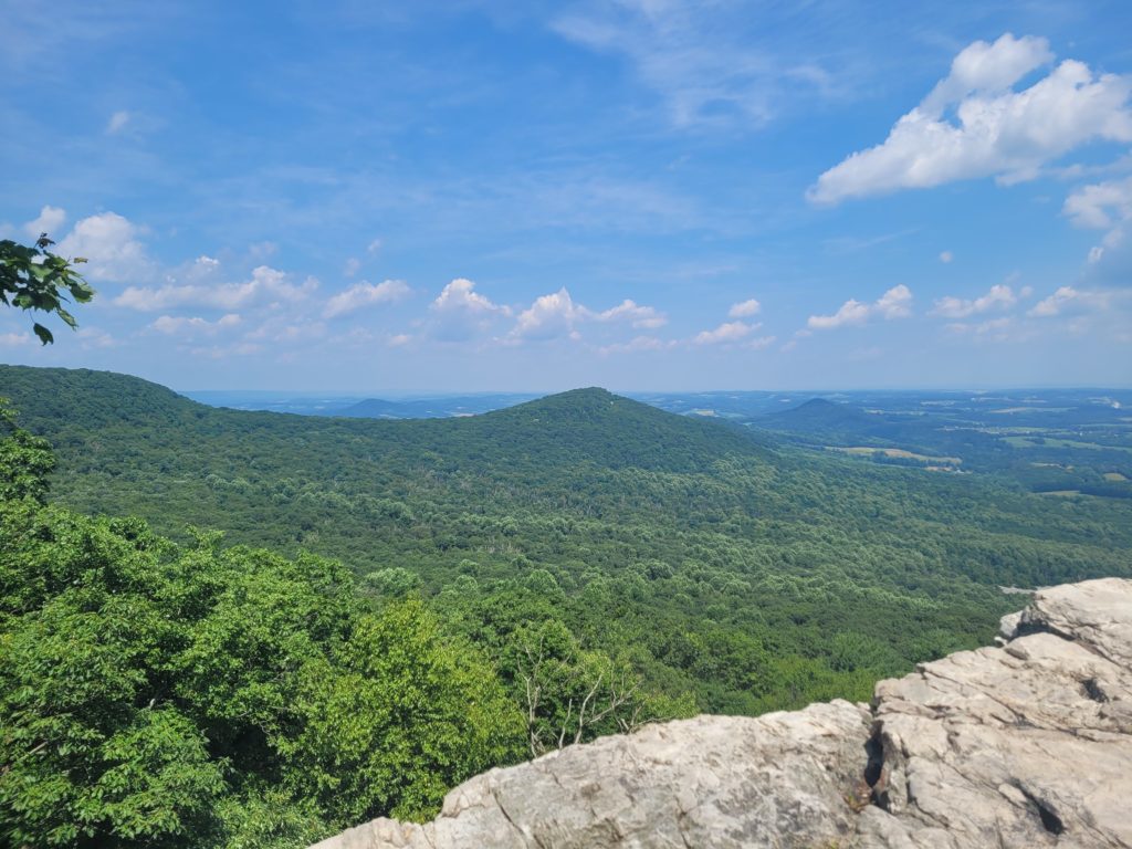
The strategy seems to be to stay on top of the rocks rather than to navigate between them. While on top, you don’t need to worry about picking up your feet as high, reducing the chance of tripping, but potentially increasing the chance of a more serious fall if the tread of your shoe gives out. We took a short break at Pulpit Rock, overlooking a humble ridge between the farmland where the trail followed north. A man named Avatar met us there and shared trail magic of Mountain Dew and bananas. We continued through another easily manageable boulder field and reached a sweet panorama at the Pinnacle. It offered expansive views of the state, supposedly reaching as far east as the Delaware River and New Jersey. We sat and took lunch while a copperhead slithered past us to find refuge underneath a large, flat rock.
Leaving the Pinnacle, we followed a smooth, wide game trail for several miles to the next road crossing leading into Eckville, PA. We walked down the road and met a huge group of hikers taking advantage of the amenities at the Eckville Shelter, such as a shower and charging stations. Grace, Tarzan, Star, Pearwood, and McConaughey were all gathered at a picnic table next to the caretaker’s house. Grace, who is only eighteen years old, told us her fascinating life story of leaving her fundamentalist Mormon family in Utah to hike the Appalachian Trail alone.
7/20 – Day 81
19.8 miles from Eckville Shelter to Asheville Rd
It was already hot at 7:00am when my watch alarm went off, so I figured it was going to be hot all day and there was no rush to leave early. We chatted with some section hikers at the shelter while eating breakfast and started moving a short while later. Climbing out of Eckville brought us to Dan’s Pulpit, with some fine views of the farmland below. The terrain was a mixture of staggered rocks followed by amazingly level, smooth, and wide trail. It was as if the easy miles were routed to offset the frustration from rock-hopping.
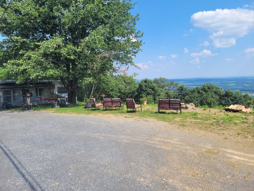
Rather than take a third mile spur trail to get water at the Allentown Hiking Club Shelter, we opted to push forward to Route 309 to a nearby hostel to fill up. We bagged eleven miles to reach the Lookout Hostel before 2:00pm. When we went to the door, a hiker named Grit Daddy let us in and showed us around. Turns out, the owners weren’t home but let hikers come in anyway. They even left free eggs in the fridge and had a variety of cold drinks and resupply options. It felt like we just walked into somebody’s home and stole their food.
We hung out at the hostel with a small group of hikers for nearly two hours before getting back on the trail. We hauled an extra three liters of water with us due to an upcoming thirteen mile dry stretch. Only a mile later, we came across the Knife’s Edge, a collection of jagged boulders awkwardly slanted atop a narrow ridge. We scrambled over the boulders in astonishment of the ruggedness and how unique the section felt, complete with epic views to the northeast. We certainly gained an even greater respect for the older folks attempting this trail. One wrong foot placement meant an ankle sprain or worse.
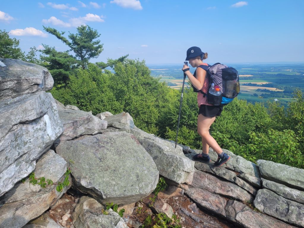
The relentless rocks continued for most of the day, past Bear Rocks and the downclimb of Bake Oven Knob, the latter of which was riddled with unbalanced stones that shifted precariously when you stepped on their edge. The terrain slowed us down considerably, so we ended up stopping well short of the next shelter at a campsite past Asheville Rd.
7/21 – Day 82
18.7 miles from Asheville Rd to Smith Gap
We were rationing the remainder of the water we had carried from the hostel, debating whether or not to make a 1.2 mile round trip detour to a spring near our campsite, when Tarzan walked past and alerted us that someone just refilled a water cache by the road. The trail provides.
It was clear the terrain of northern PA was only going to get more difficult once we set off. The trail followed another ridge that began with rolling mounds of tall grass overlooking the valley below. This continued for two miles before the treeline gradually faded away and left us exposed on an incredible, open stretch leading towards Lehigh Gap. Typically, we would have been thrilled to have such awesome views for consecutive miles, but the punishing heat made us regret leaving the protection of the canopy.
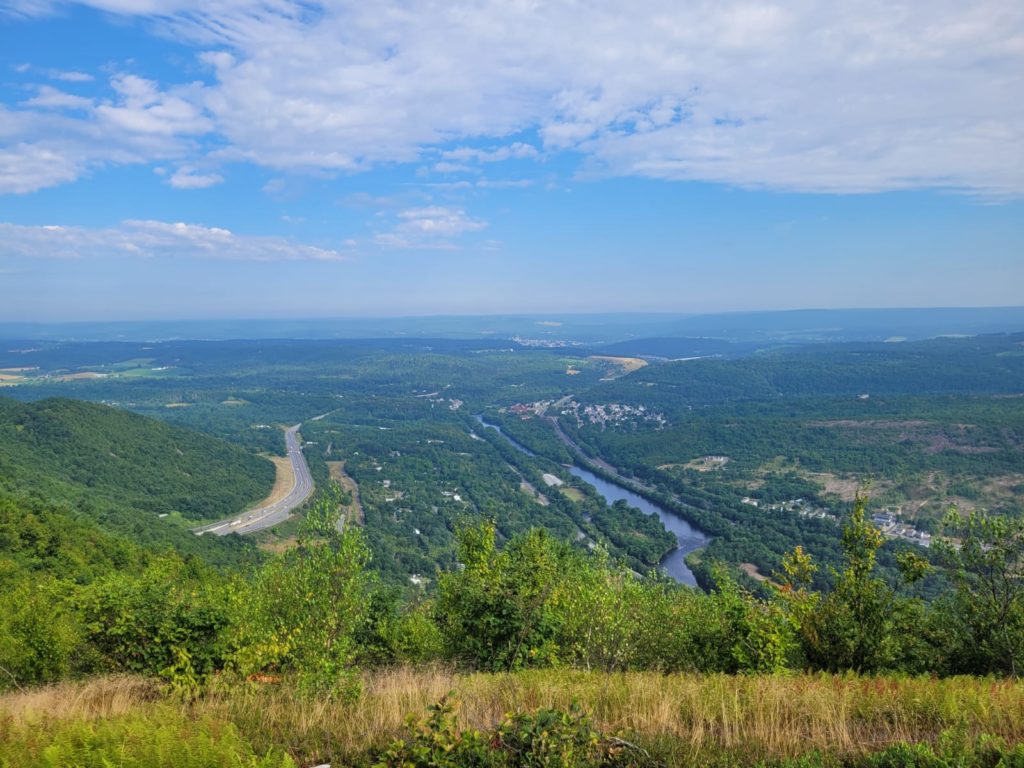
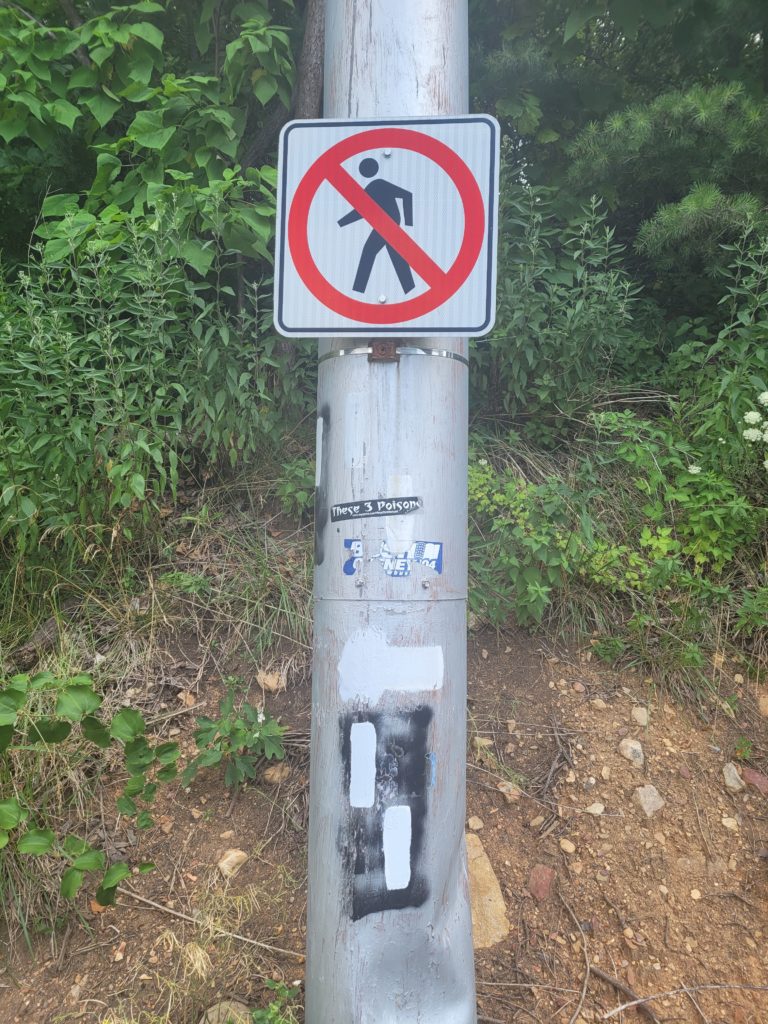
We filled up water at George W. Outerbridge shelter, the last on-trail water source for over twenty miles! After cameling up as much as we could, we descended to the road that leads to Palmerton, PA. There was a “No Pedestrian” sign right smack-dab in the middle of were the trail crossed the road. Of course, there was no crosswalk either.
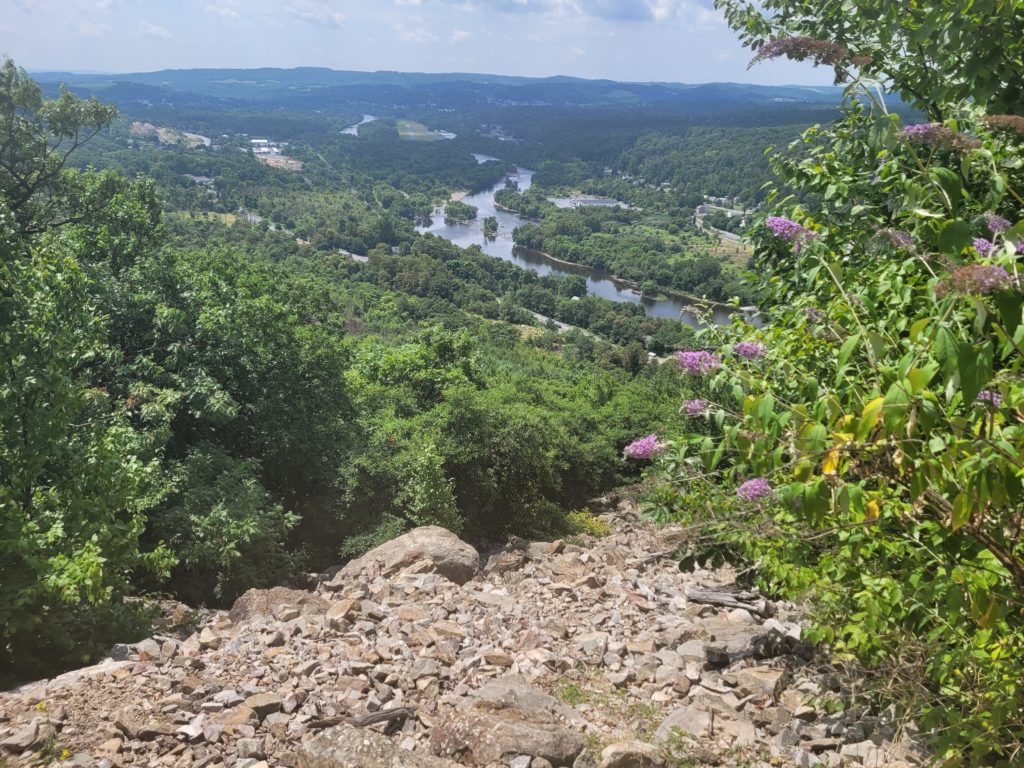
The following hill was by far the sketchiest (yet most enjoyable) scramble we have done. With blistering heat reflecting off the rocks, we often found ourselves throwing our trekking poles over massive boulders, hauling ourselves up the rocks on all fours, then letting the sweat drip off our brows before the next step. We climbed higher and higher above Palmerton, with the Lehigh River in view along with several exposed quarries on the distant ridges.
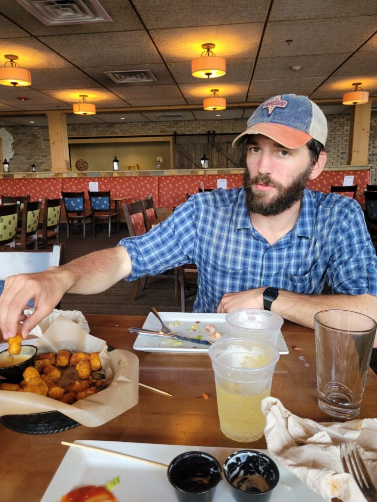
We made a pit stop at the Blue Mountain Ski Resort, about a half mile off trail, to fill up water and enjoy some drinks and crabby tots. At around 5:00pm we left and attempted to push another ten miles to the next shelter. We were thrilled to find that tiny, ankle breaking rocks wedged firmly in the dirt seemed to have become a permanent fixture of the Appalachian Trail. The motion of raising up your feet higher (as in a march) and attempting to select the right spot to land without stabbing your foot on a stone drained us of our energy sooner than we anticipated. We found a stealth site among a clearing in the ferns to call home for the night. An eighteen mile day in northern Pennsylvania was more difficult than a twenty-two in Virginia.
7/22 – Day 83
16.3 miles from Smith Gap to East Stroudsburg
We woke up to the sun shining gently through our tent, the birds chirping merrily, and a cool breeze funneling through the trees into our campsite. In stark contrast, the trail was a miserable wasteland of rocks that tormented our ankles for the next fifteen miles. The horror stories of Rocksylvania were finally coming to fruition over the past few days, this is where boots go to die.
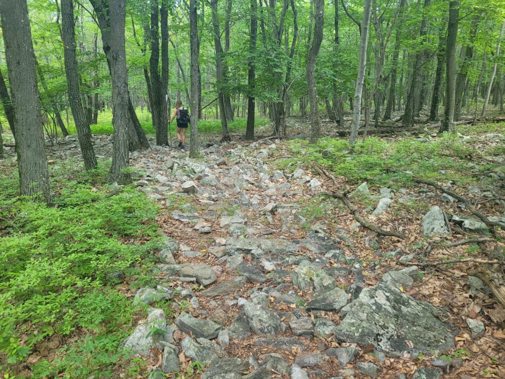
Listening to music was the only antidote to the pain, as we found it hard to maintain conversation with so much attention devoted to careful foot placement. The rocky terrain persisted through Wind Gap, where we got a bit of trail magic from a fellow hiker, Tempting, whose family was giving out snacks and water. From there, we were planning to head eight more miles to PA 191 where we were meeting my parents before we said goodbye to Pennsylvania.
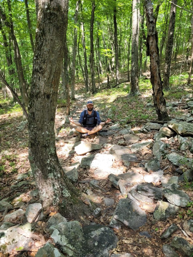
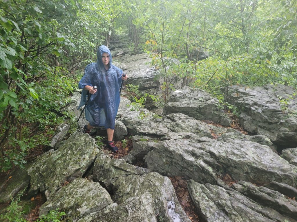
To our dismay, the difficult trail worsened as we continued north. We were coming up on the crux of the day’s hike at Wolf Rocks, when we heard booming thunder from the west. I told Spout we should make haste and hopefully pass the rocks before rain caught us. Ten minutes later, right on cue, it started pouring just before we made it to Wolf Rocks. The next few hundred yards turned into the world’s most dangerous slip and slide.
Hot, wet, tired, hungry, with feet that felt like pulverized meat, seeing my parents pull into the parking lot at PA 191 felt like a rescue mission. After giving them stinky hugs, we went to a Wawa for emergency meal time, then spent the rest of the evening relaxing in a cozy AirBnB at the base of Shawnee Mountain Ski Resort in East Stroudsburg. Spout watched Top Gun for the first time and learned who Tom Cruise is.
7/23 – Day 84
0 miles
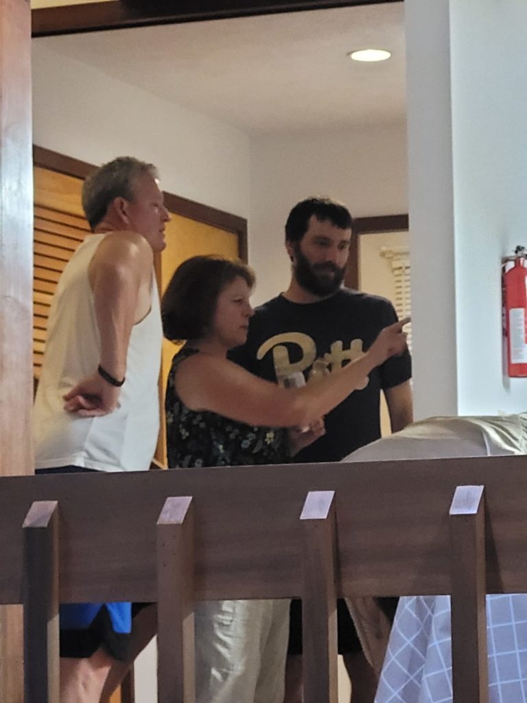
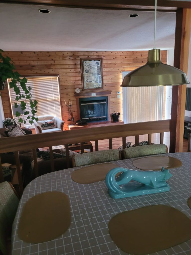
My Mom and Dad were totally fine with lounging around and eating being the focus of our zero day, which is exactly what Spout and I needed. We ate a breakfast of eggs, bacon, and pork rolls (apparently a New Jersey thing). To beat the heat, we threw around water balloons in the backyard. Then, after realizing air conditioning was more effective, we sat inside for a long while talking about exciting things like future travel plans and boring things like insurance.
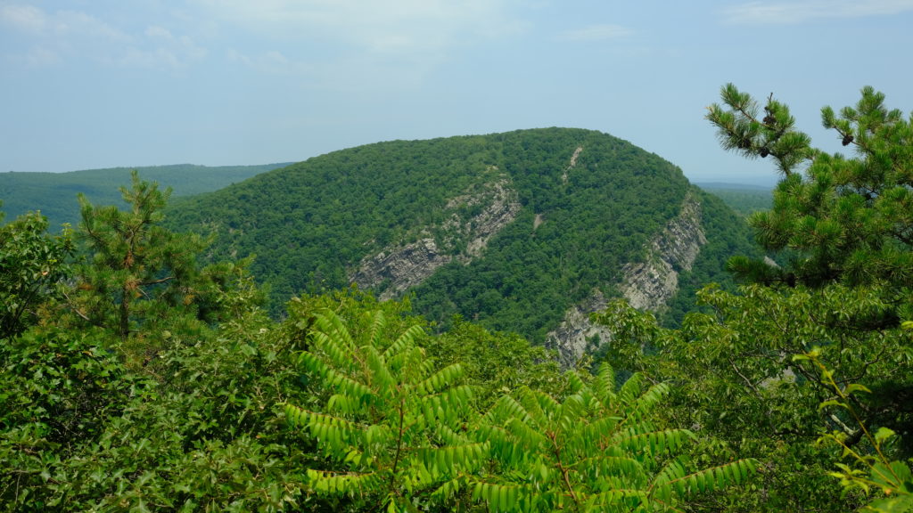
The four of us grabbed dinner at the historic Tom X Tavern. I still don’t know what is historic about it, but they had pretty good mini pierogies. We drove into Delaware Water Gap to get a sneak preview of tomorrow’s hike. We pulled off on a few roadside viewpoints to see the state border beyond the Delaware River and the impressive Mount Minsi. There was a quaint little Apple Pie Bakery in town where we grabbed some delicious fresh-baked dessert.
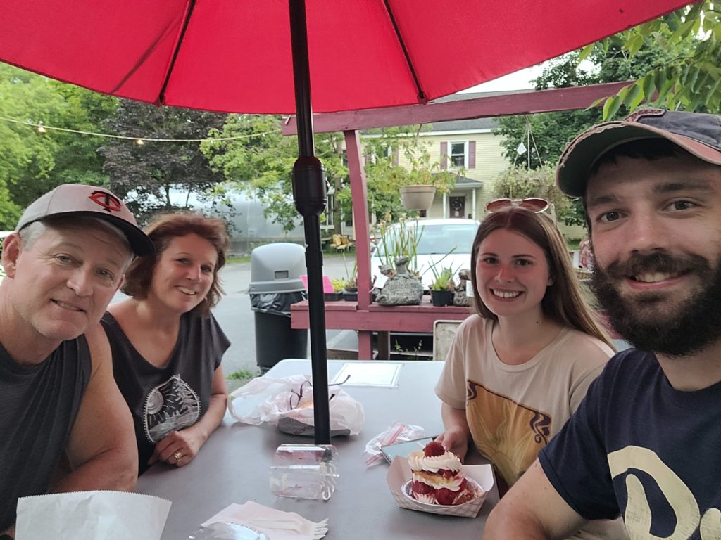
On the way home, we stopped at ShawneeCraft Brewery. It was a lively venue with a band playing on an outdoor stage and scattered seating among the lawn. After finishing our beers, we went back to the AirBnB and watched another film, Parasite, late into the night. Spout and I greatly appreciated the full day of recovery with Mom and Dad. For the first time ever on trail, I walked fewer than 3,000 steps in a day!
7/24 – Day 85
14.1 miles from East Stroudsburg to Raccoon Ridge
Following a hearty breakfast, we packed up our things and left our weekend abode. My parents drove us to Price Chopper to resupply for the next three and a half days of hiking. Afterwards, our car was headed for the trailhead at PA 191 where we left off. While Spout and I prepared our backpacks, my parents handed out some drinks to passing thru-hikers, Buck Naked and Naomi, and even left a stocked styrofoam cooler.
Mom and Dad were up for a bit of hiking, so the four of us stomped ahead together for the next mile north. There were some scattered rocks, but the terrain was otherwise pretty manageable as we passed the Kirkridge Shelter and reached a field with a view over the Delaware River valley. At this point, my parents were ready to make a U-turn back to the car, so we said our goodbyes and they saw us off as we continued forward into the endless wood.
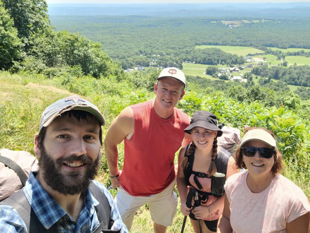
Spout and I are grateful to have such loving and supportive family and friends who have traveled such long distances to visit us, from Shenandoah all the way to Delaware Water Gap. It is almost unbelievable to think that we are now passing through our home state and the meetups are likely coming to an end for some time. A big thank you to everyone who has visited or has been supporting from afar, we love you so much.
Now back down to two, Spout and I began a slow descent over several miles towards Delaware Water Gap, with occasional overlooks of the river. At the bottom, we got bonus trail magic from Trail Daddy and his family. After chatting with them for a short while, we stopped for coffee in town then made our way to the Delaware Water Gap Bridge that links PA and NJ midway across the water. I said a phrase likely only ever spoken by AT thru-hikers: “I’m so happy to be in New Jersey”.
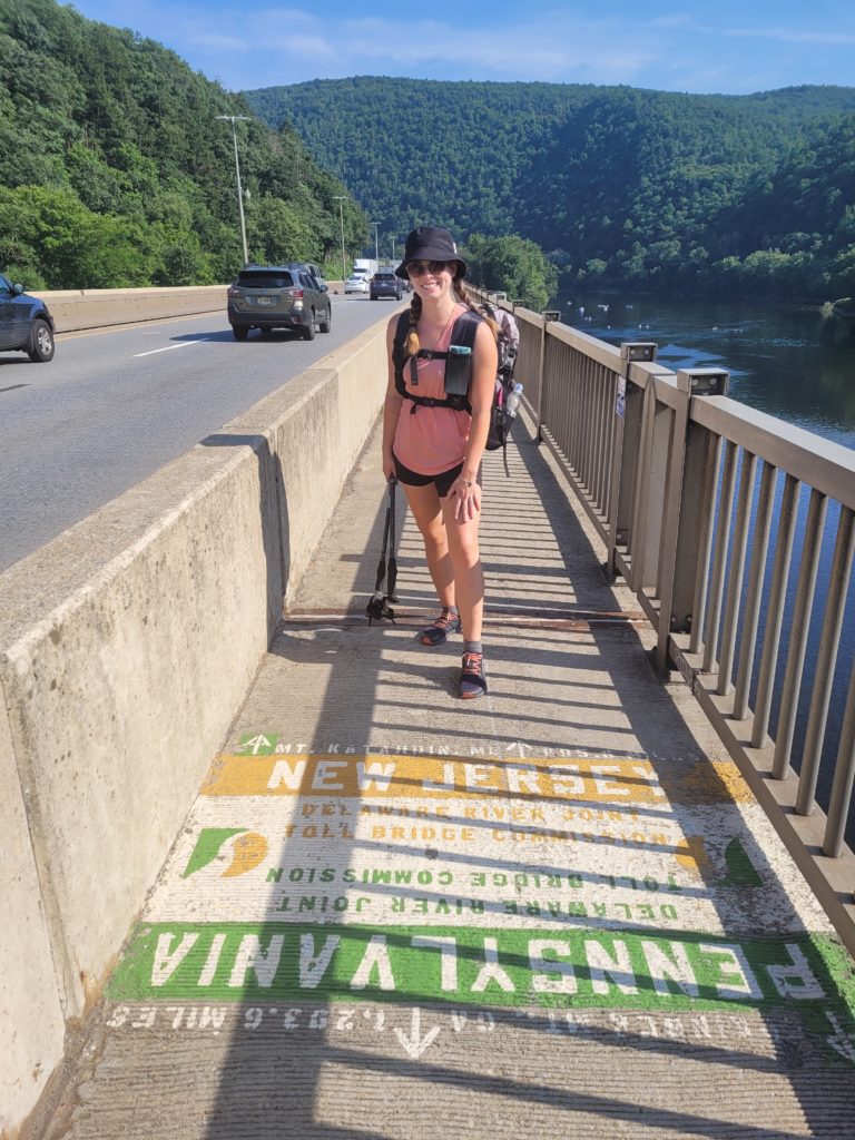
The bridge was heavily trafficked and tourists had overtaken the recreational area, but it was a beautiful spot nonetheless and probably the most iconic border crossing of the AT. There was a three mile climb that ran mostly parallel to a tributary, then some ridge walking as we worked our way towards the camping areas. As expected, the rocks did not suddenly disappear but they were somehow different and more manageable. We reached a scenic pond with high acidity that only supported two species of fish and some frogs.
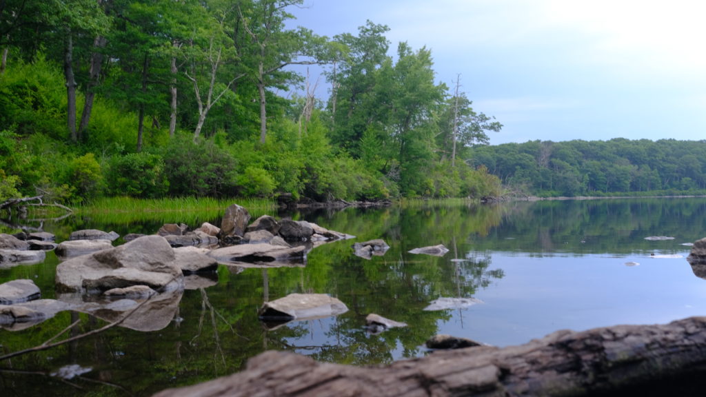
As we neared Raccoon Ridge, dark clouds overtook the sunset. Storm clouds were brewing in the distance, headed right towards us. We hustled to find a suitable campsite free from the rocks. Rain that started as a light sprinkle soon picked up to a downpour. We plopped down our tents in a clearing with a sign that said “No Camping” and frantically completed the worst pitch of our backpacking careers. The rain was over in ten minutes. Far too lazy to move our tent, we settled with a few minor adjustments and stayed dry overnight. Welcome to New Jersey!
What’s next?
New Jersey is only 70 miles long and then we will enter New York! The trail becomes more interesting as we work our way north. Morale is high. ETA to Katahdin is still mid-September.
Stay Dirty,
Candyman & Spout

Loved your journaling and the pictures! So much fun following you! Hugs