4/30 – Day 0
8 miles from Amicalola Falls to Springer Mountain
The day finally arrived. The countdown on our phone that we checked daily for almost a year was at “0”. Amy graduated from college, we moved out, and suddenly found ourselves on an airplane to Atlanta, GA. The flight arrived nearly 20 minutes early. We took the MARTA to North Springs from the airport and met Dave, aka No Dog, waiting to pick us up in a suave floral button down.
No Dog was a great guy and told us he was just happy to be the first trail angel we encountered. During the hour long drive, he left us with a few nuggets of wisdom that he picked up during his thru-hike attempt in 2000. “start slow, there’s no rush to reach Katahdin”, “in three weeks you guys will be monsters”, and my personal favorite: “if you ever feel like giving up, just don’t”. As we got closer to the state park, I noticed the butterflies in my stomach starting to take flight. Reality was setting in. Dave dropped us off at the park, pointed us to the registration office, and sent us on our way. Amy registered as thru-hiker #3162 and I #3163.
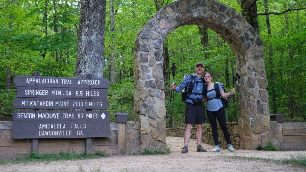
Amicalola Falls State Park was every bit as magical as we expected. There was a small child spinning in circles next to the bathroom chanting “yeet” repeatedly- I think we shared the same excitement as her. The entrance to the iconic starting arch was unfortunately under construction, but we were still able to access it by walking around. After an emotional start and close to a dozen pictures, we took our first steps on the approach trail to the AT.
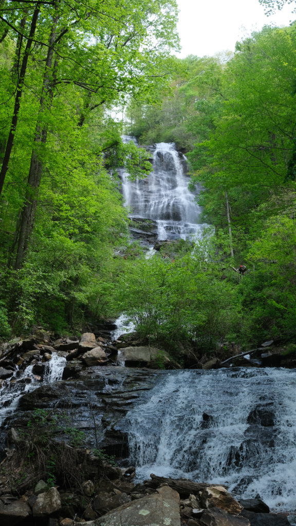
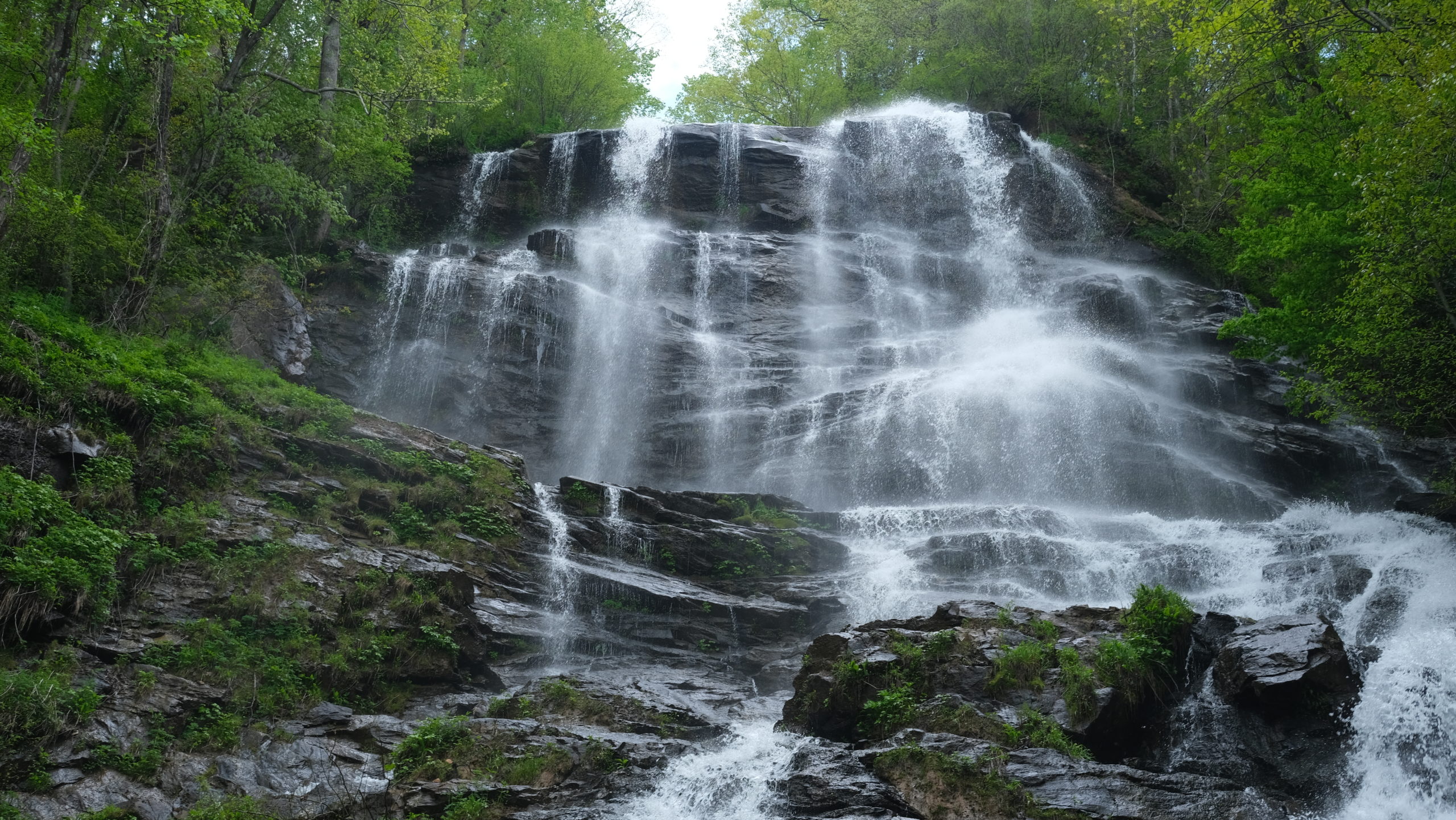
We are glad we did not skip the approach trail, as Amicalola Falls was absolutely stunning. The massive waterfall cascades among the lush forest on either side. The trail begins at the base, looking up at the formidable tower of water, with a steep winding staircase. We had been warned about the stairs, but they were surprisingly easy for us. Perhaps our conditioning payed off! The most difficult part was navigating the dense crowds that gathered to explore the park on the beautiful Saturday morning.
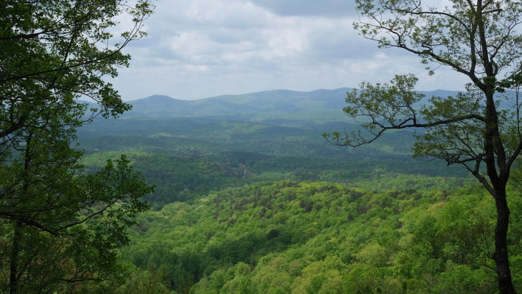
Once we had conquered the stairs, the crowds vanished along with the paved walkways. We found ourselves immediately lost in the heart of the Appalachians, traversing rolling terrain with pleasant green mountains in the distance. The approach trail was mostly all uphill and we passed four other thru-hikers just starting out.
By 5:00pm we reached Springer Mountain, the southern terminus of the Appalachian Trail. “A footpath for those who seek fellowship with the wilderness” was plaqued onto the rock. We relished the moment, performed a few odd rituals in the presence of the first white blaze, and continued to the shelter nearby.
Springer Mountain shelter was a well-constructed, double decker. Amy called dibs on top bunk. We chatted with the first bunch of thru hikers we met and made some easy conversation until dusk fell and everyone immediately retired to bed. An unspoken agreement: when it gets dark in the woods and you don’t have a fire, there is not much to do.
5/1 – Day 1
15.6 miles from Springer Mountain to Gooch Mountain
The next morning, Springer was shrouded in a thick coat of fog. We left the shelter at 7:00am and were still the last ones out. We began our first true steps on the Appalachian Trail just as a sudden rainstorm unleashed. For maybe twenty minutes, we hiked through a downpour before taking shelter under a sign at the next parking lot.
From then on, the sky remained overcast and the cool breeze made for nice hiking weather. Our original plan was to make it to Hawk Mountain Shelter, only 8 miles away, however we ran into a girl named Grace who was pushing past to Gooch Mountain. We started hiking with her and found we had similar paces. We ended up hiking the rest of the day together and made it to Gooch Mountain shelter around 4:00pm.
An entirely new set of faces awaited us at this shelter. Amy and I stayed in the loft again, this time with Grace. We played some checkers on a board scribbled onto the picnic table until we got bored and went to bed.
5/2 – Day 2
15.9 miles from Gooch Mountain to Bull Gap
We awoke at 6:30am the next morning. We had a decision to make today, as the area between Jarrard Gap (~8 miles) and Neel Gap (~15 miles) required bear cans to camp overnight, which we did not carry. Trying to follow No Dog’s advice and “take it slow”, we planned on making it to Jarrard Gap and pitching camp. Turns out, getting to camp at 11:45am is rather boring. Both of us felt great and we were excited, so we decided to press on. I’m sure our knees were thrilled.
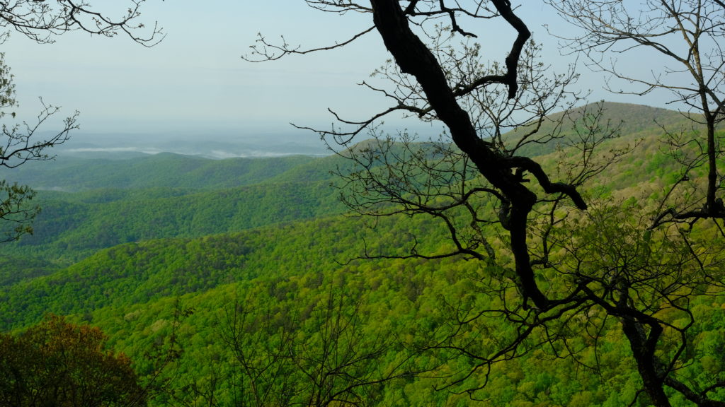
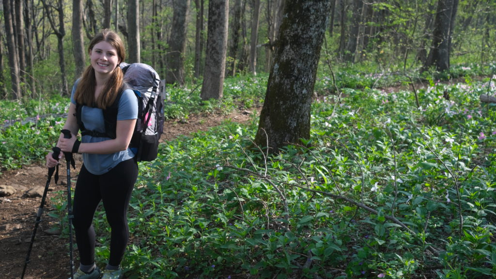
We entered the Blood Mountain Wilderness and began the largest climb of the trail thus far. We gradually hiked over hillsides with endless wild germanium and white trillium flowers, a lovely section. We passed three guys smoking who left their hiking sticks in the middle of the trail. Amy lost her footing on one and it cut her leg. So, as it was, Blood Mountain lived up to its name.
The grade steepend closer to the top but we summitted the mountain without too much hardship. There were some epic overlooks of the Georgia Appalachian range and a huge stone hut. We hung out for a short while but wanted to make it to Neel Gap before 5:00pm, as the first resupply point, Mountain Crossings, was closing. The descent of Blood Mountain was much more difficult than the way up and included close to a full mile of rock stairs.
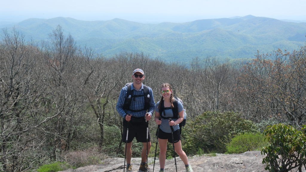
We arrived at Mountain Crossing just after 4:00pm. It is a store aimed specifically at thru-hikers, including food for a full resupply, gear, and even free pack shakedowns. We bought an extra Platypus Quickdraw filter and 2L bag (which were forgotten at home…) and some food for the next few days. Lastly, we snagged a frozen pizza that they told us they could cook in the oven for us. After twenty-five minutes, and still no pizza, a lady came outside and told us something tragic happened. The timer on the oven had malfunctioned and the pizza burned. However, they were making another one for us. They offered the burnt pizza anyway and we obliged. It was devoured in minutes. To us, it was no tragedy; we got to eat two pizzas!
We wandered about 1/3 mile down the trail and found a nice flat spot for our first night in a tent. It was quiet and secluded staying away from the busy shelters.
5/3 – Day 3
11.1 miles from Bull Gap to Low Gap
Tuesday morning, it was very windy. It seemed like a storm might roll in, but as we got out of our tents we saw the sky was perfectly clear. It turned out to be another beautiful day, with highs in the 70s. After two slightly longer days we were commited to keep today under fifteen miles. We packed up our tent and continued north into the Raven Cliffs Wilderness.
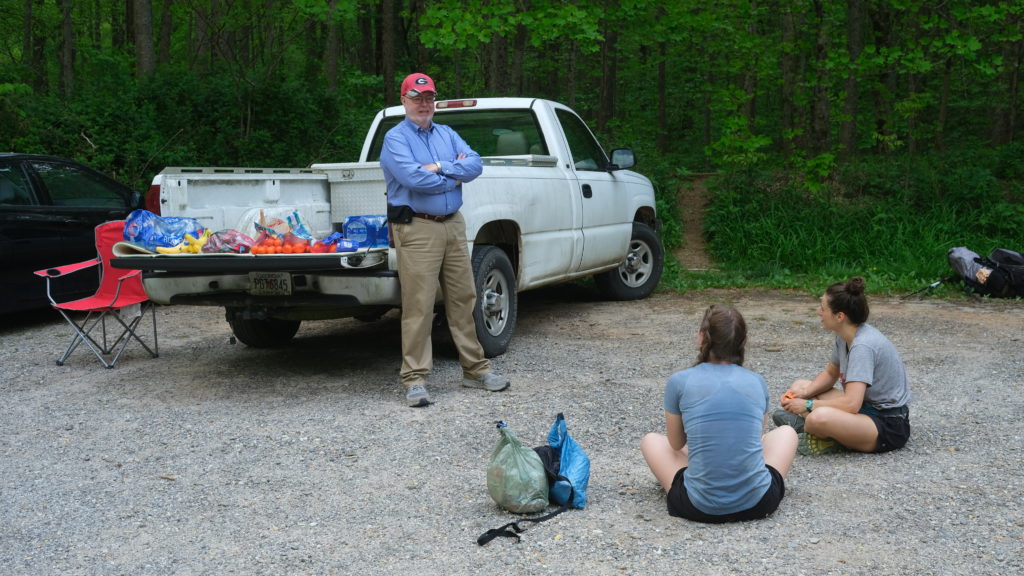
Several miles of persistent ups and downs followed and we came across more beautiful views. Then, we rolled into Tesnatee Gap around 11:00am and found our first trail magic! A nice gentleman named Roy with a Georgia University hat pulled up and offered us fresh fruit and bottled water. We chatted for a brief while, thanked him, then continued forward. It was a surprisingly difficult ascent out of Tesnatee Gap.
We completed the final four miles into Low Gap shelter by 1:00pm. We found Grace, henceforth referred to as “Webs”, as well as more new faces, awaiting us. Collectively, it seemed everyone needed a shorter day and we decided to relax the rest of the afternoon. We bathed, washed our clothes in the nearby stream, and built a fire.
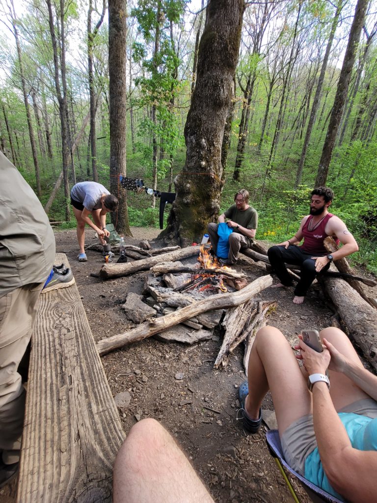
Later into the evening, a man came strolling into the campsite and introduced himself as Aquaman. He asked if we were northbounders and we said yes, somewhat confused. Turns out, he was hiking southbound! Starting at Katahdin on December 5th, he hiked through 500 miles of snow in New England and was now only two days from finishing the trail, about to be the first southbounder to complete the trail of the season. He shared some excellent advice and hilarious stories about his eating habits. Sitting around the fire with a dozen amazing folks we had just met and hearing Aquaman’s inspirational journey was a wonderful experience and we were eager to push forward the next day. We pitched our tents just up the hill from the shelter and went to sleep.
5/4 – Day 4
15.3 miles from Low Gap to Tray Mountain
The trail north of Low Gap was probably the easiest section in Georgia. We cruised through five miles in less than two hours. Our plan was to reach Unicoi Gap before taking lunch because we heard the following section was difficult. We stomped our way there before much longer, meeting Webs, along with our new friends Mouse and Happer, at the parking lot with yet another trail magic! Roy and his beat up truck were waiting for us with more fruit and water. We stopped, ate lunch, and chatted for a long while. Roy told us about his fossil collection and how much he hates Alabama University.
From Unicoi Gap, the trail ascends 1000′ to Rocky Mountain, then immediately goes back down to Indian Grave Gap, then follows a brutal, three mile climb to Tray Mountain of nearly 1,500′. By the top, we were feeling burnt. Easily the most exhausted either of us had felt since we started. Together we agreed we would take an easy day into town tomorrow to resupply and take a zero day at Hostel Around The Bend.
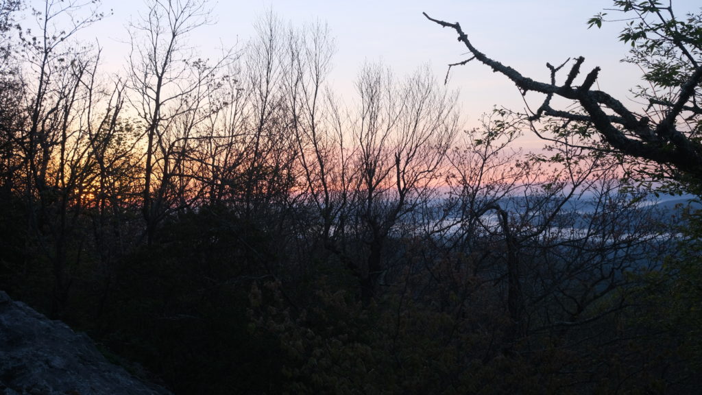
We crawled into Tray Mountain camp at 4:00pm and wolfed down our dinners. Thai curry offered an easy 900 calories, and I ate some mac and cheese for dessert. Happer and Mouse joined us at camp. Just behind our tents, we found an exposed rock face where we hung out as the sun set on the opposite side of the mountain. Another beautiful evening in Georgia. Despite the amazing weather we have had so far, heavy rain was forecasted for Friday and were looking forward to our first town.
Etc.
I’m hoping to provide updates every time we go into town. It turns out that updating the mileage, Google map location, excel sheet with daily stats and expenses, and writing the posts takes a lot of time. Doing it all on a phone is frustrating also. Apologies if the formatting is imperfect. Still trying to find a good balance. Almost out of Georgia, stay tuned! Thank you everyone for the support and encouragement.
-Alex and Amy (trail names pending)

You already have trail name. 🙂