Trip Report
For 2024, we wanted to push ourselves and attempt the longest trail we have ever hiked on a vacation. Tim, Season Pass, Amy, and I were in for the long-haul, planning to cover 174 miles around the entirety of Lake Tahoe in just nine days. This was uncharted territory for some of us and we had little idea what to expect from the Tahoe region. I am proud to say that by the end of this hike, we collectively smelled worse than any summer backpacking trip we’ve done before.
Where: Tahoe Rim Trail, counter-clockwise around Lake Tahoe in Nevada and California
When: 8/31 – 9/8
Distance: 174 miles
Conditions: 50s to 70s, sunny every single day
Pre-Trip Information
Lake Tahoe is the largest alpine lake in North America, famous for its stunning location within the Sierra Nevada range. There are several towns and over 40 beaches scattered along 72 miles of shoreline. Elevated high above the coast, a footpath has been carved out along the mountains that allows hikers to circumnavigate the entire lake, known as the Tahoe Rim Trail (TRT).
The Tahoe Rim Trail is 174 miles, and to my knowledge, one of the longest loop trails in the world. About 49 of those miles overlap with the Pacific Crest Trail (PCT). The trail offers countless views of Lake Tahoe, but also snakes through sparse evergreen forests, explores the shores of mystical alpine lakes, and climbs towering passes over 10k feet in elevation. The TRT promises a thru-hike-in-a-box experience, which includes an authentic thru-hiking community, unique towns to resupply, and interesting landscapes at every turn that provide plenty of opportunities for side quests.
Gear
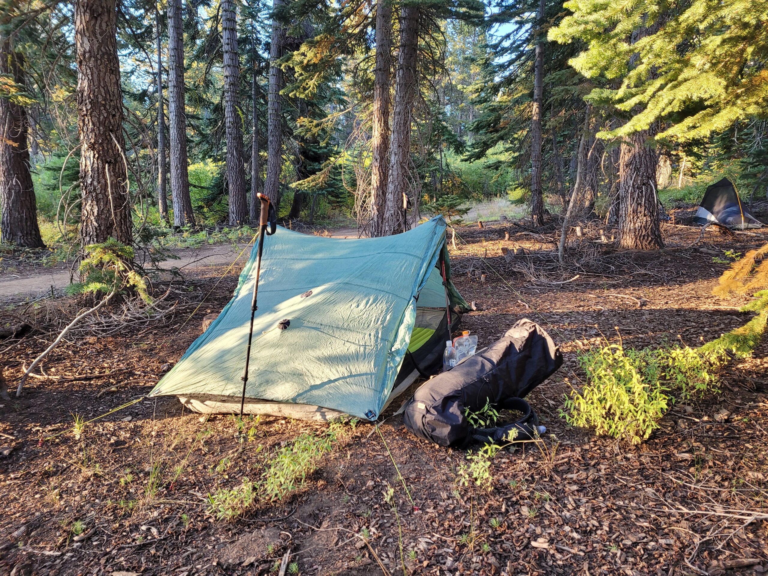
Hard-sided bear canisters are required throughout the Desolation Wilderness and all forest land in the Lake Tahoe Basin Management Unit. For this trip, I bought a new BearVault BV500, which is the largest size they sell and has capacity for up to a week’s worth of food. This was necessary since we were planning on carrying five or six days of food after our first resupply.
Other than the bear can, a pretty standard three season load out is more than adequate for this trail during the summer months. It was worth being prepared for an unexpected snowstorm, but I think rain gear can comfortably be minimized. Microspikes or crampons may be useful on heavy snow years, especially early in the season, but we did not step foot on any snow or ice. I left my puffy at home had leaned into my alpha direct + wind shirt combo with great results.
Additional new gear for this hike included an (unnecessary) re-haul of my electronics setup. All in the effort to remove a tiny adapter from my kit, I upgraded all of my devices to be USB-C compatible. I started by picking up an Anker Nano 3 wall charger, which fast charges at 30W and has fold-able prongs. Then, I replaced my headlamp with the new Nitecore NU20 Classic and battery with a Nitecore NB10000 Gen 3. The headlamp is pretty much the same as my old NU25, except it now includes a battery indicator, a new shock cord strap, and the aforementioned USB-C port. The NB10000 replaced my Anker Powercore 10,000mAh battery. It is over 50g lighter, charges devices faster, allows pass-through charging, and has two USB-C ports for in/output.
I hiked in a pair of Patagonia Multi Trails shorts, which seem to be a redesign of the Patagonia Nine Trails shorts that I wore for the entire AT. They are much more comfortable than the Patagonia Baggies I was experimenting with and will probably become a new staple for me on trail. Lastly, I picked up a Vargo Dig Dig Tool, that serves as both a trowel and a tent stake for our non-freestanding tent. I was skeptical at first, since it sounds a bit gimmicky, but was actually impressed with how well it handled digging catholes. As a stake, it only struggled staying put in sand when all of my other tent stakes were having trouble anyway.
Season
Like most of the Sierras, this trail has a short season of optimal hiking, between whenever most of the snow melts (usually July) and before it starts again (usually September). In 2024, Mt. Rose received snow on August 24, the earliest in recorded history. It was melted by the time we started.
Generally, hiking the TRT earlier in the summer means ice on the passes, more abundant water in the streams, and bugs galore. Visiting later in the season avoids the snow and bugs, but will be drier and at greater risk of wildfires. We chose to hike the week of Labor Day and feel like we hit the sweet spot; the conditions were about as close to perfect as you can get.
Water
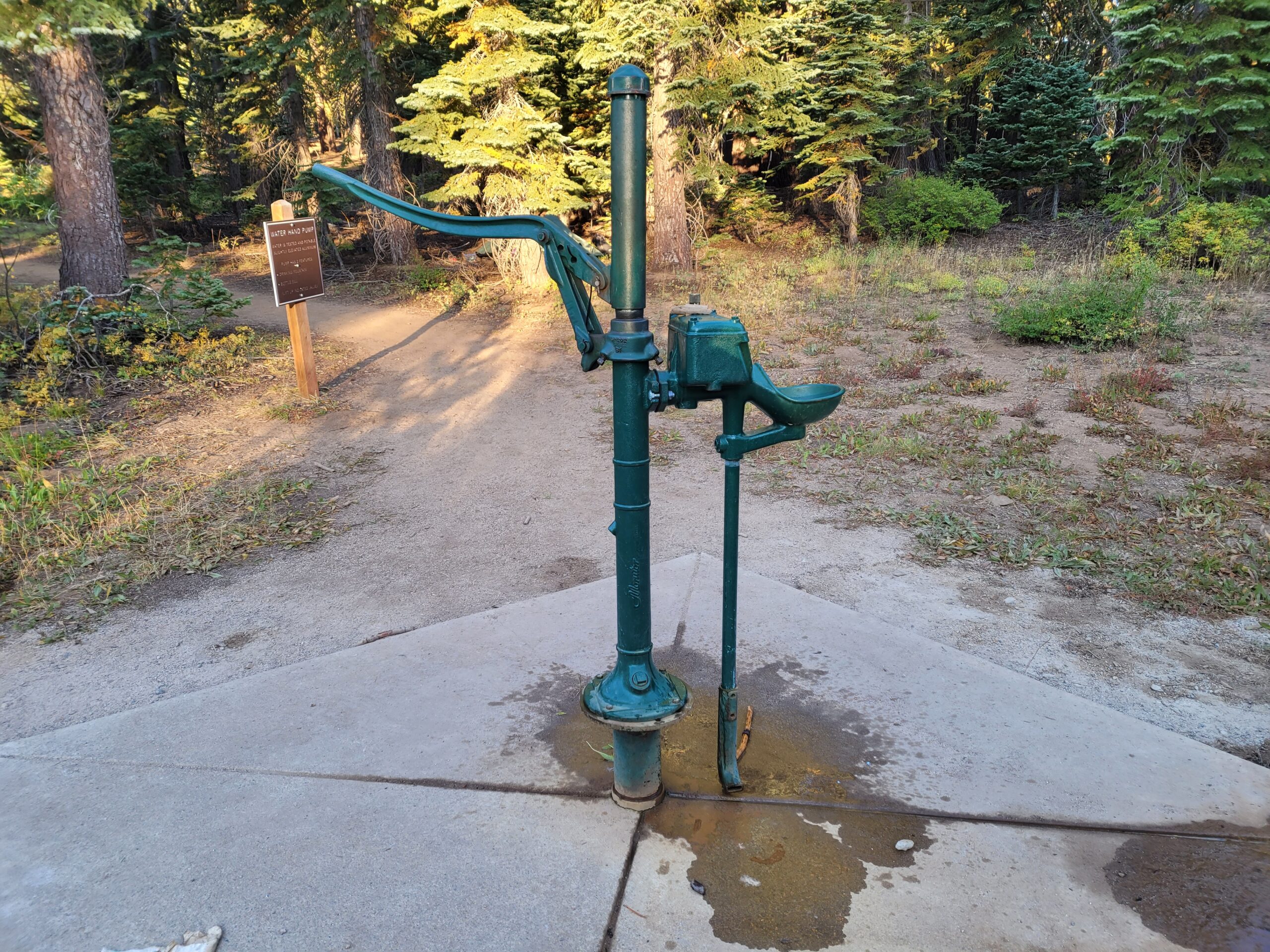
Reliable water sources are scarce along the north and east sections of the trail. Here, we regularly faced water carries of ten miles or more. Our longest carry was a 17 mile dry stretch between Mud Lake and a stream near Watson Lake, but we stumbled upon a water cache at Brockway Summit trailhead that shortened it significantly. Starting the trail at Spooner Summit seemed to be a good idea, as it effectively halved a 32 mile dry stretch between Daggett Creek and a water pump available at Marlette Peak Campground.
The west and south sections of trail are littered with alpine lakes which make water availability a non-issue. In total, I carried about four and a half liters of water capacity and Amy brought an additional three.
Resupply
The best resupply on the TRT is Tahoe City, CA, since the trail cuts directly through the town. Just a few feet off trail is a Chevron gas station, while a Safeway is about a mile down the road. There is also a post office right next to the grocery store for mailing a resupply package.
On the opposite side of the lake is Stateline, NV/CA (near South Lake Tahoe). This requires a short ride from Kingsbury Grade or a four mile hike down the Van Sickle Trail to reach town. Here, there is a CVS and a post office. Another option at the same junction is to hike one mile from Kingsbury Grade to a convenience store and restaurant combo: Tramway Market and Fox & Hound.
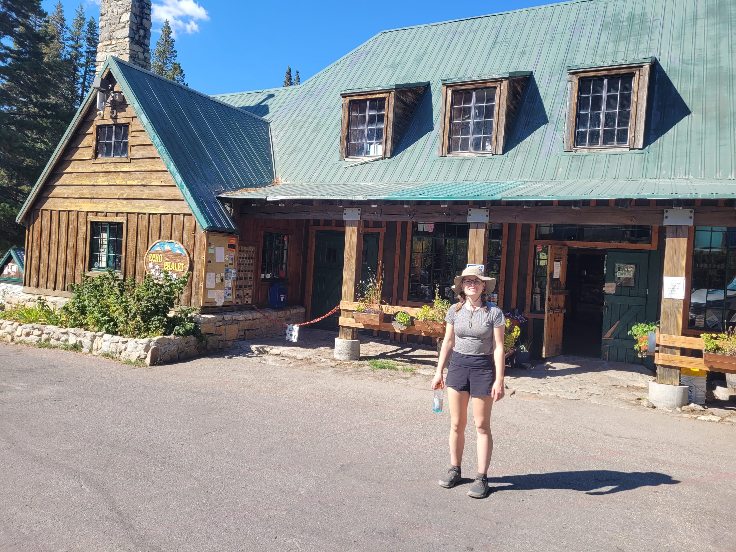
The south end of Echo Lake has a seasonal chalet (typically closes by Labor Day) that offers a surprisingly thorough, albeit pricey, resupply.
We planned our hike to start outside of South Lake Tahoe so that we hit Tahoe City on the fourth day (roughly halfway) and resupplied just once for the remaining five days. We did not rely on the Echo Lake Chalet, though it was open and we happily took advantage of an extra lunch.
Permits
There were two minor debacles leading up to our hike that made things a bit more difficult. First, was the permit situation.
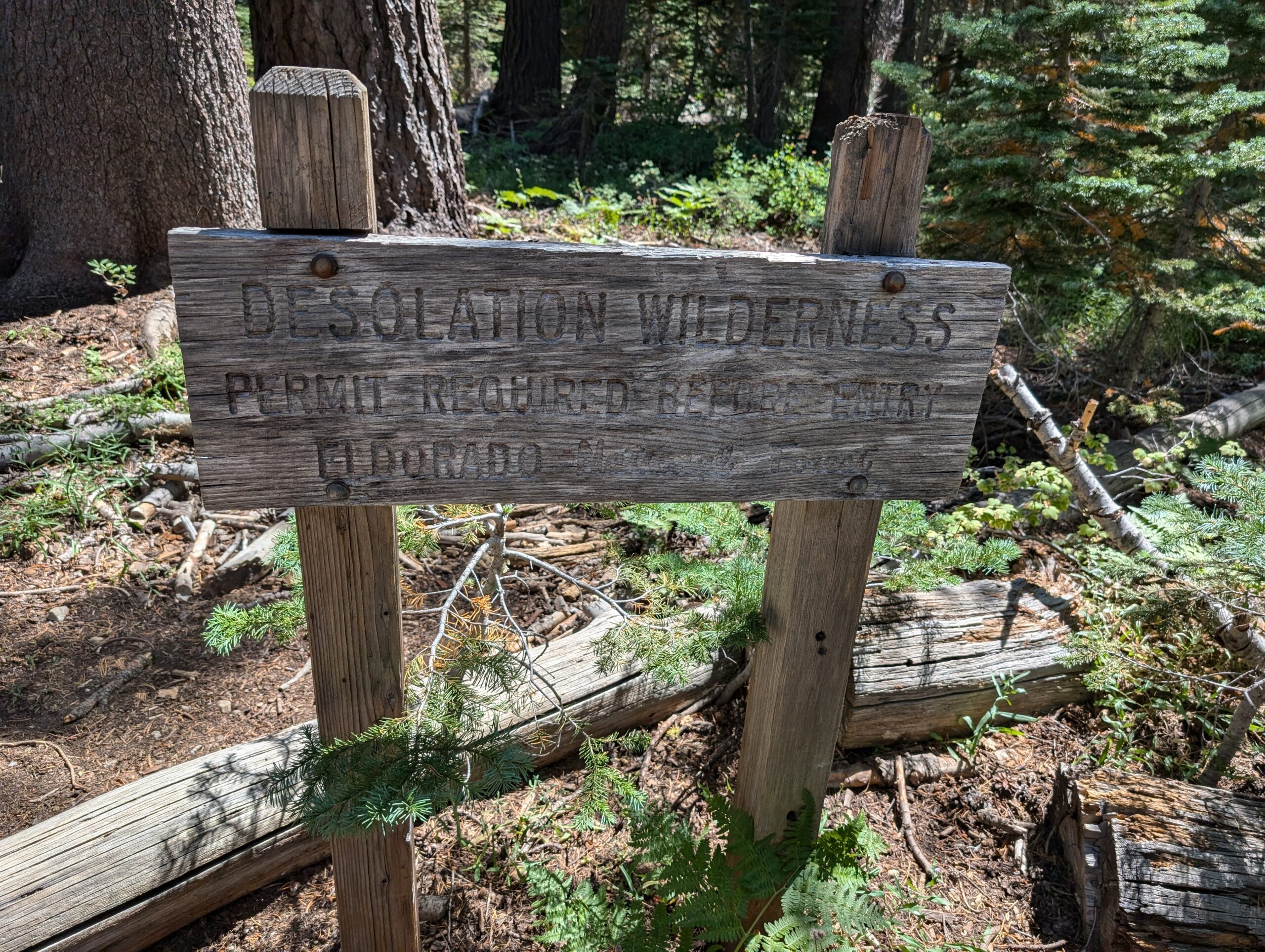
The Desolation Wilderness is the only section of the TRT that requires permits for camping and is about 22 miles long. Thru-hikers can call the ranger station 7-10 days before starting their hike and receive a free permit that allows camping anywhere in the boundaries of the wilderness for the provided dates. If you are doing a section hike or just exploring the Desolation Wilderness, you must apply for a paid overnight camping permit in a specific zone through the park service.
Of course, we opted for the former and tried following the instructions to secure a TRT thru-hiker permit. Tim called the ranger office on a Saturday, 7 days before our planned start date. He left a message and waited for a callback. After hearing nothing by the following Tuesday, I called again and got in touch with a ranger. She told me that she does not return messages left outside of business hours and that it was too late to issue a thru-hiker permit over the phone. The only way to obtain the permit would be to go in-person to the ranger station in South Lake Tahoe during business hours, but they were closed weekends (and Labor Day) and only open between 8am-4pm.
Picking up the permit in person was less than ideal, since our flight landed late on a Friday and we planned to start hiking early Saturday out of South Lake Tahoe. We either had to wait 3 days until Tuesday to pick up the permit or entirely restructure our itinerary starting from somewhere else and pass through South Lake Tahoe before reaching the Desolation Wilderness. The ranger was entirely unhelpful and even a bit rude when I asked if we had any other options.
Since it was now so close to the dates we were hiking, the camping permits for specific zones in the Desolation Wilderness were already picked over. However, we did manage to find availability for Lake Gilmore (Zone 29) the night of 9/4, which we figured we could reach if we started a bit further north at Spooner Summit trailhead heading CCW on 8/31. The camping permit cost $26 for the four of us.
The only other permit we needed was a free campfire permit that is required if you plan to use a gas stove.

Transportation
In theory, the travel logistics of hiking the Tahoe Rim Trail are simple, which is one of the reasons it makes for such a great vacation hike. All you need to do is fly to Reno, NV and hail an Uber or Lyft to one of several trailhead options. No shuttle or rental car needed.
This leads me to the second debacle of our trip, when Tim, Amy and I found out an hour before takeoff that the first leg of our flight from Pittsburgh to Chicago was delayed. Then it was delayed again. Then it was canceled entirely. This was all due to a storm grounding all air traffic in and out of the Windy City.
While the extra time in the airport lounge made for some memorable shenanigans, we were forced to reschedule the flight for the next morning. Instead of landing Friday night and hitting the trail first thing the next morning, we were no longer landing until 3:00pm on Saturday. Then, as misfortune would have it, our connecting flight was delayed once again after we made it to Denver, and it was nearly 4:00pm by the time we actually landed in Reno.

Season Pass arrived from Asheville, NC according to plan on Friday and spent the night with his friend Don, who lives in the area. Don turned out to be a true lifesaver. He offered to pick us all up from the airport and drive to Spooner Summit trailhead. Once Tim, Amy, and I Ianded and secured our checked bags, we quickly changed in the airport bathroom and ran outside to meet our friends. It took roughly 45 minutes to drive to the trailhead.
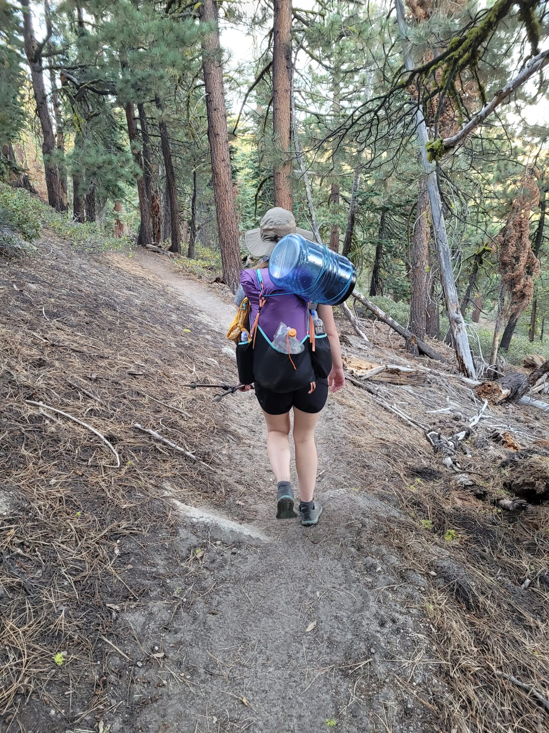
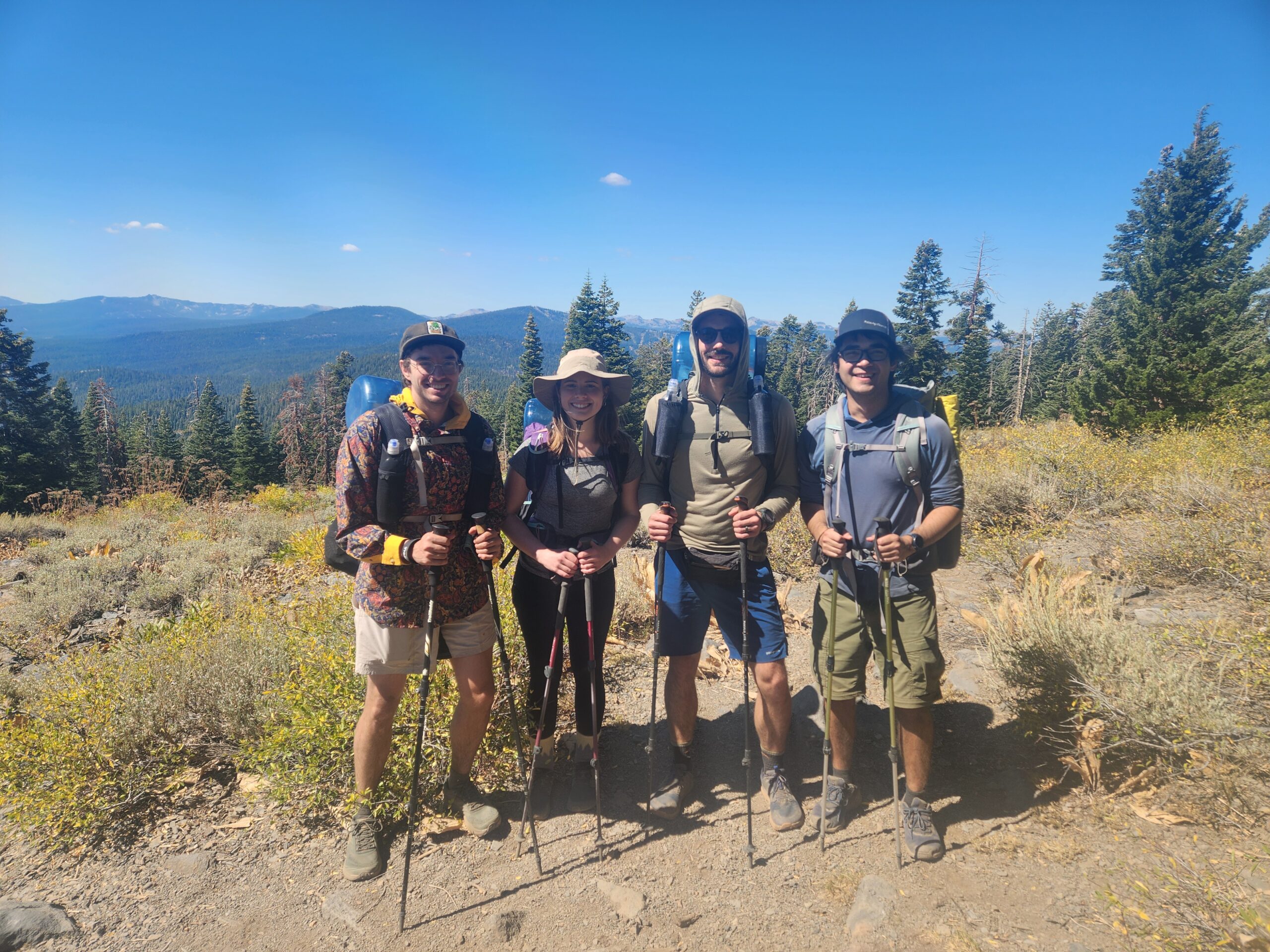
Once at Spooner, we chaotically readied our packs with the items we had to check on the plane (tent stakes, trekking poles, etc). Amy did not preemptively rig her backpack, a Gossamer Gear Kumo, to carry a bear can, so she haphazardly tied the BV500 to the top of her pack with a length of paracord in the parking lot. It was nearly 5:30pm when we were finally loaded up and ready to go. After a quick series of photos at the trailhead, we crossed Lincoln Highway and disappeared into the wilderness.

Day 1
Spooner Summit to Marlette Peak Campground
Distance: 9.8 miles
Elevation Gain: +2355′ -1276′
Within the first few miles, one thing became abundantly clear: Amy’s bear can was going to fall off multiple times during this hike. For now, it somehow hung on despite slipping from the top of her backpack to the side, and shaking around more with every step. I decided to keep score to see whose bear can fell off their pack the most.
I will say, it was strange to be immediately dropped off in the woods after nearly 24 hours of (attempted) traveling. There was no time to wind down or even prepare for the hike after landing. As always though, the moment I stepped foot on trail was the moment I let go of all “real world” stress. The first breath of evergreen was cathartic, knowing that for the next week the mountains would be our home.

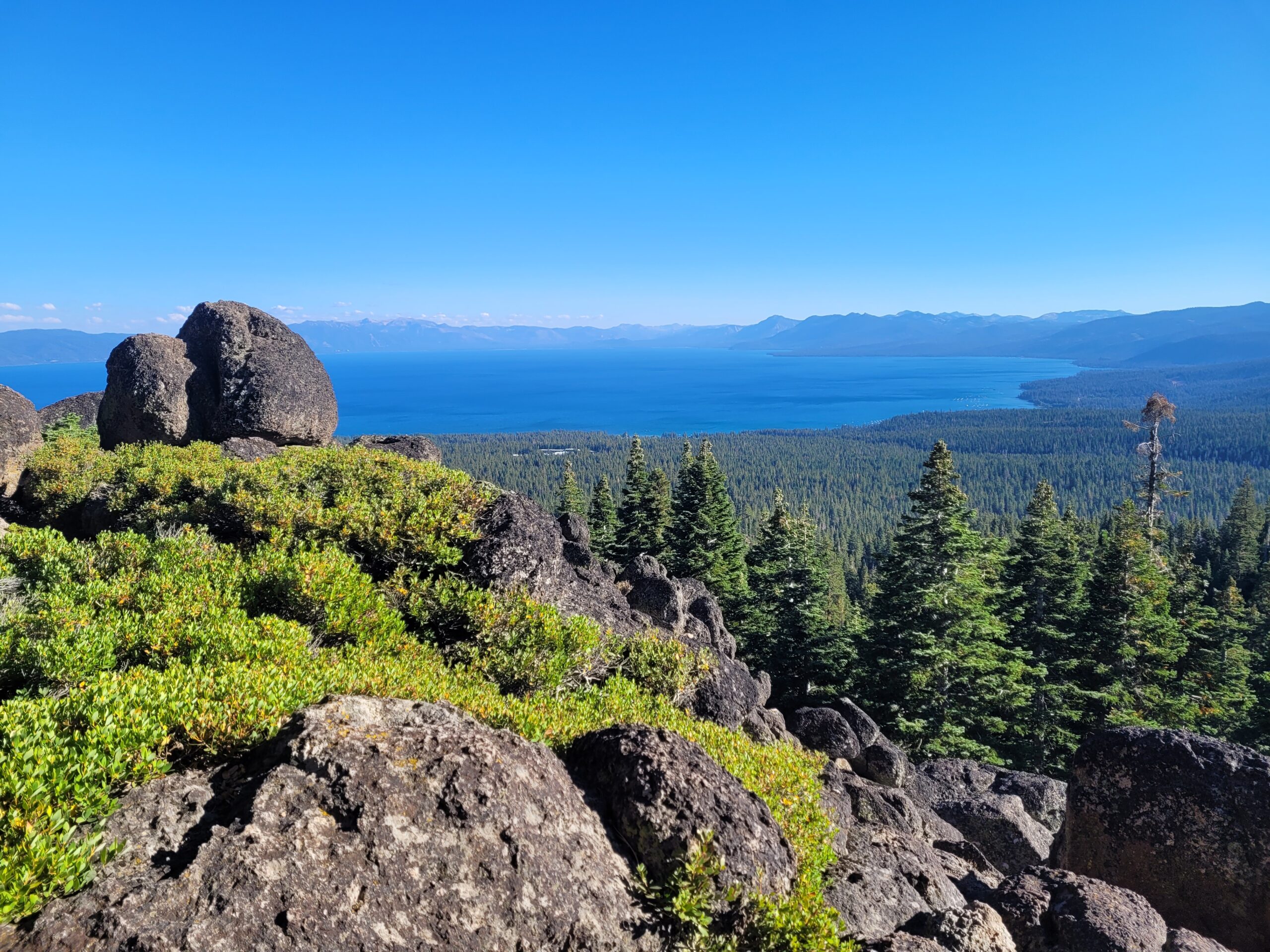
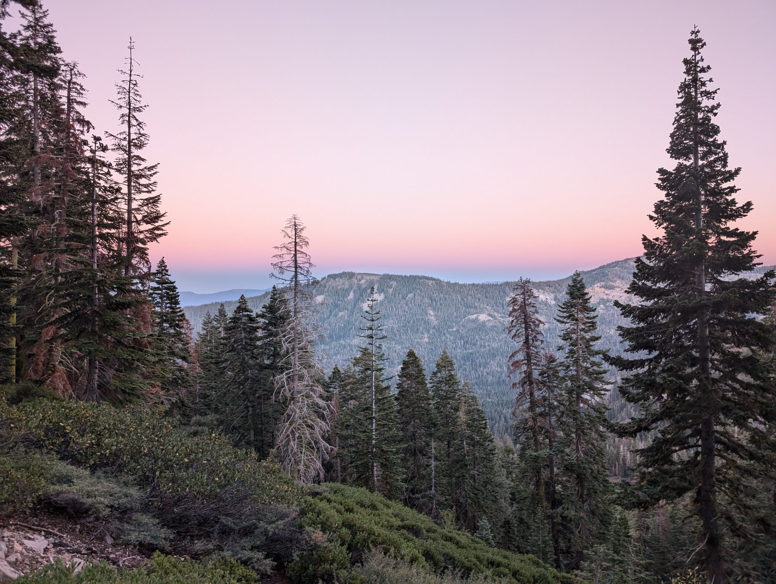
One of our first looks of Lake Tahoe, north of Spooner Summit
Since we started after 5:00pm, we had already committed to hiking after dark and because this stretch was a posted, “No Camping Zone”, we only had a single camping option. 10 miles away was Marlette Peak Campground, the only permissible campsite on the TRT for 16 miles north of Spooner Summit. The trail began with an easy 2,000′ climb over smooth switchbacks.
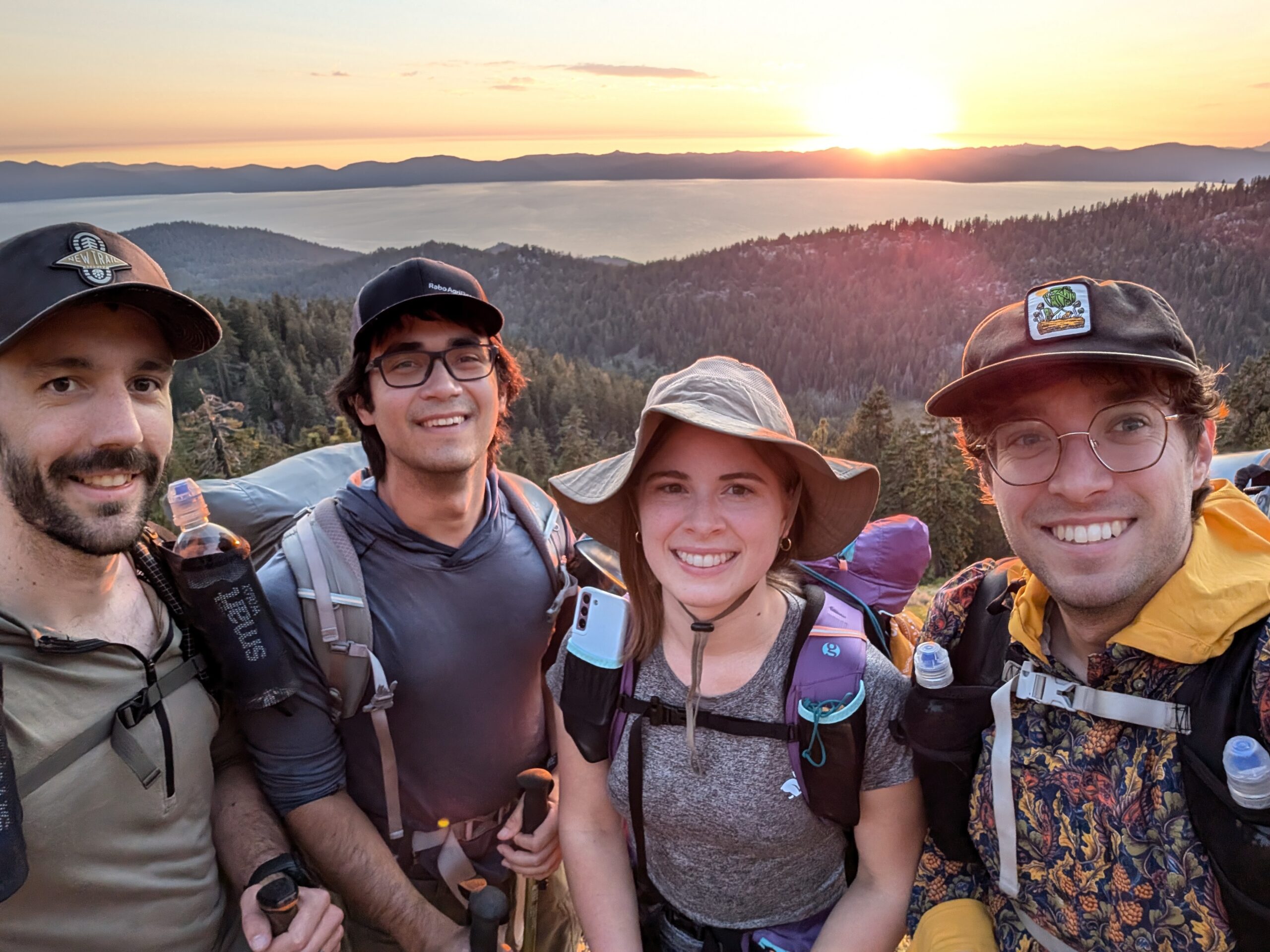
Alex, Season Pass, Amy, Tim
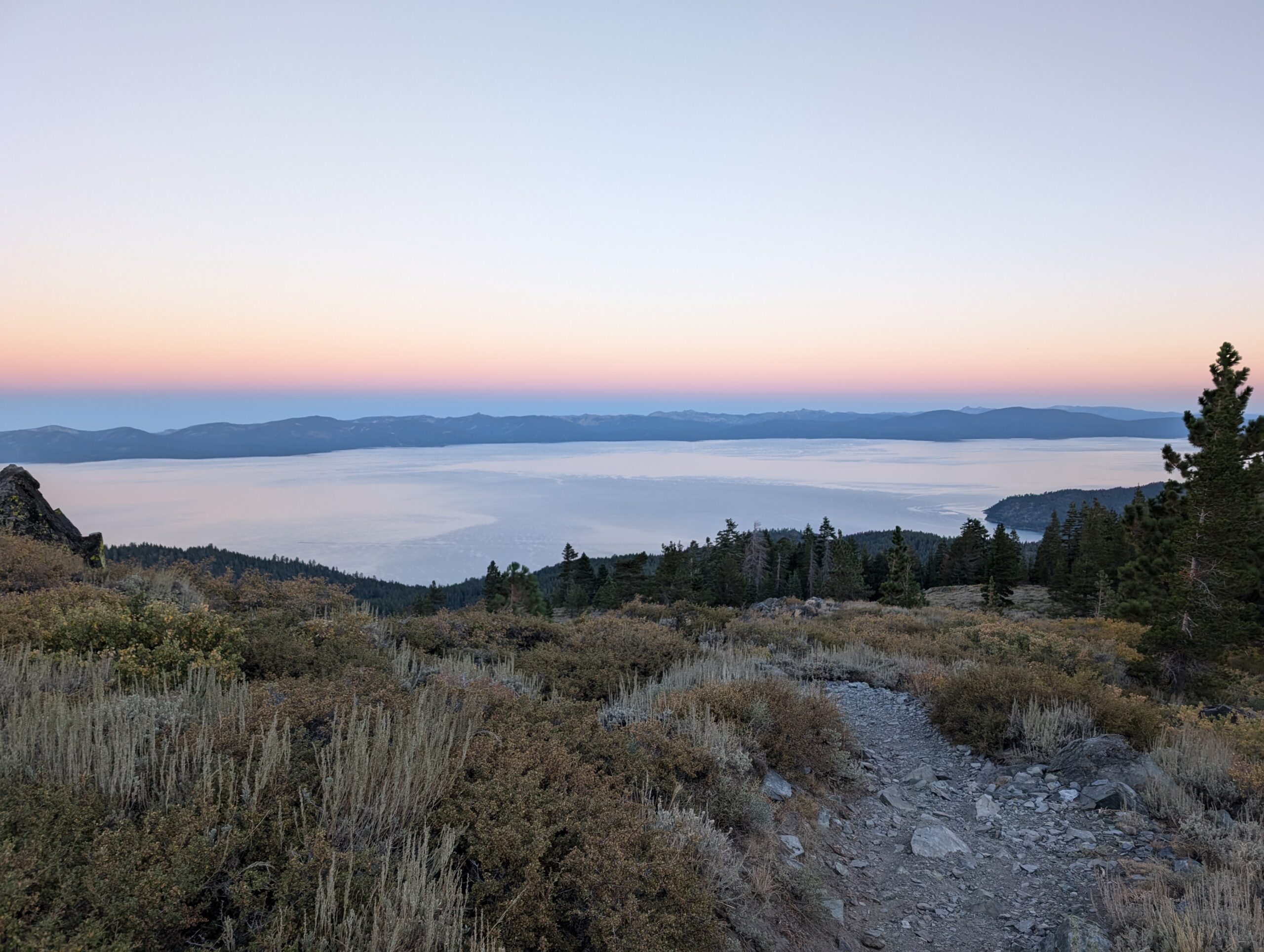
It was not long before we received our first good look of Lake Tahoe. It was golden hour and we had been hiking uphill for about an hour or so. The forest opened up along the ridge of Snow Valley Peak to a stunning view of the alpine lake. Without question, we all dropped our packs and took a snack break. Munching on a variety of energy bars, we watched the sun dip beneath the jagged crest of the Sierra’s across the lake. It was a fitting introduction to Lake Tahoe, like a greeting that whispered, “don’t worry, you made it.” Amy mentioned that all of the traveling would have been worth it for this one view alone.

Sunset over Agate Bay
We continued hiking into the night for as long as possible before busting out the headlamps. The new moon offered us no light, but hiking in the dark still felt less creepy than it does out east. It was honestly a pretty relaxing walk into Marlette Peak Campground, which we reached around 9:00pm. At first, we struggled to find suitable tent spots, since the campground is essentially built into a hill, but we eventually found some space closer to the water pump. I was more whooped from the long day of traveling than from the hike.
Day 2
Marlette Peak Campground to Mud Lake
Distance: 24.7 miles
Elevation Gain: +4688′ -3773′
In the morning, Amy and I boiled some water for coffee as several hikers walked past to use the water pump. By 8:30am, our group had eaten breakfast, packed up, taken advantage of the privy, and headed north on the TRT. The trail was graded gently for mountain bikers, who passed us sparingly despite it being an odd numbered day (signage stated bikers could only use the trail on even numbered days). We went up and down some hills and found regular overlooks of Lake Tahoe, as well as some of the inland lakes including Marlette and Twin Lakes.
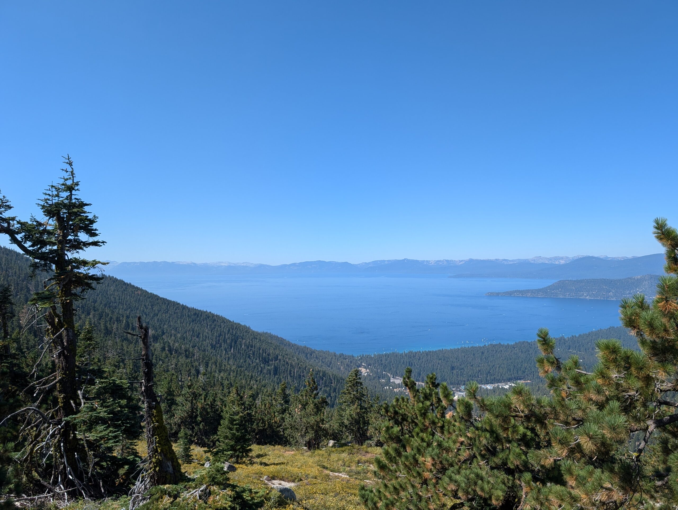
We were heading up and over the high point of the TRT today, but did not have any time to acclimate. No one in our group experienced any signs of altitude sickness, but I felt like a pack-a-day smoker climbing the base of Mt. Rose. My chest was tight, I couldn’t catch my breath, and I desperately needed a smoke lunch break. However, we needed to cover ten long miles to reach the first water source of the day. We eventually reached a bubbling stream and took a rest to filter and refuel. The sun was beating down on us, so we crawled into the brush to eat in the shade.
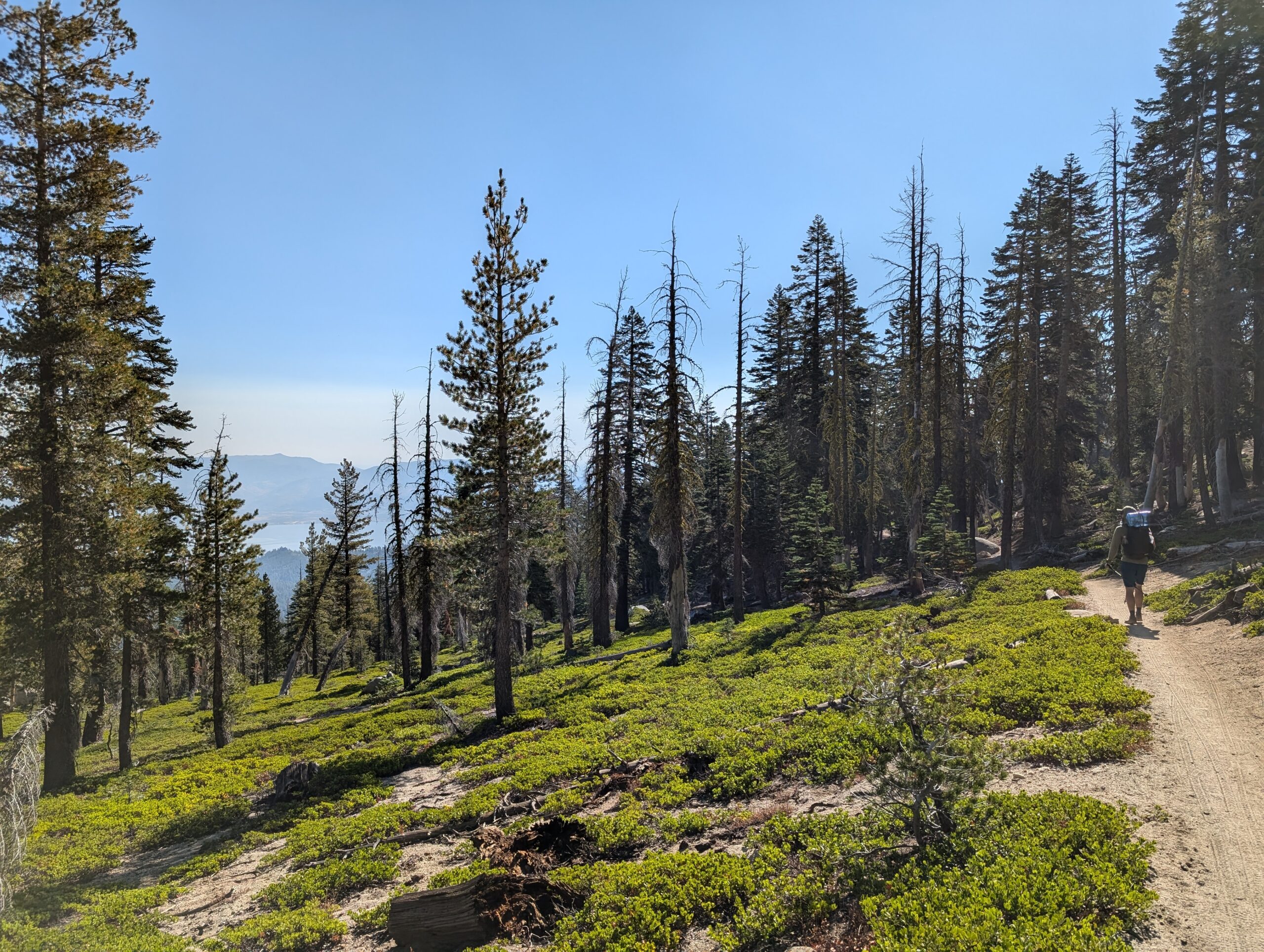
Up ahead, we continued a lengthy climb towards Relay Peak, passing through Tahoe Meadows. There were lots of day hikers in this section, since it was a beautiful Sunday afternoon and there were two popular trailheads in the Mt. Rose Wilderness. From the Mt. Rose Summit trailhead, the TRT turns to the west and we began covering the top part of Lake Tahoe. It was here that I passed a day hiker who commented, rather enigmatically, that I had “nice water bottles”.
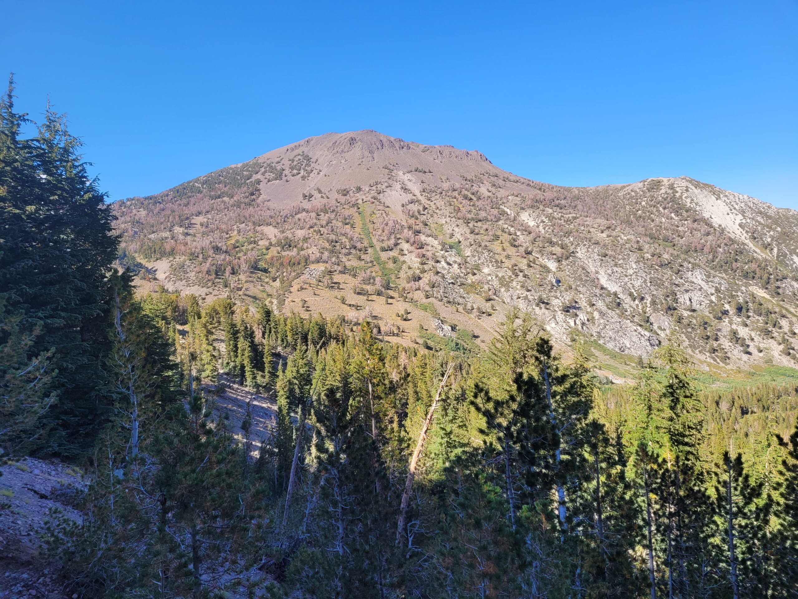
The climb grew steeper and we were treated to amazing views of Mt. Rose to the north. One benefit of carrying a bear can is that it makes for an excellent stool when you take a break at the top of a hill. We stopped to rest just short of Relay Peak at a particularly beautiful overlook of Lake Tahoe. Around us, white headed woodpeckers flew from tree to tree.
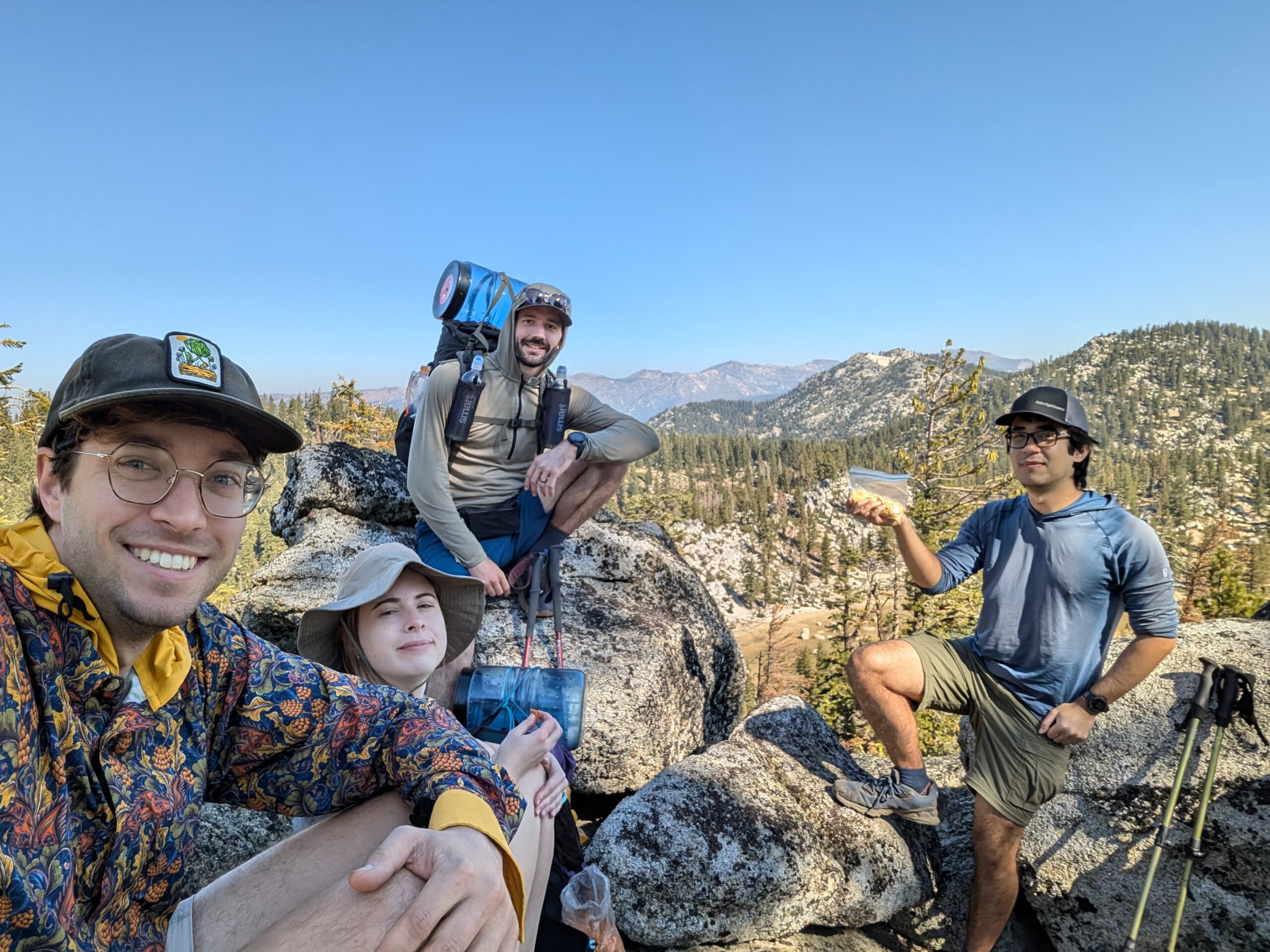
A hiker heading the opposite direction introduced himself as Obi Wan. It just so happened that he hiked the AT the same year as us in 2022, though we had never met him. He told us a couple of good stories about his week on the TRT, including his experience meeting a hiker named Loopy, who quit the CDT to hike around Lake Tahoe seven times in a row (and counting).
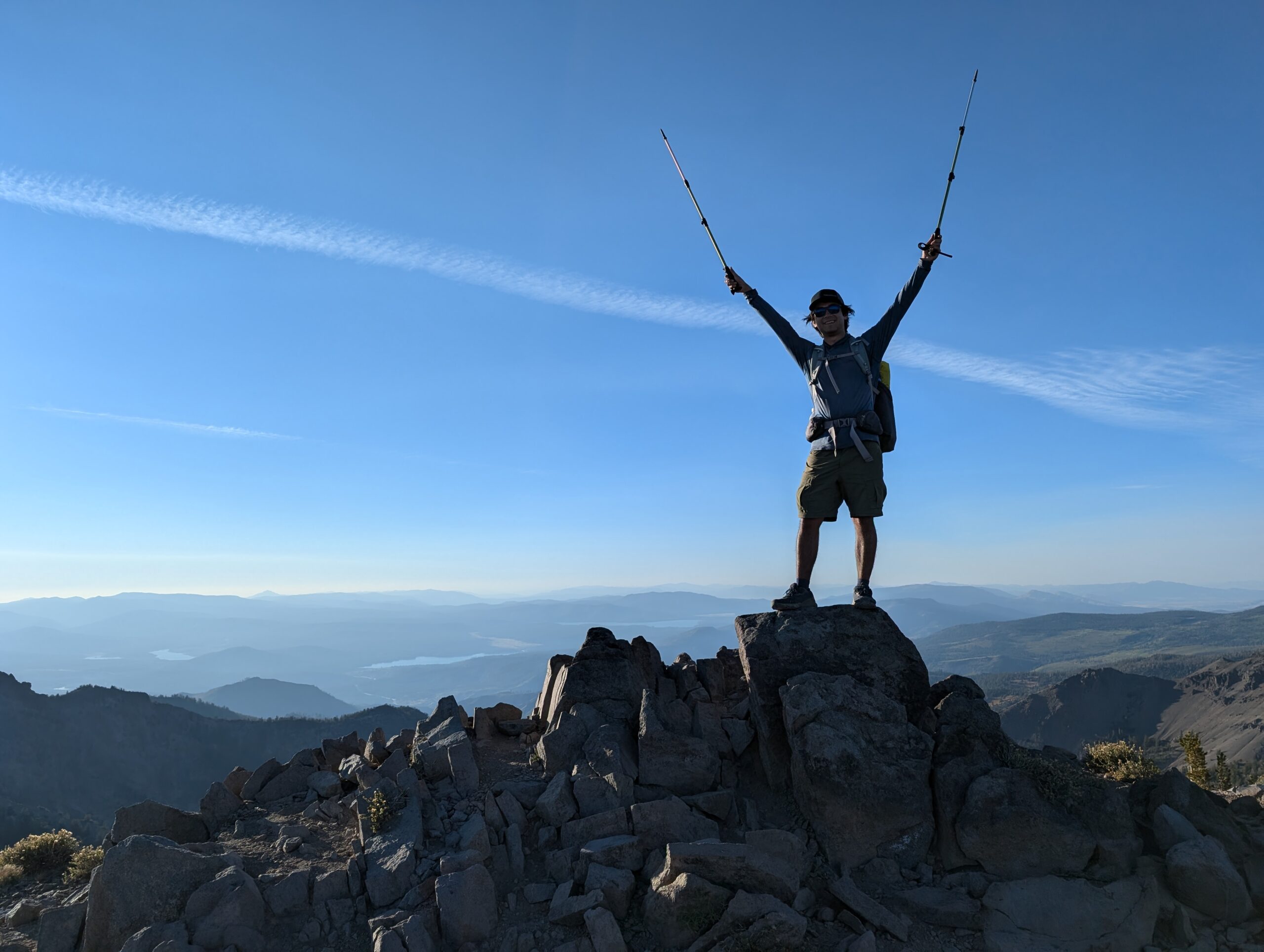
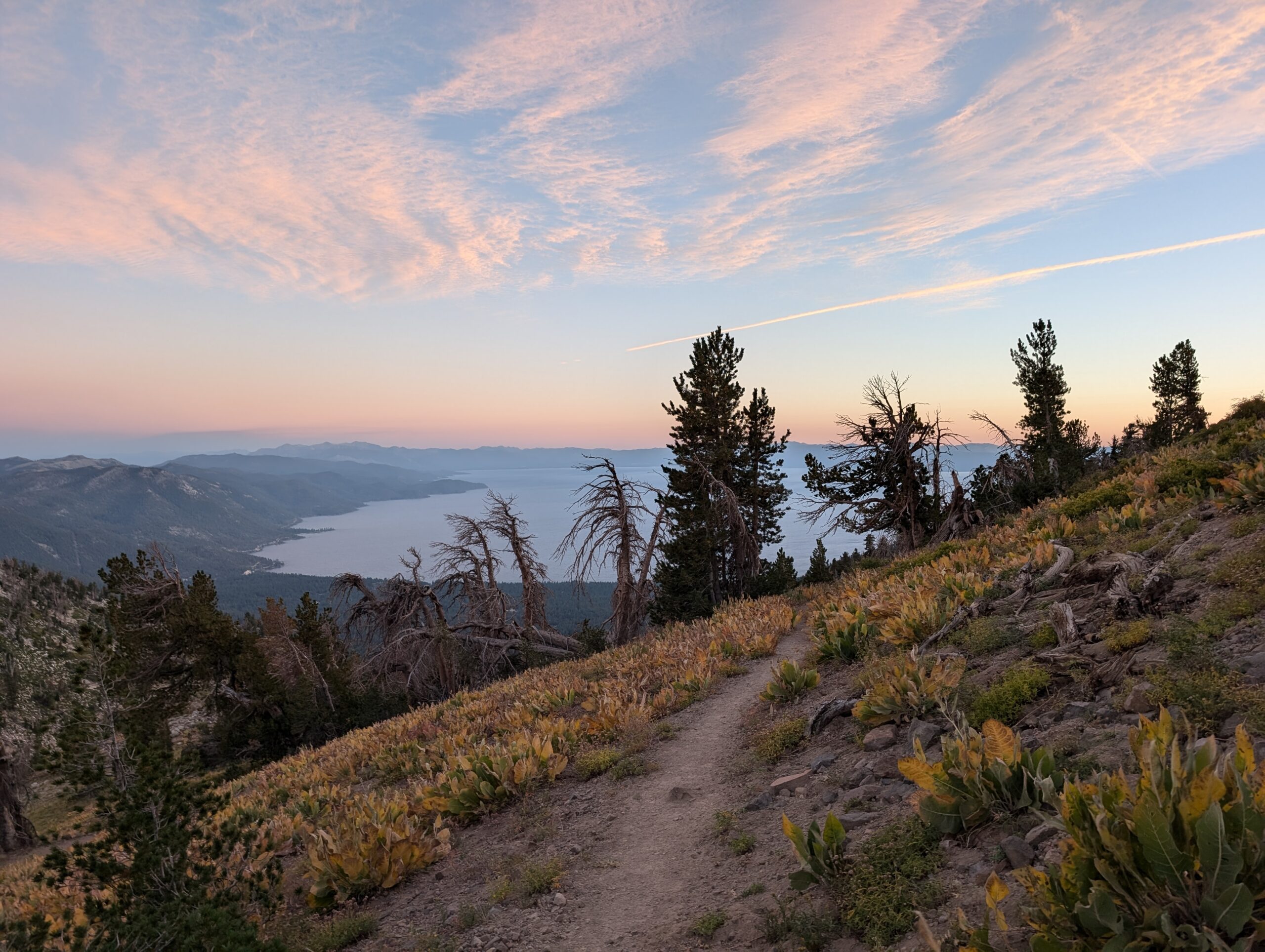
We finally reached the summit and bagged Relay Peak, standing at 10,338′. It was all downhill from here. While switchbacks certainly make the uphills more manageable, they also tend to drag on. It felt like we had been slowly climbing for 21 straight miles at this point and I think we were all feeling a bit fatigued as we began the descent. Fortunately, we walked amidst another beautiful sunset. We missed the turnoff to a spring, which meant we needed to rely on water from our planned campsite at Mud Lake. Nobody was excited to see what the water from Mud Lake was like.
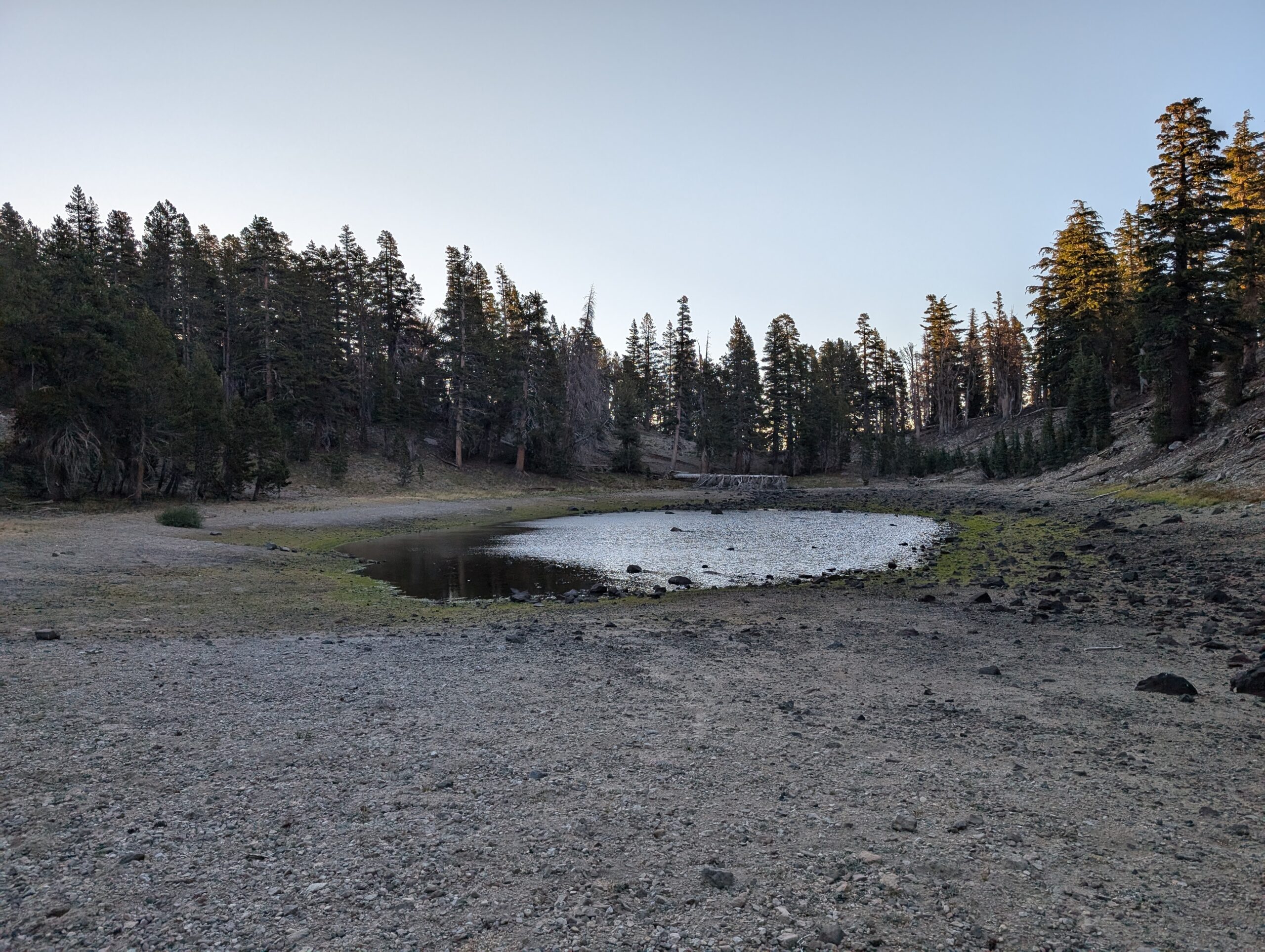
Mud Lake was off trail maybe 50 yards, down a steep hill with no spur. A large cluster of mint made an otherwise annoying scramble smell wonderfully. At the bottom, there was a large clearing between the trees where we made camp. Amy and I had a pretty lousy pitch on a slant, but that didn’t stop her from crawling into bed and conking out almost immediately. I stayed awake long enough to eat my rehydrated chicken and waffles for dinner and filter some water from the lake, which was surprisingly clear and littered with tiny tadpoles.
Day 3
Mud Lake to Dispersed Campsite
Distance: 26.1 miles
Elevation Gain: +3704′ -5525′
We realized in the morning that our stretch goal of reaching Tahoe City (some 32 miles away) by the end of Day 3 was unlikely to happen. Despite putting away 24 miles the previous day, we were still behind schedule to make it to the site of our Desolation Wilderness permit on 9/4. We knew we could make it, but we had to hustle.
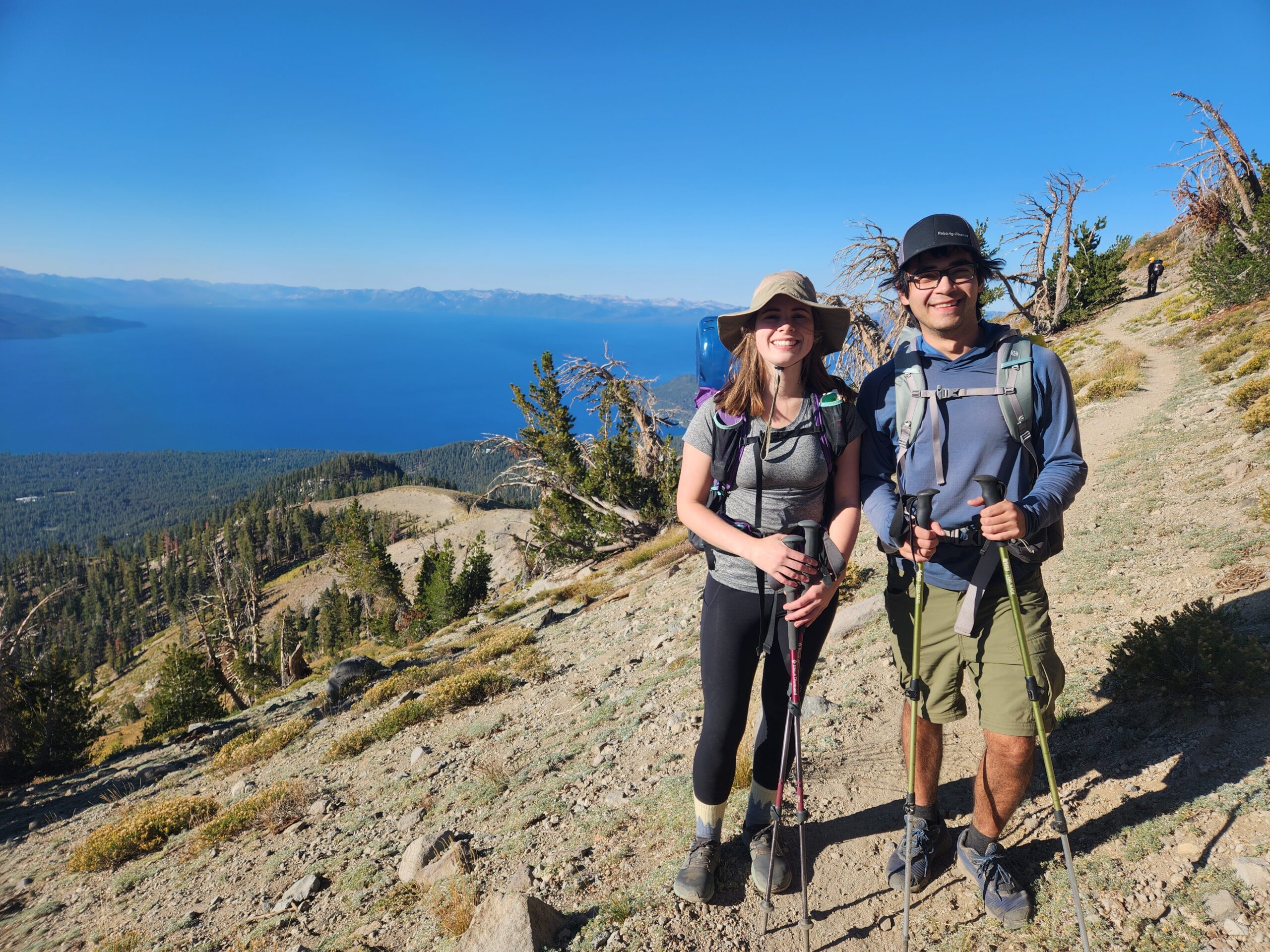
I got lousy sleep as a result of sliding off my pad, noisy wind blasting our tent, and waking up with cottonmouth from the dry, Nevada air. Once we rose and collapsed our tents, we formed a breakfast circle on our bear cans, eating Pop Tarts or Breakfast Essentials or Nature Valley bars. Then, we filtered enough Mud Lake water to top off all of our bottles, preparing for a full day of hiking without passing a stream. By 8:15am, we ripped off the band-aid and scrambled up the steep hill away from Mud Lake. It was a nice reminder that switchbacks are a good thing, even if they make climbing mountains take twice as long.
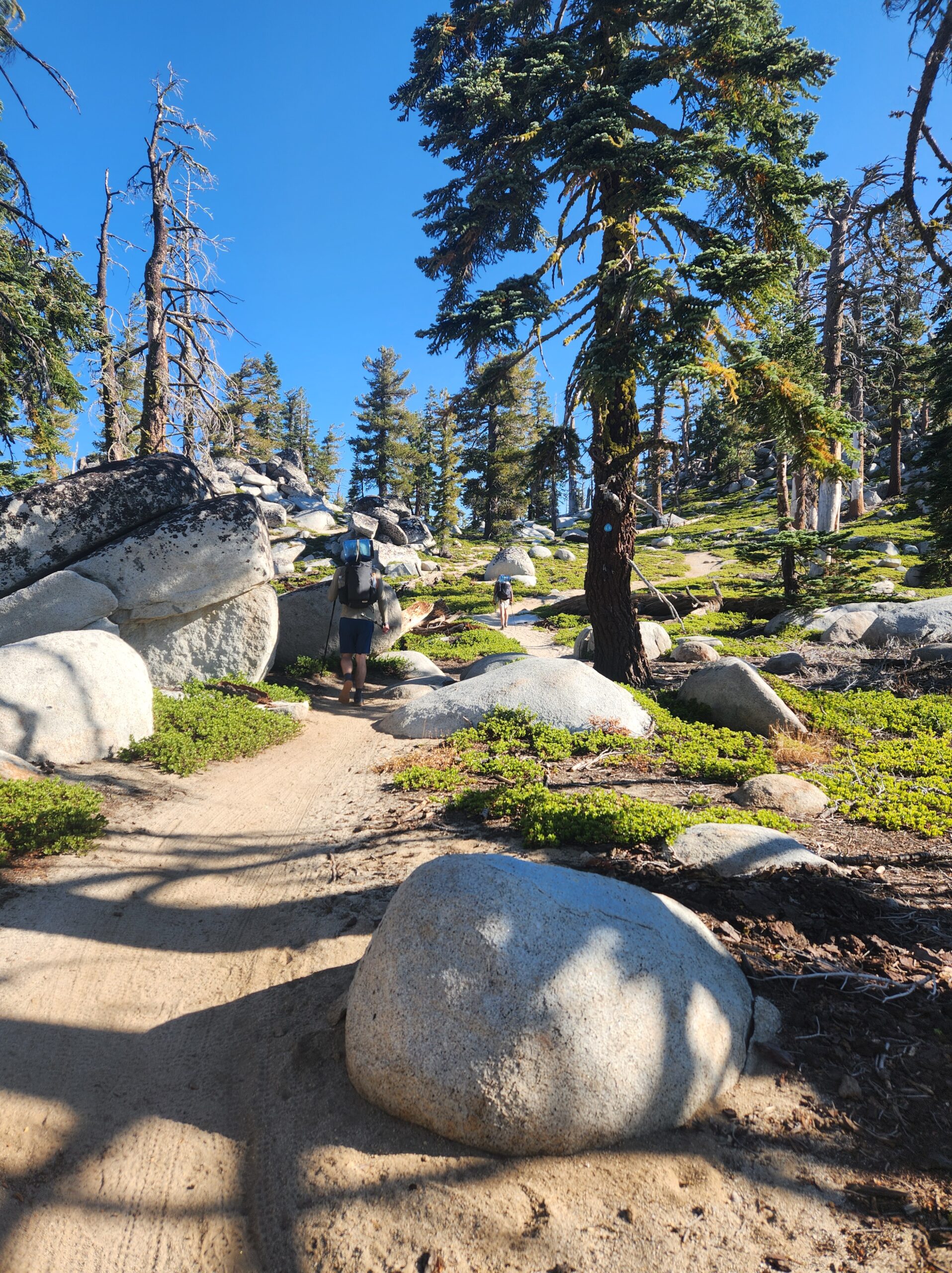
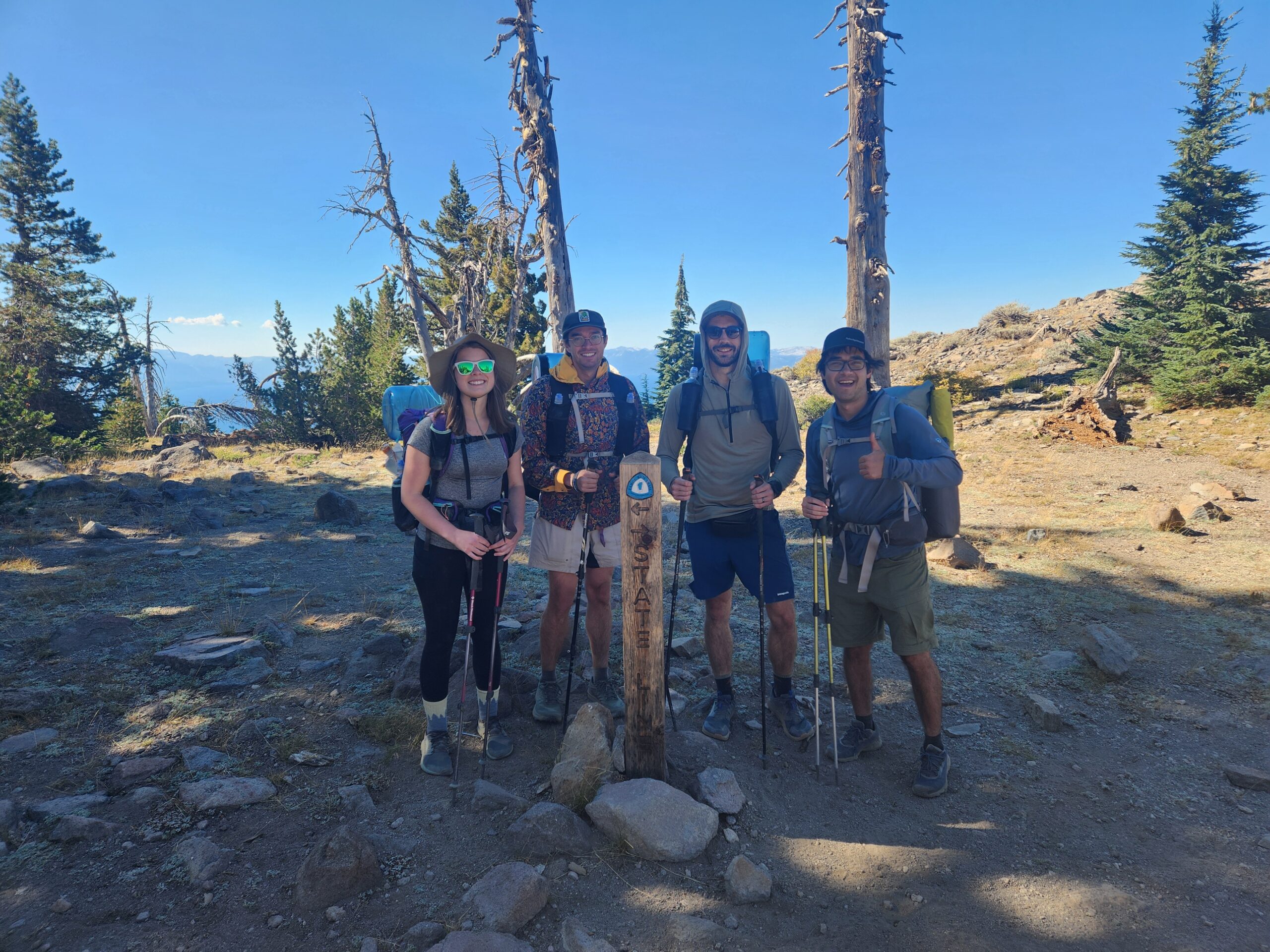
Once we were back on the TRT, we returned to exceptionally smooth and level-graded terrain. The morning hike was a phenomenal stretch through the Mt. Rose Wilderness, with too many epic views of Lake Tahoe to count. After a few miles, we crossed the state border into California. Prostitution was illegal again, but it otherwise felt the same. After another hour or so of walking, we entered back into a coniferous forest.
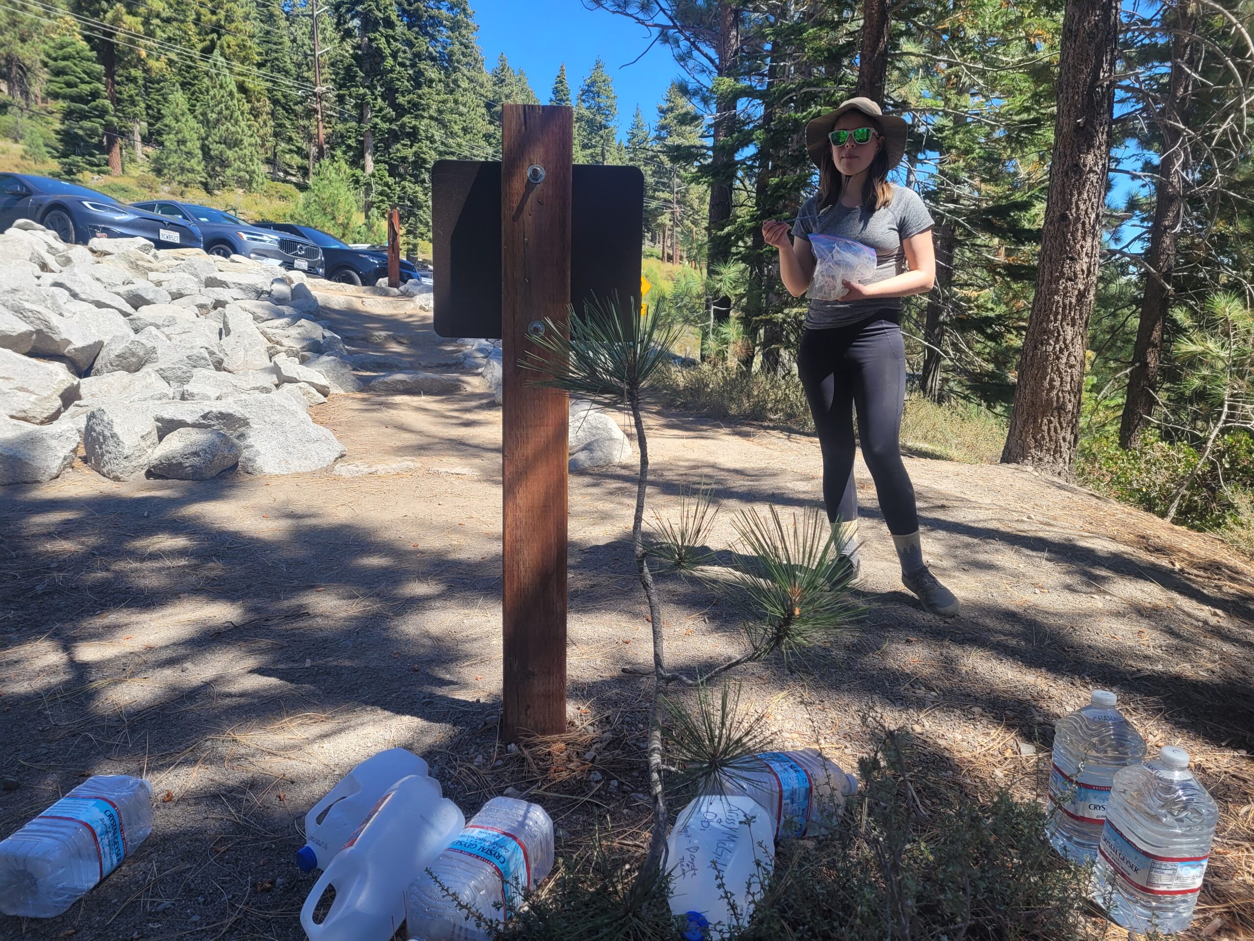
We punched out 10 downhill miles before lunch, aiming for Brockway Summit trailhead because FarOut comments indicated there might be a water cache. There was, and we shamelessly indulged in an extra swallow or two of water as we sat in the shade behind the parking lot. Amy cooked up some gravy for lunch and got chased by a bee. I ate a Greenbelly Meal2Go and the bee didn’t seem too interested.
After lunch was my music power hour, crushing five miles to Watson Lake. The lake invited me to dive in and wash my filthy socks while Tim and Season Pass went for a swim. We all discussed our options at this point, and decided that our goal would be to make it as close to Tahoe City as possible tonight. We cameled up then got back to the ol’ grind.
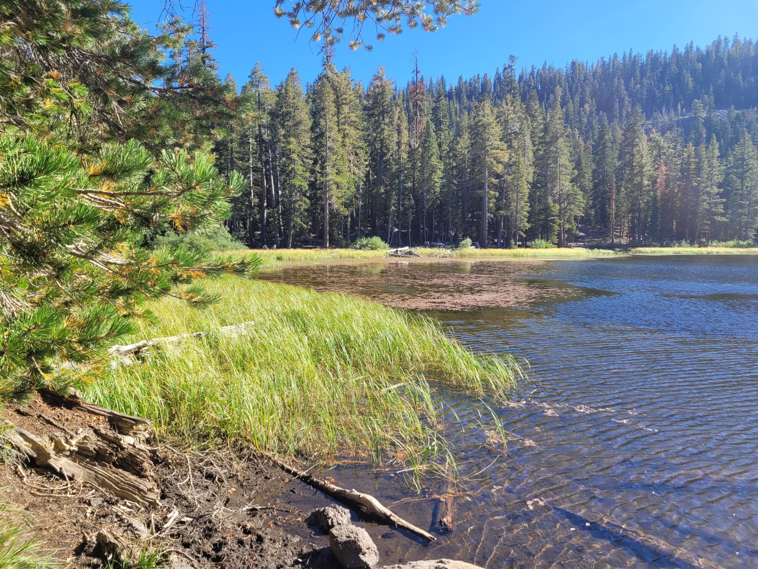
Traversing rolling hills, we found more spectacular views of Lake Tahoe. A few miles later, we decided to stop for dinner at a particularly pretty overlook of a valley opposite the lake. This time, I cooked up the gravy. The same bee from earlier followed us 20 miles to kamikaze into my freezer bag and drown itself in my dinner. I dropped my spoon trying to fish it out. After all of this, I lost my appetite and was not a happy camper for some time, but I shook it off with even more hiking.
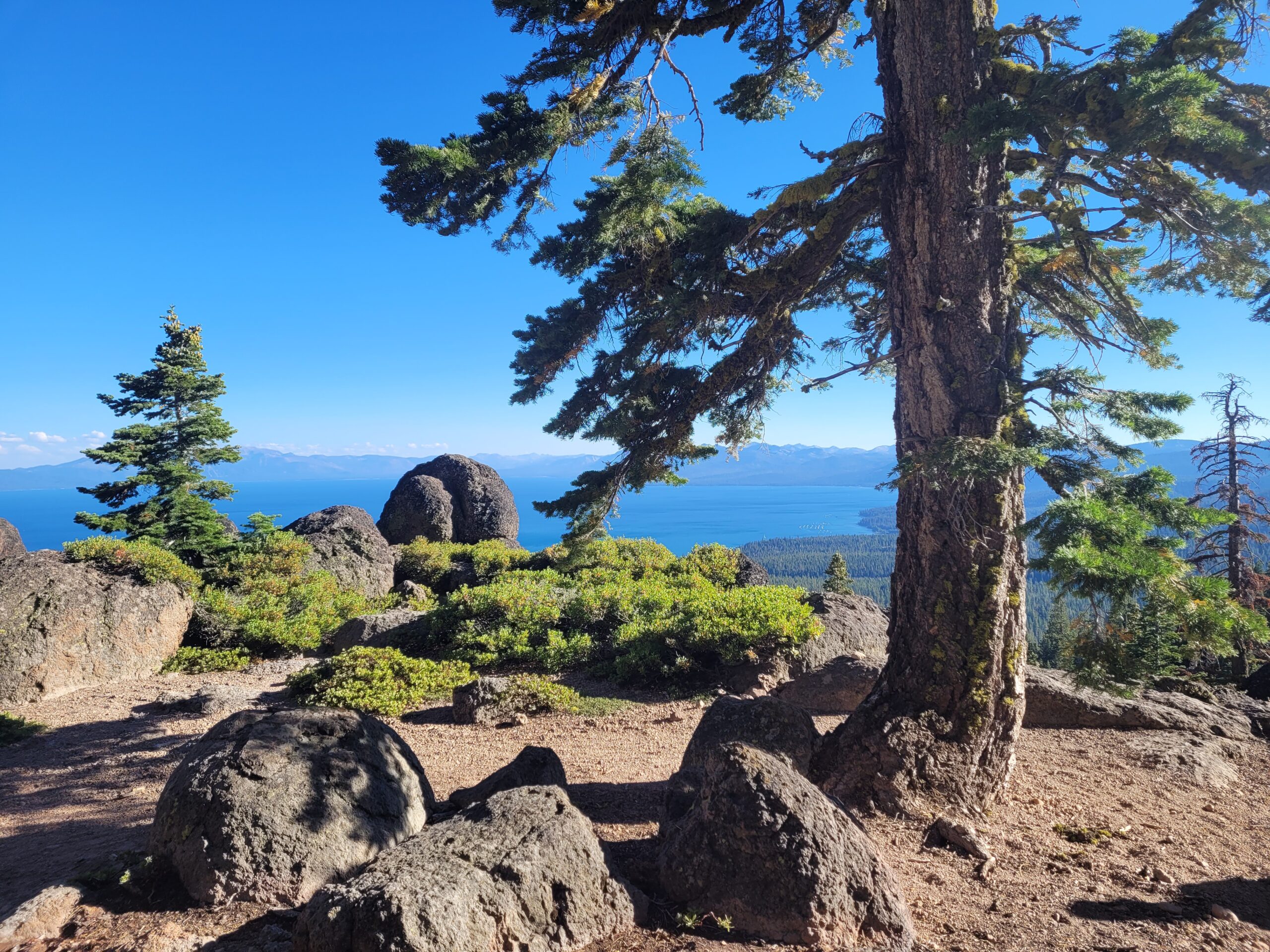
We passed up an amazing campsite on an overlook so we could squeeze out a few more miles as the sun was setting. We continued night hiking until 8:30pm, when we hit 26 miles on the day, then found a solid campsite at an unmarked trail junction. Amy and I made sure we pitched our tent properly tonight, and she was first asleep again. I sat out a bit later that night to gaze at the Milky Way.
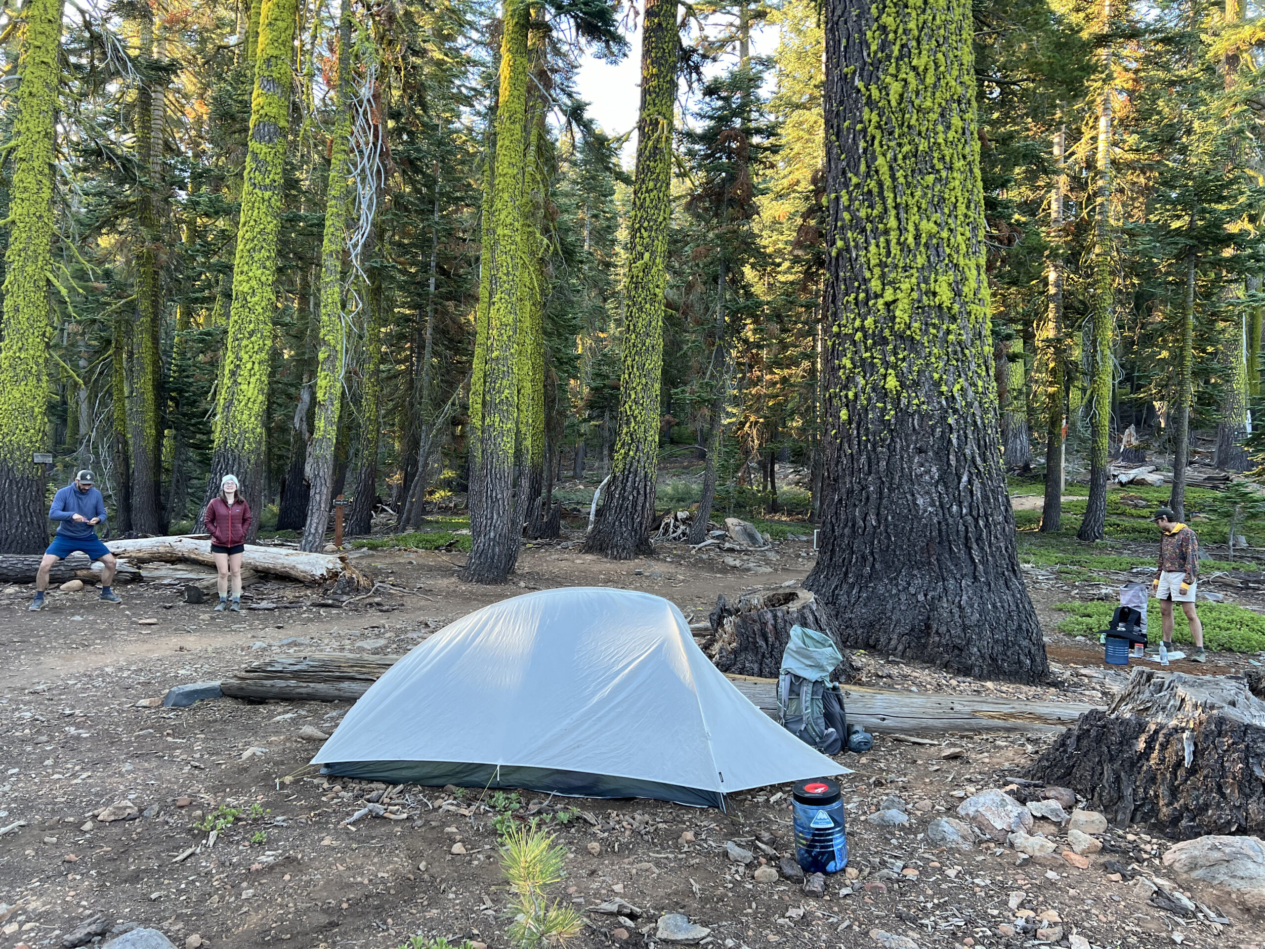
Day 4
Dispersed Campsite to Blackwood Creek
Distance: 20.4 miles
Elevation Gain: +3477′ -2916′
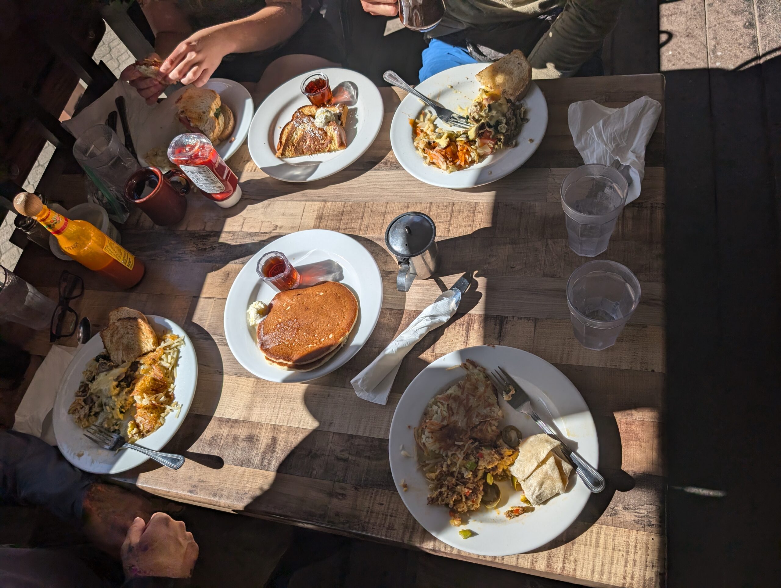
We set our alarms for 7:00am and fully deconstructed our campsite thirty minutes later. Once someone in the group mentioned that we could eat pancakes for breakfast if we made it to Tahoe City, the four of us were extremely motivated. We hiked six miles in under two hours and popped out of the woods on a road at the Tahoe City trailhead. Further down, we crossed an intersection onto Highway 89 that led to a variety of shops and restaurants. Our plan in Tahoe City was to eat town food, resupply, eat town food again, then hike out fifteen miles. We determined that our goal was to leave by 1:00pm, but our panic time was not until 2:00pm.
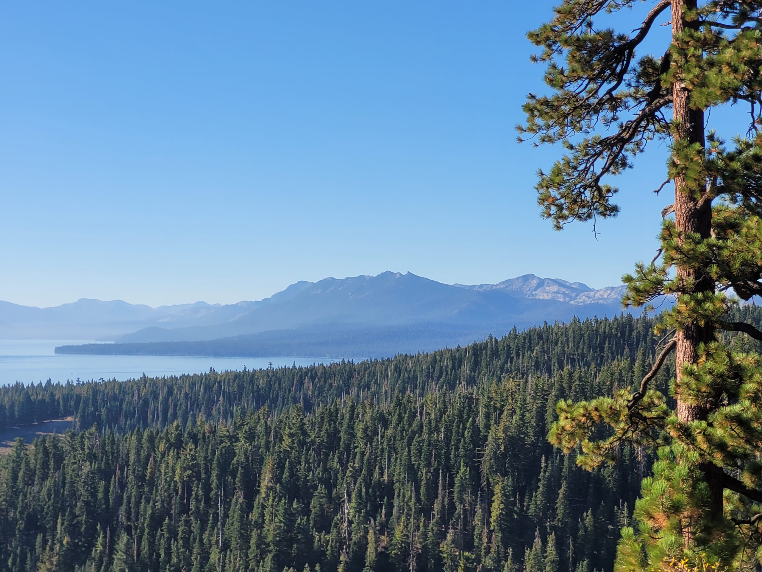
We ate breakfast on the patio of Rosie’s Cafe. I enjoyed a scrambler with a side of french toast and a hot coffee. After breakfast, we walked another half mile or so down the road to Safeway. Amy and I both still suck at resupplying, but the two of us managed to scrounge together enough bars, cheese, salami, couscous, and ramen noodles to hopefully prevent starvation. The grocery store didn’t have any dehydrated meals, but we found a good selection nearby at Alpenglow Sports. Then, it was time for second lunch and a beer at Tahoe Tap Haus. I slammed a jalapeño-loaded spice burger and a drink that went straight to my head.
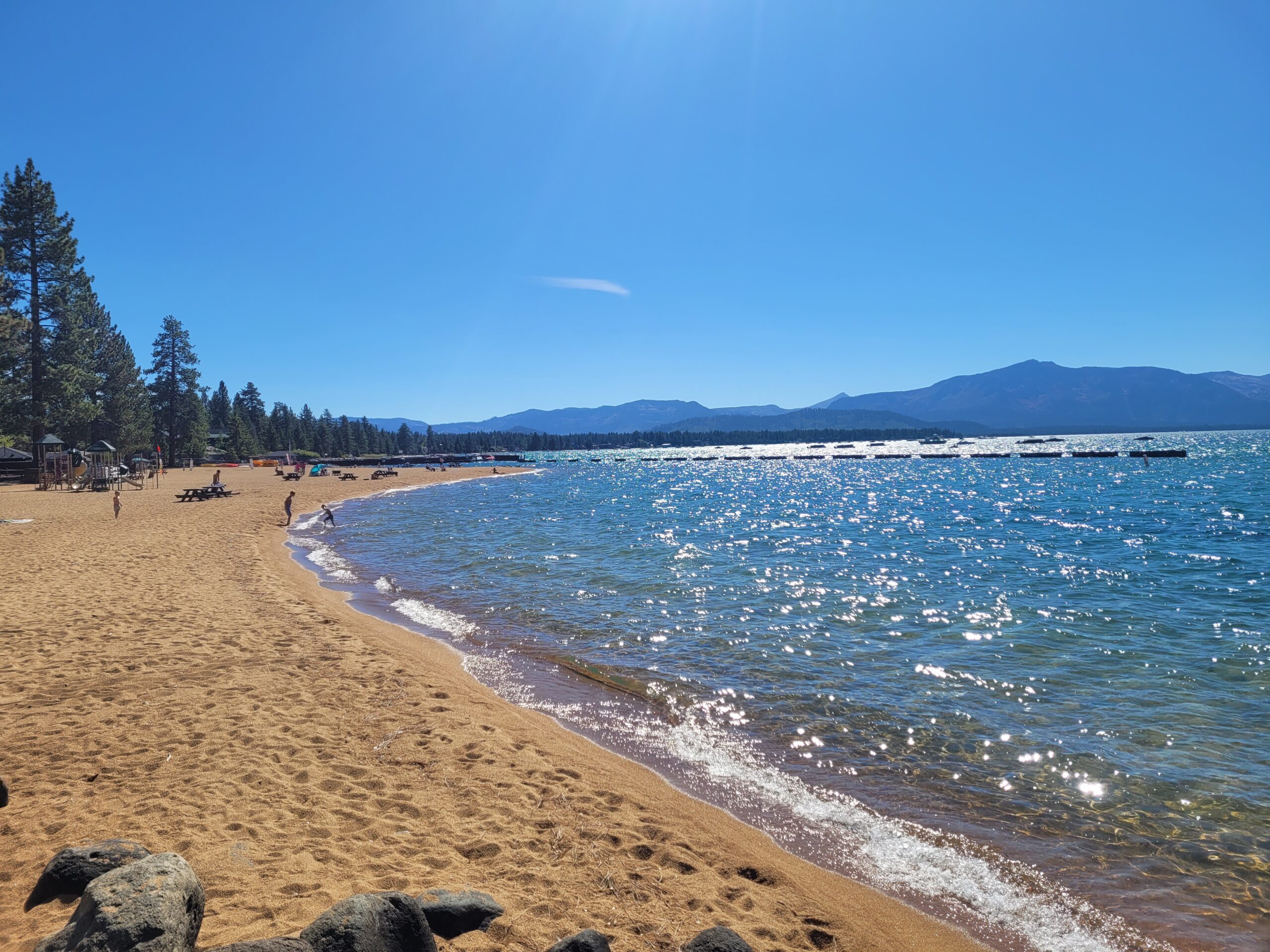
It was nearly 1:00pm when Amy made the irresponsible suggestion to go swimming at the Commons Beach, which was directly across the street. It was nice to finally have the opportunity to touch the water that we had been staring at for so long. In fact, Tahoe City is the closest the TRT actually gets to Lake Tahoe at any point. We bagged the lake by dunking our heads in the cold water, then dried off on the beach as the day wore on.
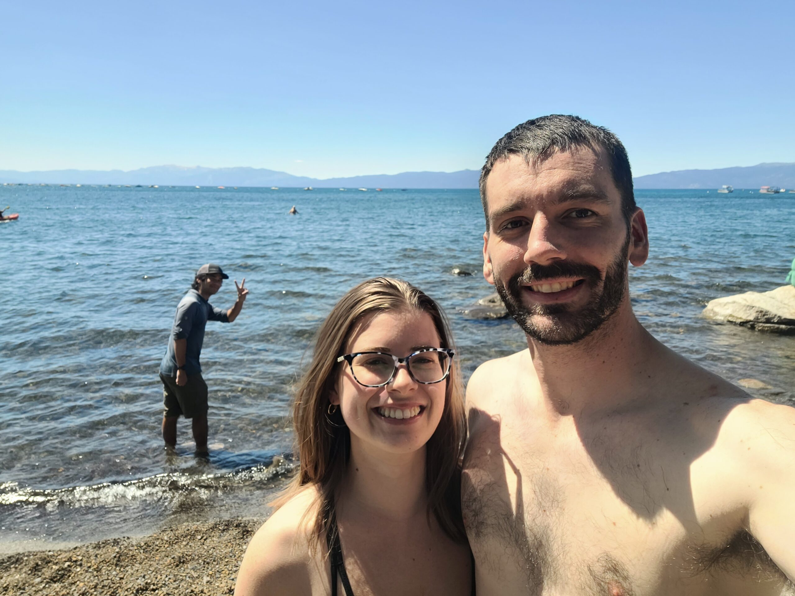
Amy and Alex (feat. Season Pass) at the Commons Beach, Tahoe City, CA
Narrowly avoiding a state sheer panic, we made it back to the TRT two minutes before 2:00pm. The trail briefly followed a bike bath along the Truckee River where we spotted some tubers floating downstream. We easily knocked out the following five miles past Page Meadows and through some rather uneventful forest. On deck, we had a steady climb of five miles towards Twin Peaks. Like most climbs thus far, it was mostly hype, but we saw some epic angles of the dueling mountain along the way. We pulled over halfway up the pass to filter water at a stream and Tim left his bear can behind when he started hiking again. As tempting as it was to wait until he reached the top to let him know, we chose to flag him down early.
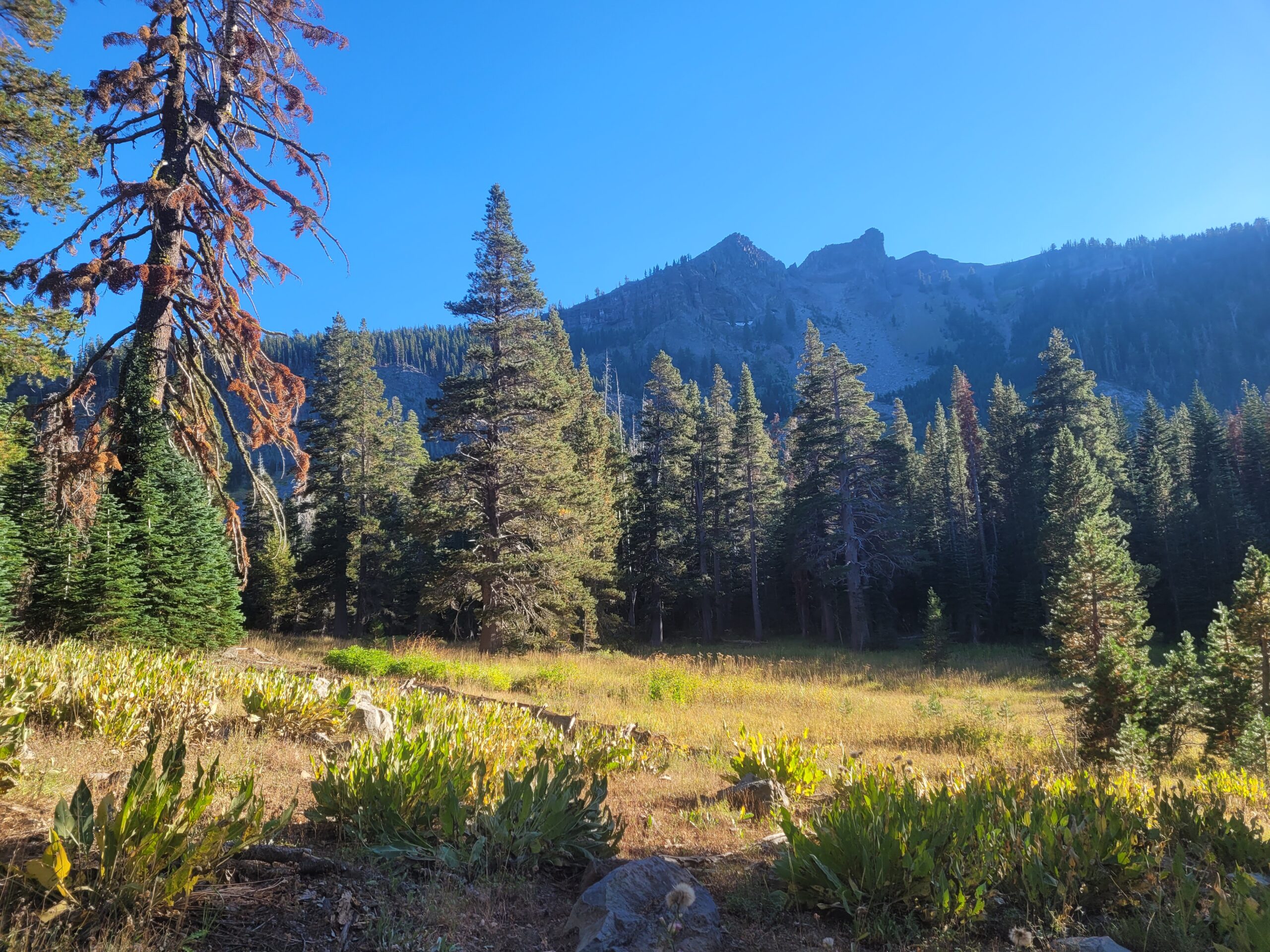
When Amy and I eventually reached the top, Season Pass had already dropped his pack and begun the side quest to Twin Peaks. From where we sat, we could just barely make out his tiny silhouette standing on the closer of the two peaks. It was starting to get late and we still had a ways to go, so we kept on trucking while he played around on the rocks. A short while later, we reached the intersection where the TRT meets the PCT. For the next 49 miles south, we would be following the iconic Pacific Crest Trail that travels 2,650 miles from Mexico to Canada. Season Pass already thru-hiked the entire PCT in 2019, so he did not bother looking at anything.

The trail seemed to instantly up the ante as soon as we joined the PCT, making an incredible descent down the pass with views of Twin Peaks to the rear and Lake Tahoe’s northern McKinney Bay. The mountains in all directions were as prominent as advertised. I originally had interest in doing the TRT to gauge whether I should hike the PCT in the upcoming years. However, I realized this was basically just confirmation bias, like asking an iPhone user if you should switch from Android or going to church to determine if you should become a Christian.
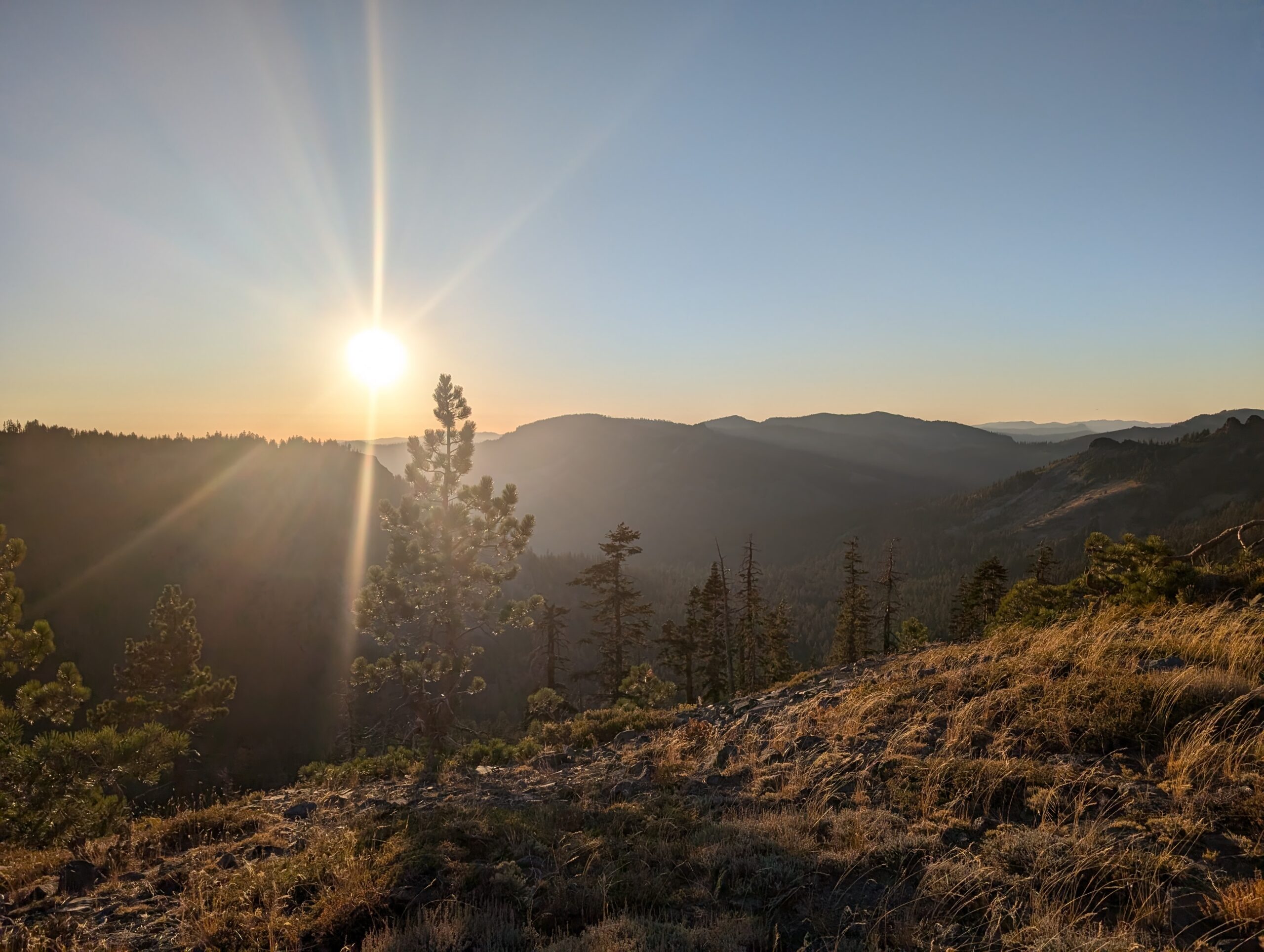
It was nearly too dark to see without headlamps by the time we made it to the next stream at the bottom of the mountain. Tim, Amy, and I stopped to filter and eat dinner while waiting for Season Pass to catch up. He showed up about twenty minutes later and confessed that he mistook another group of campers for us and made strange, “woop woop” noises to indicate his arrival to the terrified strangers.
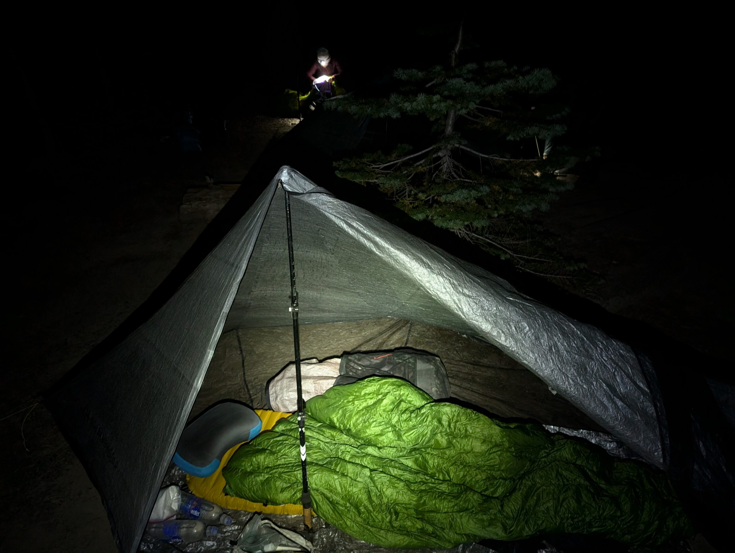
After all of us had fueled up from trail dinner, we continued hiking another mile or so before settling on a campsite near Blackwood Creek. It was another long day and I desperately needed a good nights sleep. My left knee felt strained, but I was hopeful my body would patch it overnight. Without saying much, everyone in our group secured their food in bear cans and went straight to bed.
Day 5
Blackwood Creek to Gilmore Lake
Distance: 24.2 miles
Elevation Gain: +4127′ -3760′
When you go to bed grumpy, you wake up grumpy. My knee hurt like hell today and I stubbornly refused ibuprofen for the first mile. It was bad enough that I considered bailing at the next trailhead. Remarkably, a single dose of the most generic OTC painkiller you can buy completely revitalized me. The only intimidating part was that we needed to cover a whopping 24 miles today to reach Gilmore Lake. However, I was feeling pretty good after a privy stop at the Barker Pass trailhead and continued on into the Desolation Wilderness.

Before the hike, Tim posted some questions on reddit regarding the permit situation, and received a message from a guy named Chef who was planning on hiking the TRT on similar dates as us. Coincidentally, we ran into Chef and his buddy, Mr. Poopy, filtering from a creek (don’t let Mr. Poopy’s name fool you, he is a Marine pilot). After introducing ourselves, we hiked ahead to Richardson Lake for lunch. Shortly afterwards, the duo caught up to us and we all chilled together by the lake. Season Pass and Amy dove right into the murky water, while Tim, Chef, Mr. Poopy and I chatted on a log.
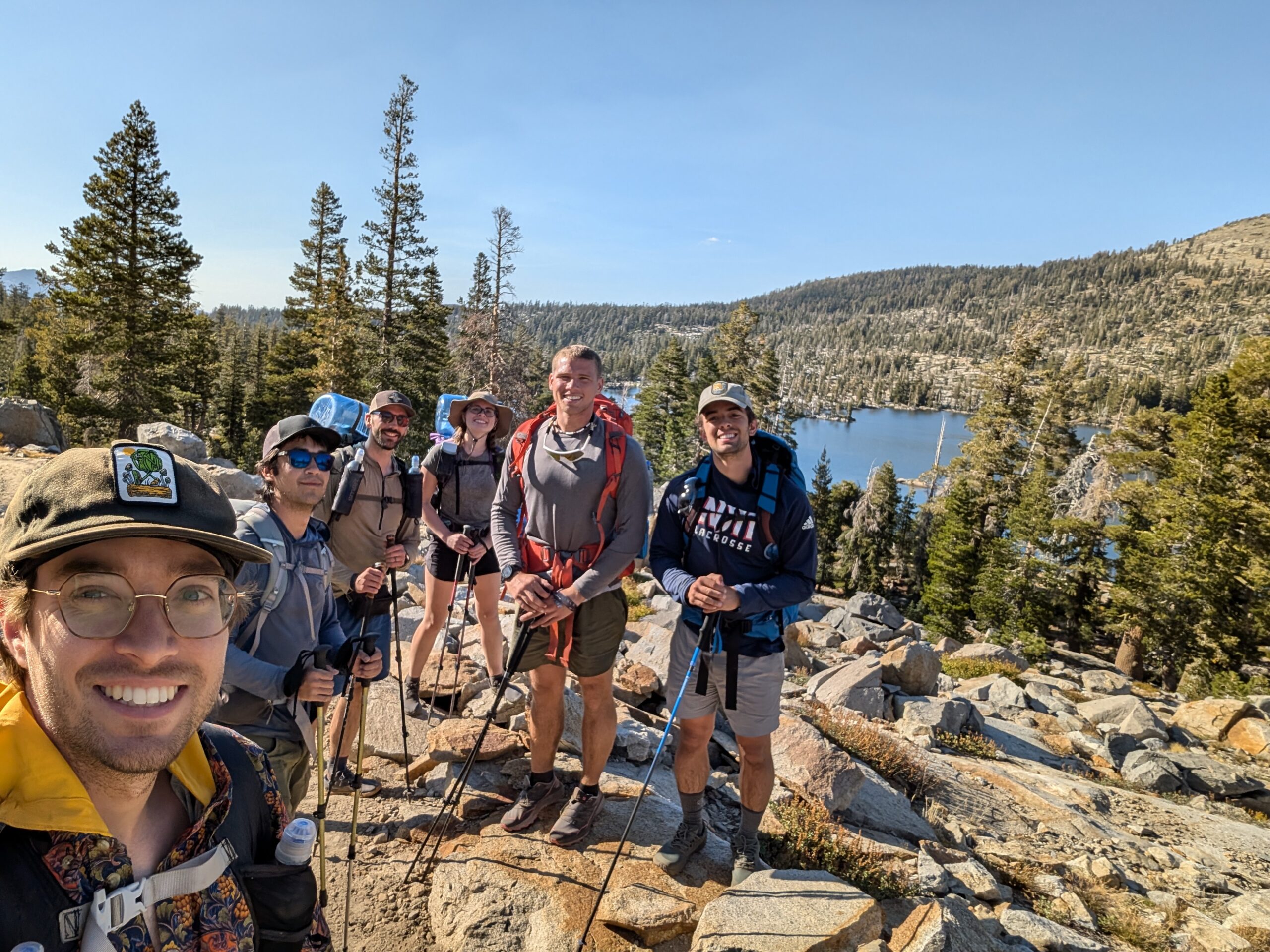
We absolutely crushed the next eight miles of trail, cooking 20 minute miles and not taking a single break between Richardson Lake and Middle Velma Lake. The six of us continued a lively conversation while ducks crash landed into the lake and the first cloud of the entire trip briefly obscured the sun. Chef was very outgoing and shared all kinds of interesting stories, including his passion for 3D printing. Mr. Poopy proposed a riddle (or joke) that lived rent free in our heads for the next several days:
Two penguins are canoeing through the desert. One penguin looks to the other and says, “where’s your paddle.” The other replies, “sure does.”
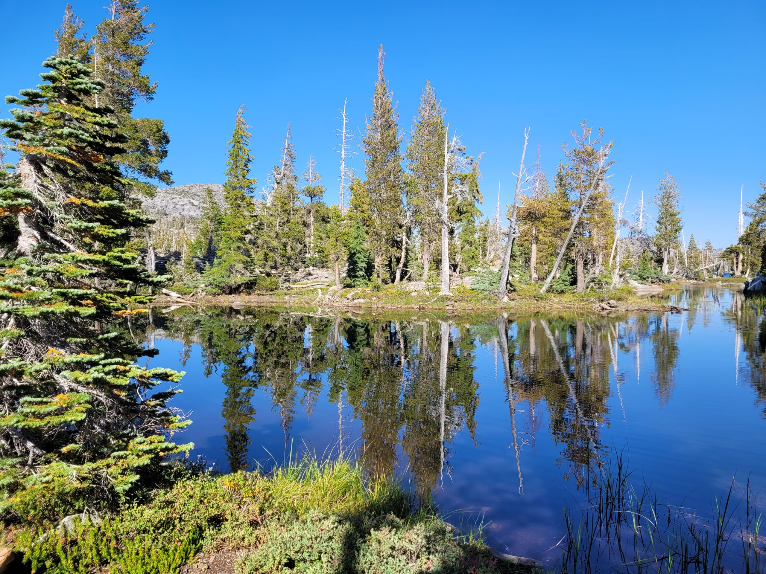
The Desolation Wilderness became much more interesting once we began stumbling upon all of the alpine lakes. A few miles down the trail, we reached Fontanillis Lake, one of the best lakes for cliff jumping I’ve ever come across. The water was crystal clear and there were several small islands scattered throughout, including one only about twenty yards from shore. We still had an honest climb of five miles over Dicks Pass to complete, but the opportunity was too good to pass up. The whole squad dove in and conquered the island together. It was one of those wholesome, unforgettable moments with strangers that only seems to happens while backpacking.
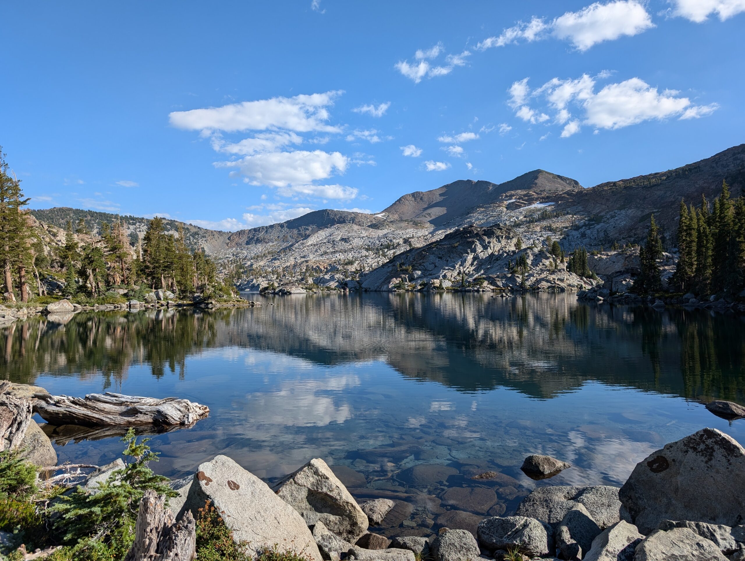
Our swim was cut short because we were on a mission. Gilmore Lake was still waiting and the day was coming to a close. We bid Chef and Mr. Poopy farewell. They stuck around to find a campsite, while the four of us trekked deeper into the Desolation Wilderness, chasing the sunset. An hour later, we found ourselves on top of the world at Dicks Pass.
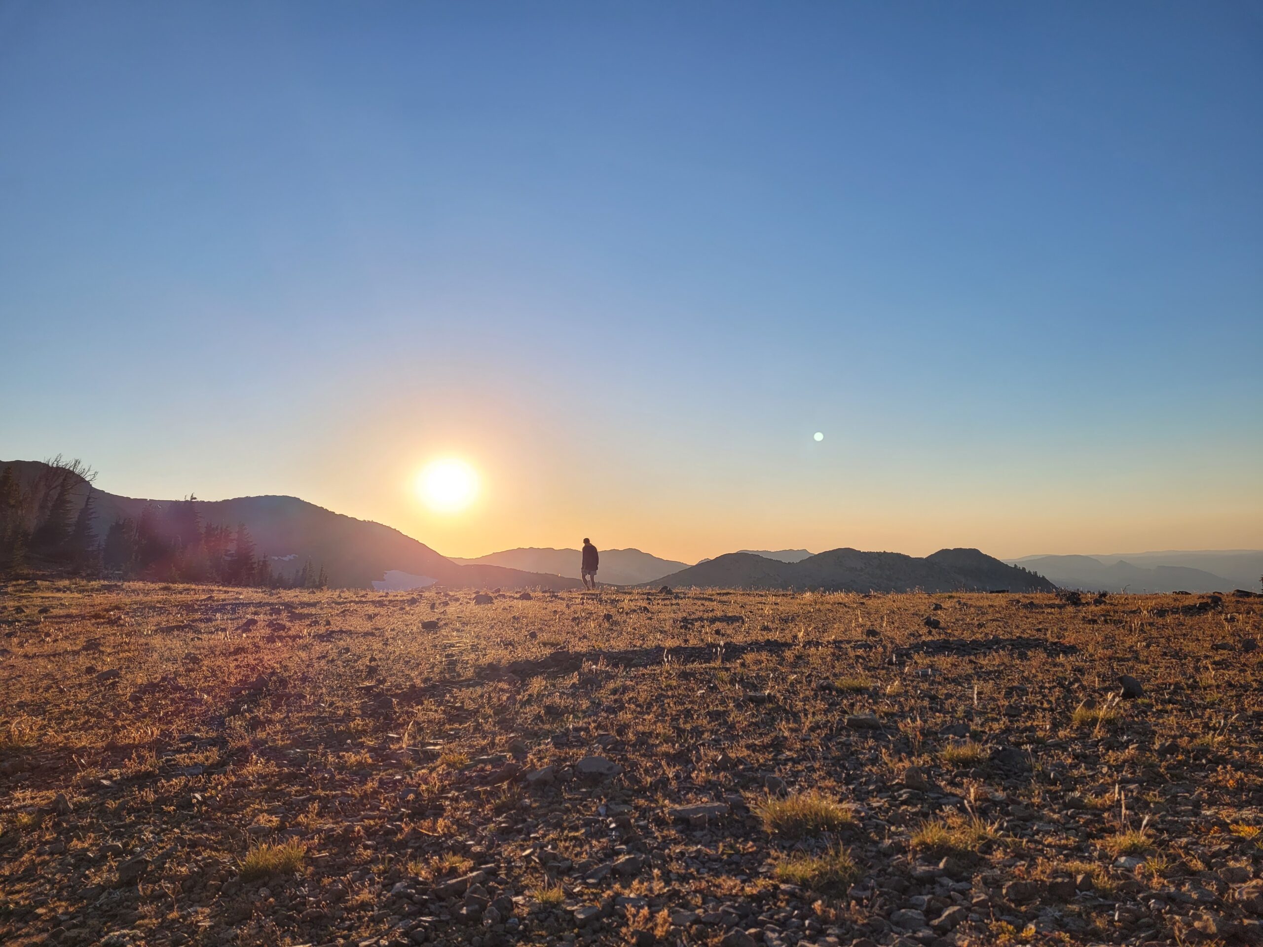
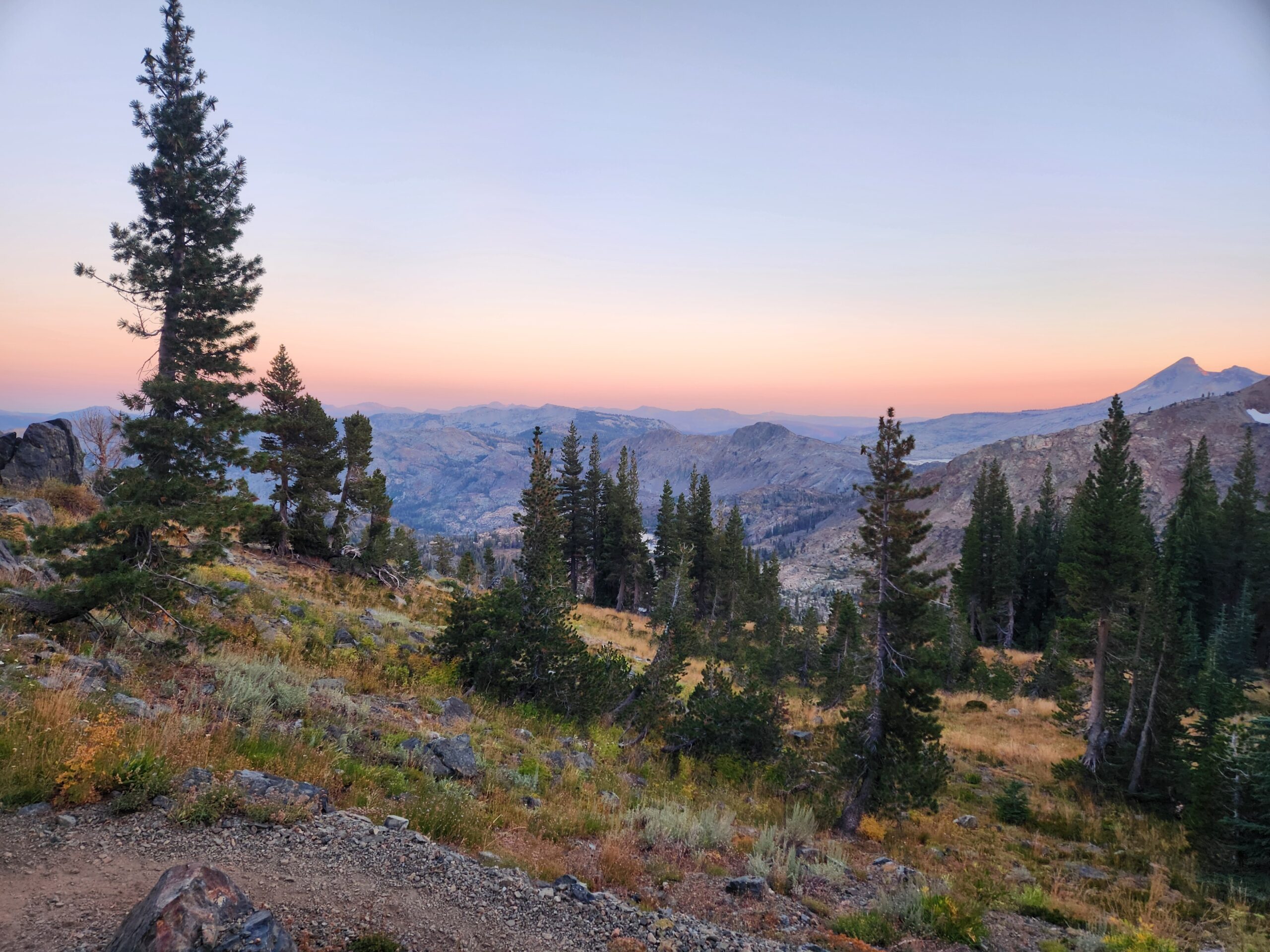
The following descent during golden hour was some of the most incredible scenery I’ve had the pleasure of hiking through. The smooth trail was lost in endless rocks, but I was stopping every few minutes to take photos, so it didn’t matter too much to me.
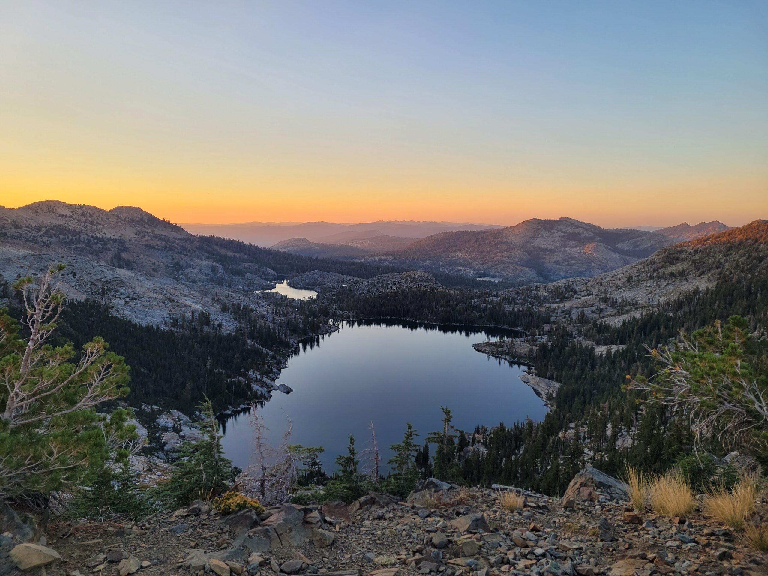
Unidentified lake on the descent of Dicks Pass
At long last, we reached Gilmore Lake about an hour after nightfall. Our collective exhaustion was overshadowed by the sense of accomplishment of reaching this point, hiking over 100 miles from Spooner Summit in just four and a half days. Champagne was in order, but the best we could do was Liquid IV. I did treat myself to a Backpacker’s Pantry lasagna (definitely one of the better flavors) and we all hung out for a while under the brightest night sky we had seen yet. My day had done a full 180 and I went to bed grateful to be doing what I love with such great company.
Day 6
Gilmore Lake to Dispersed Campsite
Distance: 17.7 miles
Elevation Gain: +3176′ -2943′
When Amy and I went to bed, we had two full water bottles in our tent. Sometime around 2:00am, Amy woke with her mouth as dry as the Sahara and proceeded to chug all of the remaining water. When I inevitably woke up thirsty later in the night, there was nothing left. Fortunately, I had some dirty water leftover in my bag lying outside the tent. I sleep-filtered one bottle, drank some, then tried to go back to sleep. Amy woke up again, fiending like a fish, deleted what was left of the water, and went back to sleep. I woke up again… you get the idea. We clearly did not drink enough water during the day. The air was so dry that we could not possibly quench our insatiable thirst. It did not help that our noses were clogged from inhaling dust on trail and mouth-breathing only exasperated the dryness.
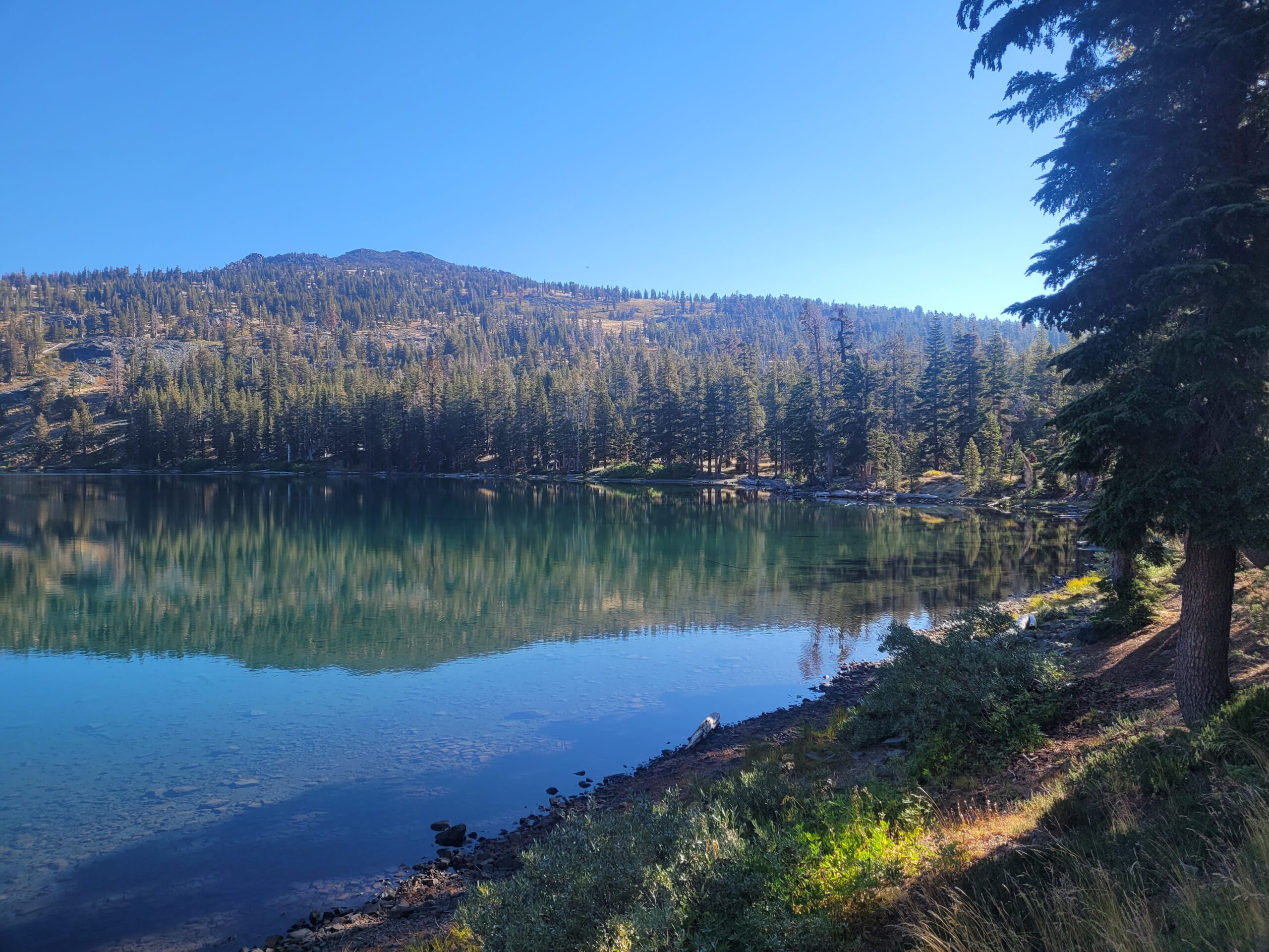
We slept in until the ripe hour of 9:00am. Now that we had no remaining permits to worry about, we could camp wherever we wanted to and hike until we felt like quitting. It was good timing too, as it was the hottest day yet with highs reaching into the 80s. Fortunately, we were passing several alpine lakes filled with the summer snow melt from the Sierras. Leaving Gilmore Lake, we first came across the scenic, Lake Susie. The trail navigated its many outlets and crossed a narrow causeway between the lake and a stagnant pond. I passed a woman hiking who greeted me, “aloha”, alluding to the upcoming Lake Aloha, which I found quite amusing. From then on, everyone I passed got an “aloha”. A word that means both “hello” and “goodbye” is actually very appropriate for passing someone while hiking.
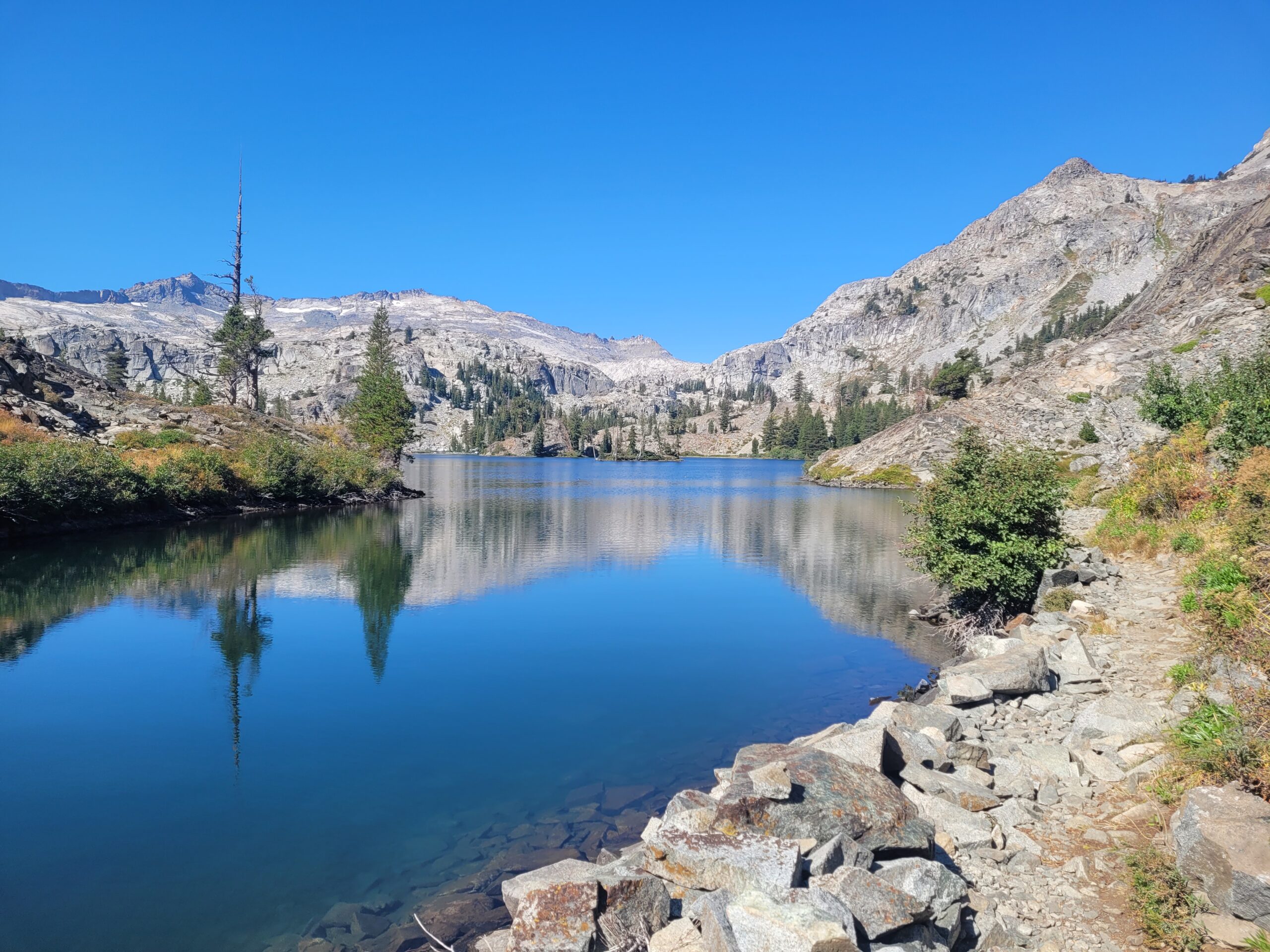
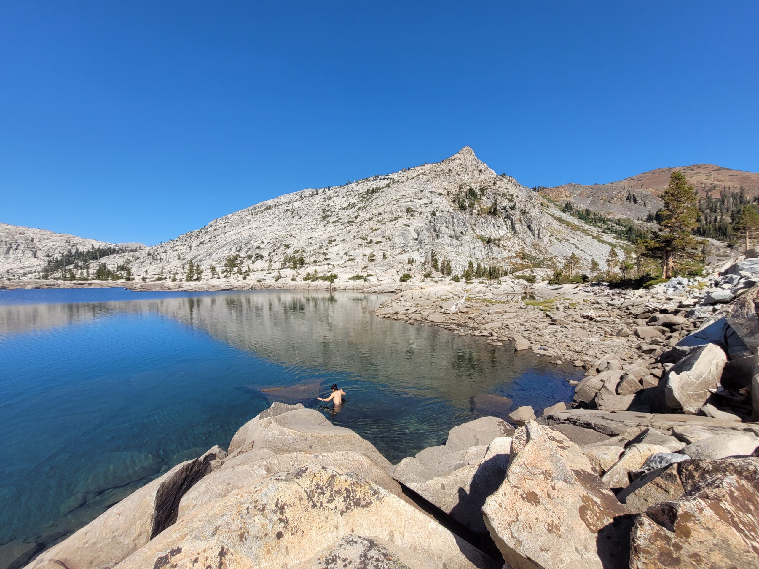
Lake Aloha was quite large and unique in that there were hardly any trees around it, just a sprawling body of sparkling water at the base of Mt. Price and Pyramid Peak. It was an amazing setting for a morning dip. We swam to a knee deep shelf of rocks and tried to skip rocks across the lake.
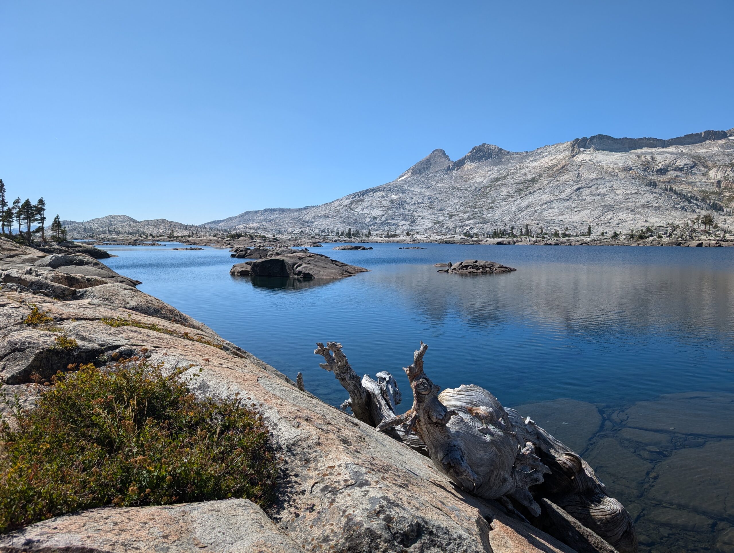
The next mile of hiking went along the lake before the trail descended towards Echo Lake. We were excited for Echo Lake for two reasons: there was supposedly a motorboat that could shuttle us across the lake and a chalet on the other side serving milkshakes. No one cared about being a purist for this one, aqua blazing sounded lovely on such a scorching day.
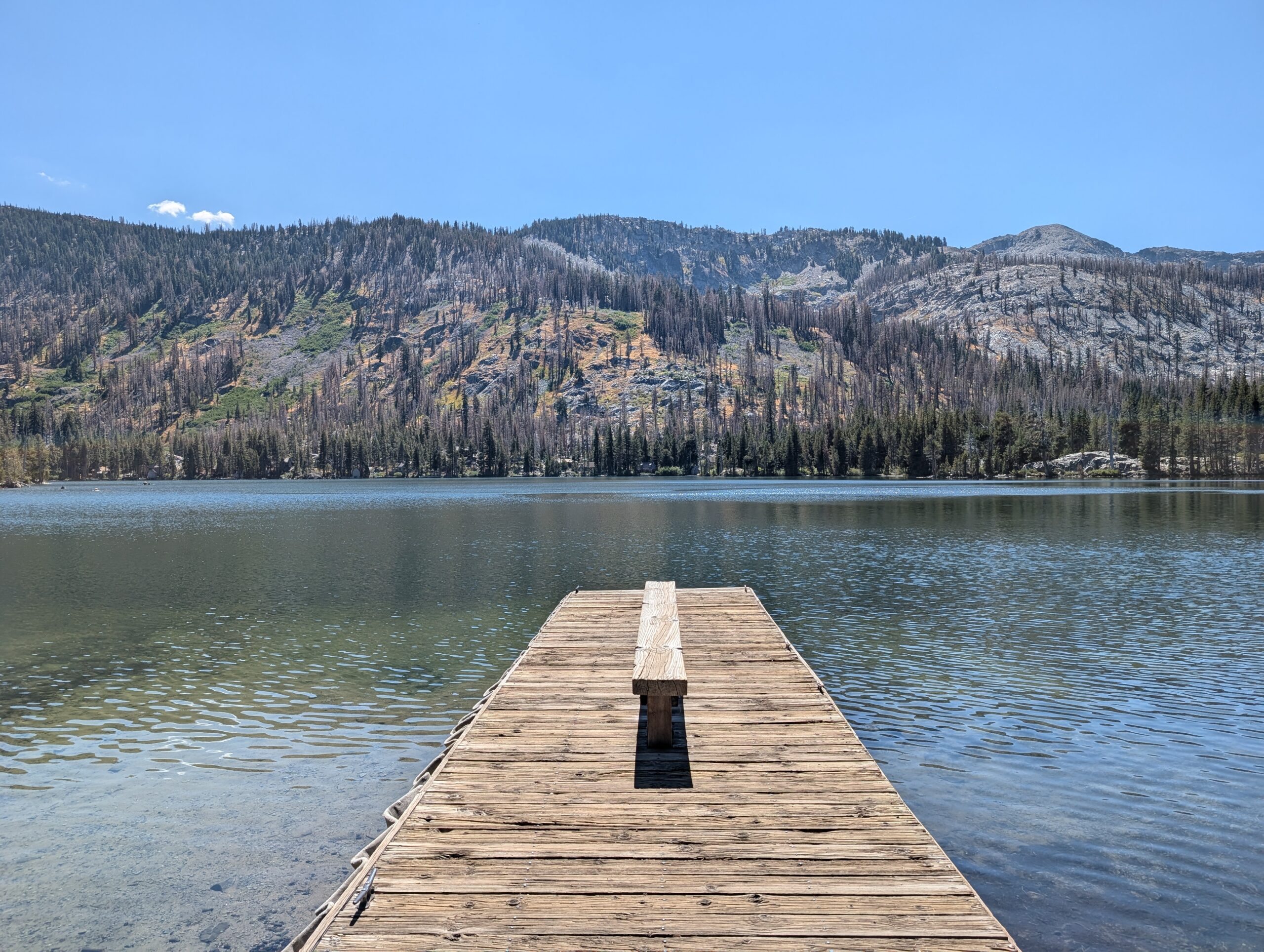
We eventually reached an intersection that led us downhill to the dock on the north side of Echo Lake. The boat was missing, but there was a wooden phone booth for hailing the water taxi. Season Pass called four times before a lady answered and told him that the shuttle closed for the season on Labor Day. We did not actually care since we were not dirty cheaters and had no intention of skipping the beautiful two and a half mile hike along the water. Nope, not us.
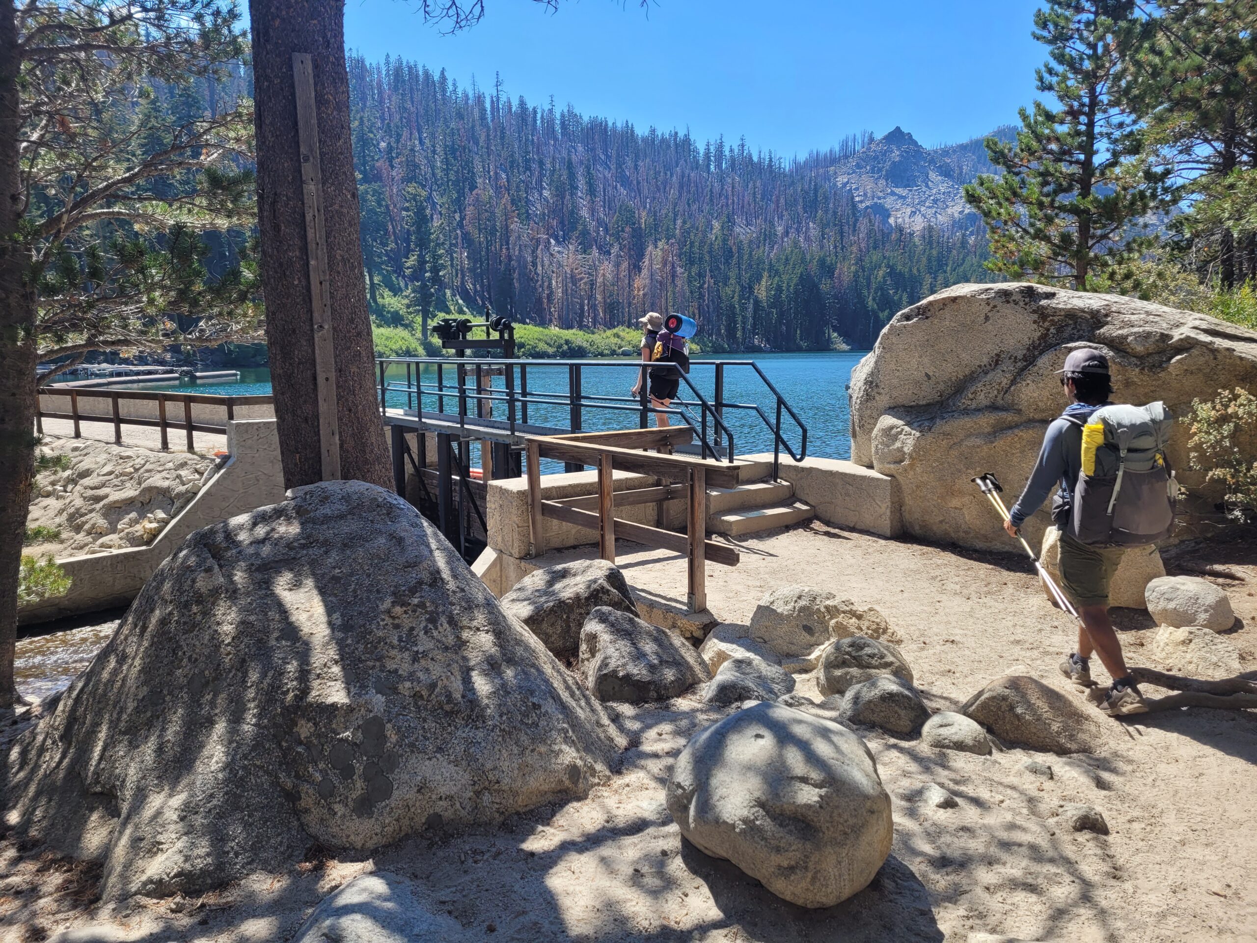
At the south end of the lake, we crossed a small dam and marina that was owned by the Echo Chalet. In the market, there was a good selection of merchandise, food, drinks, and resupply options. I filled up with two Gatorades, a burrito, a pint of Ben & Jerry’s ice cream, an Echo Lake IPA, and then the second half of Amy’s Ben & Jerry’s ice cream for dessert. There was basically nowhere to sit out of the sun, so we lined up along a brick wall by the road that was somewhat protected by bushes. We chatted with a number of other hikers attempting the TRT and fought off a pesky chipmunk that was drawn to our ice cream lids. Amy claims the suspect nipped her butt while she was sitting.
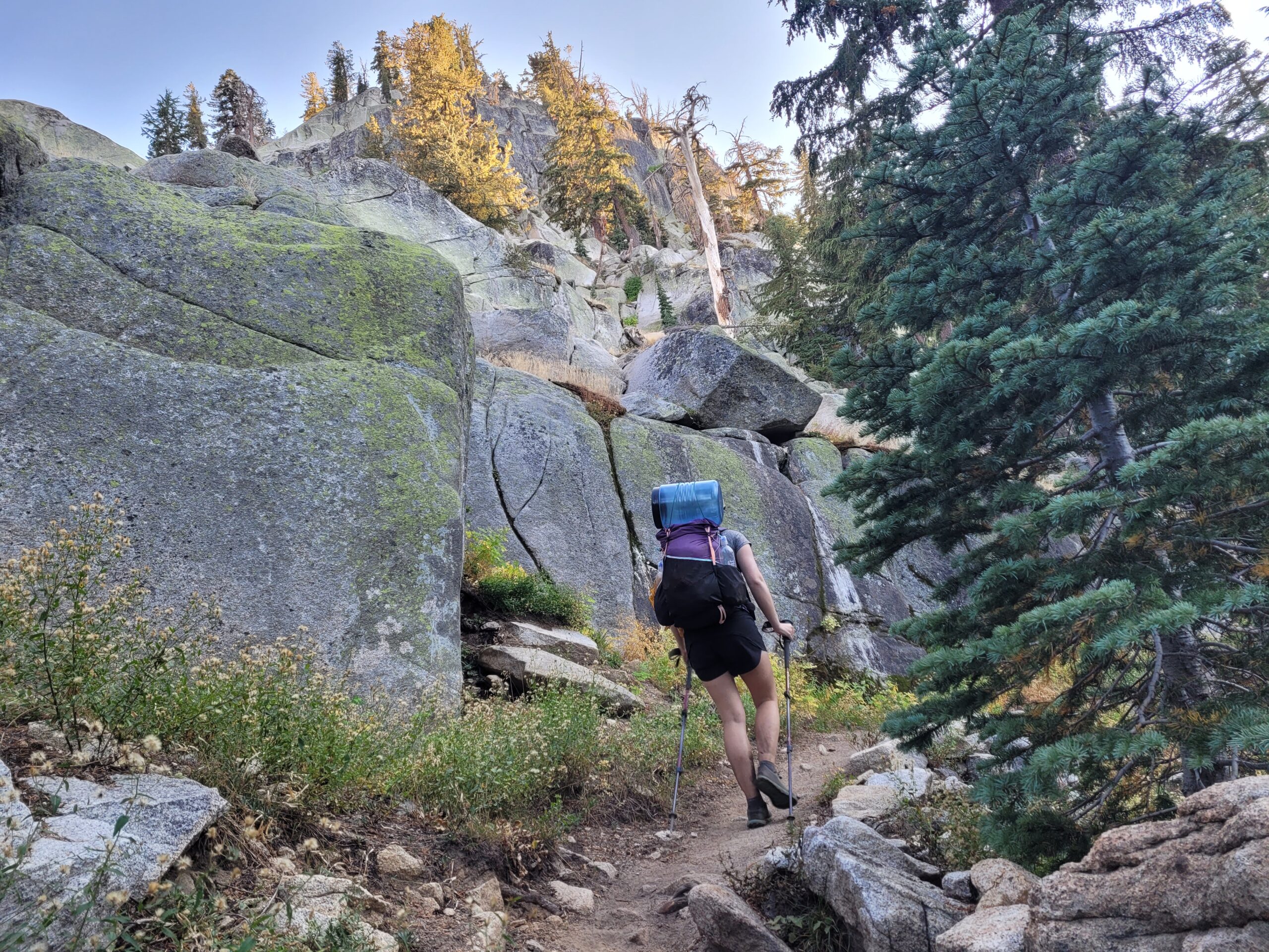
It was the heat of the day when we finally left the chalet. Amy was being cooked in her short sleeves and felt nauseous for the next mile or two, taking frequent breaks. Eventually, her stomach settled and we climbed our way through a recent burn area past Route 50. South of Echo Lake, the trail ventured to its farthest point away from Lake Tahoe (which we had not seen in two full days). A few miles later beyond the intersection with Sayles Canyon Trail, we wandered into the pines and made a dispersed campsite just off the trail.
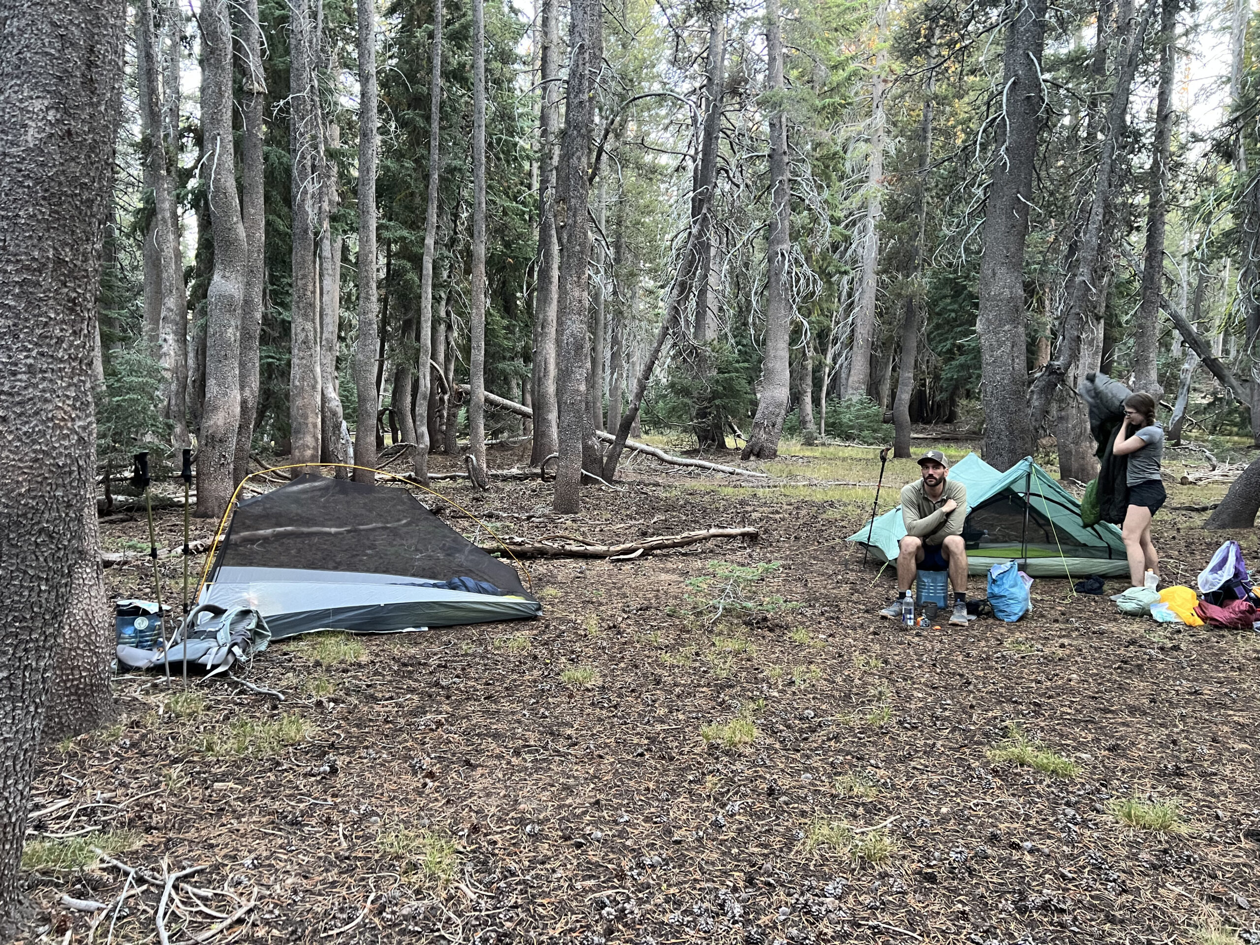
It was only 6:30pm when we stopped, a normal or even late hour for most backpackers, but felt like a short day considering what we had been doing. It was nice to cook dinner while the sun was still up. Tim filled his Packy Sack with small rocks and we played for a minute, then collectively agreed that our hips were in no shape to be making abrupt swinging motions. Instead, we sat our butts on our bear cans, shooting the shit until well after dark.
Day 7
Dispersed Campsite to Armstrong Pass
Distance: 21.4 miles
Elevation Gain: +3796′ -3712′
This trip was an experiment in how my solar powered Garmin Instinct 2X would perform with the unrelenting West coast sun recharging the battery as I hiked. At its peak, my watch gathered nearly 200k lux hours in a single day. Had I not been GPS recording for over twelve hours daily, the battery on my watch would certainly last indefinitely. Since I was, I had to charge it twice during the week. Today, I started recording the route a quarter mile late due to playing around with battery saver mode.
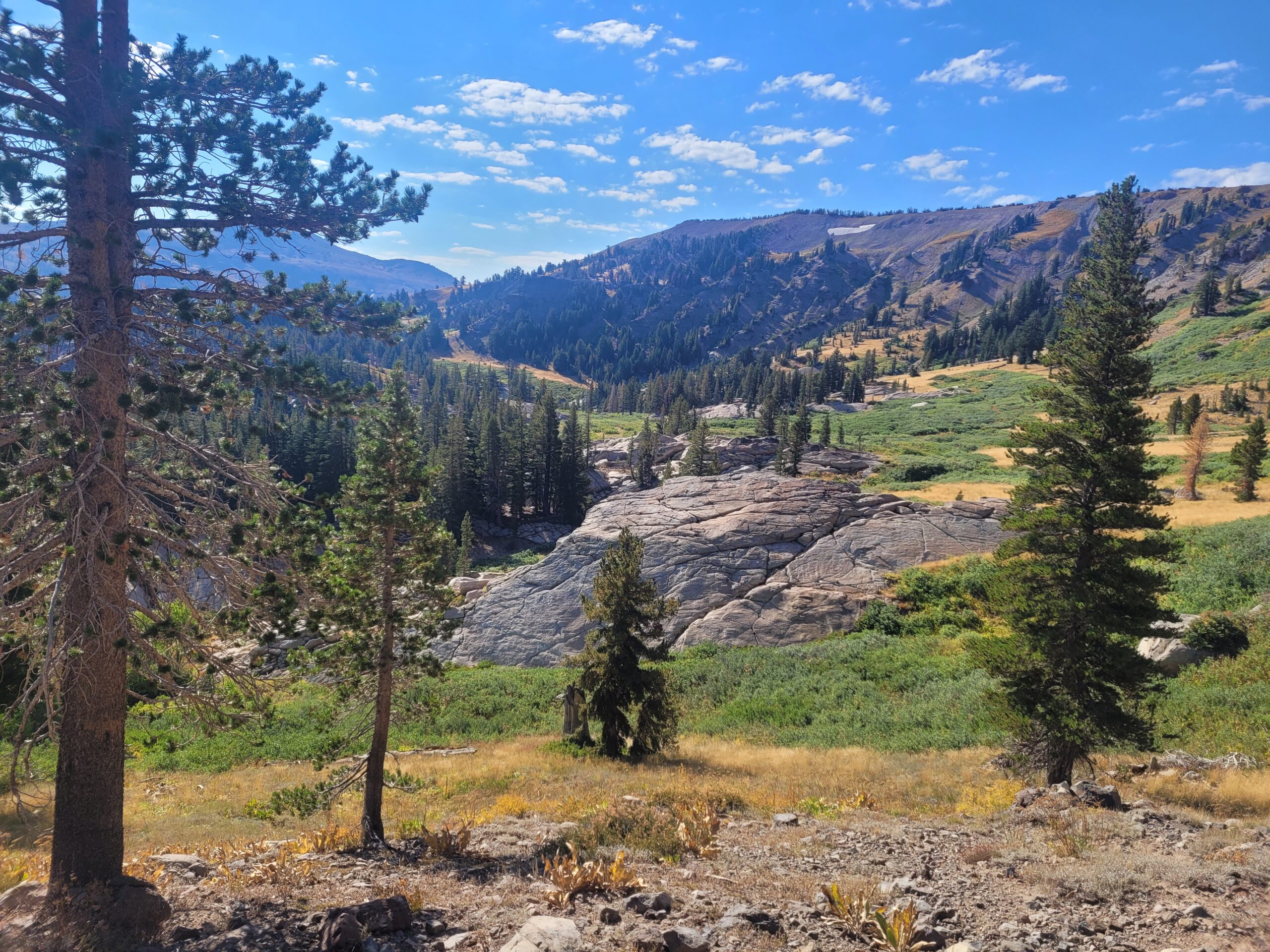
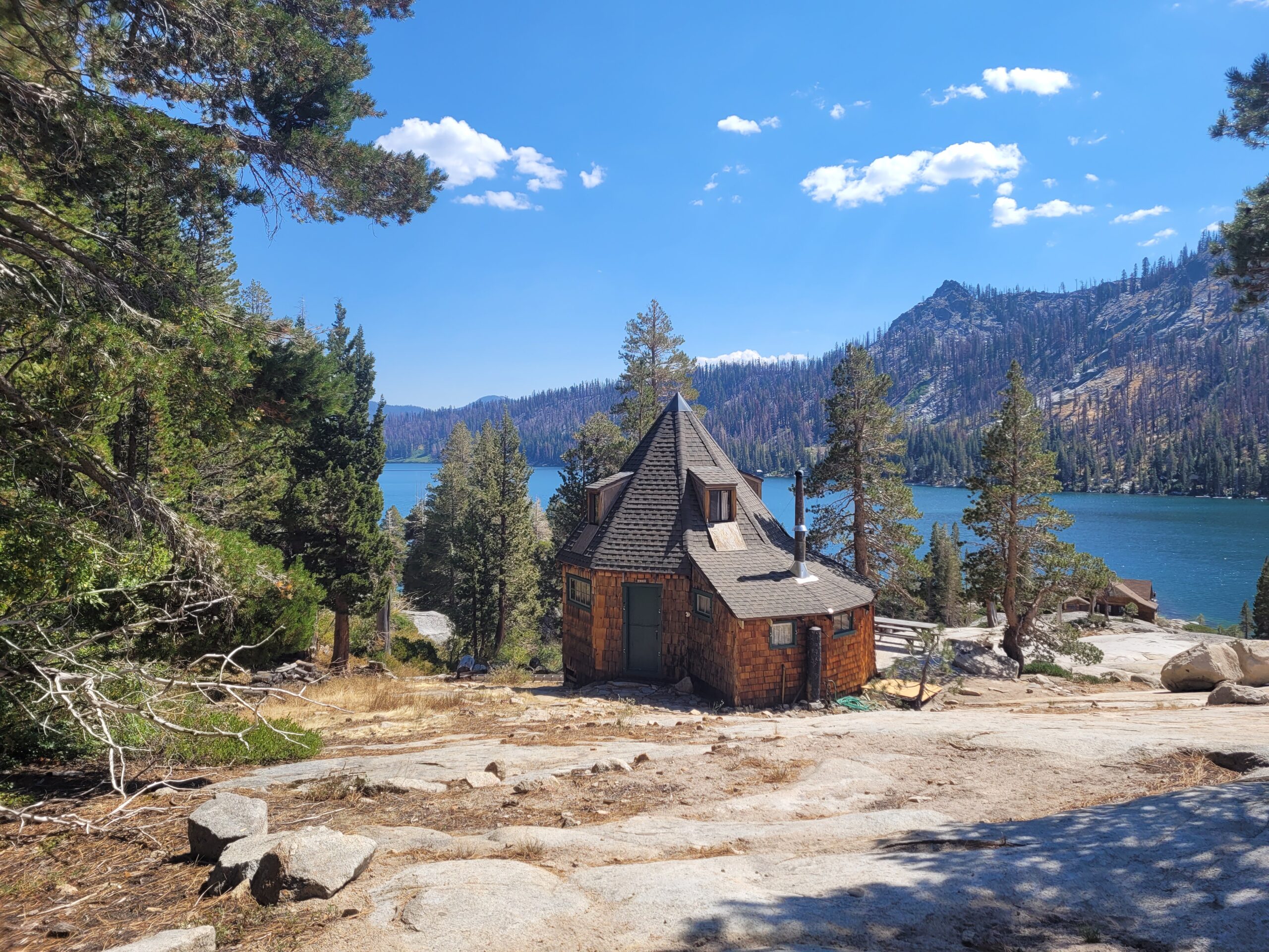
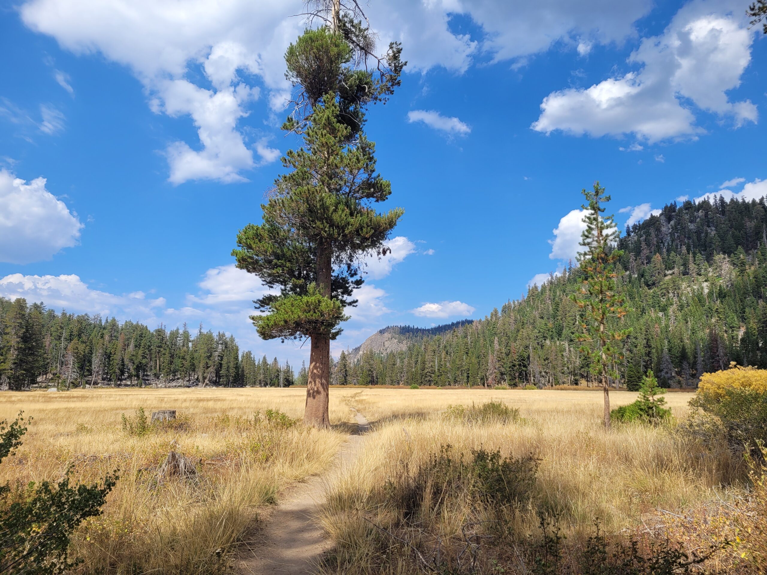
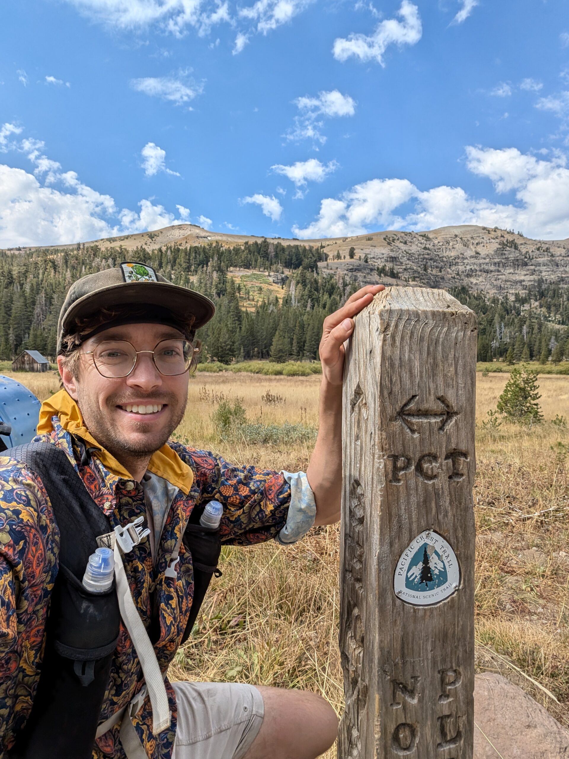
We had just awful weather this morning; there were clouds in the sky. We hiked four beautiful miles in the shade to Showers Lake, although showers never did come. This was a nice break spot and we shared Inside Out branded Babybel Cheese to recharge. We then walked through several meadows with incredible views of the surrounding mountains. On the way, we cut through Meiss Meadow, featuring two old log cabins that signified where the TRT separates from the PCT, the former heading northeast, while the PCT continues south. We joked that we were going to keep following the PCT for 1,100 miles to Mexico, uproot our lives, quit our jobs, spend three more months on trail, haha, so silly. Why would we even consider that?
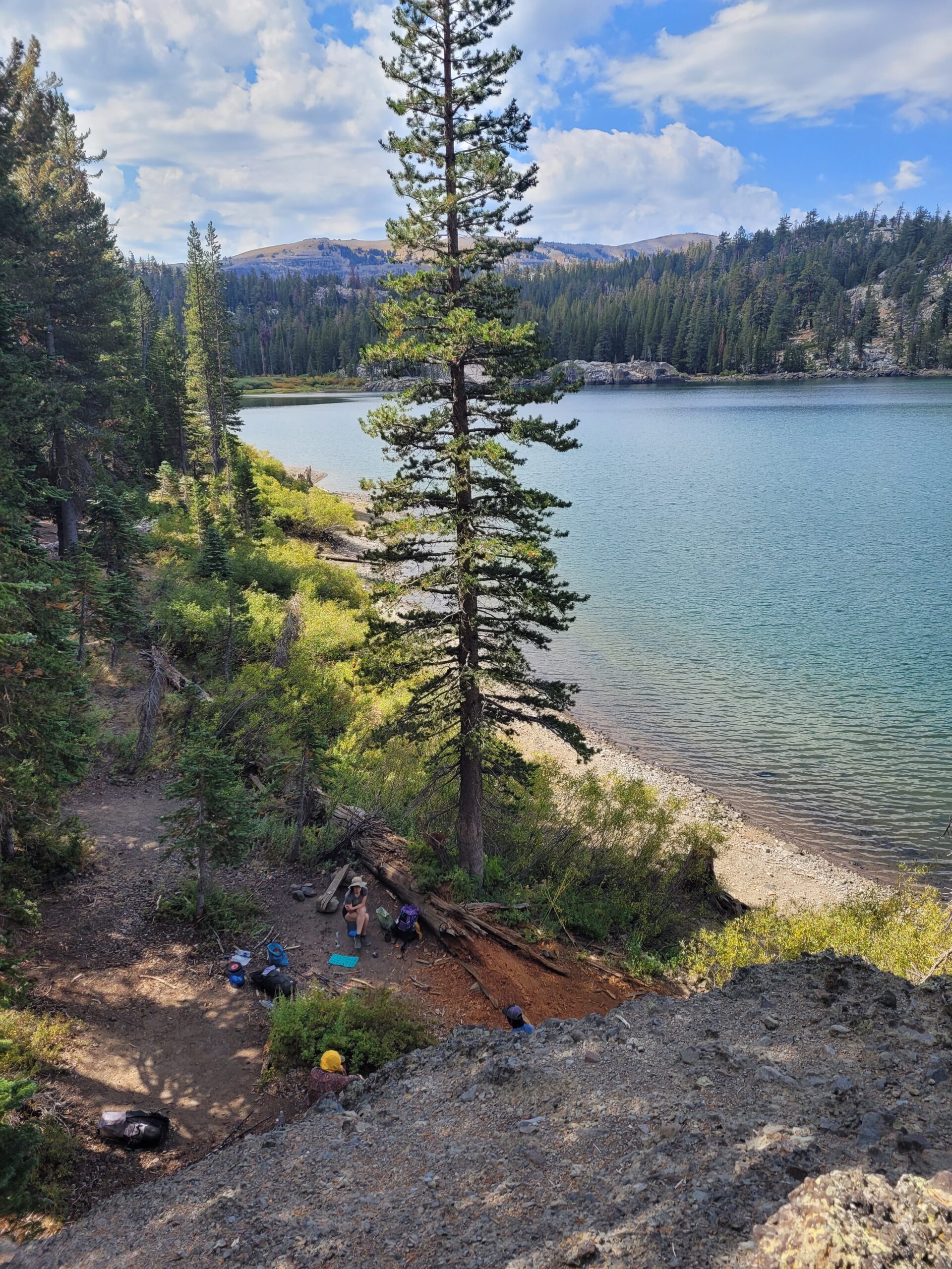
One more mile on the TRT brought us to Round Lake. Here, we took lunch near a beach next to a massive boulder. Behind us was a towering peak where we could make out where the chunk of rock had long since dislodged from the mountain. I couldn’t resist climbing around a bit.
After lunch, we made a short descent to Big Meadow trailhead, passing a Scout troop over twenty members strong. The trailhead had four toilets, each with unique wildlife paintings to stare at as you poop. Leaving the trailhead, we passed a guy wearing an Around the Bend Hostel hat hiking with his girlfriend. I immediately recognized the name as the first hostel we stayed at on the AT (and where we first met Season Pass). Turns out, they had just finished the AT and were tackling the TRT as a victory lap.

We made a very gradual climb to Freel Meadows over several miles. Along the way, passed an older gentleman hiking slower than I have ever seen someone move before: a staggering 0.5mph. Considering I felt like an 85-year-old just before a knee replacement, I shouldn’t have been laughing. A stream on the way up was likely to be our last reliable water source of the day, so we filled up our bottles in preparation to dry camp.
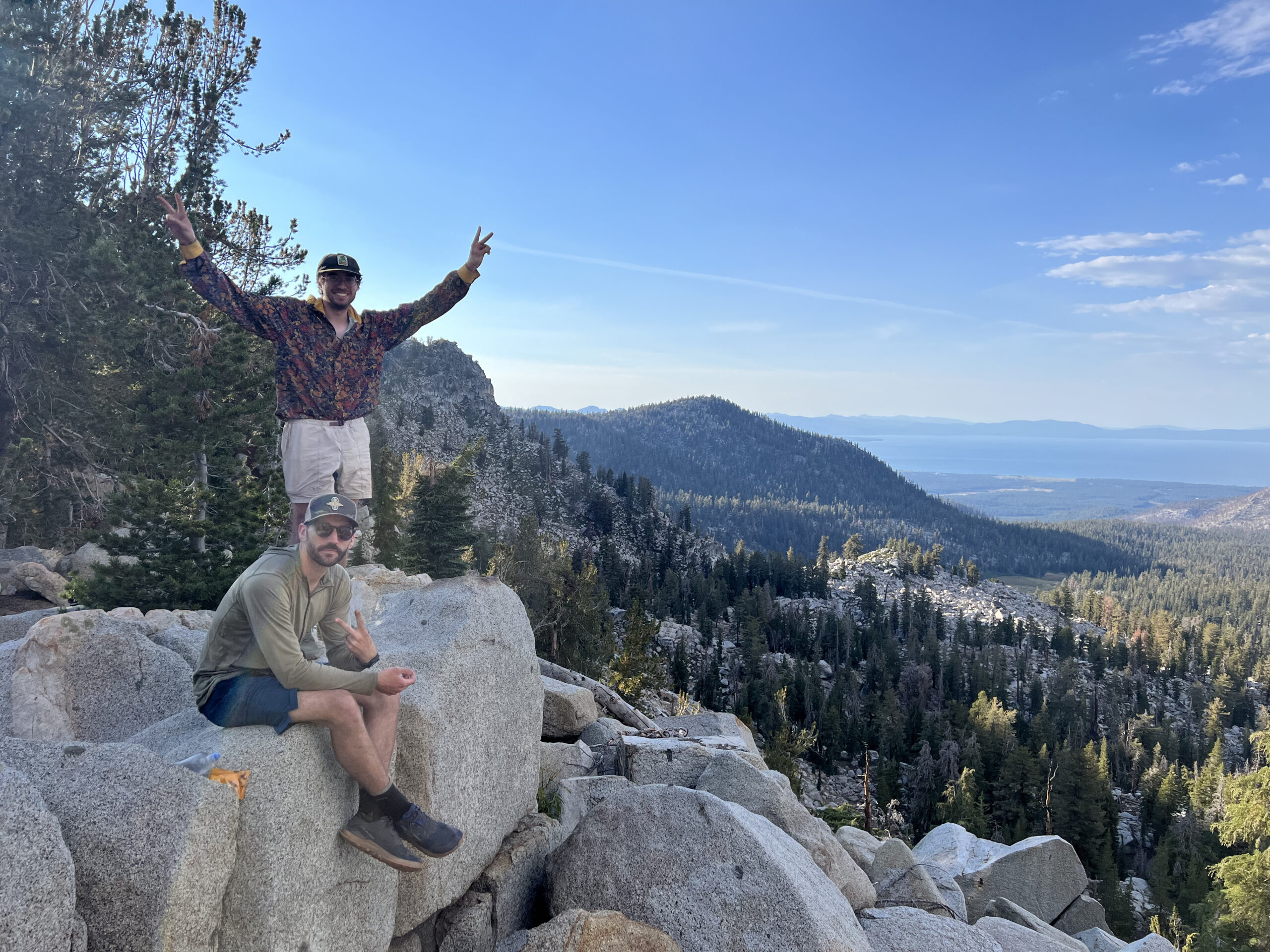
During the brief descent to Armstrong Pass, we came across a stray Croc and placed a rock inside. Tim and I have now been putting rocks in Crocs for over a decade, starting back in Scouts when we would sneakily add several pounds of weight to each others’ packs.

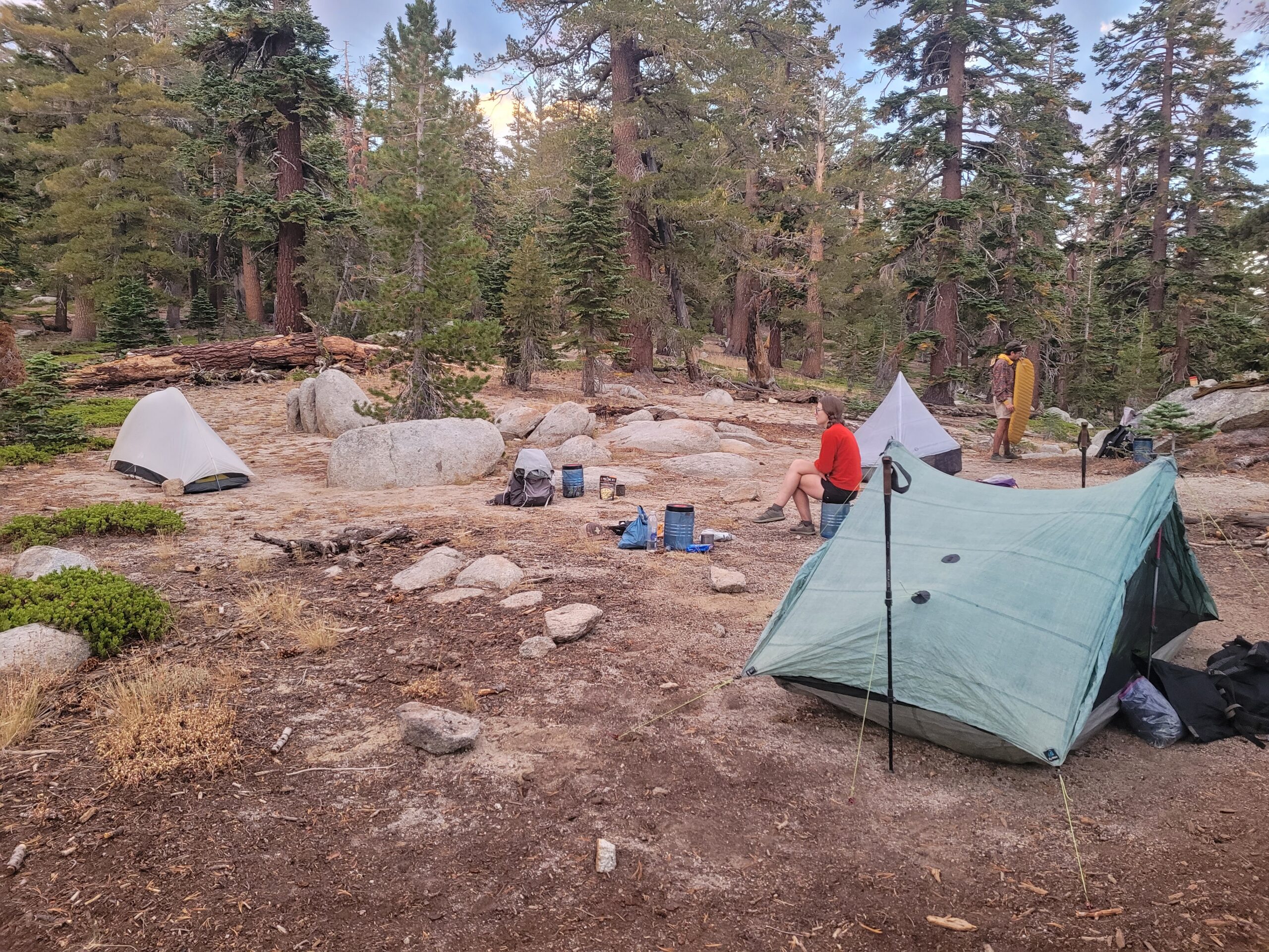
We reached Armstrong Pass and pitched our tents at a scenic trail junction. Dinner that night was some Mountain House beef stew I rescued from a hiker box in Tahoe City. The clouds obscured the sunset and there was no star gazing tonight, but this was still my favorite campsite of the trip.
Day 8
Armstrong Pass to Mellow Mountain Hostel
Distance: 17.0 miles
Elevation Gain: +2211′ -3809′
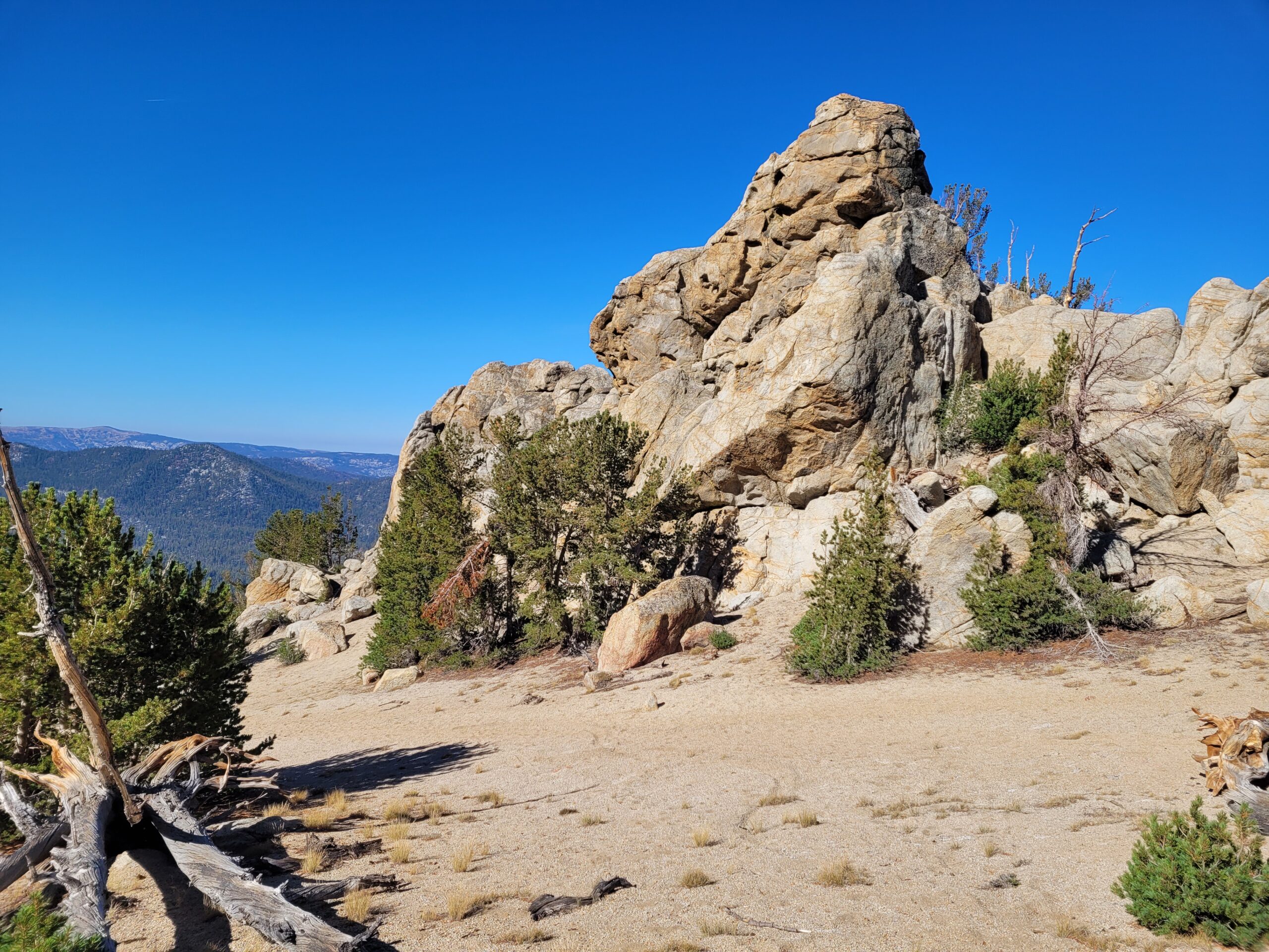
It was a beautiful Friday morning and I listened to some newly released music over the first handful of miles, including albums by Fred again.. and Nero. The trail rose to the 2nd highest point of the TRT to a junction with Freel Peak at 9,725′. We basked in a fantastic view of Lake Tahoe, with some unique rock formations nearby. We decided not to make the climb to Freel Peak, eager to keep making progress.
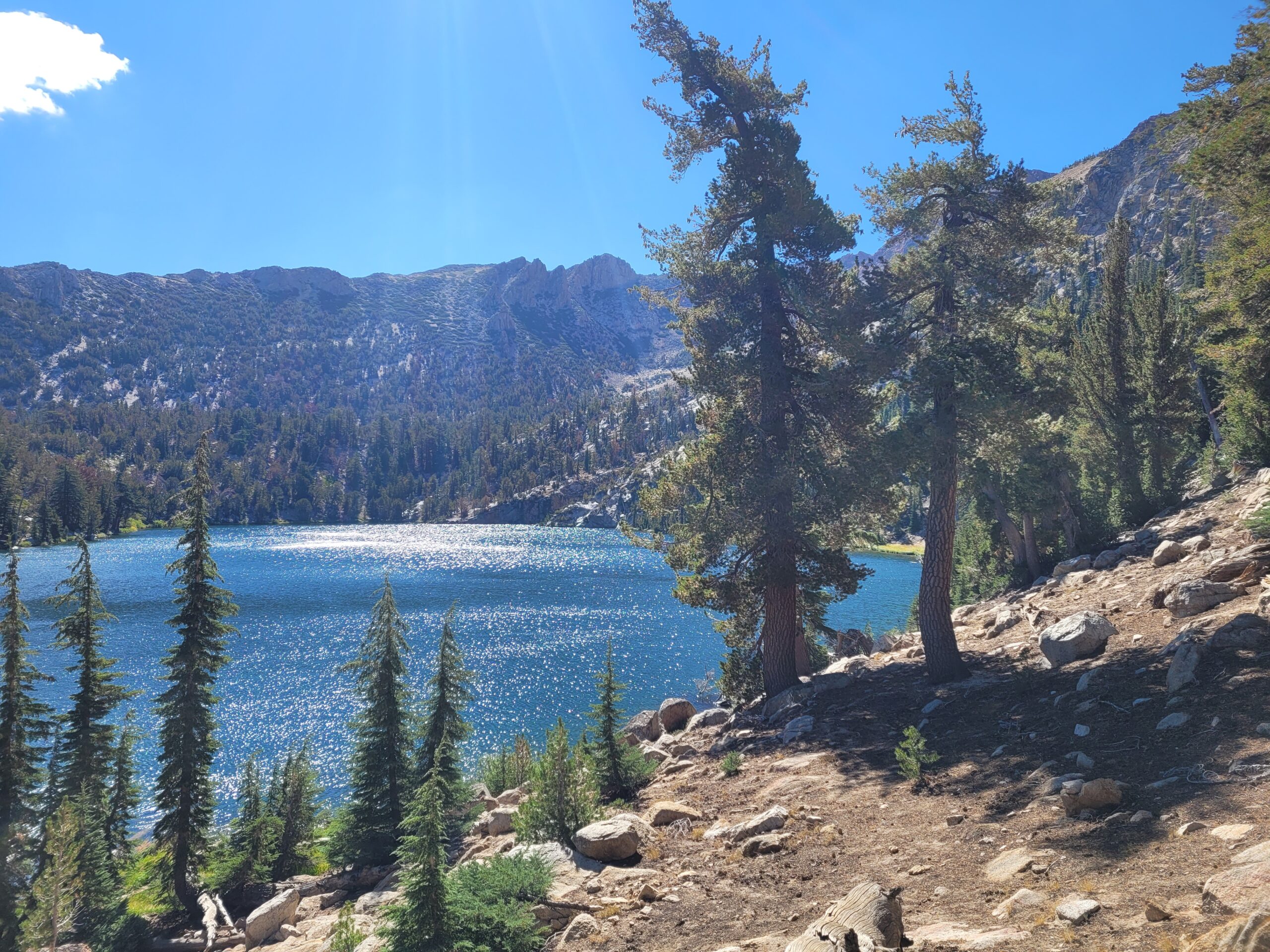
From here, we descended several miles to Star Lake. This lake was the Yin to Lake Tahoe’s Yang: small and secluded, but absolutely stunning in its own right, nestled at the base of Jobs Peak. The endless alpine lakes are certainly a highlight of the trail and each seemed to have its own unique characteristics that made it special. We went for an early afternoon swim, washed our clothes, and filtered water from the outlet.
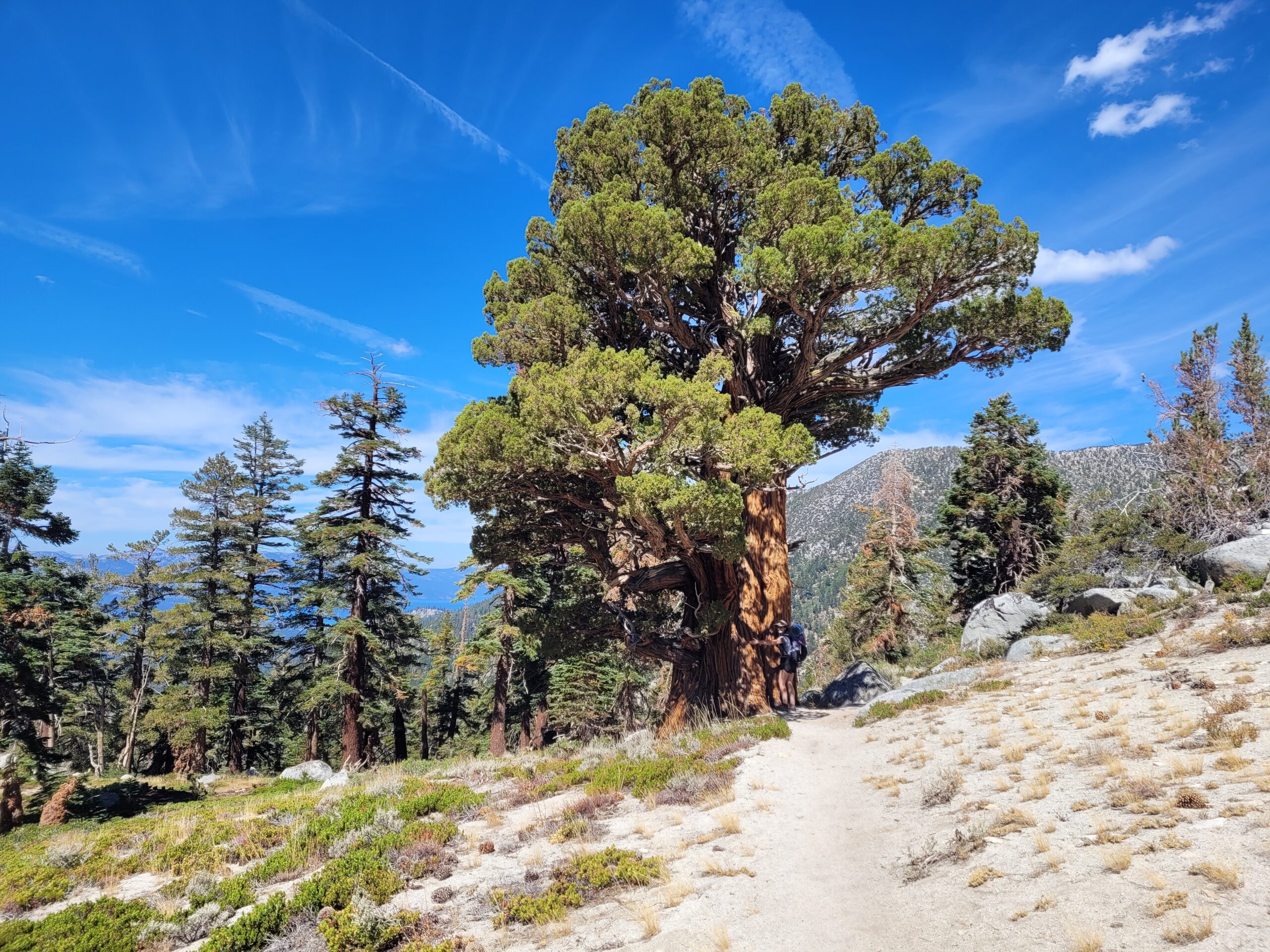
The next several miles gave off big SoCal energy, with dusty trail, sparse pines, and unique sandstone rock formations. At length, we reached the state line and crossed back into The Silver State, following a steady view of the Carson Valley. The trail passed several massive trees along this stretch, including one enormous Western Juniper that was likely older than Jesus. The terrain was exceptionally cruisey downhill and we made good time reaching the clear flow of Daggett Creek.
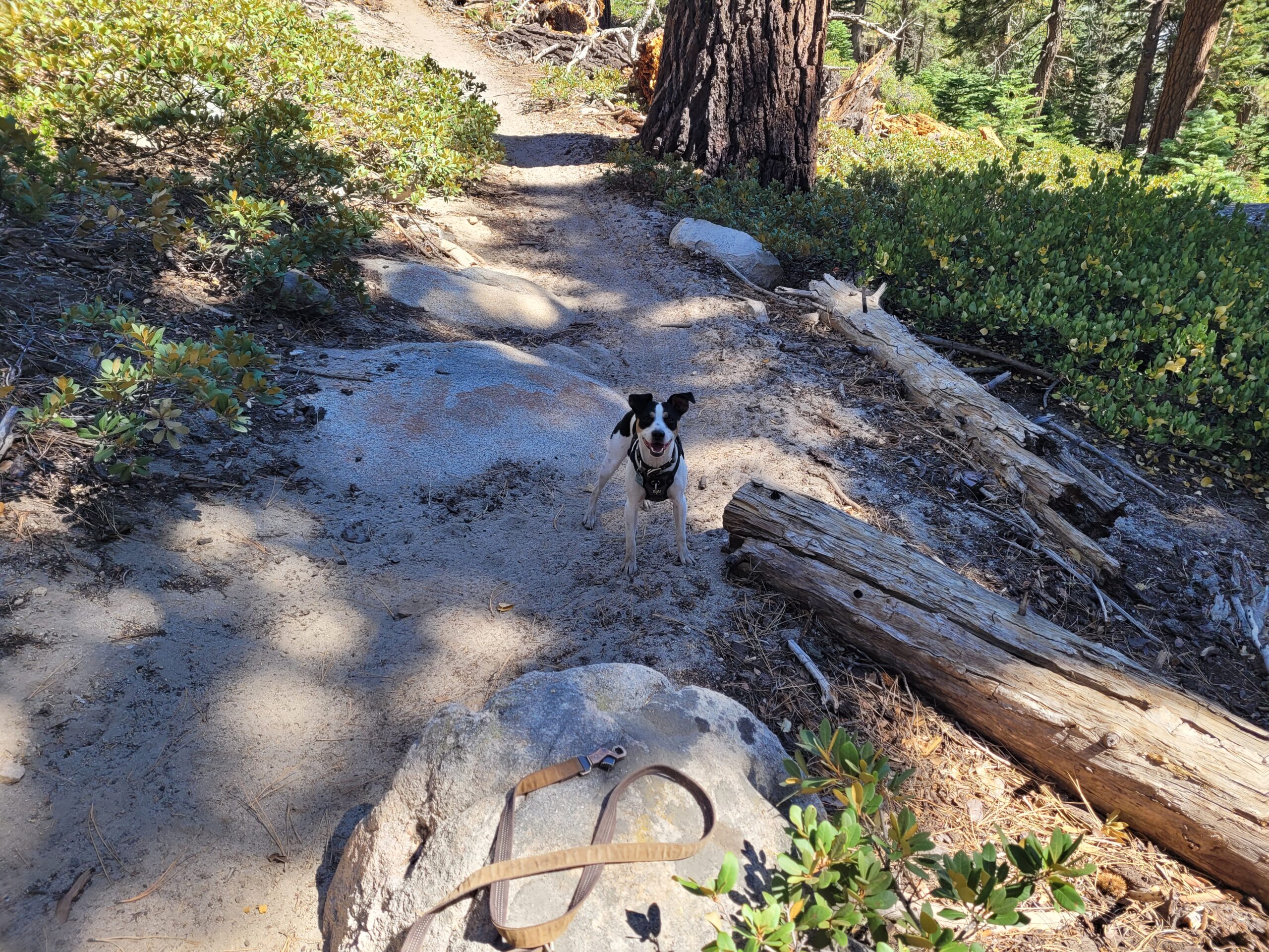
There were plenty of day hikers in this area due to our close proximity to South Lake Tahoe. It seems every single person out this way owns a cute dog and takes it on hikes with them. Several good boys carrying sticks or tennis balls ran up to greet us and further improved our days.
Before too much longer, we reached Kingsbury Grade, the original start/end point we planned for the hike before we made the audible to start at Spooner, 15 miles further north. Kingsbury Grade was close to South Lake Tahoe, so Season Pass, Amy, and I decided to YOLO it into town. Tim chose to hike his own hike and spend the night on trail.

The three of us hitched into town, picked up by a former PCT hiker named Airdrop with a fully converted camper van. She dropped us off at the Mellow Mountain Hostel in Stateline, where we paid a couple bucks to set up our tents for the night. We then showered and threw on some random loaner clothes we found in the hiker box. Ready to go, we explored the town of Stateline, aptly named since it sat on the coast of Lake Tahoe split between Nevada and California. The greater region of South Lake Tahoe felt like a hipster remix of a mountain town, engulfed in trees with some small local businesses, but massive casinos popping up as soon as you step foot on the Nevada side.
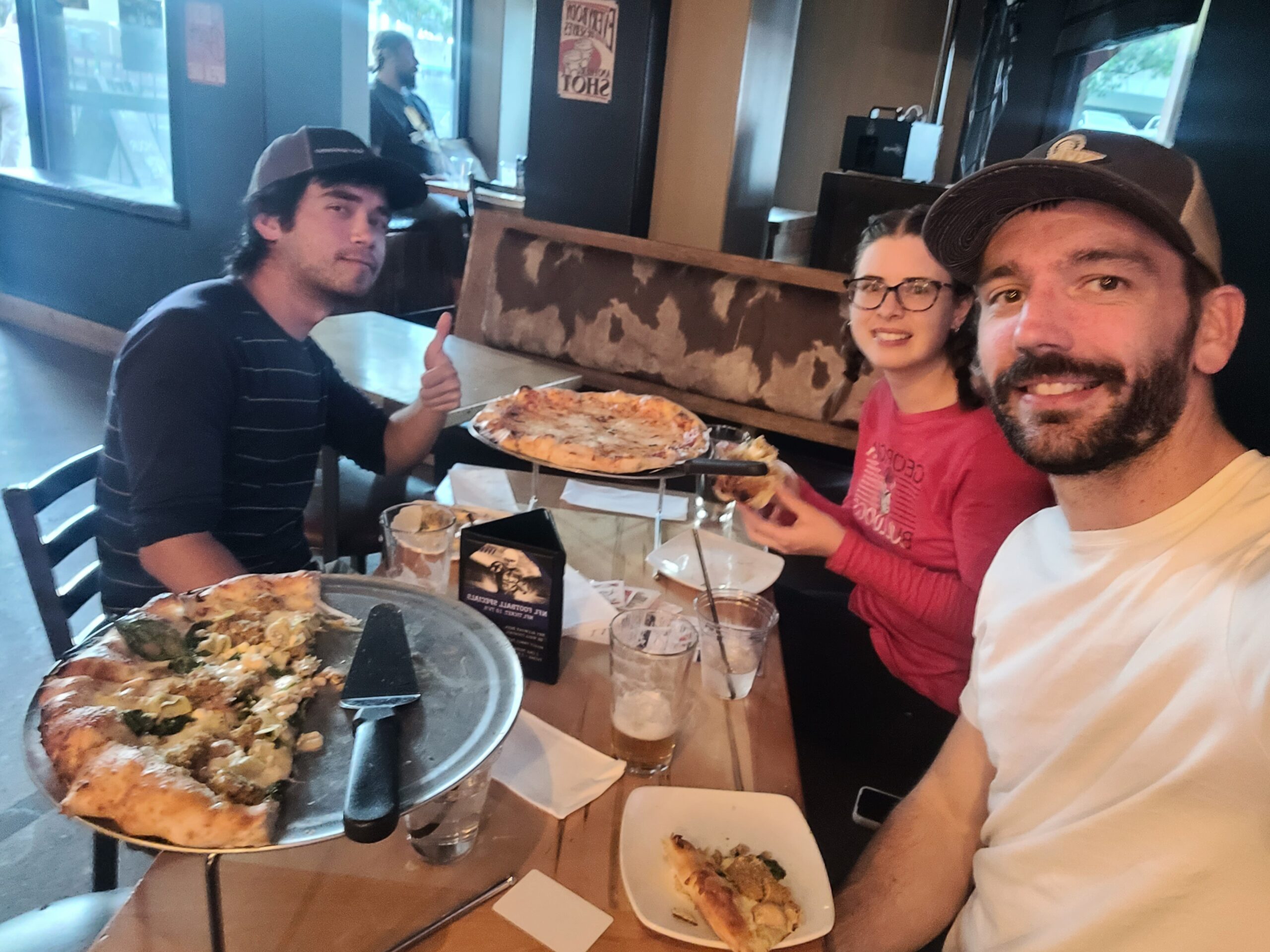
We stopped at the Embarc Dispensary, then headed to a place called Aleworx for an artichoke chicken pizza and high gravity beer. It was a fun little pregame for a Pretty Lights concert at the Lake Tahoe Outdoor Arena. The venue was fantastic and the grounds were packed with smelly wooks, so we fit right in. The show was a unique fusion of jam and electronic, alternating between heavy drops and exceptionally chill beats that the band would ride out for several minutes at a time. Highlights for me included dope samples of Mac Miller’s Jet Fuel and Sam Cooke’s Wonderful World.

Day 9
Mellow Mountain Hostel to Spooner Summit
Distance: 15.2 miles
Elevation Gain: +2703′ -2677′
My alarm rang at 7:00am. As we were packing up, we started chatting with the guy cowboy camping next to us. He was an Australian man named Aiden (trail name NOS) attempting the PCT SOBO. He was taking his first zero day in town while waiting for a new backpack to arrive. Coincidentally, Chef and Mr. Poopy also spent the night at the hostel and Chef spotted us on our way out. The five of us decided to grab breakfast at Base Camp, where we learned more of Aiden’s ambitious plan to finish the PCT in under 100 days and shared stories about our TRT experience with Chef.
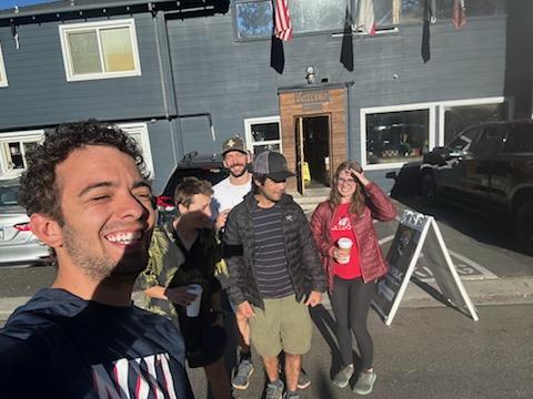
We met up with Mr. Poopy afterwards, letting him know we finally figured out his joke from earlier in the week: the sand “wears” down the paddle. Him and Chef rented a car for their drive back to Texas, and they graciously offered us a ride back to the trailhead. I’d be lying if I said I was actually motivated to hike the fifteen remaining miles, but it was time to finish what we had started.
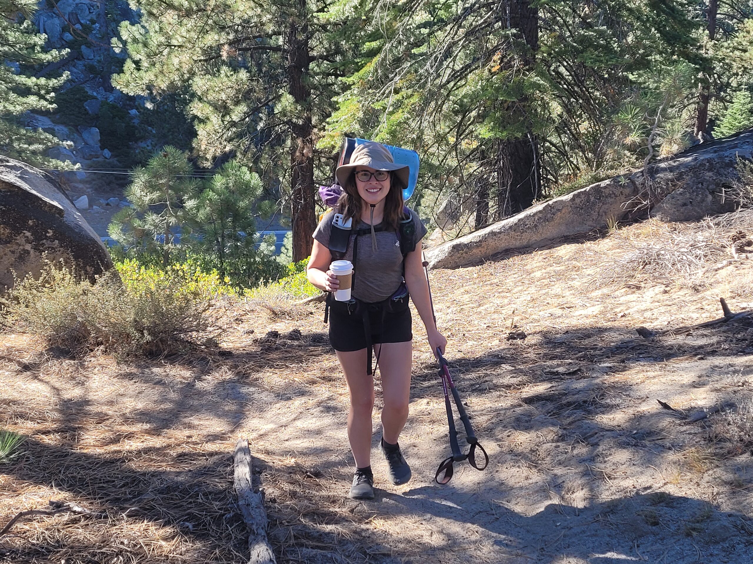
From Kingsbury Grade, we passed a sign alerting hikers that there was a mountain biking fun ride (not a race!) happening today. The mountain bikers were flying down the trail towards us every couple of minutes. Since it was an organized event, we felt obligated to yield to them, though we technically still had the right of way. It made for an interesting hike, stepping aside every few steps to let the crowds pass.
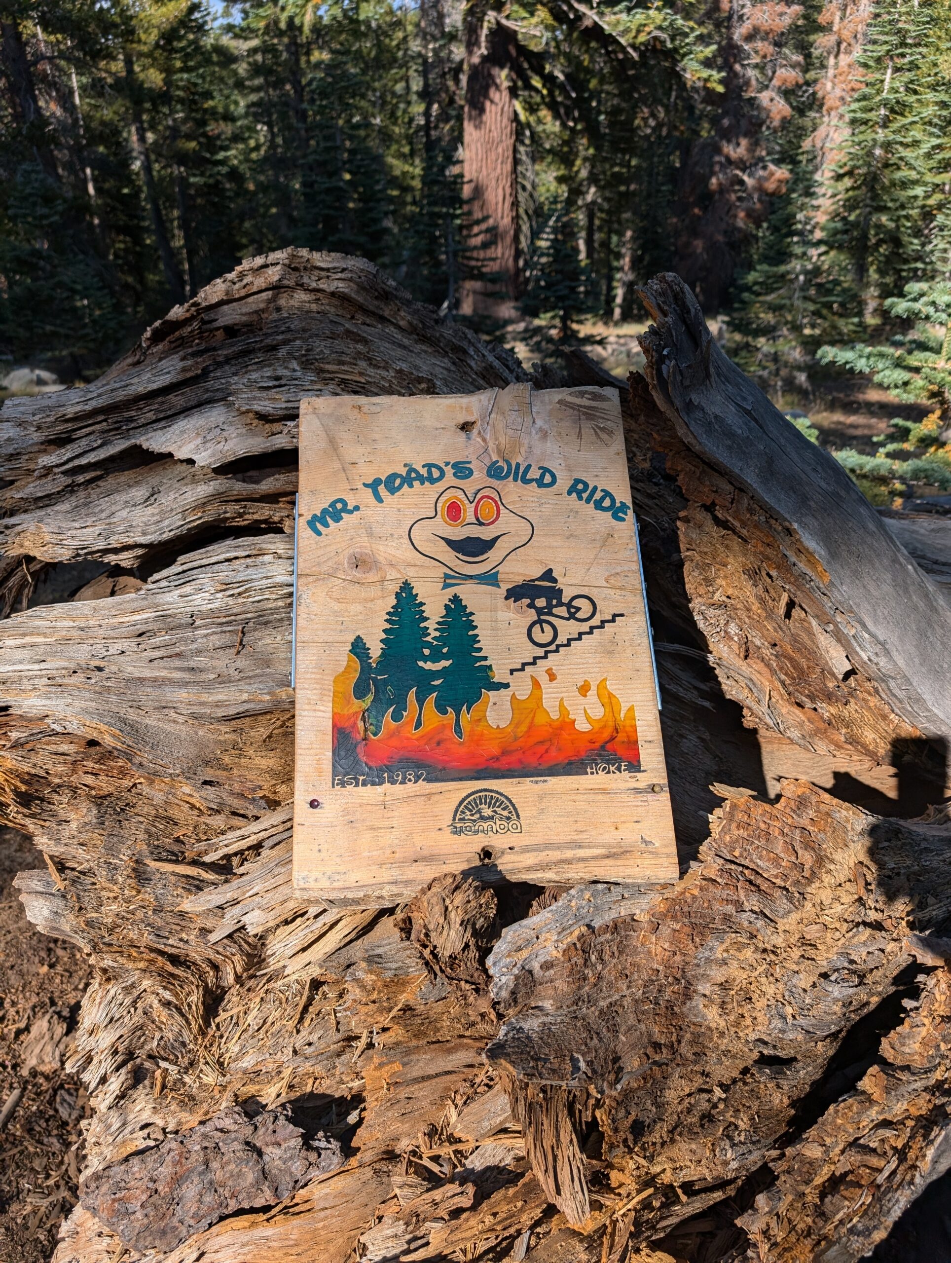
We tried to keep track of how many bikers passed over the course of the day and tallied 177. One of them practically fell on top of me while trying to navigate around a rock. Another lady pulled over for a second to chat with us, then got stung by a bee in the face multiple times as we watched in horror.
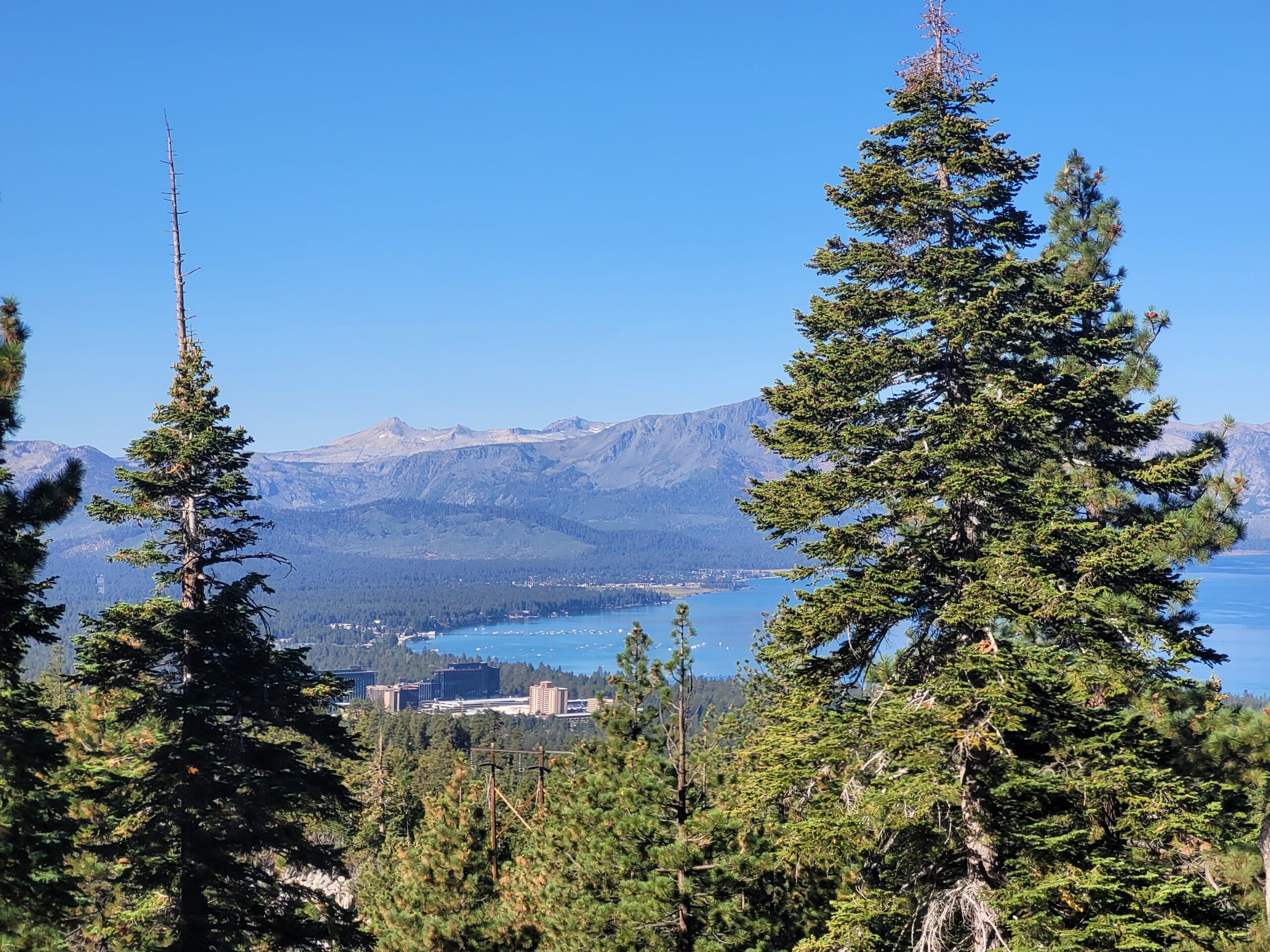
Fortunately, after about seven miles, things settled down and we assumed sole ownership of the trail. There was a particularly beautiful stretch of hiking along a ridge with an close-up view over Lake Tahoe. Further in the distance, we could make out the vibrant Emerald Bay and the casino skyline of South Lake Tahoe.
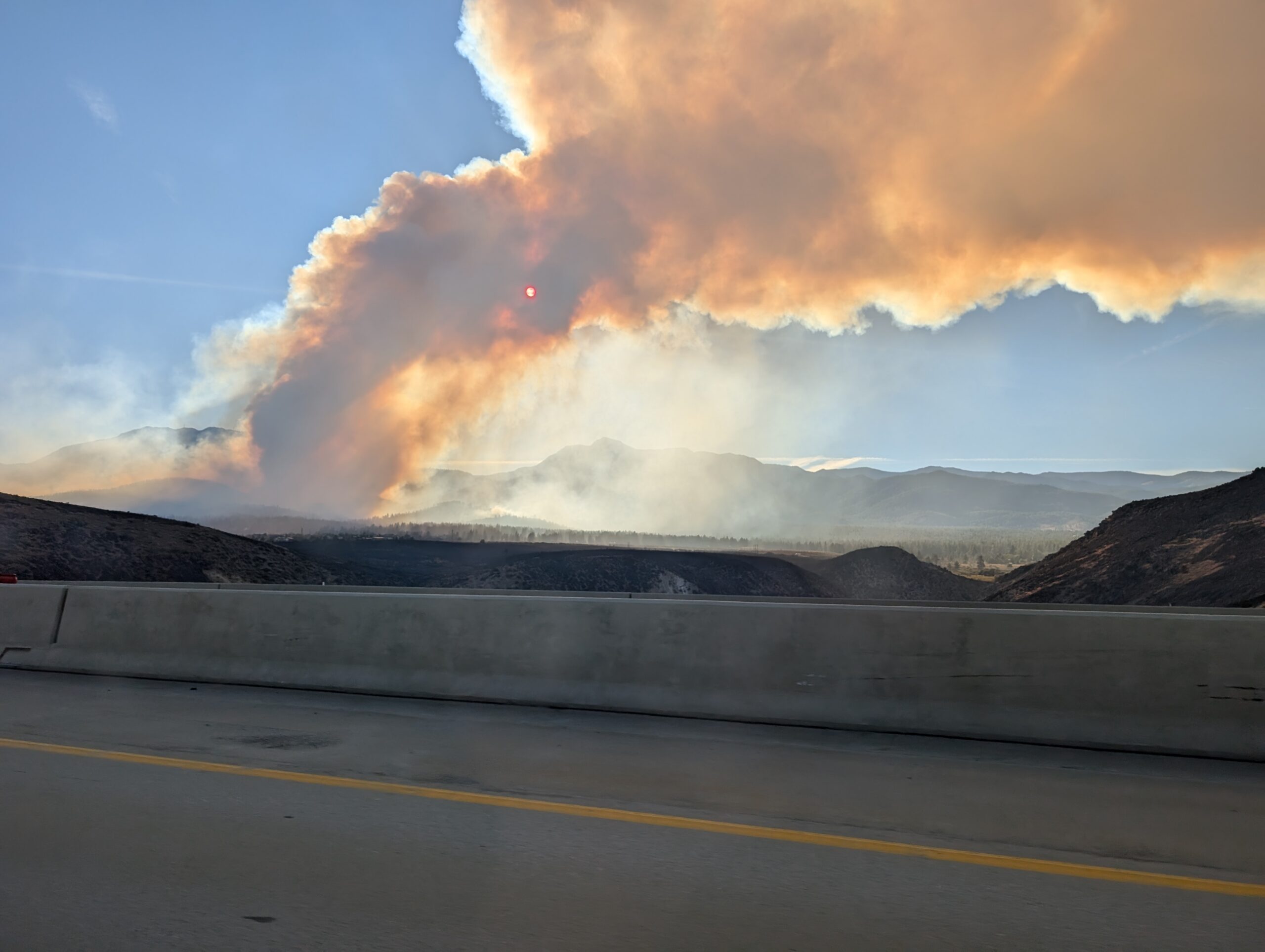
Shortly past here, my phone started blowing up with PSA’s that a wildfire was spreading from Davis Creek in Nevada. We could see a massive bellow of smoke to the north, directly where we were headed. It was difficult to make sense of the scale of the fire, determine how far it was away, or know how quickly it would spread. We were not in any actual danger, but felt subtle paranoia that the flames were racing us to Spooner Summit.

We were only a mile and a half from the finish line when Amy loudly declared, “I quit!”. I was proud that she made it so far, over 170 miles, and offered to escort her to the nearest trailhead so she could go home. After thirty more minutes of forest walking, we popped out at the parking lot where we had first started nine days ago. It was a long journey, much lengthier than our usual jaunts, and we were all relieved to be finished. At this point, our priority was finding a way back to Stateline, NV where we had rescheduled another stay at the hostel.
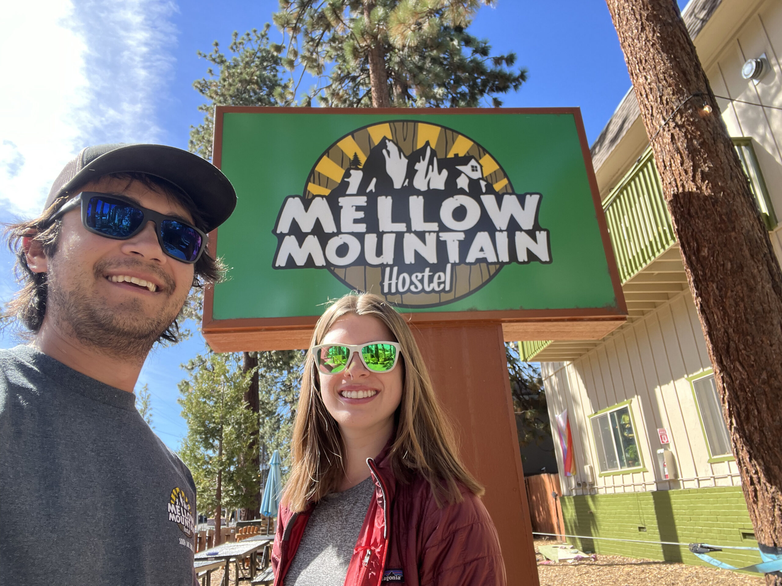
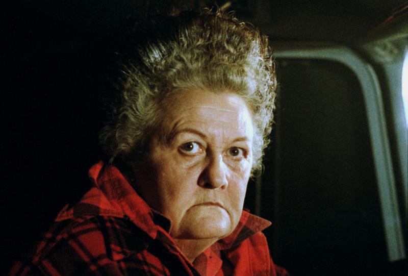
We got a hitch from a woman who immediately clarified that she was not a trail angel, but a trail concierge. She then told us we smelled worse than anyone she ever picked up and demanded we pay her for the ride. She spent the final ten minutes trying to sell us an expiring Groupon that no one wanted. Eventually, she dropped us off at Mellow Mountain hostel, “tell ’em Large Marge sent ya!”
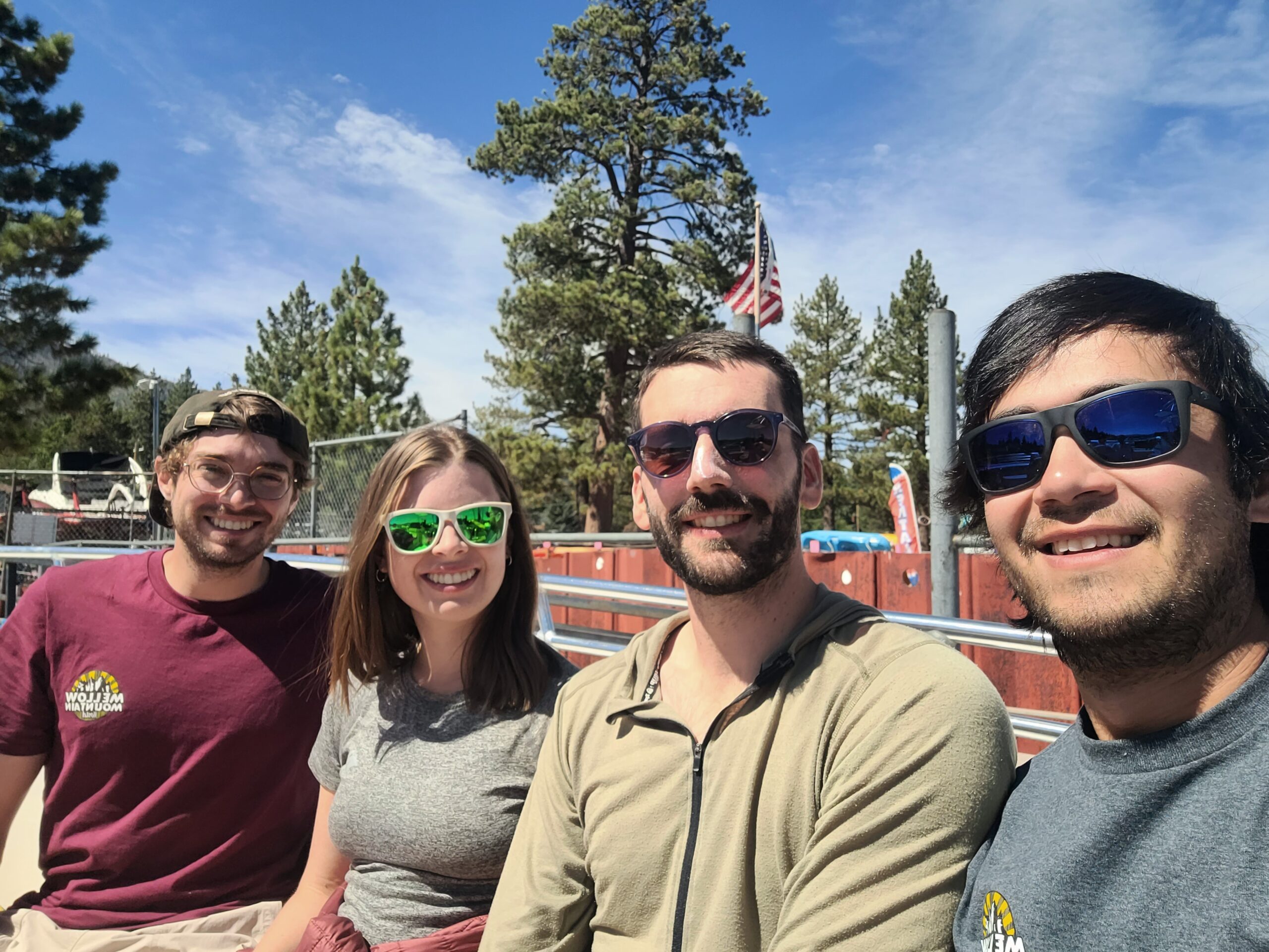
After cleaning ourselves up, the three of us went to McP’s Irish Pub for post-trail dinner. I ordered a delicious shepherd’s pie and was elated to find out they had one of the best west coast IPAs in the world, Pliny the Elder, on tap. We regrouped with Tim at the hostel for a while, but the group energy was pretty much depleted. Season Pass and Tim went to the beach to relax, but got harassed by a burner instead. Amy and I stayed back to make some changes to our flight home. Later in the evening, my wife and I grabbed some custom ice cream sandwiches from the Baked Bear.
Day 10
Zero Day
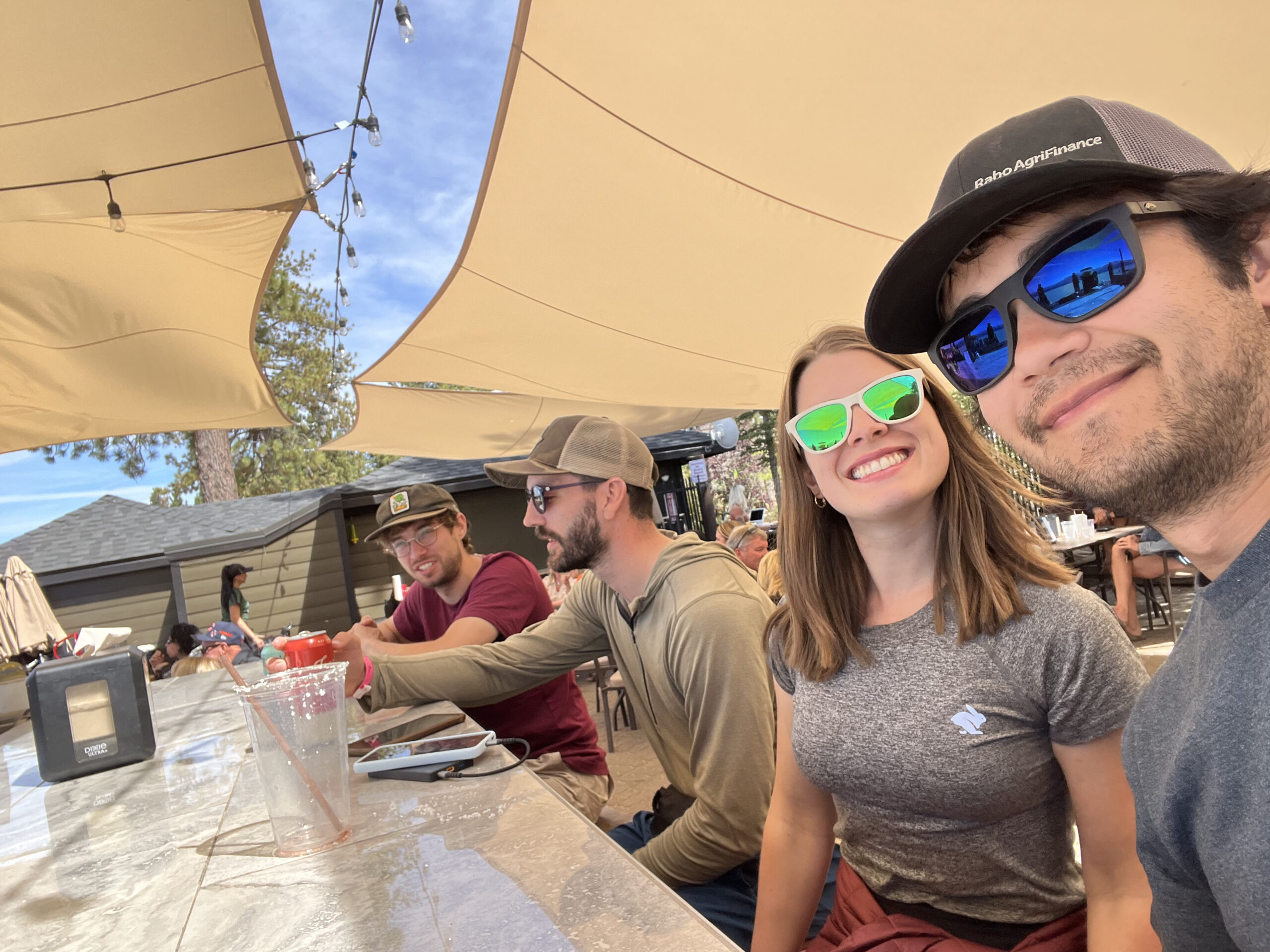
Learning our lesson from our last summer trip, we made sure to leave a blank day in the itinerary after the hike before flying home. There was nothing on our agenda today except hanging out in town. The group went to Driftwood Cafe in the morning for some tasty omelettes. Then, after a bit more relaxing at the hostel, we stored our gear in the garage and checked ourselves out. We took Lime scooters pretty much everywhere we went today, determined to keep walking to a minimum after logging over 400,000 steps in the past ten days. We found ourselves at the beach for a short while, then migrated to the beach bar as soon as it opened.
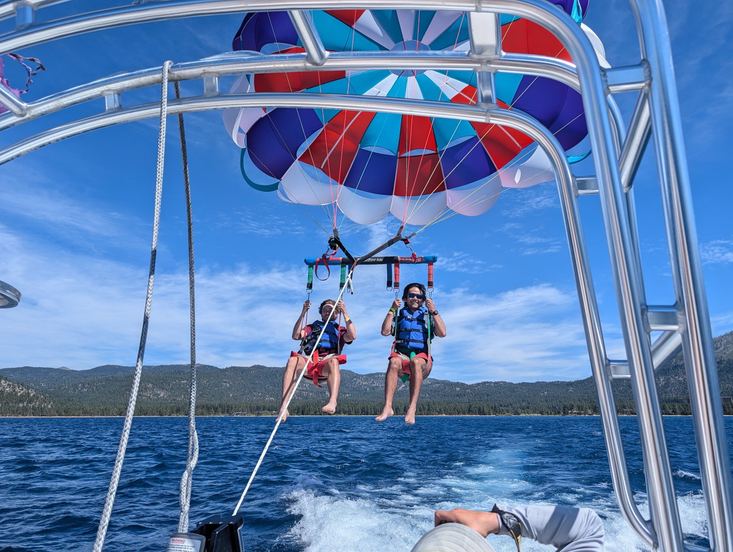
After several drinks, the natural move was to go parasailing on Lake Tahoe. Two guides took a group of ten of us out onto the water. We formed pairs and took turns getting launched into the air. Tim and Season Pass went up first, followed by Amy and me. Though it was a bit nerve wracking being strapped in, the experience was actually less thrilling than expected. On release, the chute gracefully lifted us up higher and higher until the full 1,000ft length of rope was exhausted. The view of the lake and the surrounding mountains was absolutely incredible. Before we knew it, we were reeled back in to the boat, but not before the captain made some exciting stunt maneuvers and dipped our legs into the water.
Once we were back on land, we grabbed lunch “downtown” at Poke Rok, then headed right back to the beach. We only had a few hours left before we planned to head towards Reno, NV, where Don had offered to host dinner for us before flying out in the morning. We swam in the cool water of Lake Tahoe one last time, actually enjoying our last few moments, until the druggie that Tim and Season Pass met the previous day returned. He told us we needed to, like, break out of the system, man. Then, he started hitting on my wife. We left shortly after.
We got picked up by an Uber and dropped off three blocks later. After a second try, we successfully found someone to take us to Don’s house in Reno, NV. On the way, we drove right past the active wildfire and could see the flames from the highway. Helicopters picked up water from Washoe Lake to combat the fire. We learned that the burn zone extended all the way into the Mt. Rose Wilderness, which we had walked through just a week prior.
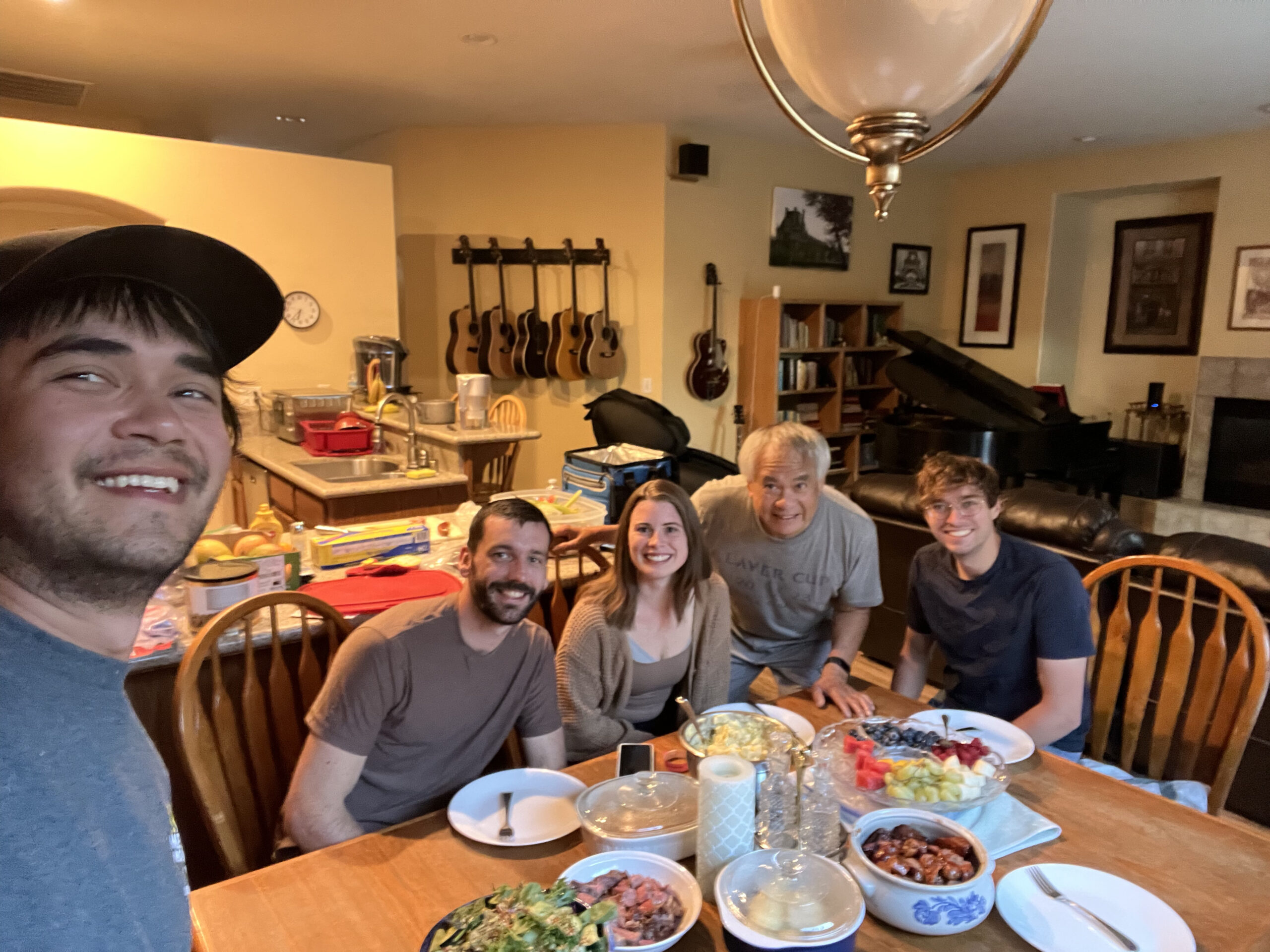
At Don’s house, we helped him prepare a delicious barbecue meal. After cleaning up, we spent some time hanging out with him and learning about his many diverse interests, including cooking, piano, guitar making, and photography. The new flight that Amy and I booked was leaving at 5:00am the next morning, so we desperately needed some shut eye and could not stay as late as we wanted.
We bid Don, Season Pass, and Tim farewell and stayed the night at the Peppermill Hotel and Casino. The front desk attendant gave us a free upgrade to the honeymoon suite, which included a super fancy steam shower. We enjoyed the room for all of six hours before shuttling to the airport and heading home. What a trip!
Final Score: (# times bear can fell off backpack)
Amy: 6
Alex: 3
Tim: 1
Season Pass: Did not participate

