Trip Report
My brother Tyler is getting married in June and I wanted to plan a lowkey bachelor getaway for his upcoming wedding! Not much of a party though, it was originally supposed to be a weekend expedition to the Sierras. We did some research and managed to score a permit to hike the Rae Lakes Loop in Kings Canyon National Park over Memorial Day weekend. Unfortunately, the mountains have seen unprecedented precipitation over the past few months. It quickly became obvious that a hiking trip to the Sierras would be extremely dangerous, if not impossible. Sure enough, our permit was canceled by the NPS a few weeks later and we were left to improvise.
We looked into backup options, finding similar issues with driving to Big Sur, and feeling as though desert hiking in Joshua Tree or Death Valley National Parks would be uncomfortably hot in late May. I had read about the 67-mile Backbone Trail that runs through the Santa Monica mountains of Malibu, CA. Tyler agreed that would be the most logistically simple and we went into the trip with no expectations on what to expect regarding the experience of a hiking trail contained within Los Angeles County, but we were pleasantly surprised!
Where: The Backbone Trail (BBT) through the Santa Monica Mountains near Malibu, California
When: 5/25 – 5/29
Distance: 67 miles
Conditions: mid 50s to low 80s, June gloom
Route: https://caltopo.com/m/RK690
Photos: https://photos.app.goo.gl/NGhfFkuja8vre9E17
Gear: https://lighterpack.com/r/hmuojz
Pre-Trip Information
Overview
The Backbone Trail is self-proclaimed as “Los Angeles County’s Only Thru-Hike.” What is odd is that this trail is not at all conducive to thru-hiking in its current state. That being said, its close proximity to greater LA and several smaller towns make it a perfect candidate for a long hike. I would image this trail is a good shakedown for the southern California sections of the PCT. The scenery has much greater diversity than expected, with some sections following the true “backbone” of the Santa Monica Mountains, others taking a detour to explore unique rock formations or descending into valleys or canyons, sometimes even under tree cover. On a Memorial Day weekend, it was not overwhelmingly crowded, but we did pass day hikers and mountain bikers somewhat regularly. The sections away from the parking lots felt secluded. Hiking in Spring while the wildflowers are blooming was ideal. The entire trail was in color and the streams were still flowing strong into late May.
Permits & Camping
Camping permits are not necessarily needed, but the NPS only lists five established campsites for the BBT. Two of these are over a mile off trail and cater to car camping, which means they are more expensive and require advanced reservations that book up quickly on weekends. One of the on-trail campsites is only for large groups. So effectively there are only two established campsites for the entire 67-mile trail: La Jolla and Musch Camp. These are both walk-up sites but we were able to easily find a spot on a busy Memorial Day weekend. Unless you want to hike the 52 miles between them in a single day, however, you will need to get creative for additional nights.
Most of the road crossings on trail have cell service and the closest town is usually only a short drive away. Though this is pricey and not much fun, one of the simplest options is to plan your days so they end at a highway and Uber to a hotel for the night.
Another option is to stealth camp. There were plenty of “established” campsites we came across randomly on the trail, notably along the ridge before descending to Malibu Creek Canyon east-bound. Of course, these are in plain site, so your best bet is to wait until dark to set up camp, then dip out early. There is flat space out-of-sight along most of the trail if you look hard enough. Following LNT principles and being respectful of private property/State Park rules, I cannot imagine having any issues – we only saw two mountain bikers come by once in the dark.
Water
We hiked this trail in May of 2023, following months of unprecedented rainfall in California. Certainly, not all of the seasonal streams will be flowing on drier years. However, some of them appeared quite reliable, especially the one just before reaching Kanan Trailhead east-bound. The driest section was the 18 miles between Danielson Ranch and Encinal Canyon, the only option for water being a ~4.5 mile round trip to Circle X Ranch. In addition to streams, there are several water spigots and even one or two bathrooms with running water spread along the trail at campsites or parking lots. Lastly, there are plenty of opportunities for water caching if you plan ahead. I marked most (not all) of the smaller seasonal streams, along with reliable water locations and ideal caching locations, in the CalTopo route.
Transportation
Ubering to/from either trailhead is doable from practically anywhere in LA. So you could simply start and end your hike in this way. If you have two cars and two drivers, you could do a car drop-off at one end, which would add a few hours driving time.
To save some money and simplify the process, we decided to drive to one trailhead and Uber to the other. The easiest way (assuming you’re coming from LA) is to leave your car at the eastern terminus, Will Rogers State Park, and shuttle to the western terminus, Ray Miller Trailhead/Point Mugu State Park. This cost us $50 and the drive took about an hour with traffic.
One slight catch is that overnight parking at either trailhead is prohibited. Fortunately, parking nearby is easy and free. Near Ray Miller Trailhead, cars were lined up along Highway 1 just outside of the parking lot. I’m sure it would be no problem leaving your car there for a few nights. Near Will Rogers State Park, we parked in a neighborhood in Pacific Palisades, a short drive down Sunset Blvd from the state park. When we were walking here on the road after finishing, we saw a group of cars parked on the side of Will Rogers State Park Rd (much closer to the trailhead) and it looks like it would be fine to leave a car there overnight. The important thing is to keep an eye out for street cleaning or “No Parking” signs if you’re parking in a public place.
Day 1
Ray Miller Trailhead to La Jolla Valley Trail Camp
Distance: 5.5 miles
Elevation Gain: +1,212′ -465′
At 4:00pm after work, we left Tyler’s house in Torrance, CA and drove towards the eastern terminus of the trail. After a quick stop for groceries, we passed Will Rogers State Park around 5:30pm and realized that overnight parking in the state park was not an option. Instead, we cruised the streets of a quiet neighborhood in Pacific Palisades and parked a mile or two from where it appeared the trail would let off. From there, we struggled for to select an accurate drop-off location on Uber, since the western terminus of the trail had no address, but we were eventually en route to our starting point along the beautiful Pacific Coast Highway through Malibu.
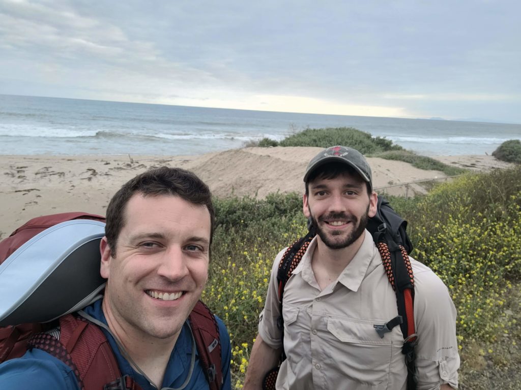
We shuttled to the western terminus of the Backbone Trail so we could hike back to our car west-to-east. It was 6:30pm by time we were dropped off at the Ray Miller Trailhead. Before setting off, we paid the overnight fee for La Jolla Valley Campsite at the parking lot ($10/person).
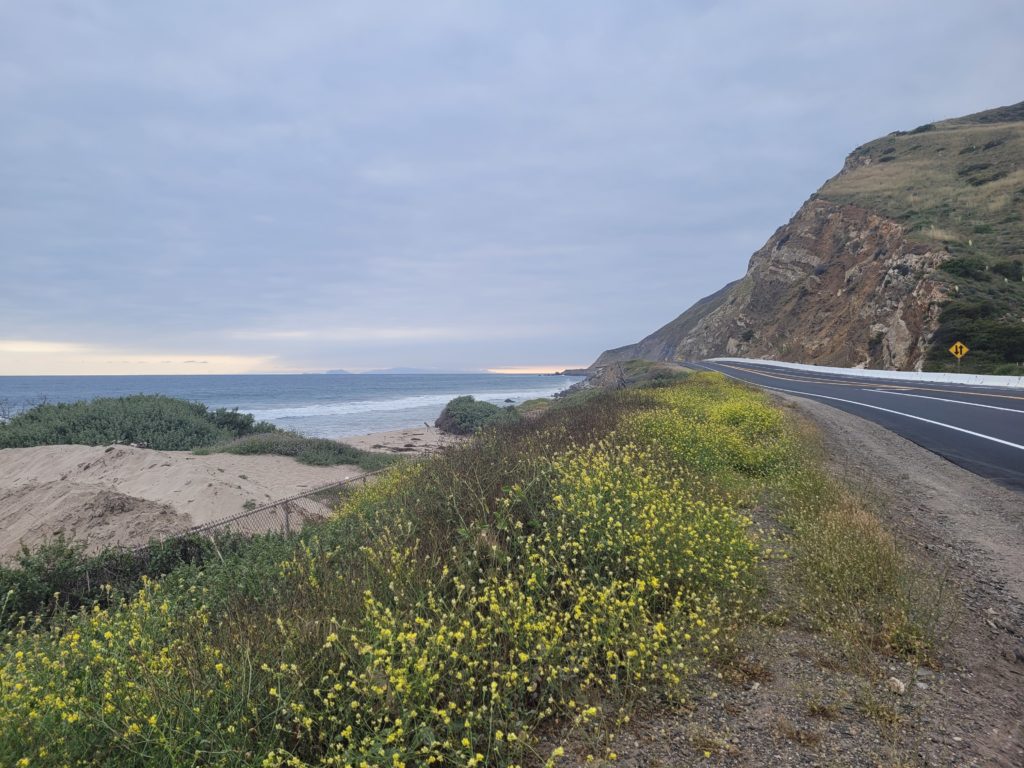
It was finally time to start our hike! The trail began at sea level, just across the road from the Pacific Ocean, and rose steadily for the first few miles as we enjoyed increasingly beautiful views of the water beyond the hills. The Channel Islands were visible in the distance, most prominently was Santa Cruz Island, which Tyler, Olivia, Amy, and I had hiked across just a few years ago. The trail was colored with vibrant wildflowers of countless varieties. The record-breaking snowfall and rain that California had received was apparent and we timed our trip perfectly.
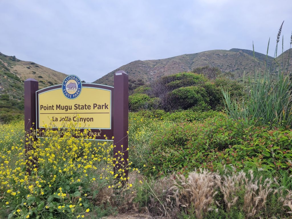
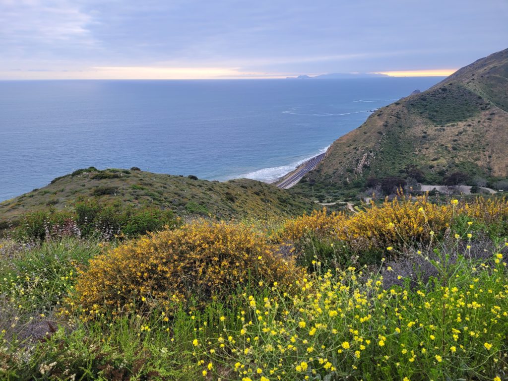
We set an effortless pace of three miles per hour and made it to the crest of the first hill with daylight to spare. The ocean was already out of view and a new series of mountains stood looming for us to tackle the next day. The overcast skies began to dim as we worked our way closer to the camp, turning off at an intersection that led to La Jolla Valley. Our headlamps guided us along the final mile of night hiking down a dirt road to the camp. We cut a short distance through an overgrown patch of shrubs to a nice, flat site with a picnic table, a bear box, and space for 3 or 4 tents. It was after 9:00pm when we dropped our packs.
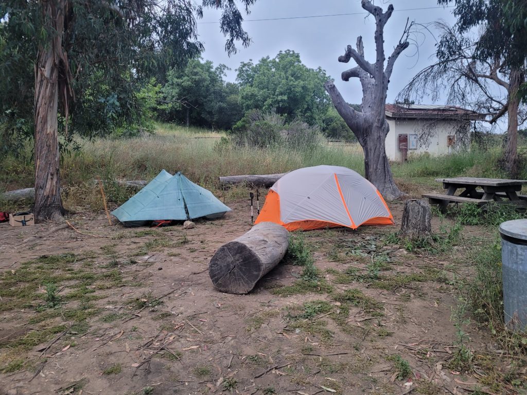
Tyler set up his new tent for the first time and I struggled to set mine up without Amy there to do all the work. After they were pitched, we ate some cold sandwiches and hung around for a short while before calling it a night. Both Tyler and I were eager to break in our new sleeping pads and we had a long day planned for tomorrow.
Day 2
La Jolla Valley Trail Camp to stealth site near Mulholland Highway
Distance: 21.3 miles
Elevation Gain: +4,110′ -3,339′
The Backbone Trail is not designed to be thru-hiked. Several problems including a backcountry camping ban, lack of established campsites, and infrequent/unreliable water sources make it a challenging trail to hike end-to-end. There was only a single marked water source for the next 23 miles so we knew we would have to hike a far distance. Furthermore, there was not a single viable campsite for nearly 40 miles. Our plan was to play it by ear, hike a long day to find water and either Uber into the nearest town or stealth camp.
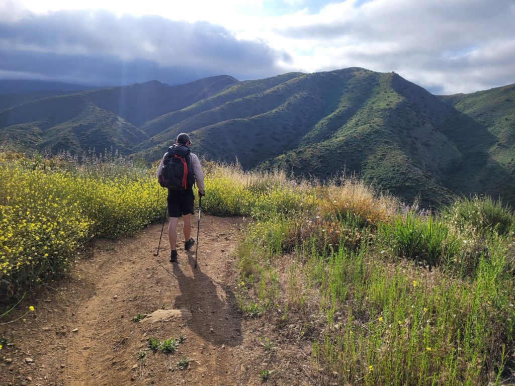
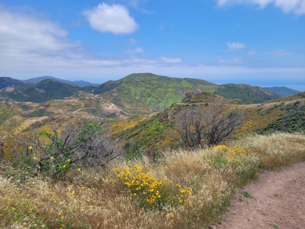
I woke up early at 5:30am (still on Pittsburgh time apparently). Tyler slept a bit later. It was around 7:30am by time we left our campsite. The hiking day began with an absolutely gorgeous stroll through abundant wildflowers along both sides of the trail for several miles. The air was fragrant and cool and made for a pleasant morning. After 4 miles or so, we crossed an unexpected stream and filtered our first water of the weekend. We then followed a dirt road that led us past Danielson Ranch Campground. The trail criss-crossed over the stream a few more times. The flowing water, combined with the wildflowers and lush hillsides, made it hard to believe we were hiking in southern California. We even saw a flock of wild parrots fly overhead.
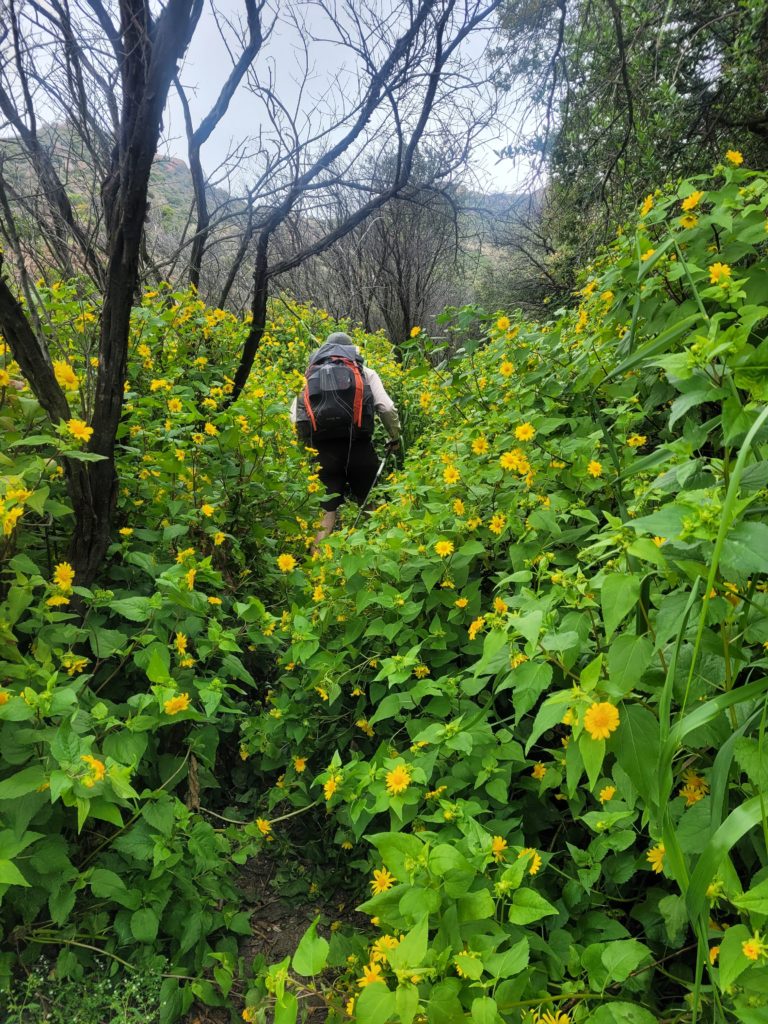
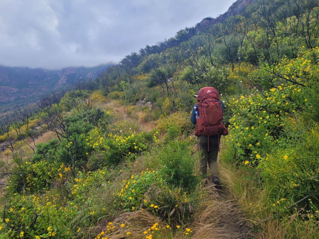
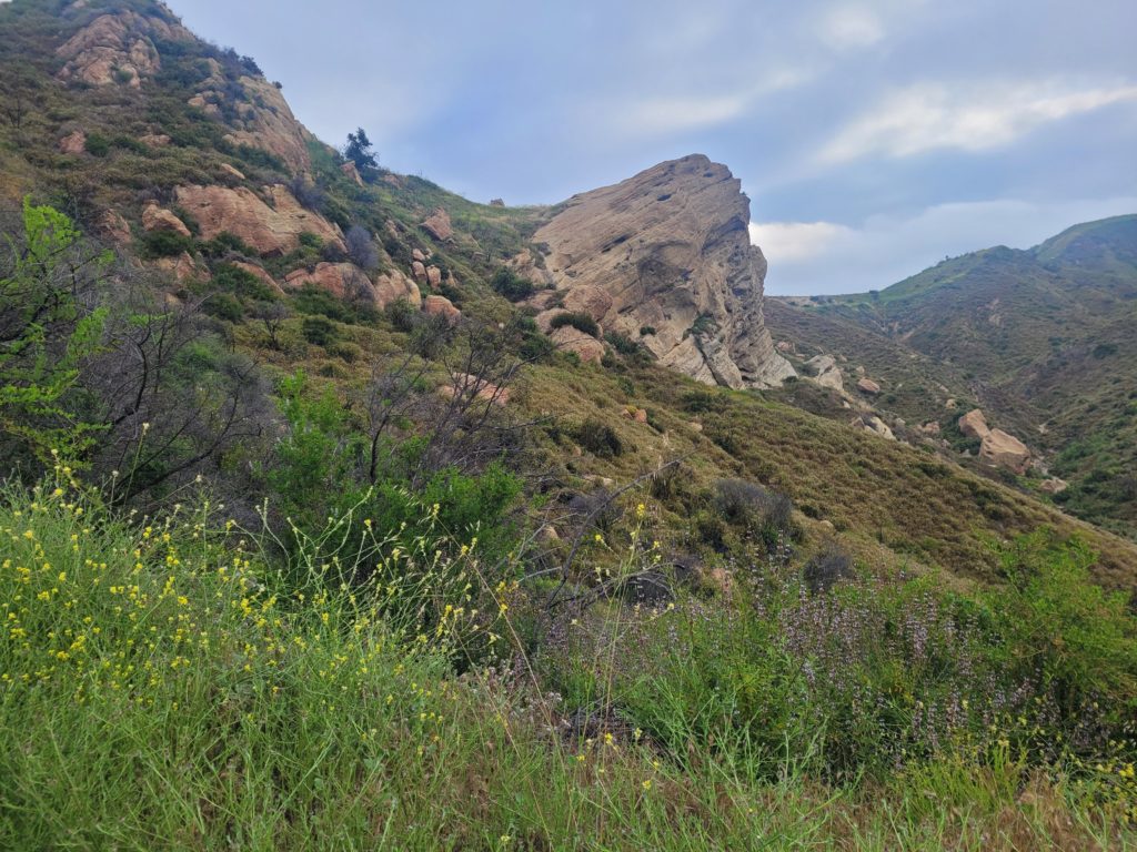
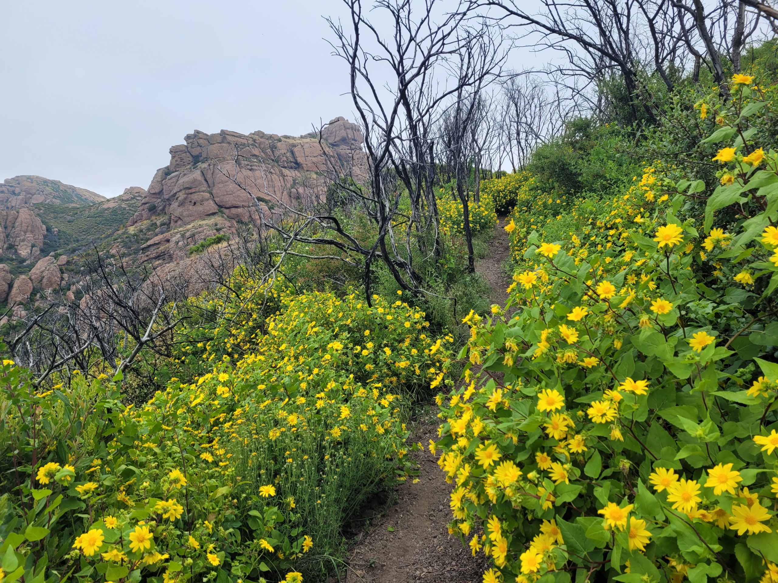
The largest ascent of the whole trail lay ahead as we climbed out of Danielson Ranch over long, gentle switchbacks that continued for six miles. Fascinating red rock formations crowned the nearby peaks, it felt like we were hiking in Sedona, AZ. Rows of desecrated black trees from recent wildfires contrasted the pink, white, and yellow flowers with red rocks in the background. Following the explosion of flora, this section was a sight to behold.
At length, we reached the top of the ridge and the trail leveled out. We stopped at a nice overlook of the ocean on Inspiration Point. It was after noon at this point, and we pushed a bit further up a short spur trail to Sandstone Peak before breaking for lunch. This was the tallest summit on trail at 3,311′. We had already hiked 11 miles and both Tyler and I were feeling some soreness in the hips. To recover, I ate one of my favorite lunches, squeezable guacamole on Nut Thins. Tyler ate his dish which he described as an LA specialty: a chicken salad packet on a raw corn tortilla. Also new for both of us were birthday cake flavored Complete Cookies, which are quite good and taste like sugar cookies with sprinkles.
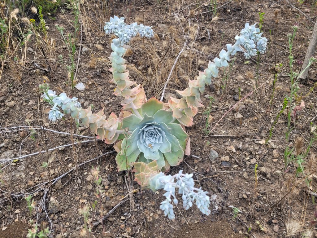
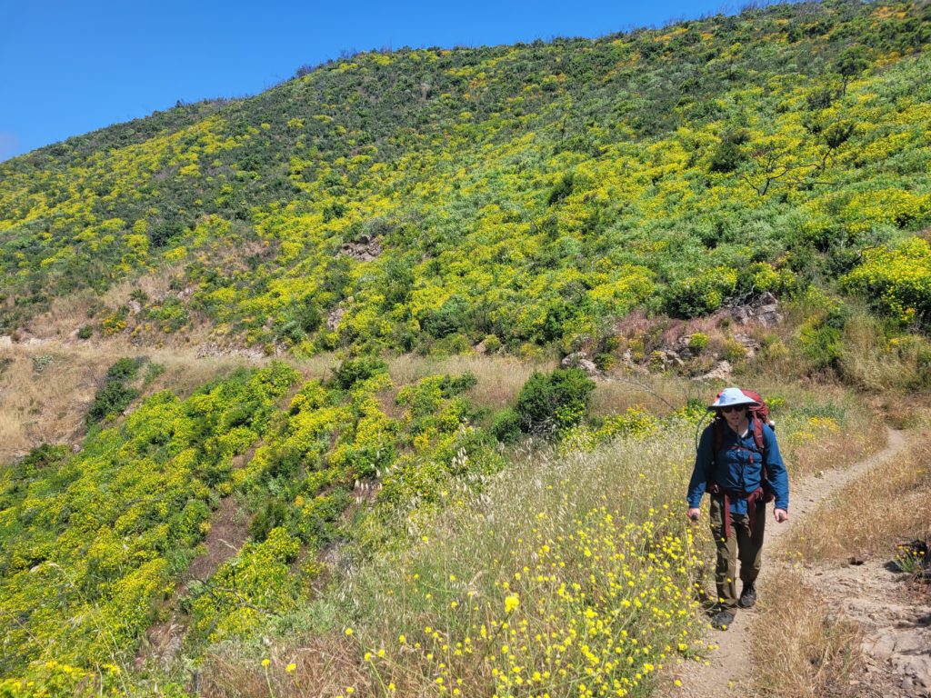
After lunch, we wove our way between the rocky peaks of Albert Mountain. The sun was now exposed and temperatures rose to the low 80s. We descended to Mishe Makwa then climbed a vibrant green hill covered in lush patches of bright yellow flowers, almost like pansies. Afterwards, we did some ups and downs along several miles of understated trail that transitioned to a dirt road. After nearly 18 miles, fatigue was starting to kick in, but stopping before finding water was not an option and we were still high above the nearby valleys.
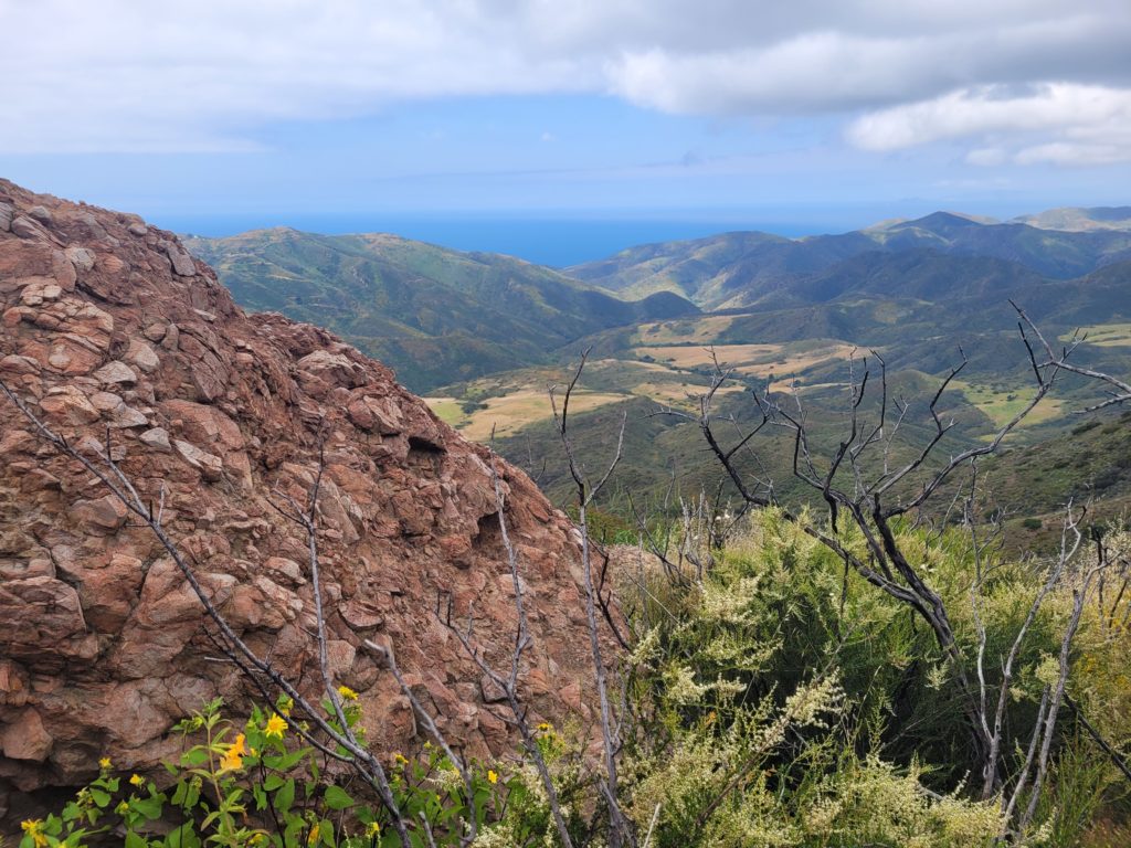
The heat stuck around past 5:00pm and the scenery became more of an afterthought with every additional mile. We were down to our final liters of water at this point. A drawn out series of (unnecessarily flat) switchbacks led us to Mulholland Highway just above Encinal Canyon. Here, we had spotty cell service, but passed on the opportunity to hail an Uber to civilization, which meant we were committing to hiking and finding a campsite for the night. After a short break, we dragged our feet towards the next road where we had heard about a spigot near a fire station. To our surprise, we came across a trickling stream a few hundred yards later, saving us from going another mile down the canyon.
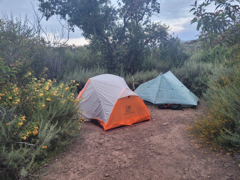
We had hiked a monster first full day, but still needed to find a place to camp now that we had water. We searched unsuccessfully along the hillside for something decent before settling on an overgrown side trail that was not quite flat but had a narrow space for our tents. It was a tight squeeze and frustrating pitch for a trekking pole tent, but I made it work. We ate some tasty Mountain House meals then retired to bed as the sun set, totally exhausted.
Day 3
Stealth site near Mulholland Highway to stealth site near Malibu Canyon Rd
Distance: 17.6 miles
Elevation Gain: +3,147′ -4,230′
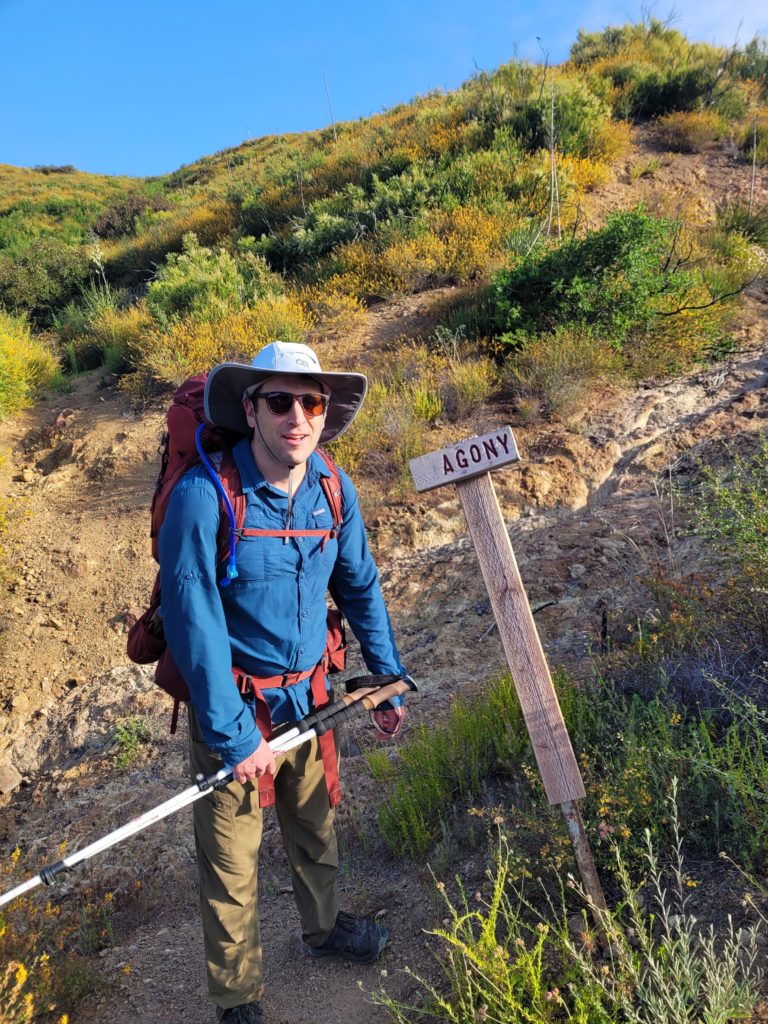
We woke up at sunrise and slipped out of sight by 6:30am, on our way east at a blistering pace. We only made it a mile before being distracted by a shiny pit toilet and the nearby fire station with a water spigot. Fully hydrated, we continued our trek along the yellow hills. Today had less total elevation gain, but it was a constant series of up and down. It was also a beautiful, cool Saturday morning so the mountain bikers were out in hordes.
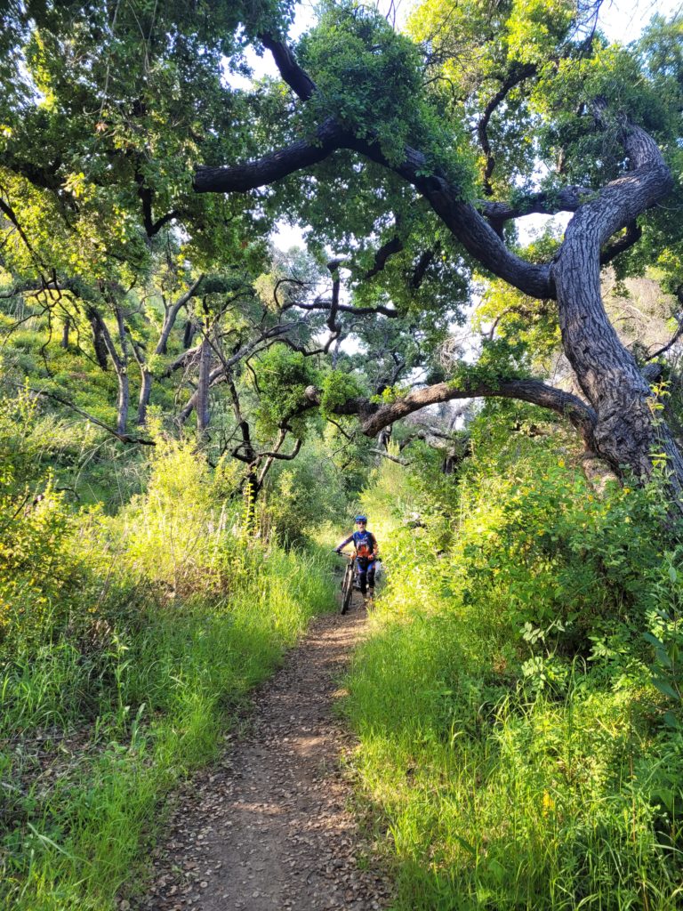
We entered a stand of cottonwood and crossed several well-flowing streams, including a sturdy footbridge across a particularly mossy creek. Abundant wildflowers decorated the trail and while it was now a normal sight, I am still blown away that California could possibly be this lush. We realized we were on pace for a “12 by 12”, starting so early in the morning and hiking consistent 20 minute miles. We barreled ahead to complete our twelfth mile by noon, then went a bit further to the Kanan Dume trailhead for lunch on a shaded picnic bench with a panoramic view.
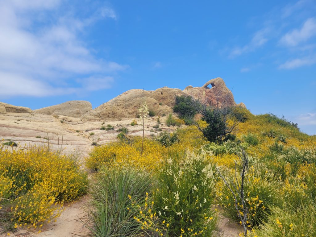
The exposed rock on the mountains took new form. We hiked through the set of a Cowboys vs. Indians film with eroded sandstone arches and random grafitti’d debris along the sides of the trail. The rock formations along the trail have been quite interesting, and the overall diversity of the landscape exceeded our expectations. One minute you’re hiking under shaded canopy, the next you feel like you’re lost in the desert.
The sun was unveiled and the heat of the day struck at 3:00pm yet again. As we worked our way along the following ridge, we saw increasingly vast views of the ocean. To the west, Point Dume protruded from the Malibu coast. To the east, the expansive shoreline of coastal Los Angeles was visible in the distance. Save the trail terminus, this was the closest we had been to the water. It was a welcome sight on the gorgeous spring afternoon.
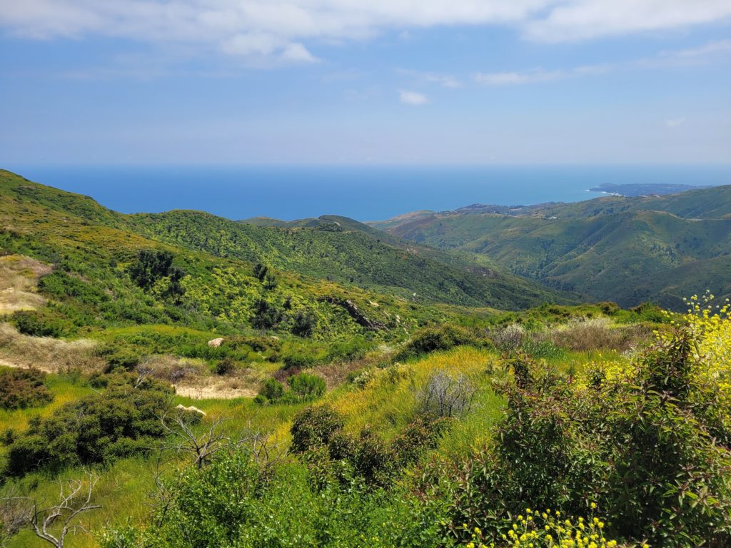
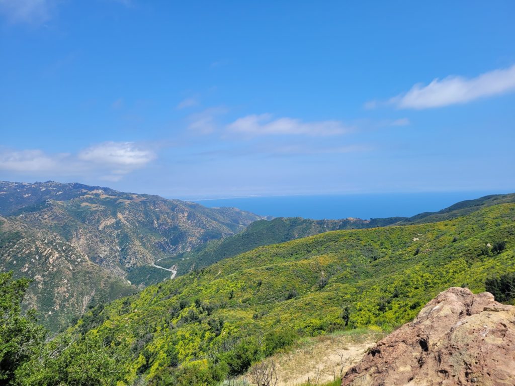
We took another break on the overlook while baking in the sun. Tyler packed some Nuun electrolyte tablets, which taste fine and work well for backpacking but we could not decide if they were the cause of our combined upset stomachs. It certainly couldn’t be the freeze-dried dinners or heavily processed energy bars we were eating exclusively…
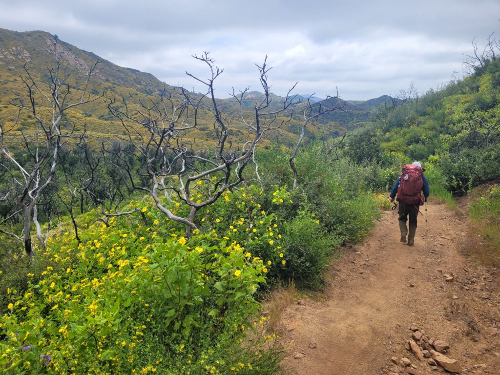
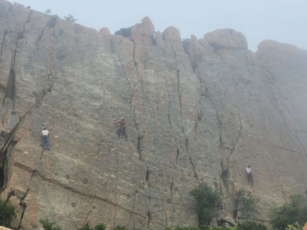
We followed the ridge away from the ocean for a few miles, then began a lengthy descent into Malibu Creek Canyon. This was one of the steepest hills of the trail thus far, exposed to the sun on sandy terrain with poor traction. We caught regular glimpses of the iconic cliffs across the vast canyon that are hometown famous by rock climbers.
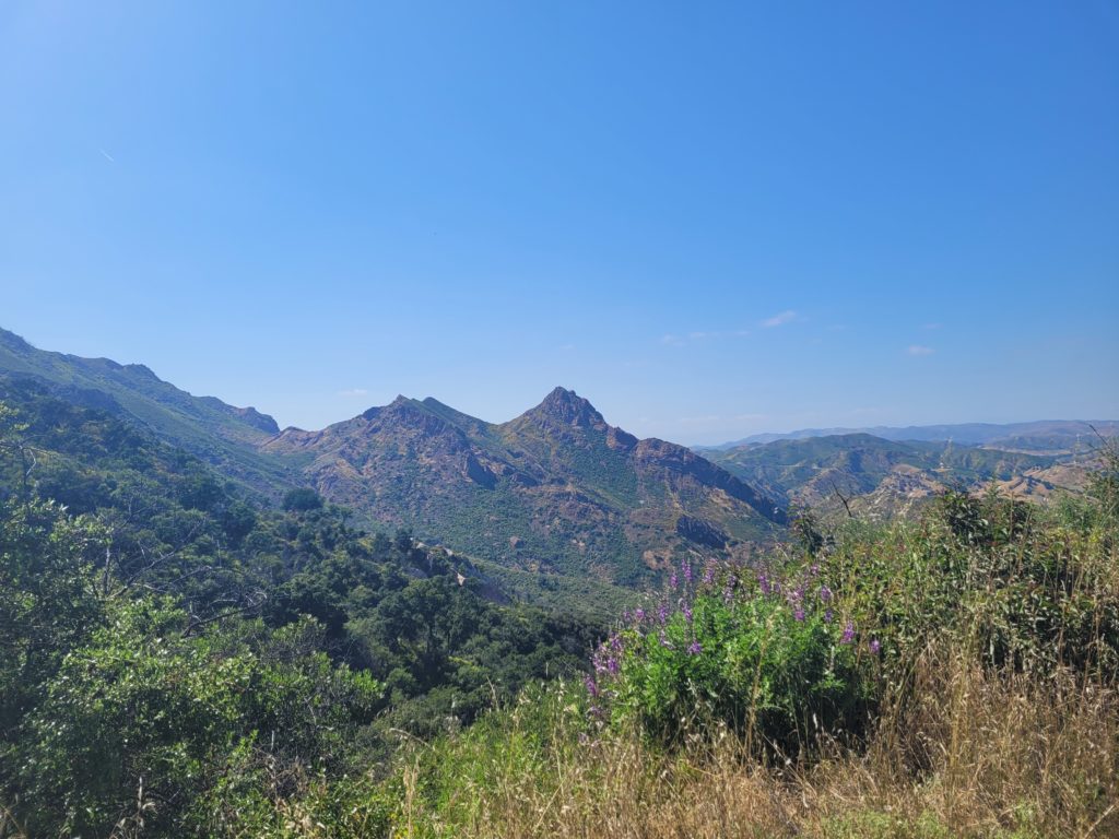
We eventually made it to the bottom to find a restroom with running water that we used to refill our bottles. We debated hiking further, as Tyler and I both felt surprisingly good, but decided to stop when we found a secluded site to pitch our tents outside of Malibu Creek State Park. The ground was covered in a thick layer of dead grass over what I assume was straight sand underneath. It was less than ideal, but we were close to water and hidden from sight, despite the noisy road. Like most road crossings on the BBT, we had cell service too. Around 6:00pm, we left our stealth camp to cook dinner on a picnic bench in a nearby parking lot then returned before dark to setup camp. By 8:30pm, we could hardly keep our eyes open.
Day 4
Stealth site near Malibu Canyon Rd to Musch Camp
Distance: 13.3 miles
Elevation Gain: +3,538′ -2,679′
We slept in past 7:00am this morning, perhaps overly confident in our stealthiness. The trail gave us a mile warmup before a 6 mile climb out of Malibu Creek Canyon. The canyon was engulfed in fog and all the morning views were shrouded, but it made for otherwise comfortable hiking. The climb itself was steep and steady. Tyler was humbled by his performance on the state capital challenge (a staple for distracting yourself uphill). About two hours later, we reached the top of the pass and took the spur to Saddle Peak at 2,792′.
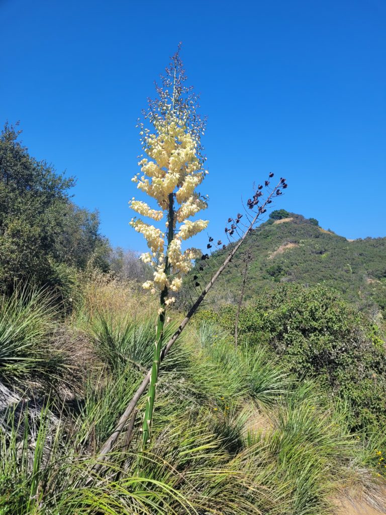
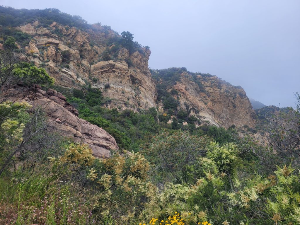
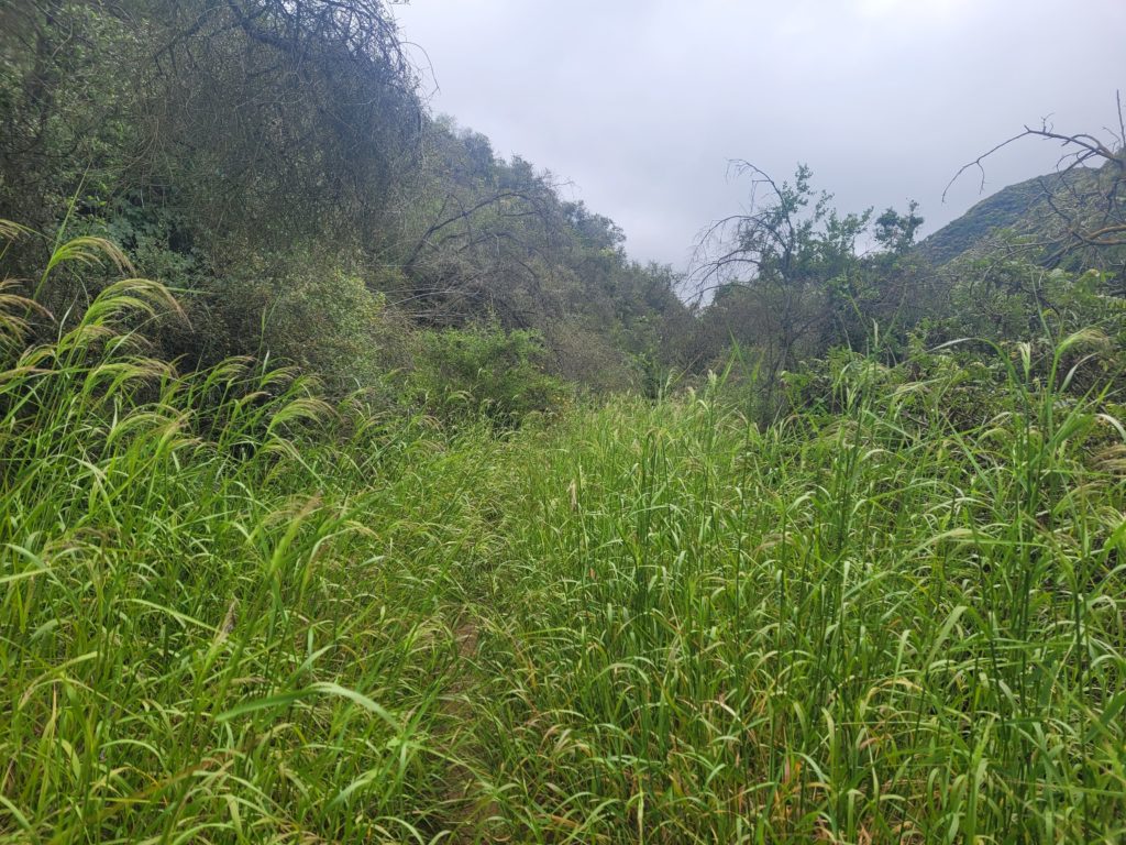
The trail eastward was the most overgrown we had yet encountered. The wildflowers were less rampant here, instead spikey green plants and wheat-like grass invaded the trail and forced us to practically bushwack at times. The trail went beneath a green tunnel and moss blanketed the rocks. Yes, in southern California. From there, we descended Saddle Peak over the course of several miles between misty mountains, eventually popping out on a road that led us into Topanga, CA.
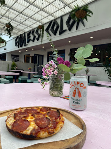
Topanga was an interesting (mountain?) town. We stopped at Endless Color for pizza and spoke to a very enthusiastic hiker bro that knew all about the Backbone Trail. He gave us advice on water, gear, and told us he actually planned to hike the whole BBT next week. When he was done talking our ears off, Tyler and I each ordered a personal pie and a beer. $15 and 15 minutes later, a comically small 6″ disk of pizza was delivered to our table. I’ll admit it was pretty good, for all three bites at least.
Afterwards we got some soft-serve ice cream. A guy in a TOOL hoody offered us some spiritual tobacco derived from the Aztecs, advertised as six times more pure than the other stuff. We declined. Afterwards, we stopped at the general store, “the genny”, to top off our snacks for our final night of camping. I found one of the more interesting snacks I’ve ever tasted: Sour Patch Kids Popcorn.
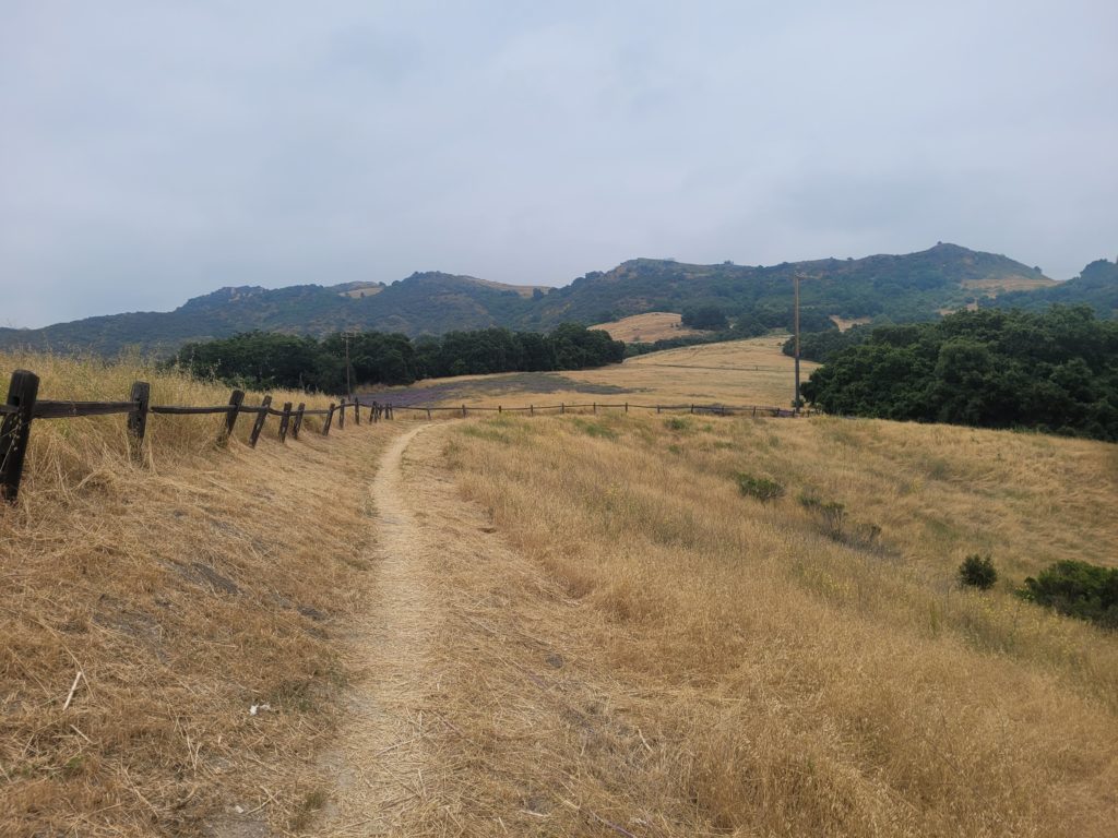
We left Topanga to knock out the last three miles of the day. The trail took us through Trippet Ranch with fields of brown grass and vibrant purple nightshade. About an hour later, we made it to Musch Camp, the second official trail campsite on the BBT. The campground had a bathroom with running water but was composed of only eight, tightly packed sites. We were surprised to see several groups of backpackers file in, most just hiking an overnight section. However, before dusk settled, a group of six car campers hauling multiple loads of gear in their arms claimed the site next to ours. Tyler and I were in our tents ready to fall asleep when they popped a bottle of wine…
Day 5
Musch Camp to Will Rogers Trailhead
Distance: 9.7 miles
Elevation Gain: +1,336′ -2,226′
Fortunately, ear plugs exist and the group did not get too rowdy during the night. We packed up early and hit the trail by 6:45am. It was another overcast morning with dense fog obscuring most of the views. The trail from Musch Camp led East for several miles through Topanga State Park, passing the impressive Eagle Rock along the way.
From there, the trail turned South and we were on our way to the finish line. We set a strong pace, eager to finish our journey. The terrain was gentle downhill for the last handful of miles, most of the challenge coming from excessive overgrowth. A passing hiker told us that a machete would have been useful for this stretch.
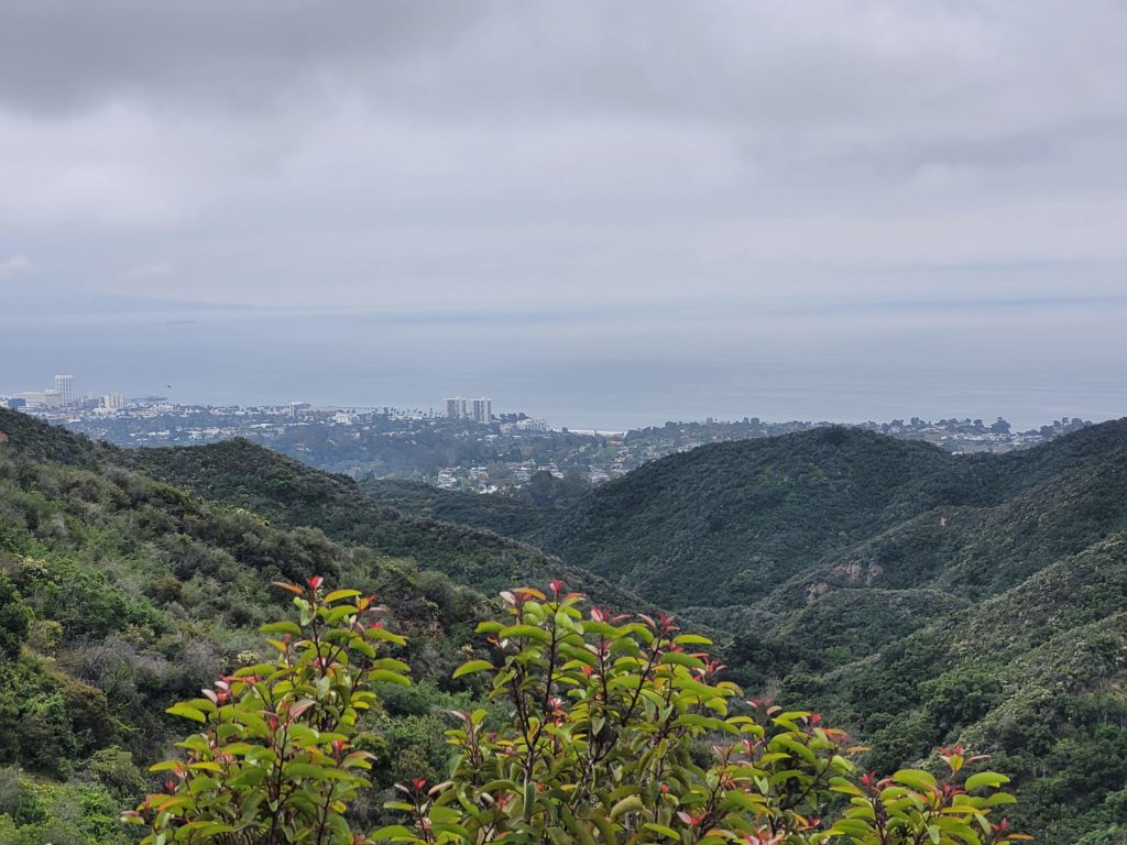
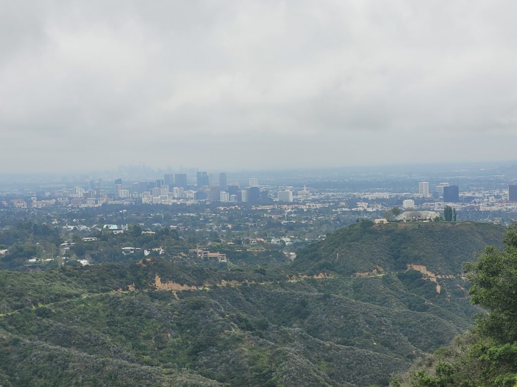
Between the hills we caught increasingly clear glimpses of the urban landscape: first of Culver City, then the more distant skyline of downtown Los Angeles, and finally the iconic coastline of Santa Monica. As the crowds grew, we knew we must be nearing Will Rogers State Park. It was a beautiful Memorial Day morning and we shared the nicely groomed trail with hundreds of locals.
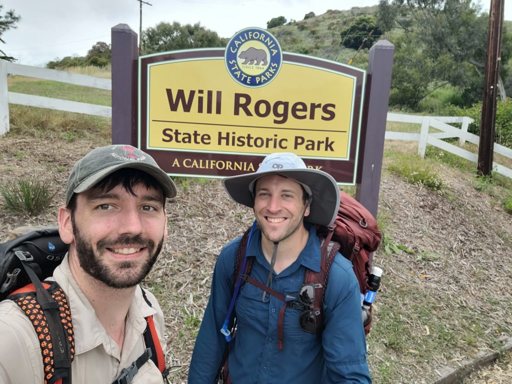
By 10:45am, we completed the drawn-out descent from the ridge and reached the state park entrance. Our hike was complete! It was slightly anticlimactic, with no Backbone Trail signage or anything to signify the eastern terminus, but we found a state park sign for a selfie and called it a win. We realized we had parked quite far and still had to walk over a mile on Sunset Blvd. to find Tyler’s car. In the process, we beat our previous record and hiked 12 total miles by 11:00am! At last, we found his car and began our journey home for a hot a shower and meal.

Tyler kicked some ass on this hike. 2nd trip ever and he hiked a 22-mile day, then an 18-mile day afterwards. Guess training for a marathon translates pretty well to hiking?