9/16 – Day 139
4.2 miles from Lake Hebron to Shaw’s Hiker Hostel
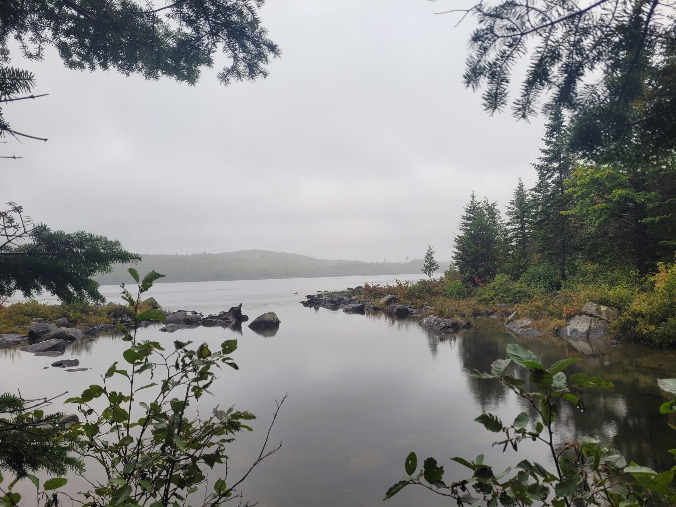
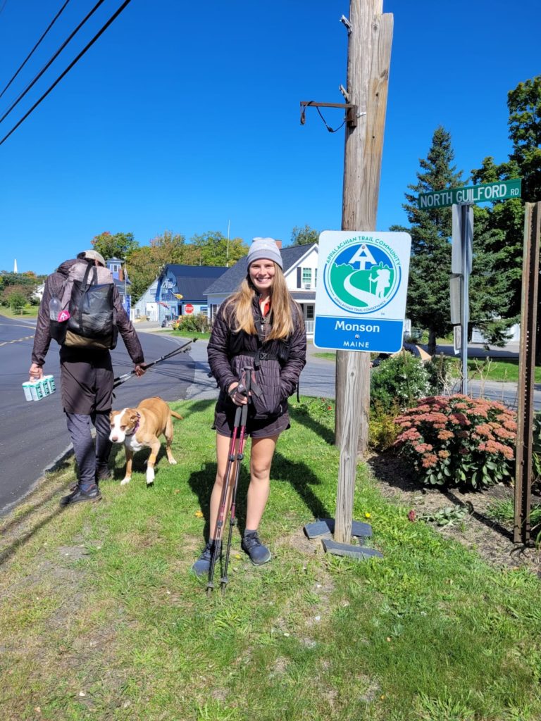
It was a quick, two hour hike to the road from our lakeside campsite. Notably, it was a chilly morning and still very windy. We began hiking in all of our layers before beginning to shed them one-by-one after we walked up the first hill. From ME 15, we hitched to Monson, ME at 10:30am. Monson is an old trail town and famous for being the final town that most northbound hikers pass through. The next 100 miles contain no towns, no major roads, and are generally considered the most remote of the AT.
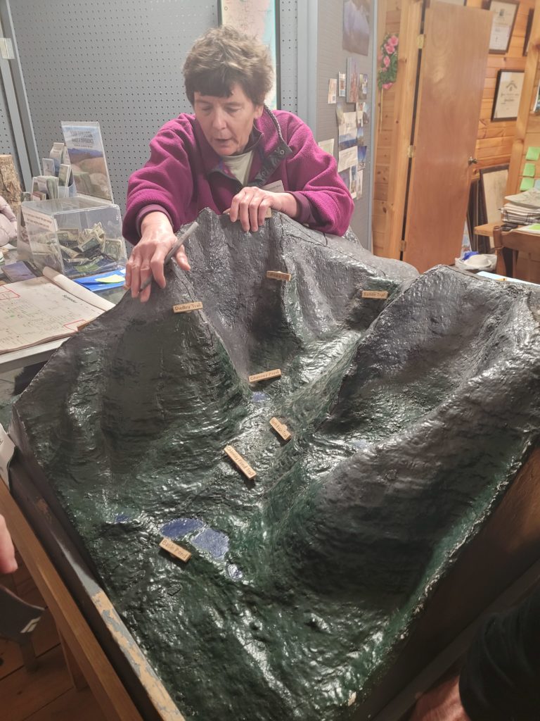
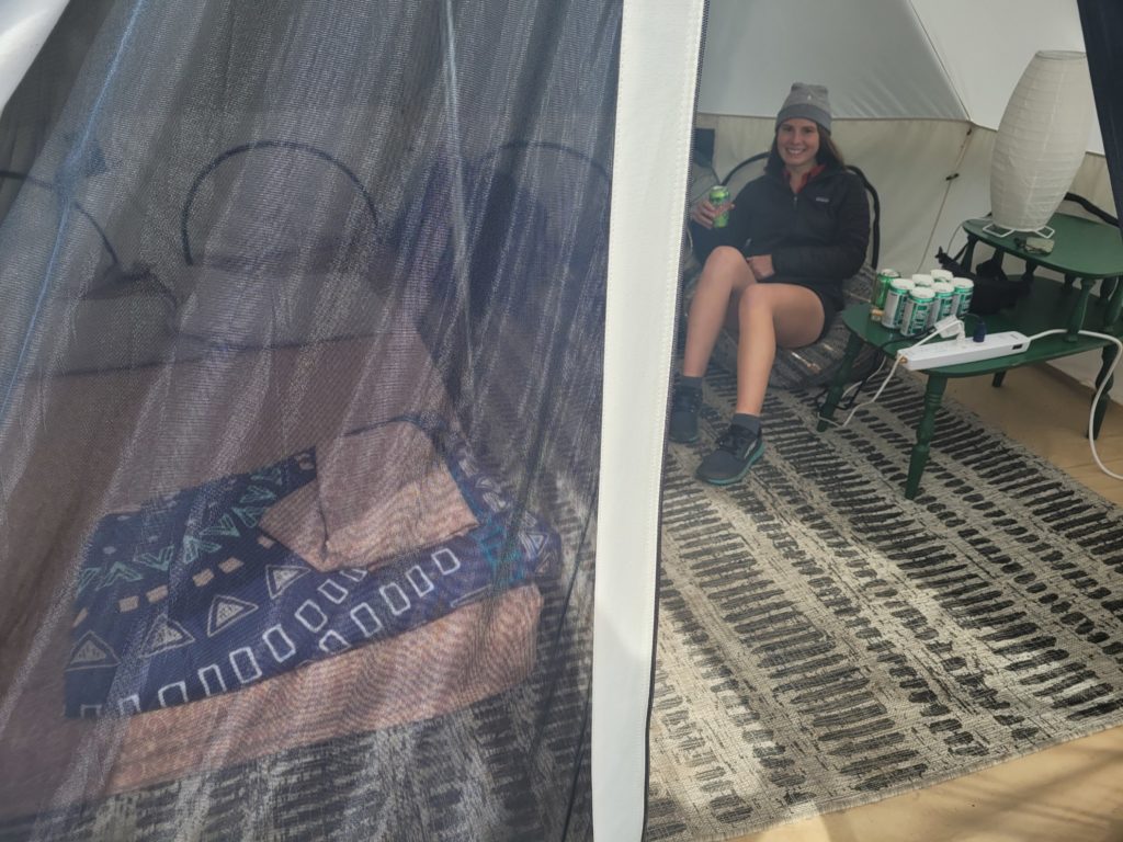
Spout, Season Pass, and I went to an Irving gas station with a decent hot food selection. Afterwards, we stopped at the AT Visitors Center and got the run down on how Baxter State Park campsites and permits work once we exit the 100 Mile Wilderness. With more information than we knew what to do with, we walked to Shaw’s so we could check-in. Spout and I reserved a yurt that was tucked away behind the gear shop. We settled in, hung out for a while in the hostel, then left again to do our resupply.
Season Pass has been calling the 100 Mile Wilderness resupply our “final exam”. Though I’ve gone on hiking trips of similar length in the past, this one felt more stressful for some reason. I purchased my food piece by piece at a combination of places: Shaw’s own resupply selection, the gas station, and a small local farm market. The haul needed to feed me for six days of hiking and satisfy both my monstrous appetite and horrible eating habits. When it was all said and done, our packs were by far the heaviest they have ever been. Here is what ended up in my bag:

Spout and I spent much of our evening relaxing in the yurt, not feeling particularly social during our final hostel stay. We watched some YouTube videos together and began to plan the logistics of our flight home. The temperatures dropped into the 30s overnight and sleeping in the unheated yurt felt no different than a cold night on trail. It was still a unique stay nonetheless.
9/17 – Day 140
9.3 miles from Shaw’s Hiker Hostel to Thompson Brook
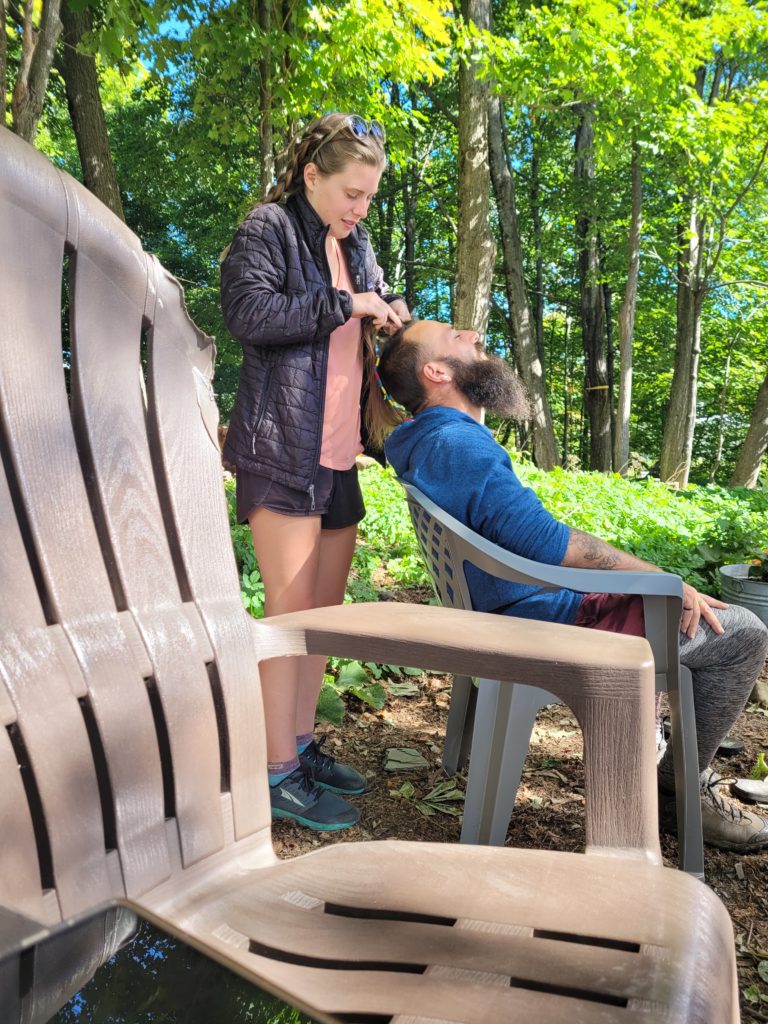
The hostel was bustling early in the morning. Over two dozen hikers crammed into the dining room to escape the chill and wait on breakfast. The hostel crew whipped up eggs, strips of bacon, and countless rounds of blueberry pancakes. We ate well, then spent most of the morning sitting by the fire, enjoying our last few hours of civilization before finishing the trail. Spout busied herself by braiding fellow hikers’ hair.
We shuttled back to the trail at noon and started north into the 100 Mile Wilderness. Immediately, we noticed that the wilderness was not-so-wild. We crossed a gravel road a few miles in and passed a group of day hikers heading south carrying a newborn baby. Furthermore, Shaw’s Hostel offered slackpacking and/or a resupply drop in the middle of the “wilderness”, which we declined.
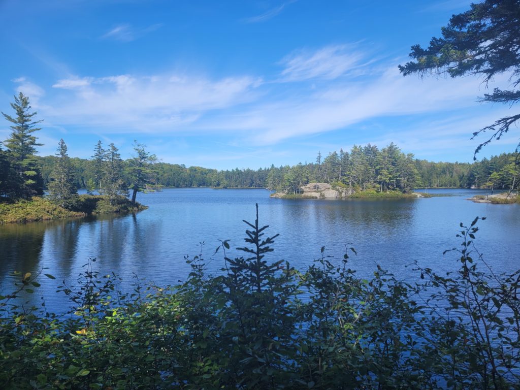
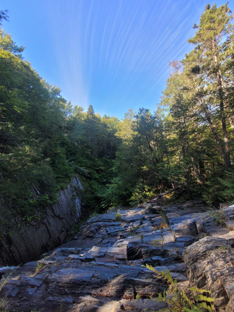
In any case, the landscape was undeniably scenic. As we went, the trail traversed rolling hills with a beautiful pond awaiting us after each mile. We took a lunch break at Little Wilson Falls, which was a stunning, sixty foot waterfall between a slate canyon.
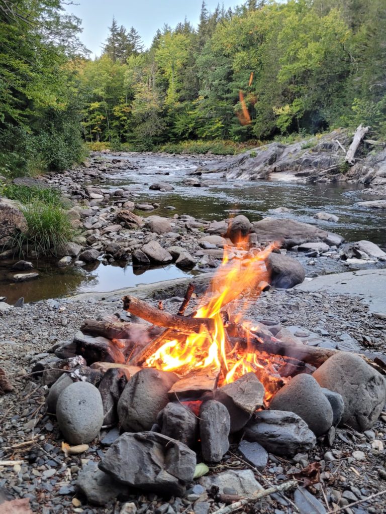
Not much later, we came upon a nice campsite along Thompson Brook. We decided to take advantage of the hour of remaining daylight to pitch camp and build a fire on the rocky peninsula along the water. Season Pass was with us and we reflected on our journey, cherishing every hour remaining to be here and now on this magnificent hiking trip.
9/18 – Day 141
16.7 miles from Thompson Brook to Chairback Gap Lean-to
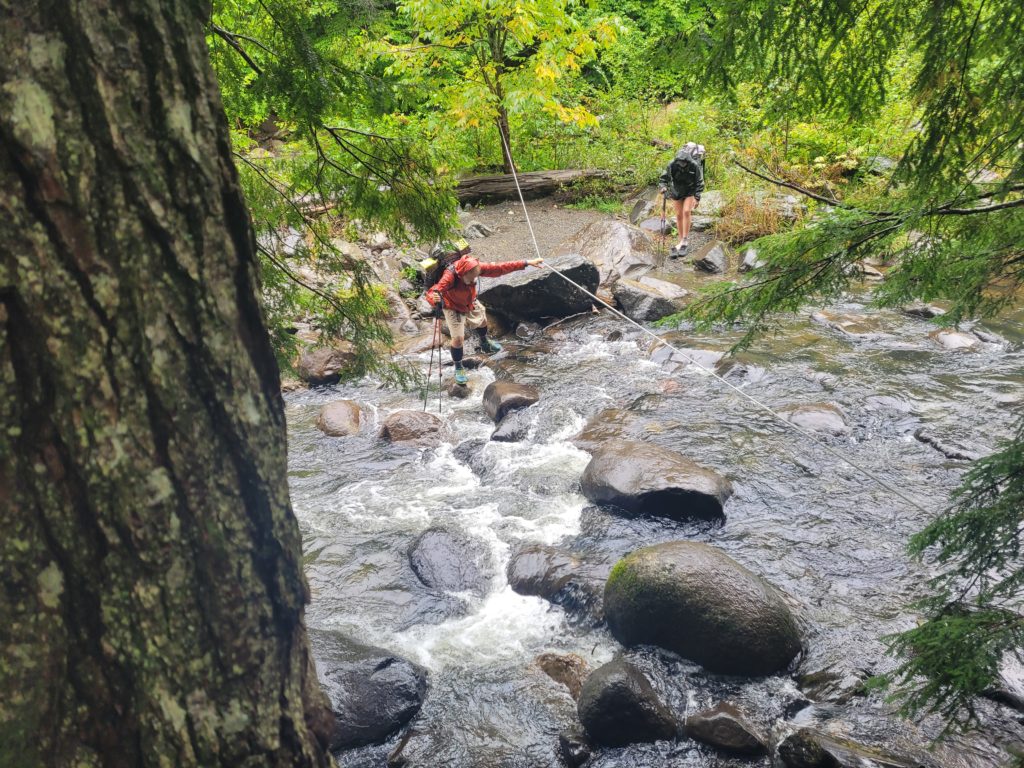
It started raining sometime around 5:00am and began picking up just as we were getting ready to leave our tent at 8:00am. Packing up in the rain is the absolute worst. We were nice and soggy to start the day off. Some of the upcoming streams that could normally be crossed with an easy rock hop were now heavily flowing and we were forced to ford Big Wilson Stream.
A few miles later, we crossed a gravel road with a sign pointing 0.2 miles to trail magic. Skeptical, but unwilling to miss even a slight chance of free food, we followed it to a small cabin deep in the woods. There we met Birdman, who gave us some drinks and sheltered us from the rain on his porch. He shared some interesting tidbits about the trail with us and told us how he has been doing trail magic there for nearly a decade.
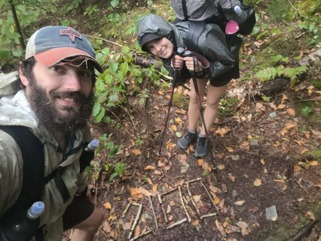
We left the cabin and made our way up the next range of mountains. Shortly afterwards, we passed the 100 mile mark, as in we now had less than 100 miles remaining of the Appalachian Trail! This took precedence over the 2,100 milestone only six miles further ahead.
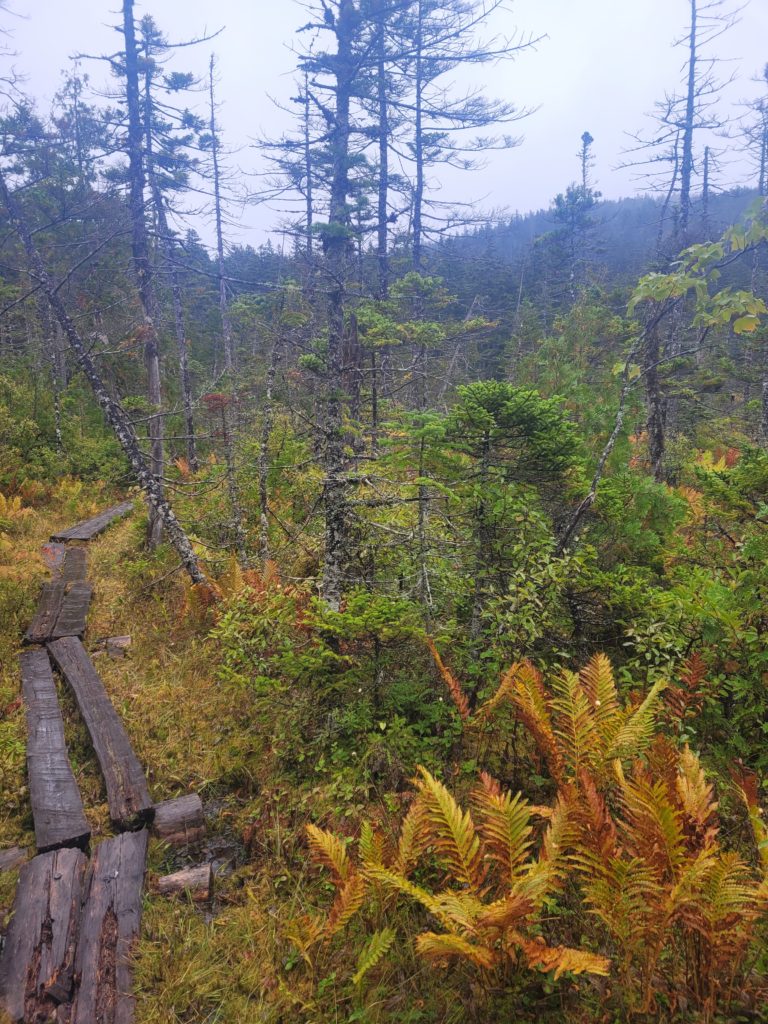
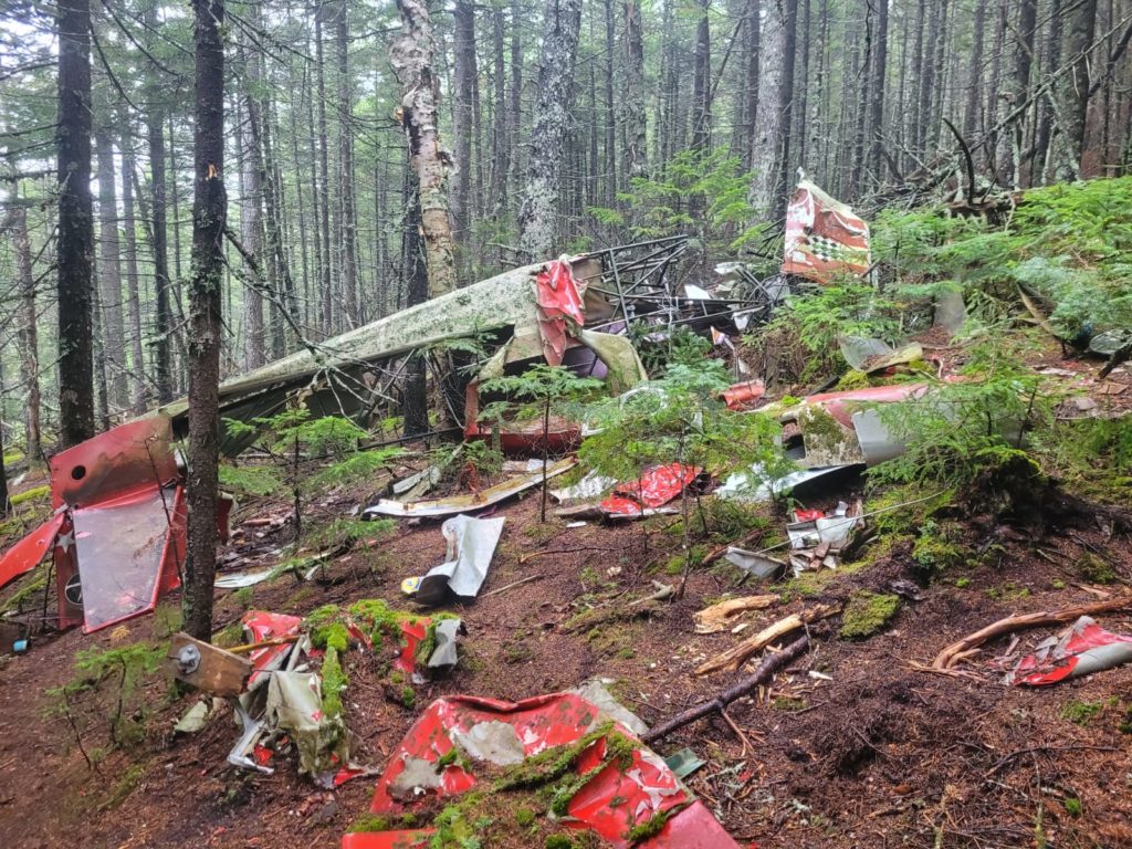
The rain continued steadily as we followed several miles of gradual ascent to the summit of Barren Mountain. The entire mountain was engulfed in a cloud, so there was not much to see until we traveled further along the ridge, through a bog with loaded with ferns and pitcher plants, past the remnants of a plane crash in the 1980s, and onto the Third Chairback Mountain.
The rain halted briefly and we could see pockets of fog laced between the nearby mountains. The way it settled felt like we were standing on another planet. Not much later, the rain returned and followed us over Columbus Mountain and down to the Chairback Gap Shelter.
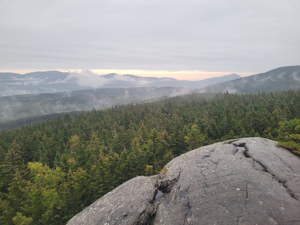
It was dark, cold, and very wet by time we made it to the lean-to. We were devasted to find the entire shelter occupied and most of the good tenting spots taken yet again. We eventually found a sufficient spot and quickly pitched our tent in the rain, totally soaked by time we stole for cover. It was a miserable day regarding the weather, and neither of us expected this final stretch to be the most heavily trafficked section of the trail.
9/19 – Day 142
18.7 miles from Chairback Gap Lean-to to West Branch Ponds Rd
In a way, I’m glad that the AT made our final week so difficult. If we were isolated in this beautiful wilderness with perfect weather and the insatiable lure of Katahdin pulling us along the home stretch, I would never want to leave. Instead, we wake up cold and wet, put on our cold and wet clothes, and pack up knowing we are only going to get colder and wetter as the day progresses. Disregard what I wrote two days ago; Katahdin cannot come soon enough. Everything is mud, the views at ponds and mountains have been exclusively white fog, and I am one unhappy camper.
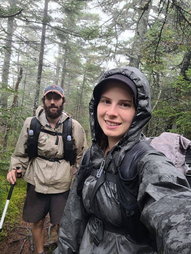
At least, the terrain has been quite manageable. Despite a 9:00am start, we sped through our morning miles as our bodies heated up. We forded another stream on our way past the Gulf Hagas trail, then stopped for a break at the Carl Newhall Lean-to. It was only 2:00pm and we saw a group of section hikers claim the shelter to themselves. Since we are late risers who prefer to hike late in the day, we know our odds of finding an open spot in the shelters are practically zero. We were in some sort of bubble now. Still, we commited to hiking over the the next range of mountains to see what happened.
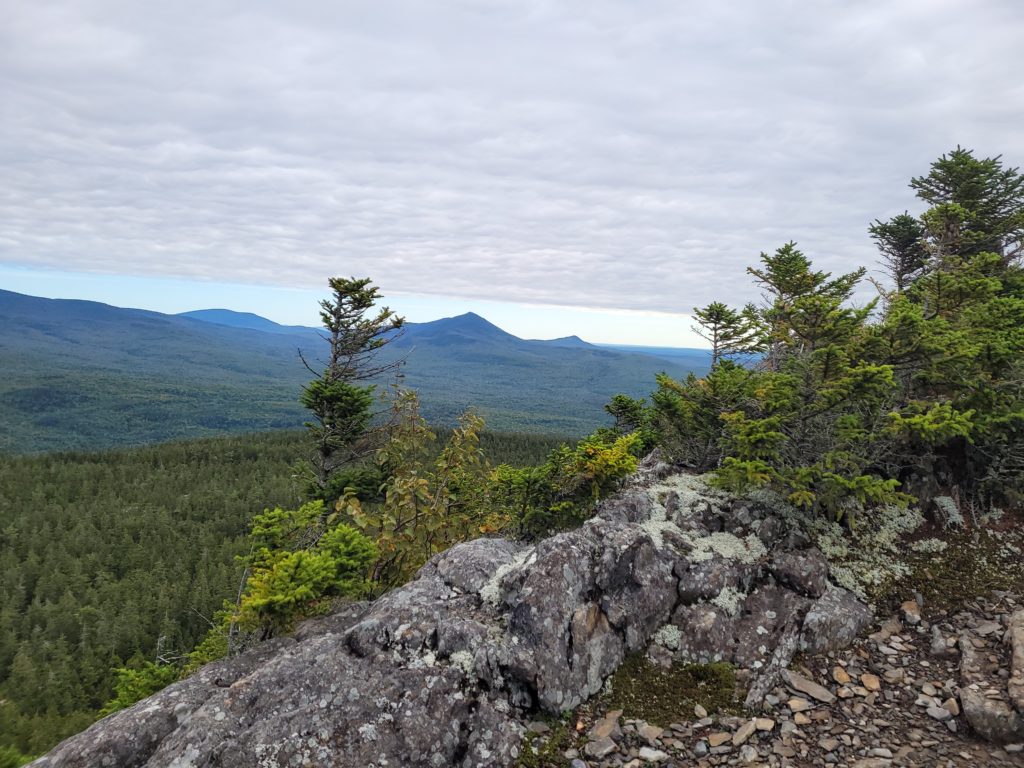
The rain came and went in small pop-up showers and we have abandoned all hope of ever seeing the sun again. The first climb to Gulf Hagas Mountain was gradually laid out in switchbacks and masterfully crafted rock stairs. Spout’s pace and mine were in sync and we easily knocked out Gulf Hagas, plus the consecutive West Peak, Hay Mountain, and Whitecap Mountain. Whitecap is the final significant mountain before Mt. Katahdin, which hikers heading north can usually see for the very first time. At the summit, we could not see her glory, but we did get to feast our eyes on a rather pleasing tone of cloud white.
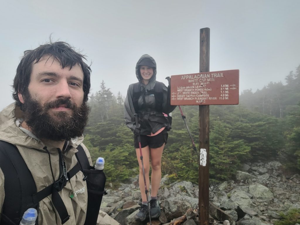
Unsurprisingly, the shelter at the bottom of Whitecap Mountain was full. We filtered water from a crystal clear pool in front of the shelter at the base of a short waterfall, then continued hiking to find a stealth site. The skies opened up once we made it another mile to West Branch Ponds Rd and we were lucky to find a spot before getting too drenched. Frustrated that we had to spend another night in our soggy tent, we slept restlessly listening to the echo of heavy raindrops slam our tarp and spray mist of condensation into our faces.
9/20 – Day 143
18.1 miles from West Branch Ponds Rd to Antlers Campsite
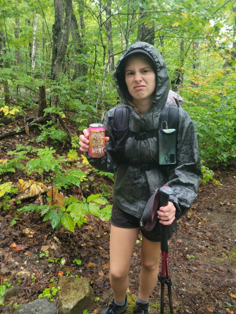
It poured the entire night and continued until nearly 4:00pm. Being dry at any point in our lives felt like an illusion. The Great Lake of Maine had formed in the bathtub floor of our tent so our sleeping pads were basically floating on an inch of water. The Duplex just handles heavy rain with east coast humidity so poorly. We stalled the demoralizing packing up process in the morning by playing a few games of Yahtzee on my phone. After that, we ripped off the Band-Aid and crawled into the cold rain. Once you start moving, it is not so bad (you tell yourself). Spout tried to numb herself by drinking a can of sangria. Before long she was singing original songs to brighten the mood.
A few minutes into the day, I stepped on a floating log over a large puddle that rolled out, forcing my step into ankle deep water. It did not matter much anyway, as we had more stream crossings ahead that ensured our feet would stay wet for the week.
We took a break in each shelter we passed until we got cold sitting still for fifteen minutes and had to continue hiking. Morale dropped rapidly, along with temperatures, and so the singing stopped. The high was in the low 50s and conditions were ripe for hypothermia. We’ve already met one hiker who found himself hypothermic in the hospital a few days ago.
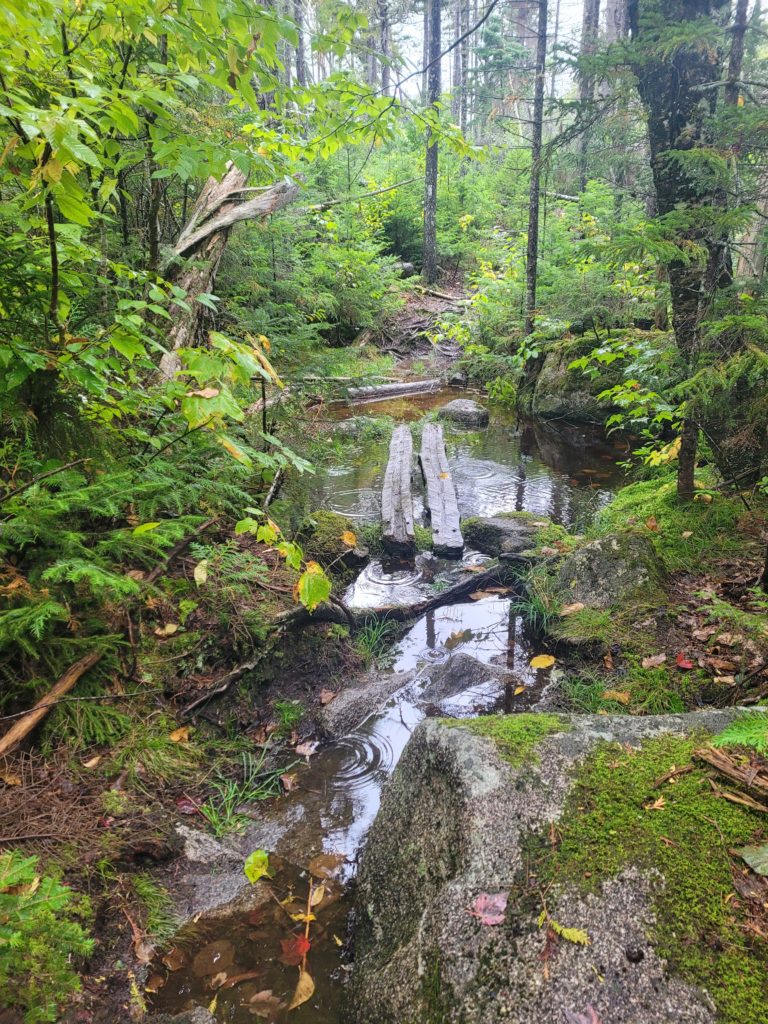
The easy terrain was the only saving grace. Even then, much of the trail was flooded. We passed several bogs and got to see a beaver paddling about in one of them. The rain slowed and eventually halted a few miles before we reached Antlers Campsite, situated on the beautiful Jo-Mary Lake.
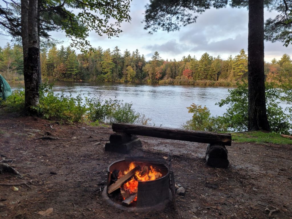
Some hikers named Pipes, All Night, Skipper and Potato somehow got a fire going and were drying off their soaked garments. We decided to join them and setup nearby. They made for great company to bond with over our struggles. Everyone was as grumpy as we were in the morning, but the fire had revitalized us. Well except All Night, who had some pretty severe trench foot going on.
9/21 – Day 144
18.7 miles from Antlers Campsite to Pollywog Stream
The cool breeze from across the lake dried our gear while we slept. There was no rain overnight or for the entire day, but the skies were overcast. We left camp at 9:00am with the goal of making it as far as we could to shorten the following day’s hike to Abol Bridge. The morning hike was totally flat and brought us to a sandy beach along Lower Jo-Mary Lake. Shortly after, we passed Pemadumcook Lake, known for providing one of the first close-up looks of Mt. Katahdin, but it was still too cloudy for us to see much. While we were resting on a rock, a black mink sprinted past us.
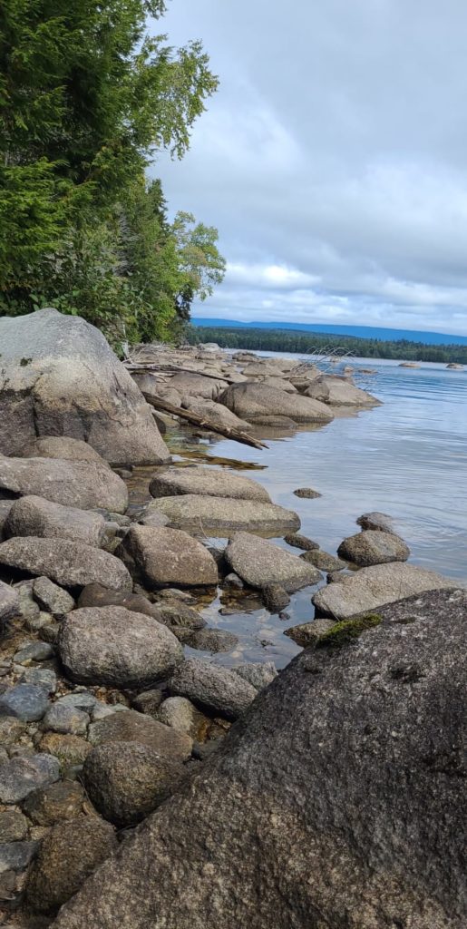
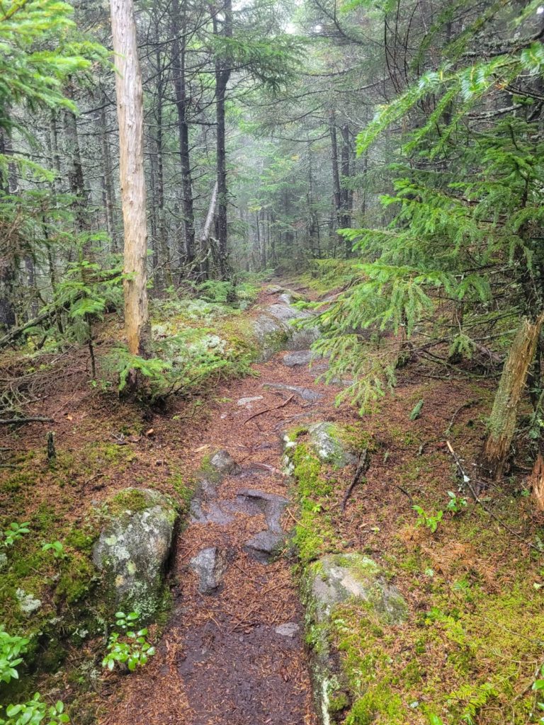
From here, the trail followed parallel to Nahmakanta Stream for five miles. There were frequent outlooks over the water and the leaves from the trees lining the bank had already begun to turn. It was still early in the season, but the vibrant fall colors made for a pleasant hike. The trail was particularly rocky and rooty but was gentle enough for us to make decent time reaching Nahmakanta Lake.
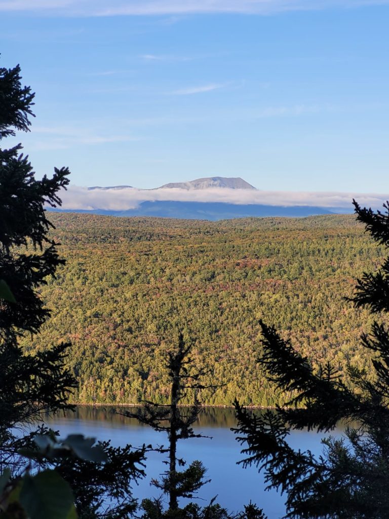
We continued along the west shore of the lake for a few more miles before making a short but surprisingly steep climb to Nesuntabunt Mountain. At the summit, we finally got the view we were looking for. Briefly, we were choked with emotion as we took in the magnificent sight. Everything we had worked for over the past four months led to this. Mt. Katahdin, the northern terminus of the Appalachian Trail, stood before us. And she stands alone.
We made our way down the mountain a bit slower than anticipated. Spout was not feeling well and suggested we stop short and make up the mileage tomorrow. We night hiked a mile to a campsite along the Pollywog River. It was a cold night and rain was imminent.
9/22 – Day 145
18.0 miles from Pollywog Stream to Abol Pines
Thunderstorms swept the area overnight and we woke up to a torrential downpour with louds cracks of lightning around us. Even worse, we could not idle to wait out the storms. Mostly because the store & restaurant at Abol Bridge campground closed at 6:00pm, and partly because we knew the rain was forecasted to continue for quite a while. And boy did it continue. Katahdin was throwing everything she had at us, enraged that these two unlikely travelers had showed up on her doorstep.
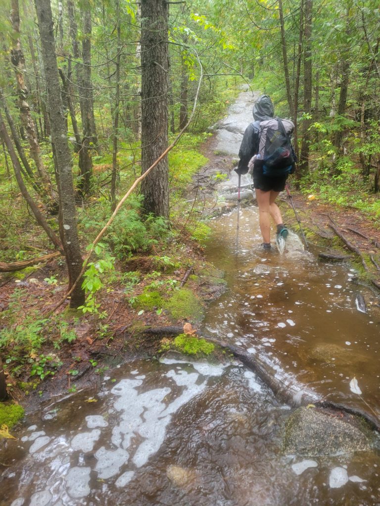
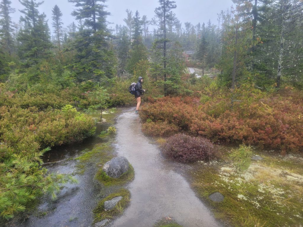
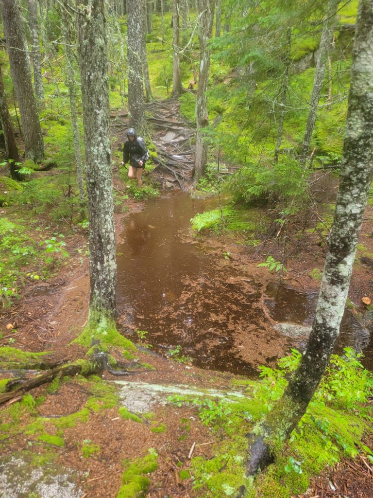
The trail was barely recognizable, we just followed the river of water, sloshing our way forward at a demoralizing pace. We took only one fifteen minute break before covering nearly a dozen miles over slippery roots and rocks and shin-deep puddles. Eventually, we followed a totally washed out trail up Rainbow Ledges. The mixture of colors between the minty reindeer moss, bushes of bright red paintbrush, and the spotted leaves was fascinating, but we were not in a very appreciative mood.
We were aware of every passing minute, the opposite of how you want an eighteen mile slog to progress. At length, we made it to the Hurd Brook lean-to and had a half hour of relief under cover. There was one final push remaining and it took every drop of willpower to muster up the courage to leave. It was concerningly cold given how wet it was and it felt like our minds were not fully functional. We desperately tried to distract ourselves with mind-numbing word games like Would You Rather. The truth is, we were so ready for the trail to be over.
Finally, we made it to Abol Bridge around 4:15pm, the exit of the 100 Mile Wilderness. We plopped down on the porch of the restaurant and took turns changing in the bathroom into whatever dry clothes we had remaining. A burger and fries were in order. After eating, we purchased a handful of overpriced junk food from the store’s poor selection and grabbed some firewood to boot. The rain was beginning to slow down at this point. Socko and Bad News made space for us in one of the shelters at Abol Pines campground. We had time to whip up a fire for a few hours before the rain returned and forced us back under cover.
What’s next?
Only our final two days of hiking in Baxter State Park!

