9/9 – Day 132
14.3 miles from Little Swift River Pond to Redington Stream Campsite
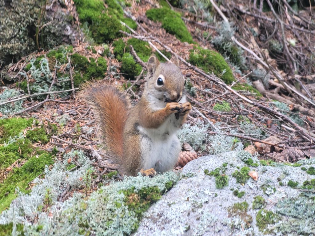
Our tent was hit with an aerial assault in the early morning. Pinecones! Red squirrels were loosing a barrage of cones from an overhead tree, slamming into our tarp and landing on the ground around us. Whether we were caught in the crossfire of an inter-species conflict or if the squirrels were initiating phase one of eliminating all humans, I’m still unsure.
We were lucky to escape with our lives and quickly began hiking along Little Swift River Pond and down past South Pond shortly after. It was a muddy, but otherwise easy shot to Route 4 where we hitch-hiked to Rangeley, ME around 11:00am. We resupplied at an expensive IGA, slammed some ice cream, and walked half a mile to the center of town near the beautiful Rangeley Lake. We grabbed burgers, pizza, and pints at Sarge’s Pub and I did some work on the website instead of talking to Spout.
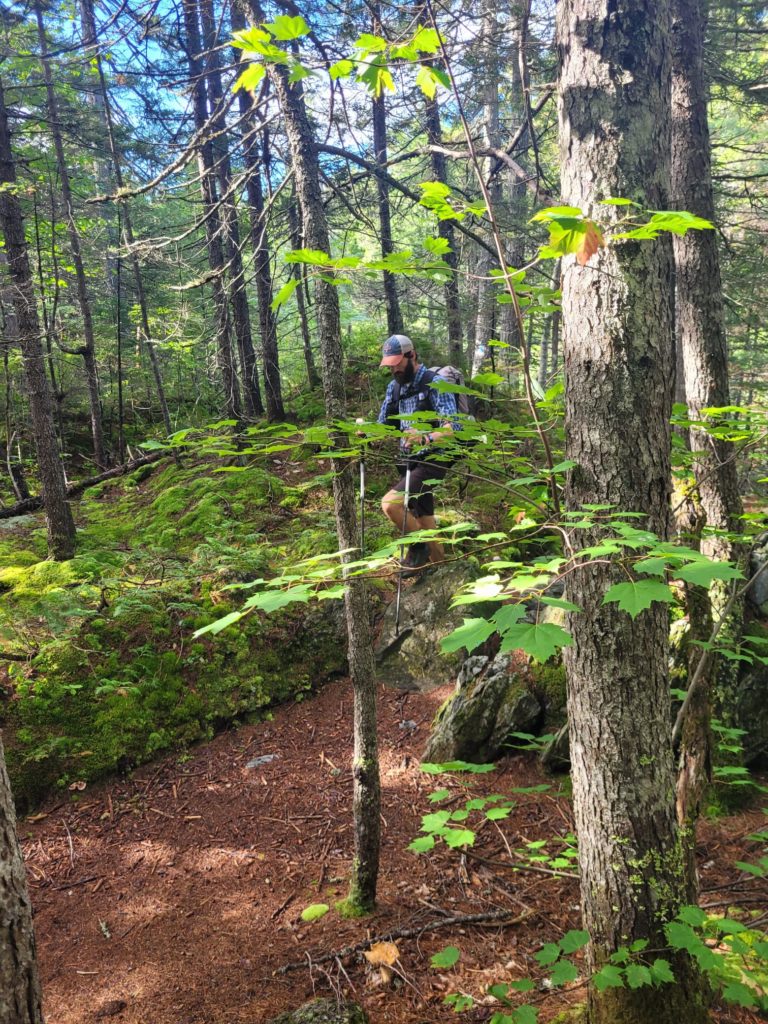
Another hitch put us back at the Route 4 parking lot at 2:00pm. We were ready to tackle Saddleback Mountain, and needed to make it past the three mile alpine zone before we could camp. Time was of the essence. Except, there was trail magic at the parking lot courtesy of Chicago Mike. Our friends Season Pass, Stryder, and P.I. were already there hanging out. An hour and two beers later, we managed to break away and start heading up the mountain when we ran into another, more elaborate trail magic setup by three ladies who were Maine Wilderness Guides. Another hour was wasted meeting interesting people and eating freshly baked banana bread when it could have been better spent walking.
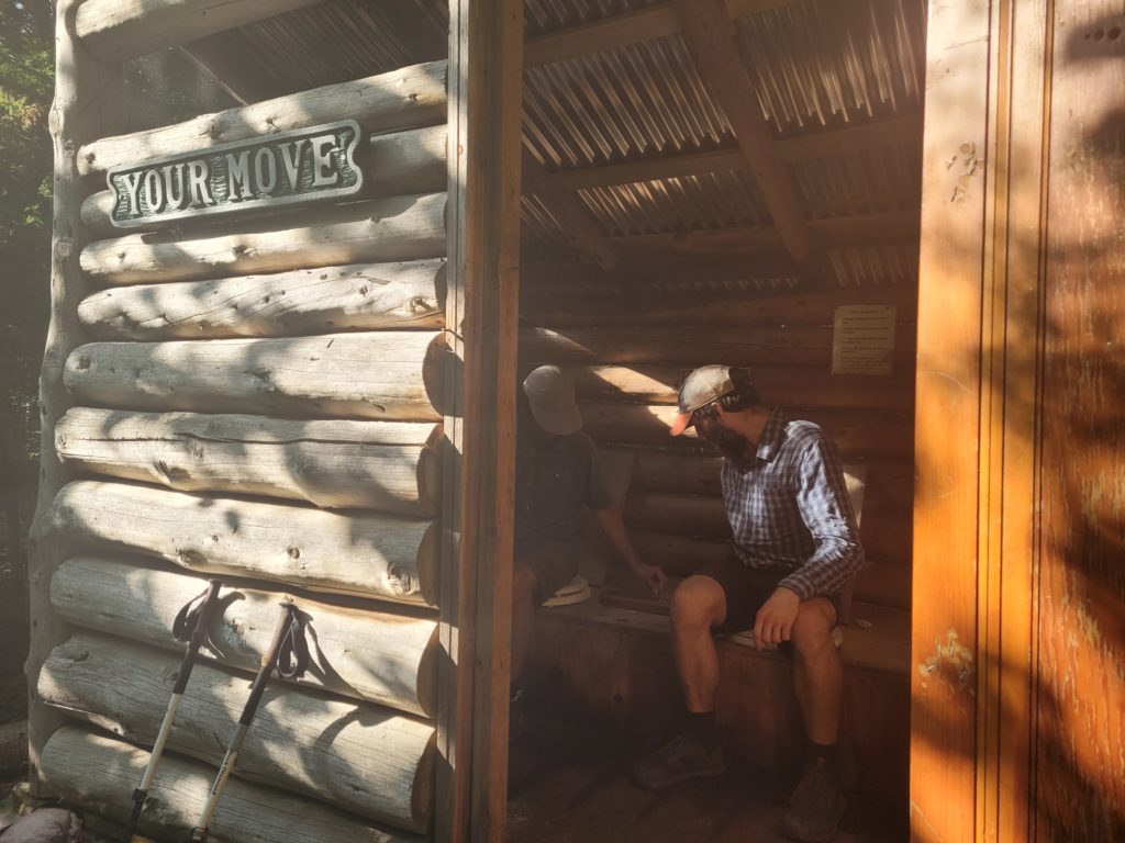
At last, it was after 4:00pm and Spout, Season Pass, and I were still commited to the climb. But first we made a brief detour at the Piazza Rock Lean-to. A famous pit privy had two pilot-to-copilot toilet seats with a cribbage board situated between them so you could duel your tramily while taking a dump.
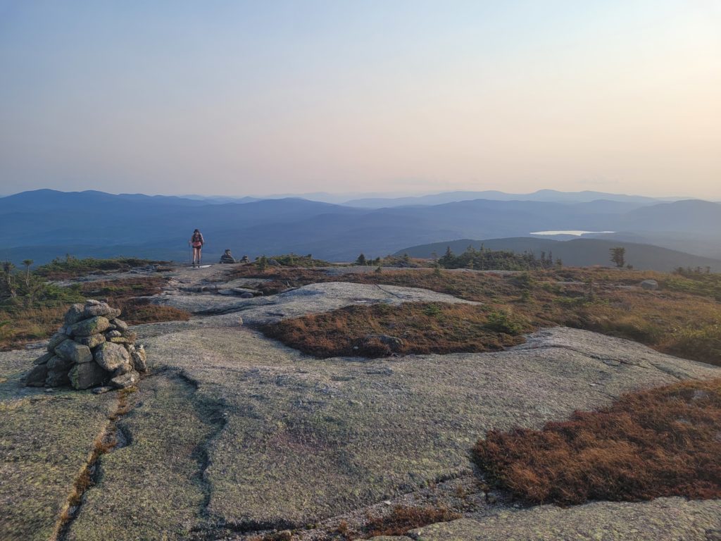
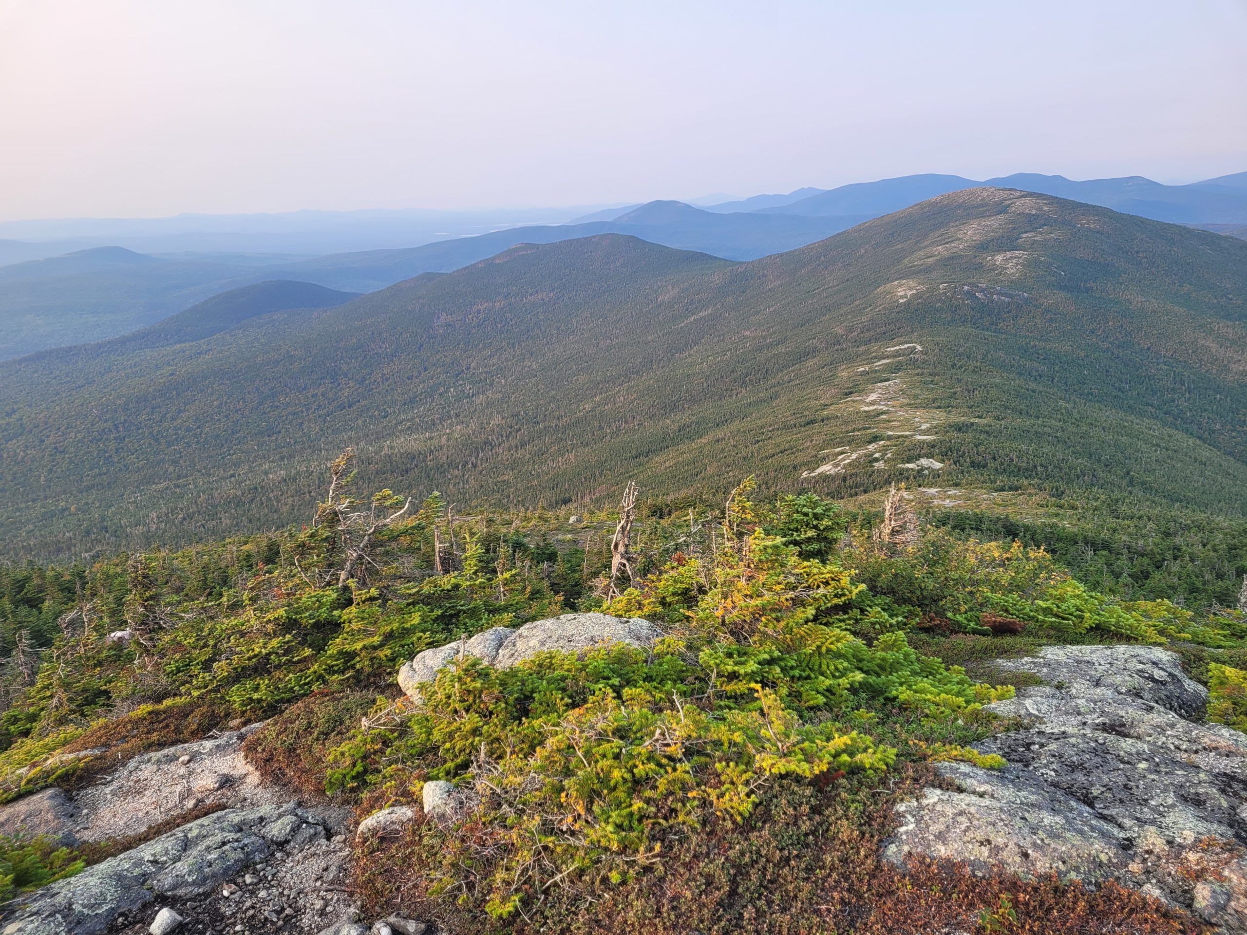
We continued up the mountain, passing even more secluded ponds before the grade steepened and we popped out of treeline. It was a clear day without clouds, though a tad hazy. The open face of Saddleback Mountain had awesome views of distant mountains and lakes glimmering under the golden sun. At the summit, we got an even wider view of the landscape, as well as the ridge (or saddle) leading to the double peak, The Horn. This section was on par with Franconia Ridge as far as beauty, and had the benefit of very few hikers. Simply incredible.
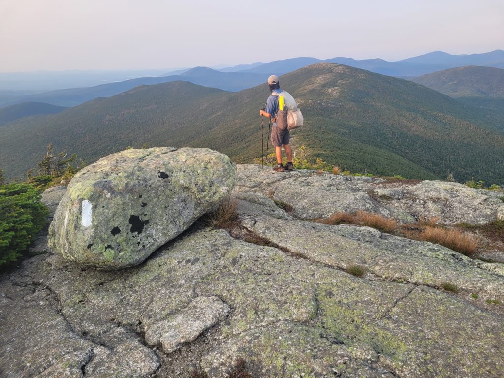
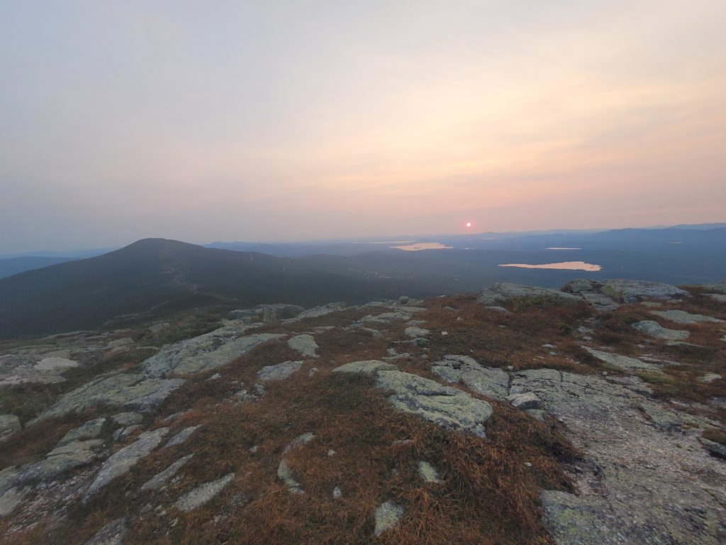
As we hiked the saddle, the sun slowly set and transitioned into a ball of deep red that we could stare directly into. At the peak of The Horn, we watched the last sliver of the red circle dip behind the mountains in a satisfying pop. Then, we realized we had to hike down in the dark. We stumbled our way a half mile down some sheer rock slabs, re-entered treeline, and made it to Redington Stream Campsite. It was supposedly haunted, but we heard no ghouls or goblins, just more pesky squirrels running haywire around our tent in the morning.
9/10 – Day 133
16.8 miles from Redington Stream Campsite to Crocker Cirque Campsite
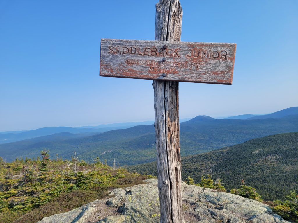
We started the morning with a short haul up Saddleback Jr. that gave us a cool perspective of The Horn. Despite the lesser Saddleback climbing like Weinie Hut Jr., we both felt like we had to visit Weinie Hut General when we were finished with the descent. From there, a long downhill brought us across Orbeton Stream.
We continued following Maine switchbacks after the stream for three miles up Lone Mountain. Maine switchbacks are different than normal switchbacks. Instead of the trail working its way back-and-forth to soften the grade of a hill, it just goes straight up, then switches to straight back down.
We took a break at the Spaulding Mountain lean-to with a nice Canadian couple and a guy named Leafblower, who was thru-hiking while lugging around an electric leafblower for no reason at all. Leaving the shelter brought us over another series of hills leading to a half mile spur trail to Sugarloaf Mountain, Maine’s second highest mountain behind Katahdin. We dropped our packs at the intersection and went up. The summit was capped with large, messy rocks, similar to Mt. Washington, and had a few skiing-related huts. There was also an emergency helipad that made for a nice break spot to take in the view.
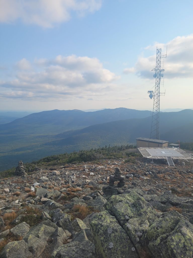
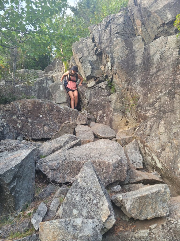
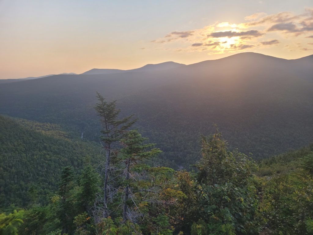
Back at the trail junction, the descent from Sugarloaf Mountain had a few rugged rock slides. We nearly made it to camp before dark for the first time in a while, but were slowed down too much by the downclimb. Fortunately, under the full moon, finding our way to the next campsite was doable without headlamps and we plopped down on a nice tent spot along a brook.
9/11 – Day 134
7.3 miles from Crocker Cirque Campsite to Maine Roadhouse
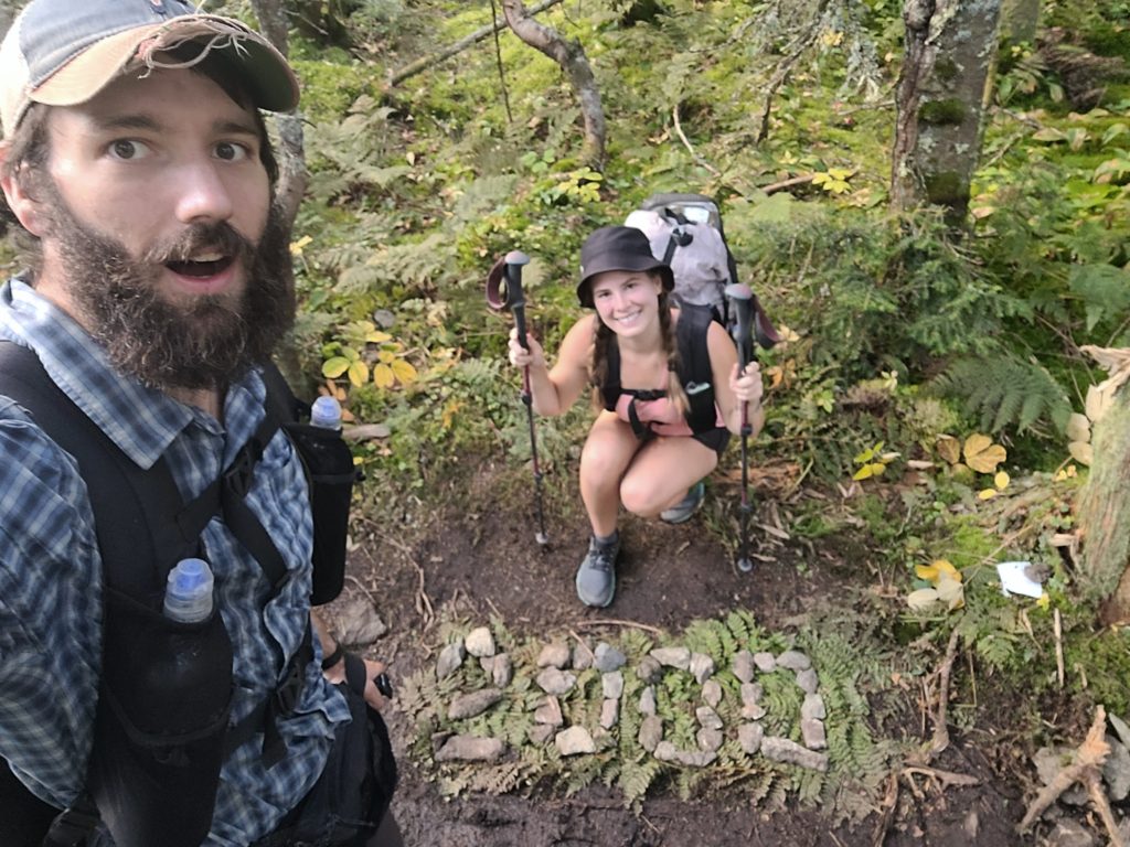
There is nothing like waking up early in the morning, eating a single muffin for breakfast, and walking up a hill so steep that your heels cannot touch the ground. Spout and I were passed by a few hikers while heading up Mt. Crocker, but we made it to the top before long. The summit of South Crocker was exactly 1,999.9 miles north of Springer Mountain. A smooth, tenth of a mile further brought us to 2,000. Before we began, I could never have dreamed we would make it this far. Spout and I are now 2,000 milers!
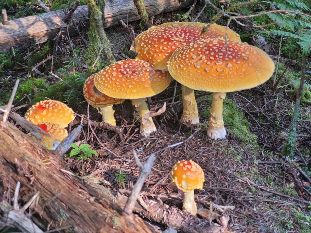
The trail dipped and rose back towards the higher, North Crocker. Then, we had a five mile descent to the road. It was likely the easiest downhill we have had in weeks. The terrain was still rocky and rooty but had few technical maneuvers and we fell into the zone as we sped towards town. Along the way, we passed more families of grouse and some fantastic fungi.
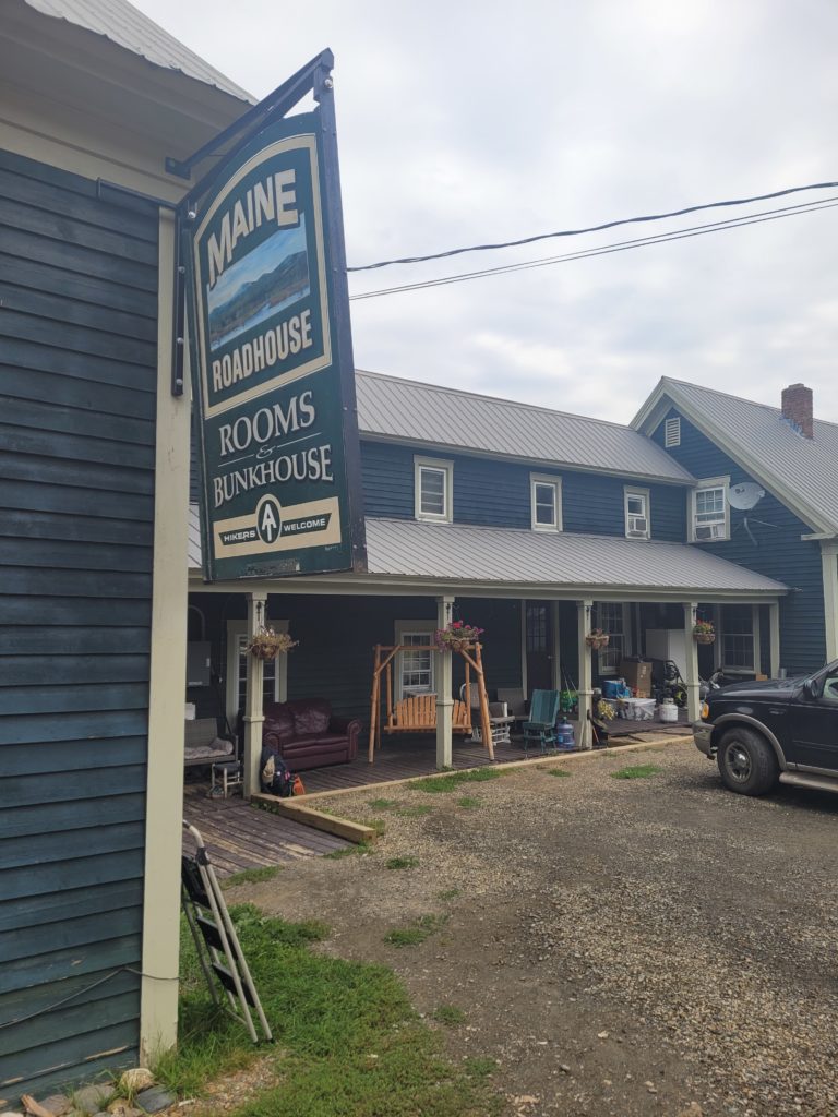
We got a shuttle to the Maine Roadhouse, ran by two awesome ladies both named Jen. The hostel was absolutely pristine. A large kitchen, multiple bathrooms, a spotless bunk house, and a killer common area with a flat screen TV, ping-pong table, and a bar were a few of the amenities.
Jen drove Spout and me into Stratton, ME where we grabbed lunch at Backstrap Bar and tried, unsuccessfully, to watch the Steelers game despite being neck deep in Patriots country. We resupplied at the general store then went back to the hostel to watch the football game on our phones, which turned out to be a ridiculous overtime thriller.
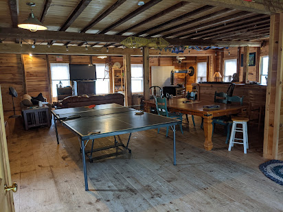
To cool down, I played some ping-pong against new challengers, Yogi and Manatee. We watched some nature documentaries along with them, YaYa, Flip, and Season Pass later in the evening. We had a fascinating conversation on life, death, and hobbies with the crew. Manatee was passionate about hobbies and even considered collecting hobbies to be one of his hobbies. He shared an Excel spreadsheet where he lists and categorizes as many hobbies as possible.
9/12 – Day 135
10.4 miles from Maine Roadhouse to Safford Notch Campsite
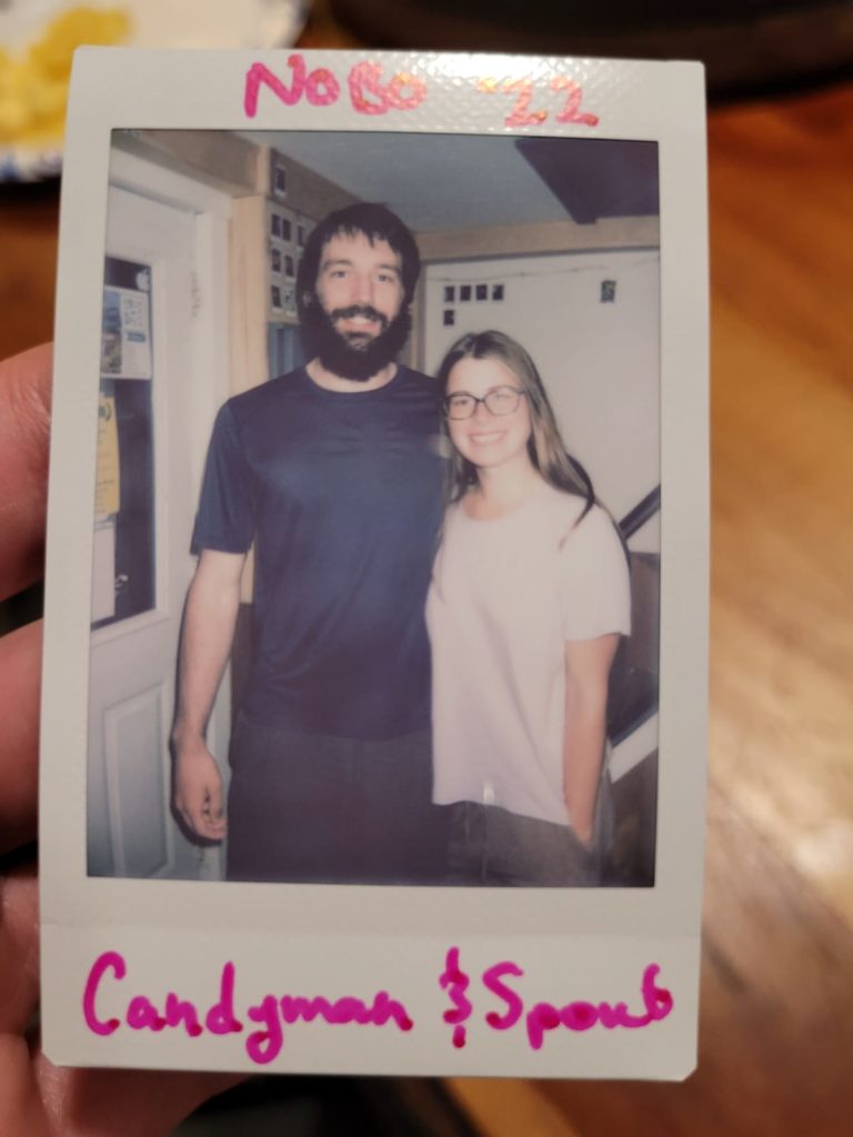
It took every ounce of willpower Spout or I possessed to resist getting vortexed at the hostel. Jen & Jen cooked us a hearty breakfast of banana pancakes, hashbrown casserole, eggs, and bacon. Afterwards, we lounged in the common area watching TV, playing ping-pong, and chatting up the other hikers. In no rush at all, we hung out until noon before reluctantly packing up and deciding to put in some miles. Jen drove us back to the trailhead in her school bus, heavily graffiti’d with the signatures of this season’s thru-hikers. I’ve declared Maine Roadhouse to be my new favorite hostel. It was simply an amazing experience.
Back in the woods, we had a warmup mile before climbing up one of the last intimidating mountains left on the map: Bigelow Peak. The mosquitoes came in swarms as we passed the bogs on the lower half of the hill. Before reaching Bigelow, we crested South Horn and saw the beautiful mountain ahead of us across another exposed ridge.
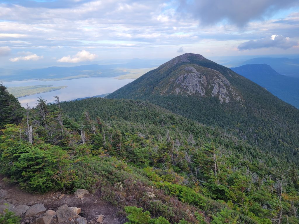
Maine has featured many alpine zones, and this one may have been the most scenic yet. On the horizon far to the west, the sky was washed in an orange haze despite it being hours before sunset. Mountains, ponds, and lakes blotted the landscape as far as the eye could see.
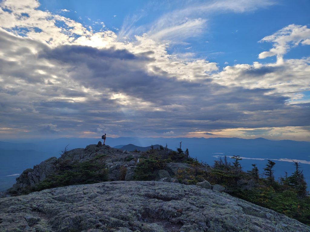
We traversed the ridge leading to West Bigelow, followed up by Avery Peak, named after Myron Avery. We relished standing on the final 4,000-footer before Mt. Katahdin and asked ourselves if this was truly the beginning of the end.
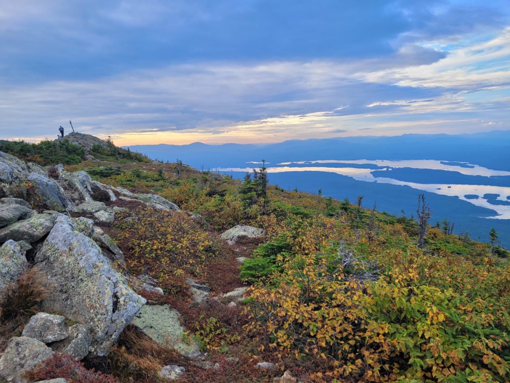
We climbed down to Safford Notch and took a short side trail through a cave-like rock formation to the campsite. The tent spaces were all slanted but we found one that would make do. Yogi had a fire going so we joined him around the flames before the night’s end.
9/13 – Day 136
22.6 miles from Safford Notch Campsite to Pierce Pond Campsite
Around 9:00am, we finished eating our breakfast muffins and started hiking. The modest ridge of Little Bigelow lay ahead and we took care of it with relative ease. We put away five miles by about noon as we worked our way down off the Bigelows. Looking at our map, we were in disbelief that the next thirty miles or so were basically flat.
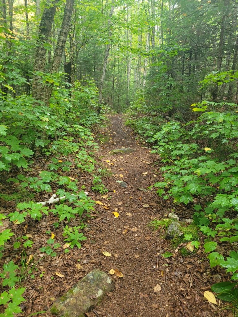
Off we went across some of the nicest terrain we have set foot on in weeks, possibly months. There were several lovely ponds and beaches along the way, including a short stroll over the fluffy white sand of East Carry Pond Beach. It would have made for a fantastic swimming spot had it not been a cool, fall day with overcast skies.
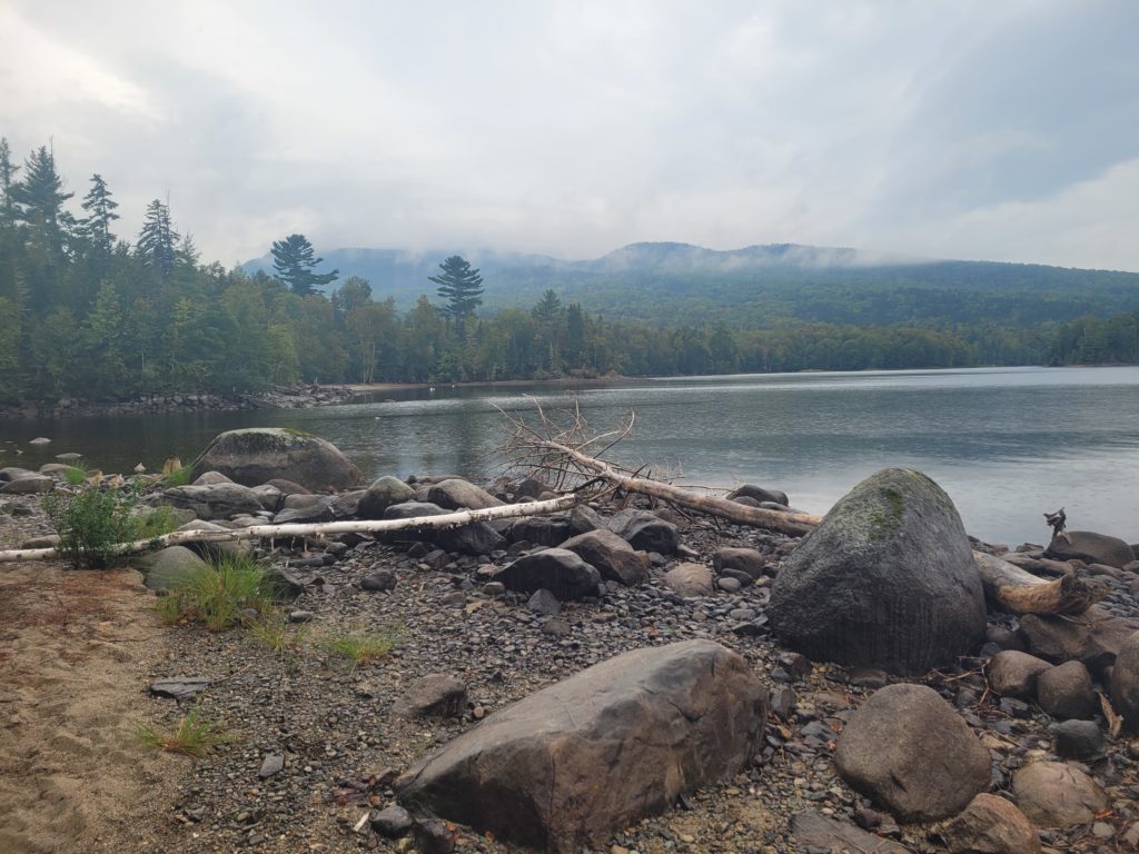
The miles ticked away like they used to, before we entered the shadow lands of New Hampshire and southern Maine. We commited to pushing ahead to the next shelter to hopefully snag a spot out of the rain that was forecasted overnight. 7:00pm came and the daylight vanished shortly after. I popped on my headlamp (Spout still doesn’t carry one) and we night hiked three miles in the dark. Our legs were used to short, brutal beatings rather than long, slightly-less-brutal ones, so we had some forgotten aches and pains return with vengeance. We hobbled into camp feeling quite exhausted. Unfortunately, the shelter was already packed and most of the best tent sites were already claimed, but we still found a decent spot among the pines before the rain hit.
9/14 – Day 137
16.0 miles from Pierce Pond Campsite to Moxie Pond
Our tent pitch held strong against the downpour, but the condensation of our breath was enough to soak the inner tarp. In any case, we were drier than usual after a rainy night. We started hiking by 8:30am and passed a few gushing waterfalls on our way down the hill. Ponds, lakes, and waterfalls are the theme of the Maine section of the trail.
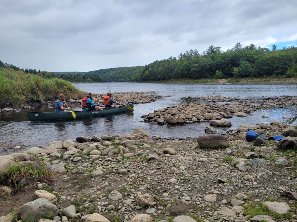
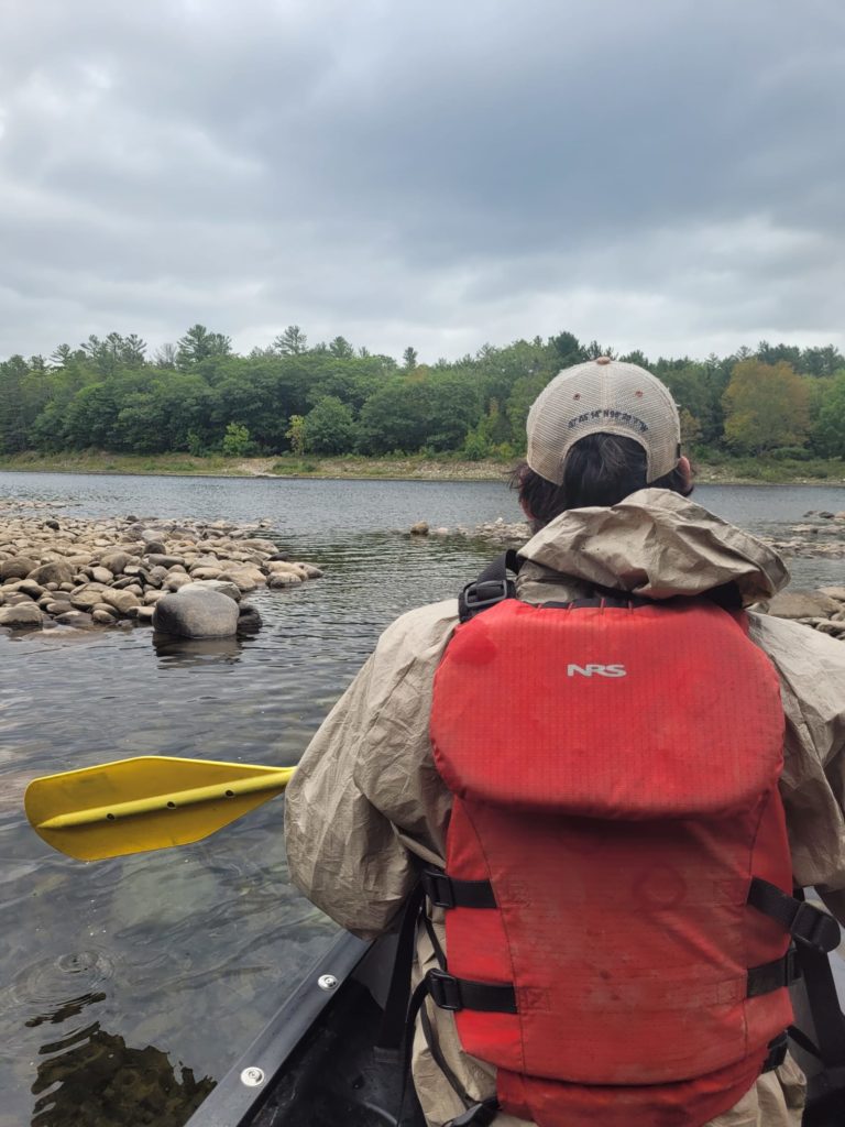
After a few miles, the Kennebec River popped into view. The Kennebec is significant as the most formidable river on the AT without a bridge. Instead, the only safe way to cross is boarding a ferry (canoe) operated by a volunteer who spends his days paddling back and forth. Their was a small queue of hikers waiting at the water’s edge for the boat. After a few trips, it was our turn to hop on board. Spout sat in the middle. I sat in the front and helped paddle.
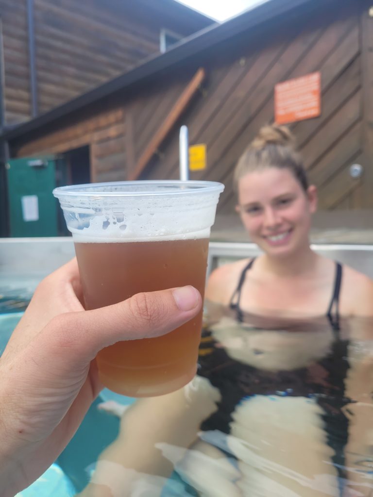
Styder, P.I., Yogi, YaYa, and Flip were gathered at the next road waiting for a free shuttle from Sterling Inn. We decided to tag along to visit the Inn for a few extra snacks to make it to Monson, ME. Afterwards, we got another shuttle to the Kennebec River Brewery. The food and beer were average, but the venue was excellent. On the patio was a large hottub, free for us to relax in and sip our beverages. It even doubled as our weekly shower!
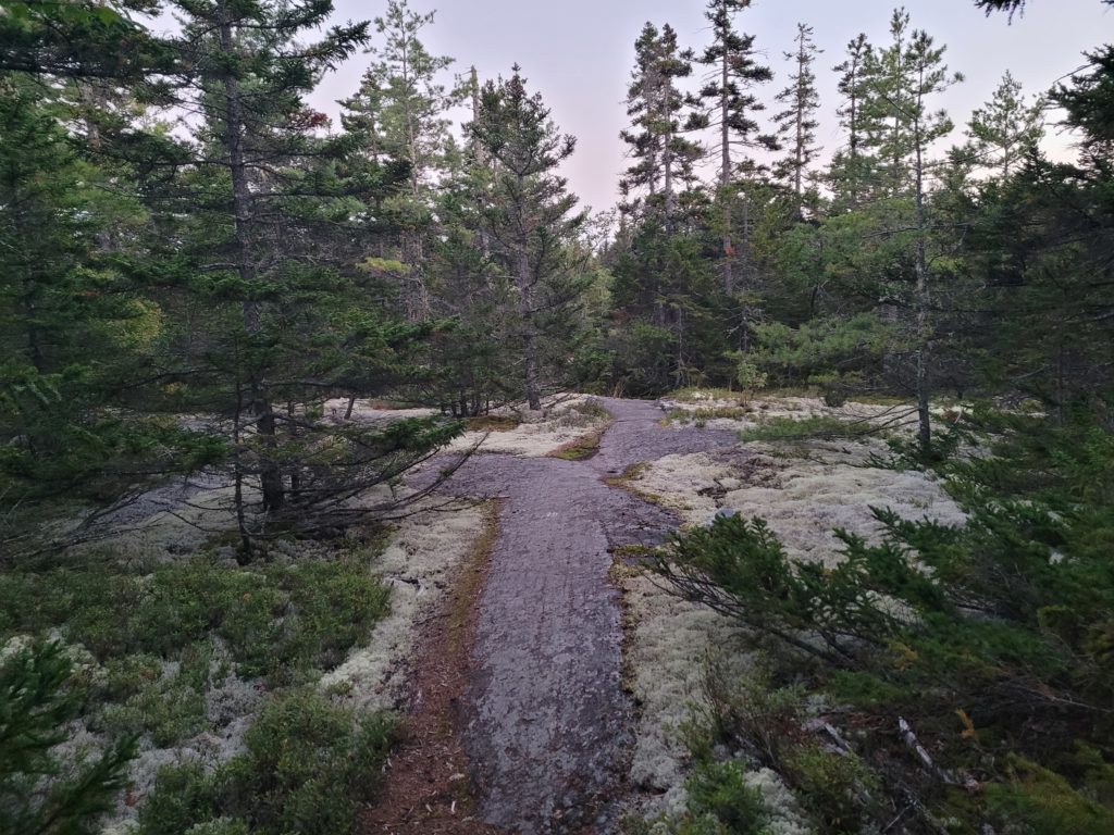
We hiked a mile back towards the trail before a couple picked us up and drove us the rest of the way. It was nearly 2:00pm and we hadn’t done much hiking, but we were feeling good and cruised several miles up the gradual slope of Pleasant Pond Mountain. The summit and following areas were blanketed with reindeer moss. It was a beautiful hike down the mountain that we stretched an additional six miles to the next reliable water at Moxie Pond.
9/15 – Day 138
20.5 miles from Moxie Pond to Lake Hebron
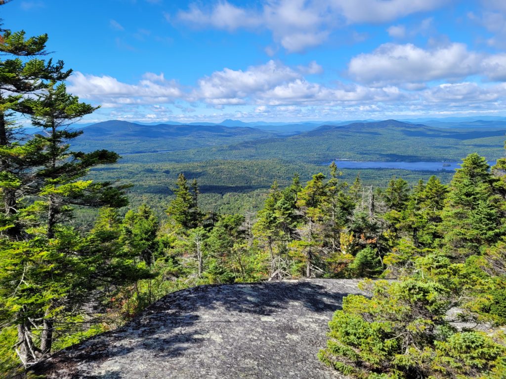
Moxie Bald Mountain lay ahead. It was a pleasant climb that rose gradually and dipped through a cave. Once we busted out of treeline, we were slammed with a brisk wind. Otherwise, it was gorgeous day and the stroll along the bald was stunning. Bigelow Mountain looked like an ancient volcano across a wide valley of trees. Whitecaps were forming on Bald Mountian Pond that we could clearly see before us. There was about a mile of the mossy, exposed ridge, then we descended to the pond and took lunch at the Bald Mountain Pond Shelter.
The next eleven miles ran gently downhill, sticking closely to Bald Mountain Stream. We were forced to make back-to-back fords through Marble Brook and Piscataquis River, wading knee deep through muddy water. Spout opted to take her shoes and socks off, then continued hiking barefoot for a half mile afterwards. We stopped for a snack break on the rocky beach of Bald Mountain Stream. There, I made history by eating a Clif Builder Bar in 1:29.67, the fastest known time.

After several more miles of easy peasy hiking, we reached Lake Hebron. We set ourselves up for a quick shot in Monson, ME the next morning and honestly it just feels good to hike twenties again. We made camp near the lake shore and listened to a symphony of loons as we layed in our tent. In my opinion, the loon call is the most remarkable sound in all of nature.
What’s next?
There will only be two more update posts. The timing will be difficult as we are going through the 100 Mile Wilderness next, a stretch with no towns and poor cell service. At last, it is time to decide our summit date and make plans for the return trip. Currently, it looks like reaching Mt. Katahdin on 9/24 is the most reasonable estimate. One more push and we will complete the Appalachian Trail.
Stay Dirty,
Candyman & Spout

Loved reading all of this! Love you guys! You are almost there!!!!