8/27 – Day 119
17.0 miles from Hikers Welcome Hostel to Eliza Brook Shelter
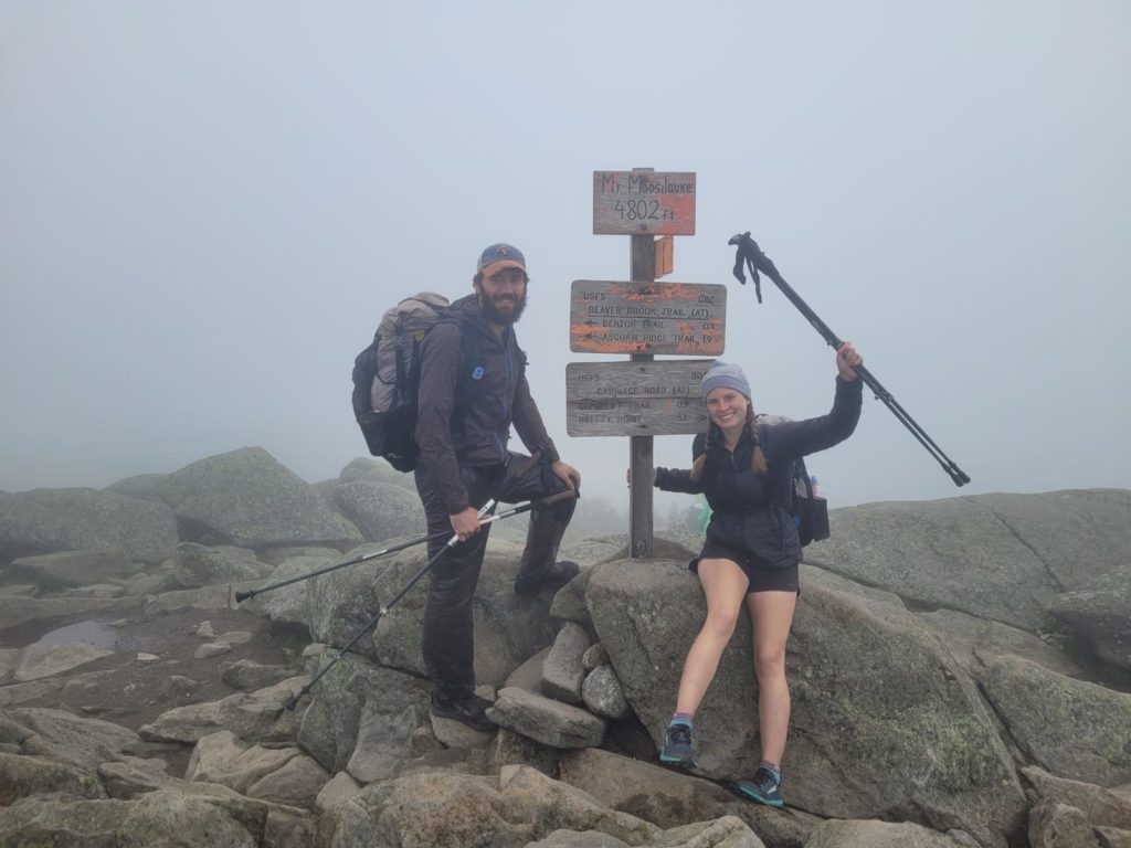
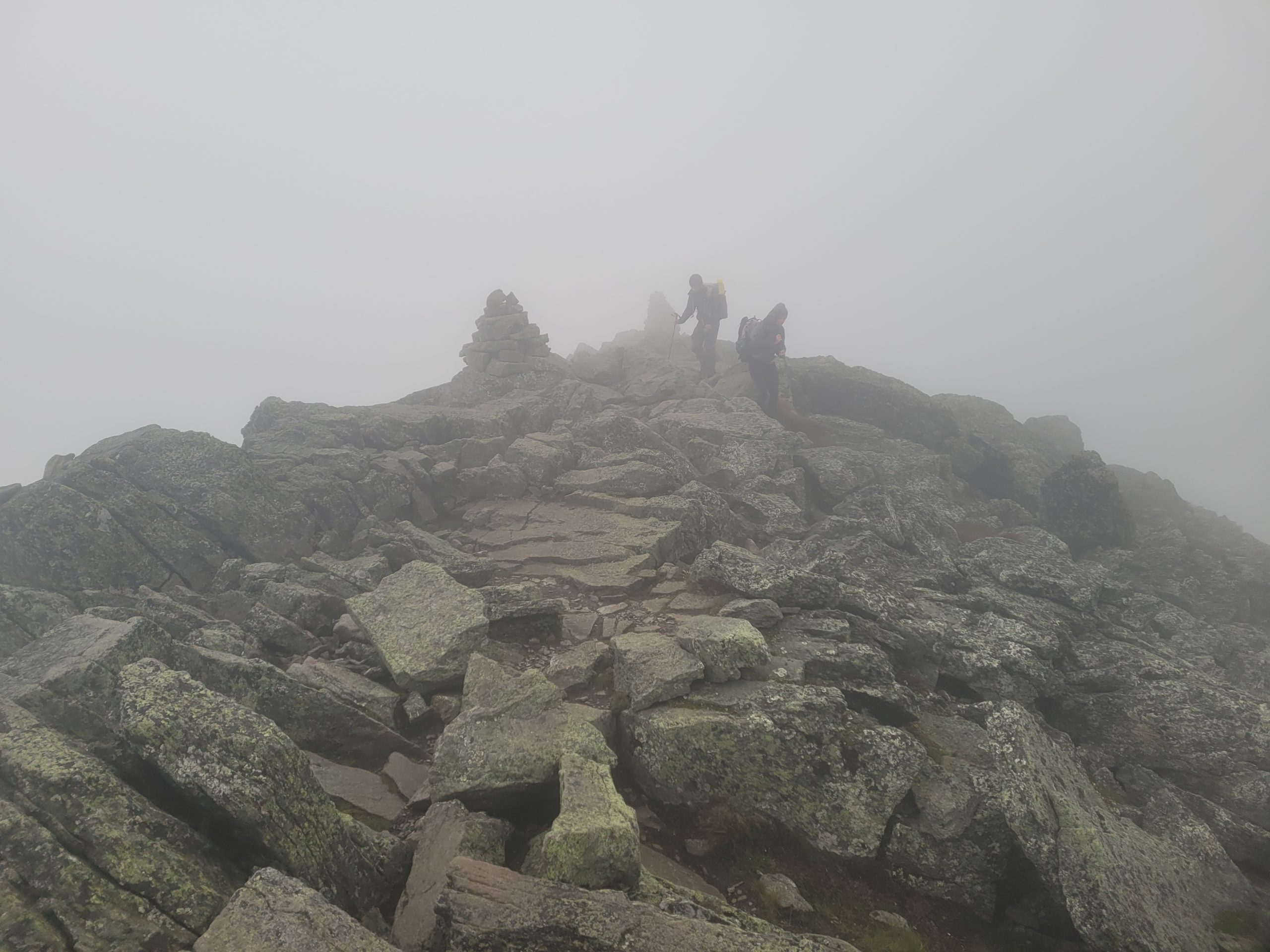
Spout came to my bunk and shook me awake at 6:30am. The entire bunkroom of hikers was ready stirring. We packed up, payed for the half dozen soft drinks we consumed, then set off down the road towards the trail. Mt. Moosilauke stood at 4,802′. Starting from about 1,000′, the climb to the top was spread out over six miles. As we worked our way up, the trail was slowly encompassed in a dense fog, potent enough to throughly soak my beard. Brief glimpses of blue sky gave the appearance of hiking above the clouds and we soon broke treeline nearing the top.
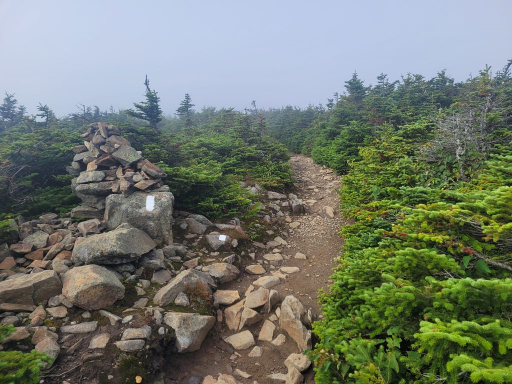
The summit was fully veiled and packed with disappointed day hikers. Spout and I sat with Boom for an hour behind a rock wall for cover from the wind. Showing no signs of clearing up, we decided to head down around 11:00am.
We passed Doppler, Queue, and Lady V slackpacking SOBO up the mountain. After that, we passed the Nuts Family, whom we had been following in logbooks. They are a family of six thru-hiking the AT (flip-flopping from Duncannon, PA) with four children ages 6-12. They warned us of the descent ahead, and pretty much everything through Southern Maine.

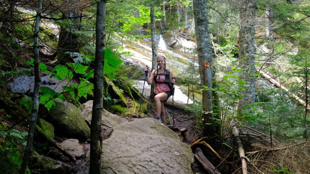
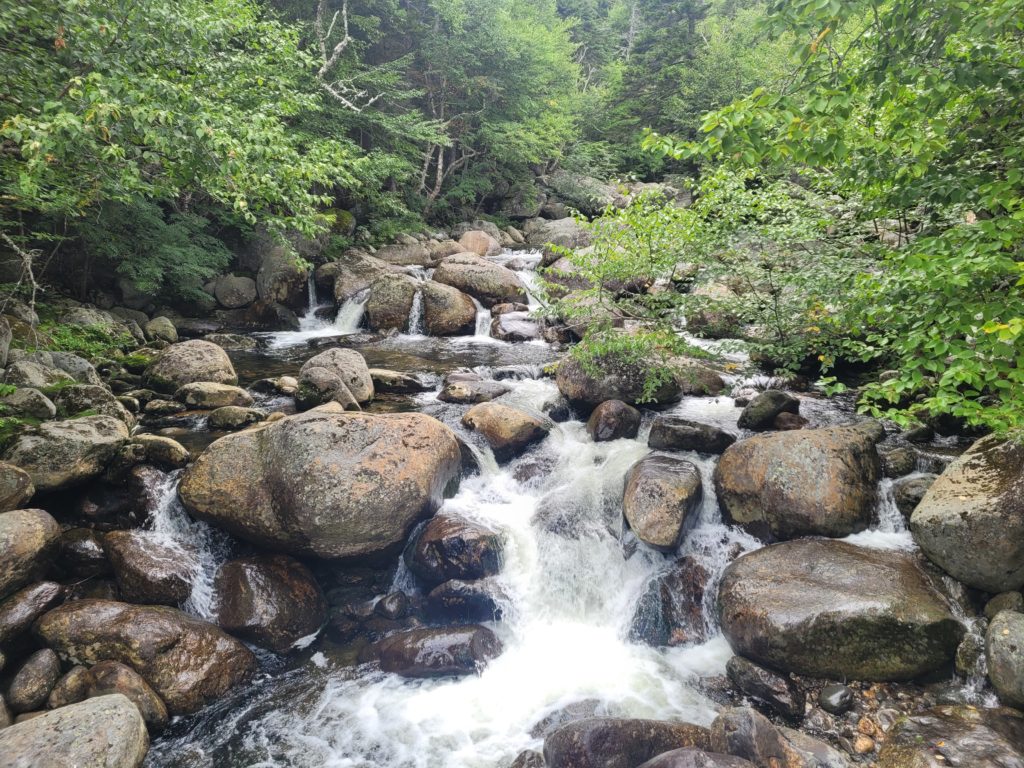
What followed was an impossibly steep, technical scramble over rocks that were as slick as oil from the previous day’s rain. The trail ran parallel to a waterfall for a full mile. Each step down demanded careful attention. Slipping was not unlikely and would mean falling down ten feet or more along a wet slate of stone. In some places, we were forced to hold onto metal re-bars bolted into the rock or step on old, rotten wooden stairs to work our way down.
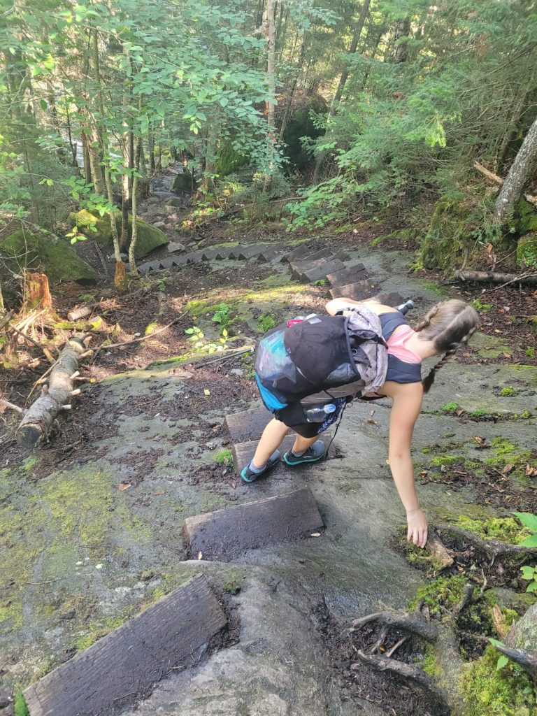
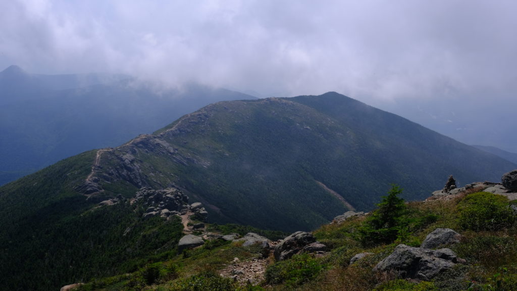
It took us three hours to hike just three and half miles to the bottom of Mt. Moosilauke. We took a break to filter water and apologize to our knees before starting our way up Mt. Wolf. Not nearly as foreboding, we hiked for several miles over what felt like rolling hills before reaching the summit. There was a mostly overgrown outlook to Franconia Ridge where Mt. Lafayette stood with intimidating scars of exposed rock along its southern slope.

We underestimated the descent of Mt. Wolf. Heavy roots and short, yet annoying hurdles over fallen trees slowed us down and dragged out the final four miles through the evening. We reached Eliza Brook Shelter an hour before dark and claimed the vacant shelter. Wearing my long johns and new Hikers Welcome t-shirt under my fleece, I felt nice and cozy falling asleep to the babbling brook.
8/28 – Day 120
10.8 miles from Eliza Brook Shelter to Liberty Springs
From the shelter, we left camp around 8:20am. Mt. Kinsman was the next of the Whites on our journey. The first mile was surprisingly accessible, albeit steep. We came to a flooded section of trail overflowing from a nearby bog and caught a glimpse of the enormous peak of South Kinsman still a mile away. From there, the grade steepend further. There were quite a few scrambles over great boulders in lieu of dirt trail. We relied heavily on pulling ourselves up by grabbing roots or thin trees. It was one of the more technical ascents we have come across.

We popped out of the trees onto a rocky clearing atop the south peak of Kinsman with fine views to the south. Unmistakably, Mt. Moosilauke was entirely unobstructed and dwarfed the nearby mountains with its commanding presence. We spoke briefly with 8-ball and A.O., who were still camped on the summit.
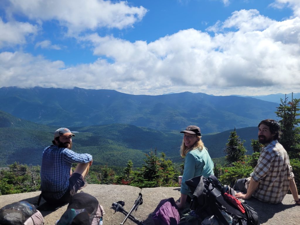
We followed them across the ridgeline, dipping down a few hundred feet and rising back up to the north peak of Kinsman. The clouds to the north were blocking the sight of Franconia Ridge, but soon dissolved and treated us to a spectacular sight.
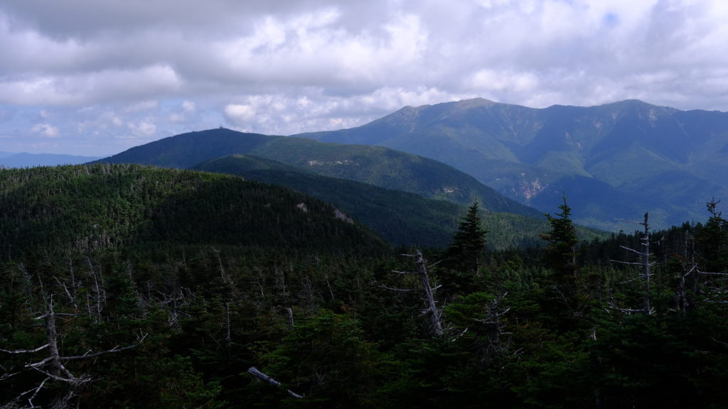
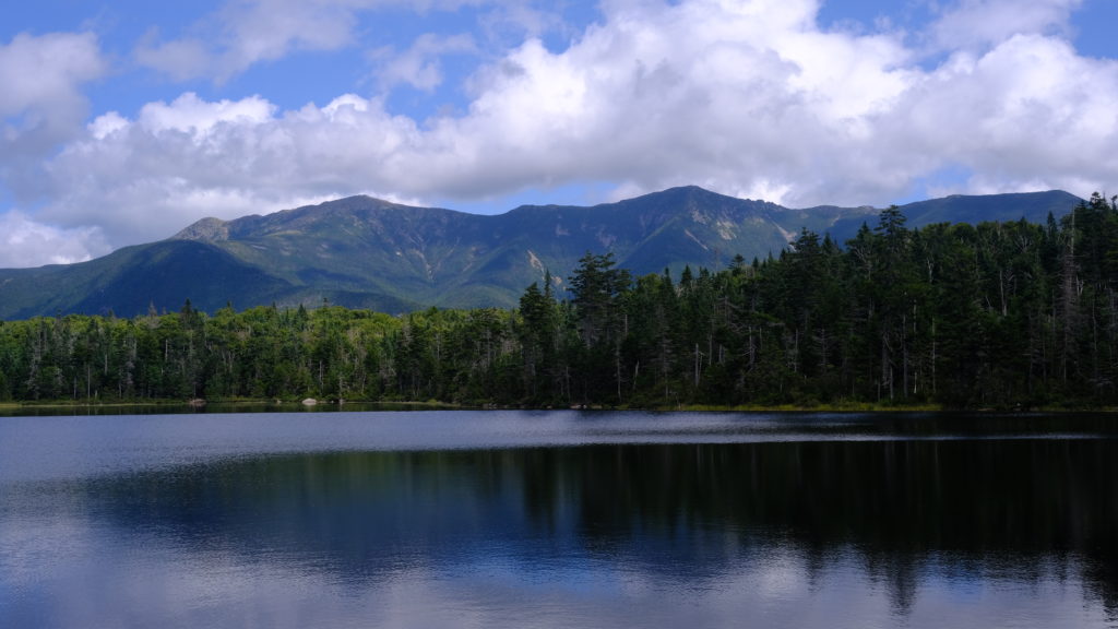
The descent was another tricky one, forcing us to use all of the caution we could muster. We were humbled by a trail runner who blew past us, literally sprinting down the side of the mountain along slippery rocks with apparent ease. Our progress was slow, and it felt like we had put in an honest day of hiking after only four miles. We reached Lonesome Lake Hut, the first of several established huts in the White Mountains that provide lodging and dining to guests. Spout helped herself to a plate of cold pancakes and eggs that the workers gave away to thru-hikers for free. After eating, we strolled down to the water. It was a stunning alpine lake nestled at the base of Cannon Mountain, with the Franconia Ridge forming an awesome backdrop to the north.
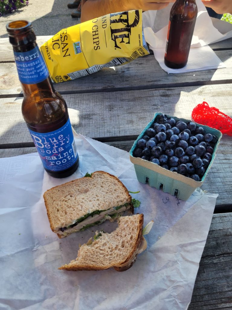
A three mile cakewalk along Cascade Brook followed, taking us to the final interstate crossing of the trail, i-93. Spout somehow managed to pull over a shuttle van on the interstate’s nonexistent shoulder. He drove us a mile down the road and dumped us at a better hitching location, where we scored another ride into Lincoln, NH in the bed of a pickup. We a late lunch at a place called the Purple Tomato, then resupplied for a five day stretch (only four days of food, factoring in eating at huts), aiming for Gorham, NH. We hitched back to the Flume Gorge Visitor Center and walked a mile on a paved bike trail to reconnect with the AT.
By now it was 6:30pm and we hoped to find a stealth spot along the slope of Mt. Liberty. Though the climb was not technical, we soon realized our plan was rather ambitious considering the trail gained 2,000′ of elevation in only a mile and a half. To our dismay, the campsite we hoped to snag was already occupied, and it forced us to continue climbing further, well past the half way point to the top. Since it was already dark, we figured there was no reason to tent on the ridge and eventually found an acceptable site on a mostly level clearing among a sea of fallen trees. Season Pass was forced to pitch his tent practically inside of ours, as there was only a small area of usable surface. A tall, widow-maker of a birch tree was just ever so slightly leaning our way, but we were tired and the spot had to suffice.
8/29 – Day 121
11.9 miles from Liberty Springs to South Twin Peak
I slept for only a few hours due to irrational anxiety over the widow-maker. Still, I was excited for the day to come. We were already halfway up the tremendously steep slope leading to Franconia Ridge, leaving one mile and about 1,200′ of ascent standing in our way. Fortunately, the climb was not particularly technical. A familiar white haze began to roll in once we reached the spur trail to Mt. Liberty at the top. We dropped our packs and sprinted 0.2 miles to the jagged summit, if for no other reason than to bag the peak, since the view was shrouded in fog yet again.
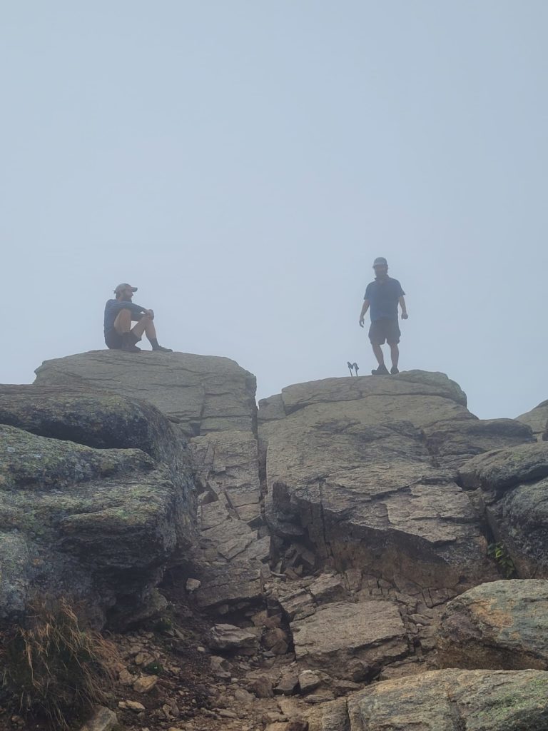
The clouds began to cycle and we caught fleeting glimpses of Mt. Cannon as we traveled up a short ways to Little Haystack. Here marked the southern end of Franconia Ridge, an epic exposed ridge walk over Mt. Lincoln and Mt. Lafayette, with spectacular views in all directions. We took our time, stopping for snack breaks at every spot that looked inviting. Pockets of wispy clouds flew across the face of Mt. Lincoln. The ridge made for some easy hiking and was one of the most scenic stretches of the entire trail.
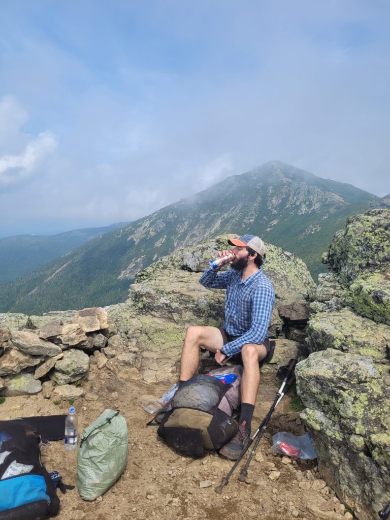
There were only three and a half miles laying between Mt. Lafayette and its successor, Mt. Garfield, which looked small and manageable from a distance. But surprise! The trail descending Mt. Lafayette was extremely rugged and treacherous at many points. The boulders ran into a stream at one point and the trail just continued following it, literally just straight down the mountain. At the bottom it ran out, and we saw how massive Mt. Garfield looked from a different perspective before making our climb to the top. It was a our forth 4,000-footer of the day and possibly the most beautiful.
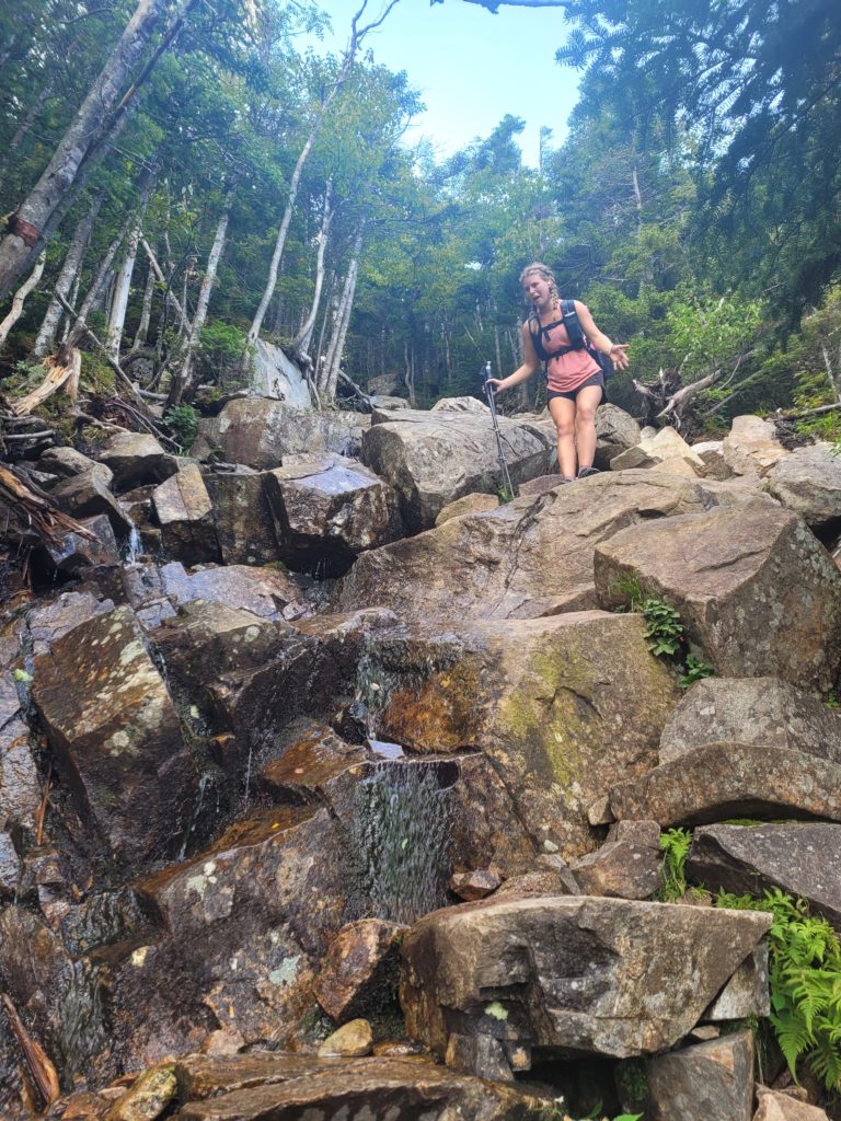
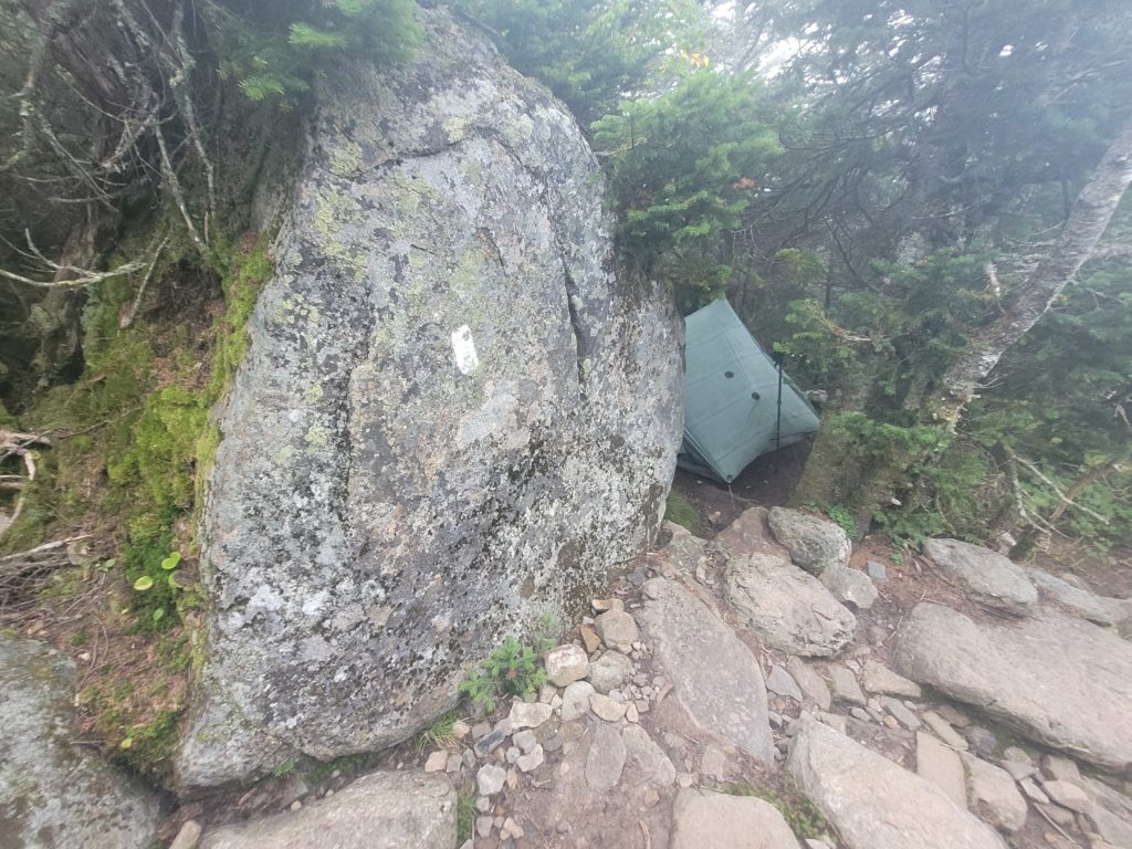
We made the slow descent, following a low ridge for a few more miles, then a gradual climb to the Galehead Hut. Spout took a spill after trusting her tread on a wet rock, breaking one of her trekking poles and scraping up her hand. She walked it off, using only one pole to navigate. We missed the meal window for thru-hikers at the hut, but sat outside on the porch eating Clif builder bars and contemplating if we should get the next torturous mountain out of the way tonight. We decided to send it up South Twin, looking for stealth camp sites along the way. Before much longer, we found ourselves on the top crest, with 360 degree, post-sunset views of the endless peaks ahead of us. It was too windy to camp on top, so we walked a tenth of a mile down the trail in search. We found a 10/10 site nudged behind a ten foot boulder that protected us from elements.
8/30 – Day 122
15.7 miles from South Twin Peak to Webster Cliffs
Our confidence with mileage timing has plummeted after the last two days. We seemed to wake up earlier, hike longer and harder, but yield fewer miles. The benefit is that the landscape of the Whites is easily the most dramatic and stunning of the trail thus far, which makes every climb tremendously rewarding.
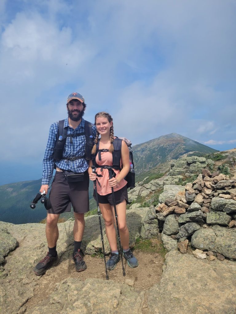
Expecting another difficult day of hiking, Spout and I hit the trail at 8:15am, working our way down the remainder of South Twin. It was far less technical than some of the earlier challenges. Once it leveled out, the following stretch of miles were also slightly less rocky and annoying. We climbed to the top of an unnamed bald on the Guyout Shelter spur trail, and saw, for the first time in clear lighting, Mt. Washington peeking out over Mt. Willey.
The trail remained level and suspiciously easy for a while, past another great view over Zealand Cliffs, and down to the Zealand Falls Hut. It was positioned only a few yards away from a stream down the side on a rock surface that looked like a natural waterslide, before it fell in a few consecutive small pools. There was one woman running the hut. She made us black bean soup and quesadillas with ingredients she hauled on her back from the nearest road three miles away. The hot food invigorated us to complete the next five easy miles across an amazing open clearing that ran between the mountains. A fear-mongering SOBO made sure to remind Spout in passing that this flat part is the only easy section for the rest of the trail. We joked that soon we will be halfway up Katahdin and a southbounder will tell us we are not ready for what’s ahead.
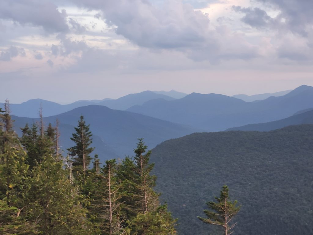
At the bottom of the ridge, we crossed a road for the first time in a few days. We stood at the base of Mt. Webster, the first mountain we cross on our way up the Mt. Washington and the crew of Presidentials. Less than two miles took us up 1,700′. It was late in the day, but we still activated “sweat mode”, removing our shirts less they be saturated in sweat. It was one of the steepest climbs we have ever made. From Webster Cliffs looking down, we stood directly above the tiny road we had just crossed. The imposing Mt. Willey was immediately before us and layers upon layers of distant mountains lay farther to the east.
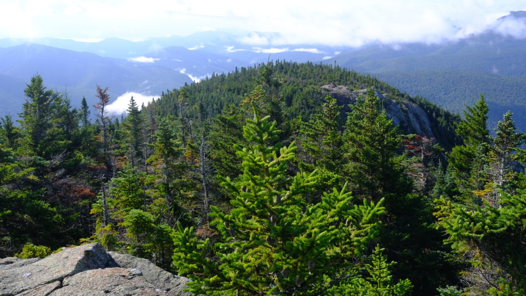
We snagged an outstanding campsite within the spruce trees and built a fire ring out of rocks to house a campfire. Season Pass camped with us, and we spent the evening alternating between the fire and the cliff as needed. It was possibly my favorite spot of the whole trail.

8/31 – Day 123
16.3 miles from Webster Cliffs to Madison Springs Hut
Two separate storm cells, one of wind and one of rain, shook us overnight. In the morning the skies relaxed and it was cool and cloudy. We had an ambitious day planned, beginning with a hand-over-hand scramble over the remainder of Mt. Webster.
From there, the trail dipped before cresting Mt. Jackson, the gateway of the Presidential Range. So began a twelve mile stretch above the treeline at about 4,500′, an anomaly on the AT. We pulled over at Mizpah Spring Hut for a quick coffee break before heading out to bag Mt. Pierce.
Several miles followed as we made our way towards Lake of the Clouds Hut. We climbed above the miniature evergreens dotting the landscape near the impressive, Mt. Eisenhower. Mt. Washington was still being shy, refusing to reveal its true power level beneath the clouds.
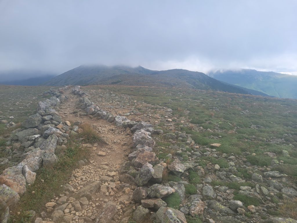
The wind was picking up, and we soon saw the blur of distant rainfall heading towards us. Before much longer, we were being whipped with wind and blinding rain. We sought refuge in Lake of Clouds Hut, standing directly at the base of Mt. Washington on an alpine lake. We warmed up in the hut with a hot bowl of tomato soup and some freshly baked bread.
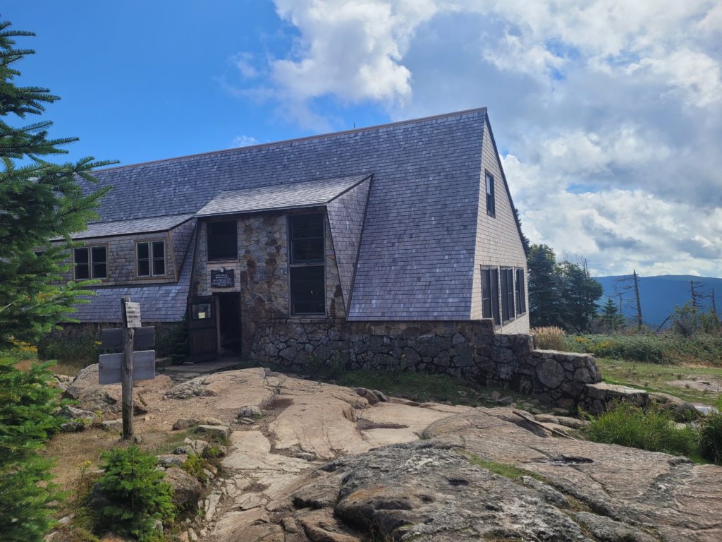
It was about 2:00pm and we had a decision to make. Mt. Washington is infamous for having “the worst weather in the world”, and has tragically claimed the lives of many hikers. The current forecast indicated increasingly heavy winds and potential thunderstorms on the summit. Tomorrow, however, temperatures plummeted to the 30s, with high wind and rain always a risk. If we chose to summit today, it meant trekking a minimum of eight miles across the entire Presedential Traverse before the next hut or a safe place to pitch a tent. Carefully weighing our odds, Spout, Season Pass, and I agreed that temps in the 50s were too good to pass up and we would attempt the climb as soon as possible.
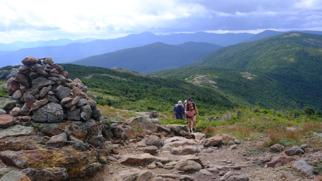
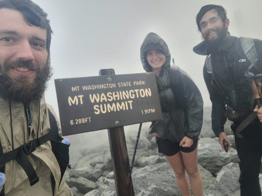
The summit was only a mile and half from the hut, straight up over a well-groomed rock staircase. It felt like we had made a mistake during the initial ascent, as even though the rain had ceased, the wind was gnarly and we could barely make out the next cairn through the fog. It didn’t take long to reach the top and we hurriedly snapped a picture by the sign: Mt. Washington 6,288′, the crux of the Appalachian Trail.
Afterwards, we walked into the visitors center and ran into a wall of over fifty people waiting at the entrance to take the final cog train of the day back down the mountain. We held our breath walking past the smelly tourists, I’m sure they did the same for us. It was like stepping into a perfume department. The snack bar was closed so there was not much for us to do inside, but we spoke briefly to the ranger working at the front desk, who acted like we had no idea what we were doing and advised us not to hike on and take the railroad into town instead. We ignored him. Waiting for tomorrow to attempt the traverse would be a worse mistake.
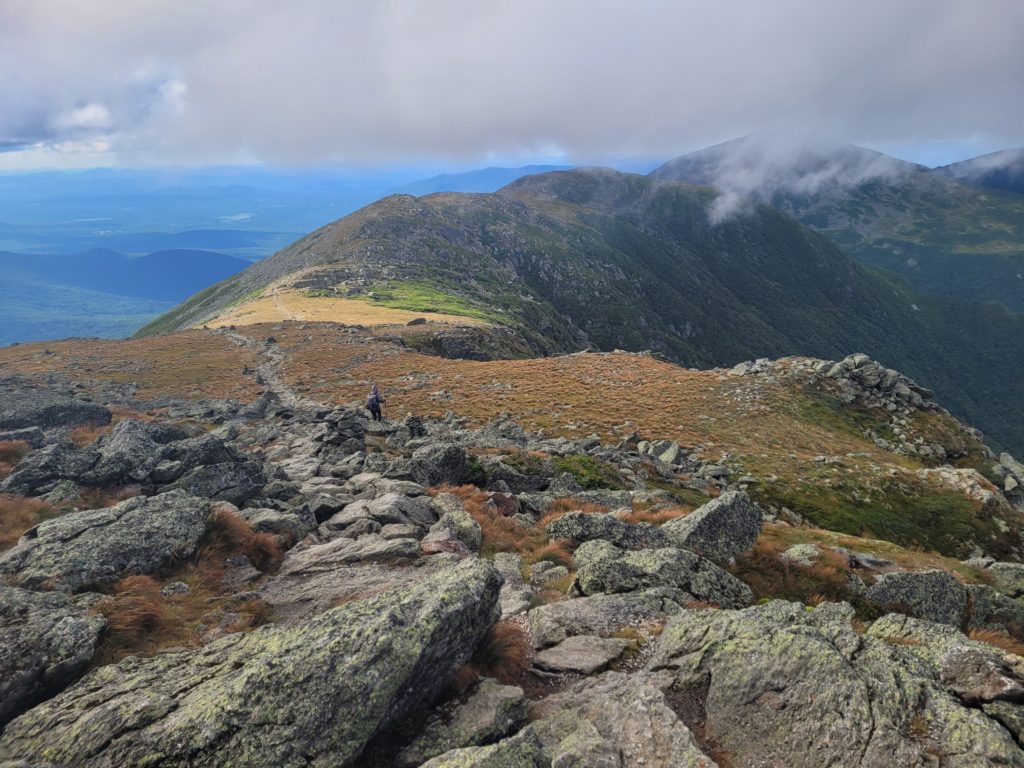
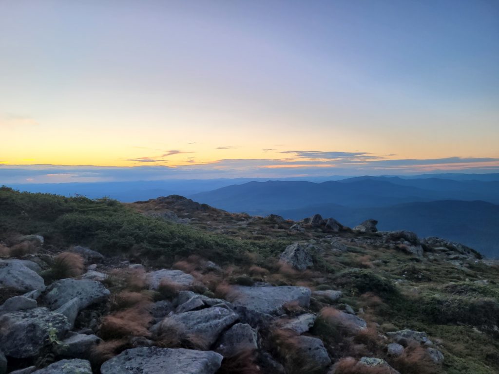
As soon as we stepped out from the building into the open, we were slammed with a great wind that nearly knocked us off our feet. I was suited up with all of my wind gear, which ate the chill and left me to focus on my balance while hiking down the rocky slope. As we went, the fog began to slowly clear up and the wind died the further we descended from the sunmit. After a half hour of progress, the surroundings were perfectly clear and we stood amidst one of the most jaw-dropping landscapes I’ve ever witnessed. The Presedential Range was an epic, exposed ridge trending north across the highest peaks in the northeast. Mt. Jefferson, Mt. Adams, and Mt. Madison stood in succession, with Mt. Washington at the helm, and magnificent mountains in every direction as far as the eye could see. Their prominence rivaled even the most formidable mountains I’ve seen out west in the Rockies.
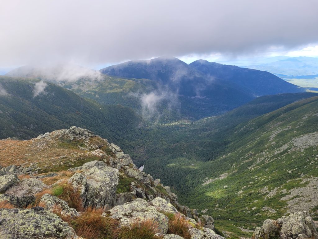
The terrain was exceptionally rocky for the entire six mile traverse. Despite the fading wind, we were still dealing with gusts well over 30mph. The going was slow, difficult, yet unbelievably scenic. Unfortunately, we did not have the time nor the gusto to climb over Mt. Jefferson or Mt. Adams. The trail skirts either peak about a half mile short and we were racing the sun to reach the next hut. Spout took another fall on her way up the pass near Mt. Adams. Where she landed, she stayed for a while and took in the phenomenal view of the unobstructed north face of Mt. Washington.
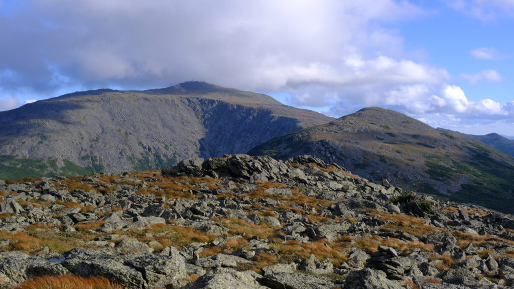
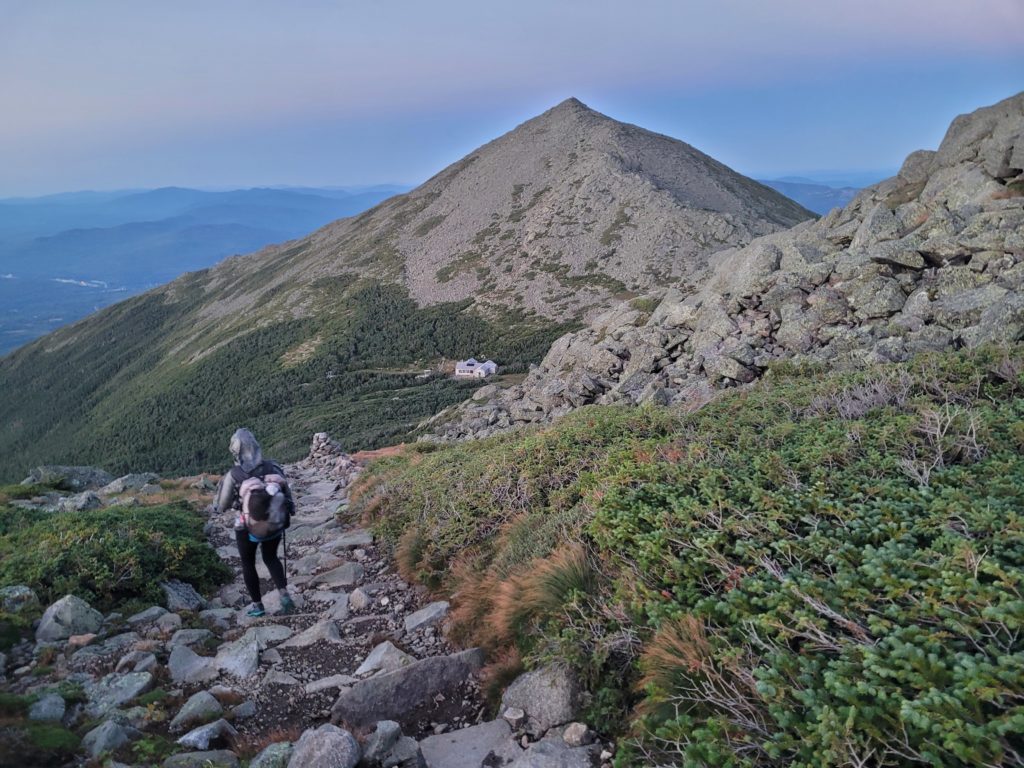
In length, after what was likely the most impressive five hours of hiking on the AT, we came to the base of the jagged Mt. Madison. Exhausted from the long walk that we suffered without any breaks, the Madison Springs Hut looked so close it was tantalizing. We limped down the last quarter mile, seeming to take hours, and went inside for relief.
It was dinner time for the guests, who were merrily chowing down on deliciously smelling food. We asked the croo if we lowly thru-hikers could sleep on the floor to stay out of the elements overnight. To our surprise, they offered Spout and me a work-for-stay, and an easy one at that. Spout had to wipe down a windowsill and I had to replace the foil on the grease trap of the stove. For this work, they allowed us to stack our plates high with hot leftovers and sleep on the dining room floor in refuge of the howling wind. Before quiet hours, we played an Appalachian Trail boardgame in the dining room. Spout was the winner who reached Katahdin first.
9/1 – Day 124
7.8 miles from Madison Springs Hut to Top Notch Inn
The downside to sleeping on the dining room floor of an AMC Hut is that I was woken up by every guest who used the bathroom in the middle of the night. We also needed to be awake and packed up by 6:00am before they began serving breakfast. At the least, it forced us into gear and we were suited up with our heaviest winter gear before 7:20am, making our way up Mt. Madison. The weather was about 55 degrees before factoring in the wind chill, which was gusting to a staggering 50mph (measured over 60mph on Mt. Washington).
Whoever built the trail over Mt. Madison is a sadist. It was a short, yet brutal half mile to the summit, clambering across large, uneven rocks. The white fog camouflaged the few white blazes painted on rocks and we relied solely on cairns for navigation. We reached the top and tried to pose for pictures while being thrown around violently.
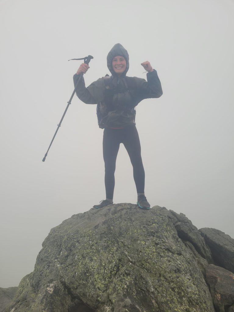
Quickly, we spied a pile of rocks and set off down a sketchy line off the summit. After ten minutes of crawling over boulders, I checked my map and realized we had been following the wrong trail. Back up we went, re-bagging Mt. Madison, and finding the correct trail marked with a different pile of rocks. The wind seemed to be picking up at this point. It caught in our backpacks like sails and we had to lean heavily to stay upright. Two hours of rock-hopping through this punishing windstorm was the most hardcore bit of hiking we have ever done.

Finally, the trail dipped back under treeline and the air was suddenly stagnant. We still had two miles of steep descent off Mt. Madison, but safe from the elements now, it was a breeze (pun totally intended). We hiked to the bottom of the hill and crossed a series of streams before the trail merged with an old road. By noon, we reached Pinkham Notch Visitors Center and hitchhiked to Gorham, NH for the night. We desperately needed a shorter day.
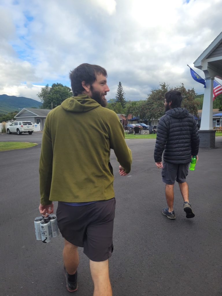
We split a motel room with Season Pass at the Top Notch Inn. After chores, we walked to Dynasty Buffet for all-you-can-eat Chinese food. I don’t need to describe the specifics of the dinner, but let’s just say that our waitress brought us our checks after only twenty minutes and was clearly encouraging us to stop deleting all the crab wontons. We eventually got our fill, then left to make a resupply at Dollar General. Back at the motel, our room was right next door to the pool and hottub, where we relaxed late into the night, drinking beer, and asking what the hell just happened on trail today.
What’s next?
The Whites aren’t quite finished with us yet. However, we are knocking on the door of Maine and could not be more excited to have made it this far.
Etc.
Boy, has it been difficult to keep up with the blog. But we are so excited to share these latest sections of the trail everyone. This is a truly magical part of the country. More ridiculousness coming soon!
Stay Dirty,
Candyman & Spout

Wow;. Wow! Speechless 🥰🥰🤗🤗