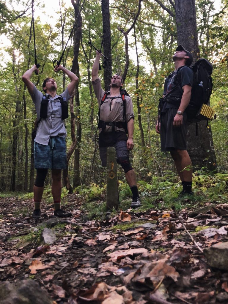
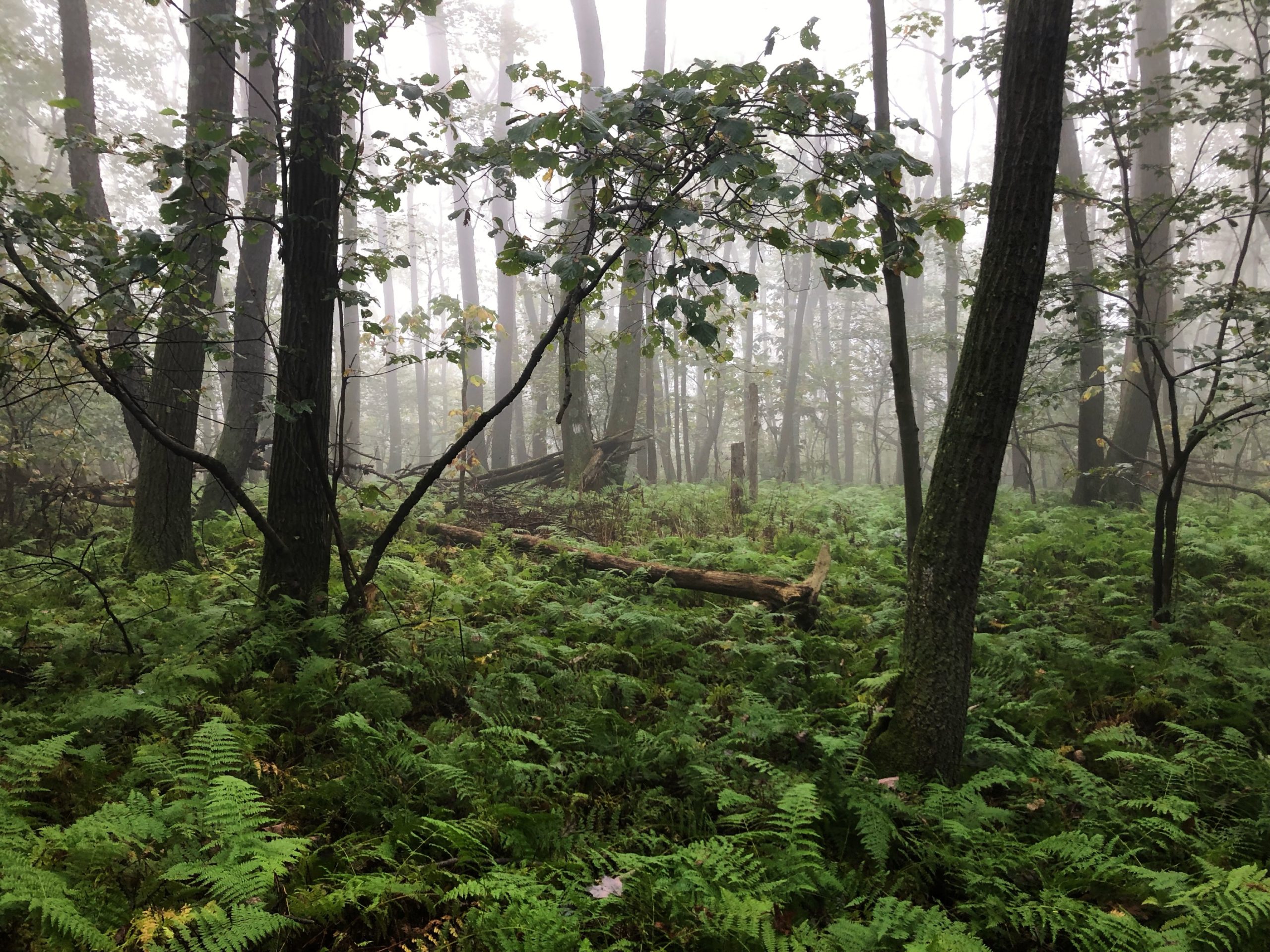
The Laurel Highlands Hiking Trail holds a special place in my heart. Not only is it the best hiking trail in the state of Pennsylvania, but also where I took my first backpacking trip and have returned for dozens of trips over the years. I’ve likely hiked the entire trail in sections three or more times since I first claimed it as my stomping ground, back in my early years as a Boy Scout. One thing I had never done however, was thru-hike the entire thing end-to-end. That is until Tim, Dan, and I planned to do it in a single weekend in September. We had originally planned to do this hike over labor day, but I had to postpone due to a lingering knee injury I sustained during our SHT trip. This was my first ever hike that felt more like an endurance challenge than a sightseeing tour, so I wanted to be sure I was in peak condition.
Where: The Laurel Highlands Hiking Trail (LHHT) in southwestern Pennsylvania
When: 9/27/2019 – 9/ 30/2019
Distance: 70 miles; the official length is reported as 70 miles, however the mileage when mapping with CalTopo is closer to 67 miles. For this report, I trusted the mile markers on the trail and used the last marker we passed each day to measure the daily distance.
Conditions: low 50s to mid 80s, humid, rain on Sunday
Route: https://caltopo.com/m/J0N84
Photos: https://photos.app.goo.gl/MxeVHXF1pm4Hmynh7
Gear: https://lighterpack.com/r/rtmerx
Useful Pre-Trip Information
Overview
The Laurel Highlands Hiking Trail follows the Laurel Ridge for 70 miles from Ohiopyle, PA to Johnstown, PA. It features quintessential Pennsylvanian wilderness, such as the mighty Youghiogheny River and abundant mountain laurel among endless deciduous forest. The trail is exceptionally well-maintained and marked with yellow blazes and concrete mile markers. Camping is only permitted at reservable shelter areas spaced roughly every ten miles on the trail. The shelters themselves are elevated lean-tos with a fireplace in the middle of the open entrance that can be stoked with free firewood provided at each shelter area.
Permits
Reservations must be made for each shelter or tent area through the DCNR website.
Water
In the spring and summer months, water is typically abundant. However, in the fall there was little to no available water west of Rt 271 to Laurel Ridge State Park. The eastern portion of trail had regular water sources from streams.
Transportation
Since we lived in close proximity to the trail, we were to handle the transportation with two cars. Otherwise, there are shuttle services that operate between the trailheads, such as Wilderness Voyageurs. After work on Friday, the Tim, Dan, and I drove to the end of the trail in Johnstown. Tim arranged for his sister to meet us there. We left one car parked there and she shuttled us to Ohiopyle to begin the hike.
Day 1
Ohiopyle to Ohiopyle Shelter
Distance: 6 miles
Elevation Gain: 1,651′
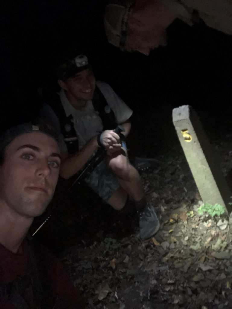
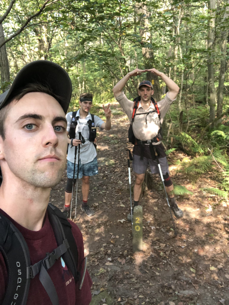
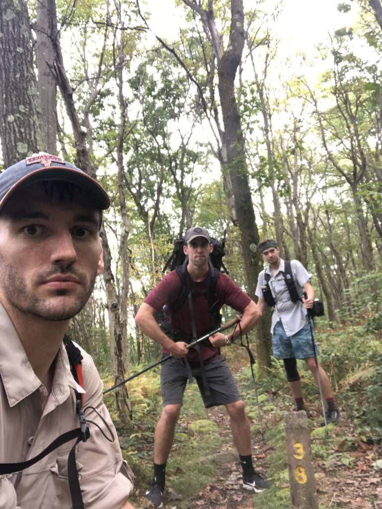
We began the hike at 5:30pm. Our goal with starting today was to knock out a small chunk of mileage and get to the first shelters, allowing us to start early the next morning and marginally shorten the high mileage days. From the parking lot, we followed a short road to the mile “0” marker. Someone had the brilliant idea to take a selfie with the concrete post. Then, as we reached the mile “1” marker twenty minutes later, we decided to take another one. Thus, the obvious goal of taking a selfie at all seventy mile markers was born.
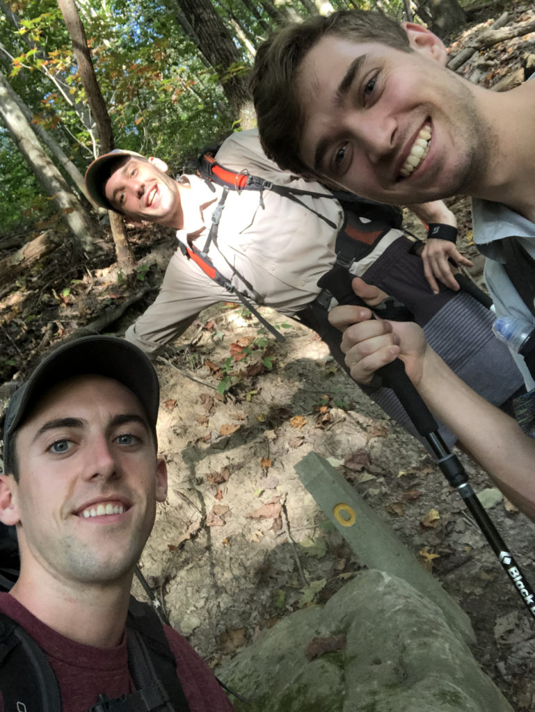
The first seven mile or so are within Ohiopyle State Park. The trail leading from Ohiopyle crests rolling hills that overlook the beautiful Youghiogheny River Valley and crosses a few babbling brooks in the saddles. By 7:00pm we had hiked our first three miles and darkness was beginning to fall. We completed the final three miles in the dark and strolled into camp with our headlamps blazing around 8:00pm. Rather than go to bed early, we decided to build a huge fire, listen to some music, and get drunk late into the night. We drank everything we packed because we didn’t want to carry it tomorrow, another brilliant idea… We were sure stoked to be on the trail together and didn’t know (or care) what the following days had in store for us.
Day 2
Ohiopyle Shelter to Grindle Ridge Shelter
Distance: 18 miles
Elevation Gain: 3,284′
Saturday began with a ridiculous climb out of Ohiopyle onto the Laurel Ridge, nearly 1,200′ in less than a mile and a half. After sleeping in to 9:00am and nursing our budding hangovers, the ascent felt like bad karma or some great reckoning of our decisions the prior night. Nonetheless, we pushed our way to mile marker “8” and were rewarded with a pleasant view of Sugarloaf Knob. It was a beautiful fall day with cool, breezy weather and it wasn’t long before we felt fully recovered and began to cover serious ground. We breezed our way through the next several miles, only stopping once for lunch at 1:00pm.
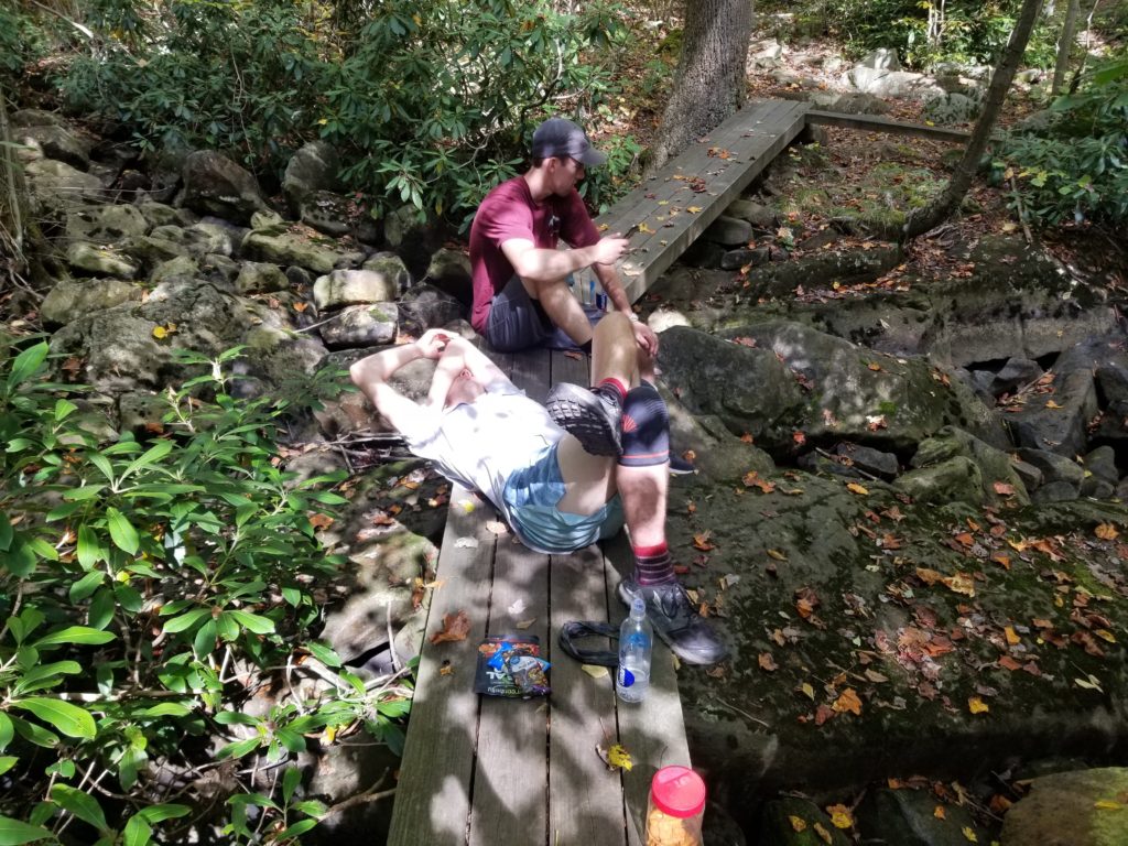
We crossed the threshold into Forbes State Forest, the trail was rocky in parts, but overall very manageable. The trail navigates through tight crevasses in a standing boulder field as it winds its way past Rt 653, one of the most unique sections of the LHHT. Dan stopped at nearly every rock and sized it up, typical rock climber.
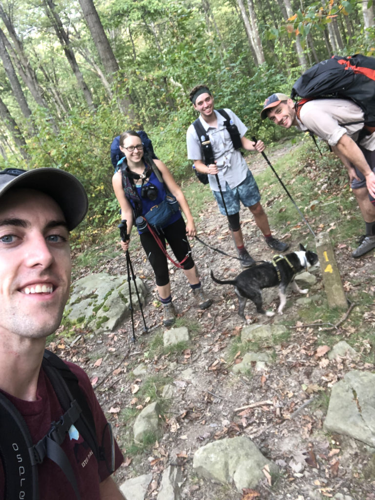
After passing mile marker “20” around 3:30pm, I began to feel the aches creeping into my feet as we trudged forward into increasingly rocky terrain. Fortunately, the remaining miles were level along the ridgeline and we found the Grindle Ridge shelter area around 5:45pm. A man in one of the groups sharing the site with us joked about “his dogs barking”, which then became a regular joke for us.
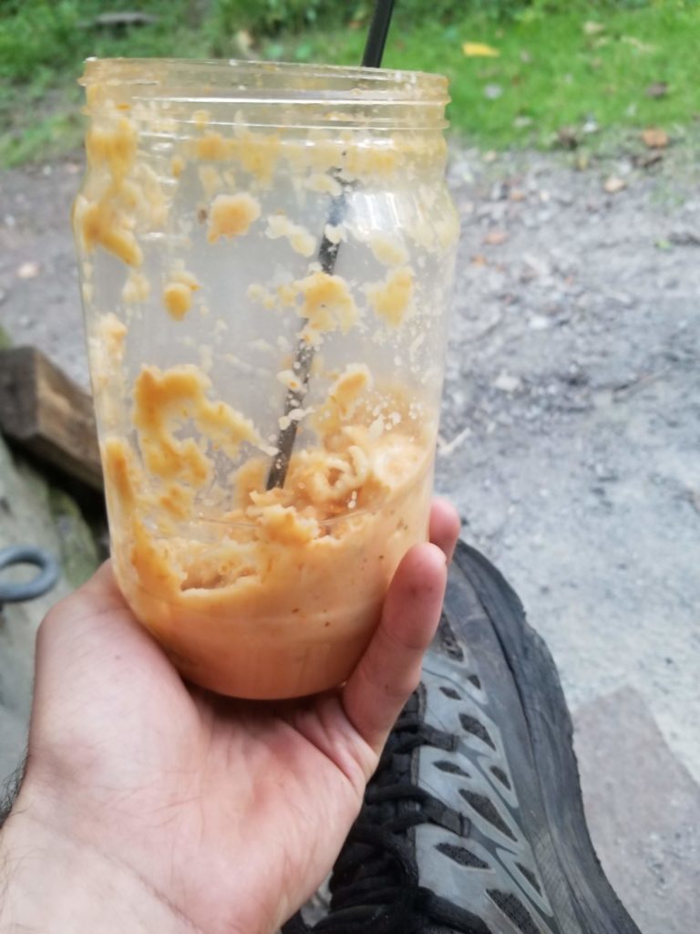
For the first time ever, Tim convinced Dan and I to try “cold soaking” our dinners on the trail. However, he didn’t guide us towards what specifically we should eat so we mostly packed food traditionally served hot. Turns out that cold ramen bombs are completely disgusting and not at all what your body craves after hiking eighteen miles, but we ate what we had knowing we needed all the energy we could get. There was no alcohol tonight, so we relaxed in our shelter and played cards: a much better way to spend the evening in hindsight.
Day 3
Grindle Ridge Shelter to Rt 30 Shelter
Distance: 22 miles
Elevation Gain: 3,349′
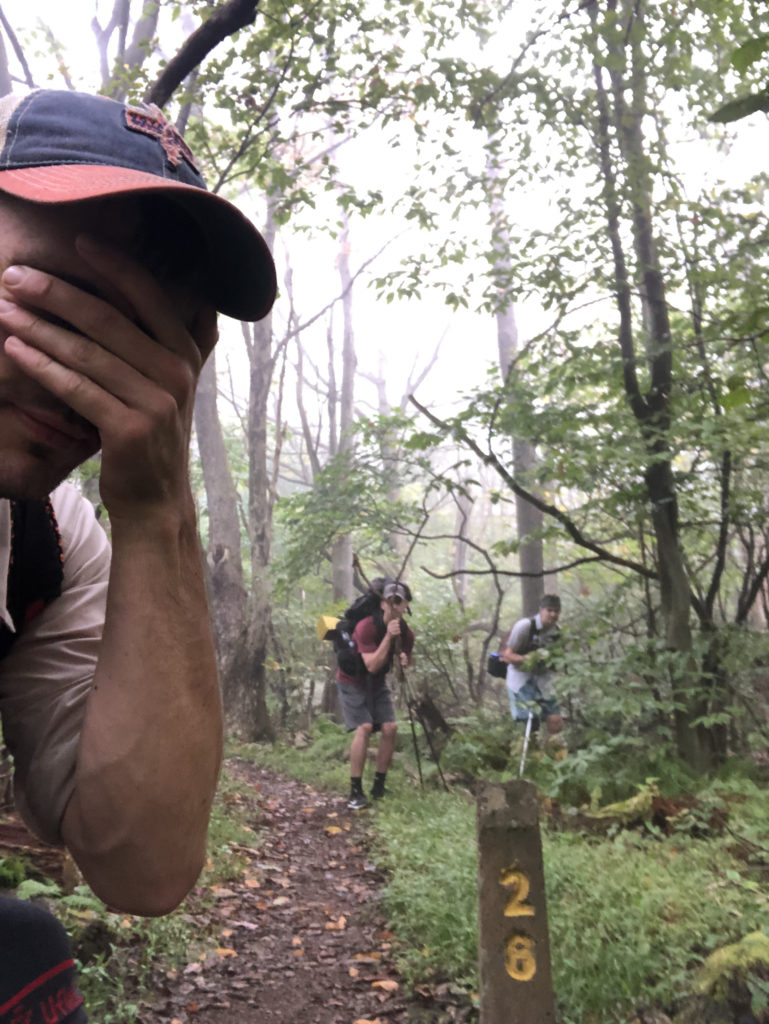
We awoke to a cool, foggy morning on Grindle Ridge. Collectively, we still felt great; no blisters or serious pain to report. The LHHT intersects with the ski slopes in Seven Springs around mile marker “26” and reaches the highest point on the trail at 2,961′. We had learned to time our miles quite accurately by this point, so after being stuck on “26” for nearly forty minutes, we realized we likely missed “27” entirely. Rather than give up, we backtracked for nearly fifteen minutes to find the marker and take our #selfie #worthit.
The trail continues northeast over more rolling hills and dense oak forest, offering some beautiful lookout points of Seven Springs in the following miles. We eventually reached Rt 31, which forms a nice fifteen mile stretch of trail to Rt 30 that I have hiked close to a dozen times in weekend trips over the years. We pressed onward, putting away twelve miles before stopping for lunch on a bridge over a small creek just past the turnpike crossing.
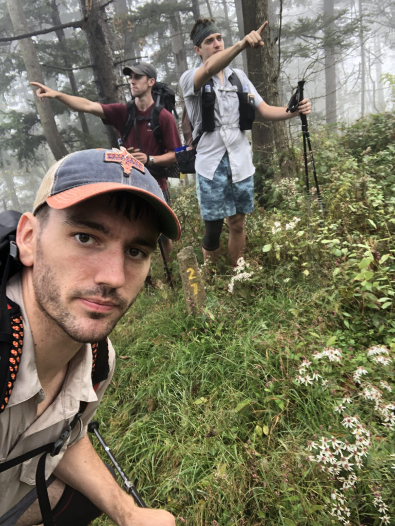
The miles following the turnpike are some of my favorite of the trail. More unique rock formations scatter the landscape at the remarkable Beam Rocks. We took a short break to hop around and take in the view at the overlook. We were nearing the final five miles of the day and our discomfort was growing steadily. We passed a few more small streams and continued climbing up and down the relentless hills before stumbling into camp around 6:20pm. We covered twenty-two miles today, setting a new single-day distance record for all three of us that would stand for less than twenty-four hours.
Day 4
Rt 30 Shelter to Johnstown
Distance: 24 miles
Elevation Gain: 2,874′
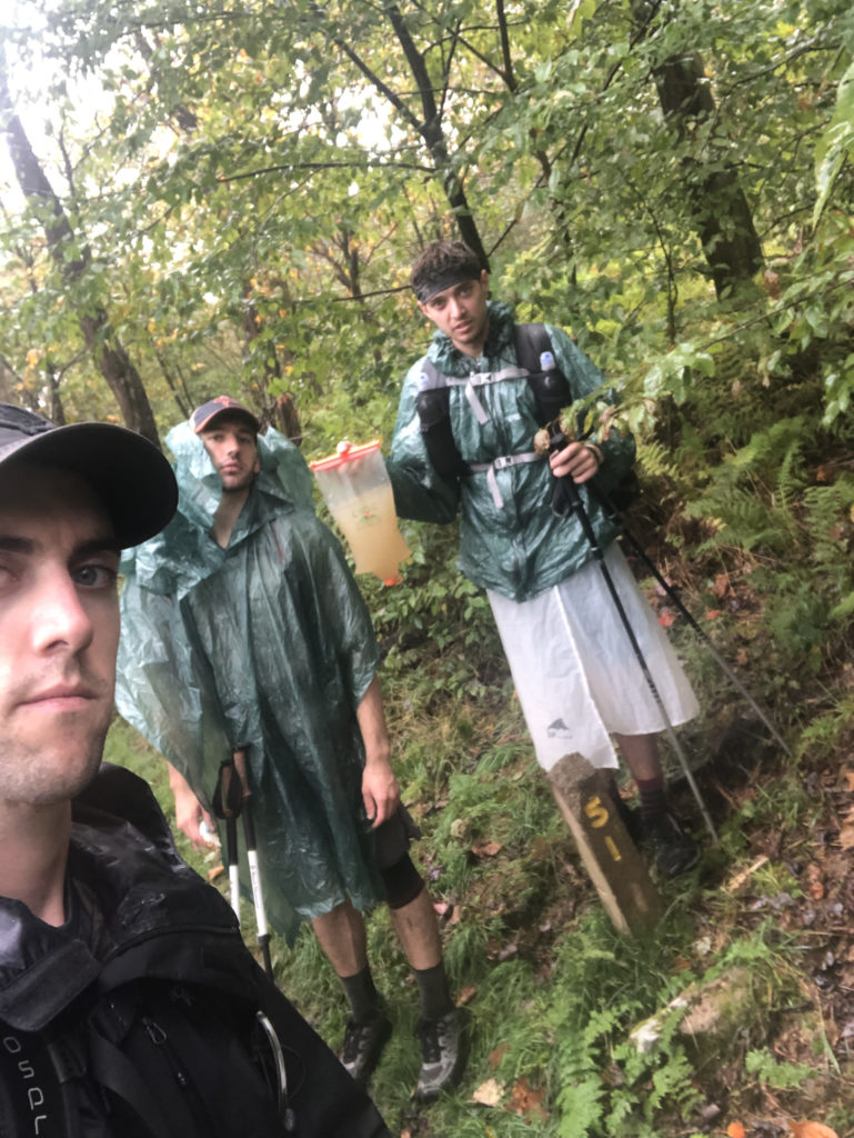
Rain hit us the next morning and continued for the first few hours into the hike. Ironically, we did not pass any substantial water sources either. We all still had some supply from our camp water, but since we anticipated passing streams early on, no one was fully stocked. After a few sloshy miles in the downpour, we passed a muddy water runoff falling down a steep, clay hillside on the side of the trail. I stopped and asked the guys if we should fill up our bladders, to which they disgustedly said no. I went ahead anyway, worried about the dry stretch continuing, and filled up my CNOC about halfway with an opaque mixture that was 50% water, 50% mud. Tim and Dan literally laughed at me.
The rain began to depart as a blanket of heavy fog rolled in. The route flattened out significantly and we weaved through an old growth forest for several miles. After a while, the others were running out of their water supply and we began filtering and rationing the precious mud water: no one was laughing anymore. We began hiking at our fastest pace yet completing miles in twenty minutes or less regularly. By mile marker “57” we were completely out of water and the never-ending ridgeline showed no signs of any being nearby.
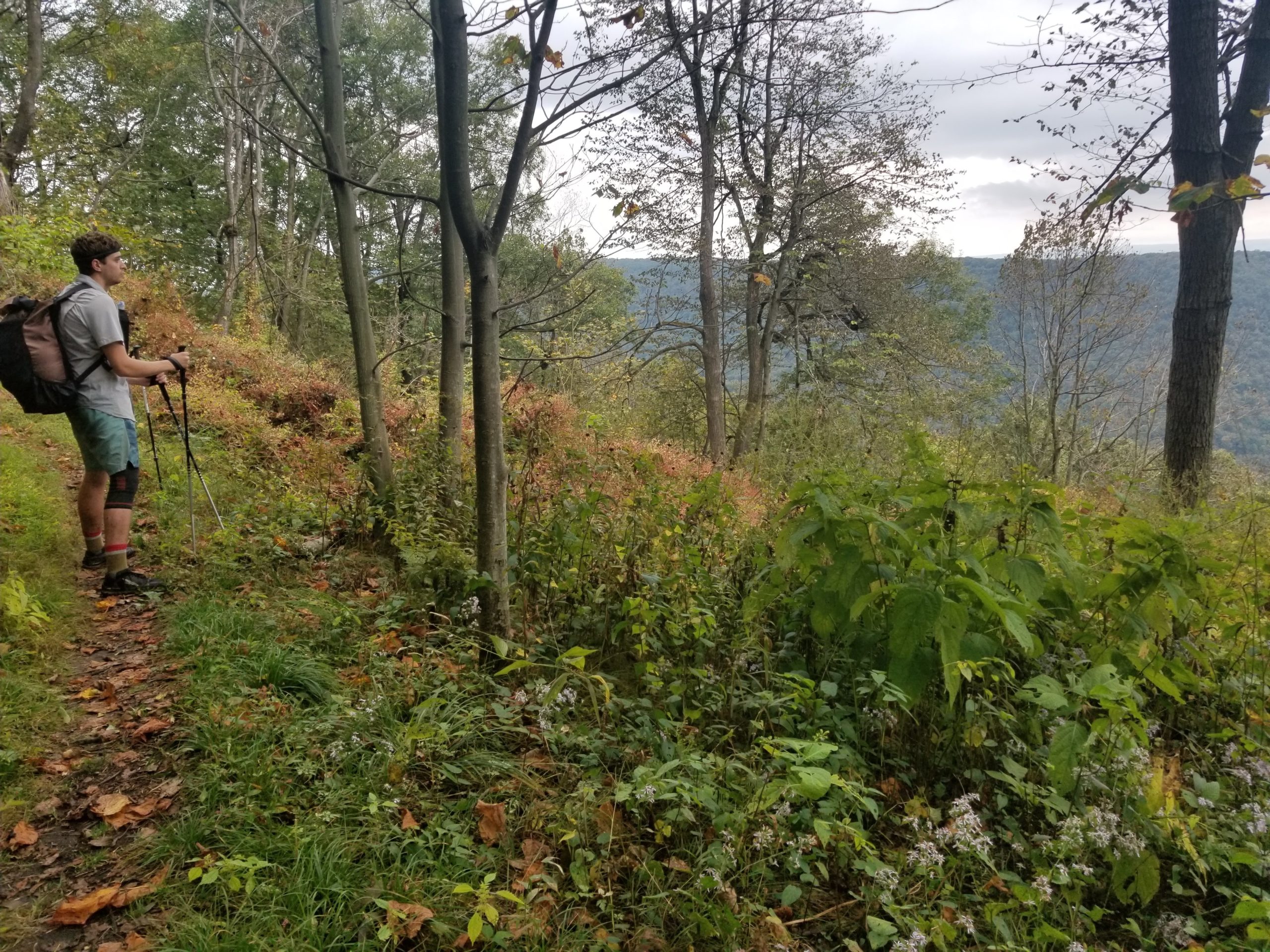
The next seven miles were miserable and completely demoralizing. There was growing tension between the group that resulted in us mostly hiking in silence. My feet were killing me, my knee was screaming in pain, and I was very, very thirsty. We continued hiking at a ridiculously fast pace, if anything we actually sped up as desperation for water was setting in. At one point, we reached a mile marker and Tim (who was timing all miles) checked his watch and said, “this can’t be right, it says we just did a thirteen minute mile” (it was right).
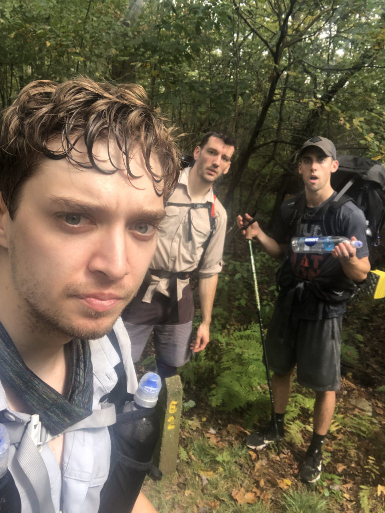
To make matters worse, we crossed into a portion of the forest that was infested with silk worms hanging down from trees by the thousands. They hung annoyingly at face-level, so we found ourselves constantly picking off silk from our faces or holding up our trekking poles as a shield to catch the worms before they collided. We eventually found ourselves at the top of the spur trail leading to the Rt 56, roughly five miles from the finish. However, we were seriously dehydrated and needed water as soon as possible, so we gambled on water being next to the shelters and scrambled down a long, steep hill where we miraculously found a small spring.
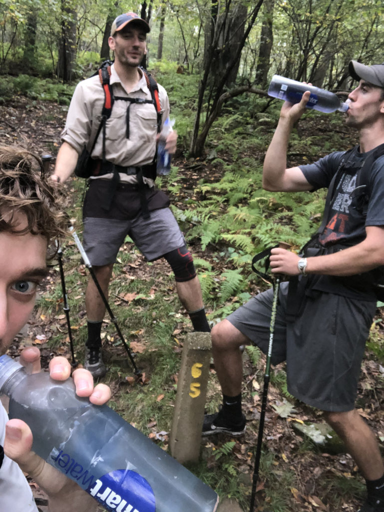
We camel’d up, laid down in a shelter for a while, and ate lunch. Our bodies were horribly abused and even stretching our legs resulted in severe discomfort. The break only exasperated the pain as our muscles began to stiffen up; we knew we had to finish the last five miles fast. We forced ourselves up and set off up the hill. The final section of the trail is within Laurel Ridge State Park, with beautiful overlooks over Johnstown between dark tunnels of mountain laurel. The trail began a descent from the Laurel Ridge near mile marker “67” and we limped down the hill, feeling the sweet allure of salvation from our car.
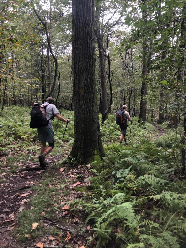
It felt like we were on autopilot when we finally reached the elusive mile marker “70” where we triumphantly howled in pain after completing the entire trail. It is amazing what enjoyment you can derive from shared suffering. Despite that Monday, September 30th being my most difficult day of hiking ever, I look back on it with nostalgia. To celebrate completing the trail, we picked up a buffalo chicken pizza and relaxed in Dan’s hot tub. A reward well-earned, indeed.
