My brother Tyler moved to Los Angeles in early 2021 with his girlfriend Olivia. Eager to catch up with them and explore the area, Amy and I had a flight booked a few months later. We planned to hang out around the city and tour some of the National Parks. Tyler had never backpacked but expressed interest in trying it, so we thought this would be a great opportunity. Since we were visiting in early May, much of the Sierras were still covered in snow so we planned a quick overnighter in the Channel Islands to introduce them to the wonderful world of backpacking.
Where: Santa Cruz Island, part of the Channel Islands National Park which lies off the coast of southern California.
When: May 10, 2021 – May 11, 2021
Distance: 15 miles
Conditions: mid 60s to low 70s, no rain, foggy
Route: https://caltopo.com/m/05VH
Useful Pre-Trip Information
Overview
The Channel Islands are an archipelago of eight islands off the coast of southern California. Of these, San Miguel, Santa Rosa, Santa Cruz, Anacapa, and Santa Barbara are part of the Channel Islands National Park. Santa Cruz is characterized by mountainous terrain, steep cliffs, and sea caves scattered along the coast. Only the far eastern section of the island is accessible to the public. A number of trails, including the Del Norte Trail and Montanon Trail form a traverse across the island from Prisoner’s Harbor, a harbor on the north coast of the island, to Scorpion Anchorage, the other harbor on the east coast of the island. This hike is doable because ferries provide transport to and from both harbors.
Permits
A reservation is needed to camp overnight on Santa Cruz. Additionally, you will need to schedule transportation to and from Prisoner’s Harbor/Scorpion Anchorage from Island Packers.
Water
There is very limited water on Santa Cruz. The only available sources are at water caches at either port and a seasonal stream running along Scorpion Valley.
Transportation
We made a reservation with Island Packers to ferry us from Ventura, CA to Prisoner’s Harbor on Santa Cruz at 9:00am Monday, May 10. We drove from Tyler’s house in LA to Ventura, stopping for some Chick-fil-a breakfast on our way. Once we arrived, we checked in and were directed to load our backpacks onto the ferry. The boat is 65 feet long with two decks and a large assortment of indoor and outdoor seating for guests. A line must have formed long before the boat was scheduled to leave and all of the prime seating of the top deck was taken so we sat on the inside of the lower deck, towards the bow.
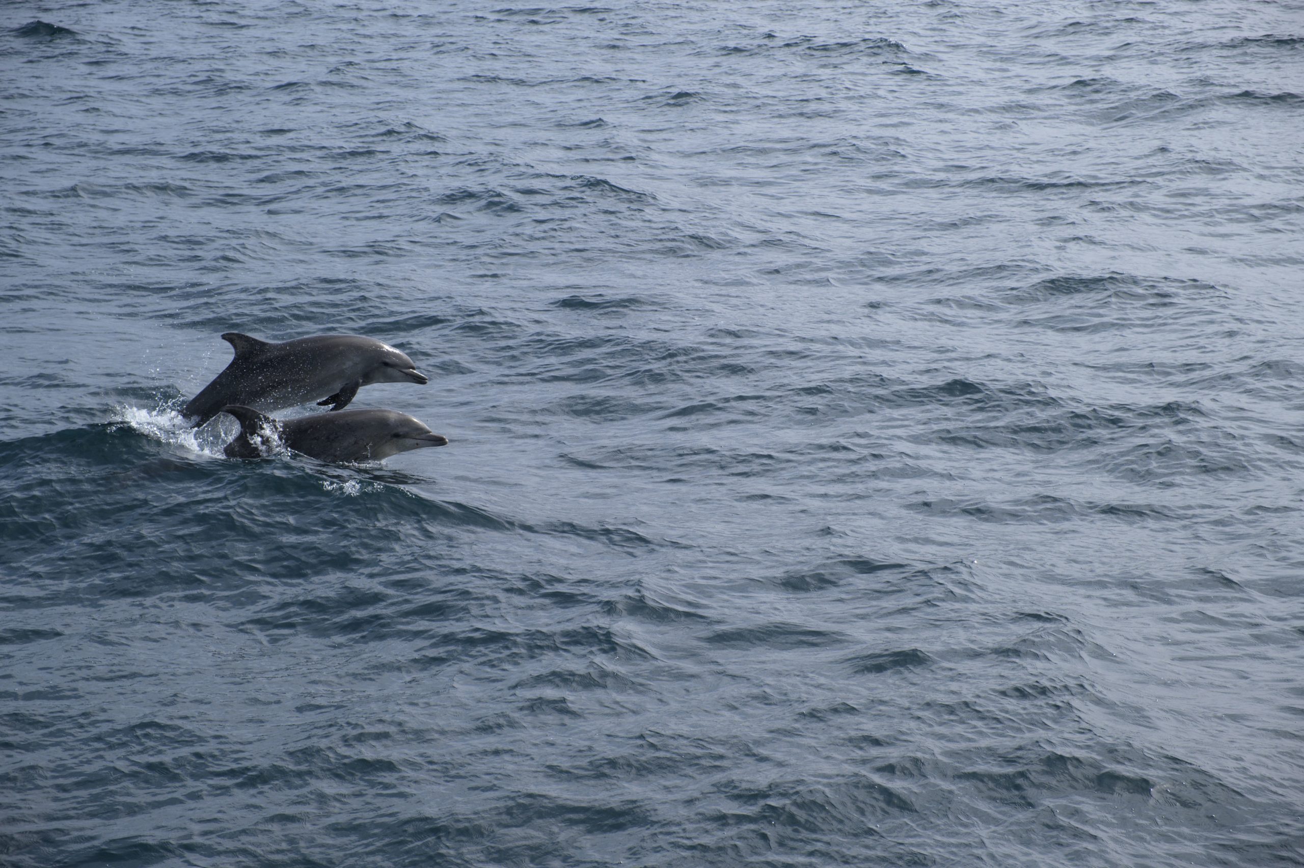
The ferry departed. We were told the journey would take about an hour but we may be making frequent stops to view wildlife. As if on cue, we saw a pod of dolphins following the direction of our boat in the distance. We promptly left our seats to stand on the outer deck and never bothered to return. A short while later, our captain told us to keep on the look out for humpback whales. A crowd began to form on the port side deck and we rushed over to see the show of a lifetime. A humpback whale mother and baby were breaching. We saw momma’s tail flip, then the baby’s tail flip. Momma blew water from her blowhole, the baby blew water from its blowhole. This repeated for a few minutes and then they disappeared. The captain explained that they will sometimes deep dive and do a full-body breach before they depart, but this was rare. Sure enough, we witnessed the magnificent creature shoot out of the water and slam back down maybe fifty yards from the boat. Even better, this continued several more times before our captain regretfully told us we needed to keep going.
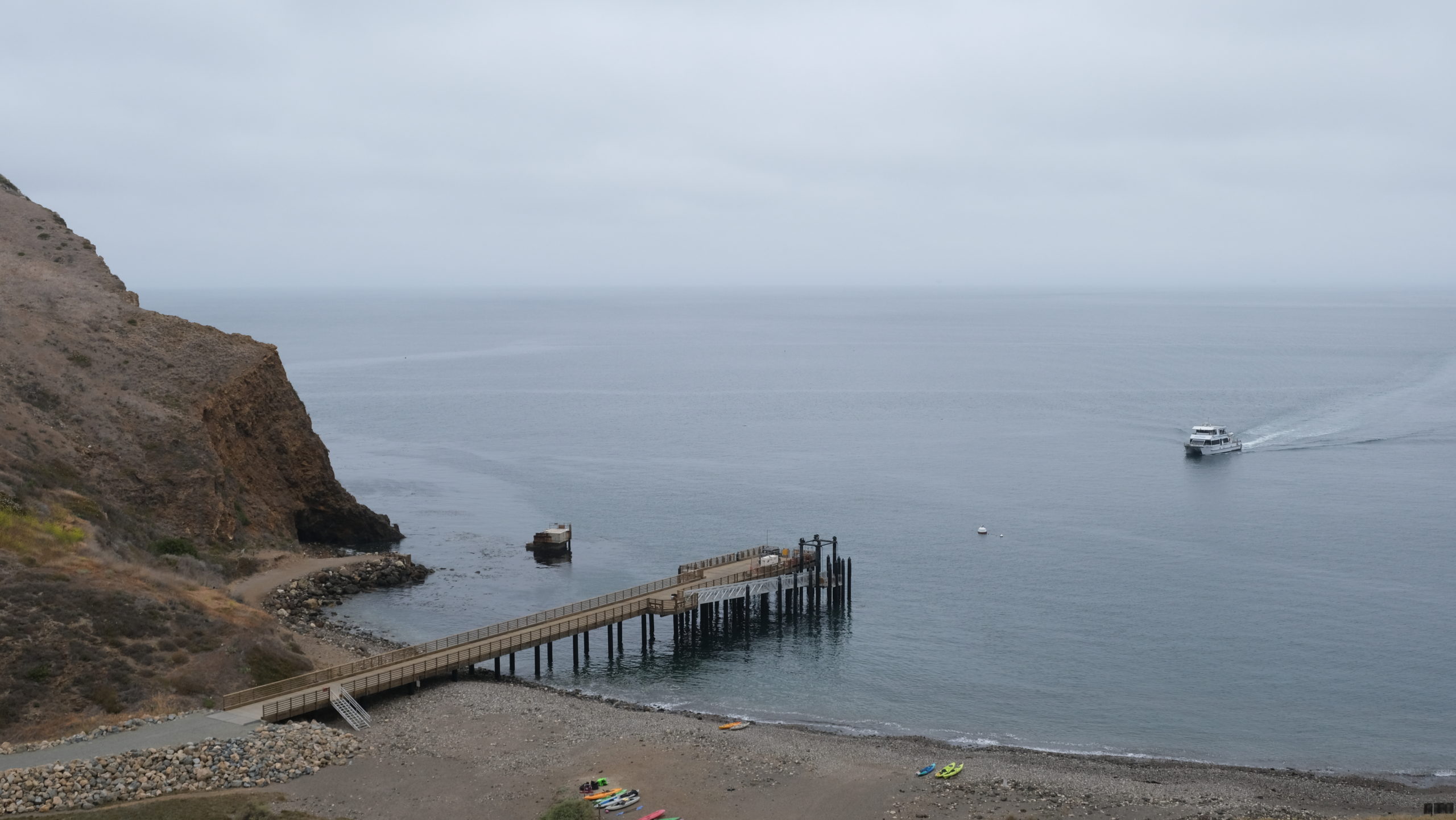
The whale detour slightly delayed our arrival but it was an incredible experience and a highlight of our trip before we had even gotten to the island! After dropping off passengers at Scorpion Anchorage, we pulled into Prisoner’s Harbor around 10:45am. We grabbed our gear and followed a gravel road away from the dock where we began our hike.
Day 1
Prisoner’s Harbor to Scorpion Campground
Distance: 12.6 miles
Elevation Gain: 3,335′
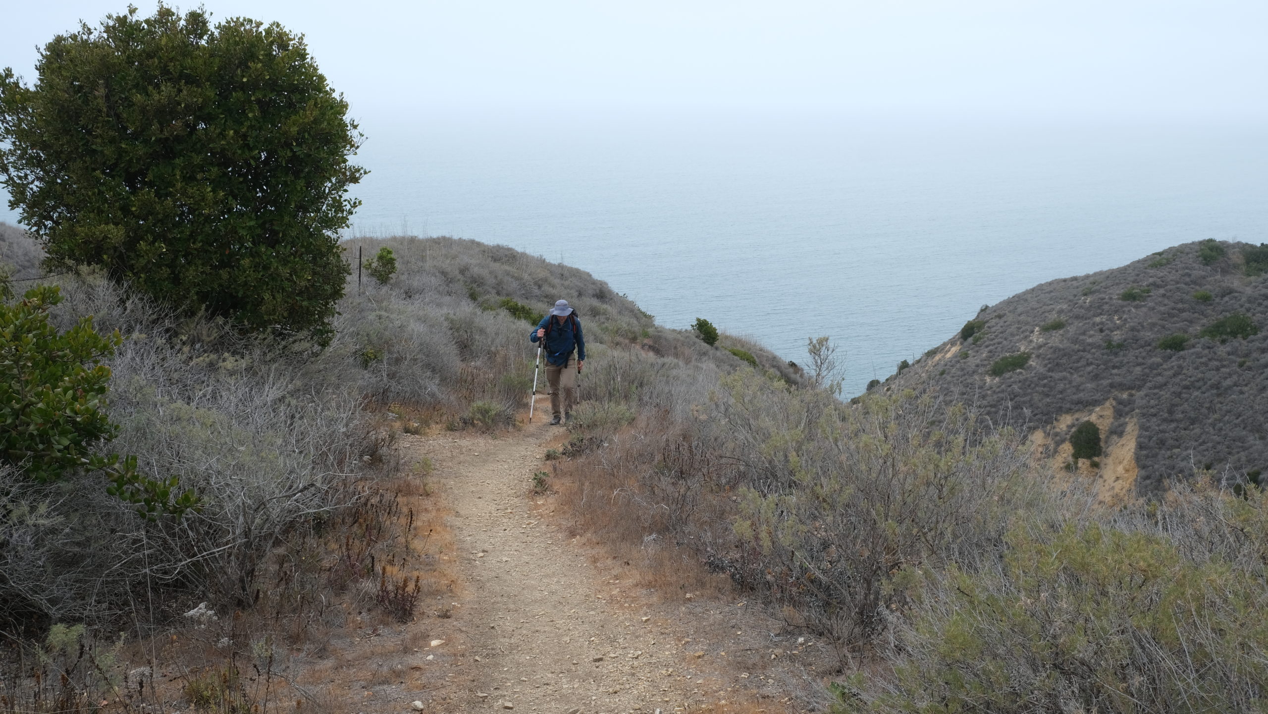
There was a recurring theme for the weekend: fog. It is common for marine layer fog to blanket the Channel Islands in the springtime. While it was disappointing that some of the overlooks were shrouded, the fog created a unique, eerie atmosphere that complimented the exotic island landscape of Santa Cruz. The road leading from Prisoner’s Harbor took us up a steep climb right off the bat, going from sea level to about 600′ in a mile and a half before we connected with the Del Norte Trail. The fog was extremely thick during the first half of the hike. From our position on the cliffs within a quarter mile from the coast, the horizon was barely visible as the water and sky melted together in a cold, grey hue. We traversed steep, hilly terrain through endless fields of buckwheat shrubs and coastal sage as the trail flattened out at the top of the cliffs.
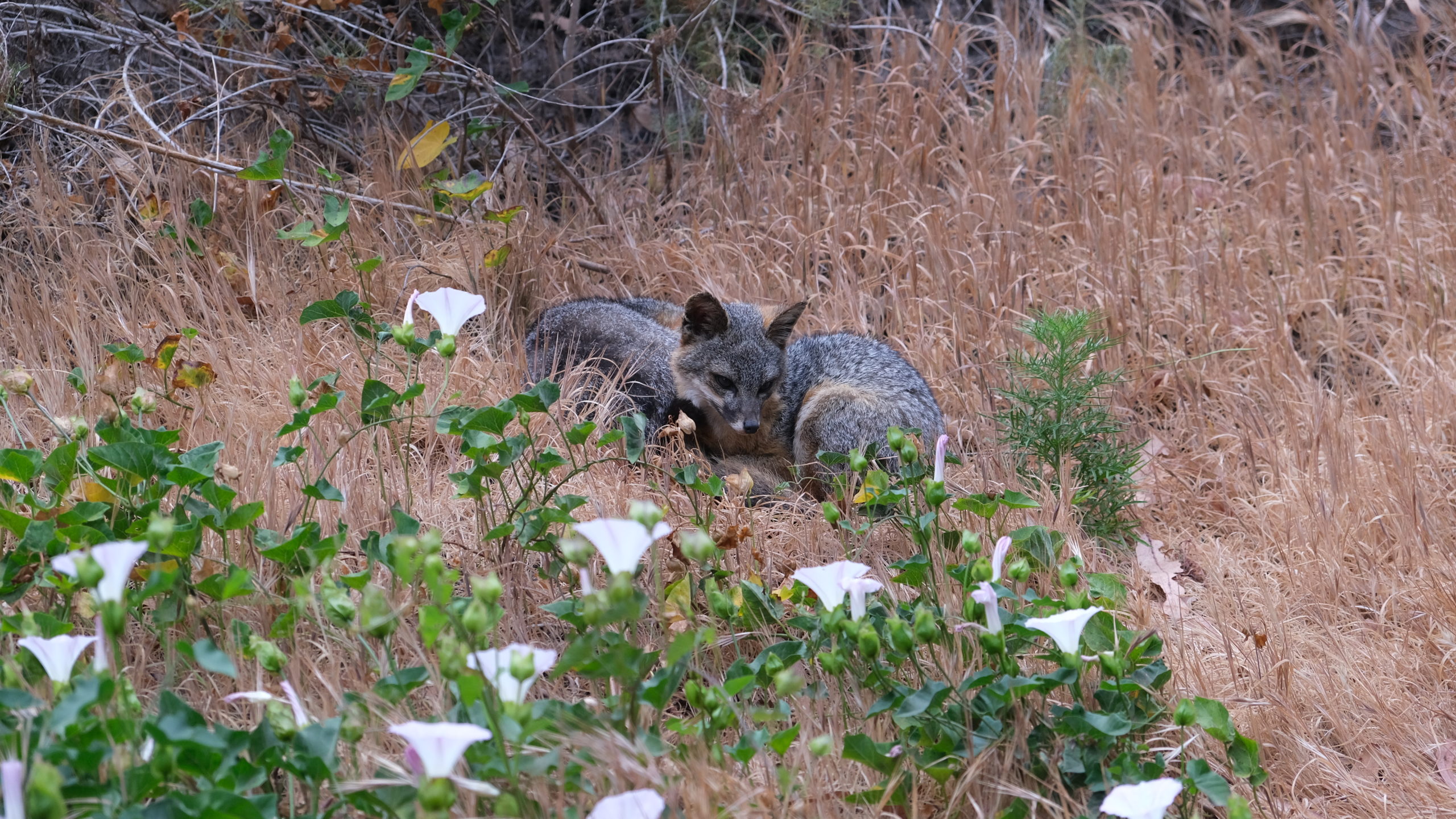
We came across even more wildlife before long, a tiny fox was standing on the trail ahead of us and promptly fled into the bushes. It turns out, the Channel Islands are home to an endemic subspecies of the gray fox called the island fox, found nowhere else on Earth. The adorable little guys kept popping up all over the trail, certainly a nice surprise.
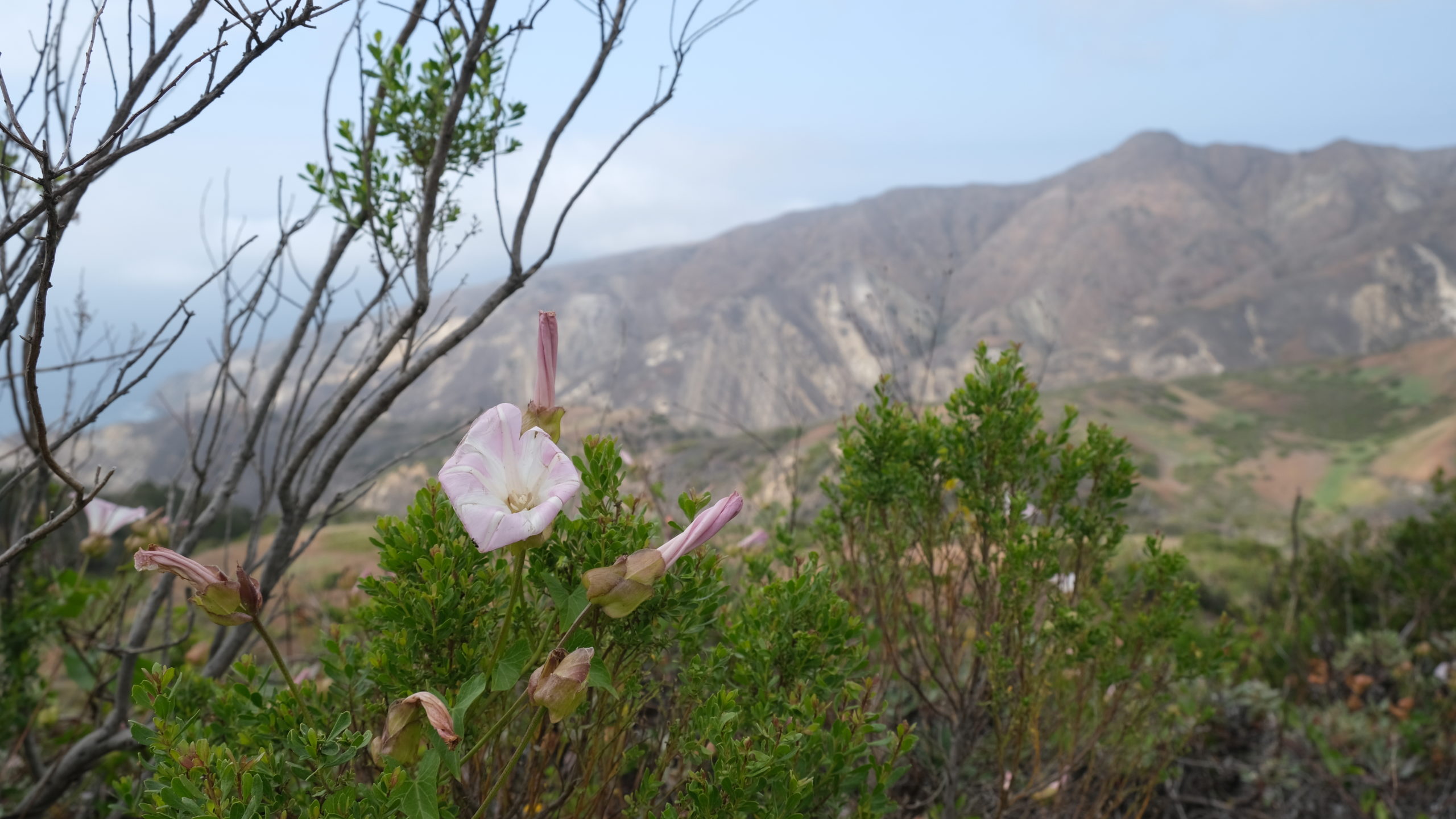
The Del Norte Trail continued to gradually climb over several miles. Tyler and Olivia were crushing it so we pressed forward with minimal stops until it was time for lunch. After starting back up, the terrain grew progressively steeper as we approached the end of Del Norte Trail. The fog was receding and we had a splendid overlook of El Montanon in the distance as the sun flirted with peeking out of the clouds. Wildflowers were abundant in this section and were in bloom.
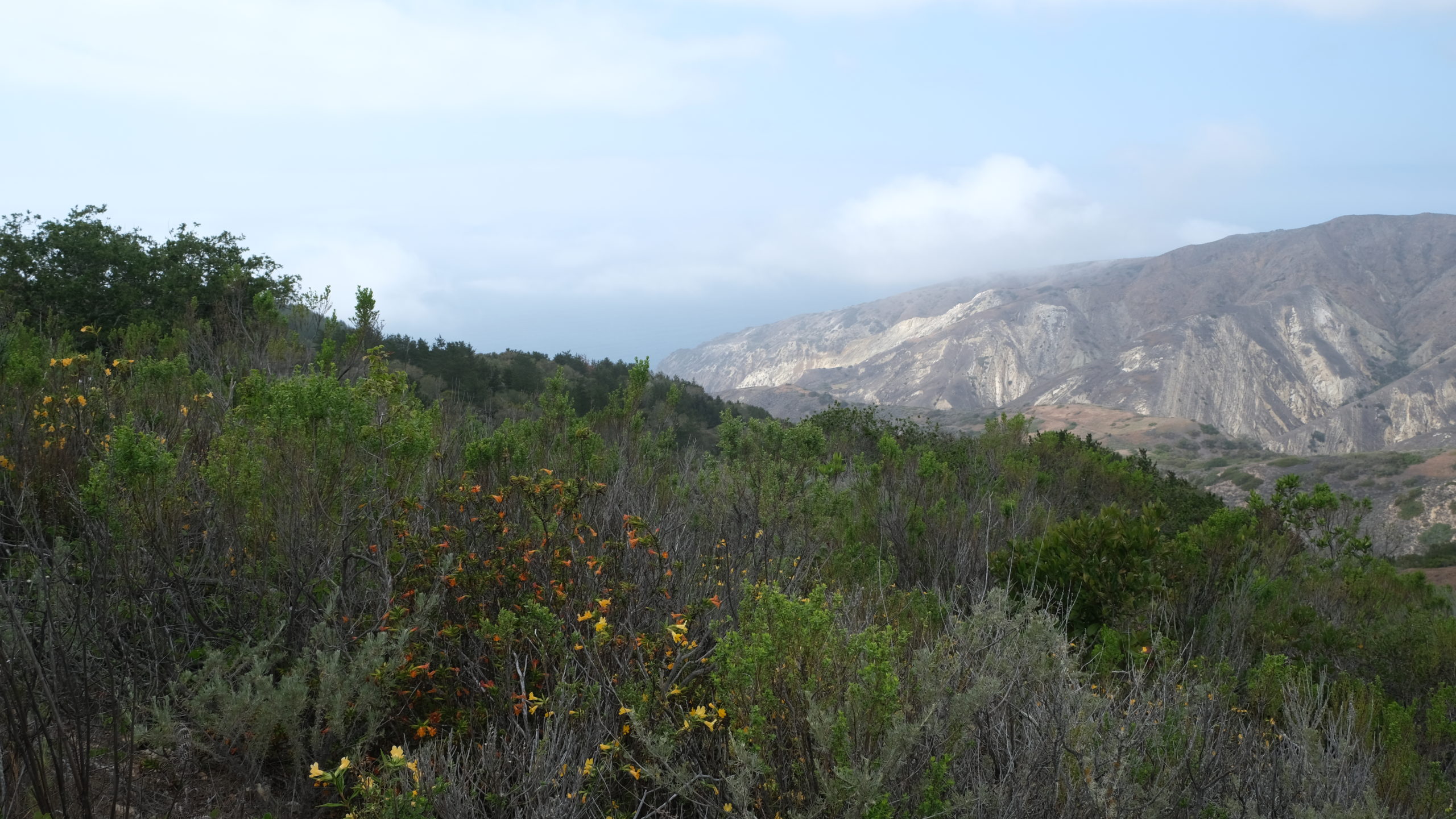
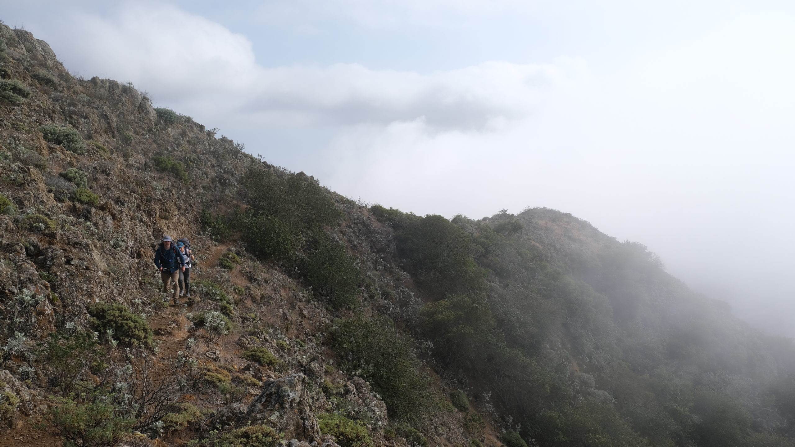
We continued east, now following Montanon Trail which climbed to Montanon Ridge. This was the most difficult climb of the day. We wound our way along a narrow ridge, with cacti and a steep drop along the side, just as a wave of thick fog rolled in near the crest of the Montanon Ridge. We were not planning on summiting El Montanon, especially since most of the view was white-out anyway, so we trudged ahead to the opposite edge of the ridge where the view finally opened up onto the other half of the island.
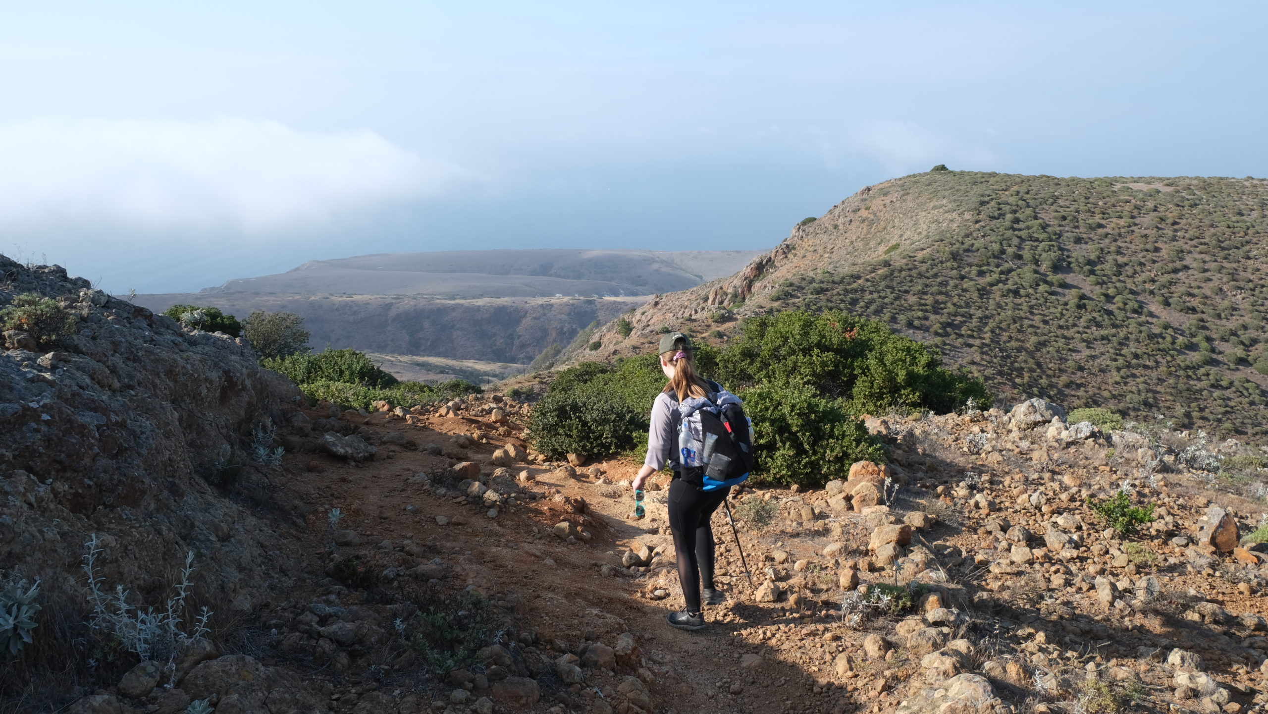
The sun finally came out and it was here to stay. The eastern side of the island was illuminated and the rolling hills came to life as we neared the coastline. We had hiked over ten miles and 3000′ of elevation at this point, which was not exactly a cakewalk for first time backpackers. Forking off of Montanon Trail, we joined Scorpion Loop Trail which would lead us directly to our campground. We passed an old oil well with ancient, rusty pipelines that had apparently been built in the 1960s and left abandonded. We breifly explored the remains then powered through three more miles before reaching Scorpion Valley and our campsite.
The campground was flat and spread out through some of the tallest trees on the island. Our particular site was isolated along the dried river bed. There were a few other groups in the area, but the campground was largely dominated by foxes. We setup our camp, ate some luxurious Mountain House cuisine, and played Pass the Pigs into the night.
Day 2
Potato Harbor Day Hike
Distance: 2.6 miles
Elevation Gain: 512′
There is a network of trails sprawling out from Scorpion Anchorage, as this is the primary tourist destination on the island. We only had our campsite for a few hours in the morning, but were not scheduled to ferry home until 4:00pm. This gave us plenty of time to continue exploring the island after tearing down camp. Near the dock were a few buildings and amenities, the only real infrastructure on the island. We stowed our packs in a fox-proof container near the visitor center and brought some water and snacks along for the hike.
We traveled north to Cavern Point, which started as steep climb out of the river valley of Scorpion Anchorage. It flattened out abruptly at the top and a trail followed closely along cliffside. Cavern Point was a particularly epic cliff that stuck out in dramatic fashion over the ocean. From there we continued following the coast, wrapping back around westward for another half mile until we reached Potato Harbor. The harbor was a magical inlet contained within more jagged cliffs. Waves crashed along the coast and we spotted seals resting on tall rocks in harbor.
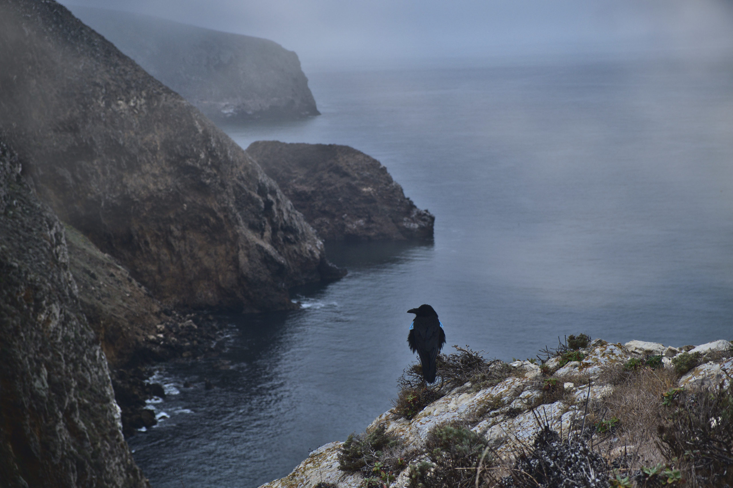
We doubled back towards the campground, and with a few more hours to kill we decided to head towards Smugglers Bay. Another steep climb awaited us in the opposite direction away from Scorpion Anchorage. The landscape of this part of the island reminded me of pictures I’ve seen of the hillsides of Scotland or even Iceland. We passed rolling grass hills with picturesque groves of trees and bright yellow wildflowers. After another mile or so, we reached the crest of a hill that overlooked the southwestern coast with Anacapa Island in the distance.
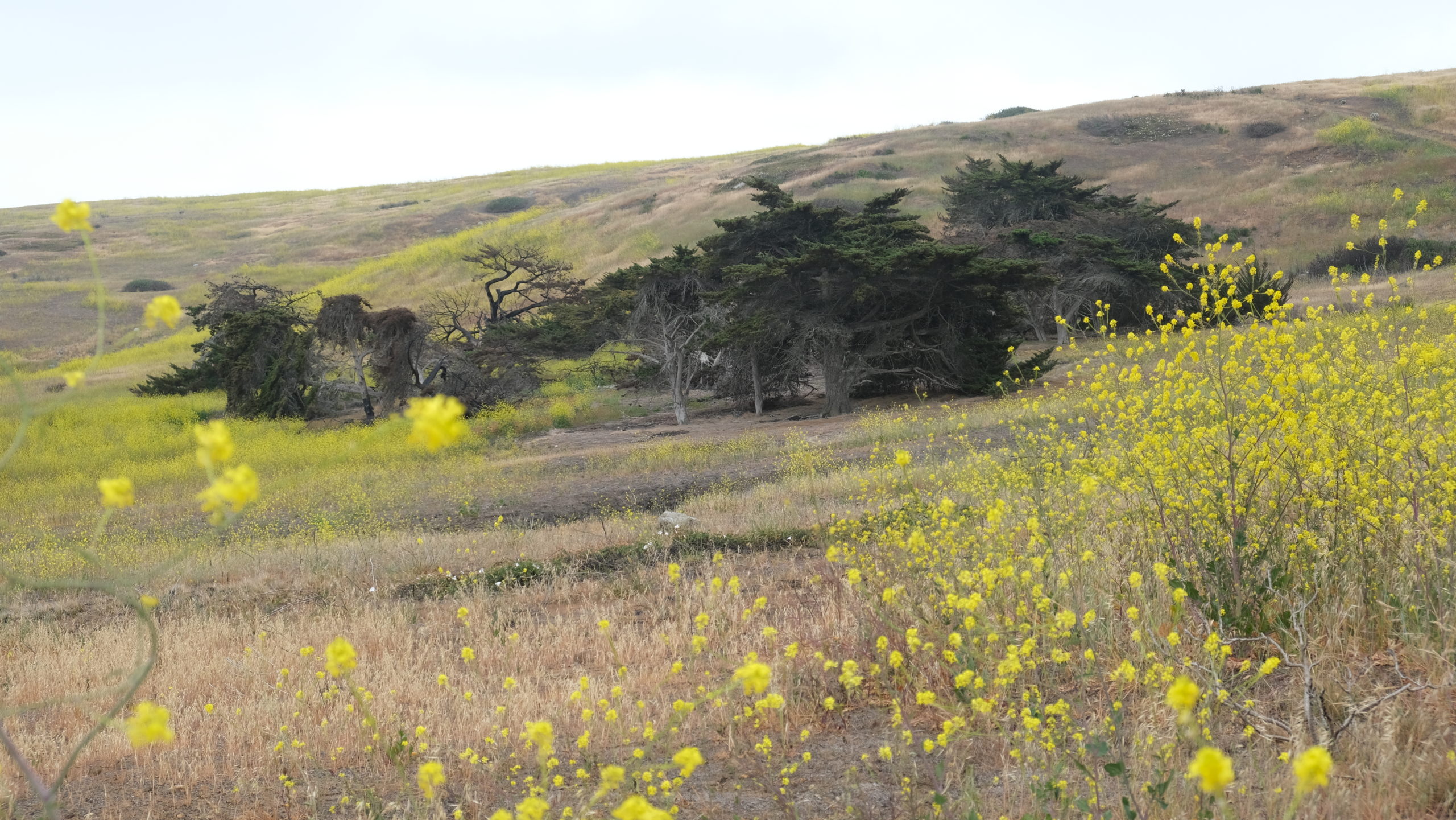
We returned to Scorpion Anchorage, spent some time in the visitor center, and learned more about the unique native plants and animals the inhabit the island. Then, we loaded back onto the ferry at 4:00pm and began our journey back to the mainland. The ride home was equally amazing, this time with both common and bottlenose dolphins swimming alongside a few yards from our boat. We were endlessly impressed with what this small, underappreciated National Park had to offer, I would love to return to explore the other islands someday.

Thanks for your blog, nice to read. Do not stop.
Thank you!