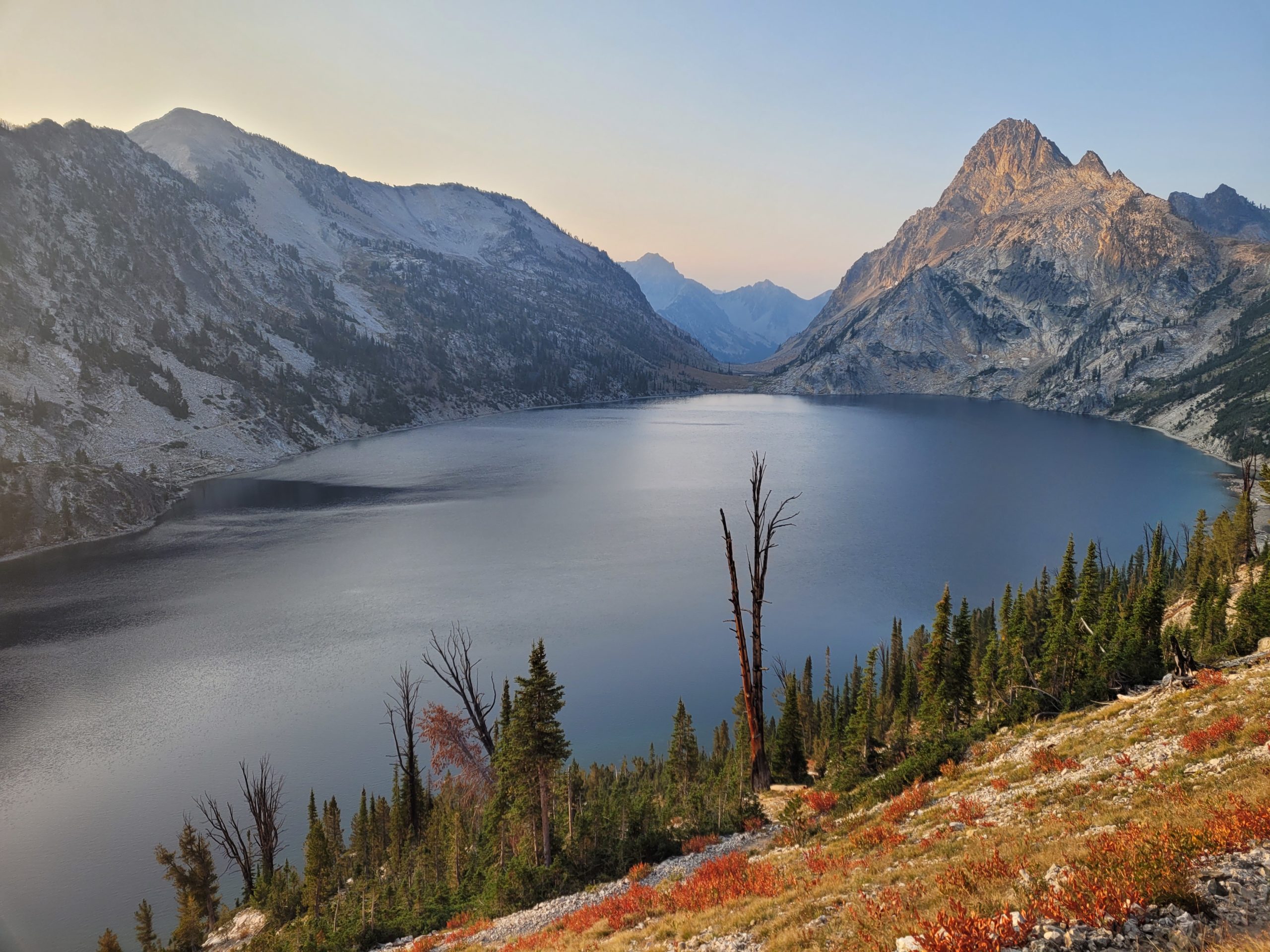
After a successful group trip in 2020, we decided to make it an annual tradition. Amy, Tim, and I were returning and now our good friend Dan was joining too. The more the merrier! We debated trails and locations around the country, but ultimately decided on Idaho, because why not? We had slightly less vacation time so wanted to keep logistics simple and the mileage a tad shorter. As a bonus, we had been meaning to explore the city of Boise for quite some time.
Where: Sawtooth Wilderness, encompassed by the Sawtooth National Forest in central Idaho.
When: August 14th, 2021 – August 18th, 2021
Distance: 70 miles
Conditions: Mid 50s to high 80s, no rain
Route: https://caltopo.com/m/JF65
Gear: https://lighterpack.com/r/50hxyw
Pictures: https://photos.app.goo.gl/mN9jpepcCC1XNZG58
Useful Pre-Trip Information
Overview
The Sawtooths are a mountain range of the Rocky Mountains in central Idaho, a few hours northeast of Boise, ID. They are characterized by jagged peaks, rugged terrain, and alpine lakes. The greatest appeal to this area, aside from the breathtaking mountains, is the sheer remoteness of it all. The area is largely inaccessible except on foot which makes it truly a hiker’s paradise. We formed our own variation of the more popular, “Sawtooth Wilderness Loop” that starts at Grandjean Campground and passes a number of highlights in the area including Baron Lakes, The Temple, and Sawtooth Lake.
Permits
There are no permits needed to hike or backcountry camp within the Sawtooth Wilderness.
Water
Water was plentiful for the trail. We were warned of a dry section south of Redfish lake and hauled additional water up some steep hills before coming upon a healthy stream only a few miles later. There are many alpine lakes and streams along the route, most of which appeared to be flowing well enough to persist even the driest months of the year.
Transportation
Amy, Tim, and I flew out of Pittsburgh around 4:00pm on Friday, August 13th and met Dan at the Boise airport, who was flying in from Denver. We rented a 2011 Kia Soul from Turo that I had to Uber to the owner’s house for pickup. This would not have been my first choice of a rental car, but due to the outrageous prices resulting from the pandemic, we decided on this as it was the cheapest offer by far. It was a bit of a squeeze, but we were able to fit the four of us, plus backpacks and clothes for afterwards without too much trouble. After grabbing the car, we drove to the hotel near downtown Boise where we were staying for the night.
We woke up around 6:30am on Saturday, stuffed ourselves with waffles from the free continental breakfast at our hotel, and started heading north to Grandjean Campground. The drive took about 2.5 hours from Boise. It is worth noting that the ~5 miles leading to Grandjean follow a rough dirt road with grooves and potholes. Nothing our trusty Kia couldn’t handle but having a truck or other 4WD vehicle would have made this part much easier.
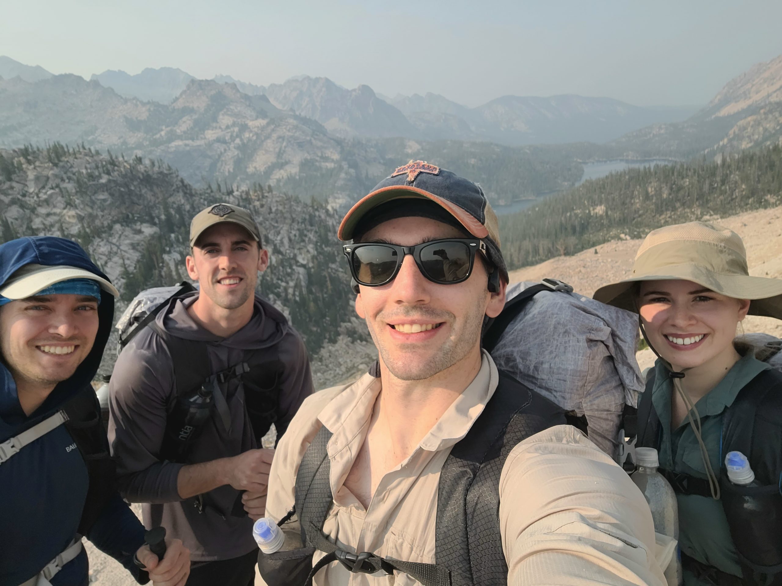
Day 1
Grandjean Trailhead to Alpine Lake
Distance: 12.5 miles
Elevation Gain: 4,185′
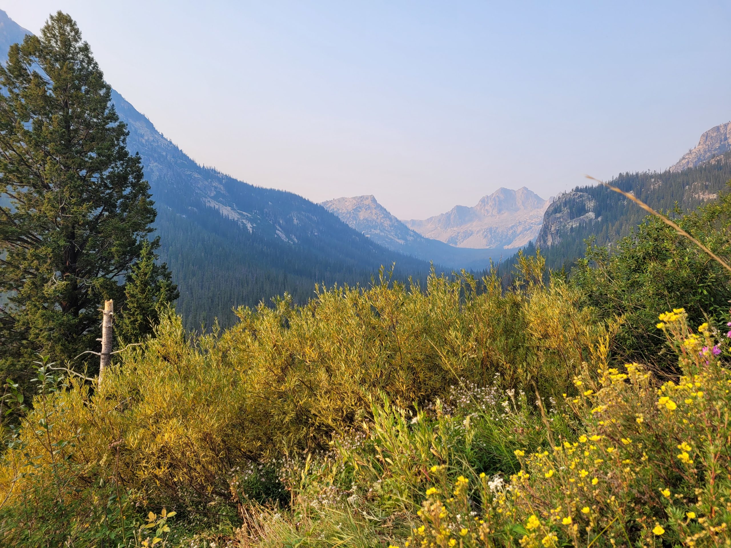
Once we arrived, we used the restroom near the trailhead, loaded up our gear, and set-off counter-clockwise on our route sometime before noon. Temperatures were already nearing the 80s. The trail began in a dense forest of conifers as we climbed our way to Baron Creek, which we would continue to follow for almost the entire day. Upon crossing the creek for the first time, the terrain began to open to expansive views to either side of the trail as it followed the valley between Baron Peak to the east and Grandjean Peak to the west.
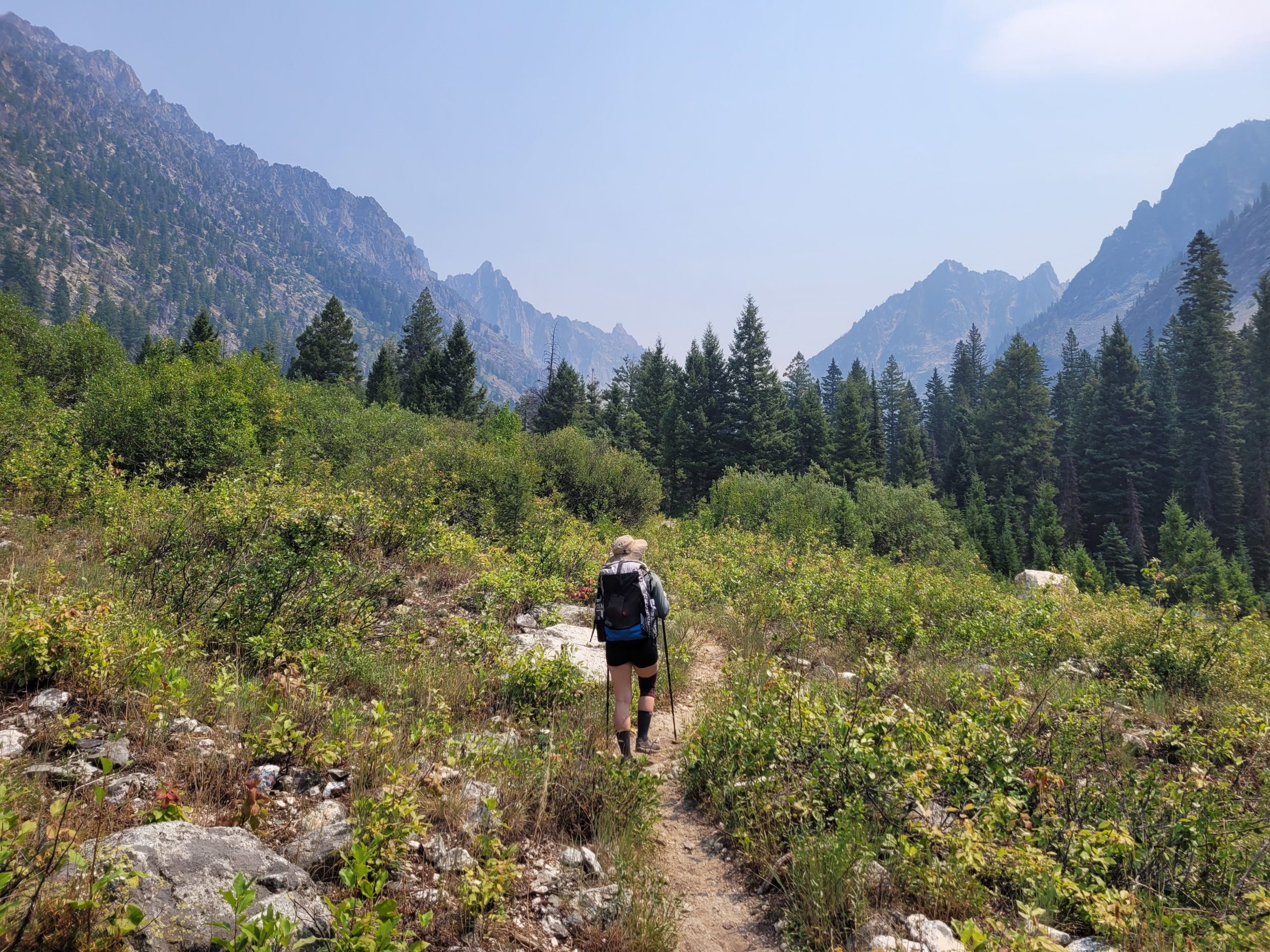
Elated to have finally started our trip and having such epic mountains greet us in the first few hours made the hiking easy as we gradually climbed our way out of the valley towards Baron Lakes. We took lunch on a particularly beautiful crossing on Baron Creek. The water was some of the clearest (and tastiest) I have ever seen in the backcountry.
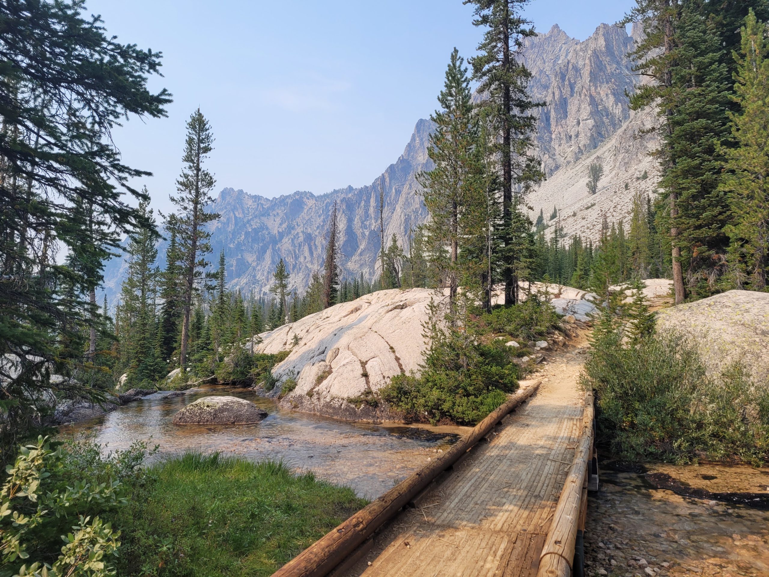
Sometime later, we passed Tim’s dad, Chris, and his buddy Charlie, who were finishing up an overlapping hike in the area, camped along a stream before Baron Lake. We chatted briefly and told them we planned to make it over the pass to Alpine Lake before camping for the night. They seemed to view this as an ambitious endeavor and told us we had better get moving as it was steep and rocky ahead.
Baron Lakes were stunning. As these were the first set of alpine lakes we came across, we were never sure if there was some bias or if these lakes and the spectacular overlook following were some of the most picturesque of the entire trip. The two gorgeous lakes nestled at the base of grand, jagged peaks gave us our first taste of what this area had to offer. The climb afterwards was certainly no joke, but our legs were fresh, and minds were in good spirit, so we were able to knock it out and descend to Alpine Lake in good time. We arrived at camp before 7:00pm that evening. In total we hiked about 13 miles and just under 4400′ of elevation gain. One hell of a warmup.

Alpine Lake was not nearly as pretty as Baron Lakes. However, it was less crowded and had plenty of flat ground in the area to pitch our tents. Our site was riddled with chipmunks and we eventually began a rotating assignment of “food duty” to guard our food bags from the rodent intruders. There were also bees that swarmed us as we were eating our cold-soaked dinners. We ultimately admitted defeat, hung our food as soon as we finished eating, and retired early, eager to see what the next day had to offer.
Day 2
Alpine Lake to Imogene Lake
Distance: 16.6 miles
Elevation Gain: 3,900′
We rose with the sun, ate a good breakfast, and hit the trail by about 7:45am. Our hike continued our descent to Redfish Lake Creek. There was a cool breeze funneling through the hills, a nice contrast to the high temperatures we dealt with the day before. The sun peaked over the mountains, illuminating the valley covered in dense firs and created a lovely atmosphere for the first few miles. The peaks in the distance were smothered by wildfire haze, forming a beautiful gradient with the sunrise.

The crossing of the creek at the bottom was probably the most difficult of the entire trip, requiring us to carefully hop along slick rocks and narrow logs to avoid getting our shoes soaked. I imagine it would be very difficult to stay dry without trekking poles, but our group was prepared. Fortunately, the terrain for the next few miles was easy, traversing through shaded forest on what was probably the flattest portion of the hike.
Cramer Lakes are back-to-back-to-back, grade A alpine lakes. We pushed past Lower Cramer and came across an amazing waterfall flowing into Middle Cramer and realized all three of the lakes flow into one another. We hiked a bit father before taking a long rest on Upper Cramer, serene and secluded.

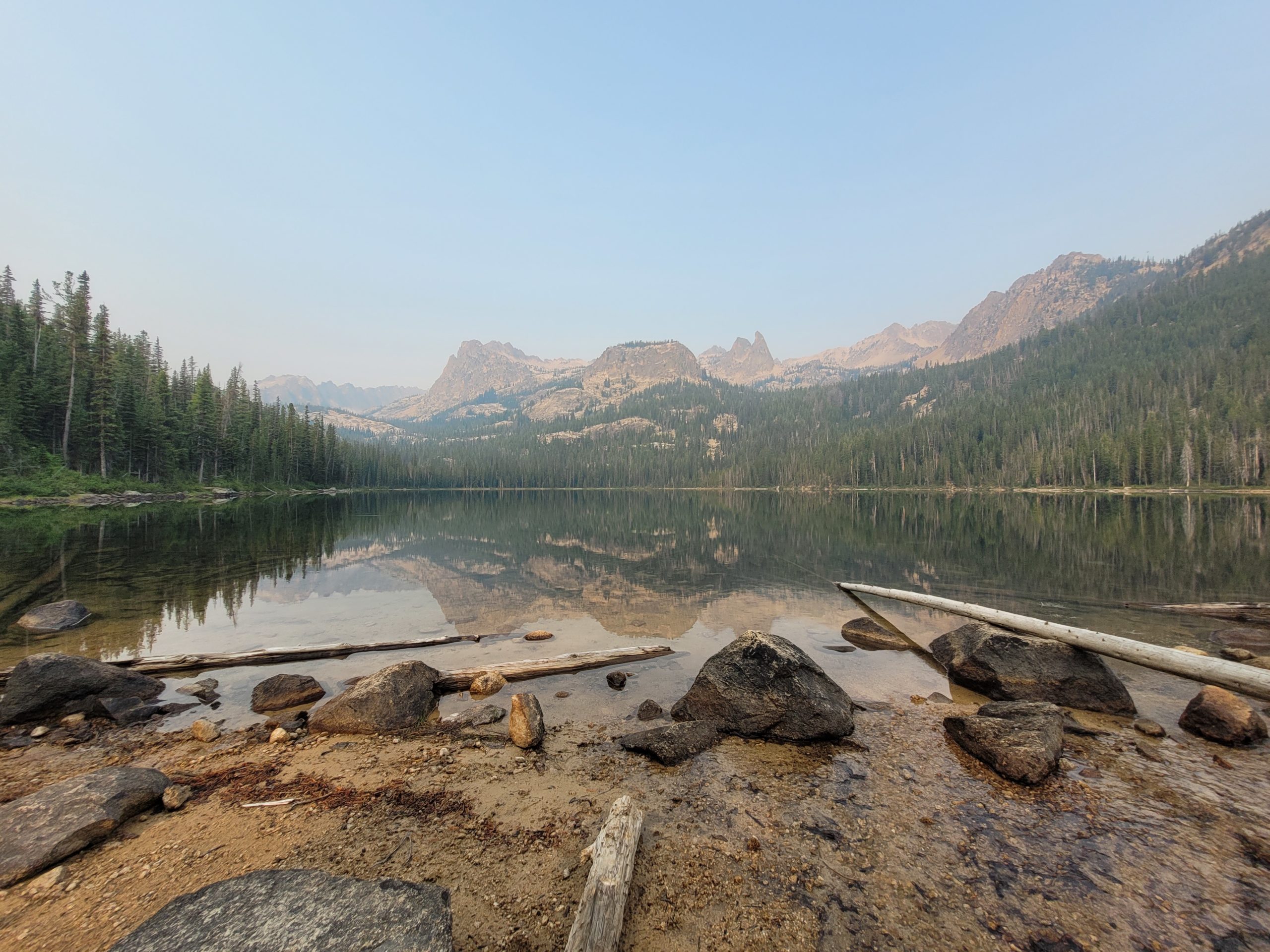
Up next was the most daunting pass on our itinerary, skirting a mountain called The Temple, just under 10,000′. This section was distinct from the rest of the trail; an endless sea of loose rocks, sparse trees, and steep terrain that was unlike anything I have seen before. I threw on some upbeat music and we made the climb. At the top, we were greeted with an expansive view of the opposite side of the mountains, including more alpine lakes farther down our route. The next few miles were steep downhill as we approached Hidden Lake. We took lunch here and decided to cool off by swimming in the frigid waters. Dan and Amy swam to a small island about thirty yards from the beach to practice their diving.

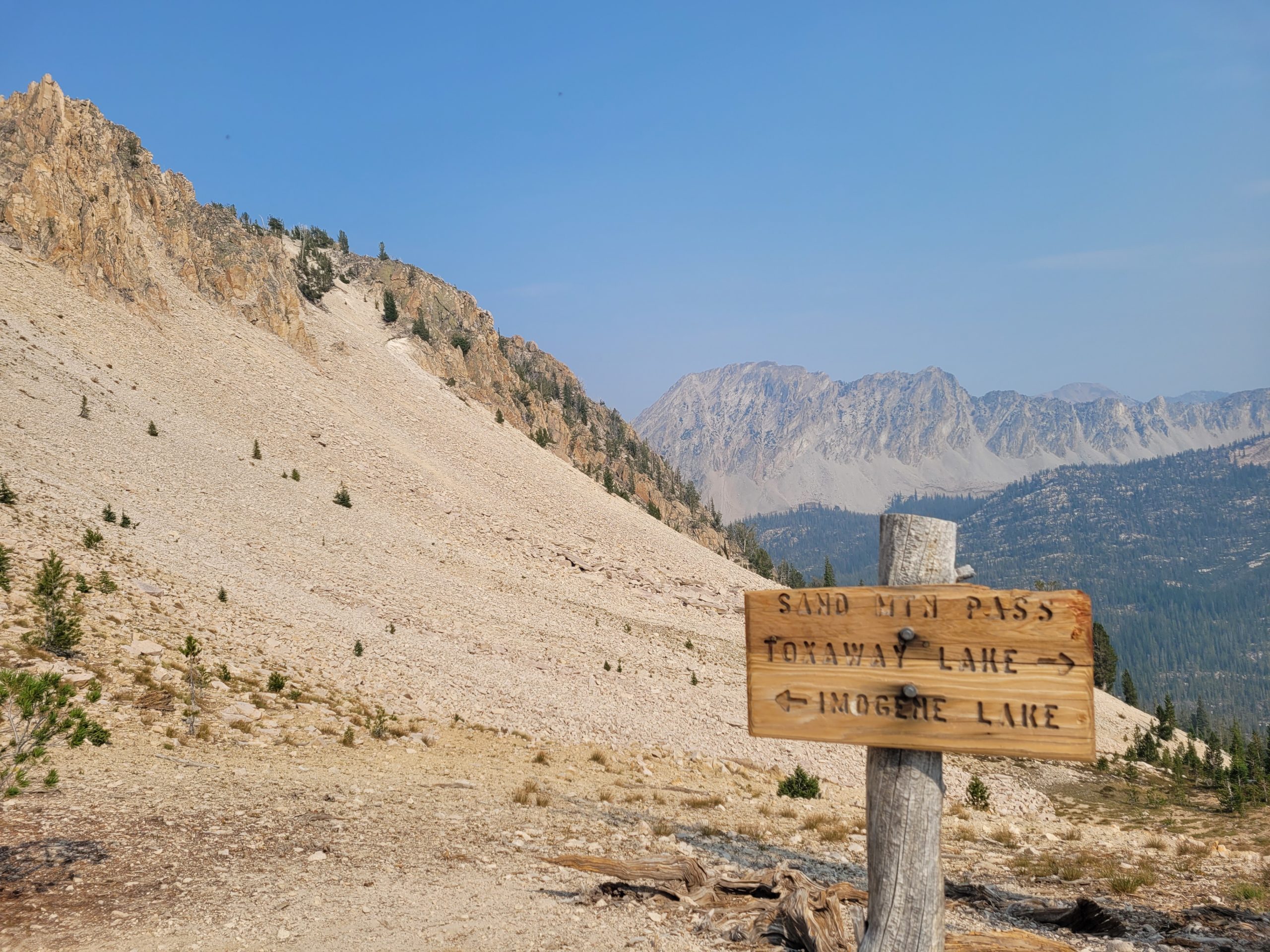
We passed Virginia and Edna Lakes before approaching a pair of passes over Sand Mountain. A good ‘ol “twofer”, as they say. Sand Mountain certainly lives up to its name, defined by dry, sandy stretches of steep grade. The switchbacks made the hike much more manageable and soon we were at the top of the pass. To the South we overlooked Toxaway Lake and further, out of sight, was the popular Alice Lake, where the Alice-Toxaway Loop routes. Looking north we saw our trail descend to a lull between the two passes before heading straight back up. At this point, we were starting to feel the aches, but the beautiful scenery helped us push forward and descend to Imogene Lake where we would be camping that night.
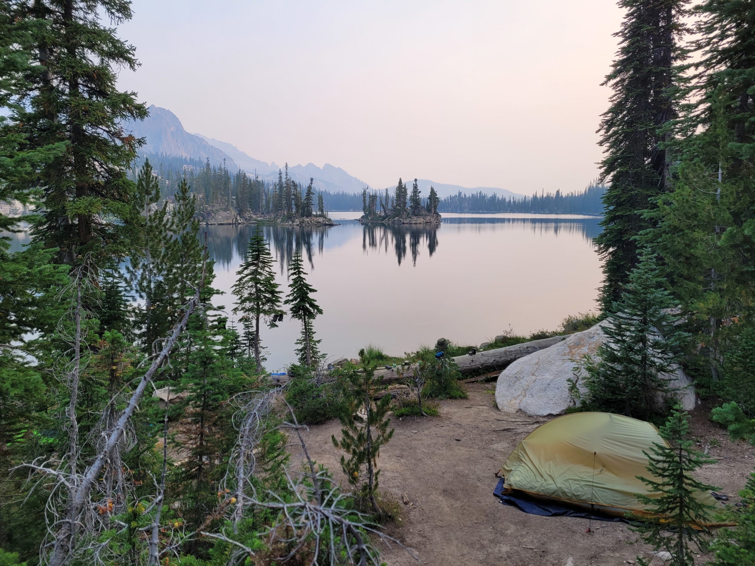
We hiked over 17 miles and about 4300’ of elevation gain over three passes. We knew this was our longest day of hiking, so we felt accomplished as we pitched our tents on a rocky inlet on the southern half of the lake. We could see other campers swimming off an island in the center of the lake. There were long, flat boulders on the hill heading towards the water from our tents. We laid out our sit pads and pillows and did some stargazing. Unfortunately, the half moon and residual haze dampened the night sky, but we still had a nice time relaxing and discussing how this might have been our favorite day of hiking ever.
Day 3
Imogene Lake to Fishhook Creek
Distance: 17 miles
Elevation Gain: 2,900′
The remainder of the hike around Imogene Lake was spectacular. We started at 8:00am and worked our way north past lily ponds towards Hell Roaring Lake. Here we found a fast-flowing stream and made sure to camel up, as several miles south of Redfish Lake were supposedly dry. The profile for the upcoming section was a brutal 1300’ of elevation gain in only a mile, not a switchback in sight. This was a rather demoralizing part of the trail. The haze had settled in strongly and there were minimal views of the landscape anyway, so most of the day was spent traversing PUDS under the cover of trees. We came across Decker Creek only a few miles later, it was good to know we carried an extra three pounds of water up those grueling hills just for fun.
We took lunch at the creek crossing; pepperoni rolls were the only thing that could improve morale. They worked surprisingly well. A few more uneventful miles followed, but we felt motivation to make it to Redfish Lake as quicky as possible to potentially catch a ferry across the lake that other hikers had told us about.
The descent to Redfish was steep and covered in a dense, lush canopy that resembled the Pacific Northwest. We made it to the dock where two other hikers sat waiting. They told us the ferry will arrive at 5:00pm and the cost was $14 per head. Conveniently, it was 4:15pm. We were told that the other side had a lodge with hot food, restrooms, and a general store. The alternative was another huge climb up the ridge around Redfish Lake, about 4 miles in length, and cold-soaked couscous for dinner… sort of a no-brainer.
The ferry arrived and the driver was more than happy to shuttle us across. We threw our packs aboard and enjoyed a ten-minute boat ride across the water, looking back at Grand Mogul from which we had recently passed. The boat pulled into a dock among dozens of others. There is a swimming area where young kids were splashing around. We happily paid for the ferry and made our way to a pavilion selling burgers, pulled pork, fish tacos, and French fries. Inside the lodge was a full bar serving local beer and cocktails. We decided to spend most of our evening at the lodge area. We went swimming, got drinks, and ate plenty of food before following the road to cutoff the trail around Fishhook Creek.
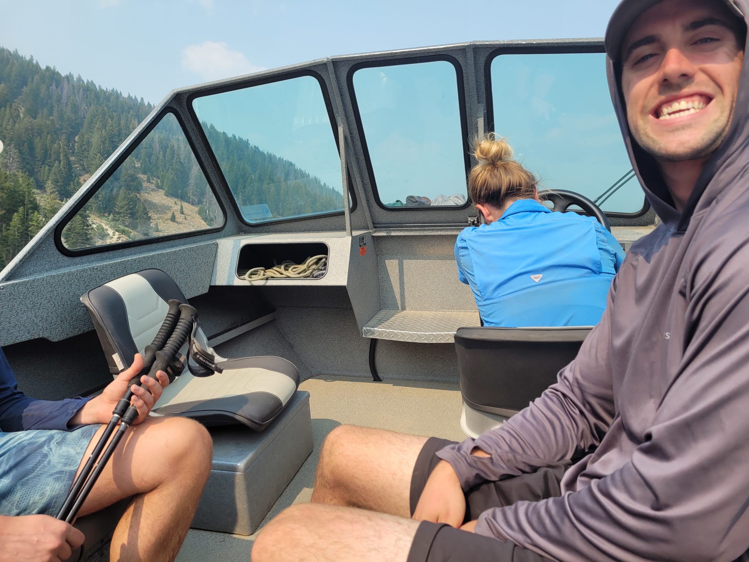
We opted for a quiet spot along the creek just off a side trail from our main route. We hiked roughly 13 miles on our third day, excluding the ferry, and despite the lesser mileage and only 3300’ of elevation gain, Tim and Dan argued it was the most difficult day.
Day 4
Fishhook Creek to Sawtooth Lake
Distance: 15.2 miles
Elevation Gain: 4,560′
We hit the trail at 8:15am, following a lazy trend of fifteen minutes slower each morning. We hiked north up a gentle ridge through an aspen grove. The sun was dark red in the sky, shrouded by the morning fog. The mountains were more distant than ever as the route traversed over hills through fields of sage brush.
As the day progressed, the haze began to clear up. We followed a gradual downhill to Goat Creek, where we took a brief rest. It was still before noon at this point and we had hiked about half of our day’s mileage. A benefit to taking the ferry the day before was that it granted us time to do a two mile out-and-back to Goat Lake. We left the creek and began the first leg of the climb to the intersection of the side trail. Amy, feeling tired from the first climb decided to stay back, while Tim, Dan, and I trudged ahead to the mythical Goat Lake.
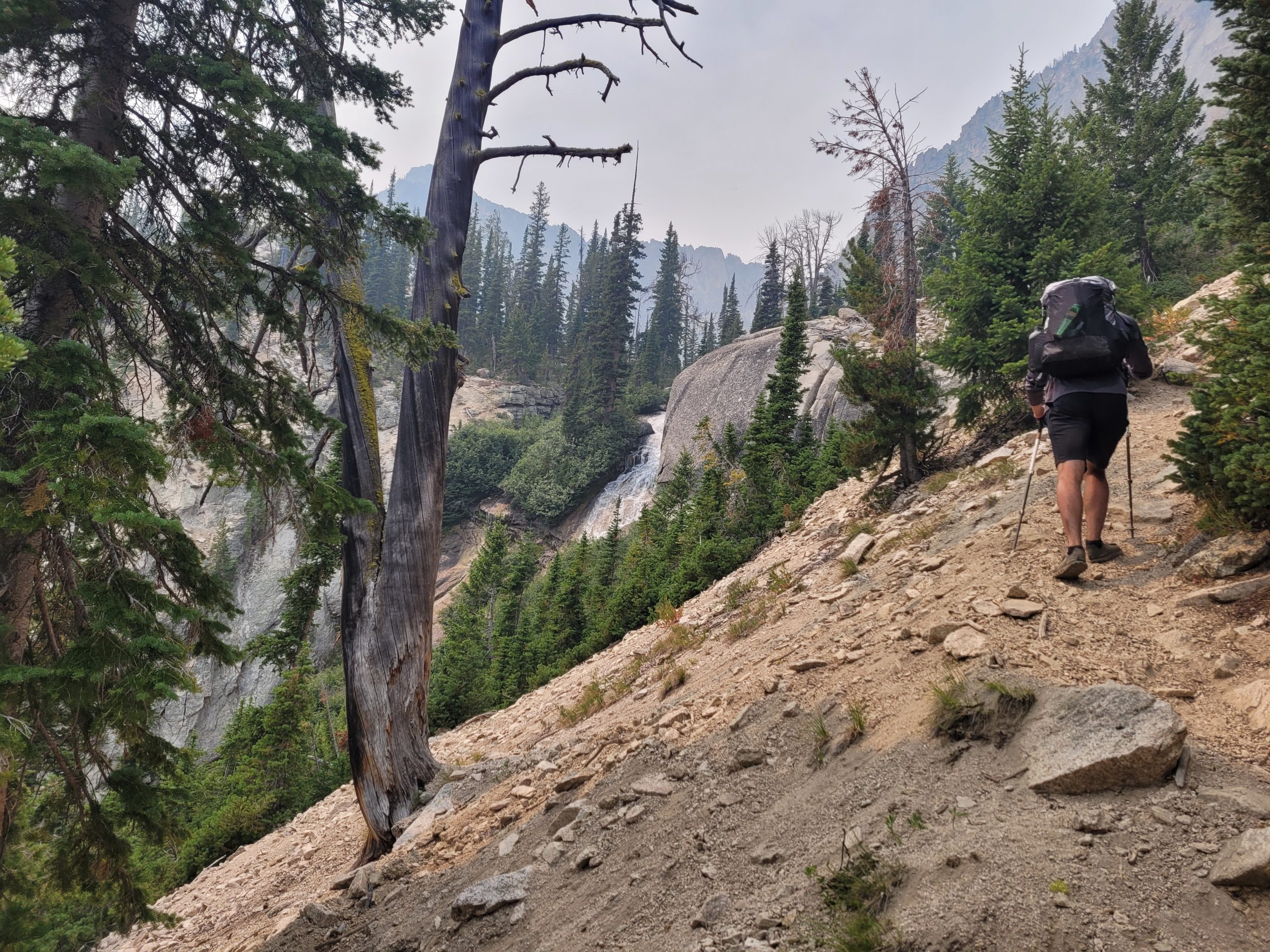
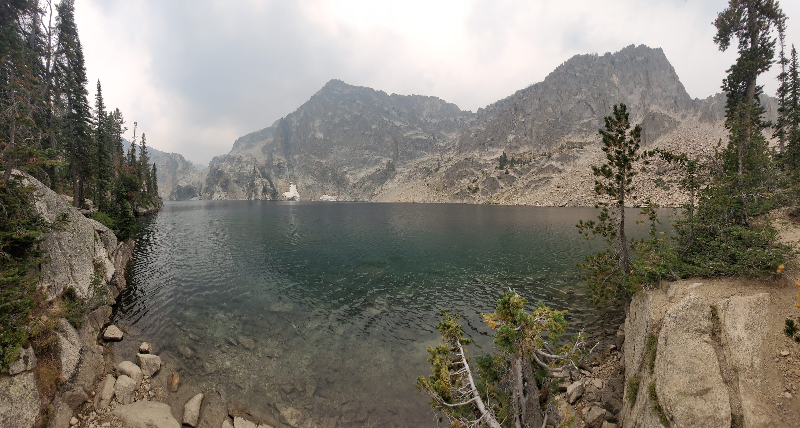
We passed an impossibly laid-back couple who described the lake as “spectacular” and thought the idea of us being from Pittsburgh was “righteous”. Shortly after, the gradual uphill transitioned to an incredibly steep scramble over loose gravel and tree roots. About midway, Goat Falls was visible to the left of the trail, a beautiful cascade of water falling over the rocks. Not long after, the trail forked to either a massive boulder field or a creek crossing. We hurdled a few of the rocks before doubling back towards the water, crossing it, and connecting to a more defined network of trails that lead towards the lake. The single mile took us at close to 45 minutes and we were caked in sweat by time we reach the top. Goat Lake was a wonderful sight, as the small, remote lake sat nestled at the base of the truly massive, Merritt Peak. There were even some residual patches of snow on the opposite side of the lake. We ate a quick lunch, fought off a swarm of bees, and began heading back downhill to meet up with Amy. To our surprise, she was hiking towards us just a short way from the top! We hung out a bit longer so Amy could enjoy the view and began the sketchy downclimb back to our trail.
The remainder of the day’s hike was equally amazing. We descended to a valley that ran parallel to Iron Creek, with jagged mountains to the south. A long, yet gradual climb took us up to Alpine Lake (a different one) and continued as we navigated tight switchbacks towards Sawtooth Lake, an all-around incredible section of the trail.
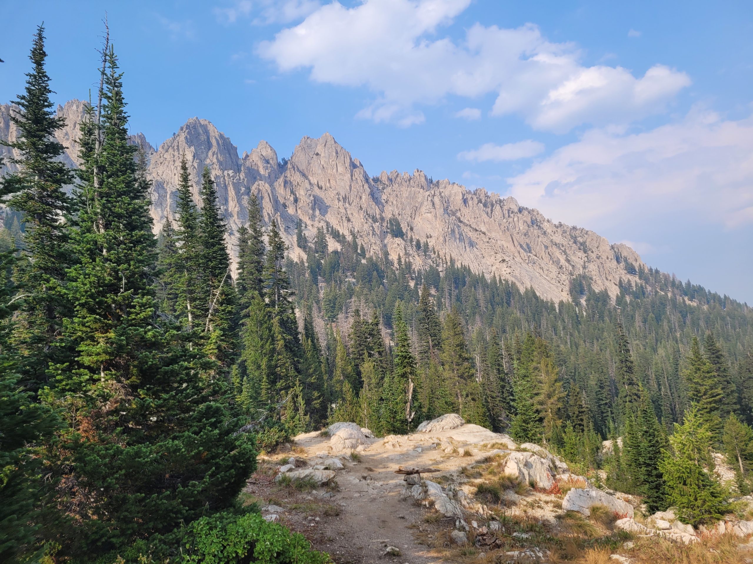
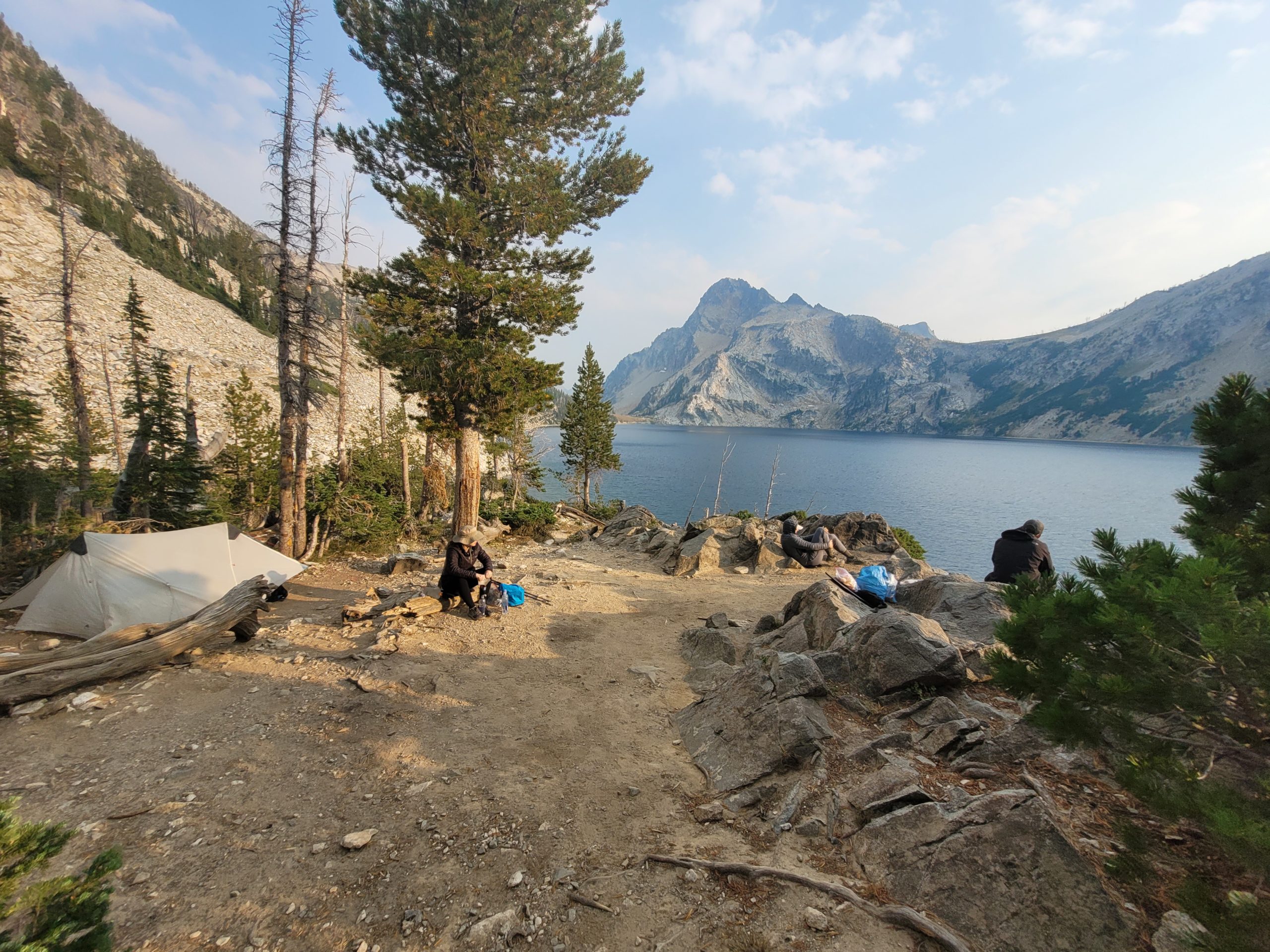
Day 4 was about 15 miles of hiking and nearly 5000’ of elevation gain when you factor in the climb to Goat Lake but was worth every step. We climbed a short ridge along the edge of the Sawtooth Lake and found some nice plots of flat ground to pitch our tents. Though this is supposedly one of the most popular spots in the area, there was nobody else camped alongside the water and we assumed the lake to ourselves in one of the best campsites I’ve ever stayed at. There was a steep downclimb to gain access to the water, where we bathed and skipped rocks as the sun set over the mountains to the west.
Day 5
Sawtooth Lake to Grandjean Trailhead
Distance: 8.5 miles
Elevation Gain: 530′
We rose early on our final day, eager to finish the hike in good time. It was freezing that morning at 7:30am and frost covered the brush along the trail. We hiked along the north side of Sawtooth Lake, climbing to a splendid overlook of the lake and a view of where we camped the night prior. After departing the lake, we entered a relatively fresh burn area that continued for a handful of miles. The lack of trees provided an unobstructed view of the mountainous landscape in all directions.
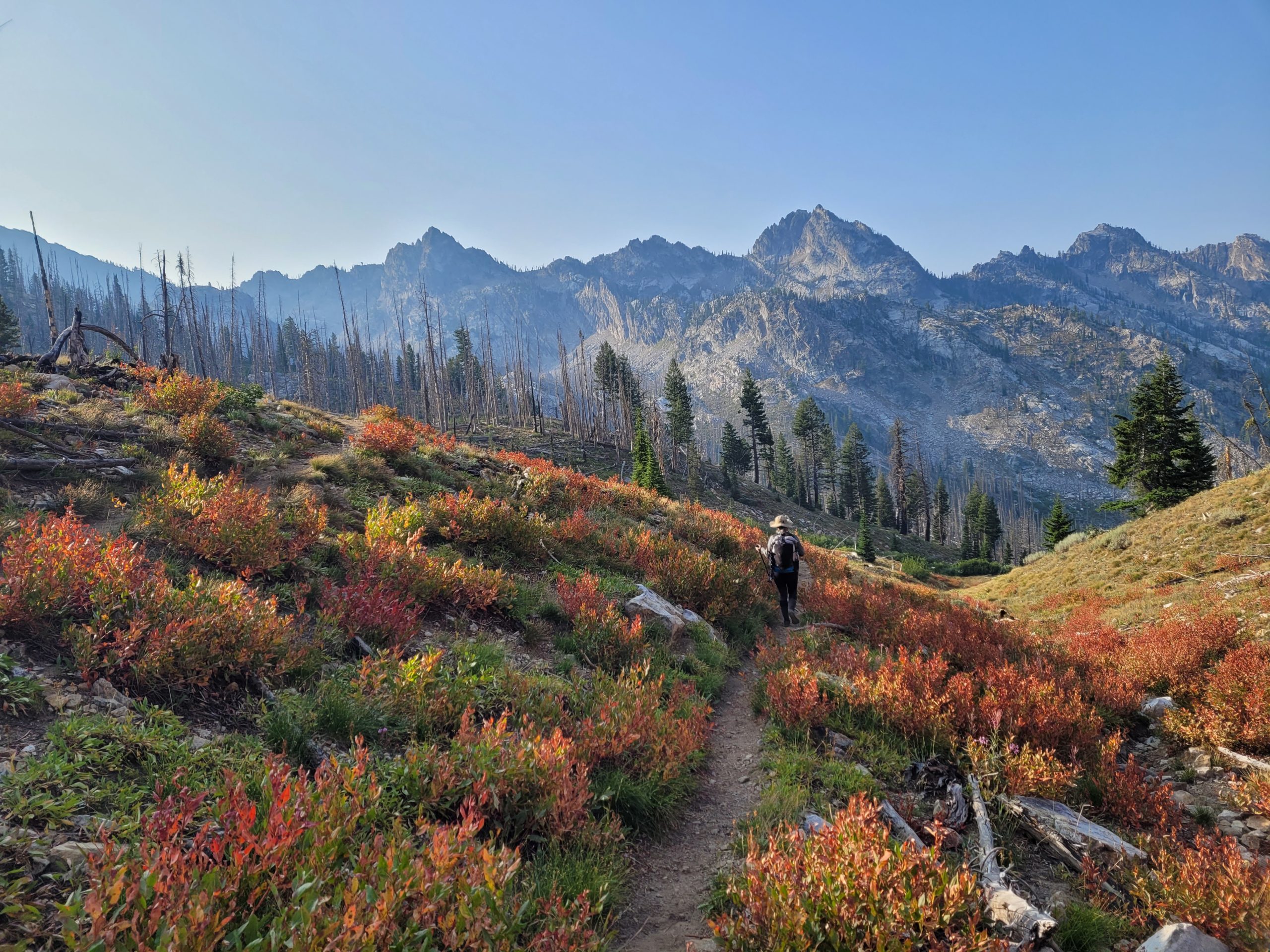
We hiked at our fastest pace of the trip, averaging 2.5mph down a relentless decline in elevation that made us unmistakably aware of the condition of our knees. We eventually noticed familiar scenery in the open valleys of grass and paintbrush. Without any major breaks, we completed over 9 miles in only 3.5 hours.
We arrived back at Grandjean Campground, loaded our gear back into the Kia, and began driving towards Stanley, where we all ate delicious, half-pound Kobe beef burgers at Sawtooth Luce’s. Then, continued driving toward Buhl where a yurt and geothermal hot spring awaited us to soak our tired bones.

