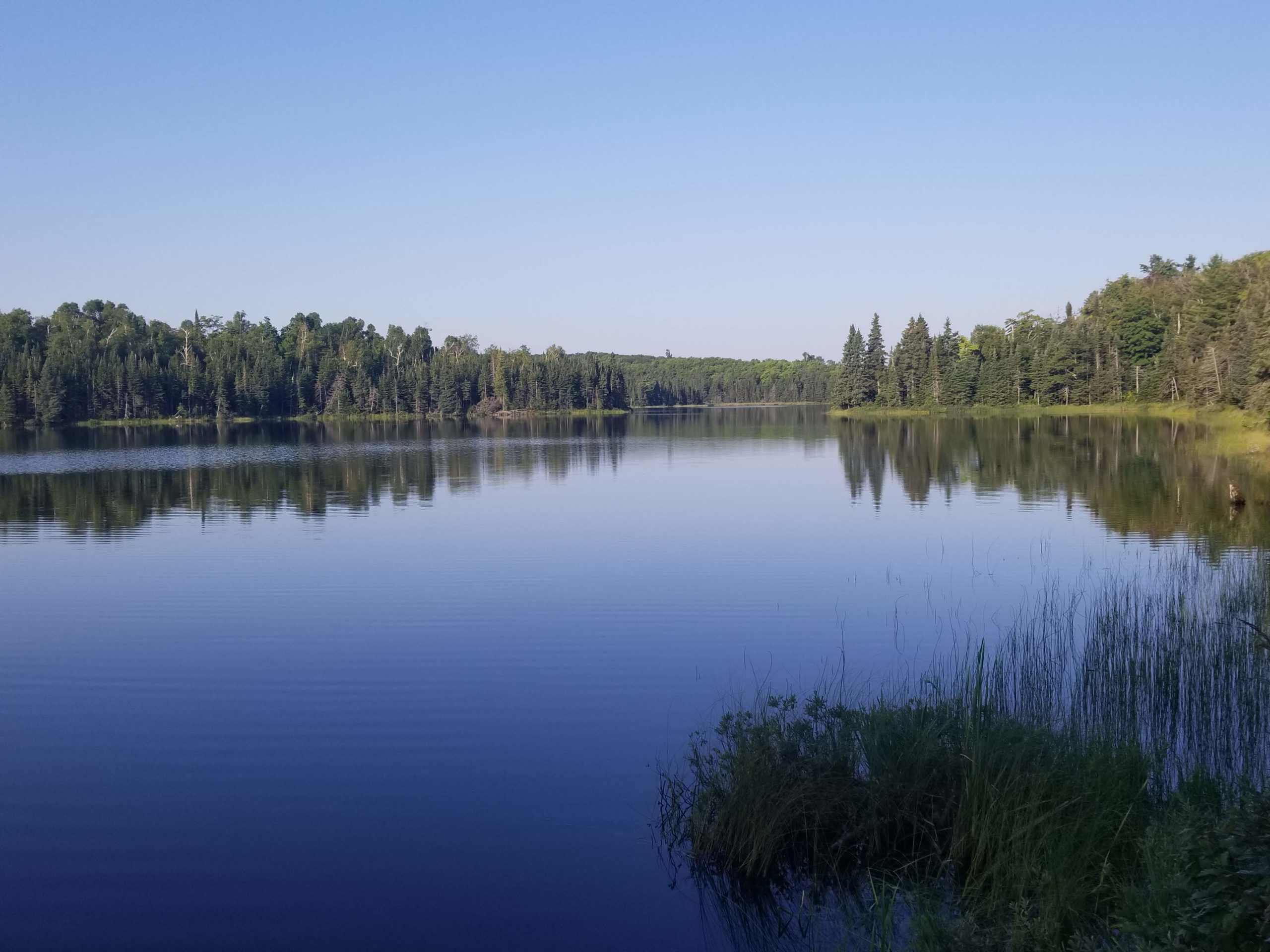
In the summer of 2018, my family took a vacation to Minnesota to visit my brother, Brennan, and sister-in-law, Becca, who lived in Rochester, MN. From there, we traveled upstate and rented a house along the coast of Lake Superior. I was blown away by the pristine beauty of this state as we toured the state parks and quaint towns along the way from Duluth to Grand Portage. I knew immediately that I wanted to bring Amy there, and it turns out that we had a golden opportunity only a year later. My nephew Benjamin was turning one in August of 2019 and we flew back to celebrate at a cute park near Rochester. After spending the weekend with family, Amy and I made our way north where we planned an epic itinerary along the Superior Hiking Trail.
Where: The Superior Hiking Trail from Silver Bay to Lutsen, along the coast of Lake Superior in upstate Minnesota
When: 8/11/2019 – 8/17/2019
Distance: 83 miles
Conditions: low 50s to low 80s, humid, no rain
Route: https://caltopo.com/m/FK9NQ
Photos: https://photos.app.goo.gl/9KMf29isETSaX6Ei6
Gear: https://lighterpack.com/r/pekrf1
Useful Pre-Trip Information
Overview
The Superior Hiking Trail (SHT) runs 310 miles along the west coast of Lake Superior in Minnesota. The trail navigates dense forests of birch, aspen, pine, fir, and cedar along rolling mountains and surprisingly brutal terrain. There is a surplus of lakes, waterfalls, and wildlife along the trail. The SHT is part of the much longer, North Country Trail (NCT) that traverses through eight states from North Dakota to Vermont, over 4,600 miles in length. The SHT starts in the city of Duluth and ends just before the U.S./Canada border. Generally speaking, the farther north you go, the more scenic the trail becomes. We chose to do a section starting near the middle, just outside of Silver Bay within Tettegouche State Park, and hike north past a small ski resort in Lutsen and finish at Lake Agnes. This struck a nice balance between hitting some of the highlights, such as Bean Lake and the Temperance River, while minimizing travel time and the complicated logistics of hiking this trail without a car.
Permits
No permits are needed to hike or camp at our specific campsites, however if you plan to camp in Temperance River State Park or George Crosby Manitou State Park you will need to reserve a campsite.
Water
There are regular streams and lakes along the route, finding water was never an issue for us but it should be filtered.
Transportation
Amy and I flew into Minneapolis, as mentioned, to visit my nephew. If you are planning to do this hike and need to travel by plane, Duluth has an airport and would be a more practical destination. From Minneapolis, we were able to catch a two hour Greyhound bus to take us Duluth early in the morning on Sunday, August 11. We arranged a shuttle to and from the trail via Harriet Quarles Transportation. She met us at the Greyhound station in Duluth, driving an ancient Ford econoline van. She arrived a bit behind schedule and we loaded up around 4:30 for another one hour haul to Silver Bay.
Harriet was an absolute riot. I can confidently say I’ve never met another person as animated or, quite frankly, absurd as she was and I probably never will. The inside of her van was littered with random junk and trinkets that gave us the undeniable impression she was a Woodstock attendee. A few hours into our journey she went over her “rules” that were also plastered to a wooden slab on the dashboard. By time she reached the final rule, “no vomitting”, she pulled out a hammer that was apparently sheathed on the side of the driver’s seat and began (jokingly?) banging it in the air. Our reaction was less of genuine concern and more fascination at this living spectacle of a woman, who spent her summers shuttling hikers along the SHT and winters “in Miami living with her former hockey player boyfriend”. At one point along the drive she instructed Amy to pull out a box from underneath the seat that was loaded with food for hikers who forgot to pack extra snacks. We helped ourselves to some muffins. 10/10 shuttle driver.
A major benefit to shuttling with Harriet was that we could leave extra gear with her, such as clean clothes and a duffel bag for when we completed our hike and were picked up in Lutsen. We explained our seven-day itinerary to her and she confidently told us that “we would never make it” and that she constantly deals with out-of-state hikers who underestimate the difficulty of this trail. She explained how much of the trail had cell service and we could contact her to change our pickup destination. If anything, this made us even more motivated and we set off with a single goal after being dropped off at the Silver Bay trailhead: prove Harriet Quarles wrong.
Day 1
County Road 5 SHT Trailhead to East Palisade Creek
Distance: 5 miles
Elevation Gain: 938′
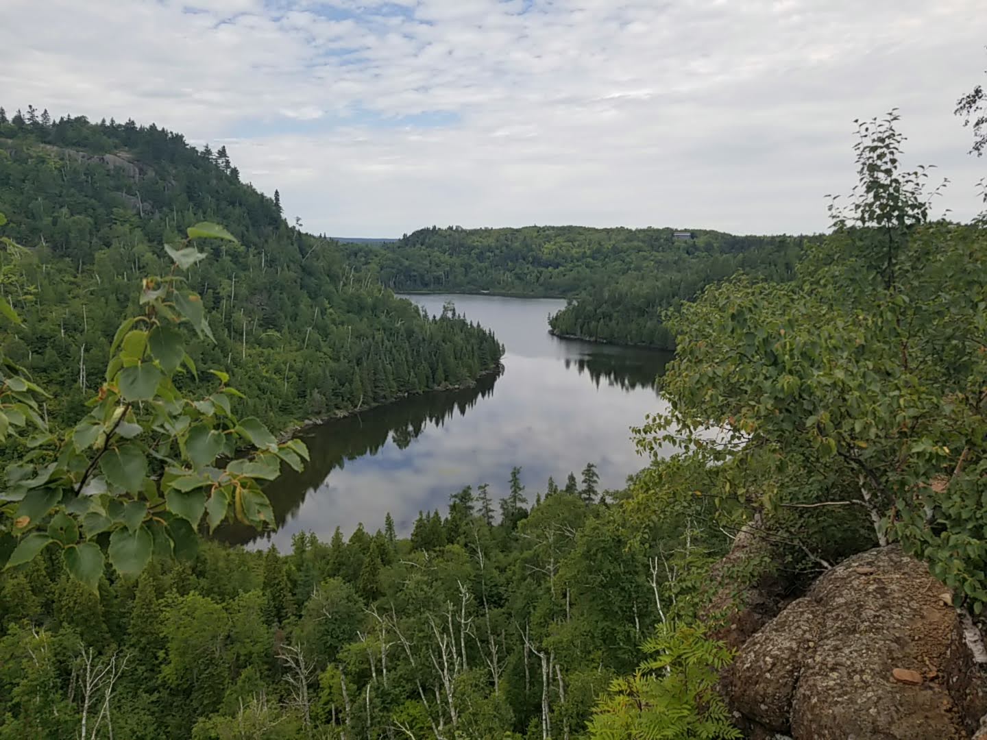
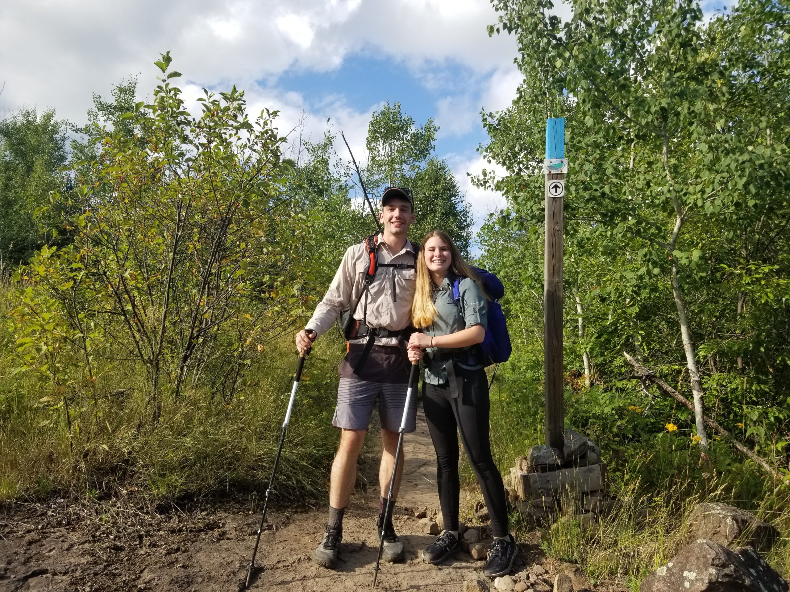
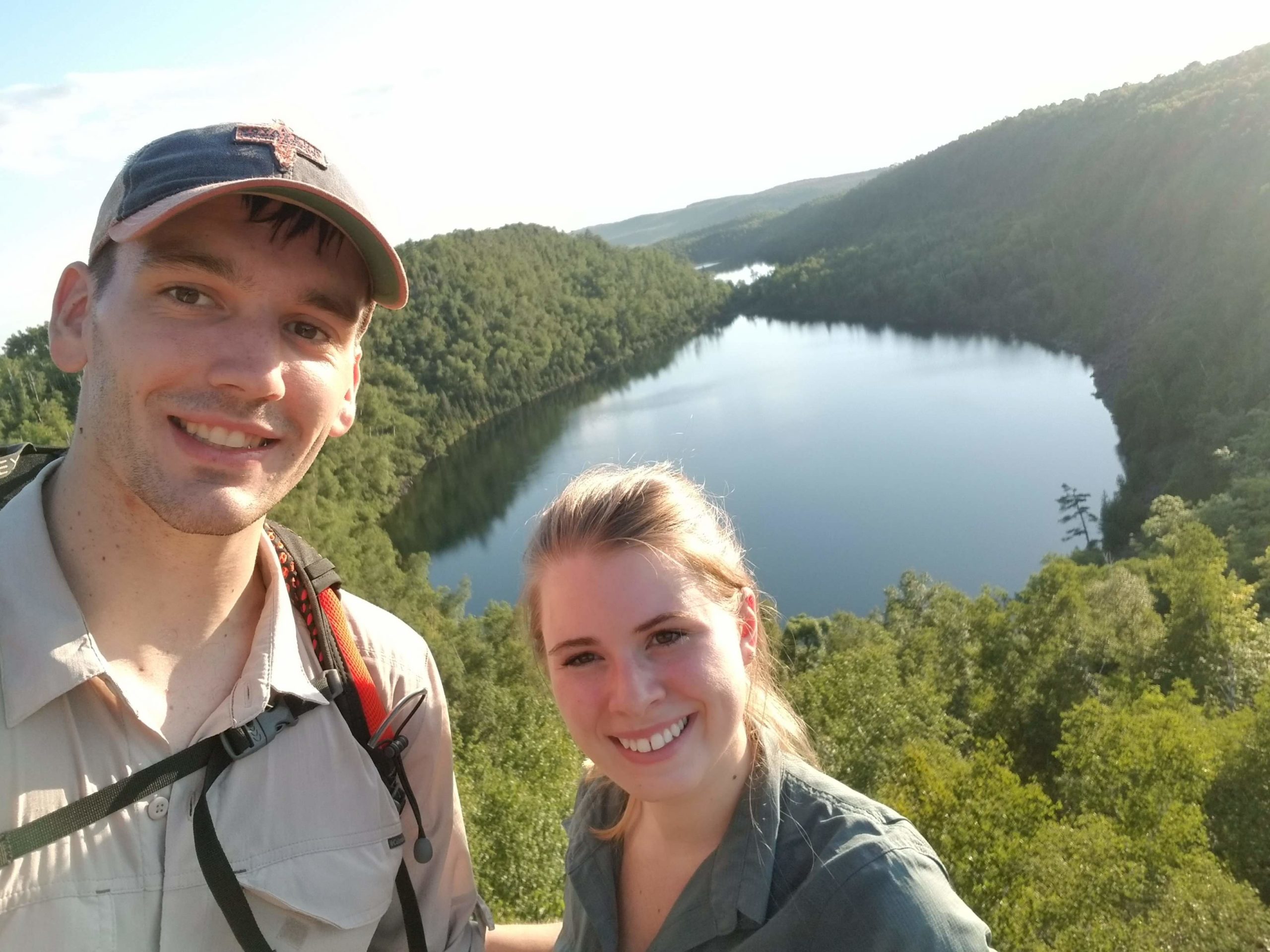
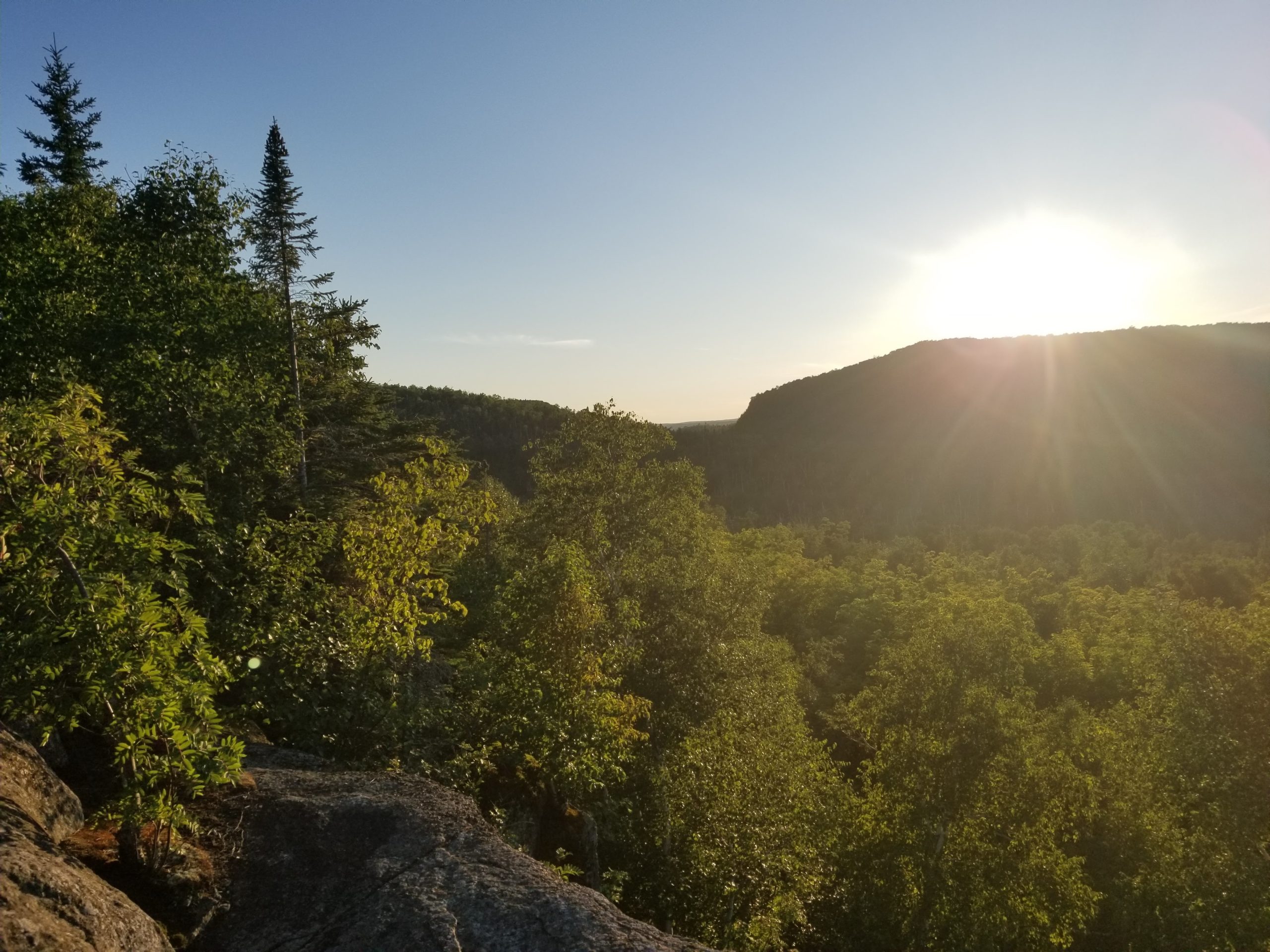
By the time we were standing at the trailhead it was already after 5:30pm. The sun was shining low in the sky and the temperature was warm but manageable. We set off northeast on a gradual incline through power lines and spruce trees. It wasn’t long before we came across a high cliff overlooking the spectacular Bean Lake. We were elated to start the hike with such an awesome view. The trail followed along the cliff side for a short while as we passed the lake and its neighbor, Bear Lake.
Two older men passed us going the opposite direction and we stopped to chat. One introduced himself as Legend and claimed to have hiked the PCT several times, including as a paid guide. They were tackling sections of the SHT by leap-frogging two vehicles. Park one car south, drive north, hike south to car, drive back north to retrieve first car, and repeat. The other man, who we unfortunately cannot recall his name, told us they wanted to camp at Bear Lake that night but it was full and they attempted to barter with a single hiker at one of the campsites and “sleep under his picnic table”. Turns out they weren’t carrying a tent, either. We bid them good luck in their search and continued on for another two miles, passing Round Mountain, and arrived at our campsite on Palisade Creek as the sun was setting.
We set up camp and it was time to try out my new bear bag hanging kit. In the few remaining minutes of dim light, I found a tree that looked suitable and tossed the rope over a large, outcropping branch, only for it to get caught around a sturdy nub sticking out of an adjacent tree. Thirty minutes of frustration followed as we desperately tried to free the rope to no avail. It was out first night in an area with a healthy black bear population, and we lost our only substantial rope. The only alternative was a spare line for hanging clothes inside our tent that was maybe four feet in length. We had to rely on sketchy critter hangs for the rest of the week, but I figured we wouldn’t come across any bears…
Day 2
East Palisade Creek to Section 13
Distance: 14 miles
Elevation Gain: 3,015′
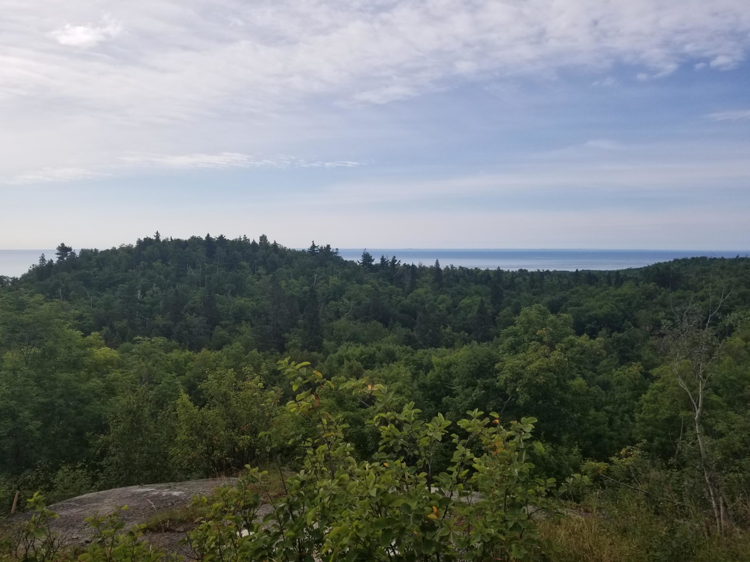
We had an ambitious day 2 on our plates. We continued our trek through Tettegouche with a brisk, 500′ climb to Mt. Trudee, which provided a lovely view of Lake Superior behind rolling hills of pine. From there we descended into a sugar maple forest for several miles. This trail follows a distinct pattern of unexpected glimpses of the mighty Lake Superior, followed by ecologically diverse sections of dense forest. It is exceptionally unique and never seemed to grow old.
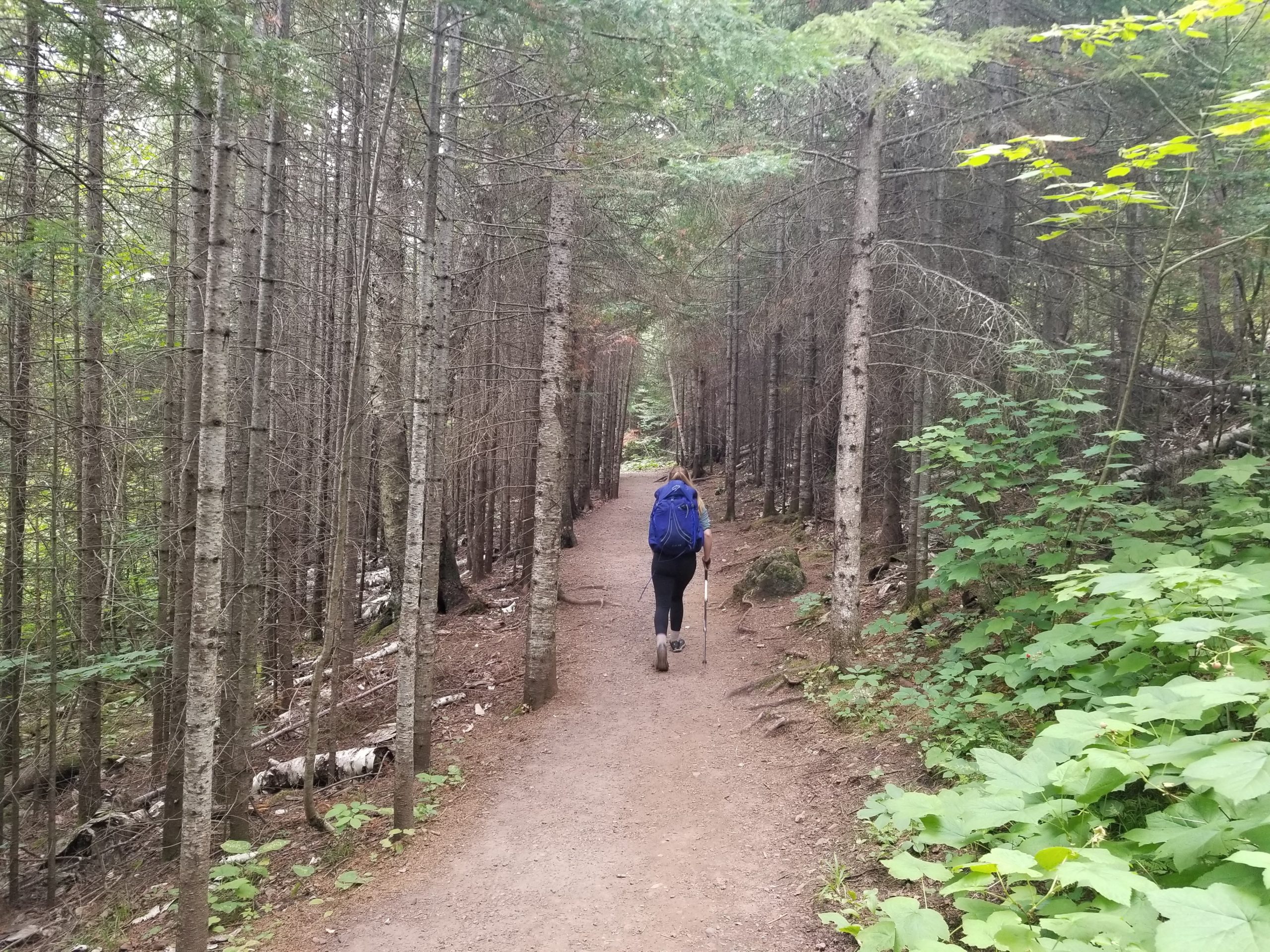
Amy and I had only had one pair of trekking poles for this hike, so we decided to each carry one. While descending Mt. Trudee, I lost my footing and came down hard on my left knee. I immediately knew something was not right. The pain was not serious, but certainly not what you want to happen at the start of a week long backpacking trip. I learned my lesson than two poles are better than one. Nothing I could do but keep going.
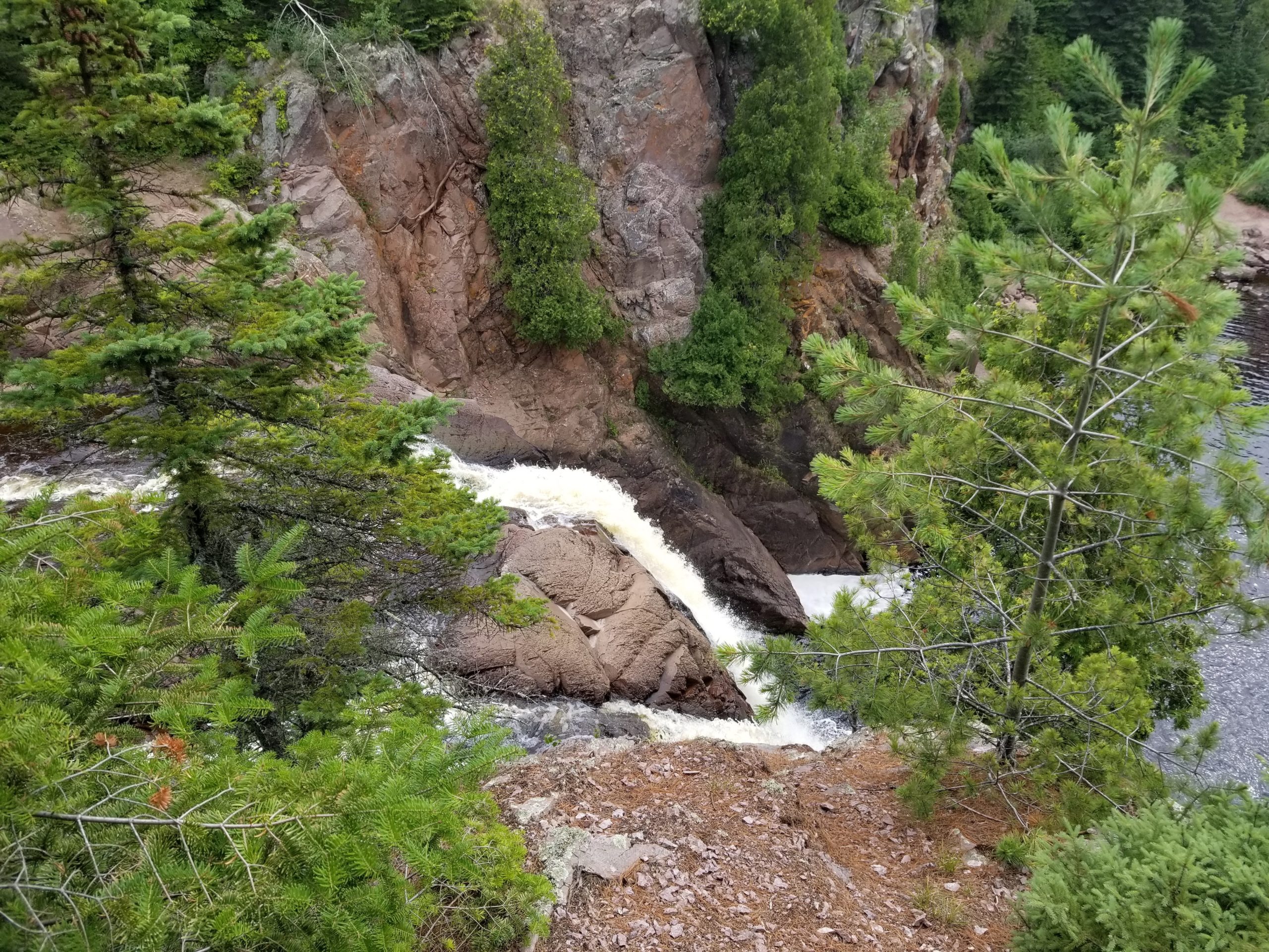
We reached Baptism River and High Falls spilling into a rocky riverbed below. After filling up our bottles here, we noticed the water had a strong reddish tint we assumed to be from high traces of iron. Filtering did little to help the appearance but fortunately it tasted great. We crossed a large, cable suspension bridge over the river and pressed ahead. Over the next few miles, we passed a beautiful aspen grove and more spectacular overlooks of Lake Superior, as well as Johnson Lake. The elevation gain continued, wearing down on my injured knee and I began to worry that it would worsen to the point where we would have to bail.
The last highlight of the day was Sawmill Dome, overlooking a number of mountains in the distance. We hiked about three more miles through increasingly rocky terrain and made camp at Section 13. This spot is popular among rock climbers who use it as an outpost for bouldering in the nearby vicinity. We weren’t feeling up to climbing, but you know what we were feeling up to? Buffalo mac and cheese. We found nice cliff to sit over and eat our dinner and went to bed early to allow our bodies some much needed recovery. Amy left some trail mix in her backpack overnight and mice chewed through the side pocket and ate all of it except for the raisins.
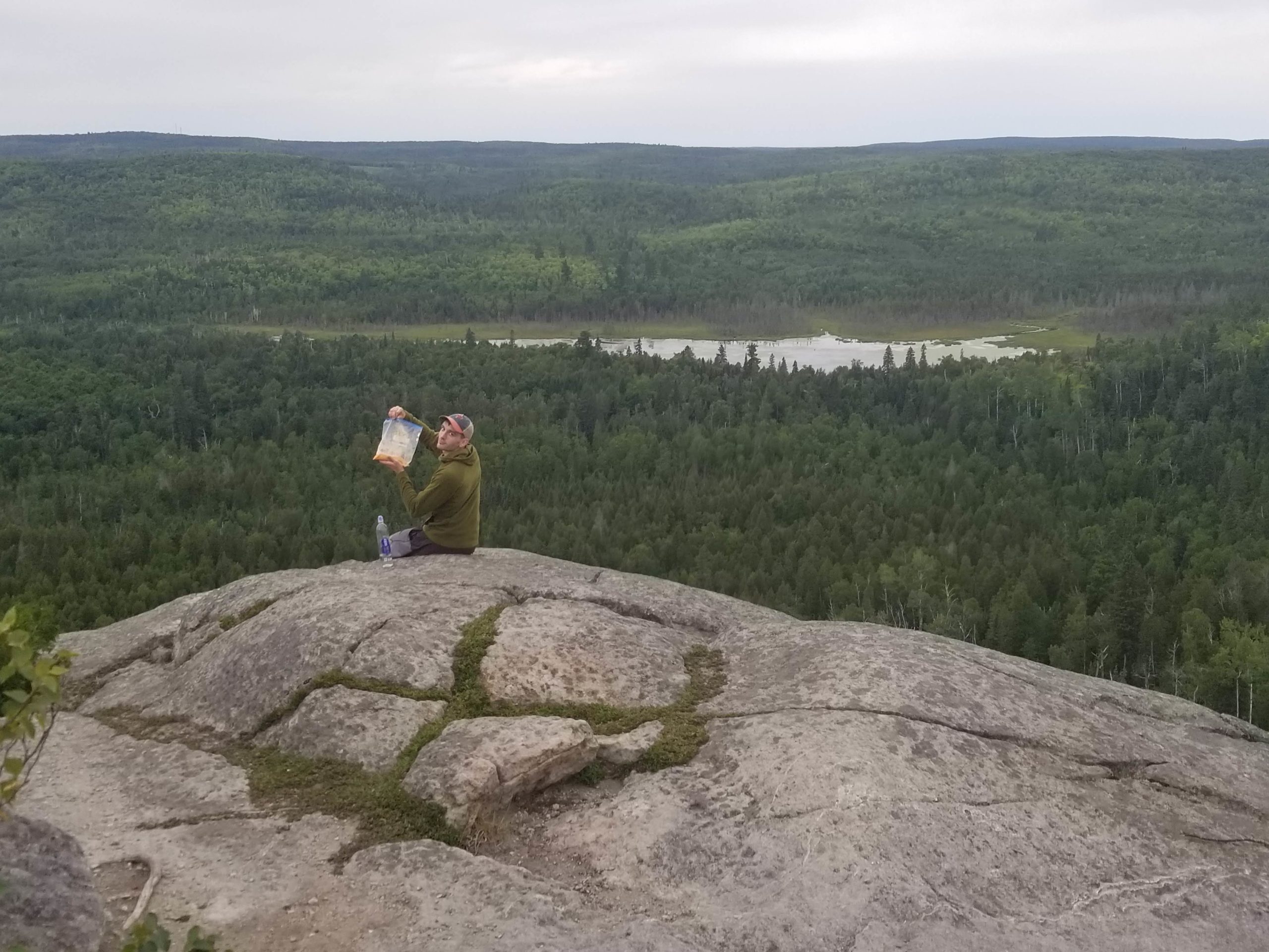
Day 3
Section 13 to Blesener Creek
Distance: 14.5 miles
Elevation Gain: 1,657′
Leaving Section 13, the trail heads west away from Lake Superior into a deciduous forest with long board walks, ponds that resembled wetlands, and mud, lots of mud. This continued for several miles before the trail eventually turned north and we climbed onto a ridge that leveled out for the remainder of the day. Around this point, mosquitos began to become and issue. Since it was August, we missed the worst season for Minnesota’s state bird, but the pesky bloodsuckers were still found in large numbers buzzing about the smaller, inland lakes. Amy, despite wearing long pants, was being eaten alive. Our bug nets over our heads gave us some protection but I personally found them difficult to hike in for extended periods in the humid conditions that regularly reached into the 80s.
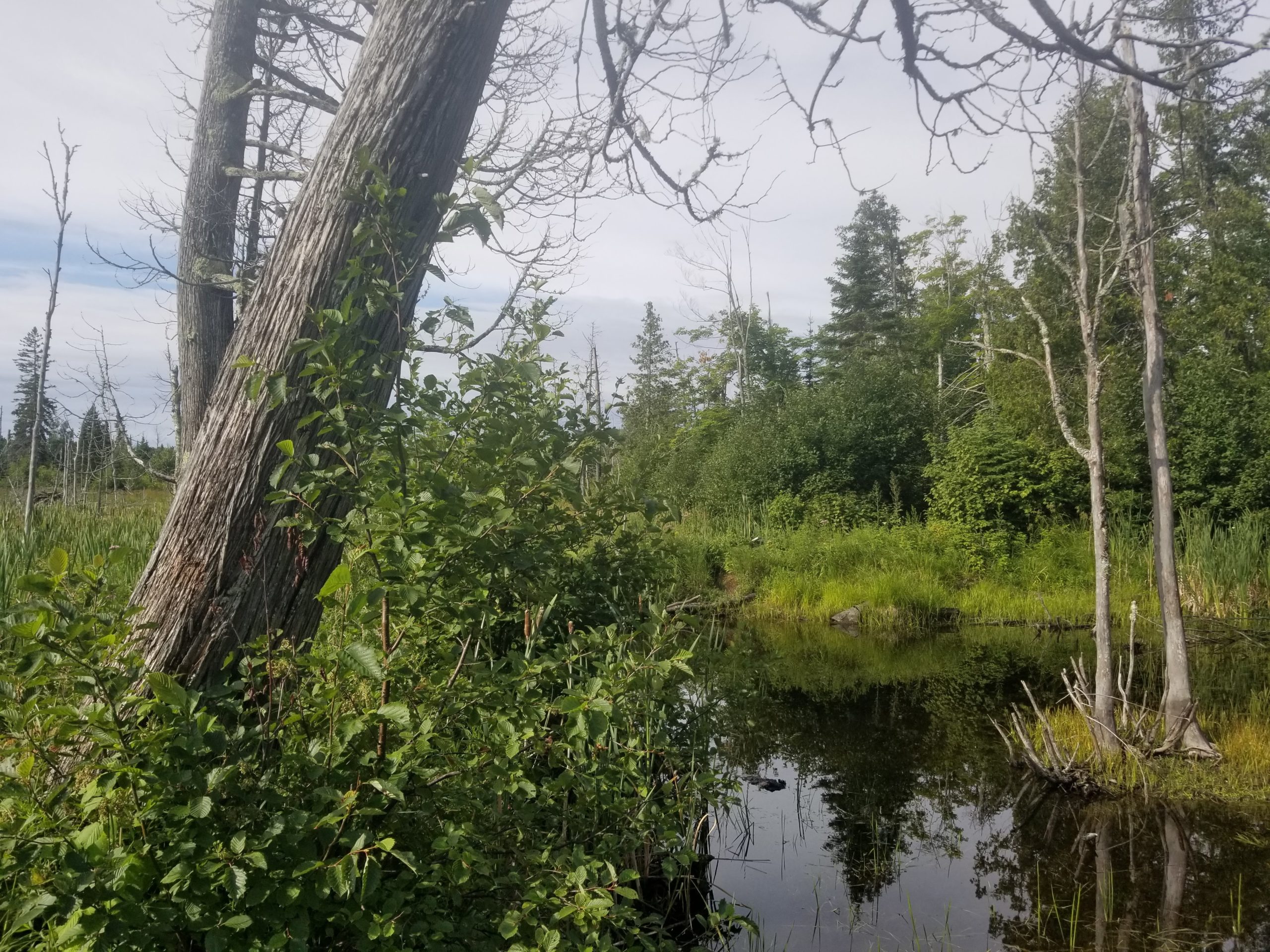
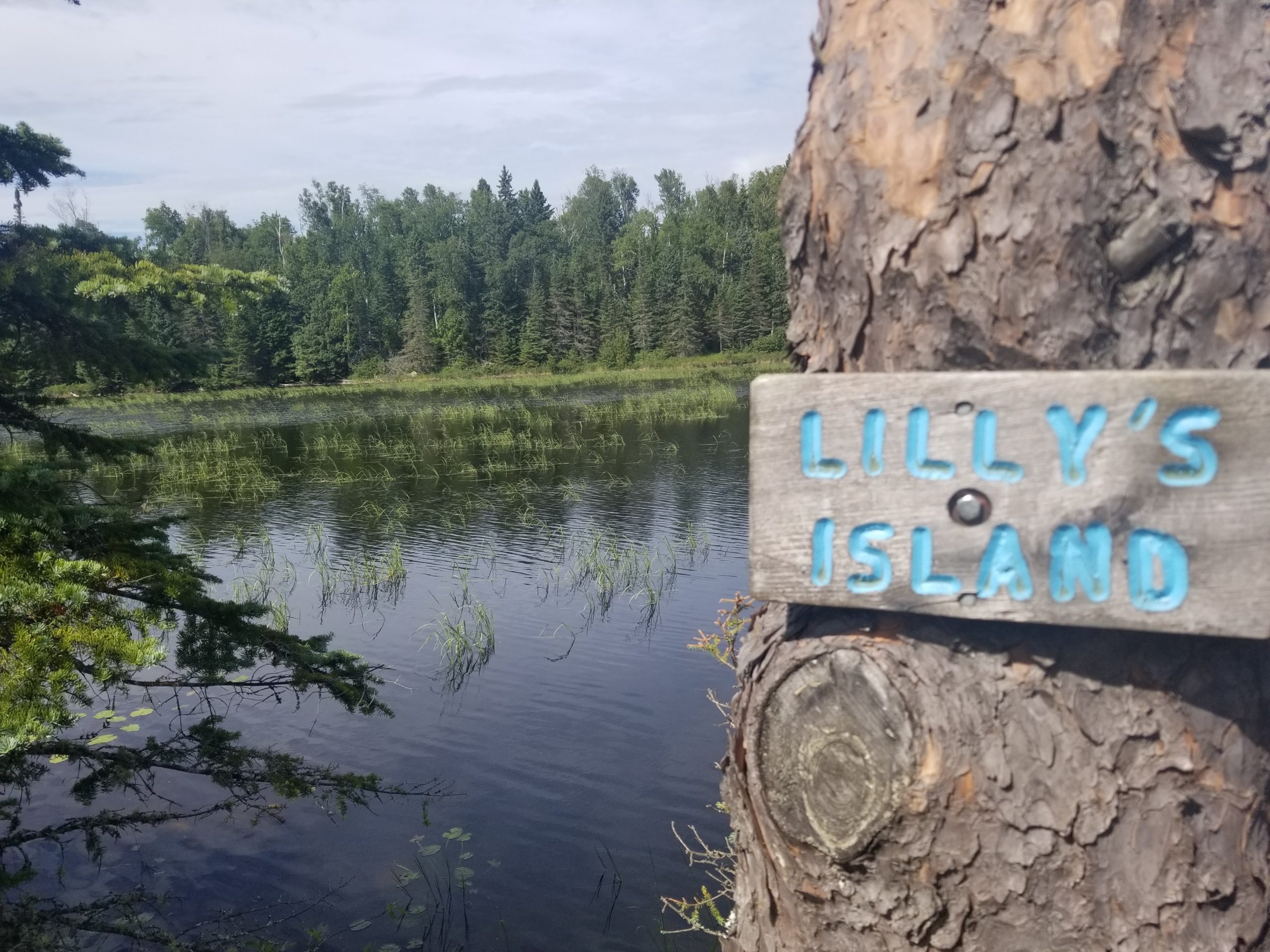
In a three mile span, we passed Egge Lake followed by Sonju Lake. Sonju Lake had a boardwalk connect to a tiny island off the shore called Lilly’s Island that gave impressive views of the water in all directions. Though we didn’t see any, this was a prime moose-viewing location. After the lake, the trail turned back east towards Lake Superior and ran parallel to the East Branch Baptism River. We had our pickings of several secluded campsites and chose to end our day at quiet plot near Blesener Creek.
Day 4
Blesener Creek to Crystal Creek
Distance: 11.2 miles
Elevation Gain: 1,542′
One of our most brilliant moves for this hike was each of us packing a single Little Debby coffeecake as part of our breakfast. Compared to the dry clif bars and tuna tortillas we ate for other meals, it was a total luxury that made us look forward to every bite and gave us motivation for the day’s hike. I really needed mine that morning, as my knee was still bothering me to the point where I asked Amy to use both of the trekking poles. Heading east from Blesener Creek, we passed Aspen Knob and entered the George Crosby Manitou State Park.
We stopped to go to the bathroom at one point and came to a startling realization: we were nearly out of toilet paper. Considering we were still behind the halfway point, this was concerning. About four miles into the day, we came upon a steep climb after crossing the Manitou River. About half way up, we passed a familiar face. Legend and his friend were hiking down at the same time. We said hello and awkwardly asked them if they had any toilet paper to spare. Sure enough, they hooked us up! We sat down on the hill to talk for a while and we traded trail mix for some gummy worms. We hoped to run into them a final time as we continued north.
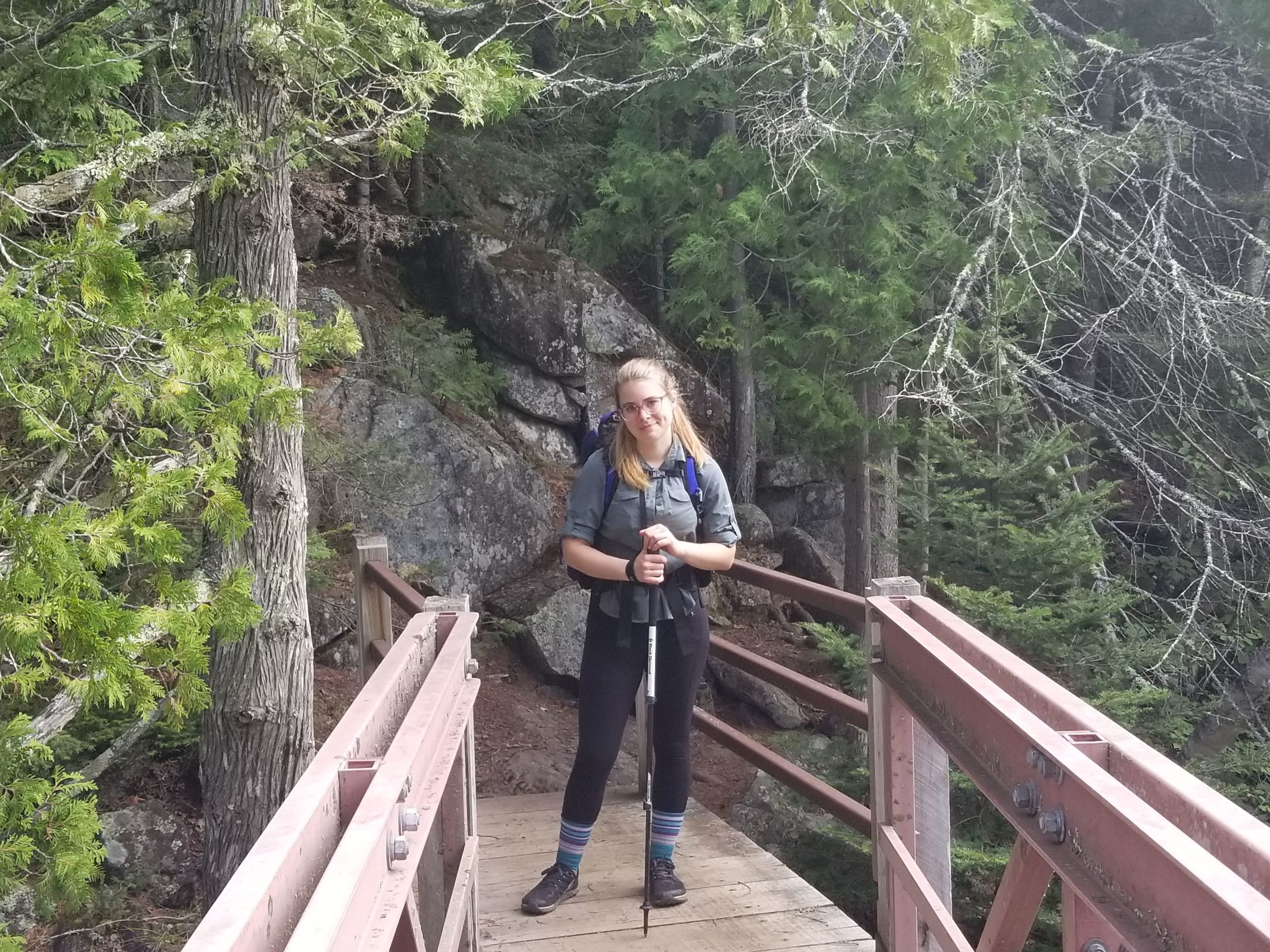
We came upon Horseshoe High Point, which provided another splendid overlook of Lake Superior and then worked our way through mixed forests as we descended to Caribou River. Despite today being one of our easiest yet, in terms of both length and elevation gain, we were exhausted and I found it difficult to hike proficiently. We decided to press ahead another mile and ended up setting camp early at Crystal Creek, about three miles short of our proposed site at Sugar Loaf Pond.
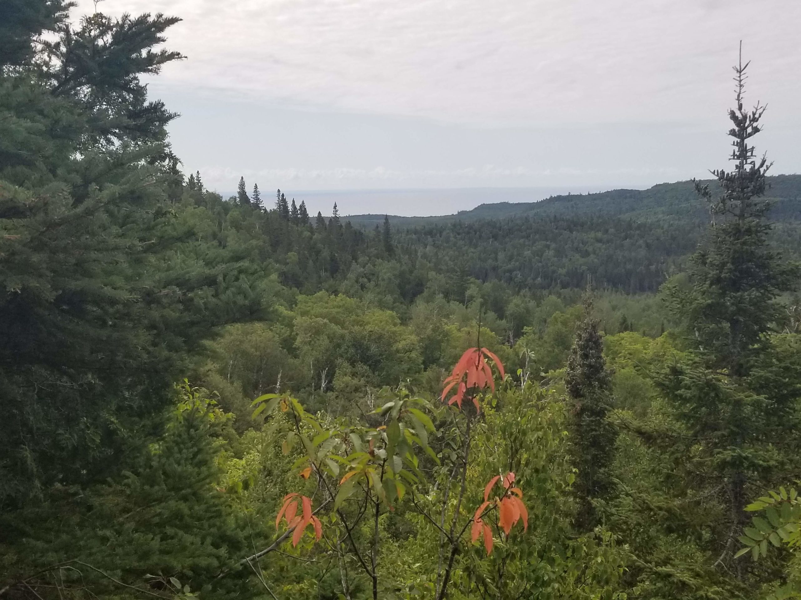
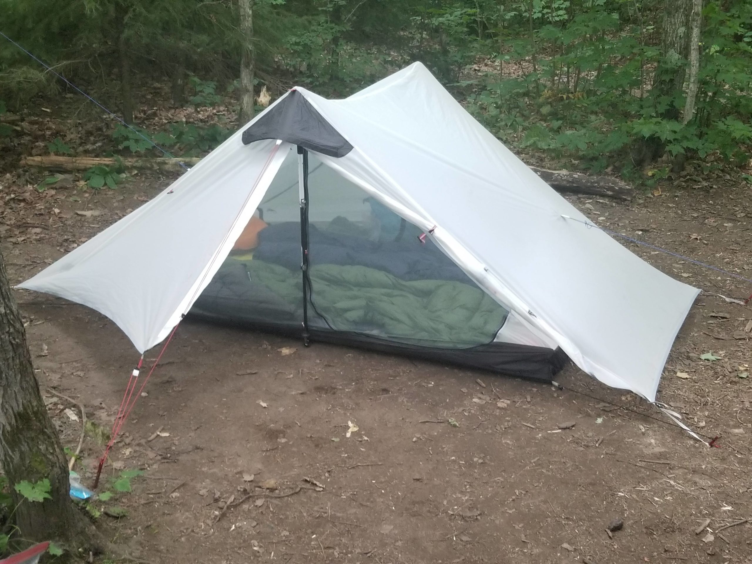
A scout troop hiked passed our campsite after we sent everything up and one of the little girls said, “Look at that dirty tent!” as she pointed at ours. Offended as I was, I had to admit she was right, it needed a good clean after this muddy adventure. We shared Crystal Creek with another couple around our age whom we desperately tried to make acquaintance with. They built a campfire and we spent our evening making shallow small talk around the flames that never really went anywhere. Maybe they knew we were the hikers who forgot to pack enough toilet paper?
Day 5
Crystal Creek to Springdale Creek
Distance: 21 miles
Elevation Gain: 2,800′
After reviewing the map in the morning, we knew that only hiking eleven miles the previous day put us in a position where reaching our intended finishing point past Lutsen was looking highly improbable. Our original itinerary was merely a rough estimate and we had always planned to prioritize enjoying the hike rather than reaching some arbitrary ending location, but at that point it seemed like Harriet was right; this trail was difficult, muddy, rocky, steep, loaded with mosquitos, and progress was slow. We texted her that we were going to plan on reaching the Rt. 336 parking lot next to Oberg Mountain by Saturday morning, roughly thirteen miles before Lake Agnes outside of Lutsen.
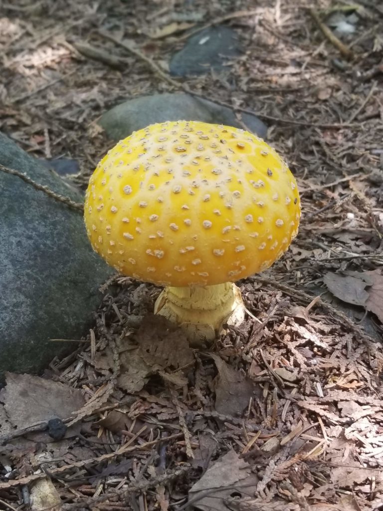
Relieving any stress, we breezed through nearly ten miles by early afternoon. This section included relatively flat terrain, a number of beautiful lakes, some more wetlands, and a sudden increase in mushrooms popping up all over the sides of the trail. The trail collided with Cross River and ran parallel along the water for a short while. By 1:00pm, we had hiked twelve miles and reached the South River Cross Campsite where we had intended to stop. We set down our packs and decided to take a quick jump in the river, since the day was quickly heating up. We washed our clothes and found ourselves in the midst of a serotonin overdose from the bright sunshine combined with refreshing water of Cross River rushing past our feet. We decided right then and there that we wanted to keep going. We had the whole day ahead of us, lost in the mystical backcountry, and felt like we could take on the world. The nearest campsite was a staggering ten miles further and included the steepest climb of the entire section. We hung our soaking shirts off our packs and trudged ahead shirtless for what was certain to be a brutal, yet exciting afternoon.
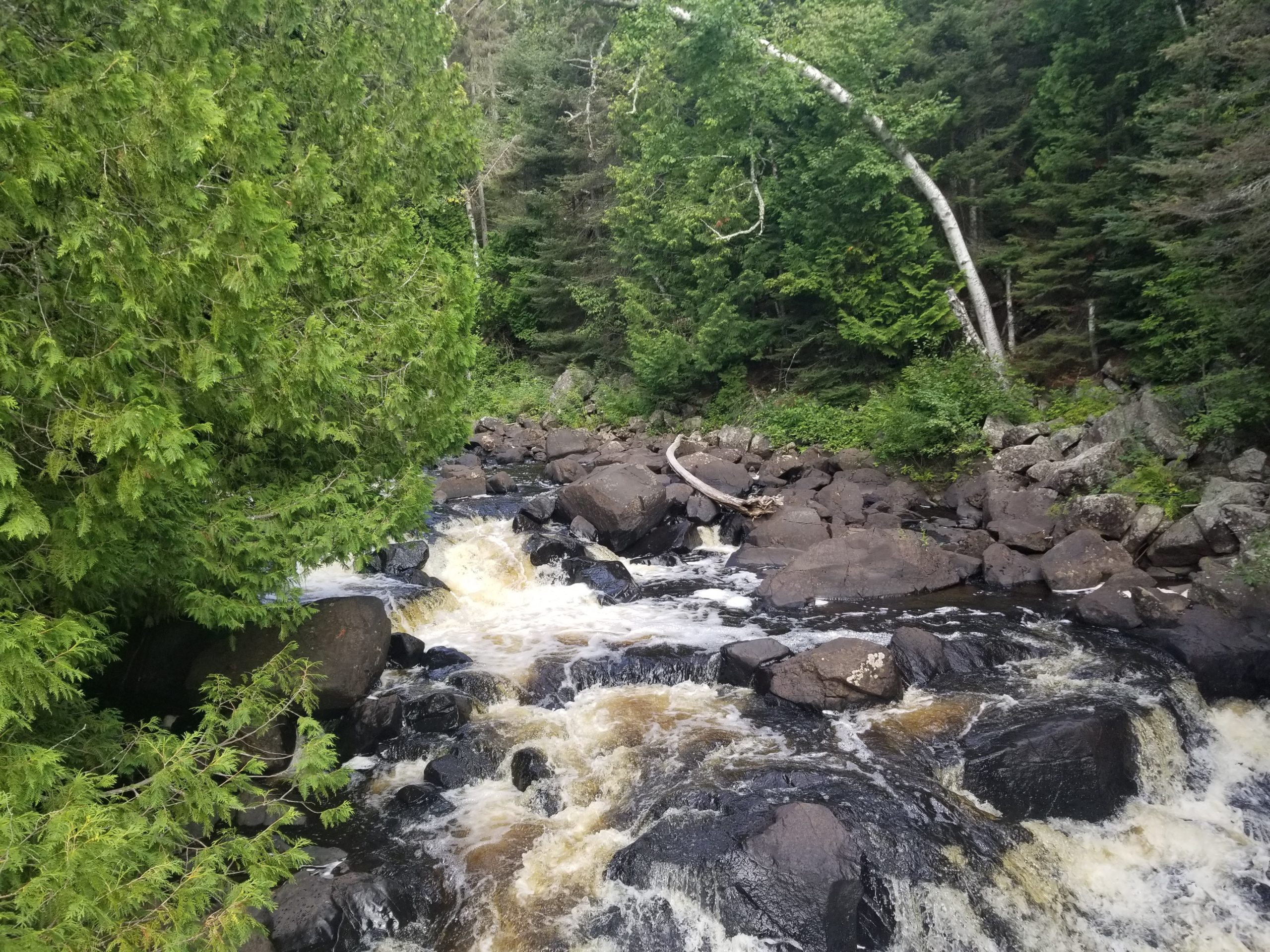
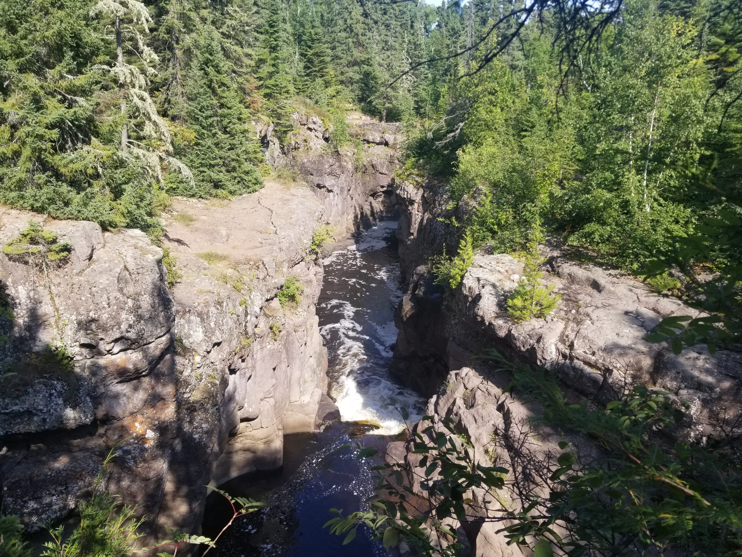
Within two miles we were along the Temperance River, one of the most beautiful rivers in the entire country in my opinion. The waters roar deep into basaltic canyons, with waterfalls abounding along the paved walkways of Temperance River State Park. The trail followed the flow of the river towards its outlet into Lake Superior, before crossing a bridge, heading upstream, and eventually turning off north. We climbed on a shared ski trail through an aspen forest, with occasional overlooks of the lake and the Temperance River Valley below. Carlton Peak appeared to be the most daunting climb of the hike, though was surprisingly accessible and provided astounding views of Lake Superior at the top. We took a short break on a slanted rock overlooking the lake shore. We had hiked about eighteen miles so far and our feet (and my knee) were barking orders for us to quit. Of course, that wasn’t an option as we needed to find the next campsite.
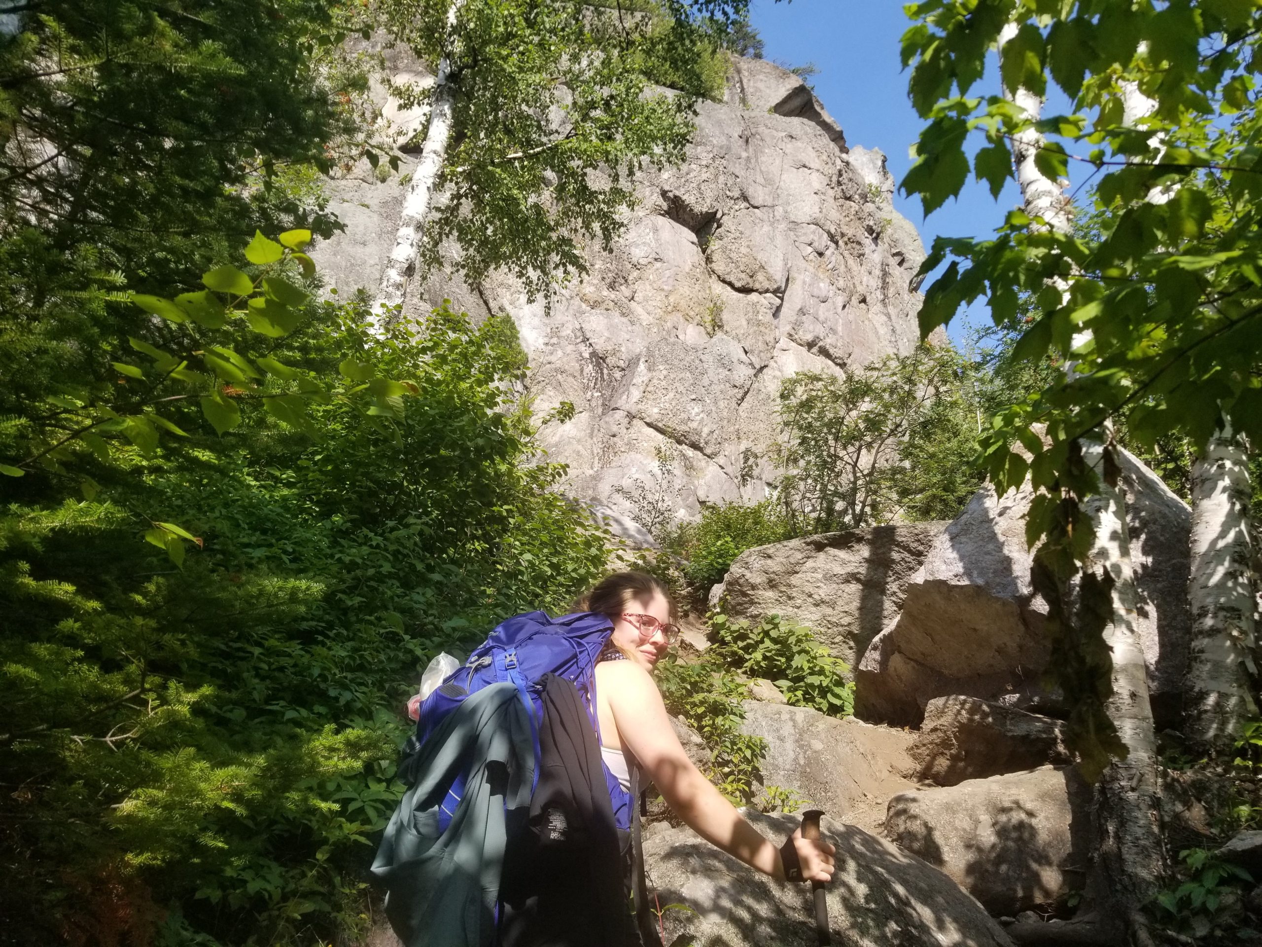
To no one’s surprise, the next three miles descending from Carlton Peak through a relentless birch forest to Springdale Creek were nothing short of brutalizing. By the time we limped into camp around 7:00pm, my body was aching worse than I had ever experienced while hiking and literally felt close to exhaustion. The remedy of “just hike through it” for joint injuries seemed to have a finite limit of exactly twenty-one miles. We begrudgingly completed our camp chores and collapsed in our tents. Through the discomfort we reveled in the fact that we had hiked so far in a single day, a personal record for both of us. Against all odds, we were now ahead of schedule.
Day 6
Springdale Creek to East Poplar River
Distance: 13.2 miles
Elevation Gain: 2,167′
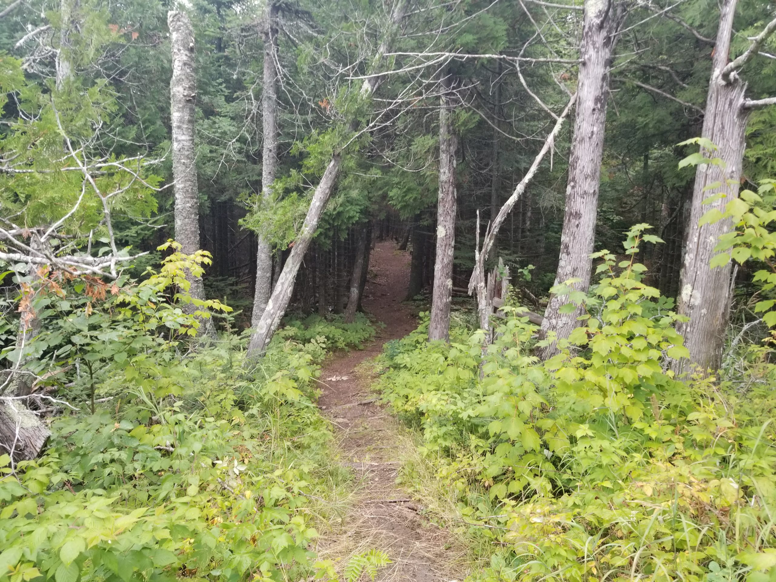
We woke up early the next morning, removed our bear bag from the string that was supporting it, and set off through a sugar maple stand feeling like a million bucks. Not even a mile into our hike, we were passing through some berry bushes when we heard some leaves rustling off the trail to the left. Suddenly, a black bear cub hopped out of the bushes ahead of us and fled through the trees! Our amazement turned into hesitation as soon as we realized that momma might be nearby, ready to protect her cub. In my head, I always imagined seeing a black bear, then standing tall and making noise to scare it away, but at that moment with a frightened cub on the run, we were genuinely scared. I carefully backed up and began talking loudly to Amy. After a few minutes of making noise, we timidly stepped ahead and we never did run into momma. We were thankful that the bears never approached our campsite in the night, especially considering we hung a bear piñata loaded with tasty food just a few hundred yards away from our sighting.
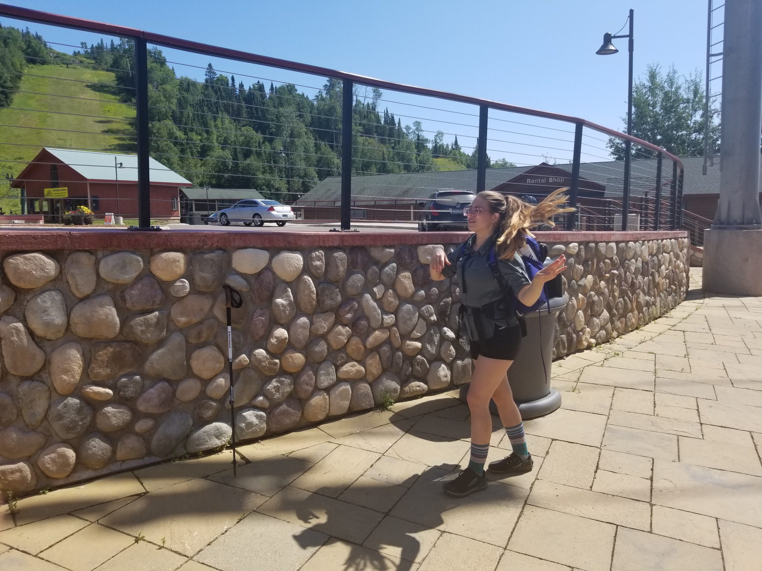
We traversed more rolling hills as we passed Leveaux Pond and skirted the side of Leveaux Mountain. Before noon, we reached the parking lot on Rt. 336 so I sent Harriet another text saying we were ahead of schedule and would meet her at our original pick up location on Caribou Trail tomorrow morning. Afterwards, we began a nearly two mile climb to the top of Moose Mountain. The trail winded along the ridgetop and we ran into some day hikers who told us they took a ski lift from Lutsen Ski Resort to the top! We felt cheated, but realized that the trail passed closely by the resort which would make a fine dinner spot. We descended Moose Mountain and immediately began another exhausting climb up Mystery Mountain. Finally, we found our way to the beautiful Poplar River and followed a road that led to the resort. We ordered spinach artichoke dip, burgers, and cold beer at Papa Charlie’s. Life was good.
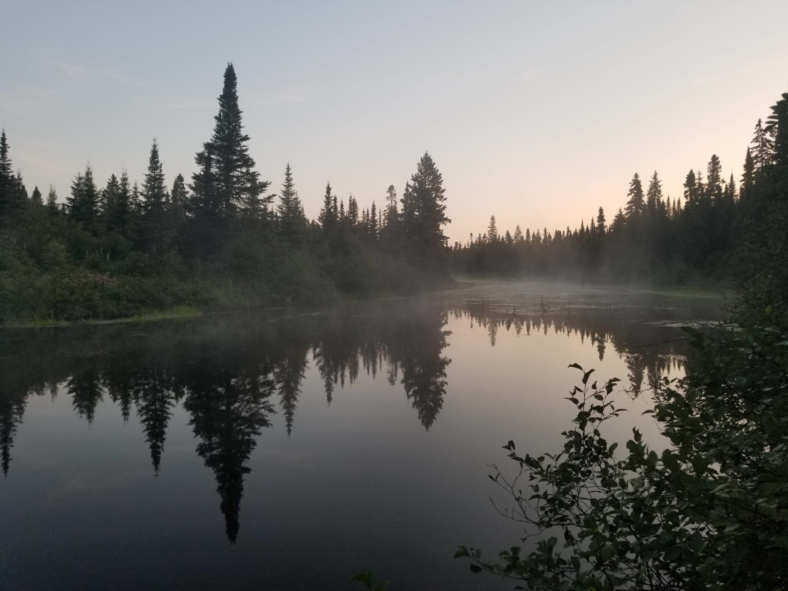
We left the resort a little after 2:00pm to finish up the remaining two miles to our campsite along the Poplar River. When we arrived, we made camp and decided to build another fire to celebrate our last night on the Superior Hiking Trail. Two middle-aged women came by to ask if they could share our campsite and we complied. One of the ladies explained she wanted to hike the Appalachian Trail but her husband suggested she do something shorter, so she found herself thru-hiking the entire SHT from Canada to Duluth! The fire was high maintenance and needed constant feeding in the damp, riverside air but was worth it for the four of us to relax in its warmth. Poplar River was gorgeous and easily my favorite campsite of the trail. We occasionally spent time sitting on tree branch that hung low just above the water and watched the water flow by in the cool mountain air.
Day 7
East Poplar River to Caribou Trail Parking Lot
Distance: 4.3 miles
Elevation Gain: 596′
The next morning was frigid. We packed up around 7:00am and shot Harriet one last text confirming we would be at the parking lot before 9:00am. The trail followed the Poplar River for a few hundred yards and then wound its way north. We enjoyed the last fleeting glimpses of Lake Superior through the trees and further down came to a knob overlooking the Poplar River. About two miles into our hike, we reached Lake Agnes. It was the largest of the inland lakes we passed and offered a variety of viewing angles from the top of hills to directly on the shore near Lake Agnes Camp. There was not a cloud in the sky as the sun rose across the calm water.
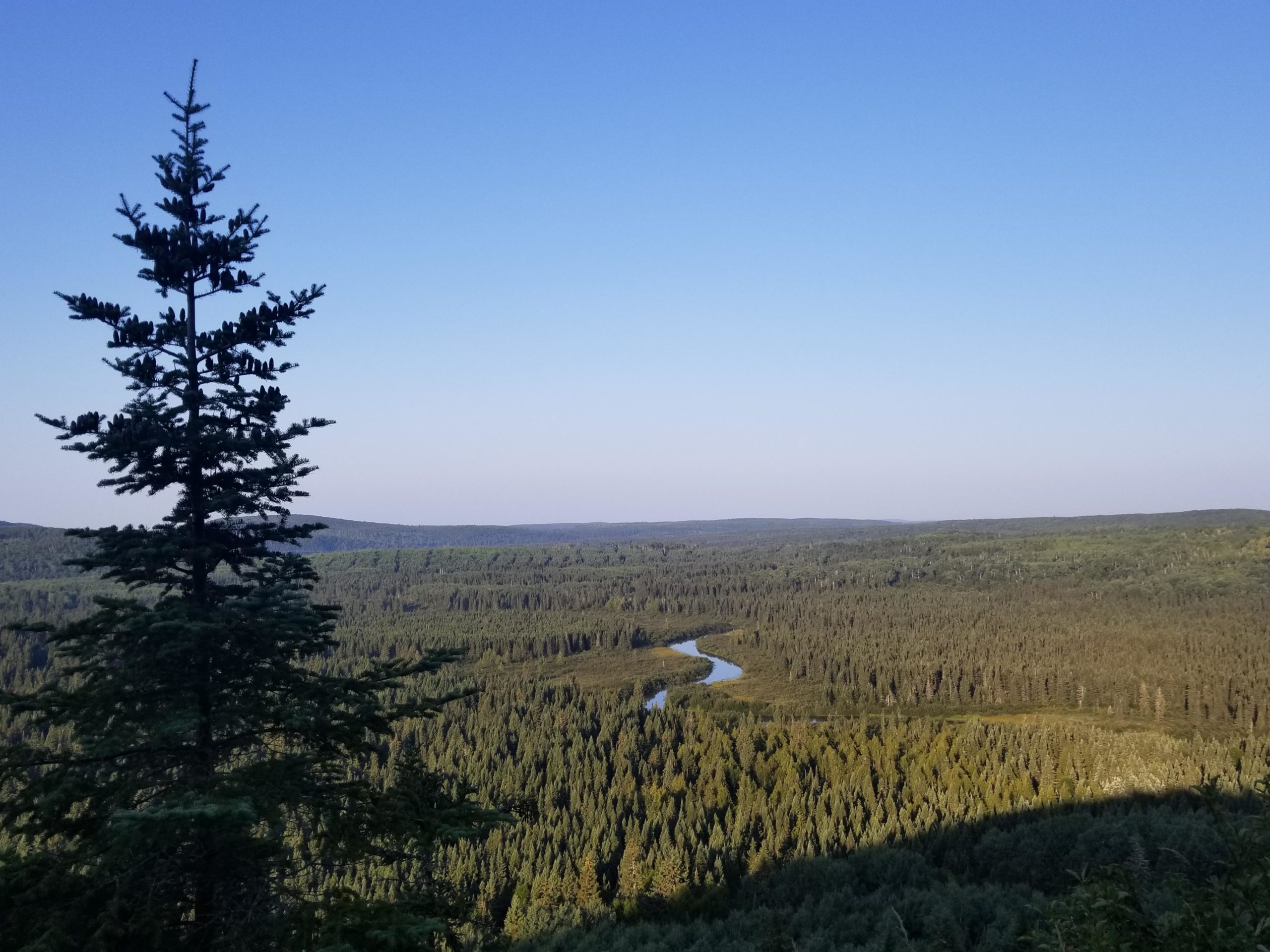
We turned off the SHT to follow a one mile spur trail that led to the parking lot on Caribou Trail. This was surprisingly difficult and we found ourselves navigating large rocks over hilly terrain that dragged on. We eventually reached the parking lot and our hike was completed. Harriet arrived shortly afterwards. She congratulated us on hiking so far and proclaimed, “You did 4 miles really fast. You do have youth on your side!” She shuttled us to Duluth where we found a hostel to shower and then explored the city before we flew out that evening. The Superior Hiking Trail remains one of my favorite hiking trails to date. We met so many interesting people from the ladies who shared our camp the final night, to Harriet Quarles, to the Legend himself, whom we never did pass a third and final time (but if you ever see this, we greatly appreciate the extra TP!)
