Trip Report
What: Rachel Carson Trail Challenge 2024
Where: Rachel Carson Trail between North Park and Harrison Hills Park
When: 6/22/2024
Distance: 37.8 miles
Conditions: high of 93, low of 75, partly cloudy
Rachel Carson
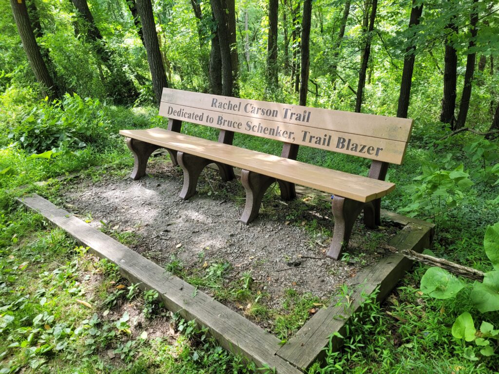
It would be remiss for me to not mention Rachel Carson, to whom this trail is dedicated. I did not know much about her going, but learned of a few of her accomplishments leading up to the hike.
“Perhaps the finest nature writer of the Twentieth Century, Rachel Carson (1907-1964) is remembered more today as the woman who challenged the notion that humans could obtain mastery over nature by chemicals, bombs and space travel than for her studies of ocean life. Her sensational book Silent Spring (1962) warned of the dangers to all natural systems from the misuse of chemical pesticides such as DDT, and questioned the scope and direction of modern science, initiated the contemporary environmental movement.” – https://www.rachelcarson.org/

Notably, this trail passes her birthplace in Springdale, PA. The organization surrounding the trail seems well in line with her beliefs of preserving nature for generations to come. The Rachel Carson Trail Conservancy, like most trail conservancies, is entirely volunteer based and the proceeds of the annual Rachel Carson Trail Challenge go towards the maintenance of the trail.
The Challenge
Hike 37 miles on the Rachel Carson Trail during the longest day of the year between sunrise and sunset.
https://www.rachelcarsontrails.org/events/challenge/rctc24
Preparation
We made some changes to the suggested training plan on the RCTC website, which suggests three long hikes in the months leading up to the challenge, resting as many days as miles you hike. On May 4th, Amy and I ran the Pittsburgh Half Marathon, which we felt should be considered a long hike. Over Memorial Day, we hiked 30 miles in two days on the West Rim Trail. Two weeks before the challenge, we hiked 10 miles out-and-back on the Rachel Carson Trail starting from North Park. The week before, we went for daily walks. That’s pretty much it.
Pre-hike
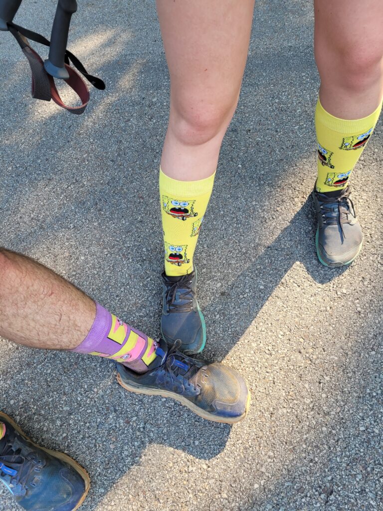
We woke up at 4:45am the morning of the challenge, got dressed, grabbed our packs, and microwaved two big bowls of oatmeal to eat in the car as we drove to the starting line. We arrived at the Harmar Pavillion in North Park around 5:30am. The previous day, we picked up our check-in tags at the same pavilion during a rigatoni buffet that the RCTC prepared for the challengers. To get our tags scanned, we waited in a queue of 50 or more hikers.
A man at the start was reading safety instructions on a megaphone, “drink lots of water”, “eat lots of salty food”, “if you stop sweating, you are nearing heat exhaustion”. The high was to be in the 90s and it was humid. We had a feeling the greatest challenge of the day would be staying hydrated. Difficult to do while hiking for hours on end across sun-exposed hills.
Section 1: North Park to Shaffer Road (7.3 miles)
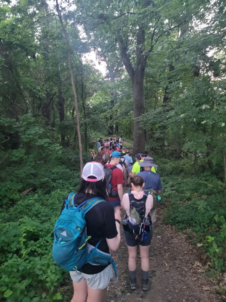
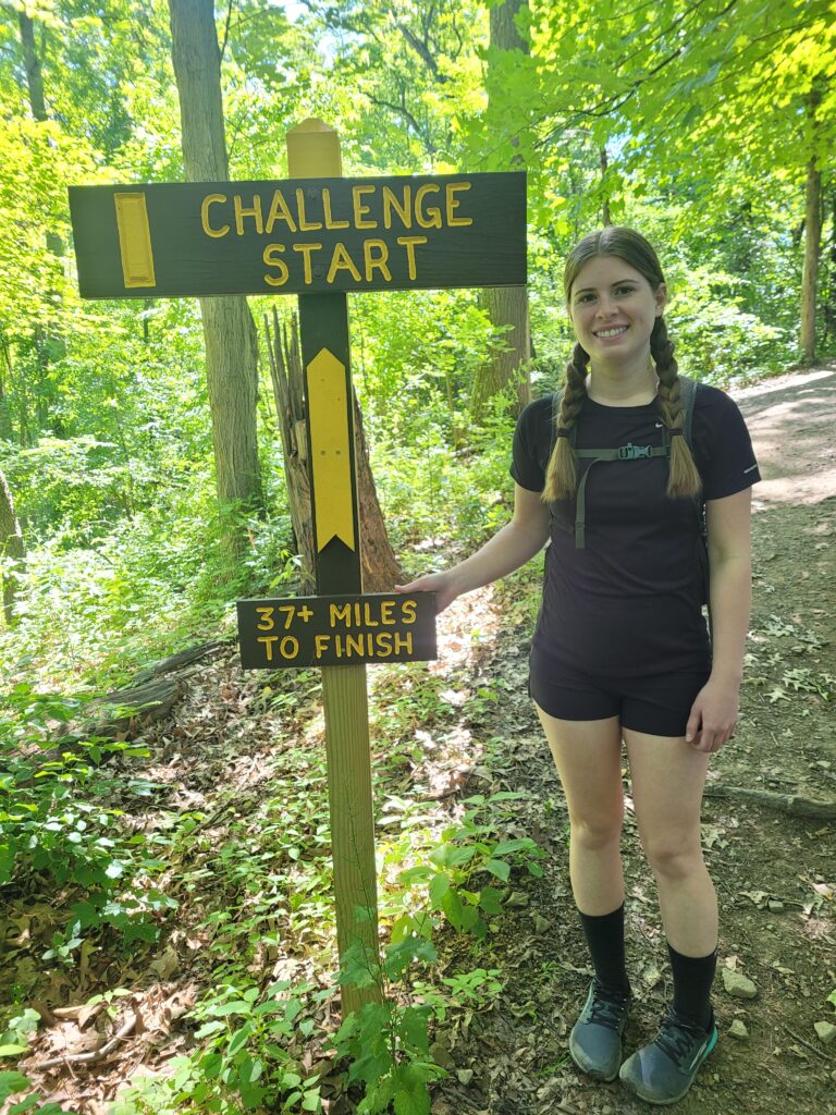
We started the hike at 6:50am. Into the woods of North Park, mile 1 of 37. For the first few hours of the hike, we were in the vortex. Ahead and behind was a line of hikers over 600 strong, all with the same objective of hauling ass to reach Harrison Hills by sundown at 8:54pm. That’s about 15 hours of hiking at the slowest pace. We had no objective for time, but thought it would be feasible to finish in 12 hours or so.
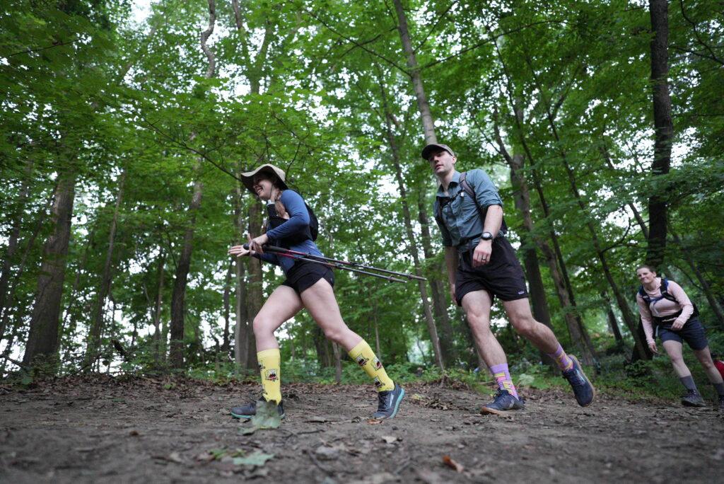
We were towards the rear of the pack, the more time-driven racers had started as early as possible. The herd of hikers moved at a surprisingly fast pace in the beginning, probably 3 mph or so. It was still dark, the weather was cool, and the trail starts with cruisey downhill in the trees. Everyone was in high spirits, chatting excitedly with one another. Some hikers tried to push ahead but it was very difficult considering the trail was narrow single track for several miles until it finally opens up along some railroad tracks.
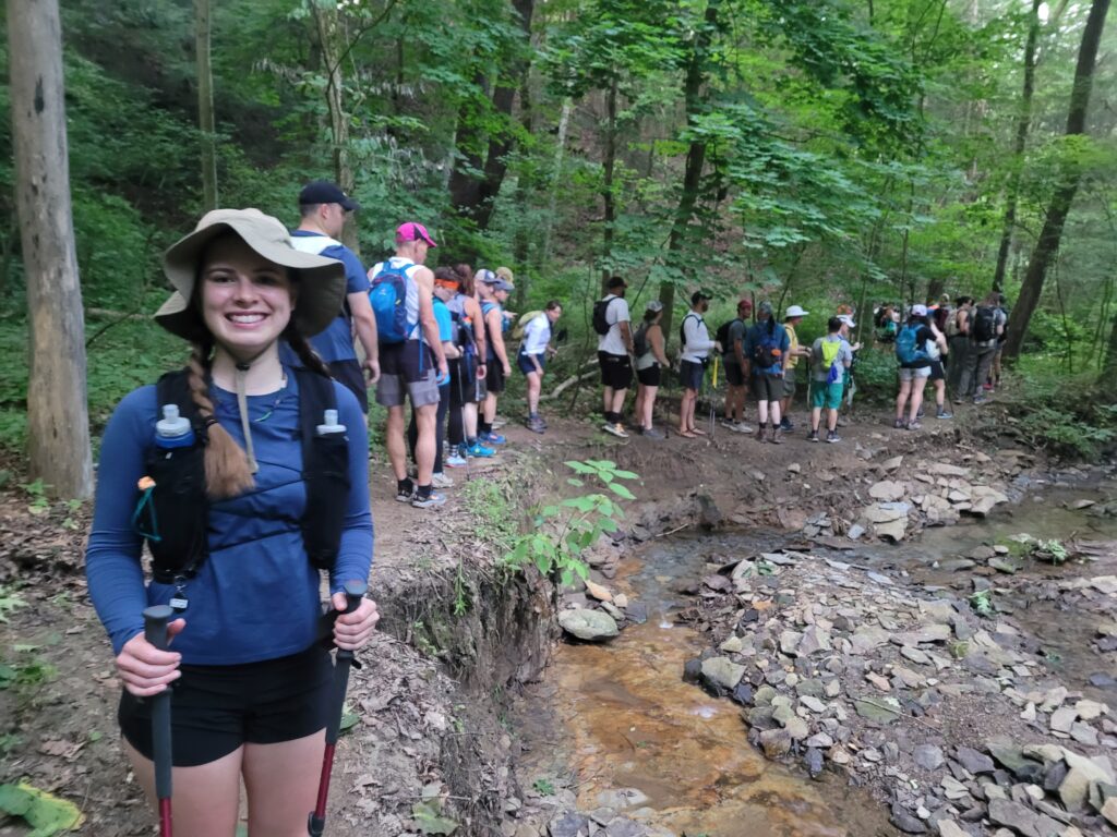
At one point, an obstacle involving climbing into and out of a creek bed caused the entire line to stop moving for several minutes. Stalled in place like we were waiting to enter the Squirrel Hill tunnels. As far as trail composition goes, this section included some wooded areas, a decent length of gravel road walking, a few sketchy road crossings, and plenty of hiking through residential neighborhoods. We jogged a few short stretches but mostly stuck to hiking and tried to hustle a bit when we had an easy opportunity to pass. This served us well in the first section, and we made the first checkpoint just after 8:00am.
Each checkpoint was an oasis. Four of them were spread throughout the challenge, dividing the trail into five distinct sections. At each, we scanned our tags at a booth and “cleared” a rolling cutoff time. There was a cooler of water and Gatorade, a table of snacks, buckets of ice water, a handful of port-a-potty’s, and a medical tent. Hundreds of volunteers that made this all possible, working at each checkpoint and I’m sure doing plenty more behind the scenes. They were truly amazing and the well-organized nature of the entire event continued to impress us throughout the day.
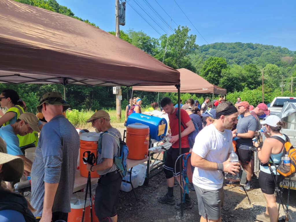
The medical tent had volunteers working to provide basic first-aid to those who needed it. Coolers were always full. Ice was constantly being replenished. Food was being prepped for easy handouts. The snack table had everything from peanut butter and jelly, to fresh fruit, to cookies, to energy bars, to red potatoes covered in salt. Those cold potatoes had no business being as delicious as they were, absolutely none.
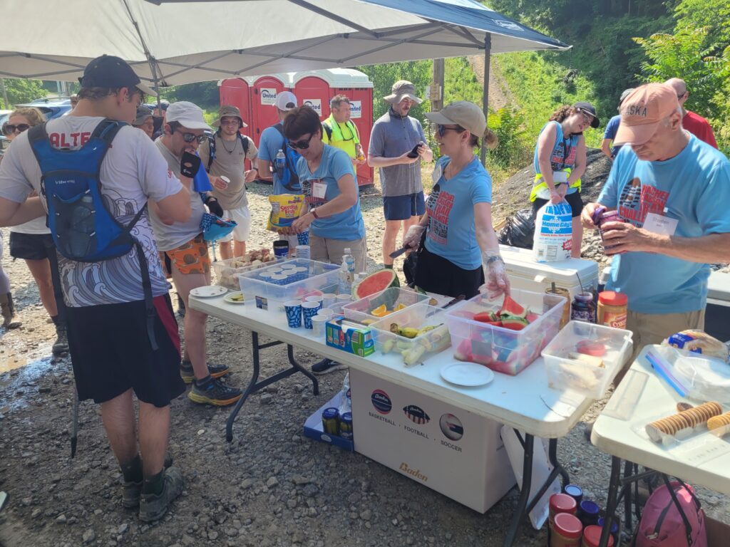
We had planned to take a break at every rest point, since they were so evenly spaces and included everything we needed to stay alive. We forced ourselves to drink as much as possible and eat one more snack than we really felt like eating.
Section 2: Shaffer Road to Log Cabin Road (7.5 miles)
An hour into this section, we passed the 10 mile mark and were officially in uncharted territory. According to the RCTC, part of the challenge is not getting lost, and there are several points were the actual path is not obvious. Otherwise, the trail is in good shape and pretty well blazed. Fortunately, the mass of hikers was still pretty dense and following the person ahead of you was a good strategy to stay on track.
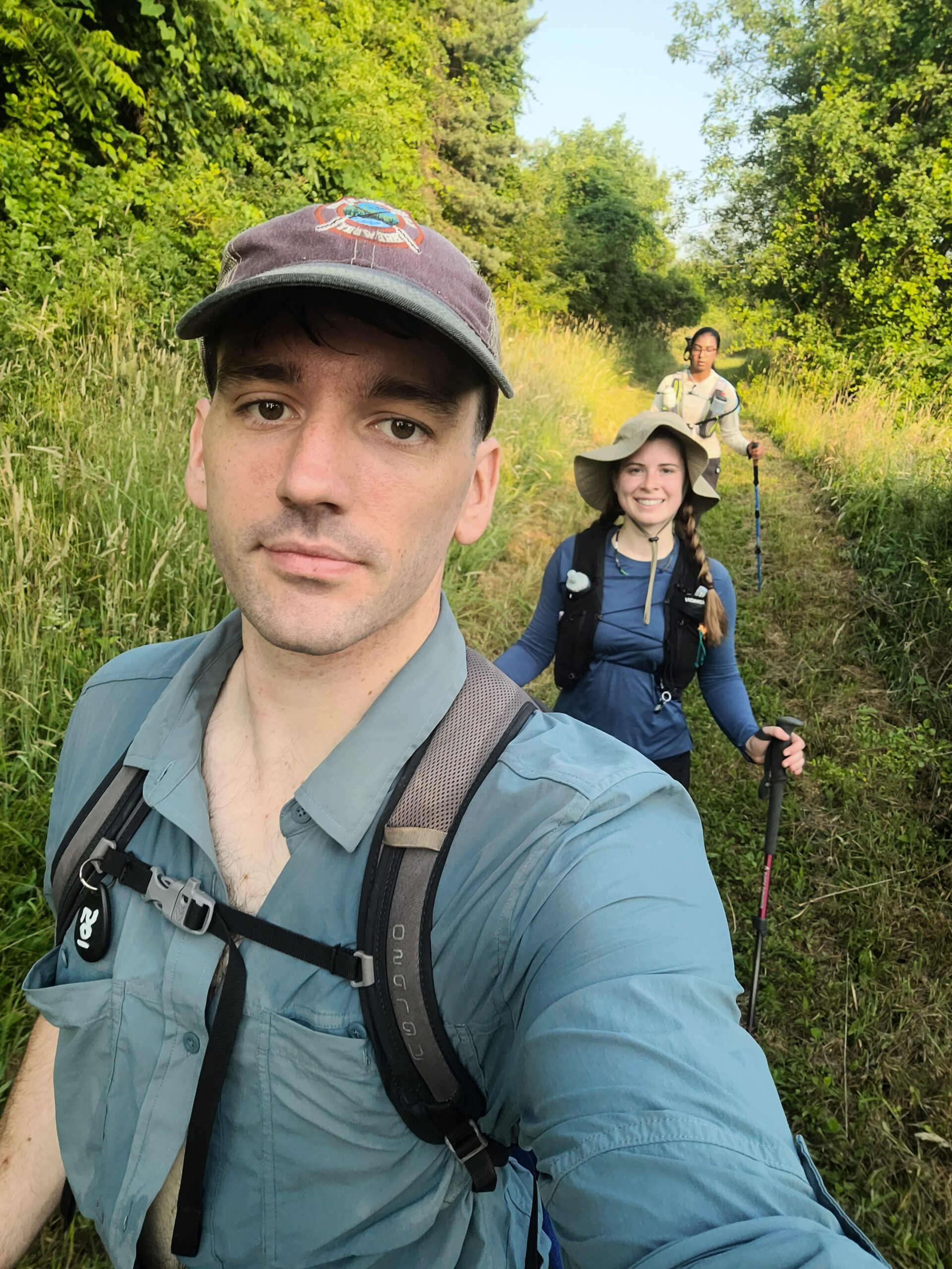
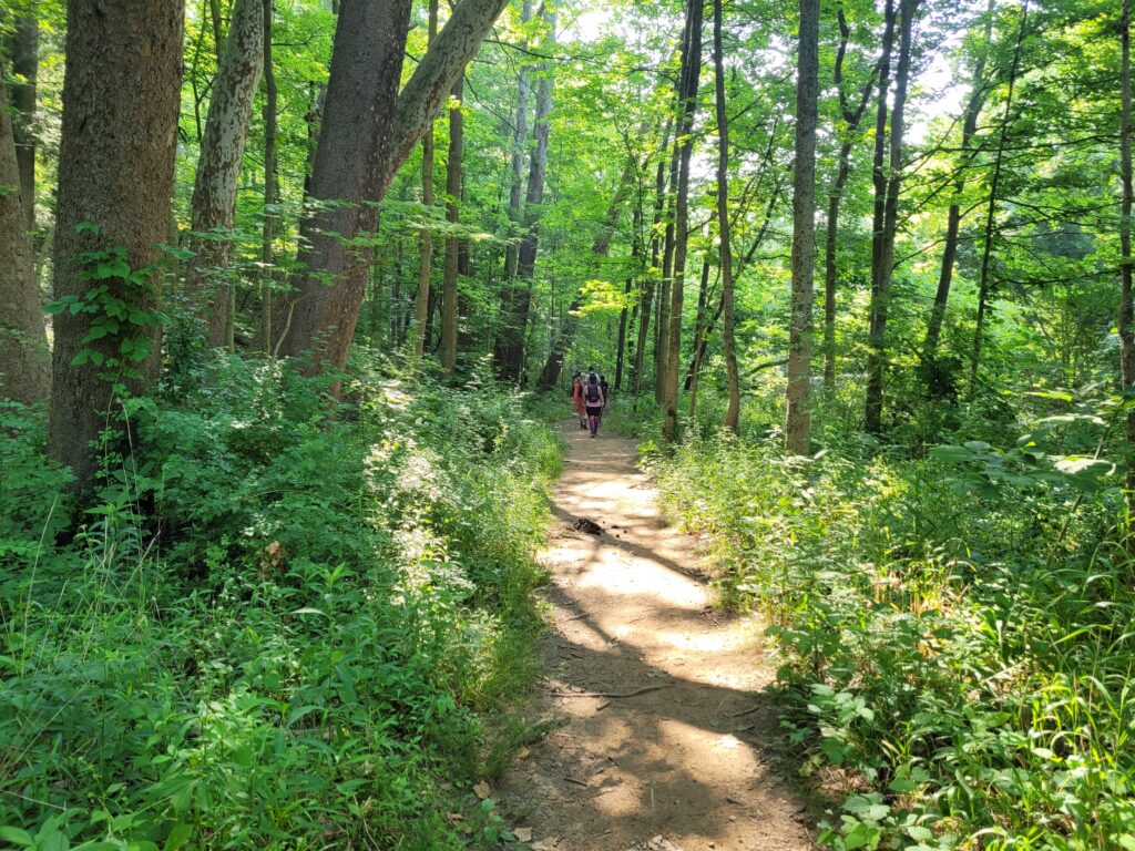
We made it to Emerling Park, which featured some baseball fields and followed a wooded river for a few miles. Then, we faced one of the first respectable climbs of the trail up-and-over Rich Hill. Just enough to slow us down and make us think, “that’s a hill, alright.”
Amy crushed it, as usual, and we continued on our way. This section had few road walks and the temperature was still in the 80s, so we did not have much trouble even as we neared the 15 mile mark. Still, 15 miles is already a respectable distance for a day of hiking. In fact, 15 miles was our average daily mileage on the AT. Normally, this is when your body starts telling you to just, like, take it easy.
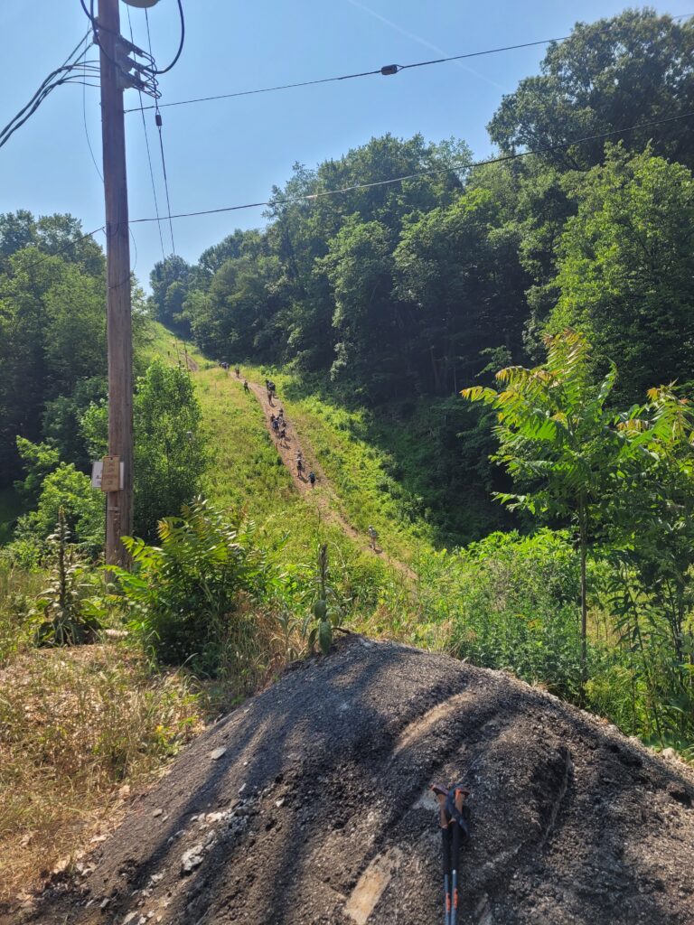
We pulled into the checkpoint and proceeded to take our longest break of the whole hike, nearly 30 minutes. It included restroom breaks, lots of water, eating as much as we could stomach, and thick applications of sunscreen. In my mind, the next two sections would be the crux of the entire hike, 15 miles in the heat of the day after shedding our fresh legs. Visible from the checkpoint was the most intimidating climb yet, a steep hill fully exposed to the sun.
Section 3: Log Cabin Road to Agan Park (7.2 miles)
Amy and I feel most confident in our ability to climb hills, something we surely picked up from thru-hiking. The elevation change of the trail was roughly 7k feet both up and down, but almost felt like a non-factor, save a handful of punishing climbs. We passed dozens of hikers pulled over on the way up this next hill, taking a breather, baking in the sun. Powering through, if possible, was a much better strategy, then rest in the shade.
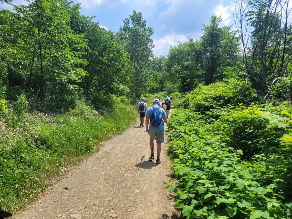
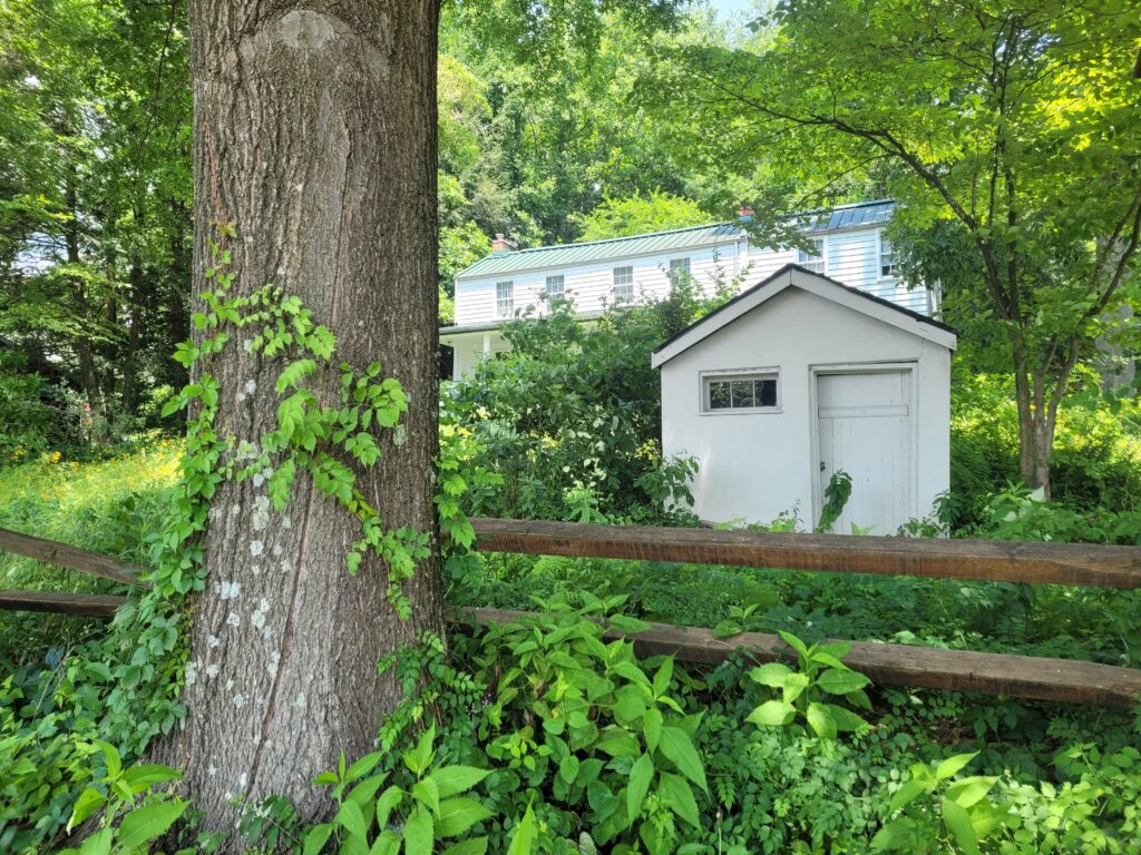
At the top of the hill, volunteers were handing out popsicles, which is always a boost. Moving right along, several more hours passed of the standard routine. Still pushing a little over 3mph hiking speed, we rolled into the neighborhood of Springdale and followed the road past Rachel Carson’s Homestead. Her homestead, a farmhouse where Rachel was born in 1907, was a nondescript white building. It comes with an interesting history and an active organization dedicated to offering tours and teaching Rachel Carson’s legacy on environmental studies.
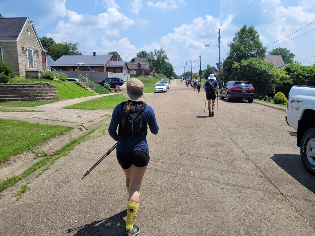
The Rachel Carson Trail really feels like a community trail, not only for residents of the many neighborhoods directly on route, but for everyone in the Pittsburgh area. The trail alternates between two distinct settings:
1. road walks, neighborhoods, and farms (where people live)
2. deciduous forests and parks (the spaces between)
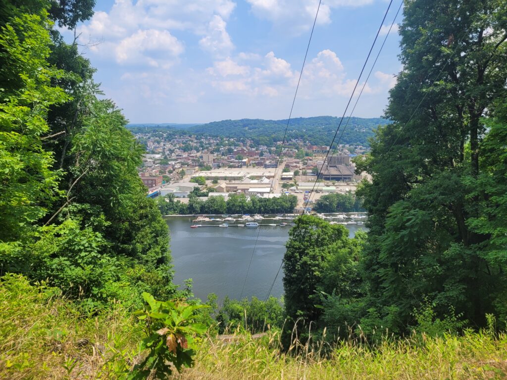
Shortly after leaving the town of Springdale, we climbed a ridge which opened up at several points to a view of the Allegheny River. It was perhaps the most scenic view of the trail. Here, we crossed mile 20 and still felt we had plenty of steam approaching the Agan Park checkpoint.
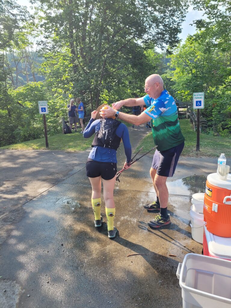
An ideal routine at a checkpoint looked something like this: arrive, scan in, dunk hat in ice water, pour ice water on face, fill up water bottles, chug one, fill it up again, eat a potato, sit down in the shade for five or ten minutes (do NOT skip), apply sunscreen, take two ibuprofen, eat a second potato, pour ice water on face, leave.
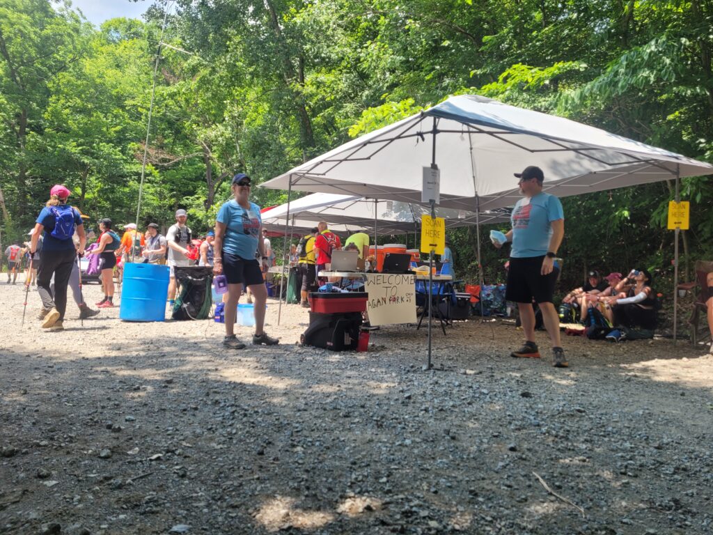
This much we did, as an increasing number of other hikers decided they had enough and dropped out while they still had support. On the way out, I asked a volunteer to give me one more ice-cold sponge bath (a true game changer throughout the challenge), but accidentally let water dump into the charging port of my phone. This made me lose cell service and cease the automatic sending of updates to our family, whom all probably assumed we died of heat stroke.
Section 4: Agan Park to Bull Creek Road (7.3 miles)
We reserved our headphones for this chunk of the trail, as sort of musical power hour to combat creeping fatigue. I listened to two pump-up albums (brakence and Skrillex), which killed a little over an hour.
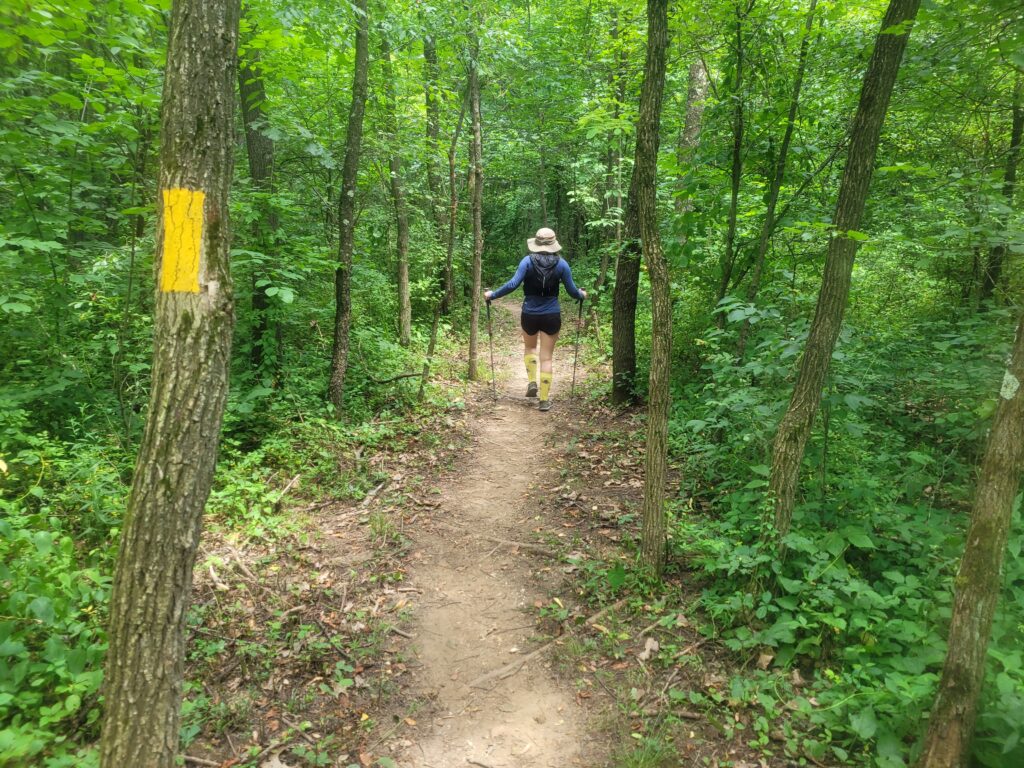
Amy and I both commented later that we felt some subtle effects of dehydration around this point, borderline dizziness and that distinct, light-headed disassociation. I continued slugging Liquid IV and ate a Honey Stinger, which helped me feel a lot better.
![IMG8926340458274715770[1]](https://www.amccaff.com/wp-content/uploads/2024/06/IMG89263404582747157701-768x1024.jpg)
By now, the hikers had fractured into micro-groups, typically led by someone hiking just slow enough to be a bit annoying, but not slow enough to warrant passing. Rather, you adopt the new pace for a half mile or so until you reach a wide road or intersection. We had regular conversations with hikers, typically about the miserable heat or how much the previous hill sucked.
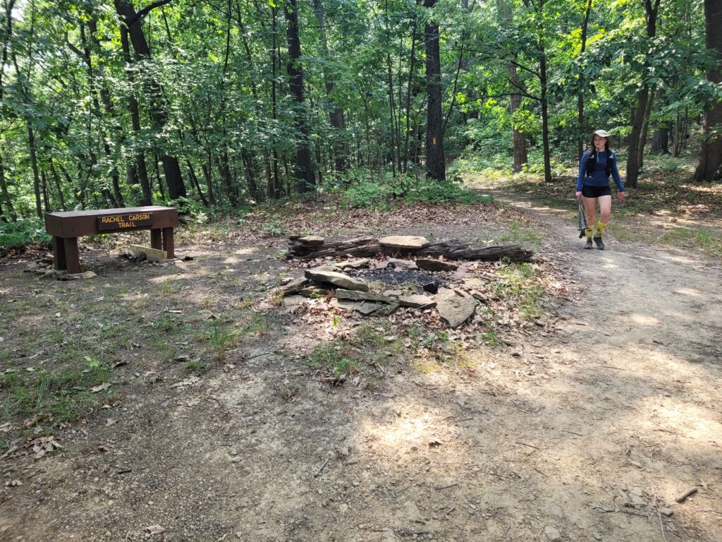
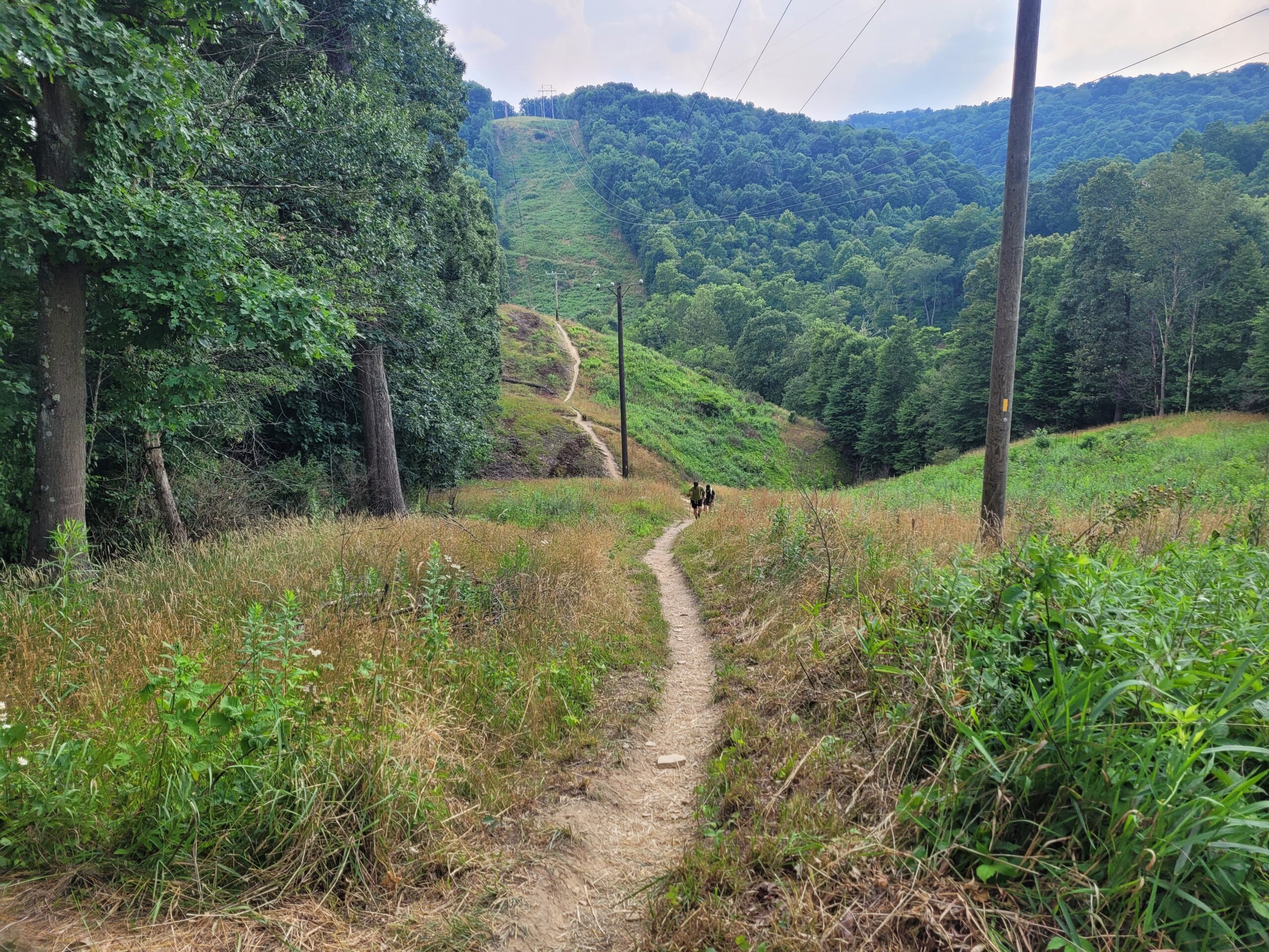
There were a couple of steep climbs, which were almost always found in power line clearings or otherwise sun-exposed areas. I do not remember many significant hills that were protected by the trees. Why? I wish I knew.
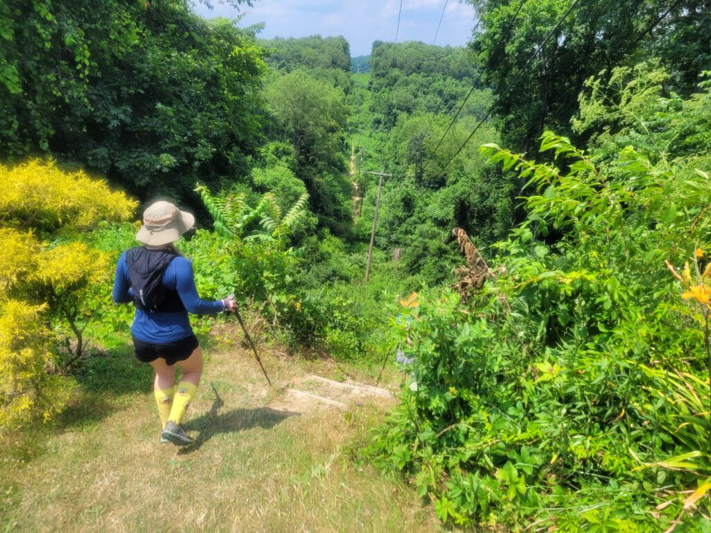
We hiked the length of a marathon and simultaneously broke our record for our longest single day of hiking. We thought about it a little more, then realized that meant we still had 10 more miles to go. Something like four more hours of left foot, right foot, left foot, right foot. It was 4:00pm and we had already been hiking for 10 hours straight.
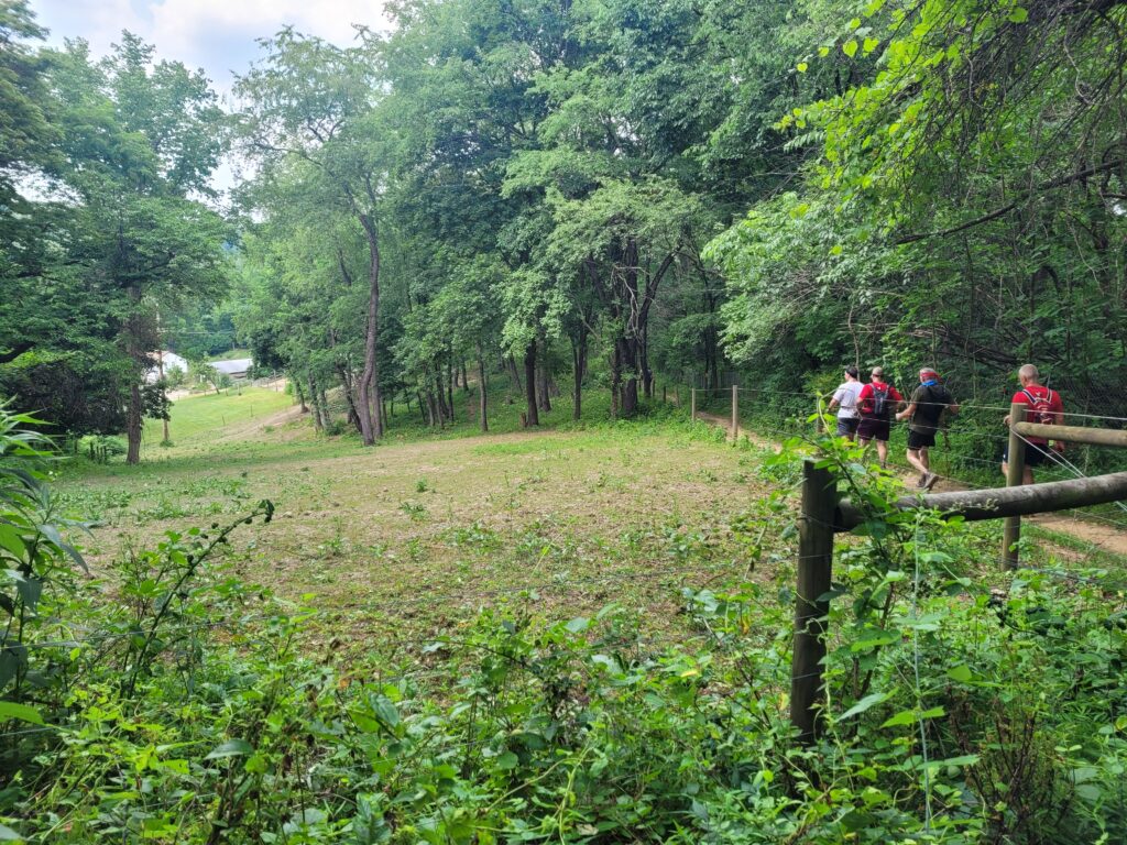
The final checkpoint was a major mental hurdle. Our plan had not changed, but one more phase of recovery put us in position to complete the challenge in the next three hours. Our appetites had declined a bit, but I saved some room for some Oreo’s and last minute energy bars. I talked to one other hiker who was calling it quits here, but I would say that most who reached this checkpoint were ready to go all the way. After fifteen minutes, we stood up. “Let’s get this over with.”
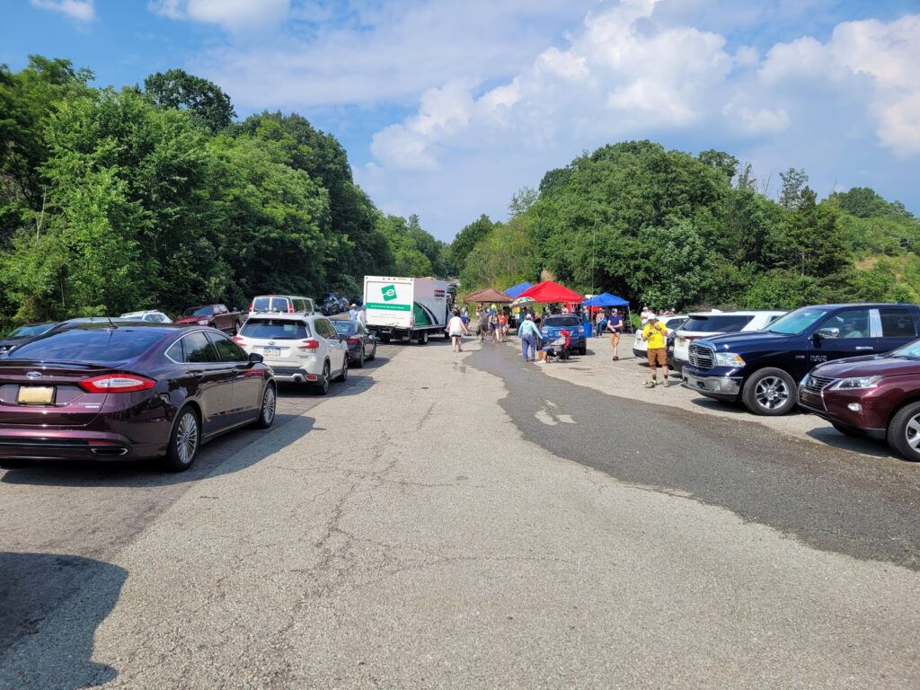
Section 5: Bull Creek Road to Harrison Hills State Park (8.0 miles)
Our bodies were in auto-pilot, but this didn’t make the miles feel any shorter. Hiking at a 3 mph pace means completing a mile every 20 minutes. That’s 20 minutes you had to exist for and (optionally) be present for. It is hardly a variable when you have your pace so dialed in. Even jogging that one downhill (which we wouldn’t have dared by this point in the hike) only saves a minute or two. In other words, we just had to keep going, one step at a time, one minute at a time, and trust that the progress would follow.
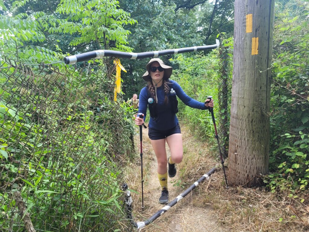
We eventually passed mile 30 and came upon Burtner Rd, which sat at the base of a comically steep hill. This trail has been the only other trail I’ve hiked that has straight uphill climbs as steep as some found on the Appalachian Trail. The terrain for this particular butt-kicker was loose dirt and shale rock step-ups. Once we crested the top, the trail immediately shot down fifty feet, then went right back up (then down, and back up again) (then down, and back up again).
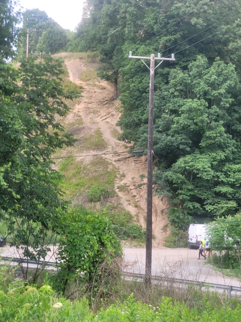
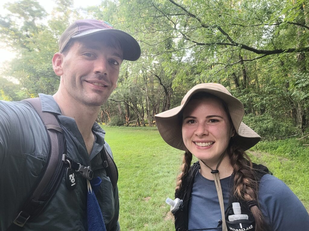
I fell into stride with a guy listening to the Pirates game while they pulled off a save. Then, we kept hiking. The final section was another stretch of little to no road walking. Everything was a bit quieter. The sun was within spitting distance of the horizon. We were starting to feel a bit fatigued. Still, we kept hiking.
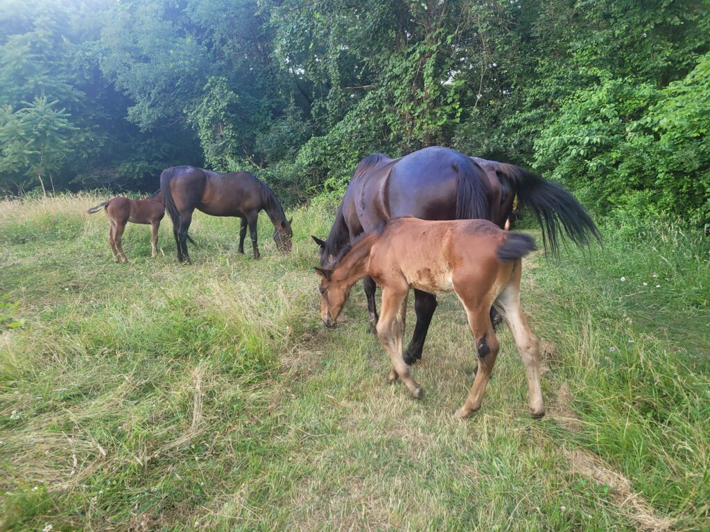
We came into and out of some farmland and came upon a happy family of horses with two baby foals obscuring the trail. We petted them and smiled, quite the morale boost while 34 miles in. We wandered into one final neighborhood, then crossed Freeport Rd and entered Harrison Hills Park.
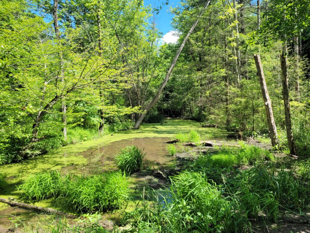
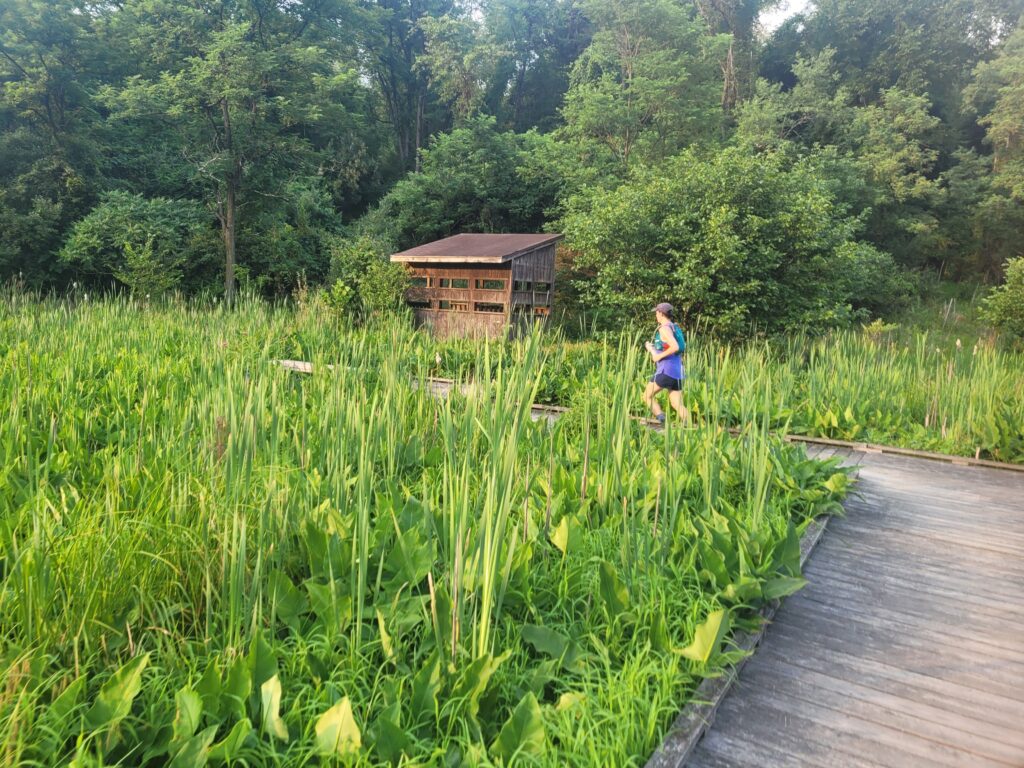
We thought we only had one mile remaining, but after hiking that remaining mile, we came to a sign that said, “one mile remaining”. Fortunately, Harrison Hills Park was beautiful and we hit it right at golden hour. We walked among a dozen hikers or so through the forest and along a boardwalk with some wetlands. No one was really talking too much anymore, but we could taste the burgers waiting for us at the finish line.
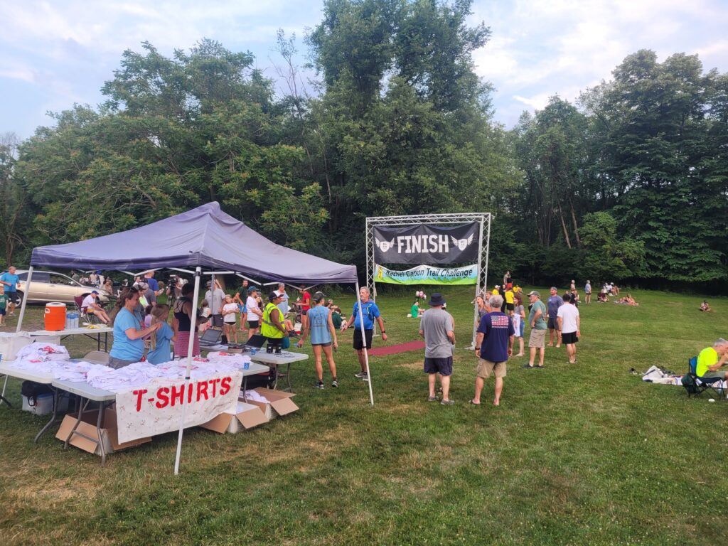
A half mile later, we passed the “0.7 miles remaining” sign. Ten miles later (or so it felt) we passed the “0.4 miles remaining” sign. At long last, we heard cheering in the distance and reached the finish line. A decently sized crowd congratulated us, we snagged a free T-shirt, then plopped down in the grass for a few minutes.
Post-hike
The official results are listed on the RCTC website.
Alex’s official completion time was 13:58:35, Amy’s was 13:58:43. This landed us as the #178 and #179 finishers, respectively. Our overall pace was 22:32 min/mile. The 2024 challenge had an astonishingly low completion rate of 45%. The completion rate of nearly every other year the challenge has been held has been over 75%. This is a testament to the brutal conditions that made the 2024 challenge one of the hardest to date. The winner this year was Andrew Krupp with a time of 6:59:54.
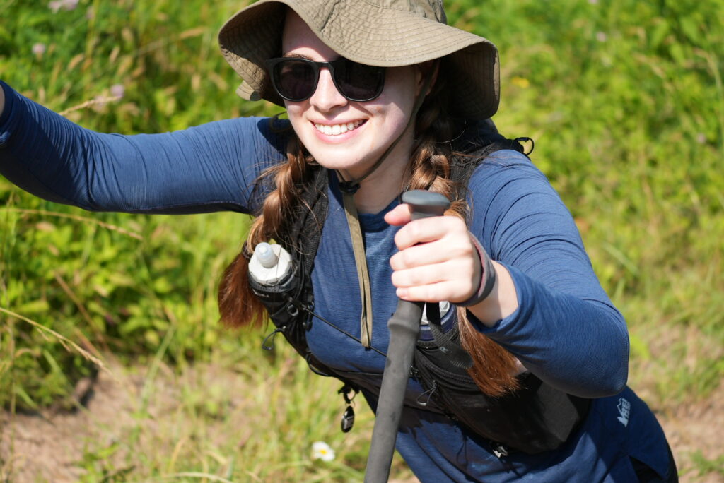
Other fun metrics: I logged 79,199 steps on the day, while Amy reached over 90,000! I burnt 7,360 calories, which means I should have eaten something like 36 Clif bars during the activity. Unsurprisingly, neither of us ate nearly that much. Garmin estimates I lost 13.6 liters of sweat, which almost sounds conservative…
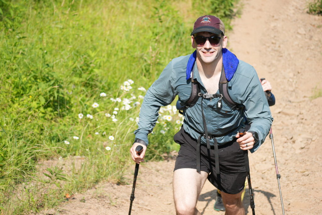
As far as recovery is concerned, our bodies did not feel too bad at the end of the hike. I had a single blister on my left heel, Amy had a couple between her toes. We were tired, of course, but not as sore as we expected, which I attribute to our diligence in drinking water throughout the day. Our condition felt nothing like the “hiker hobble” we experienced while thru-hiking. It was less deeply rooted in our skeletons and more superficial aches and muscle soreness. Two days later, we would begin to feel lightheaded during the day. A Google search suggested this was a result of low-blood sugar; our bodies depleted the entirety of their energy reserves. It took us a few days for things to go back to normal.
About 10 days after the challenge, I developed the symptoms of a gnarly case of hand foot and mouth disease and have no idea where it could have originated, if not from the ice water buckets at each checkpoint. Hundreds of sweaty hikers each dipped their hands and clothes into the buckets, then took the sponges and squeezed them overhead. I recall the water from one of these buckets dripping into my eyes and mouth, it burned with saltiness.
Back at the barbecue, we chatted with a few other hikers and enjoyed the food the RCTC had prepared, including chili dogs, burgers, cookies, and ice cream. Stick City Brewing even sold some special IPAs they brew each year for the challenge. Our sense accomplishment was only slightly obscured by our overwhelming desire to just go home.
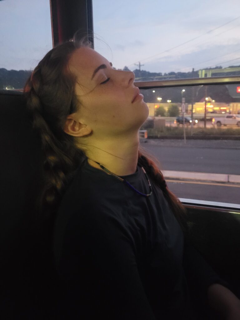
We still needed to wait for the bus shuttle to depart and drive us back to North Park to retrieve our cars. The ride was long and an older gentleman threw up outside the window on the way there, but if nothing else, we didn’t have to hike any more. Once we were back at North Park, we drove home and made it back safely by 10:30pm and went to bed.
Talk about a long day!

Thank you for sharing this!! Congratulations on completing the challenge on such a miserably hot day!
It isn’t wise to take Ibuprofen during endurance events, especially when it’s hot. https://med.stanford.edu/news/all-news/2017/07/pain-reliever-linked-to-kidney-injury-in-endurance-runners.html