Trip Report
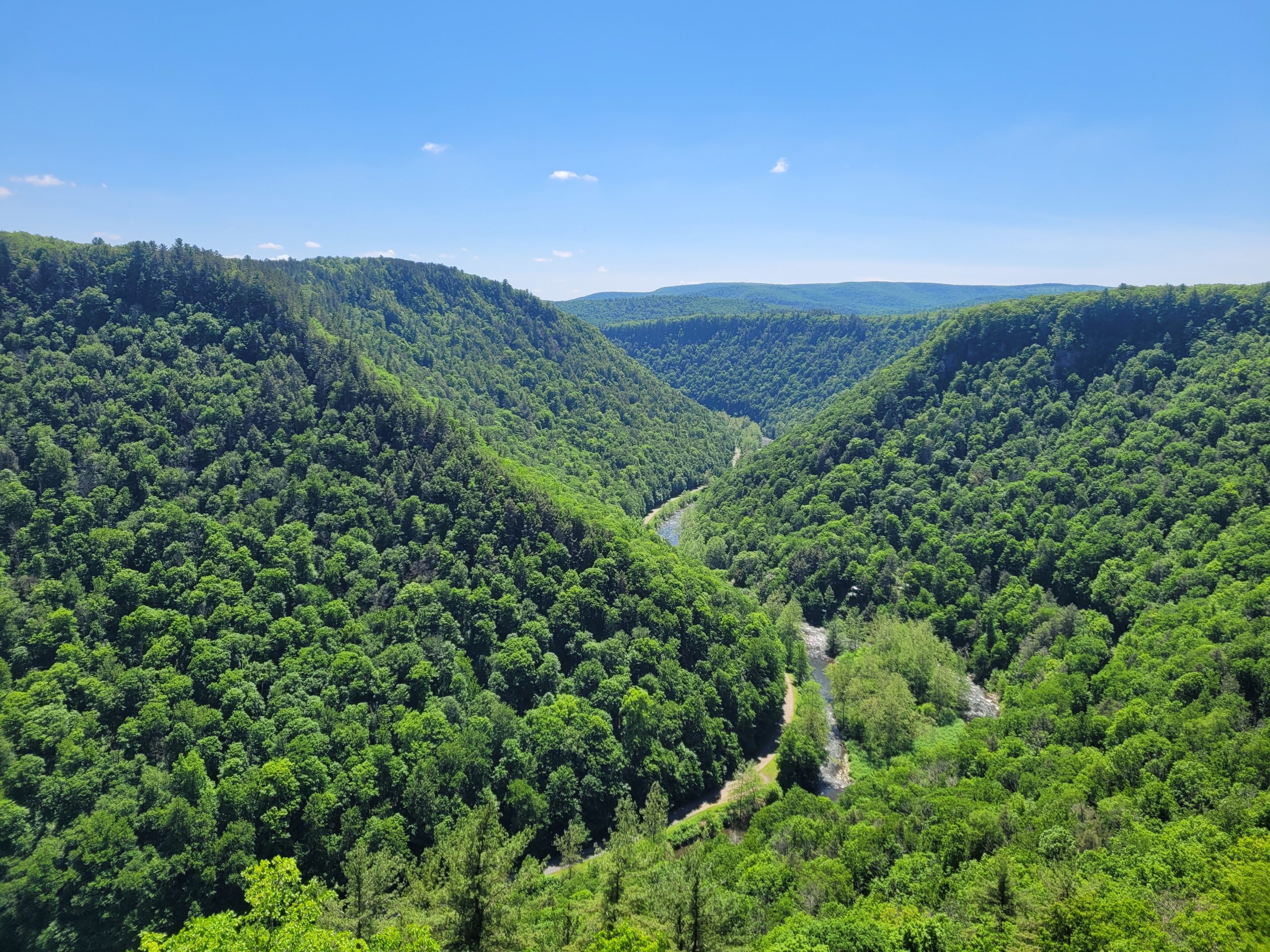
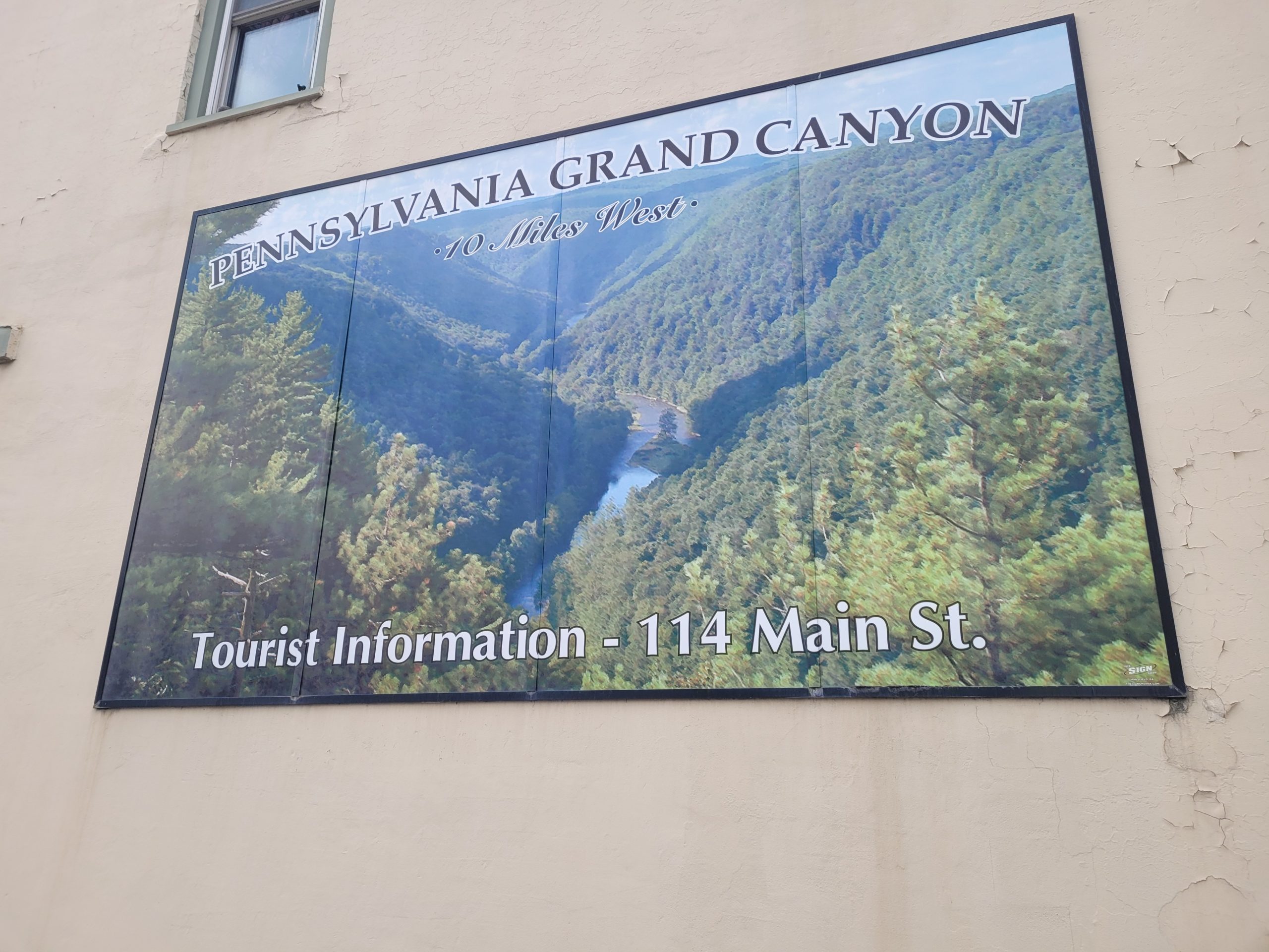
Did you know there is a Grand Canyon in Pennsylvania? It’s true, and it is way cooler than the one in Arizona (temperature wise). It’s officially known as Pine Creek Gorge and is a true hidden gem. There is a popular biking trail called the Pine Creek Rail Trail that travels through the gorge and a hiking-only trail that traverses the western rim, aptly named the West Rim Trail. This has been on my to-do list for years and with an open Memorial Day weekend on my calendar, Amy and I finally committed to it. The long weekend gave us plenty of time to get there, complete the hike, and spend some additional time in the small town of Wellsboro, PA.
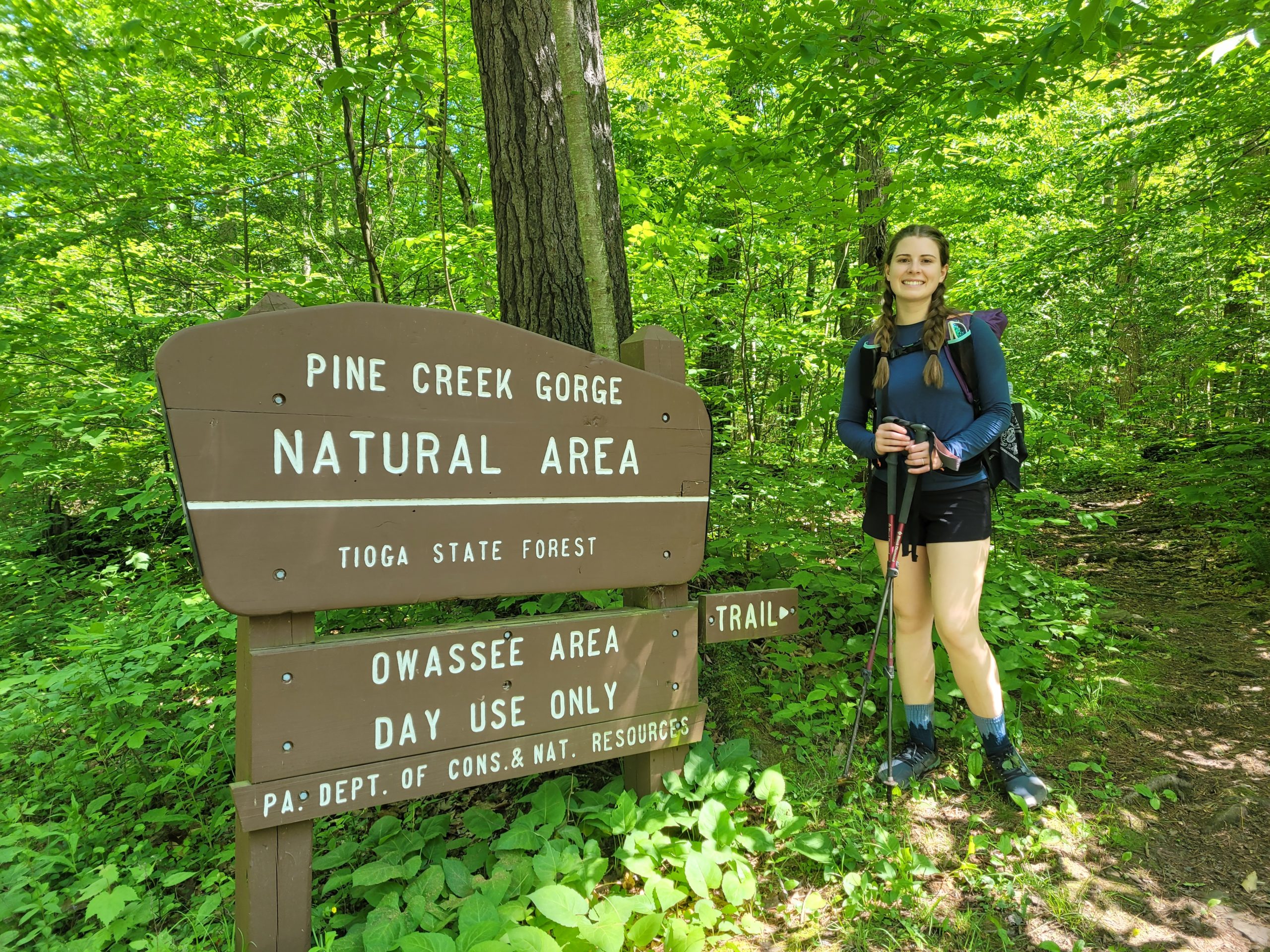
Where: West Rim Trail NoBo through Colton Point State Park and Pine Creek Gorge Natural Area in North-Central Pennsylvania
When: 5/24 – 5/25
Distance: 30 miles
Conditions: mid 50s to low 80s, mostly sunny, thunderstorms at night
Pre-Trip Information
Overview
The West Rim Trail is one of the best backpacking routes in Pennsylvania. The landscape is beautiful as it traverses the west rim of Pine Creek Gorge (aka PA Grand Canyon) and offers more views-per-mile than you can find pretty much anywhere else in the Keystone State. The terrain is forgiving, with only a handful of short climbs along the whole route and a notable lack of rocks and roots. There are great campsites scattered about and no competitive reservation system. It is also easily completed in a weekend, either in two or three days, making it perfect for beginners.
Permits
No permits are needed to hike or camp along the West Rim Trail. In total, we made three reservations for a campsite the night before the hike, a car shuttle, and a hotel after the hike.
Water
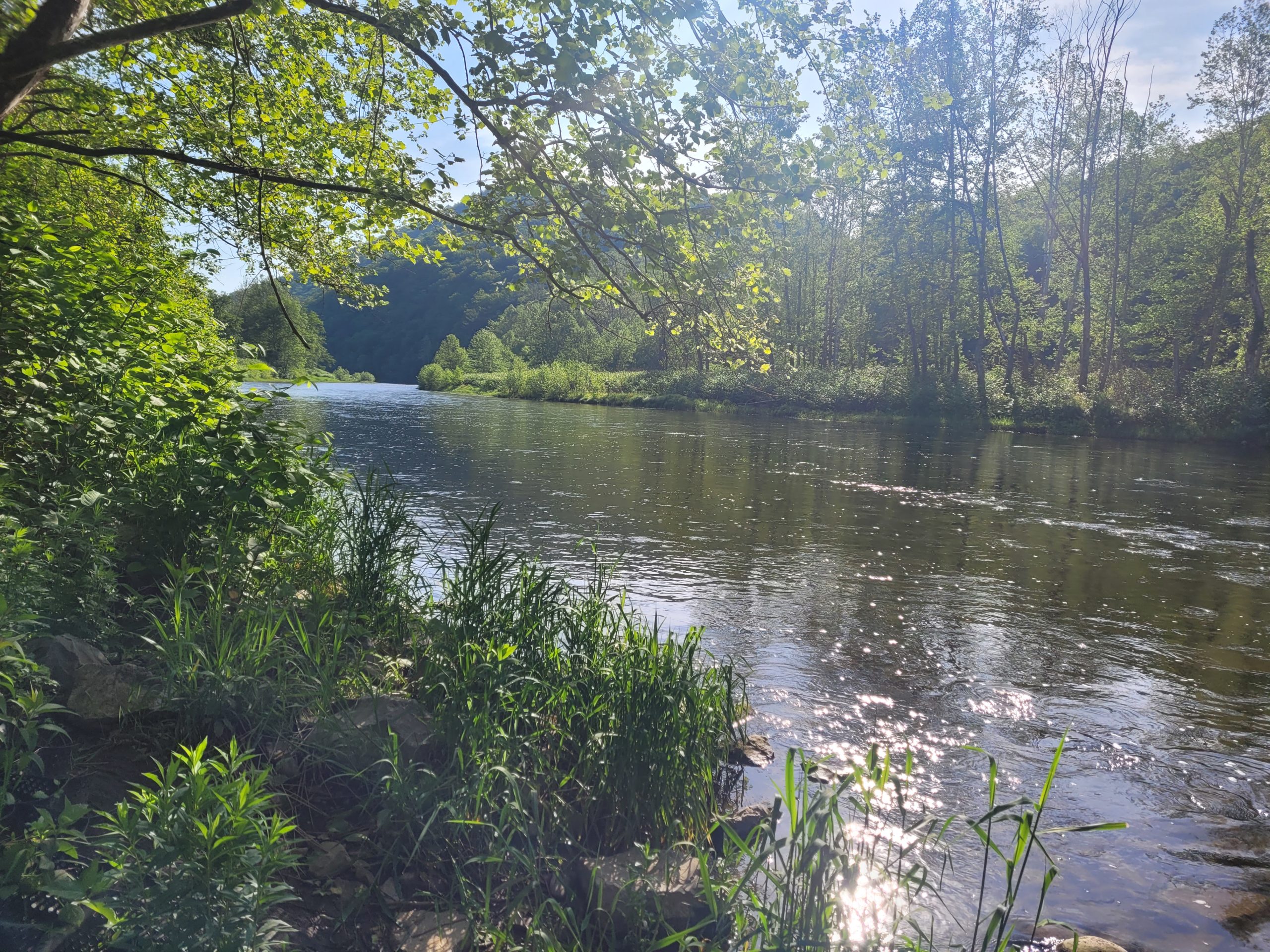
We were initially concerned that this trail might not have many opportunities to fill up water since it traverses the rim of a gorge. However, there are ample stream crossings along the route. It was spring though, so there may have been more water for our trip than during other times of the year. We crossed a stream at least every 4 or 5 miles and every source was very clean. Despite planning a dry campsite, I carried less than 3L total water bottle capacity and was fine.
Transportation
This trail is not a loop, so to hike the full thing you will either need to travel out-and-back or plan for a ride to one end. Another pleasant surprise was the ease of coordinating a shuttle despite this trail being so remote. Pine Creek Outfitters is the place you will want to work with. You have two options through them: park at either terminus and take a shuttle offered at select times each morning, or have them valet your vehicle to the opposite terminus while you hike. We went with the latter, which is a bit more expensive (cheaper if you have a full car load of people) but is much more convenient.
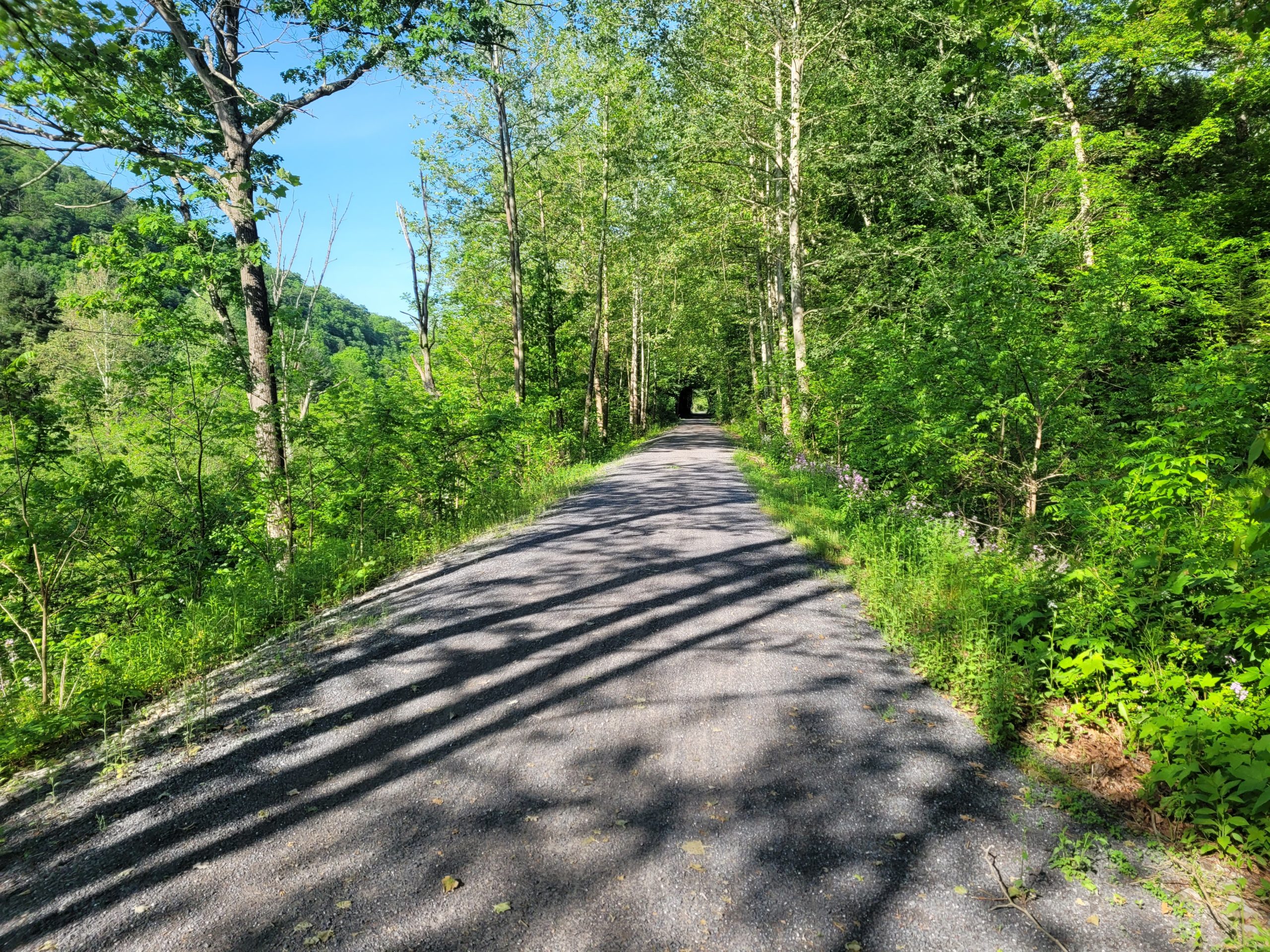
Amy and I drove up from Pittsburgh, PA on Friday 5/24 after work. It is a solid four hour drive to Rattlesnake Rock and we made a pit stop at New Trail Brewing in Williamsport, PA. I under-planned this weekend and neglected to download the offline maps for the area. The southern terminus of the trail at Rattlesnake Rock has no cell reception. The northern terminus of the trail is close near Wellsboro, PA and has good cell reception.
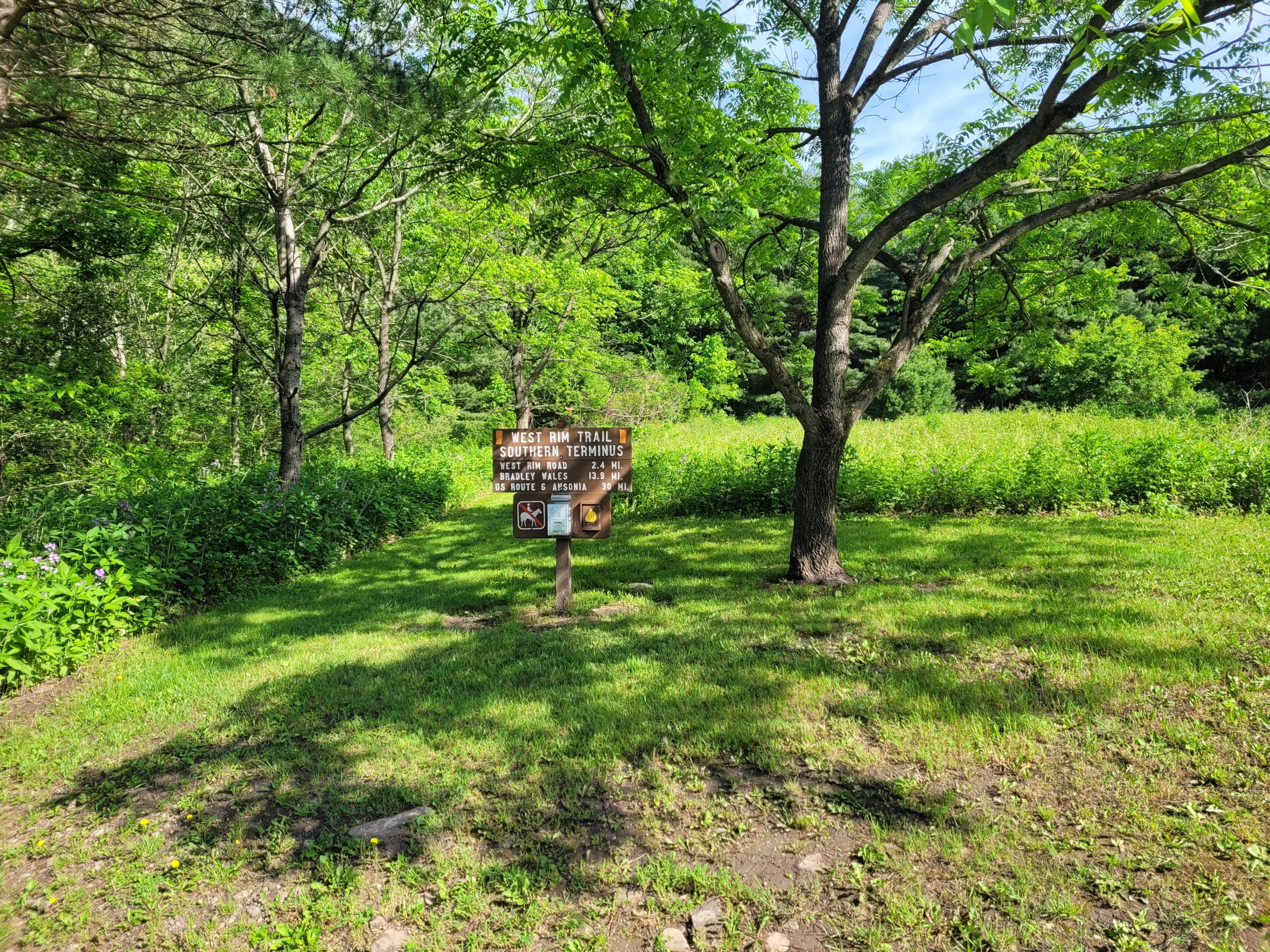
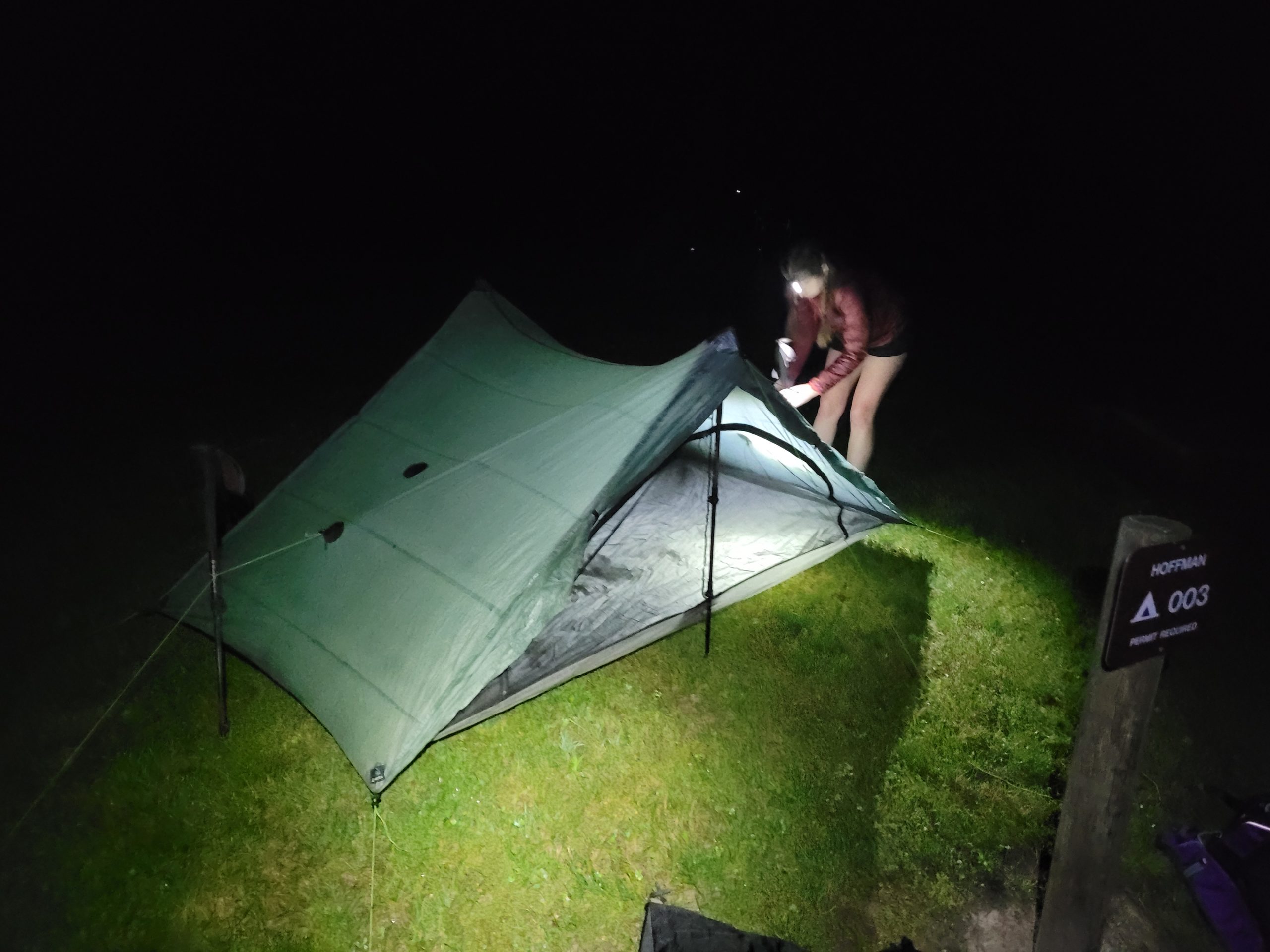
We booked a spot at Hoffman Campground, which is primarily for bikepackers and accessible via a gravel trail with parking access at Rattlesnake Rock. We drove directly to where the Google Maps pin took us and quickly realized that it was not a car campsite and had no idea how to get there. Without service, we drove around helplessly for a short while before we pulled over at a B&B with the porch lights on to ask for directions. It was 11:00pm and we creepily walked to the front door, afraid to bother whoever was sitting inside, and were about to bail when the front door opened. A concerned woman stepped out and we explained our predicament. Fortunately, she was very helpful and pointed us in the direction of Rattlesnake Rock. We finally made it to the parking lot and hiked about a mile on the gravel bike trail to reach Hoffman Campground just before midnight.
Day 1
Rattlesnake Rock (Southern Terminus) to Unmarked Campsite
Distance: 15.2 miles
Elevation Gain: +2843, -2034′
The sun was up and at em’ well before 6:00am and it made sure we knew. We crawled out of our tents to a truly splendid morning and could finally survey the area now that it was light out. Hoffman Campground was a large, flat grass field nestled beneath the towering rims of Pine Creek Gorge to the west. Two bikepackers were camped in our tent site with us. They explained that someone was occupying their site, because someone was occupying that group’s site, and so they occupied our site. We didn’t really care.
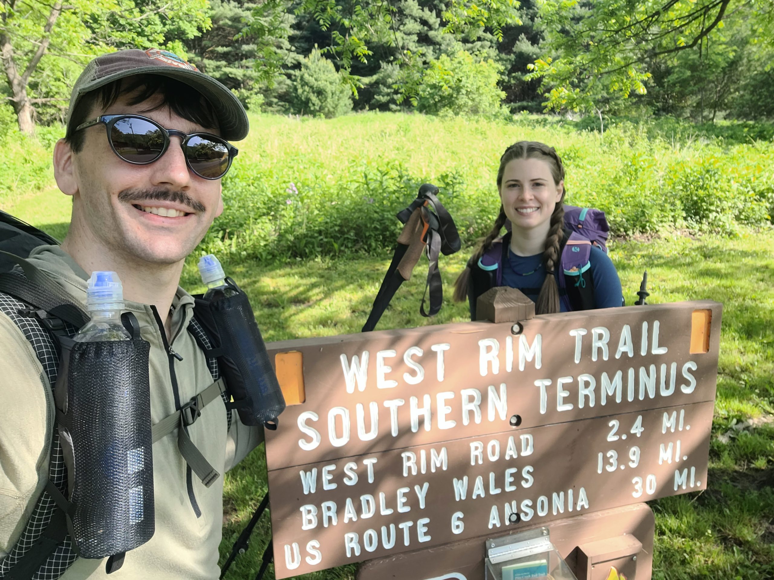
Amy and I made some coffee and ate a quick breakfast as we chatted with the bikepackers, then started back on the bike trail to Rattlesnake Rock at 8:30am. On trial was Starbucks Via instant coffee, and I will say the it may have become the standard for backpacking coffee options. We hit the trail just after 9:00am. The first two miles climbing out of the Pennsylvania Grand Canyon were a modest 1,000′ in elevation gain. From there, we traversed several miles of very generous terrain along a mostly flat ridge with few obstacles. Eventually, we came across a short stretch of overgrowth, complete with stinging nettle that tickled our ankles. Otherwise, the trail was well maintained. Every few miles, we were treated to a view of Pine Creek Gorge.
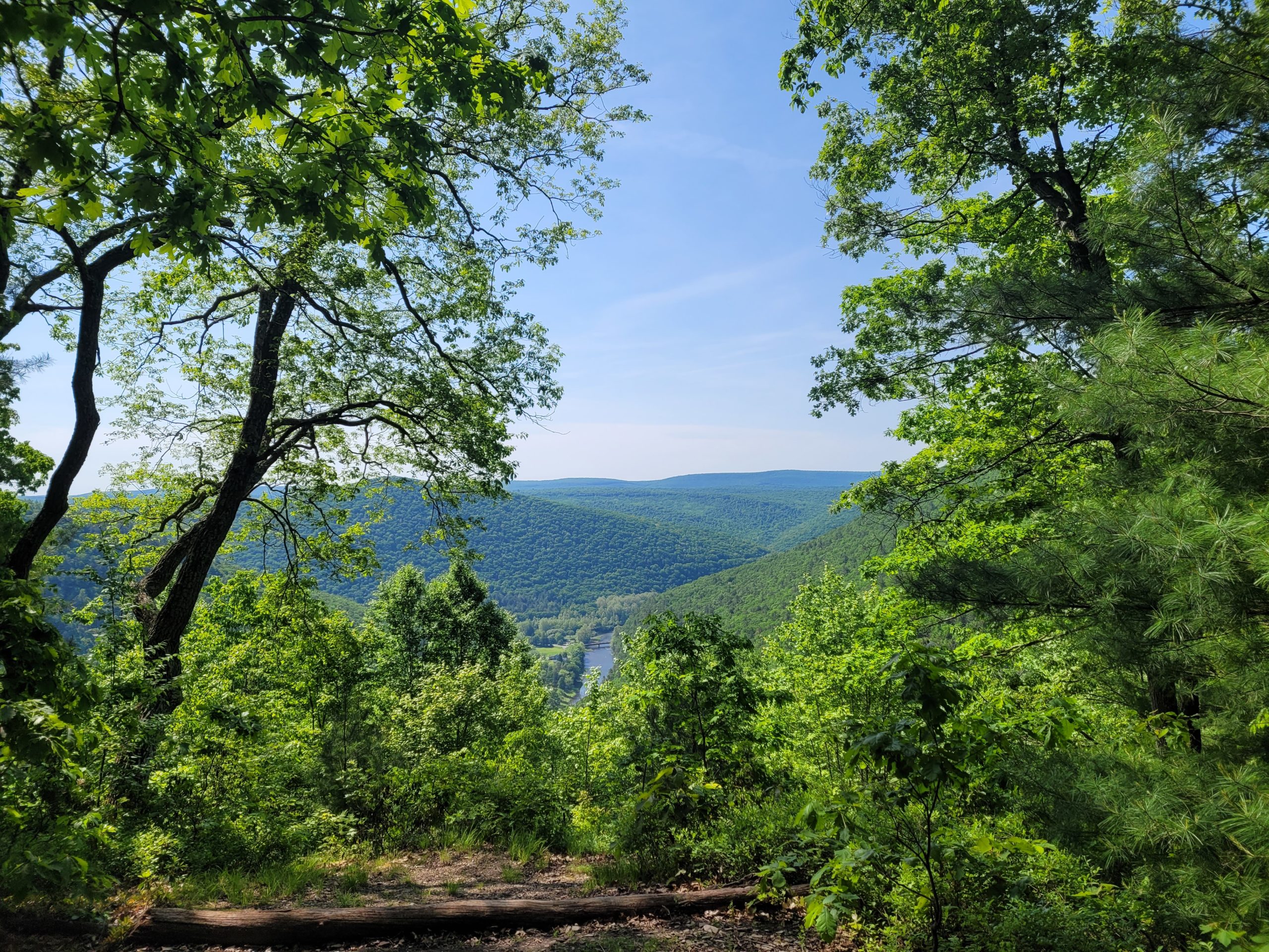
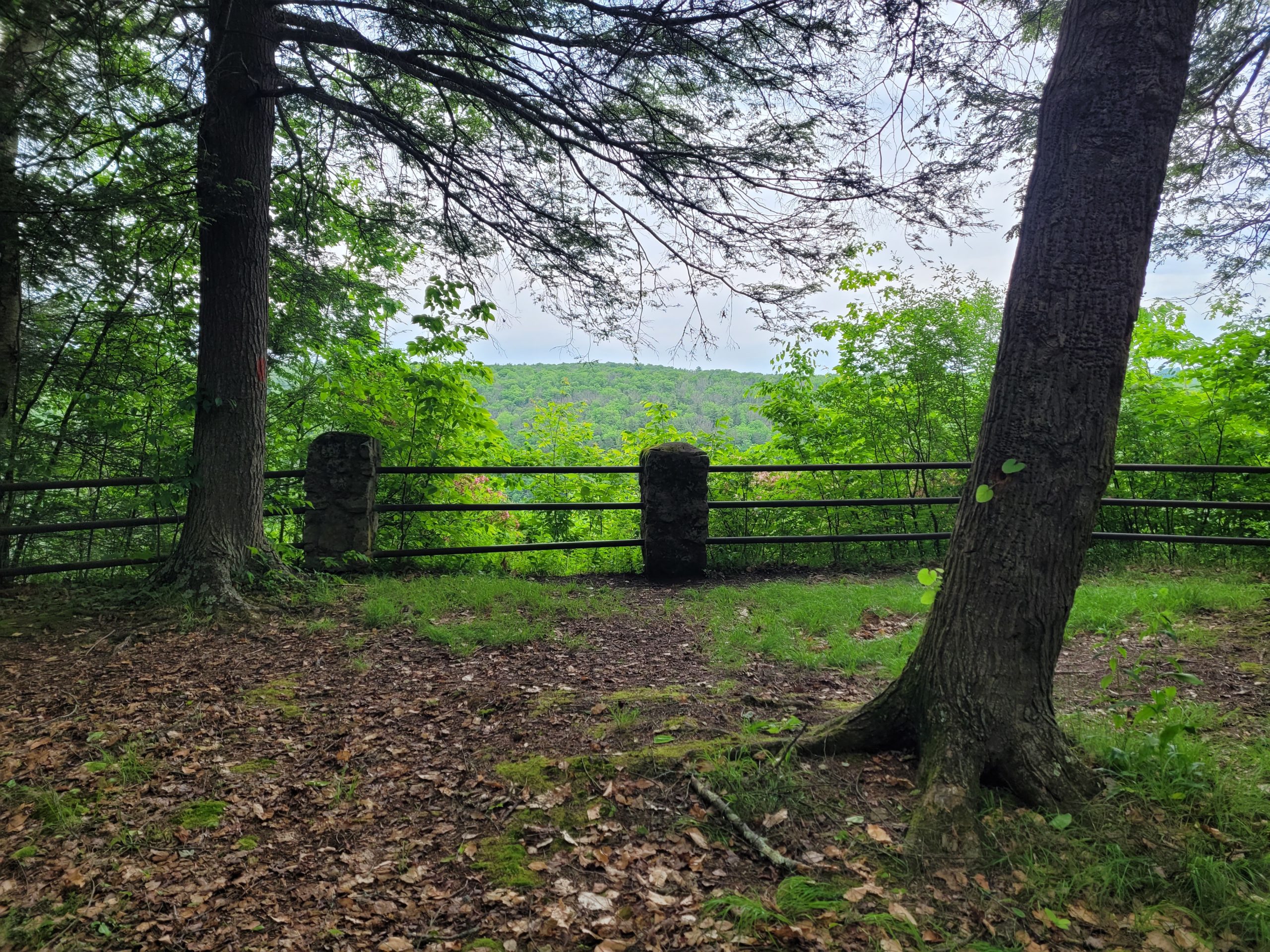
About 9 miles in, the trail intersected a gravel road and we followed it for about a half mile. Amy noticed a sharp pain in her foot that started rather abruptly. It slowed our pace a bit, but she toughed it out until we reached our campsite at about 3:30pm. A clearing had been made behind an iron fence with a partly obstructed view of the gorge below. We had just enough time to set up camp and cook dinner before a storm swept in and proceeded to dump a week’s worth of rain in a couple hours.
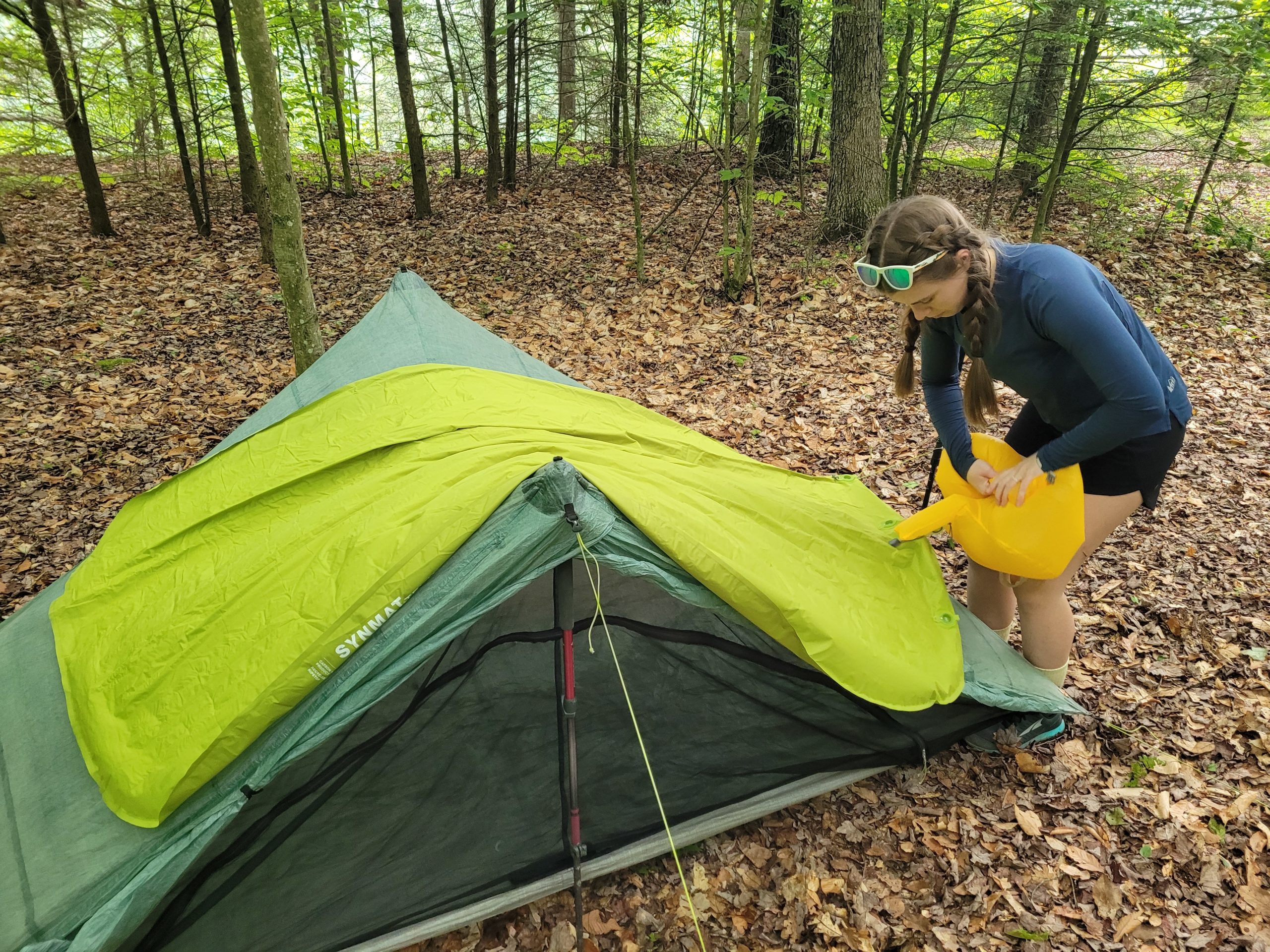
We hid inside our cozy tent, more than happy to wait it out on top of our new double wide sleeping pad: the Exped Synmat Duo 3R (which may win the award for my favorite piece of new gear this season). It was only 5:00pm though, and we still had hours of daylight left with little to do as the thunderstorm continued to threaten. How does one enjoy camping when it can so often lead to spending your Saturday night confined to a tent without even enough space to sit upright?
Personally, it’s that same unpredictability that I love. Sometimes, you catch the most unbelievable night of star-gazing, where you can pick out each individual planet among the faint band of the Milky Way. Other times, you get washed. But even when dealing with the latter, the rain may stop before dark, and you’ll watch the fog slowly roll in between the mountains as the sunset transforms the sky into watercolor. And everything in the forest seems to sit still, leaving only the sound of water dripping from the leaves to lull you into a deep sleep.
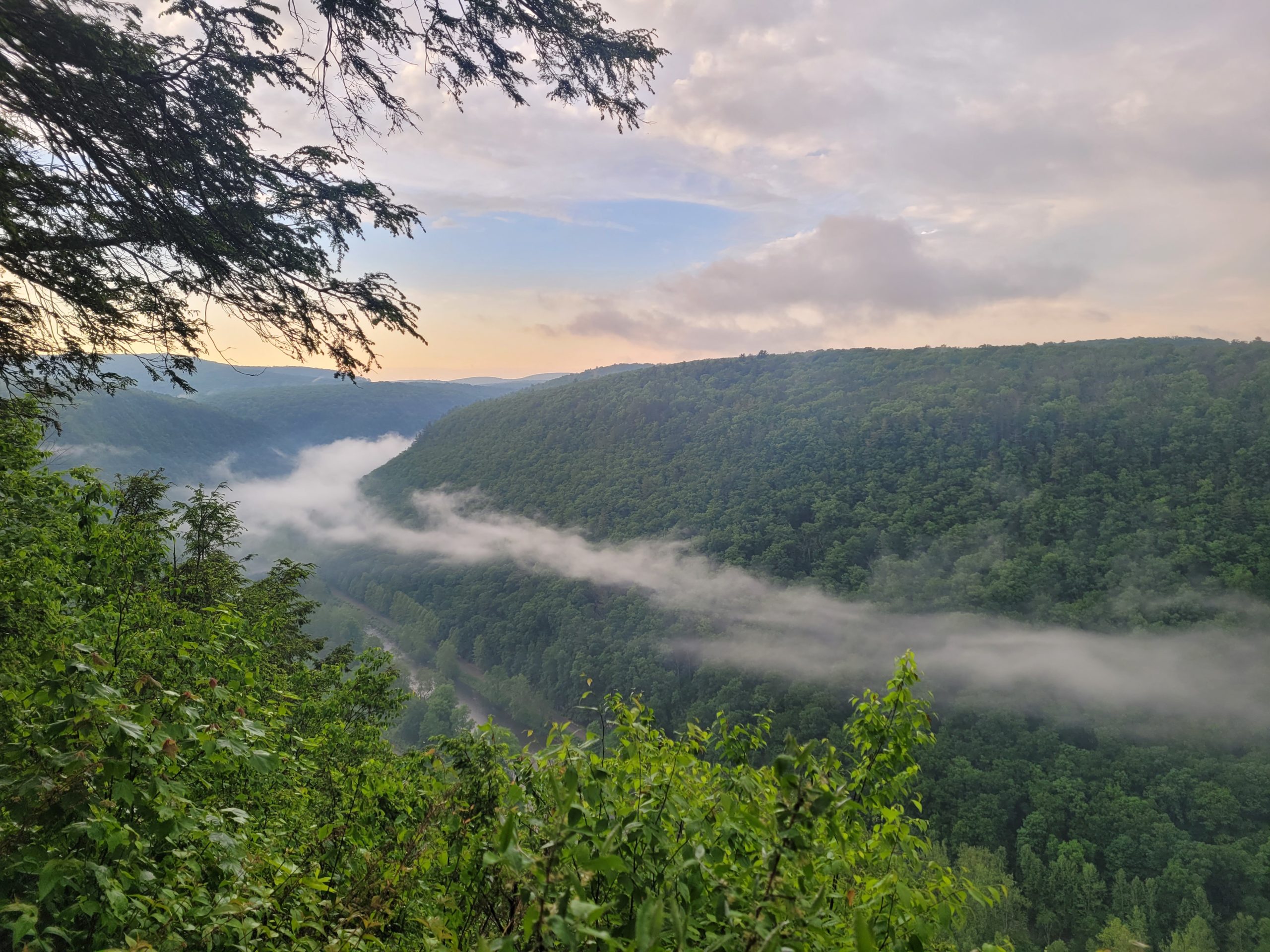
Fog rising in Pine Creek Gorge after the storm
Day 2
Unmarked Campsite to Colton Point Rd (Northern Terminus)
Distance: 16.2 miles
Elevation Gain: +2132′, -2613′
Despite falling asleep at the impossibly early hour of 9:00pm the previous night, we slept in until nearly 8:00am. Old habits die hard. We packed up and skipped the coffee, already looking forward to completing the trail and relaxing at the suite we had booked at Bear Mountain Lodge. As I’ve said before, backpacking and golf are unique in that the whole point is to do less of them.
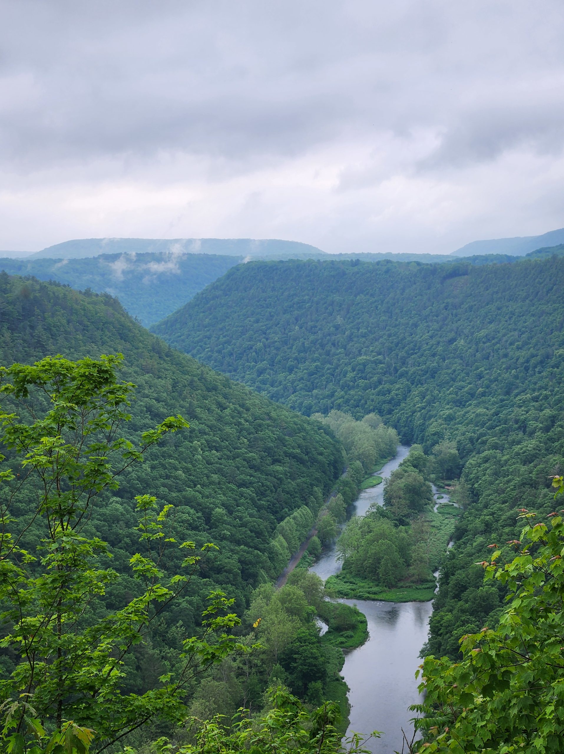
Unfortunately, Amy’s injury did not magically disappear overnight, as is sometimes the case with popup injuries. Her foot was red and swollen along the sides, which we later self-diagnosed as peroneal tendonapathy. Consequently, the miles today felt a bit slower and more tedious, but the scenery was prettier and the terrain more forgiving than the first day. We dipped into and out of several valleys, each typically showcasing a classic, mossy Pennsylvanian creek trickling down the hillside. The water along the trail was regular, clear, and delicious everywhere we filled up.
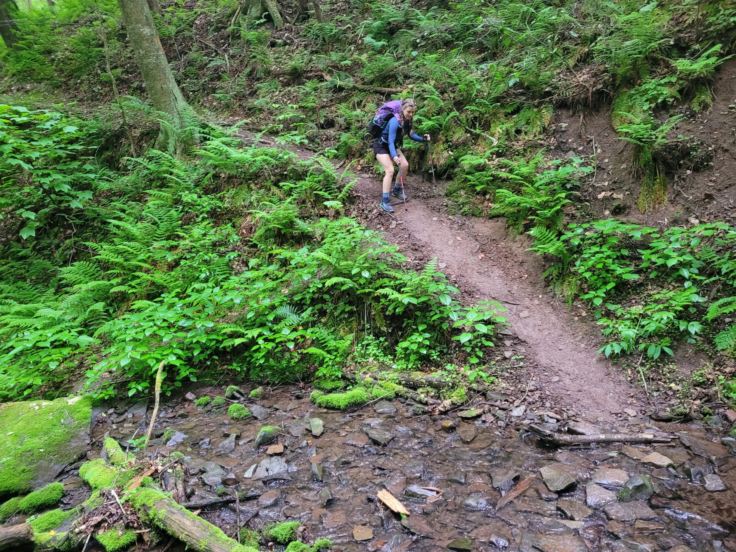
After about 5 miles, we entered Colton Point State Park. The sun was high in the sky with temperatures into the low 80s, plus humidity. Memorial Day always feels symbolic to me as the start of summer, even if the true start is still a full month away. We only passed a handful of other hikers all weekend and had most of today entirely to ourselves. Once we passed the intersection with Siemens Trail, the main trail climbed up the gorge and made a two mile loop around Four Mile Run. After plenty of trail and another brief road walk or two, we returned to the familiar rim of the gorge.
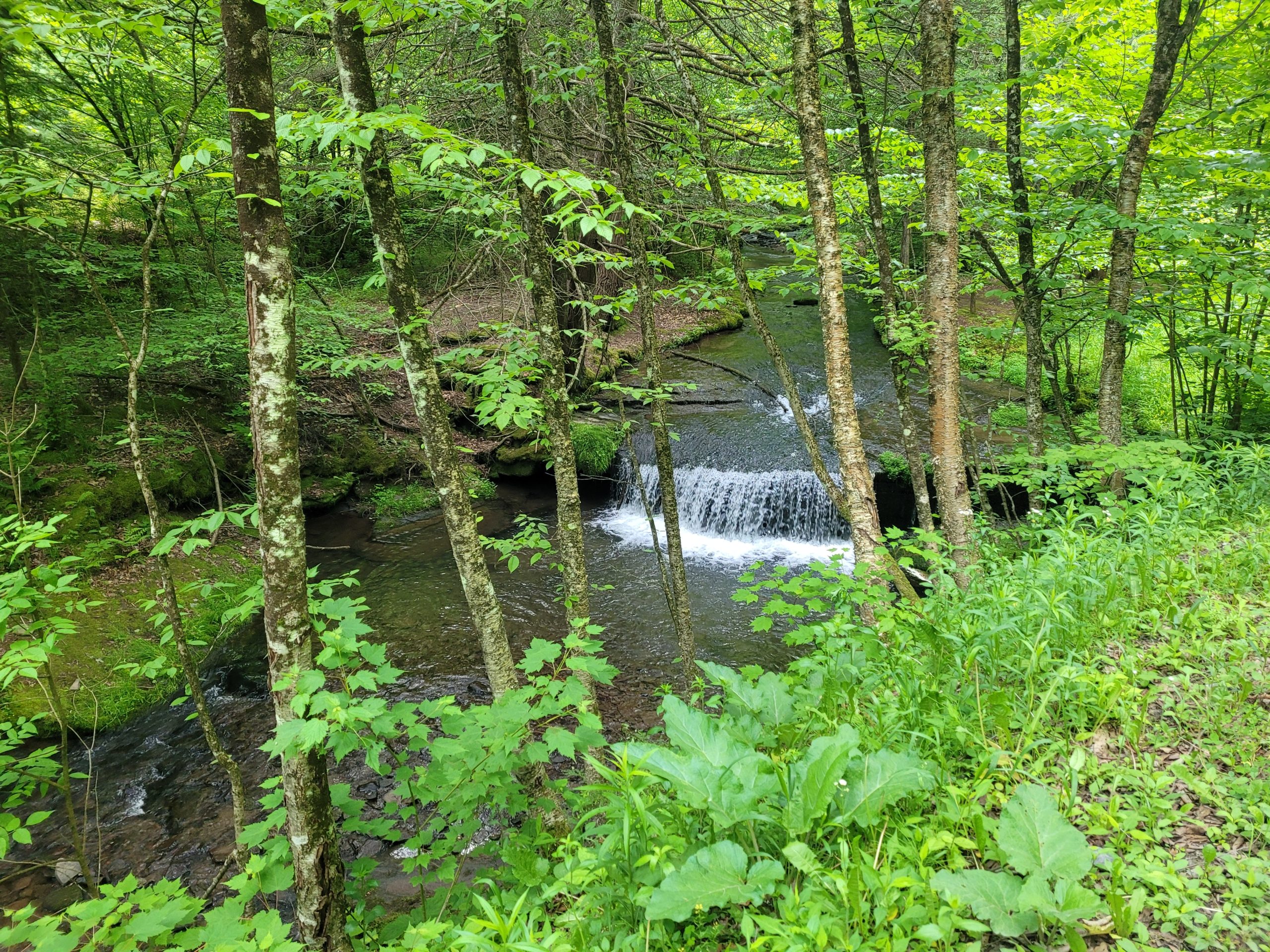
From here, we caught the best glimpse of Pine Creek of the entire trail. The spot is a popular overlook 2,000′ up, about two miles from the northern terminus of the trail, near a parking lot, and is one of the best views in the state of Pennsylvania. The best angle can be seen from a moderately sketchy rock outcropping fifty yards south of the viewing platform. We came upon it, along with a father trying to coral his three young boys from exploring the cliff. After he denied their screaming pleads, the youngest boy shouted “I hate hiking!” I felt bad, but can confirm I shared that same feeling dozens of times while hiking the AT.
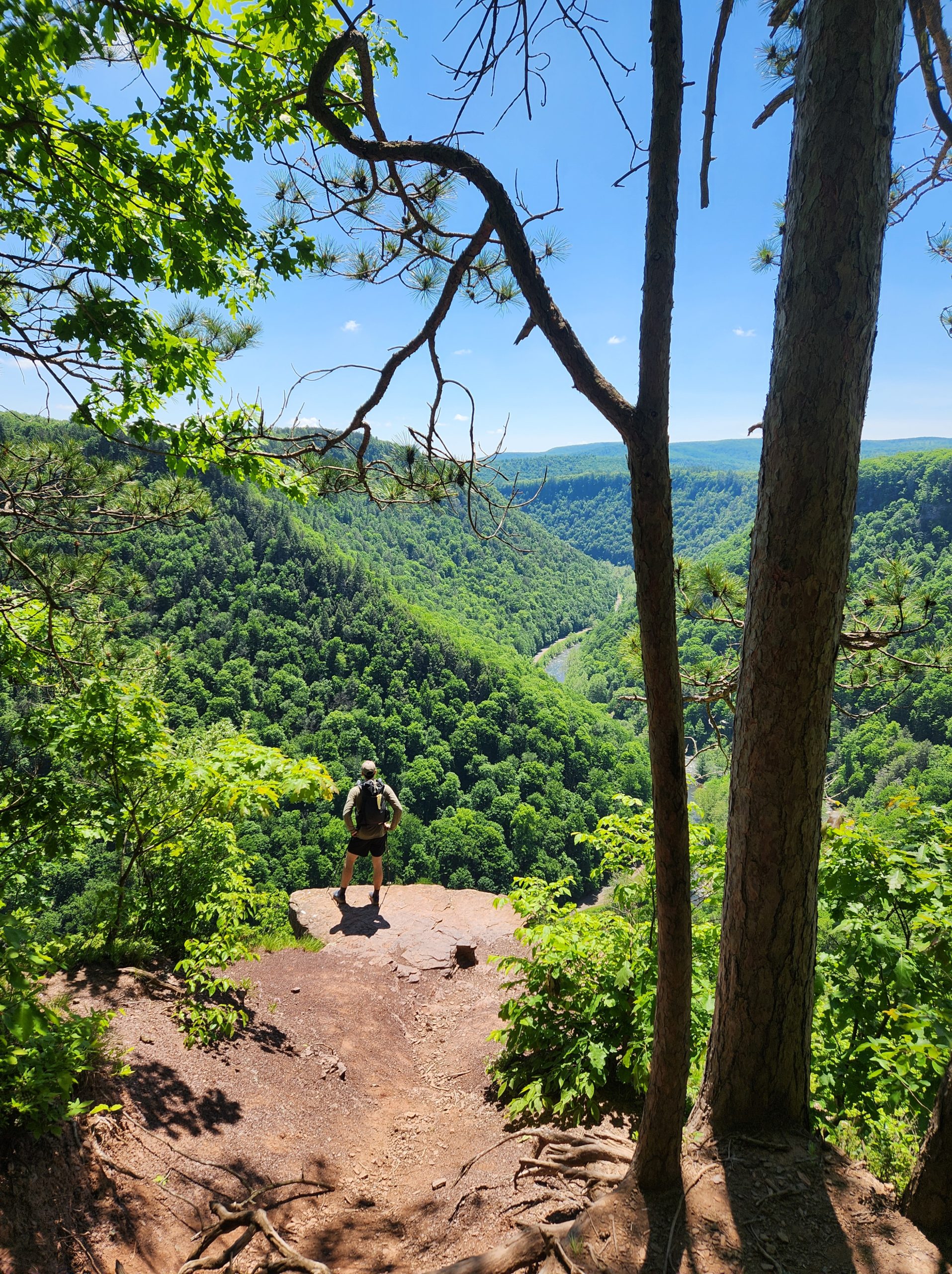
We left the overlook sometime around 2:00pm with only a few miles of trail remaining. We did not take many breaks today despite Amy’s injury. One reason we went on this hike was to train for our upcoming attempt of the 37-mile Rachel Carson Trail next month. I’ve been geeking out over pace stats more than ever with my new Garmin watch to track my activities in meticulous detail. With all gas and no brakes, we continued cruising downhill towards the finish line.
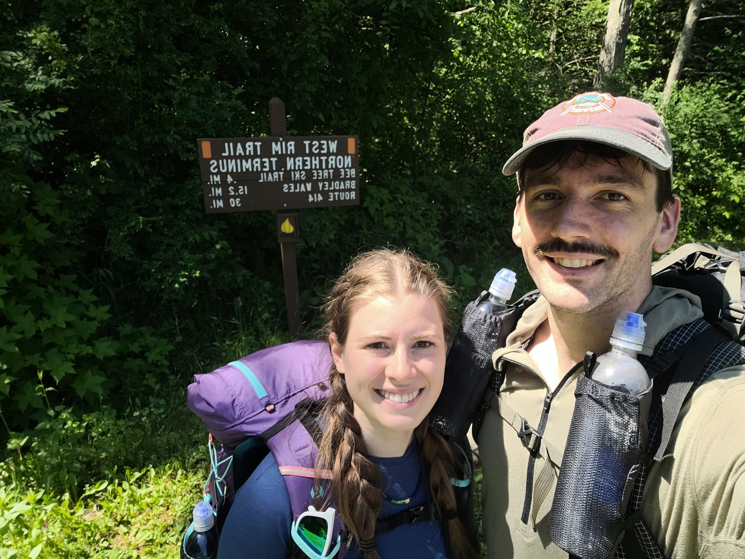
Before long, we descended from the ridge to the parking lot at the northern terminus of the trail. Sure enough, our car was sitting there waiting for us, courtesy of Pine Creek Outfitters valeting it from the southern terminus. We drove to Bear Mountain Lodge to shower up, pulled out a tick from my foot, then drove to Wellsboro in eager search of food and beer.


