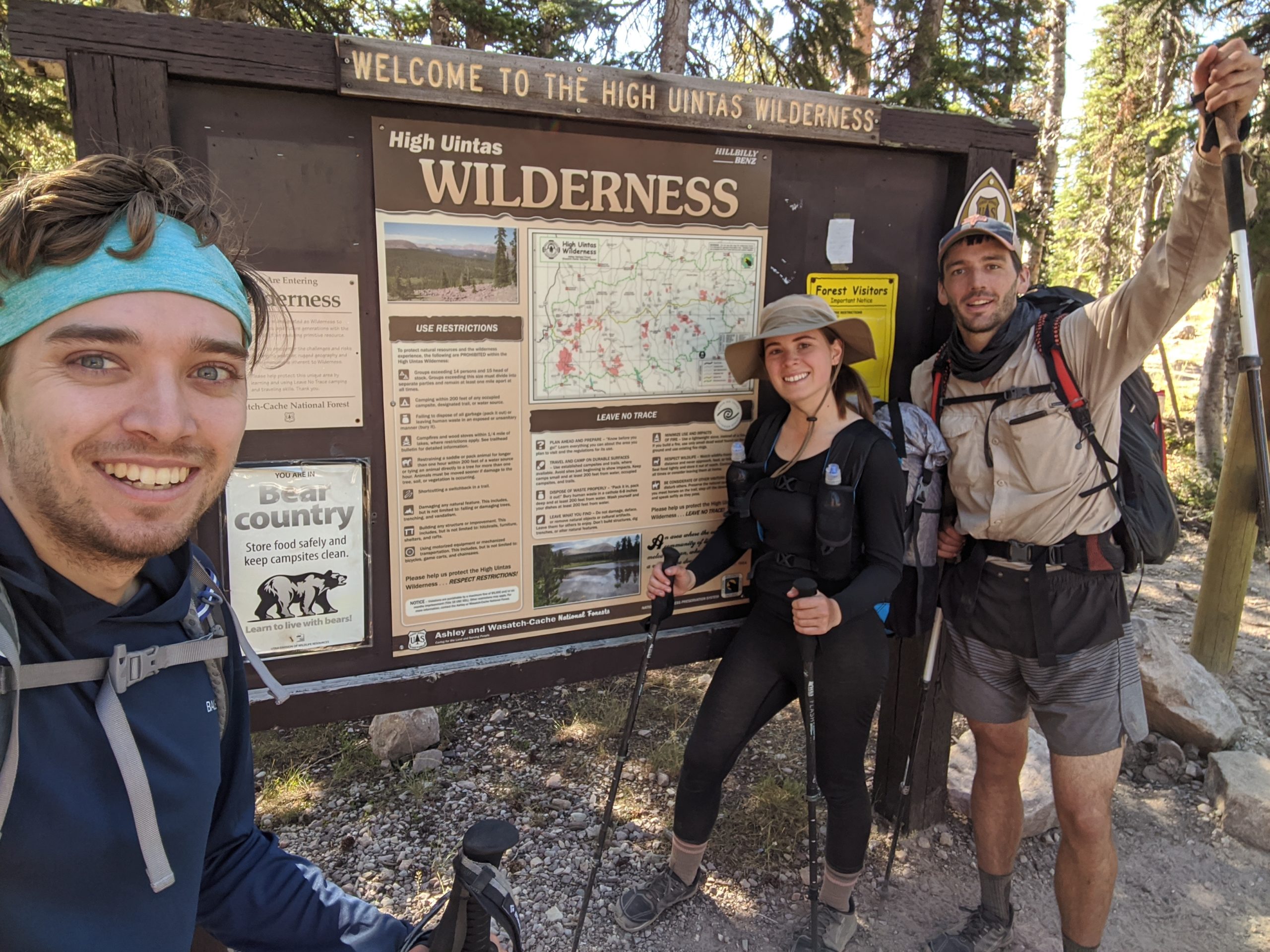
In August of 2020, after sacrificing the better part of the summer to social distancing and fighting off mind-numbing boredom from the pandemic, Amy, Tim, and I were ready to go on a hike. After watching some of our favorite YouTubers, Darwin and Jupiter, both hike the Uinta Highline Trail, we decided it would be the perfect backpacking trip to blow the vacation days we had accumulated over the previous months.
Where: The Uinta Highline Trail (UHT) runs through the Ashley and Uinta-Wasatch-Cache National Forests of northeast Utah.
When: August 7th, 2020 – August 14th, 2020
Distance: 103.2 miles, end-to-end
Conditions: Low 50s to mid 80s, no rain
Route: https://caltopo.com/m/K36MB
Gear: https://lighterpack.com/r/50hxyw
Pictures: https://photos.app.goo.gl/VFa9zbXD3J8Bzfc38
Useful Pre-Trip Information
Overview
The Uinta Highline Trail is a 104 mile trek along the Uinta Mountains of Utah, a few hours East of Salt Lake City. Many people recognize Utah for its beautiful National Parks but few are aware of this outstanding mountains range that uniquely faces east to west in the northeast corner of the Beehive State. The trail aptly follows a portion of the highline of the Uinta Mountains and 2/3 of it is within the boundaries of the High Uintas Wilderness. The eastern terminus is McKee Draw. From there, the trail heads west over eight named passes that exceed 11,200′ and finishes at the western terminus, Hayden Pass.
Permits
There are no permits needed to hike or backcountry camp along the entire length of the UHT.
Water
The eastern section of the trail has limited water. Specifically from East Park Reservoir to Leady Peak, there were very few places to fill up. Many of the water sources are in the middle of cow pastures so a filter is essential. Heading west from Leady Peak there are an abundance of alpine lakes and occasional streams that are good for filtering.
Transportation
The logistics for this hike were difficult, to say the least. We flew into Salt Lake City from Pittsburgh after work on August 6th. We paid a renter from Turo to leave a Buick Encore waiting for us at the airport that we used to drive to our hotel. We rented the car so we would have a place to store our non-hiking related luggage, such as clean clothes and a duffel bag for travel, as well as give us transportation to Hayden Pass where we would finish our hike. From there, we arranged a shuttle to pick us up at 9:00am and transport us to McKee Draw. Then we would spend the week hiking back towards our car. On paper, it looked like a decent plan, doesn’t it always?
We were to eat breakfast, pack up our things, and leave the hotel at 7:00am (allotting an extra thirty minutes as a buffer). What we did not account for was a wildfire causing local authorities to close off the entrance ramp to I-80 minutes before we arrived. Neither Google Maps nor Waze offered alternative routes to the trailhead, so we were left scrambling trying to find another way around. After frantically circling the outskirts of Salt Lake City for nearly thirty minutes we managed to get far enough south that Google finally plopped us on a different route, a cutoff starting on route 190 only forty-five minutes longer than we originally planned. In total, we were now on track to arrive over an hour after we had scheduled our pickup. Oh, did I mention that we were unable to contact our shuttle driver because the trailhead had no cell service? This made for a particularly tense ride, as the very real possibility that the shuttle would not be there stewed in the back of our minds for the extended journey.
Fortunately, our shuttle driver Amanda from Mountain Trails Transport was a godsend. She was still waiting for us on arrival and was completely understanding of our predicament. We left our car locked at Hayden Pass and hopped in her van to make our way east to the start of the trail, another three hour drive that felt much more relaxed and enjoyable thanks to her interesting conversation and knowledge of the area. She even stopped at an outdoors store so I could pick up sunglasses (which I foolishly forgot to pack) and later at Wendy’s for us to fuel up before we hit the trail.
Day 1
McKee Draw to East Park Reservoir
Distance: 6.5 miles
Elevation Gain: 1,584′
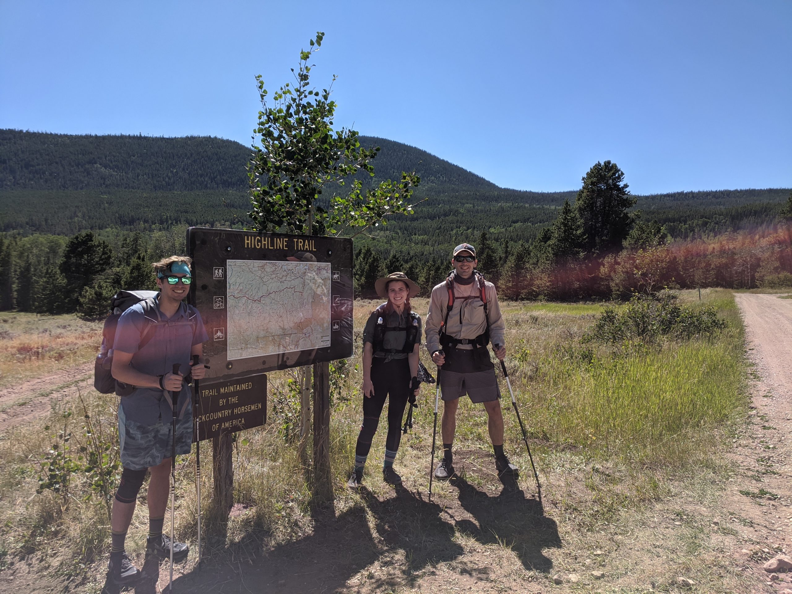
We reached the trailhead sometime around 3:00pm and set off through grass fields and dense patches of fir for the first handful of miles. We were “warned” that the first ~20 miles of this trail were largely uneventful and some hikers choose to start at Leidy Peak instead. Looking back, I am glad we started at the true beginning. Partly because it allowed the scenery to gradually ramp up in mystique but also because the first miles were an excellent warm-up, following mostly flat terrain, but also because it had some surprises in store. We planned to hike roughly five miles to the East Park Reservoir and set up camp. About three miles in we came across our first animal sighting in a shallow section of forest: a one-ton bull that stood directly on the trail ahead. We quickly noticed there were dozens of other cows scattered around, clearly tagged as free-range cattle who had wandered deep into the trees. I’d be lying if I said there wasn’t some hesitancy to proceed past the massive animal that blocked our path like Asterius guarding the exit of Hades. So rather than disturb him, we gingerly bushwhacked around the bovine commune and pressed onward.
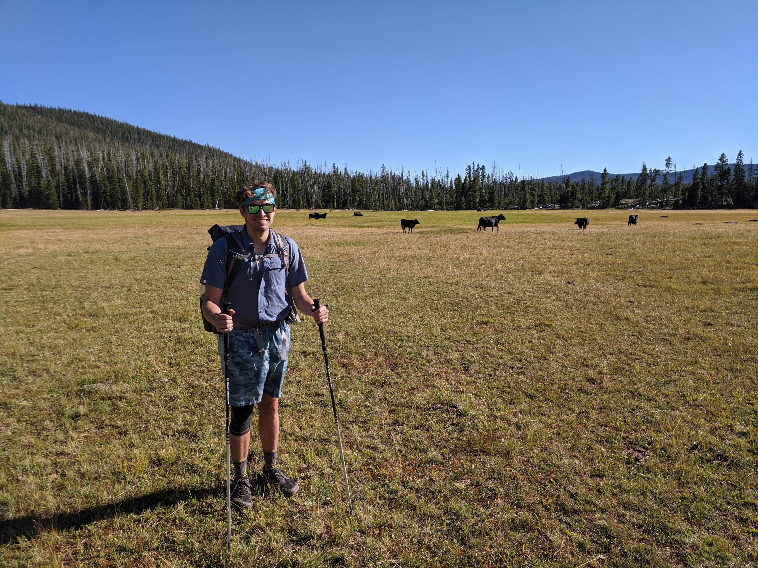
East Park Reservoir was an expansive pasture with trickling streams, overlooking rolling, green mountains in the distance. We had little desire to pitch camp over cow patties so we decided to continue for another mile or so in search of a better site. The marking of the trail in this section was almost entirely dependent on cairns and intuition. We lost the trail at one point climbing up a gentle hill out of the pasture but managed to scramble back to the footpath and eventually set up camp at the top of the hill near a service road. Despite our hectic travels to reach the trail, our first day of five miles was a breath of fresh air.
Day 2
East Park Reservoir to a marsh near Summit Park
Distance: 15.2 miles
Elevation Gain: 2,266′
We woke up bright eyed and bushy tailed on our first morning in the Uintas. We planned to hike a whopping seventeen miles to reach the outskirts of Leady Peak for us to tackle the following day. The first few miles were familiar, mostly rolling hills, sparse pine forests, and exposed pastures, though it soon became clear we were getting deeper into the heart of the mountains. The August sun was beating down on us on every section that left the cover of trees and we noticed there were concerningly few water sources. We topped off our water bottles after we started that morning and had planned for at least an eight mile dry stretch. The trail took us up a loose, gravel hill that was comically steep. Looking out to the Northeast, we saw the Flaming Gorge on the UT-WY border in the most splendid overlook of the trail thus far.
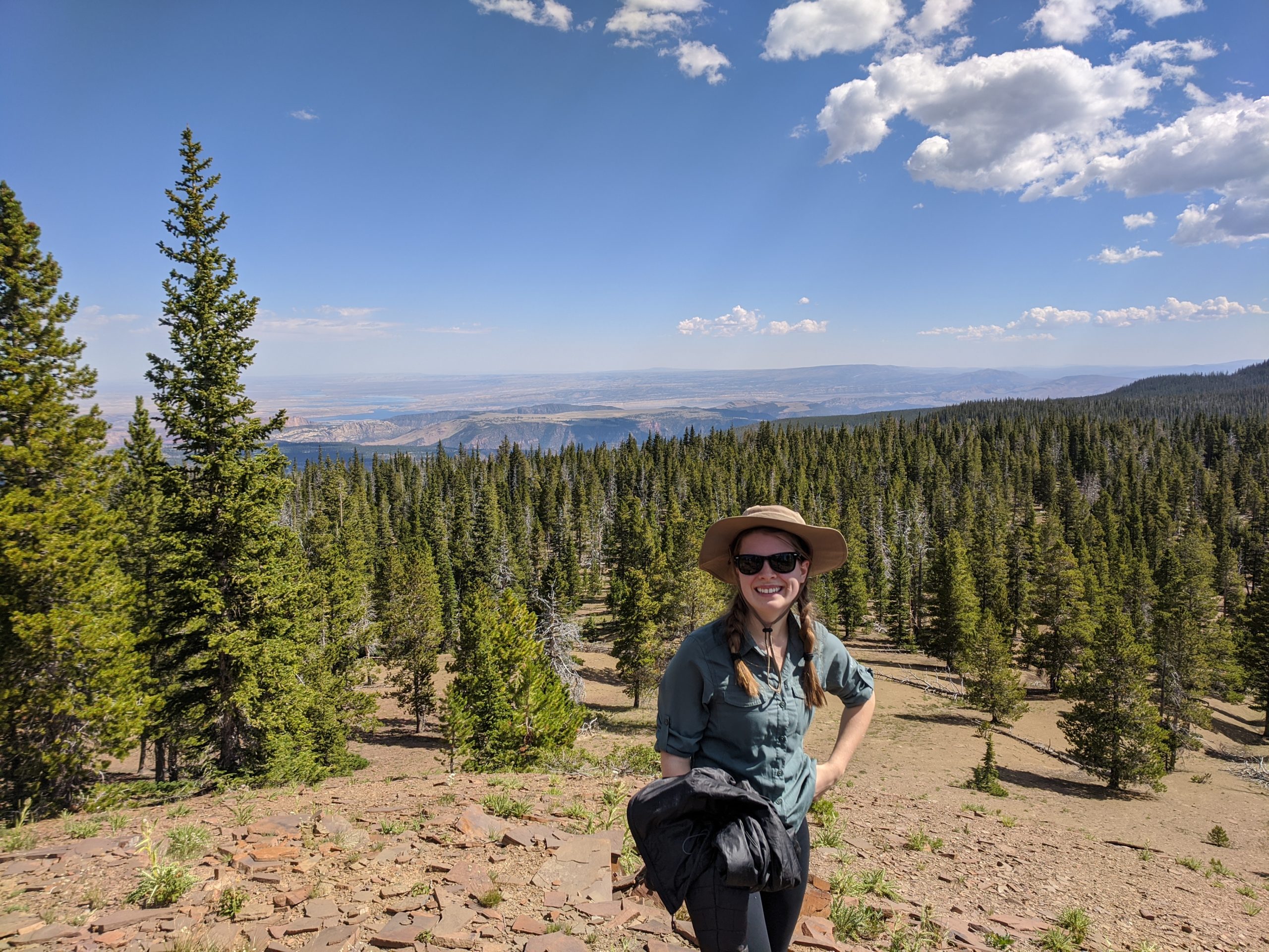
We passed a woman hiking solo, who appeared exhausted and asked us if we knew of any nearby water sources. We told her “no” but offered at least half a liter of our collective, diminishing supply and she graciously accepted. We took a short break on top of the hill and continued forward. At this point, we had hiked close to ten miles and it would be another four before we were essentially out of water and had still yet to cross a single water source. Our dehydration was exasperated by low-grade altitude sickness that made our heads throb as we trudged along the beautiful hillsides of the Eastern range. The mileage was relentless. We knew there was a guaranteed water source near Long Park Reservoir but that was nearly two hours of hiking away. As we neared Trout Creek Peak (don’t let the name fool you, there’s no creek) Tim decided to press on ahead at a faster pace to find water.
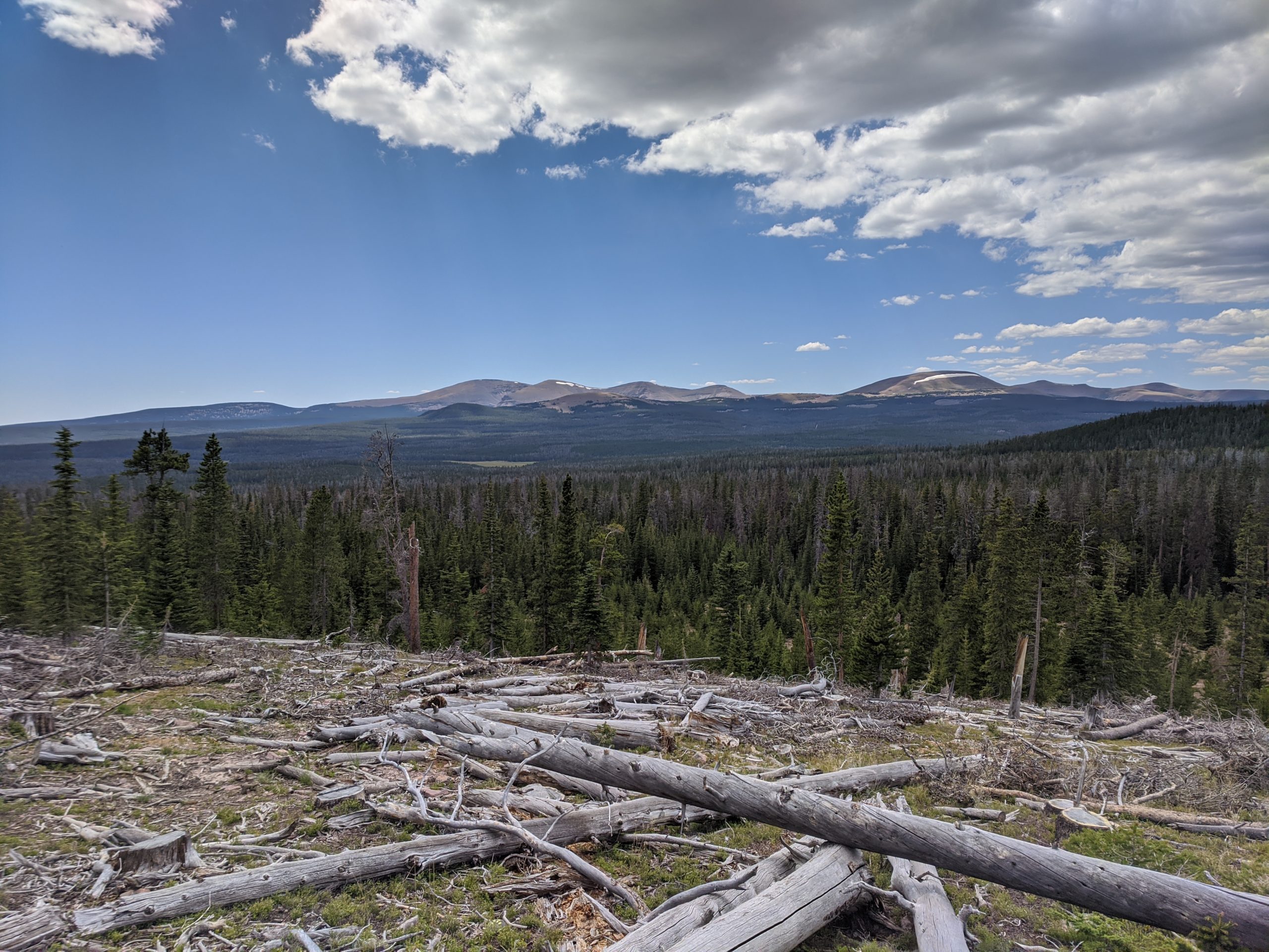
About two miles later, we entered another cow pasture that had a slow, flowing creek running through it. Nothing like the tang of cow manure to quench an oppressive thirst. We took a long break to rehydrate and rest, knowing we wanted to knock out a few more miles and preferably find a better campsite with water that didn’t take like literal shit. Unfortunately, the camping in this area was also not very good, we hiked another two miles and entered an area with boggy marsh on either side of the trail. After some debate, we decided to pitch our tents in a clearing that was marginally less swampy than the other options, ate a cold dinner, then retired to bed early to quell our headaches. We hiked fifteen miles total and had little to no water for over half of that. Needless to say, we slept well that night.
Day 3
Marsh near Summit Park to Chepeta Lake
Distance: 16.1 miles
Elevation Gain: 2,816
After a day and a half on the trail, we were still yet to come across the “real” mountains. By that I mean we were just barely at 10,000′ at our campsite in the marsh, but that was soon to change as our hike was headed straight uphill. About a half mile in we came across a beautiful, fast-flowing stream with greenery and plants exploding about, a true oasis. There were multiple groups of hikers camped alongside, including two middle-aged women packing heat on their belts that they claimed was for mountain lion protection. We aptly referred to them as the “Gunslingers” from that point on.
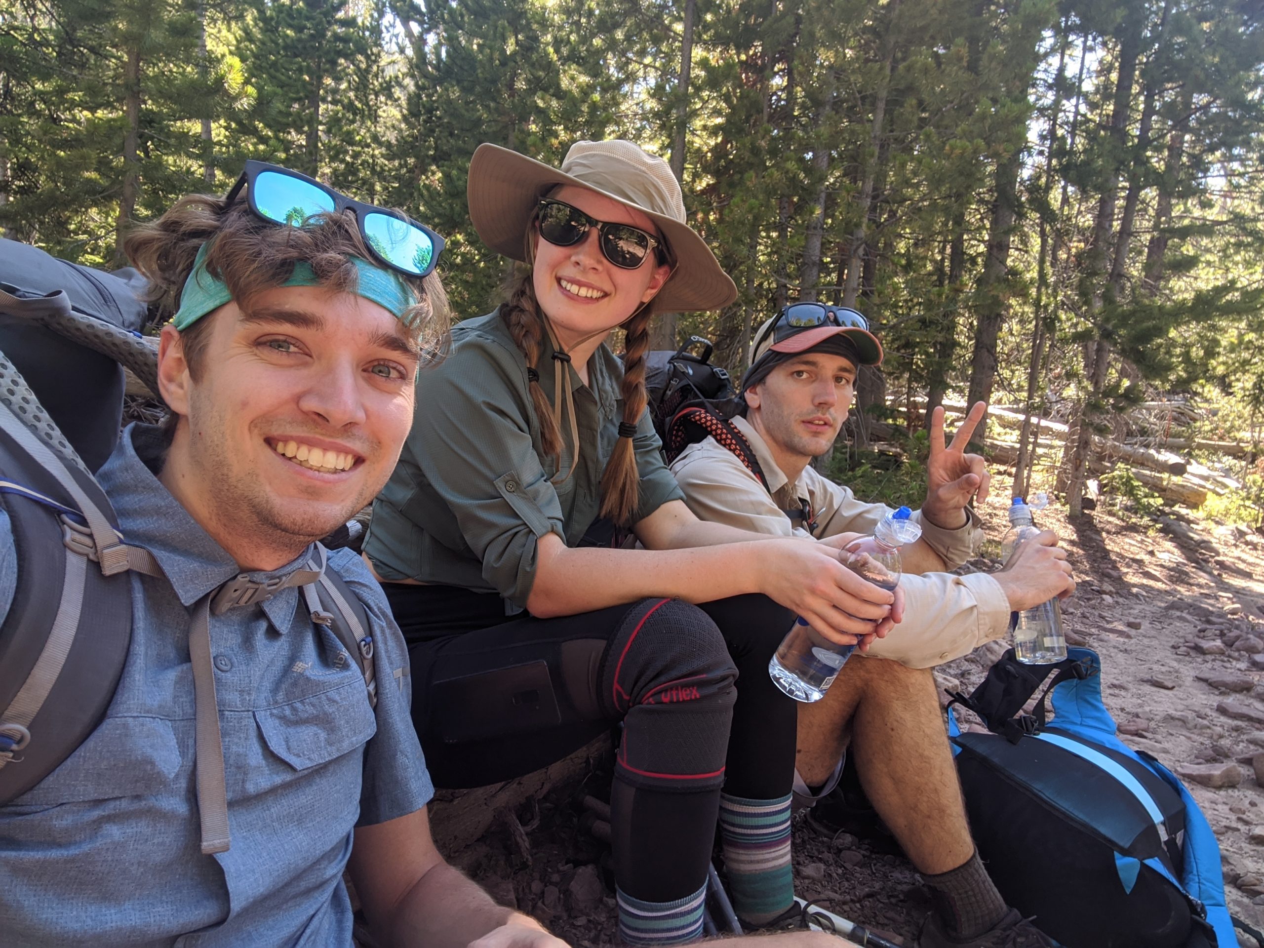
The scenery made an epic transformation as we made our way to the base of Leidy Peak. Forested hills gave way to expansive mountains with bald, snow-covered summits. The trail forked around either side of the mountain, some other hikers told us that the northern route was shorter but generally more sketchy so we decided to follow the much more defined southern trail. Somehow, we still managed to wonder off trail and found ourselves doubling back through a thick bog that soaked our shoes. It felt like we were entering a different world as we climbed out of the basin. We passed a huge patch of snow and filled up our bottles with fresh, unfiltered snow melt (Utah’s very best!) and had a brief snowball fight before continuing our ascent. The climb was no joke, we were barreled with wind gusts and found ourselves taking frequent breaks in the tall grass, taking in the gorgeous views that we chased for miles.
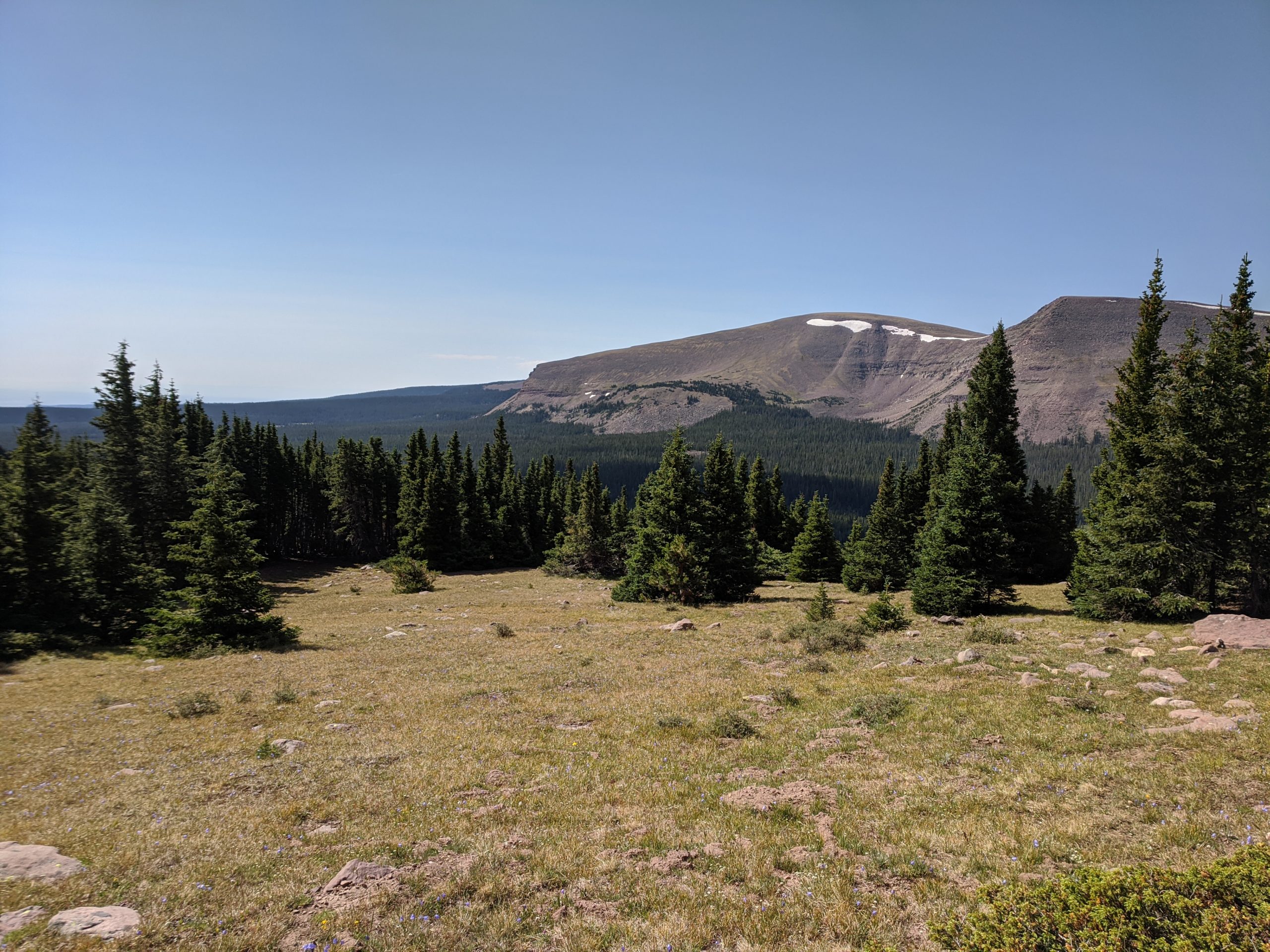
After skirting Leady Peak, the trail made a short descent to Lake Wilde and we came upon Gabbro Pass covered in ice and large rocks up a steep cliff. We carefully followed the beaten snow path as we played leap-frog with a few other groups that had fallen into stride with us. Once at the top, we continued on the open ridge and saw Deadman Lake in the distance at the bottom of the ridge. Our options were to descend to the lake and immediately climb 500′ right back out or follow a lightly tread grass path around the ridge. We chose the latter, for better or worse. It certainly added some mileage to the route and the section before it connected back to the main trail was littered with huge boulders that were difficult to negotiate. We finally reconvened with the highline trail and prepared for the final five miles of the day.
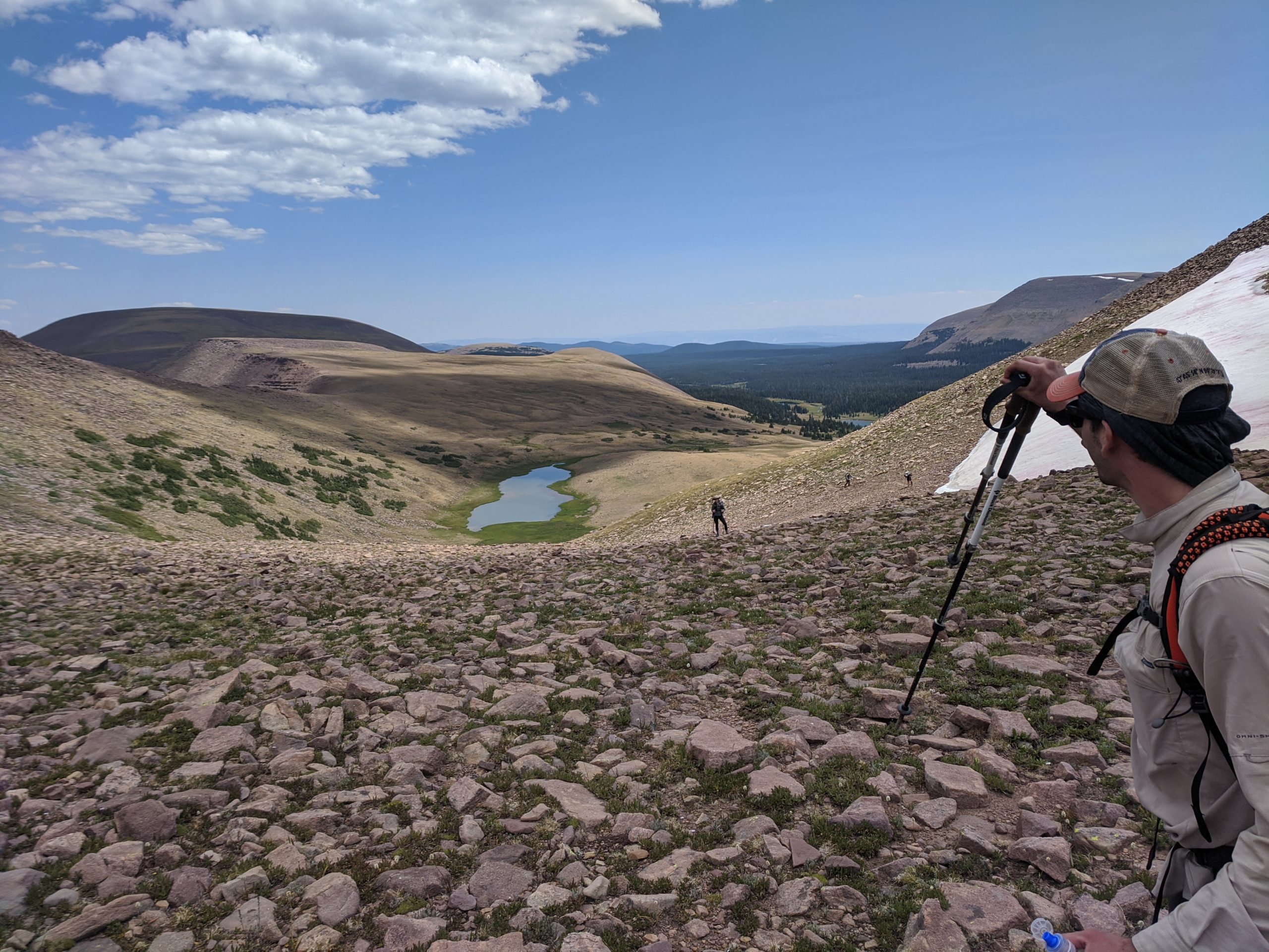
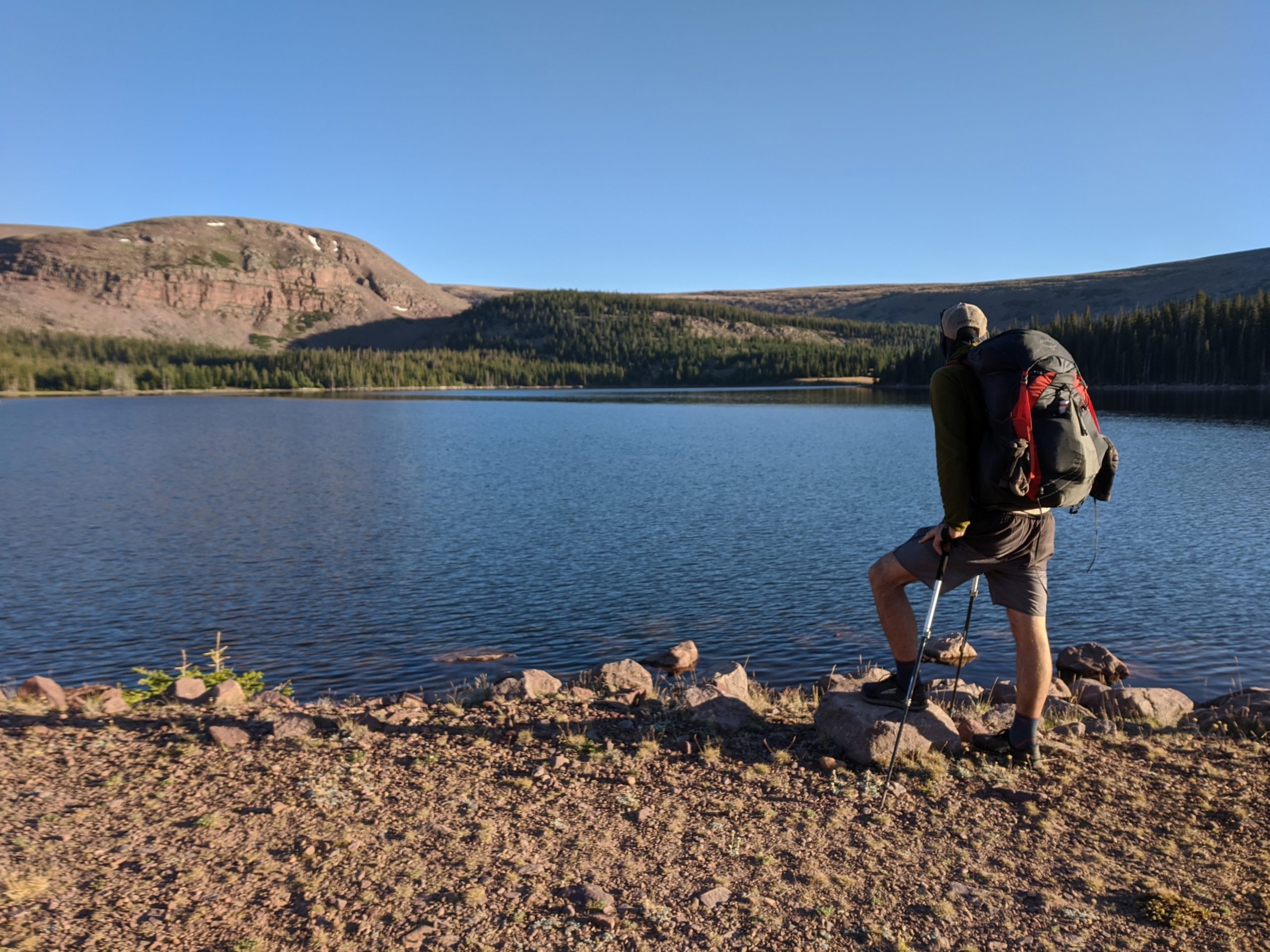
After descending the ridge opposite of Deadman Lake, we passed by Whiterocks Lake and enjoyed mostly flat, marshy terrain to remedy our aching feet. As we neared Chepeta Lake, we came across some day hikers, which meant there were was a parking lot nearby. We had cell service and received a text from Amanda saying she cached some treats in a pine tree just after the road intersection! It was a great surprise to have cold bottles of Gatorade waiting for us as we finally arrived to Chepeta Lake. The lake sat at the bottom of a few small mountains, with a sort of causeway elevated along the southern edge following the trail. We picked a modest campsite in the grass and sipped our drinks as the sun set and the stars lit up the night sky, satisfied with completing another sixteen miles.
Day 4
Chepeta Lake to Kidney Lakes
Distance: 14.1 miles
Elevation Gain: 2,335′
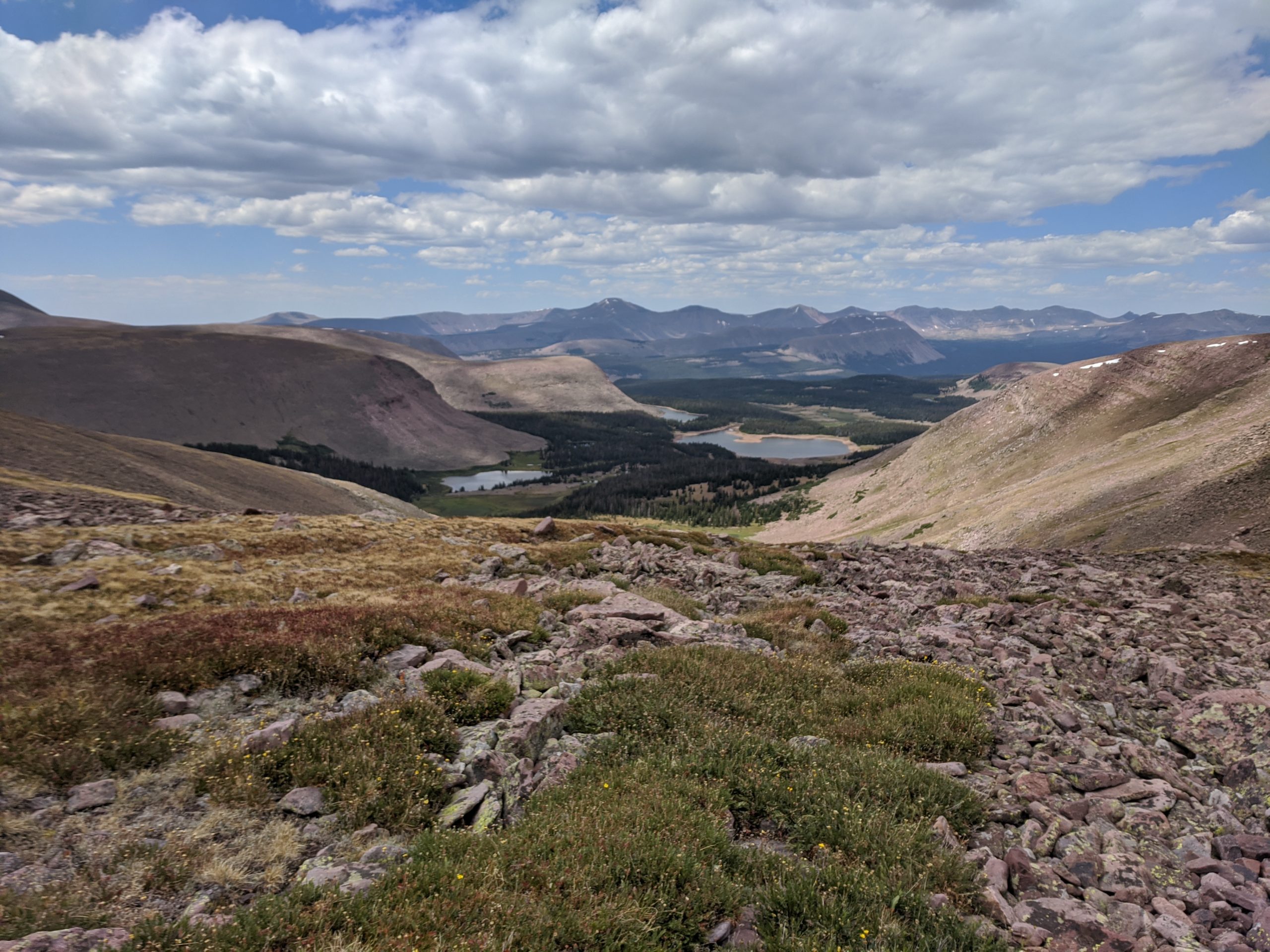
The only major pass today was North Pole Pass, roughly four miles after departing Chepeta Lake. This was an epic and daunting section of the trail. The footpath dissolved as we approached the pass, turning into a choose-your-own-trail slugfest up a mountain side covered in sharp rocks. After scrambling to the top of the first false summit, we realized that we had only just begun our ascent and had likely gone the wrong way up, as other hikers were popping up from a trail to the left of us that looked much more forgiving. Fortunately, the remainder of the climb had well-groomed switchbacks that paced our steps perfectly and we conquered the pass in no time. This was one of the most incredible sections of trail I have ever hiked.
A short while after our descent, unfortunately, the high altitude began taking a toll on Amy. While Tim and I had mostly overcome any lingering symptoms, Amy was experiencing nausea and worsening headaches from the elevation that was only going to climb as we approached the highest mountain peak in Utah. We could do little but encourage Amy to keep her fluids up and take an extended lunch break. We hiked a few more miles to Fox Lake and eventually passed a group of hikers that offered Amy some “altitude sickness pills”. Remember kids, never accept drugs from strangers. It turned out the pill was to help with diarrhea and works by further dehydrating the body to prevent excessive fluids. Considering Amy’s altitude sickness was likely an extension of dehydration, things made a turn for the worse.
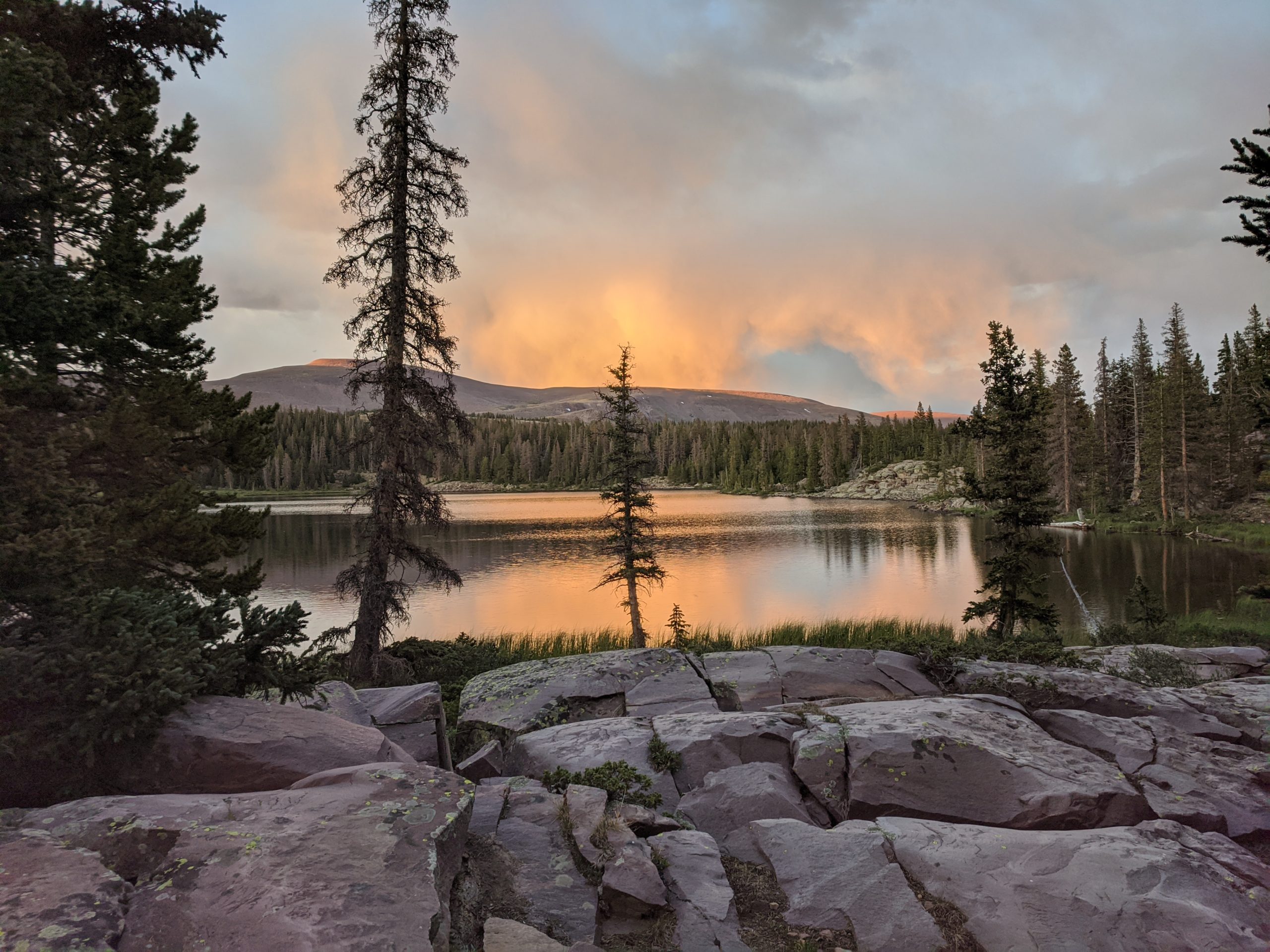
We had roughly four more miles to reach our selected campsite at Kidney Lakes and our pace reduced significantly. There was a gradual, but substantial climb to where the lakes lay that seemed more difficult than the 1500′ climb we made earlier in the day. We finally arrived and picked a nice spot next to the closer of the two lakes. After setting up camp, Amy isolated in the tent while Tim and I hung out on the rocky shore. We began to discuss the frightening possibility of Amy needing medical attention. We had no cell reception and were fifteen miles plus a massive climb away from the nearest road, where we had just left that same morning, Chepeta Lake. If Amy was unable to hike, there was very little we could do. We built a fire and made regular checkups on her as she recovered in the tent, praying for everyone’s sake that we could continue onward tomorrow.
Day 5
Kidney Lakes to Tungsten Pass
Distance: 14.9 miles
Elevation Gain: 2,932′
Amy felt good enough in the morning to hike and we were lucky to begin with a mile of gentle, downhill. However, our route today traversed over Anderson Pass, the highest point of the trail at 12,500′, only a short climb from the legendary King’s Peak, the highest point in the state standing at 13,500′. We crossed Gilbert Creek and climbed a few miles to Milk Lake which opened up to an astounding panoramic view of red, rounded mountains in all directions: Painter’s Basin. This quintessential Utah wilderness is covered in lush grasses and small patches of spruce, with springs abounding from the snow melt. The trail followed through the canvas landscape for several miles with King’s Peak looming ahead in the distance.
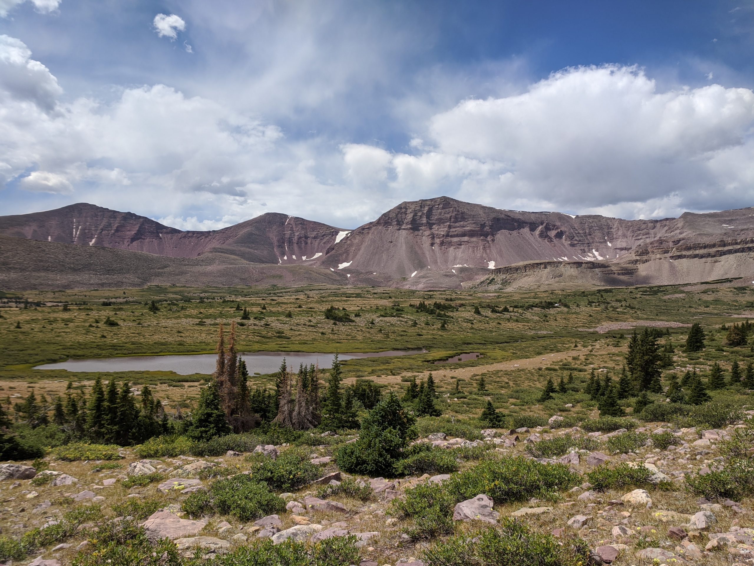
King’s Peak is large enough to influence weather patterns. As we climbed farther out of the basin, ominous, dark clouds began forming around the summit. According to other hikers we passed, this was normal and whether the clouds would turn into a lightening storm or remain passive was a toss up. We decided to risk our chances sending the pass as quickly as possible. The 1600′ climb started as soon as we entered Painter’s Basin and continued for five miles spread out over distinct sections that grew increasingly steeper. The final 800 feet were more difficult than any of the passes we had traversed up to this point. The air was thin and we were caked in sweat but we eventually reached the pass. We were rewarded with a breathtaking view of the opposing vista and vibrant red rocks on the side of King’s Peak ridge. Directly south, loose rocks rose a thousand more feet to the true summit. We estimated the detour would take us at least another hour and ultimately, due to Amy’s shaky condition with the high altitude and our collective need to hike five more miles to Tungsten Pass, we continued on the trail.
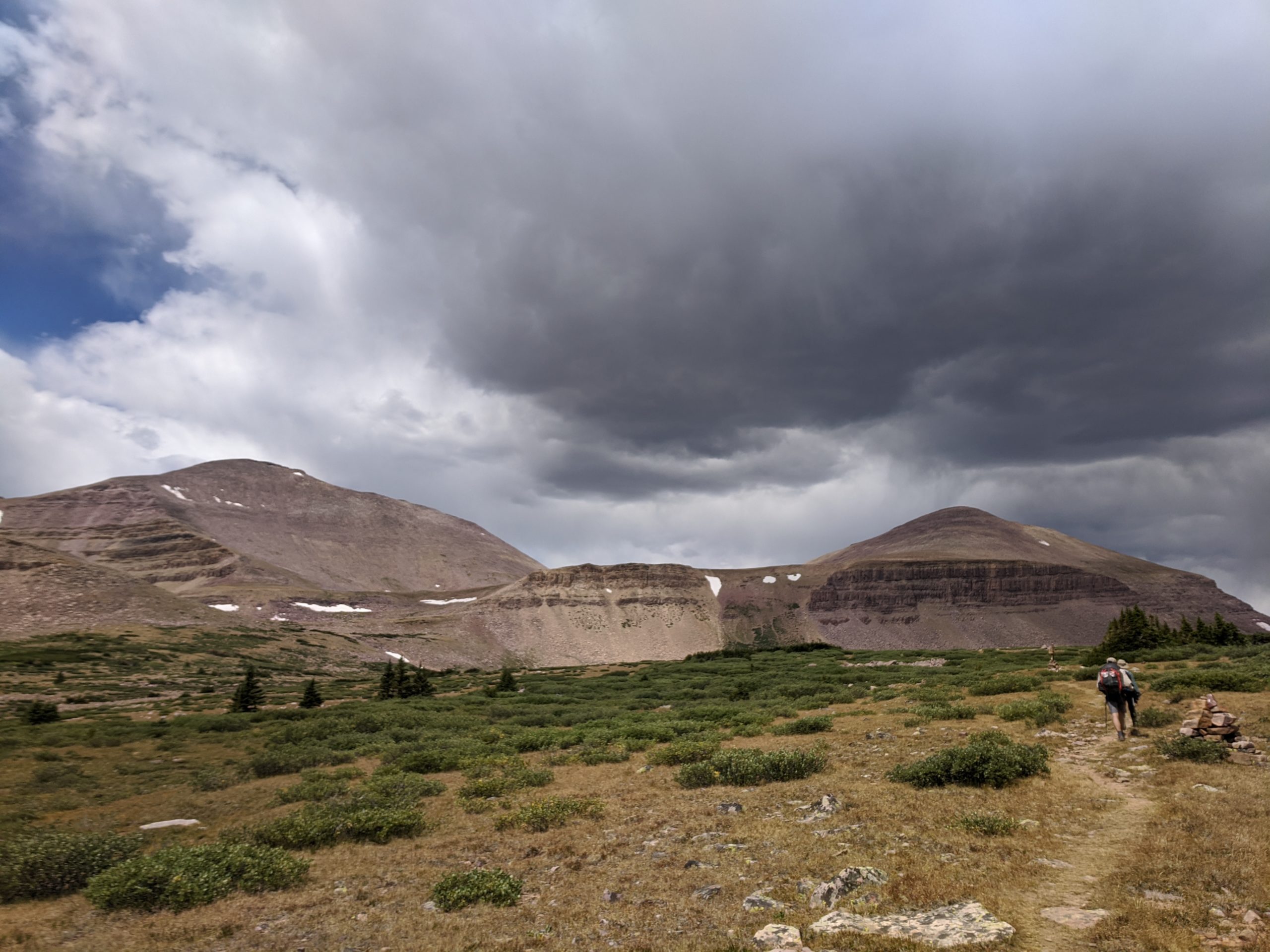
The descent was significantly steeper and sketchier than the way we had gone up, yet another reason to hike the trail East to West. After our knees took a proper beating from the rocks, we knocked out the remaining miles and made the relatively short climb to a lake just before Tungsten Pass. Immediately in front of the lake stood a beautiful round outcrop of Wilson Peak and to the East was a splendid overlook of King’s Peak ridge and further mountains in the distance. We pitched our tents near the shore and spent the afternoon relaxing, swimming, and enjoying the view. This is still one of my favorite campsites I’ve ever stayed at.
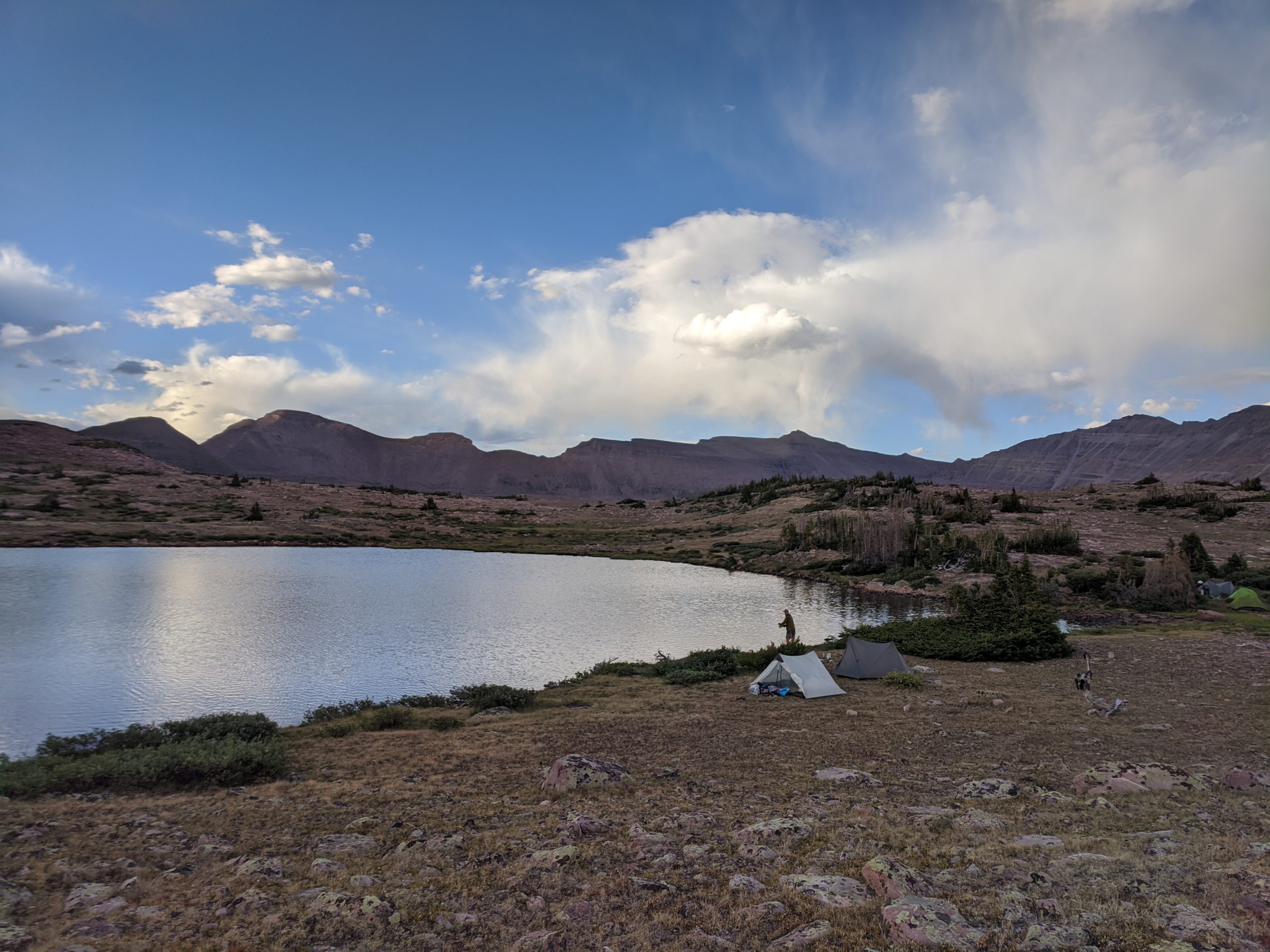
A familiar pattern we noticed was that each evening, clouds would roll in as the sun set and promptly clear up around 11:00pm. As the night sky was unveiled that night, stars exploded in vibrancy. We saw the humbling band of the Milky Way Galaxy in the most complex detail that I have ever had the pleasure of witnessing. There just happened to be a meteor shower that night, too. We laid under the heavens in complete isolation as the fleeting tails of shooting stars stole our attention across the night sky. The woes of the previous day were easily forgotten.
Day 6
Tungsten Pass to Red Knob Pass
Distance: 15 miles
Elevation Gain: 2,433′
The remainder of Tungsten Pass was a breeze, quite literally, as the cool morning air had us bundled up as we made our way into the Garfield Basin. Visible in the distance was the much more daunting, Porcupine Pass, which shaved the lowest point between Wilson Peak and an unnamed mountain, both just under 13,000′. At this point, we were getting used to the daily hauls over the passes and even looked forward to them as they always provided stunning views from the top and meant the rest of the day was easier from then on. We followed tight switchbacks up the ridge and were on top before much longer. The descent led us down a gradual, almost parallel slope that brought the magnificent ridgeline of Stone Peak into view on our left. The trail eventually flattened out as it drove directly between massive ridges to on either side. The rock was a bright, saturated hue of red with ribbed indents. The wilderness in the High Unitas is so special and unique and the mile or two west of Porcupine Pass is one of my favorite sections of the entire trail.
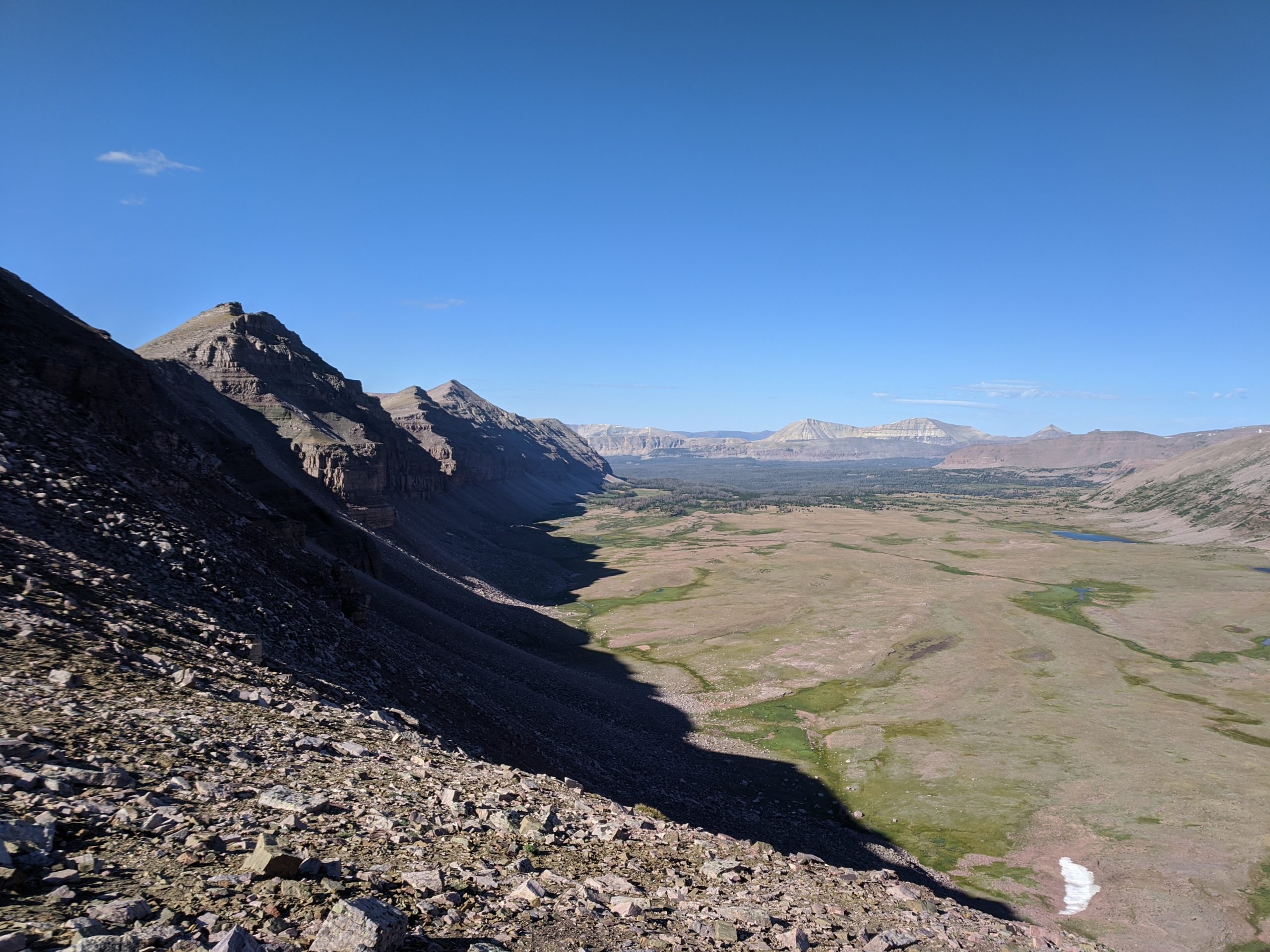
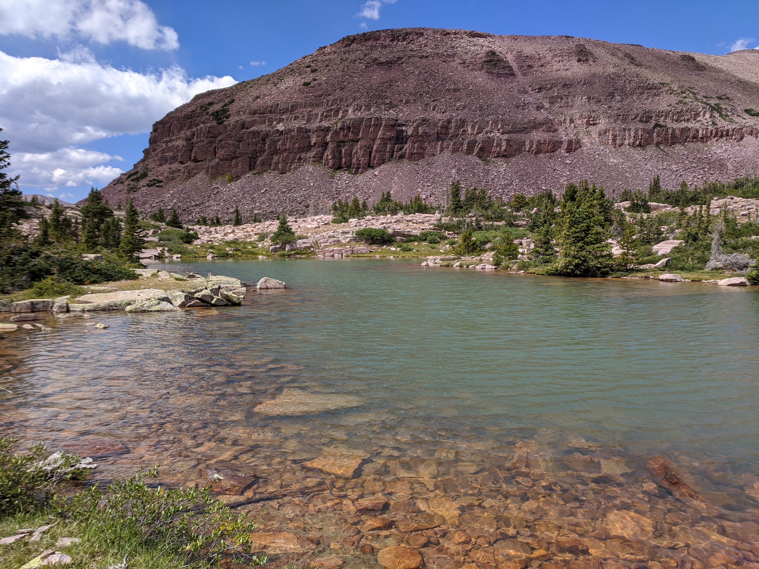
We still had about ten miles to go and the heat began to rise. We took an early lunch in a shaded grove along Oweep Creek. The scenery was familiar to the other basins, complete with dry, patchy grass and small clusters of pine trees. As we continued onward we came across a tiny, unnamed lake at the base of an outcropping of Mount Lovenia with gorgeous blue water. It looked straight out of a fairytale the way the water reflected the bluebird sky. We hung out on that magical lake for a short while and then kept trudging ahead to reach our campsite near Red Knob. The terrain became much rockier and drier, resembling what you might see in the southwest. We overlooked a forest of stout fir trees in Lambert Meadow that we soon found ourselves hiking around, then through.
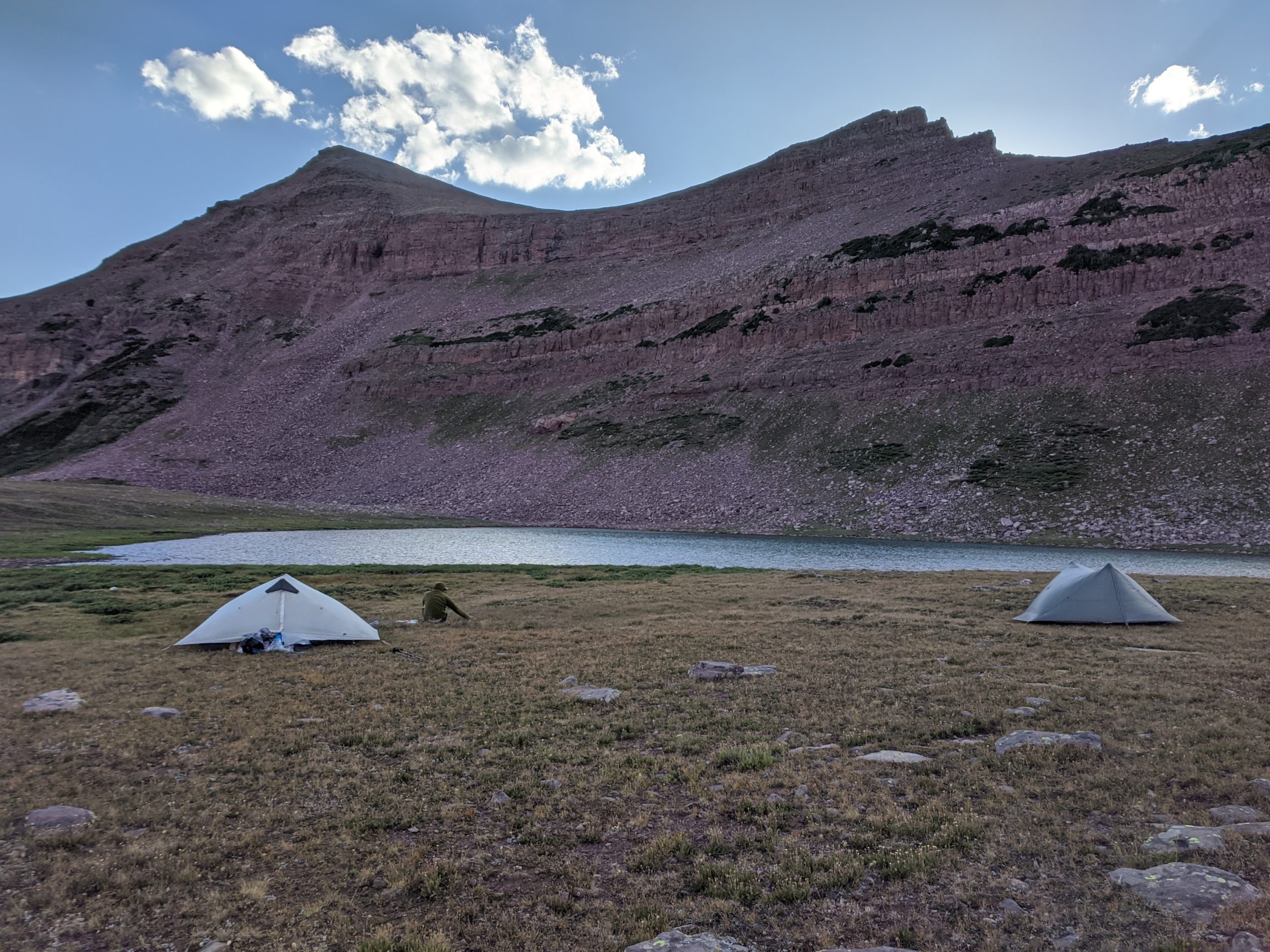
We climbed out of the meadow and began seeing sheep pop up everywhere. We are unsure if they were domesticated, free-range or not, but there were hundreds scattered among the rolling hills. After another few, grueling miles the ground flattened out at the base of Red Knob. We decided to pick one of the lakes not dominated by our sheep companions and pitched our tents in an exposed spot just off the water. We retired to out tents early, but the beating sun soon flushed us back outside. Another group of hikers were camped with us and after enviously watching them cool off in the water, we decided to go swimming too. Even in the afternoon heat of August, the water was absolutely frigid. Another fifteen mile day was in the books as the sun dipped behind Red Knob.
Day 7
Red Knob Pass to Pigeon Milk Spring
Distance: 14.5
Elevation Gain: 3,394′
I’m not sure whose idea it was to climb three passes in a day, but I’ll blame it on Tim. First up was Red Knob Pass, the path illuminated by the morning light. With fresh legs and spirits, we knocked it out without much trouble. On the opposite side, the trail made an epic journey across the ridge towards Red Knob. The entire descent offered stunning new angles of the mountains and the valley below with fleeting shadows as the sun rose further into the sky.
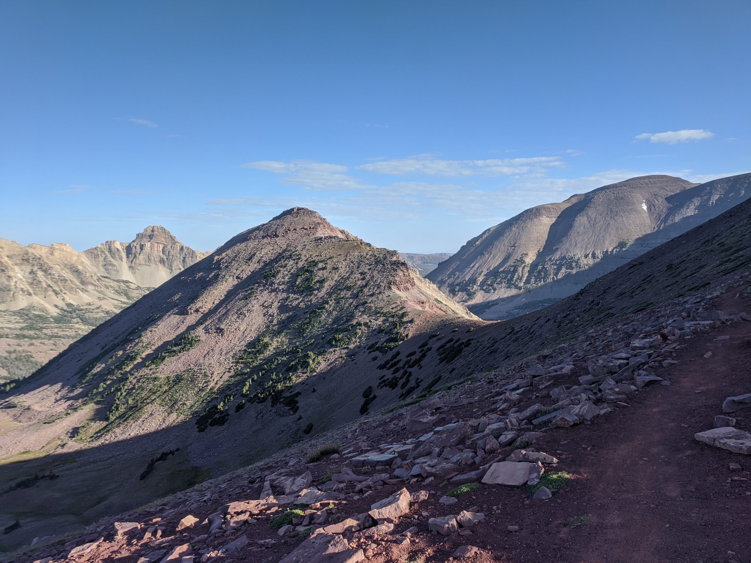
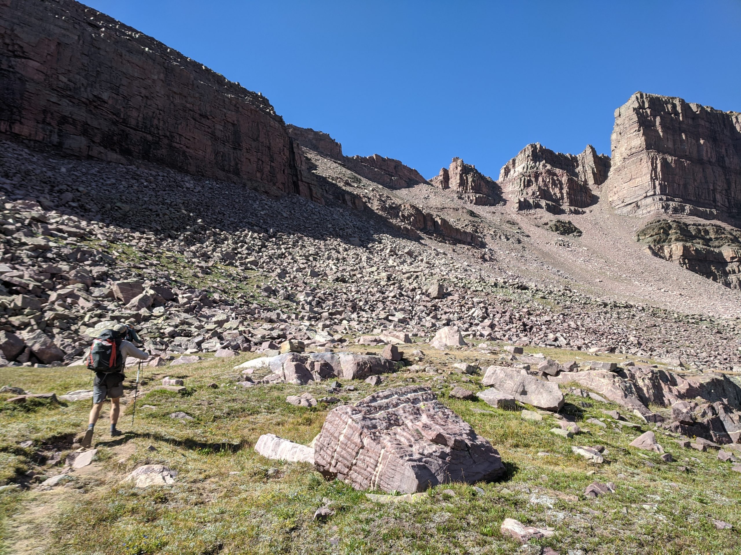
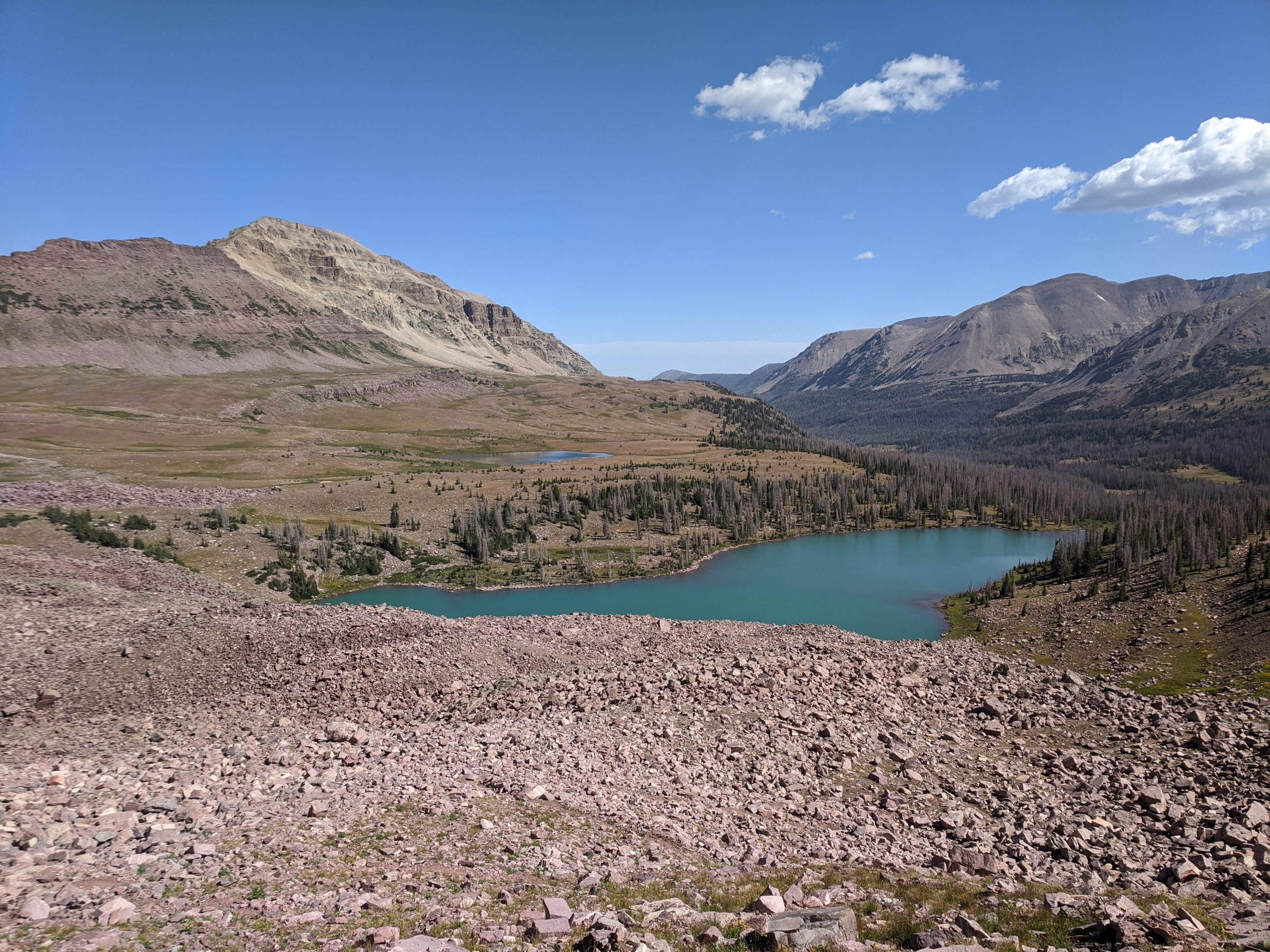
Here, we entered a lush valley with wildflowers and bright, green grass we hadn’t seen since we entered the deep mountains. The trail followed the valley for a few miles before reaching Dead Horse Lake at the base of Dead Horse Pass. This was yet another beautiful lake, with vibrant blue water that stretched up to the foot of the rocky ridge. Emphasis on “rocky” as this pass was by far the sketchiest of the trail. Looking up from the base, it was hard to visualize exactly how trail went over the steep, rock pillars that stood triumphantly at the top. We soon found out that the answer was a scramble over large, loose rocks that slid away as we passed, the trail was literally dissolving under our feet as we climbed the pass. It was dangerous but incredible to conquer Dead Horse Pass, from the top we had a a splendid view of the lake below. Again, we followed the ridge a short way before the trail descended into the next basin that was riddled with boulders.
Our original plan was to camp along Rock Creek, ten miles into our hike that day. However, this would make our final day over fifteen miles and allure of civilization began to settle on our minds. We decided to push forward to the final pass of the trail, Rocky Sea Pass. The miles between were mostly uneventful. We stumbled upon a dried lake bed, which seemed appropriate given the name “Rocky Sea”. We rested up there at the base of the pass and buckled down to complete our third major climb of the day. Rocky Sea offered more excellent views and we began seeing more dense, forested regions on the other side of the mountain.
We wanted to find the nearest campsite, as we were exhausted from the extended hiking. After the climb down, we passed Pigeon Milk Springs, aptly named for water with a “milky” appearance due to sediment from the ground water. The pigeon milk refueled our spirits. Making sure to fill all of our bottles with precious nectar, we hiked on for another half mile before finding a nice, dry campsite in a field among the trees. Since we had plenty of wood, we made another fire that night. We reflected on the trip thus far and shared our favorite sections, sad to be spending our final night in the beautiful wilderness.
Day 8
Pigeon Milk Spring to Hayden Pass
Distance: 6.7 miles
Elevation Gain: 942′
Backpacking is unique in that your goal is always to be finished. That morning, tired of cold food and aching feet, we wanted to finish the eight remaining miles and reach our car as quickly as possible. We set off through the forest over rolling hills and considerably more lush landscape than the previous few days. As we got closer to Hayden Pass and one of the most accessible locations of the region, we passed more and more day hikers.
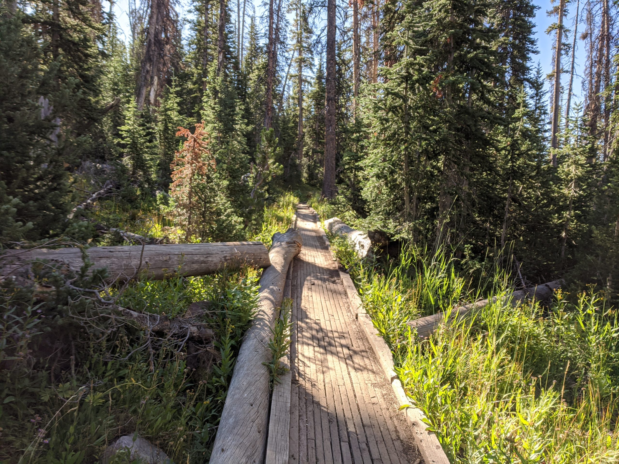
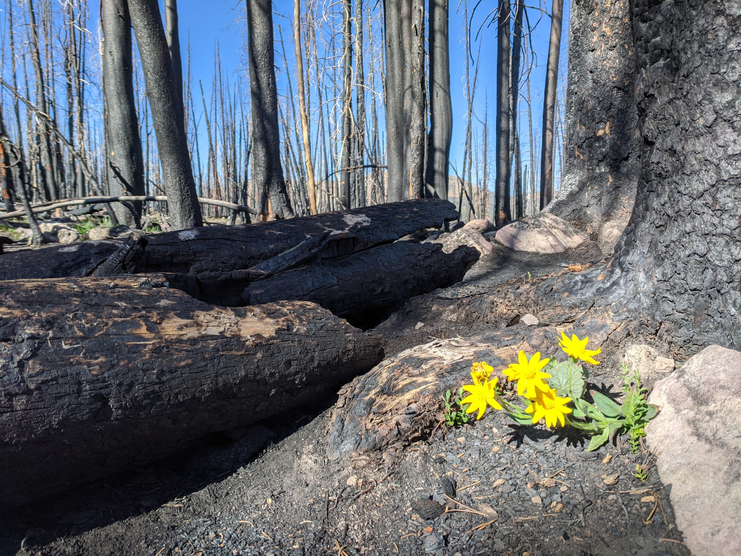
Seemingly out of nowhere, we stepped into a burn zone that appeared fresh within a year or two. This was a jarring contrast to the 100 miles of pristine wilderness we had just traversed and a humbling reminder of the devastating impact of wildfires. The trail was thick layer of ash that felt like walking on sand. We hiked over a mile through the barren wasteland of burned trees before coming upon a small lake with life abounding on the shore. Life, uh, finds a way.
This was the longest hike any of us had ever completed and the three of us shared an overwhelming sense of accomplishment as we made the final climb to the Hayden Pass trailhead. We had overcome dehydration, altitude sickness, and over half a dozen passes of the tallest mountains in Utah. In total we hiked 104 miles and 15,000′ of uphill elevation gain. It was without a doubt one of the most difficult, yet rewarding experiences of my life. We looked forward to spending the remaining week in Salt Lake City, relaxing and eating In-and-Out on the shores of the Great Salt Lake.
