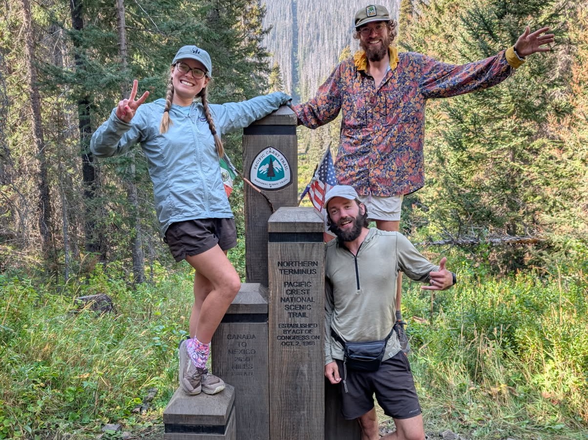
In April of 2025, Alex and Amy attempted to thru-hike the entire Pacific Crest Trail from Mexico to Canada together.
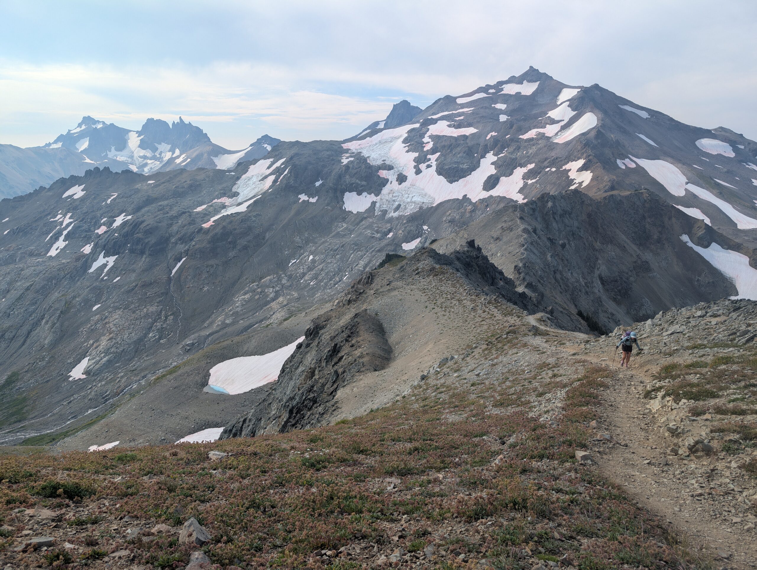
This was their second time attempting an endeavor of this scale. While having prior experience was beneficial at times, they were challenged in ways they could have never foreseen. Returning to the primitive lifestyle forced them to ask the simple question, “why?”. What was it about a grueling, five-month long hike through the mountains that was intriguing enough for them to come back and do it again? They found subtle answers in the sunsets they saw and the people they met.
In September of 2025, they reached the Canadian border after 145 long days of hiking. The profound beauty of the trail left an impression on them. Alex did his best to document the journey and his scattered thoughts along the way through a series of journal entries. Check them out below.
Happy to escape the interrogation, we vortexed at the bakery again. I literally tried over half of their offerings between both days. A few of … Read more
Throughout this hike, we have been shown kindness by people of many different backgrounds and beliefs. After feeling a bit of pressure that we stick … Read more
The day was forecast to be a scorcher. This was especially bad because it coincided with a tremendous, 15 mile burn section. At points, the … Read more